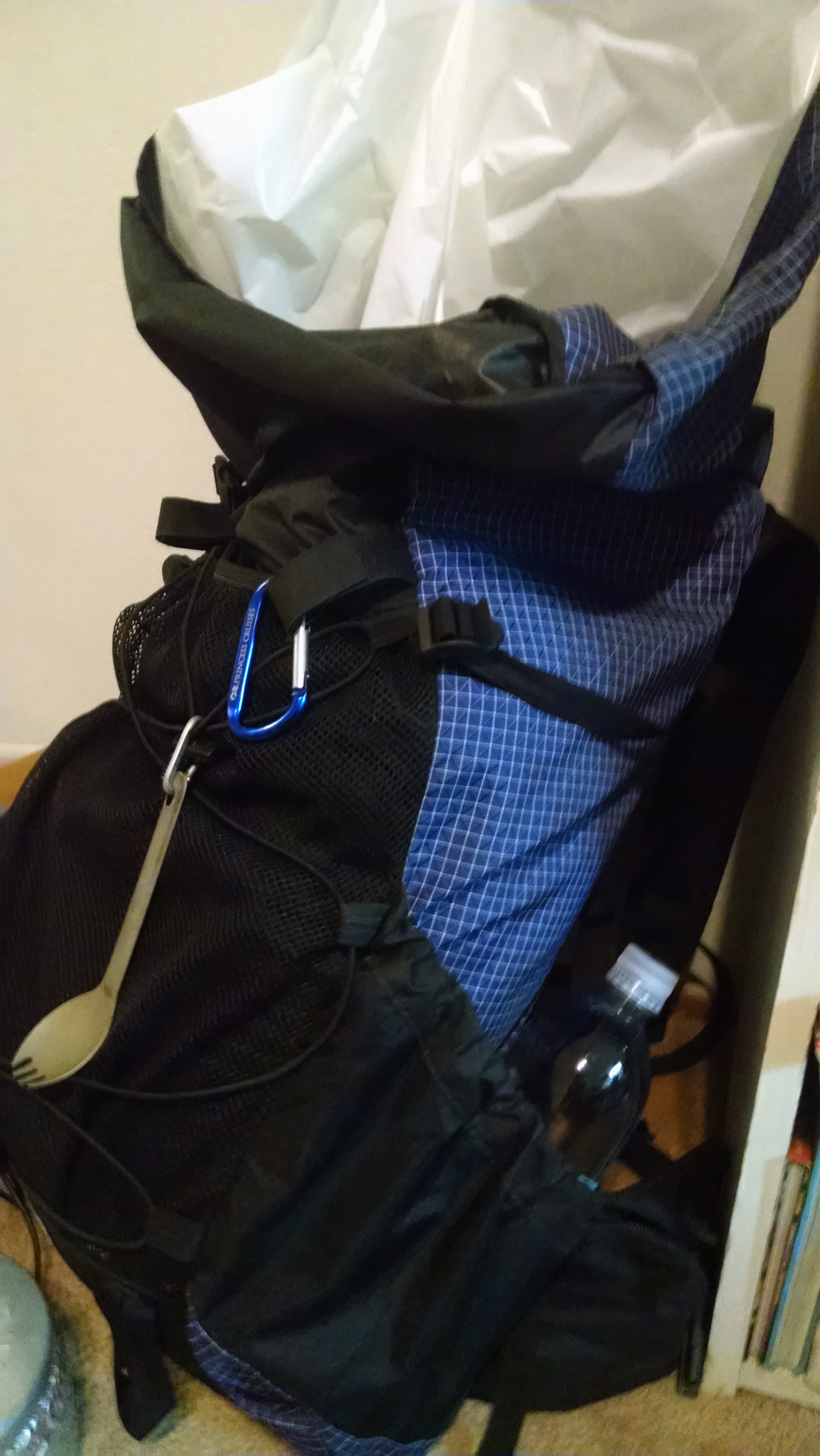
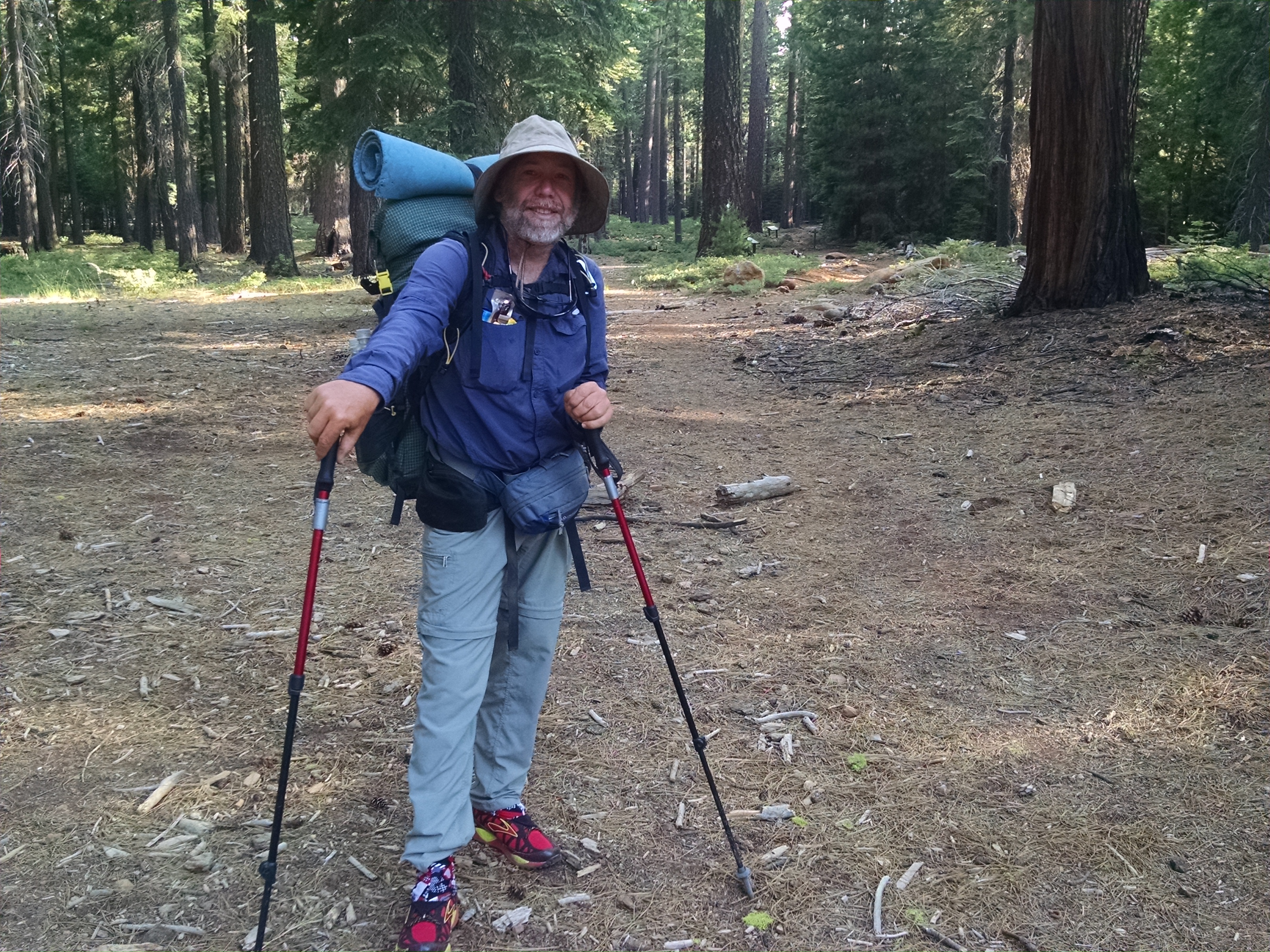
Kevin, my youngest of three sons, will be joining me on the trail after the wedding. He plans to hike through Oregon and Washington, to the Canadian border. We just have a couple of days to go over his gear and purchase our resupplies. Luckily, Brian has offered Kevin the use of his gear. Since Brian and I worked together planning our PCT hike, I am very familiar with the gear.
Food is tricky because there are not as many good resupply locations in Oregon and Washington. My plan was to make multiple resupply boxes in Ashland, and ship them forward. The same strategy applied to Cascade Locks. Now that I am home a few days, Kevin and I are trying to do as much of the shopping and packaging as time will allow. Terri will then have to ship for us, and probably complete some additional purchases.
In addition to my trail planning work, Terri has a short honey-do list that involves changing the oil in the Pilot, fixing the garage door, and replacing a leaky faucet. Number one son Daniel helps with the first two items.
It is great to be home, but also very strange. For some odd reason, not walking has me absolutely exhausted.
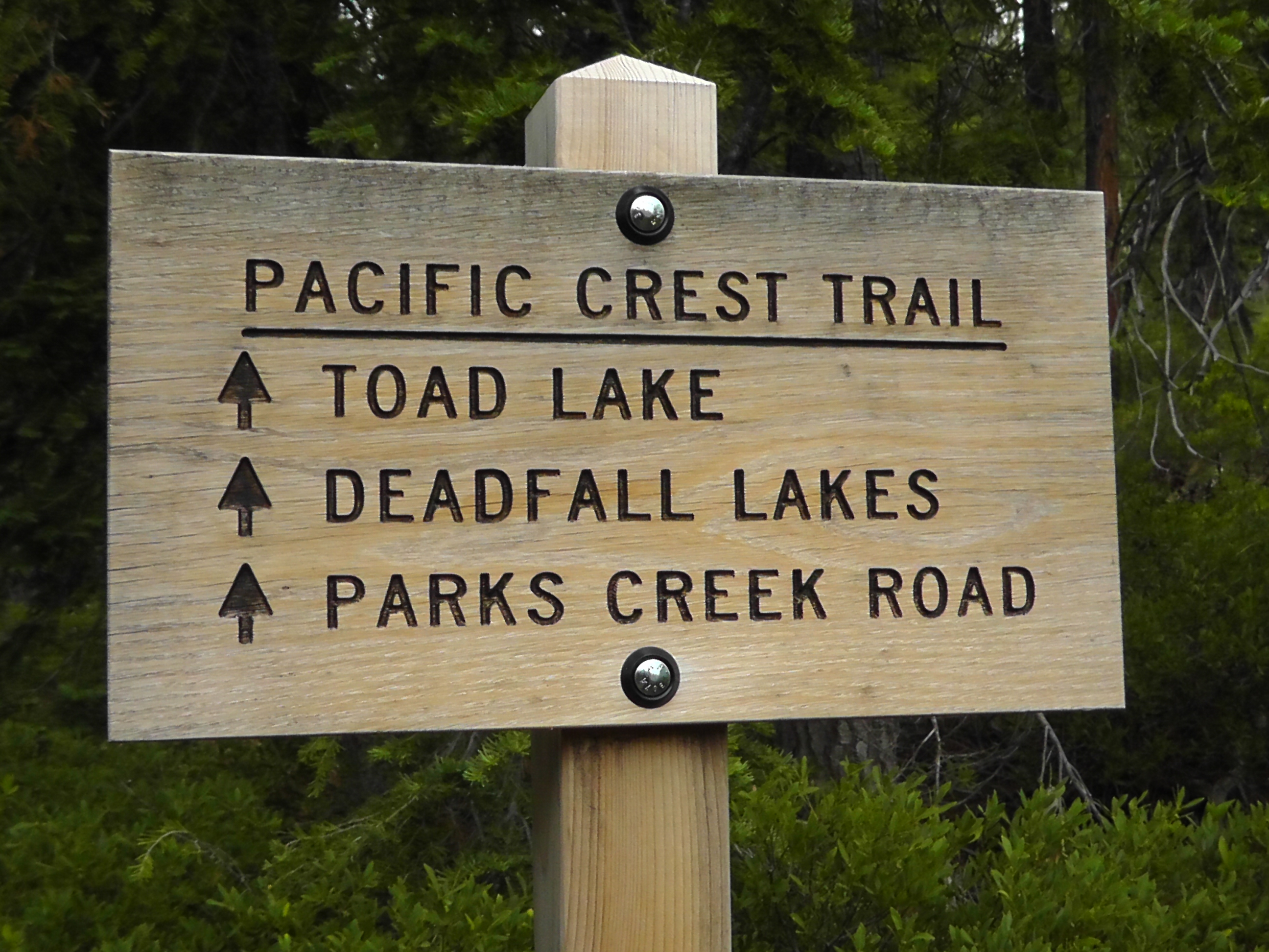
I wake to the sound of a galloping horse, which turns out to be Deadfall Lake slapping my shore with wind blown waves. I take my sweet time making coffee and gathering my things. I have 23 miles to cover, much of it flat and down hill. Terri is leaving home after work so I do not expect her at Highway 3 until late. About 8:00pm by my calculations.
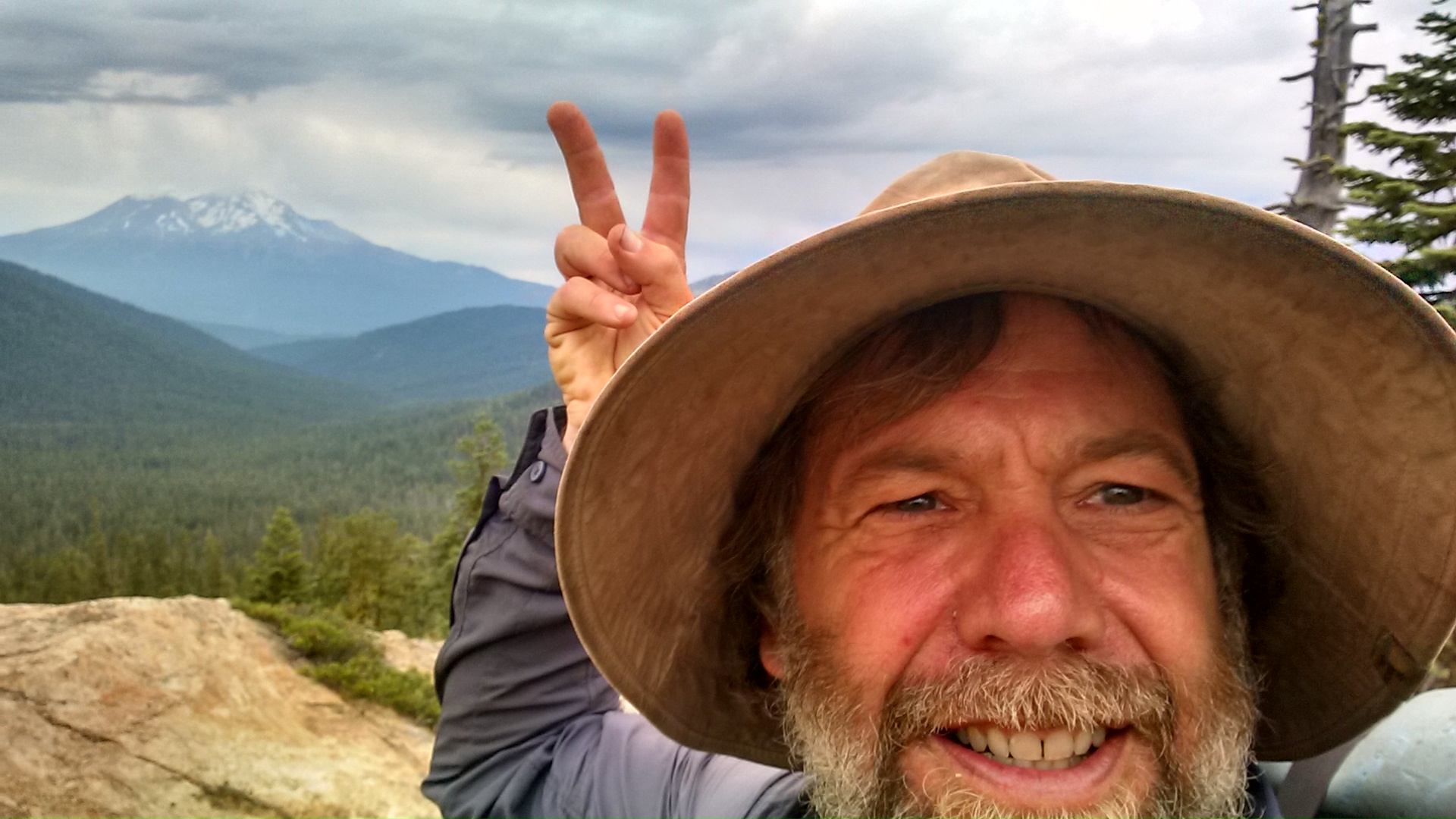
Shasta photobombs selfie photobomb
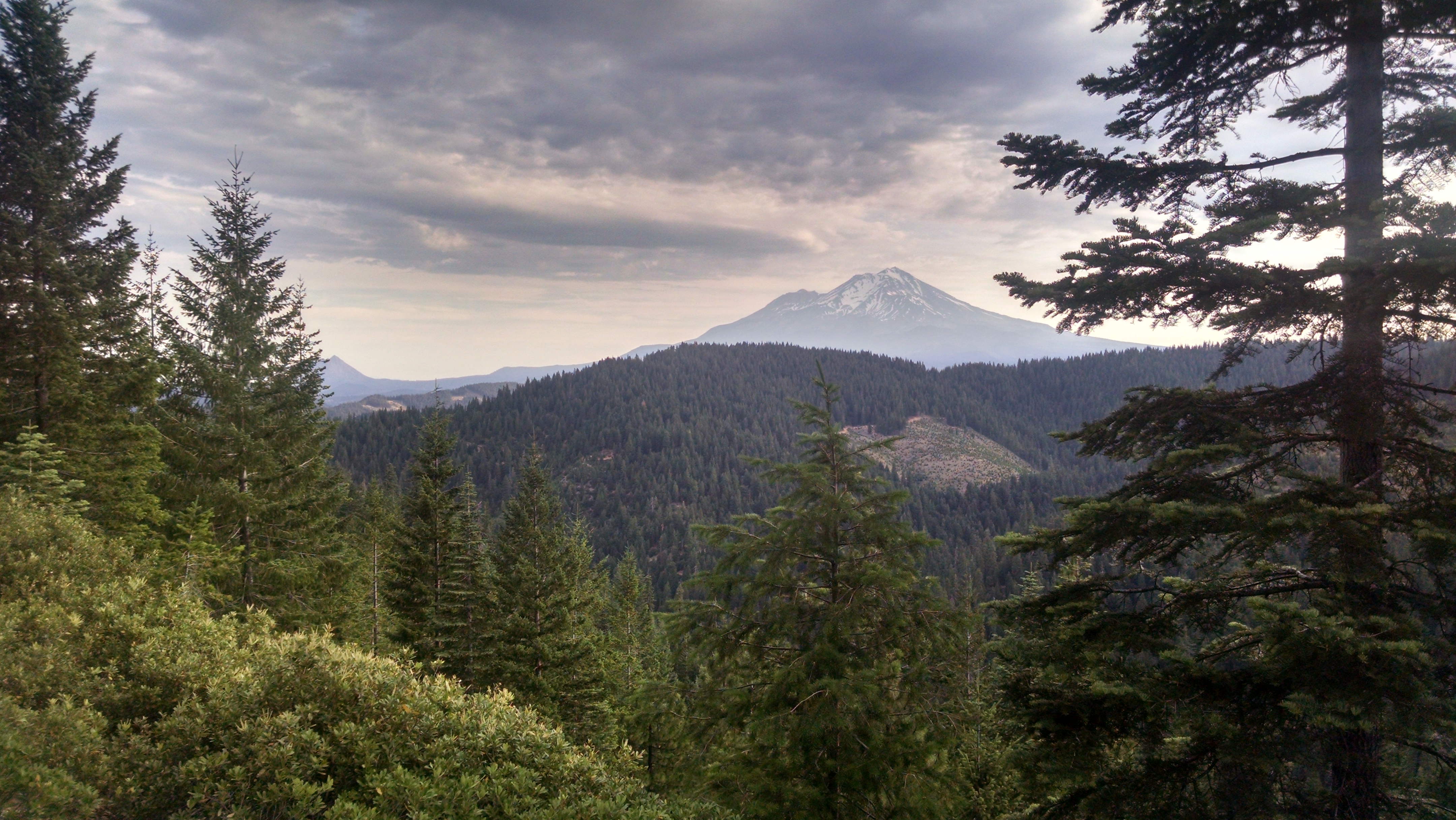
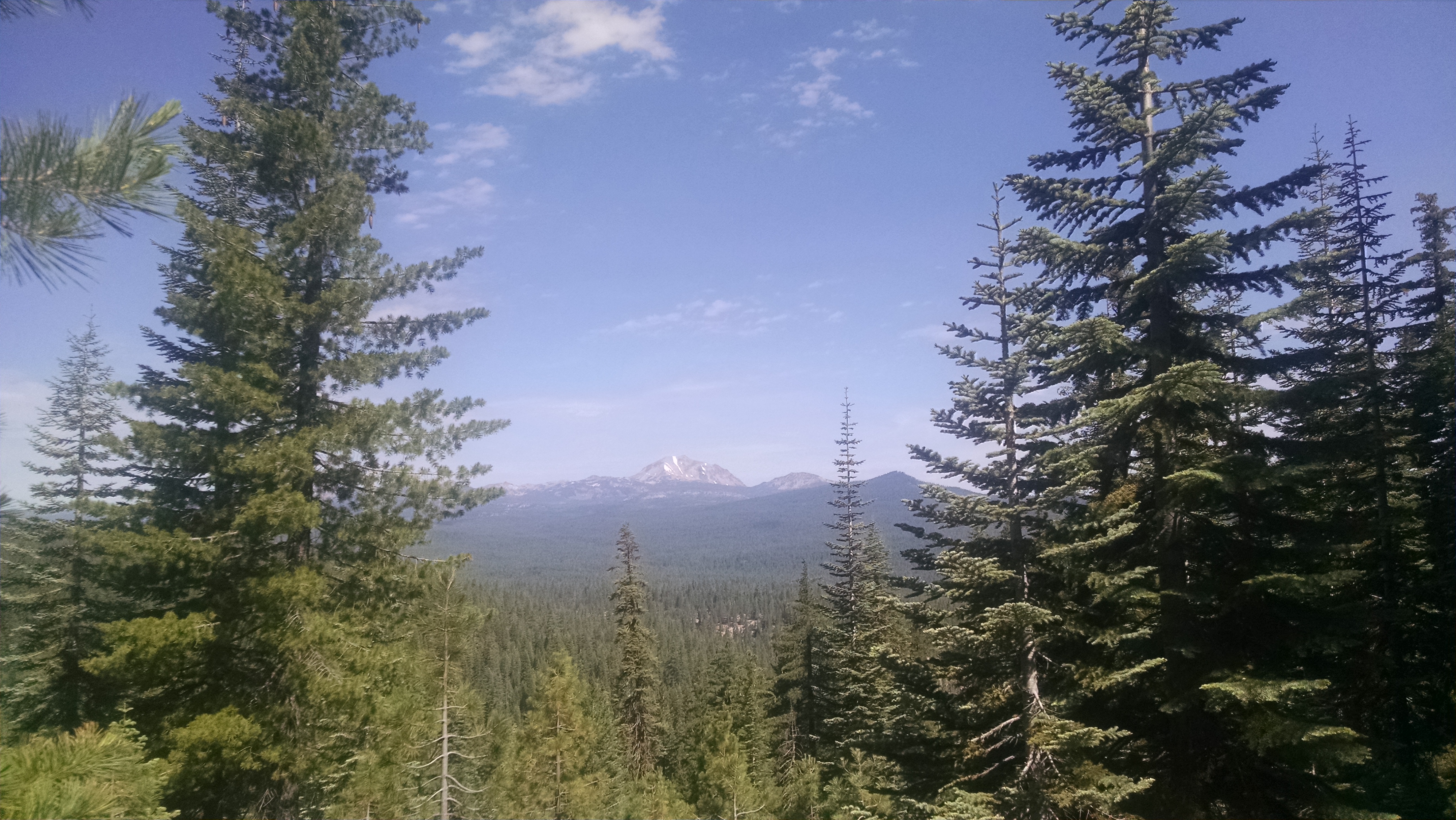
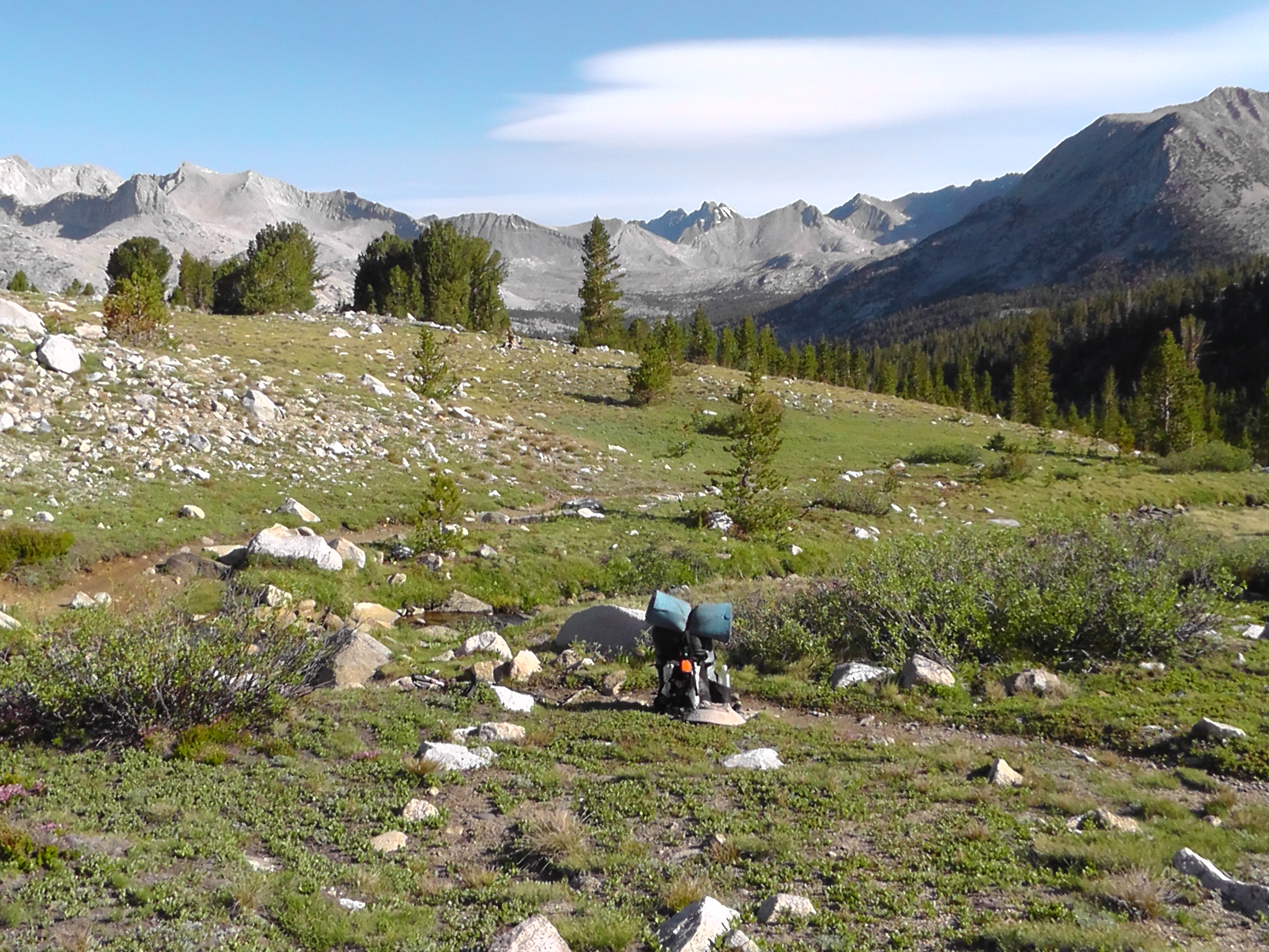
As I meander I keep seeing Mount Shasta poking its bald frosted head in my scenery. It reminds me of a time I asked Daniel to take a few pictures of Shasta and he ended up taking something on the order of 400, completely wiping out my camera battery. I am beginning to understand the problem. In this part of California no matter what you try to take a picture of, Mount Shasta will shamelessly photo bomb it.
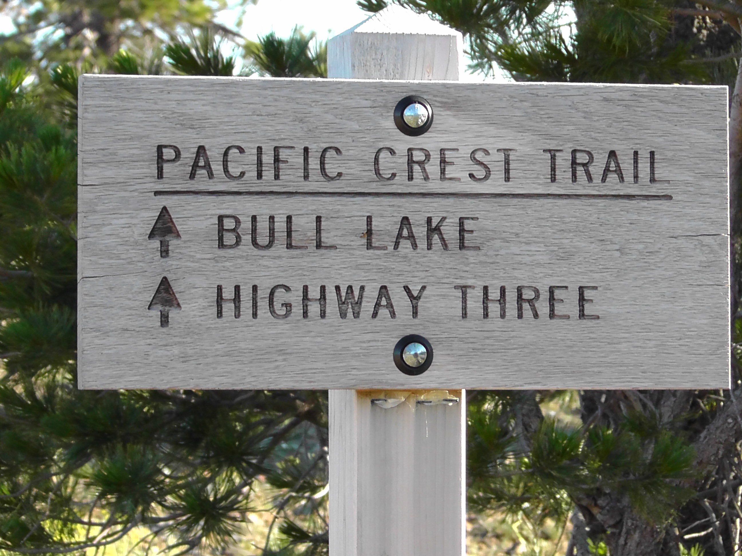
During the entire day of walking I only encounter one other hiker. She is an exhausted southbound solo section hiker carrying more than twice my load. Her pack looks like something I might carry as a guide on a typical Fitpacking trip, but at this moment cannot comprehend. I wish her well and keep moving. Terri has always had to wait for me at trailheads. Today it will be my turn. I hope to sleep a few hours before she arrives.
Highway 3 please!
As I reach Highway 3 there are several cars parked on the shoulder. The one attached to a boat has its hood open with three men leaning in, scratching their heads. It reminds me of every boat trip we ever took with my Uncle Bob or brother in-law Mike. Something mechanical always demands the attention of someone mechanical. I notice the last car in the lineup is a Honda Pilot, very similar to ours. I ask a woman standing nearby “Is that your Pilot?” She replies, “No, that is your wife waiting for you.” Now I was not fooled into thinking I am married to a Honda Pilot, but it did reveal I am in fact a fool. How did I get the pickup time so wrong? I have been meandering thinking I am three hours early, when I am over an hour late. Terri is more forgiving of me than I am of myself.
In Weed we stop for old fashioned milkshakes and food. Terri drives me home, probably wishing the car windows were rolled down.
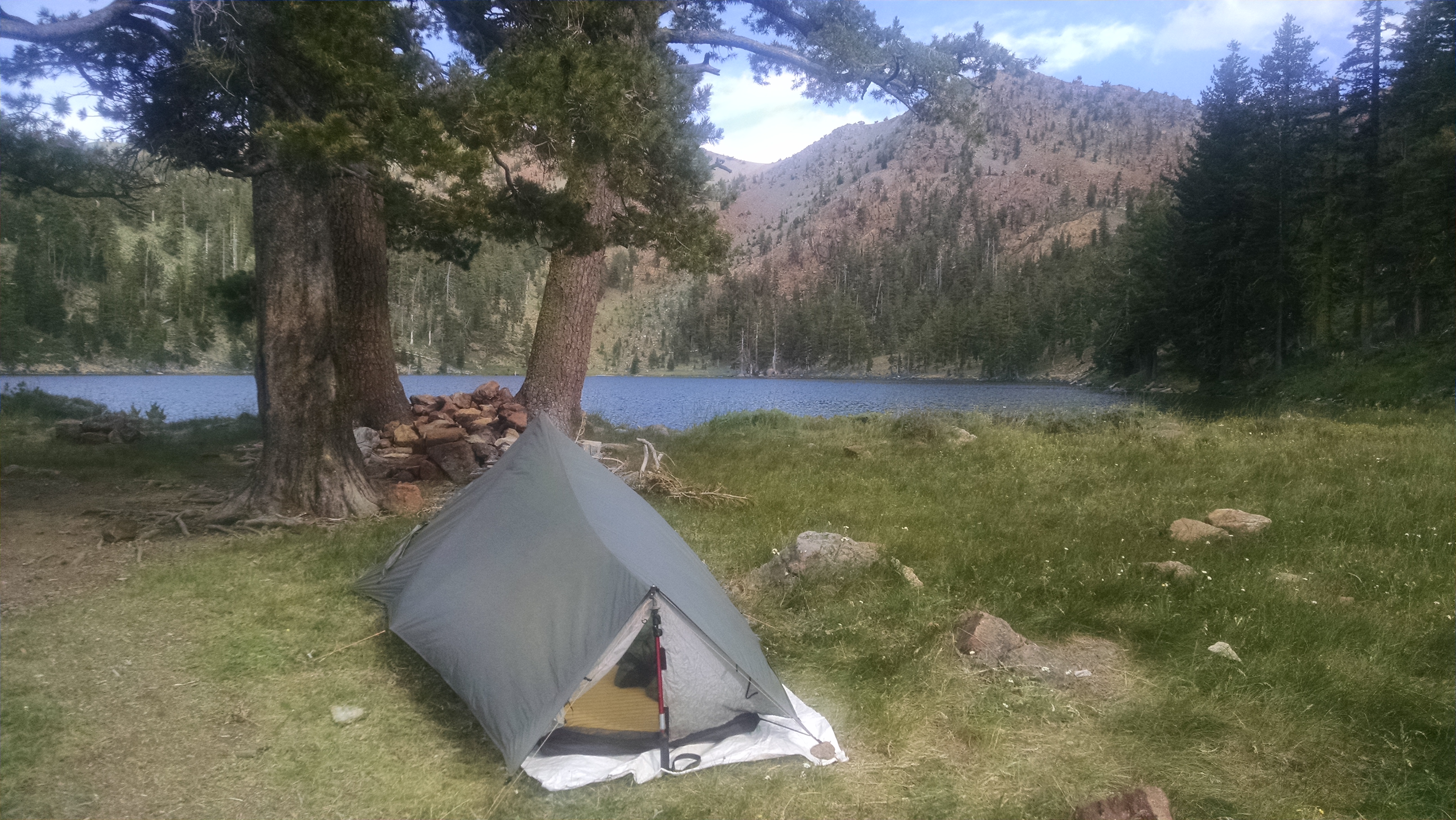
I wake in the night and exit my tent to pee. In the darkness I notice the outline of a tent. I have a new neighbor. It can’t be Senior Whiskers as he typically uses a bivy, which is pretty much just a water proof cover for his sleeping bag. Whoever it is, at least I am not alone.
I quickly return to my dream state, only to be woken by an unexpected show. Apparently the good Lord remembered I had not had the opportunity to observe any of the Fourth of July pyrotechnics, so he gathered up all the left overs and detonated them directly over my head. The lightening storm is amazing with single, double, and triple flashes followed immediately by thunderous roars. Some of the roars last so long I am certain the thunder machine has broken and that a repair crew will need to be called in.
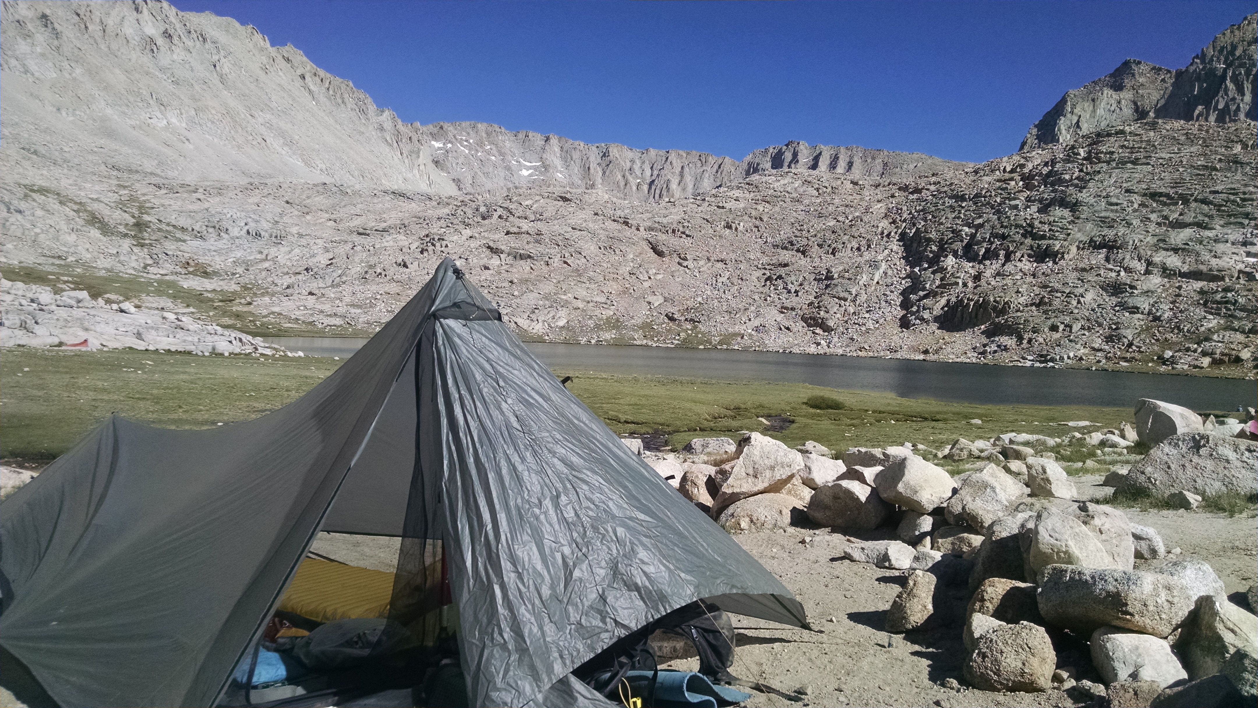
Up on this very high ridge I am quite pleased to be near a small clump of trees. If the lightening decides to touch ground I hope it will chose one of these trees and not my Benjamin Franklin combination lightening rod / trekking poles that are currently holding up my Tarptent. After an amazingly climactic crescendo, I hear a polite round of applause, which turns out to be rain on my Tarptent.
Deciding when it is safe to exit is a tricky game. Just when I conclude the inordinate time is inordinate enough, there is another flash bomb, resetting my game delayed clock. I eventually decide to defer to the better judgement of my neighbor. When he or she decides it is safe to hike, so will I. After all, the stranger is likely to be taller, providing me an extra measure of safety.
Eventually, lightening or no lightening, my body informs me it is time to exit the tent and dig a 6 inch hole. Once my duty is complete, I return to discover my neighbor’s tent has been struck by lightening. How else do I explain its sudden transformation into a large arching log, clearly in the shape of a tent? I slowly begin to question the wisdom of deferring this decision. I clearly need to find water, the neighbor not so much. After a lengthy discussion we agree to separate. We promise to write each other, but both know we never will. After packing up and heading out, I refuse to glance back, afraid to discover it is no longer even looking at me.
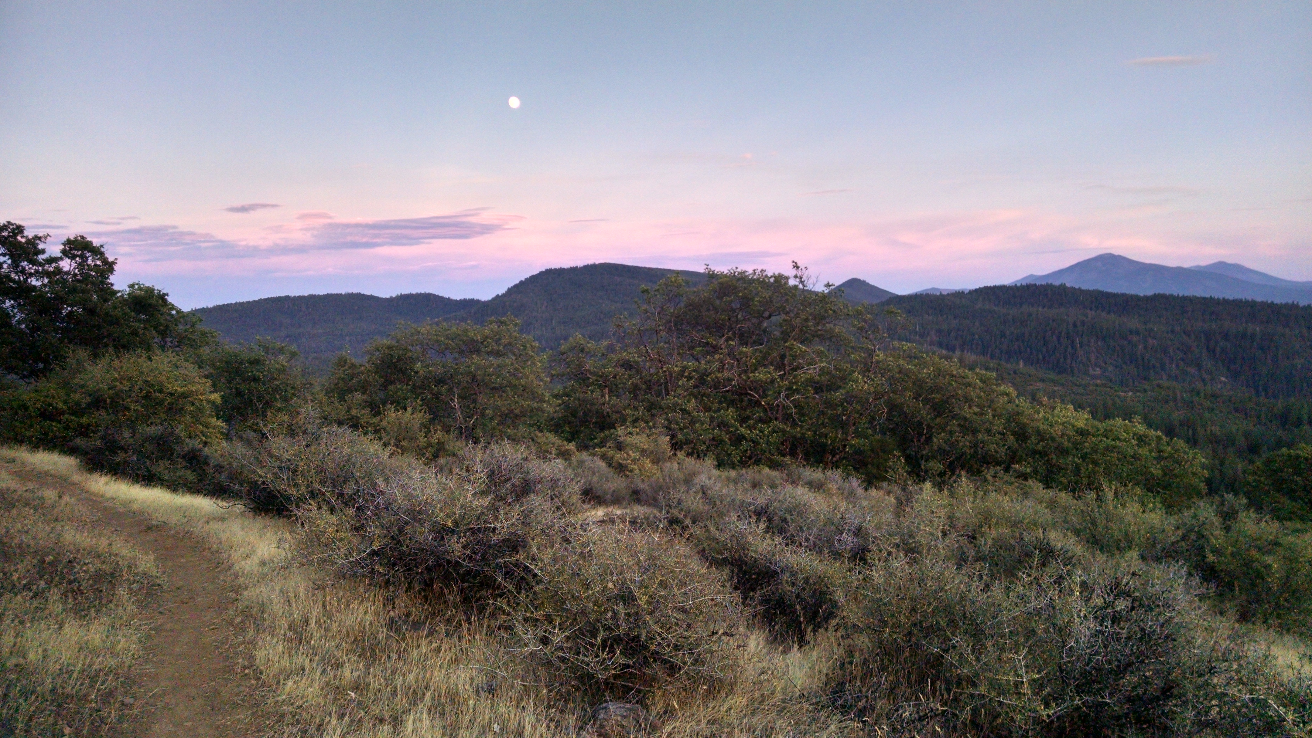
As I hike this razors edge ridge, it is clear this is no place to be during a lightening storm. Looking around I see no one. Without a mirror I cannot see the only idiot out here. This trail is my only reminder that other people exist. I will follow it toward Highway 3, Terri’s pick me up location.
At a spring I am surprised to find Senior Whiskers. He did not have the patience to zero in the Castle Crag State Park. He left a few hours after I did and camped a few miles behind me. He apparently passed my camp very early without either of us knowing. He was hiking during the lightening storm and was actually knocked to the ground.
We hike together to Deadfall Lake. After a rest, he pushes on to get more miles. I am doing the opposite. I am slowing down so I don’t have to sit all day at Highway 3 waiting for Terri. I swim in the lake, rinse clothes, and relax.
It is Independence Day and I will celebrate it by walking independently. In other words – alone again, naturally. I wake at 4:00am, drawn towards the beckoning light of civilization. It is attached to a building of significant convenience – the one with fixtures and indoor plumbing. After making a sizable contribution, I return to finish packing.
As I exit camp under headlamp Senior Whiskers wishes me well. It is possible we will see each other again on the trail, but I doubt it. Everything about the trail seems transient, especially the relationships. I have enjoyed his company and will miss him.
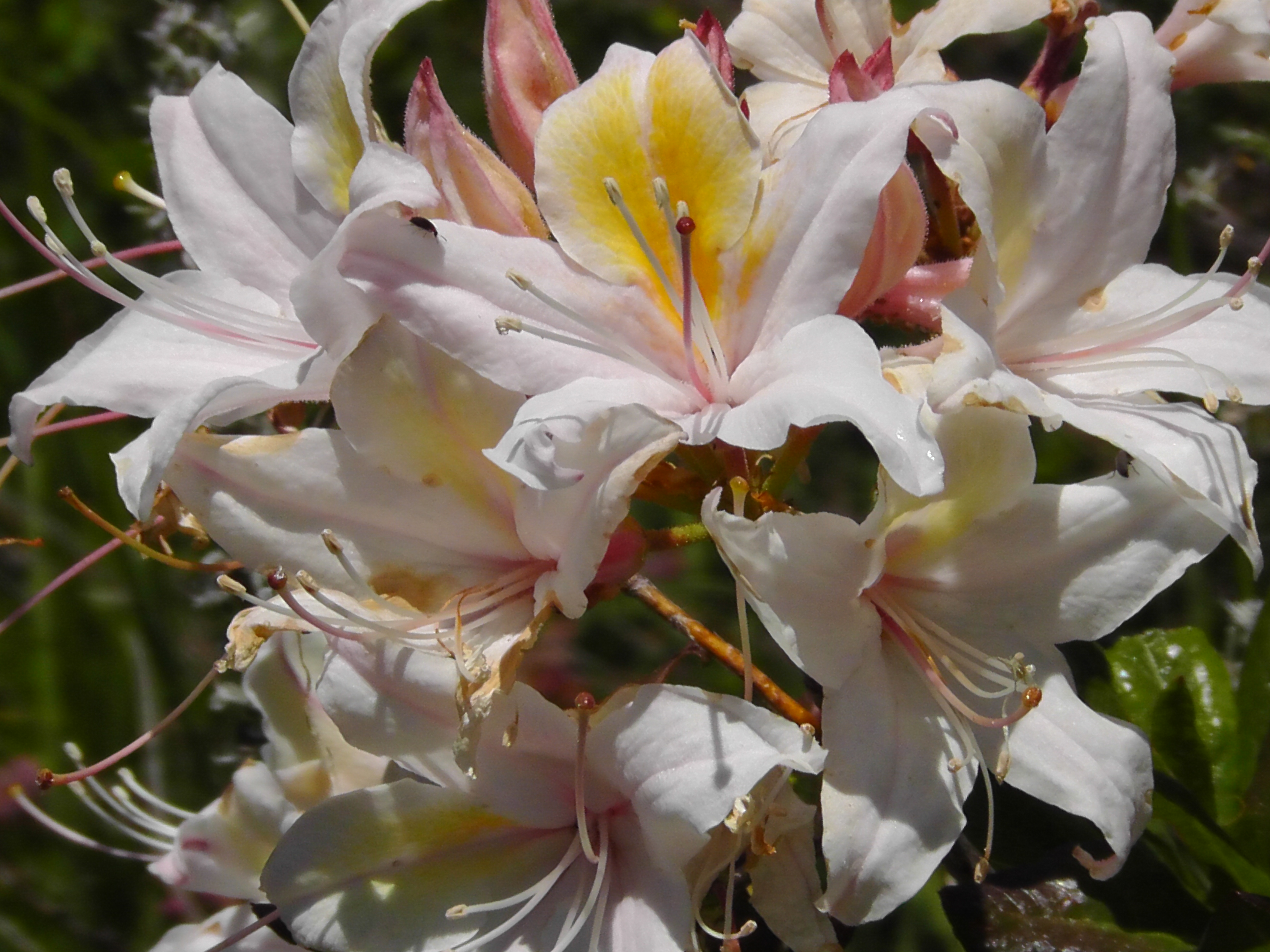
Wild Flowers
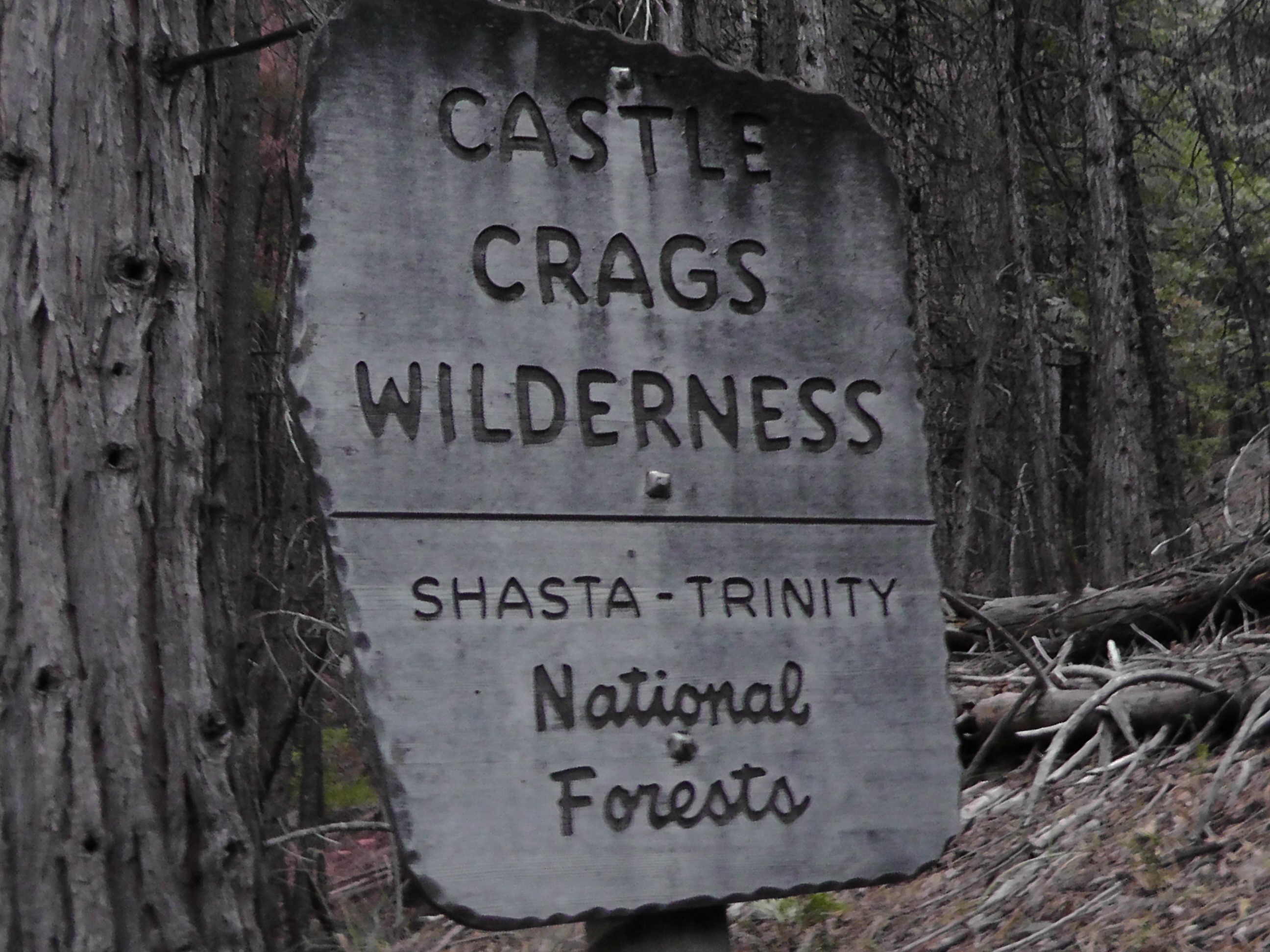
My mission, however, is not to miss my niece’s wedding, which requires that I get over this monster elevation known as Castle Crag and the Trinity Divide. I will climb from 2,200 feet to over 6,600 today. I work my way through various state park trails until I rejoin the PCT and start my climb. It is hot and humid, but I just put down my head and go. There are few water sources. One is the sight of a recent fire, which appears to have been bombed with red fire retardant. Now there is a sign saying DO NOT DRINK THE WATER. I notice it does not suggest what I should drink.
I eventually find a seasonal spring, which is really nothing more than a hole the size of a water bottle dug out under a clump of grass so the water trickles off the exposed hanging roots. It takes a while in the scorching heat, but I capture and filter 3 litres. It will have to get me through hiking, dinner, breakfast and hiking to the next seasonal source.
I find a tent site the required 20 miles in. My hike to first water tomorrow, however, will be over 10 miles. It’s funny how when you camp next to a stream you hardly drink anything, yet when you dry camp your mouth immediately feels like Death Valley and you want to irrigate it enough to grow rice.
Although I am camped in the wilderness I can hear repeated gun fire in the distance. I assume someone is illegally celebrating the Fourth, or I am closer to Oakland than I thought. Either way, I am tired enough to sleep without a care.
I wake at 4:00am and notice Senior Whiskers is on the move. He grabs water from the creek and heads up towards the trail, before I have even figured out where my VIA coffee and stove are. We have 17 miles of trail, including a long straight up climb towards Interstate 5 and it is going to be hot.
Now thinking logically, if a 17 mile trail goes straight up it must end on what, the moon? In which case shouldn’t it be Intergalactic 5, or Outerstate 5? An unexpected cloud cover makes the climb more tolerable than expected. In the distance I keep seeing Mount Shasta.
I am not exactly clear on the physics, but I assume it involves rolling logs, elephants and a team of immigrant laborers. Regardless of the rate I hike towards it, Mount Shasta moves away from me at the exact same rate. Now before you start in about optical illusions, let me say I have become quite an expert on walking. I have walked almost 1,500 miles on this trip. I have successfully walked to and passed all kind of rocks, trees, creeks, hills and yes, mountains. For example, I can no longer even see Mt Baden Powell, or Lyle Peak. But this Mount Shasta has me trapped in some crazy orbit where I can see it from a variety of angles, but I never get any closer.
Sacramento River
Crossing the Sacramento River and Interstate 5, I head towards Castle Crag’s campground. The park is a confusing jumble of trails and roads, but I eventually find the gas station/store. Other thru-hikers are here and we take turns trying to out calorie each other. I consume a roast beef sandwich, Fritos, a quart of chocolate milk, a root beer, an orange juice, Pringles and two pints of Hagan daz Ice cream. It is still not enough calories to make the opposite of a dent in my body.
I pay $3 to stay at the hiker campsite. On the way I also pay for and take a quick shower which seams silly given I have no clean clothes, but it feels great. Tomorrow I will hike on alone. Senior Whiskers is taking a zero, but I need to make it to Highway 3 in 3 days where I hope to be picked up by Terri. Lauren’s wedding is coming up and it is the last logical place for her to get me in time.
I wake at 4:00am and start making coffee. In the distance I can see a headlamp. Senior Whiskers is up and packing. Since he is hiking stove-less he will beat me on the trail by at least a half hour, but I am guessing he will be groggy without the hot caffeine.
Green Tunnel
The first part of the hike is beautiful on an exposed rim, but even before the sun is up it is radiating significant heat. This could be a nasty one. Once over the rim and back in the trees the temperature drops but so does the quality of the views. For the first part of the day there are lots of seasonal streams. It is getting very hot, but we have plenty of water and reasonable shade.
At the McCloud River we setup on opposite ends of the bridge in the shade. We snack, rinse clothes, soak body parts and wonder how long we can afford to stay. Tomorrow we should reach Interstate 5, but at what time depends on how many miles we do today.
After the McCloud River, water sources become fewer and farther between. We target Trough Creek and have to bushwhack our way through the overgrown and under maintained trail. I make dinner and rest by the pretty but tiny cascade. NoTent, who I hadn’t seen since Kennedy Meadows North, shows up. He asked me to thank Terri for posting some message on his blog.
Trying to get a few more miles we push on to Squaw Valley Creek. The water is great but there really is nowhere to camp. It doesn’t matter. We are done. We throw down tarps and bags and squeeze ourselves into a couple of small ledges.
I wake at 4:30, make coffee and eat a giant smashed cinnamon bun. I catch and filter water right before it trickles into a disgusting pool. Timing is everything.
Mount Shasta in the Morning
We hike about 4 miles to Clark Spring where we catch BLT, Klutz and Mountain Goat. They slept here last night and are now heading out. Senior Whiskers and I filter water and rest before pushing on to Moosehead Creek which is 11 miles ahead. It is too far to get to and avoid the mid day heat, but it is the next place with water. At Moosehead we try to sleep in the constantly moving shade, but the ants, flies and other critters have different ideas. Other than having water, it is a pretty miserable place.
We hike earlier than planned, from boredom as much as anything. Once out of the trees the wide open views remind me of the Blue Mountains. In the trees, however, it is the long green tunnel. We hike another 10 miles to get to Gold Creek, the next reliable water. It is after 10pm when I arrive. I drop my tarp and bag in the dark on what appears to be a combination gravel road, turn around and junk heap. I go to sleep hoping no one wants to do any of those three things on me tonight. The snorting sounds of deer trying to get by me to the water wakes me several times. Perhaps they are just miffed that I am sleeping next to the “No Trespassing” sign. I check again. It says nothing about sleeping, so I nod off well within my legal rights.
I wake completely covered in ants. They are everywhere and in everything. There is even a raft of them clinging together and floating in my cooking pot. I try to find an ant-less area so I can brush them off and sort my gear. It is futile. No matter how I pack up, it is clear they are coming with me.
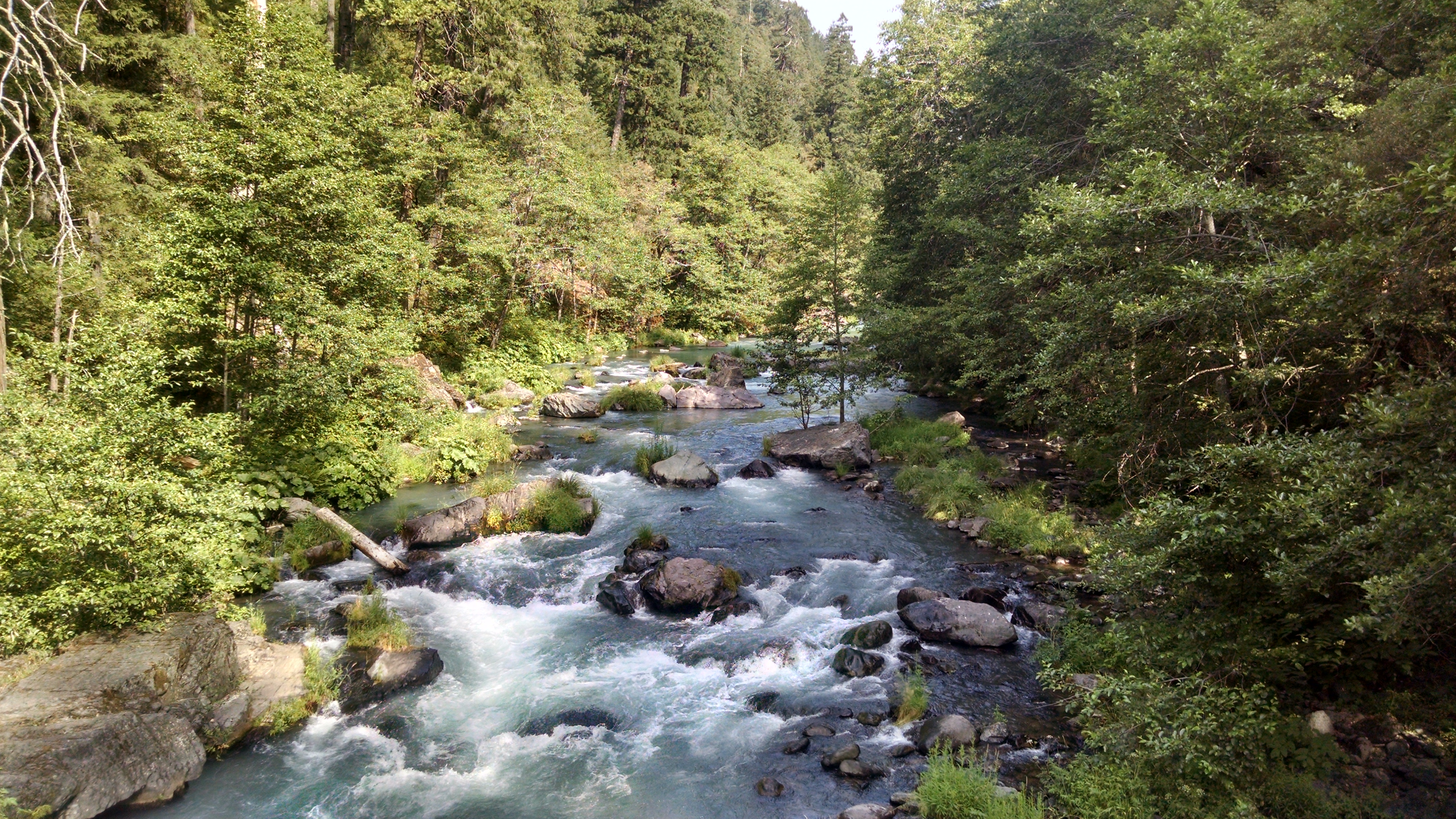
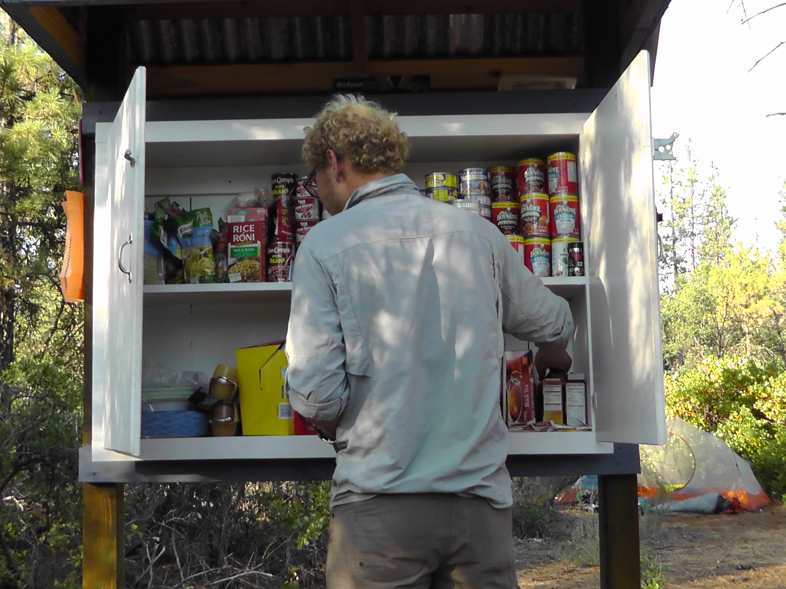
Within a couple of miles I encounter the Wild Bird Cafe trail magic. There is water, food, soda, tables, showers and a USB charging station run off a car battery. It is truly magical. It would be nicer to run into this during the heat of the day. But that is coming – too quickly and with too much force.
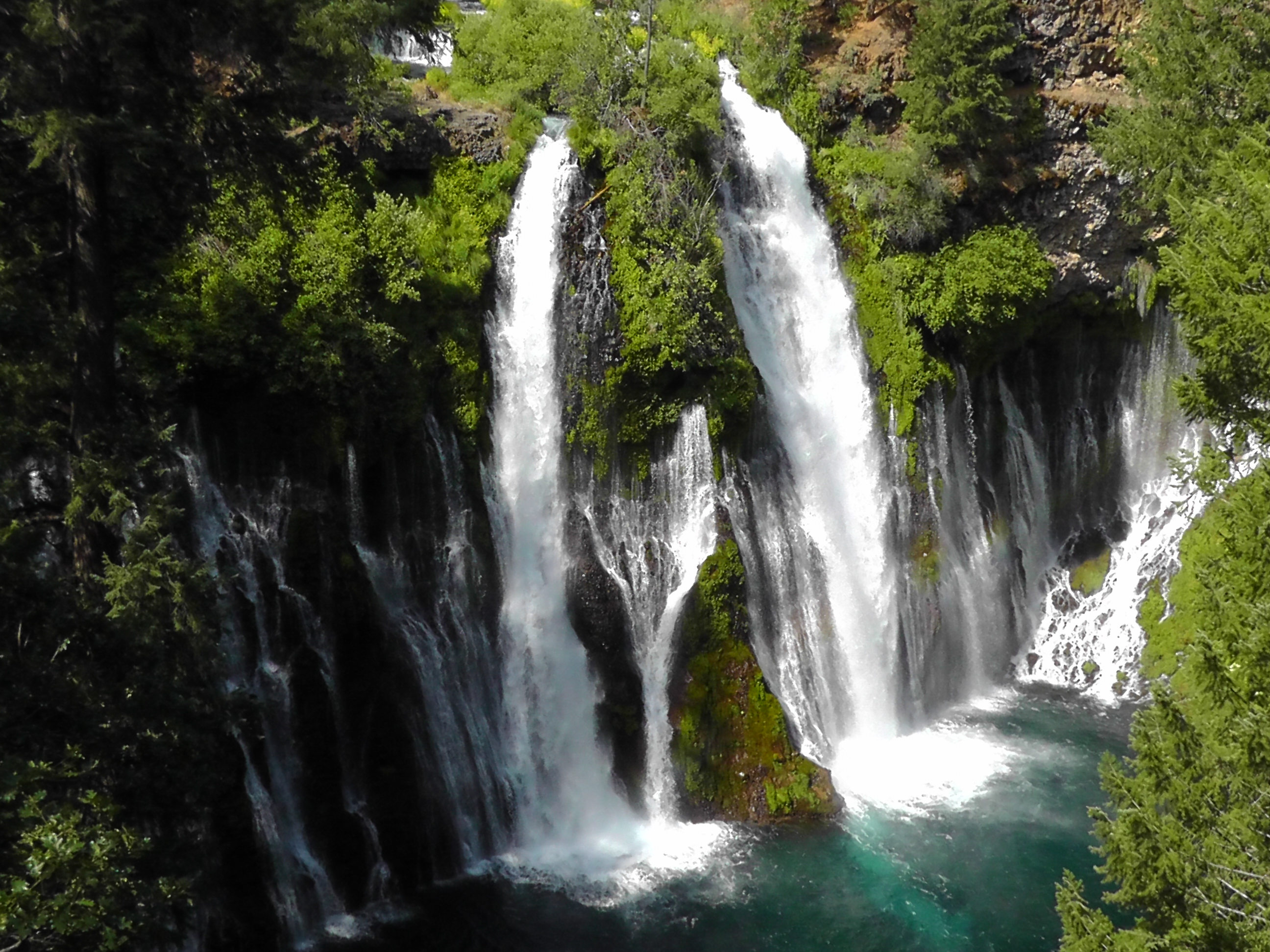
Burney Falls
I hike about 7 more miles to Burney Falls State Park for resupply and to enjoy the waterfall. It is getting hotter by the minute, and weather predictions are not good. 105 today, and as high as 117 by Thursday. Some push on in the heat, but others are switching to a nocturnal strategy. Those of us that do, hide in the shade close enough to the general store to keep purchasing soda and ice cream, and wait for the angry yellow ball in the sky to calm down.
Senior Whiskers and I head out at about 6:00 pm. It is still hot, but it should be slowly cooling down. We hike 5 miles to a creek where I soak my feet, filter water and snack. We hike another 4 miles under headlamp to a supposed creek, but we never find it. We push on until just after midnight and crash by a dirt road and the trickling seasonal creek Peavine. We will wake early to filter water and get a jump on the next days heat. Trying to get in 20 miles a day, avoid the killer heat and find a way to get enough sleep is my new challenge.
Although it seems like a continuation of yesterday, when the clock rolls past midnight it is officially a new day. After a couple of hours of sleep, I pack up, put on my headlamp and iPod Nano, and I start jamming. I have serious miles to do on this 30 mile waterless rim walk. I only have two litres of water and 25 miles left. Since it is going to be close, I figure my best chance is a night hike when it is cooler and I will drink far less.
Hat Creek Rim Cache
When hiking at night I have a very different animal experience. I did not know this but some birds sleep standing on the trail. As I am about to step on one it explodes into flight, but with slightly less force than my heart flying out of my chest. As I round a corner on a Hat Creek Rim cliff face, I find myself face to face with what is no longer a sleeping cow. I fear one of us is being startled off the edge, but based on each of our incontrollable moos, I score it a tie. A small but brave skunk makes three false charges. He lunges straight at me from the trail, shaking his tail and stops. Unsuccessful at moving the beast from his trail, he lunges again closer displaying his tail more prominently and stops. Same results. His last effort is truly voracious, but he suddenly bolts off the trail in retreat. I am pretty sure at that point he was close enough to smell me and realized he had met his match.
After night hiking from midnight to 4am I drop my pack, pull out my sleeping bag and fall instantly asleep by the trail. Whatever revenge is inflicted on me by the bird, the cow and the skunk I do not remember, though as the 5:00-ish sunrise wakes me there is what appears to be marker scribbling on my face.
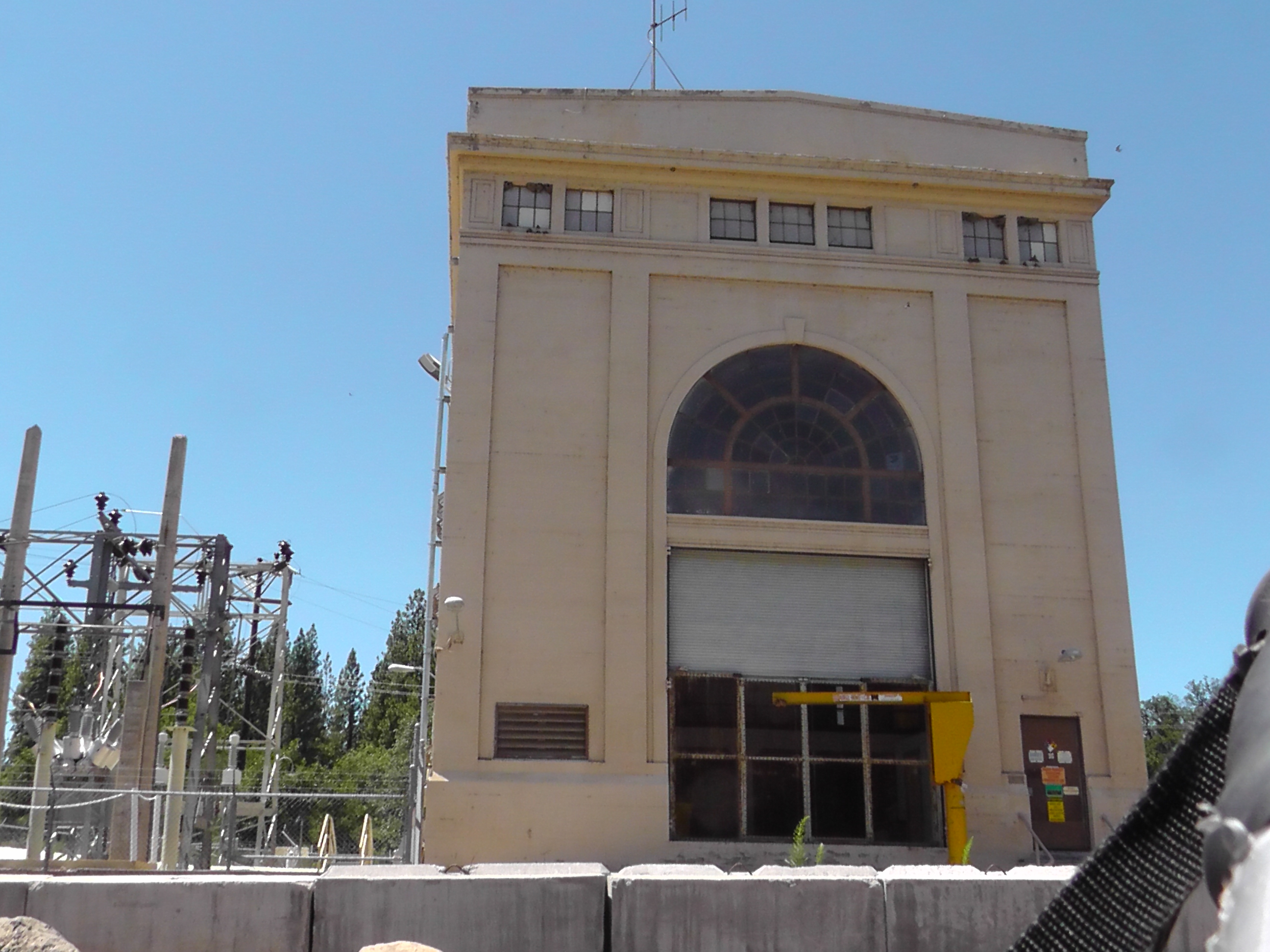
PG&E Power
I continue hiking in the morning light. The time between breaks is getting shorter and the duration longer. I am pretty sure I fall asleep on a couple of them. I have not seen another soul through the entire ordeal. I eventually make it to a Pacific Gas & Electric power station by a river. I filter water, swim and watch fishermen catch rainbow trout. No camping is allowed here, so I hike on another 3 miles and crash on a ridge.
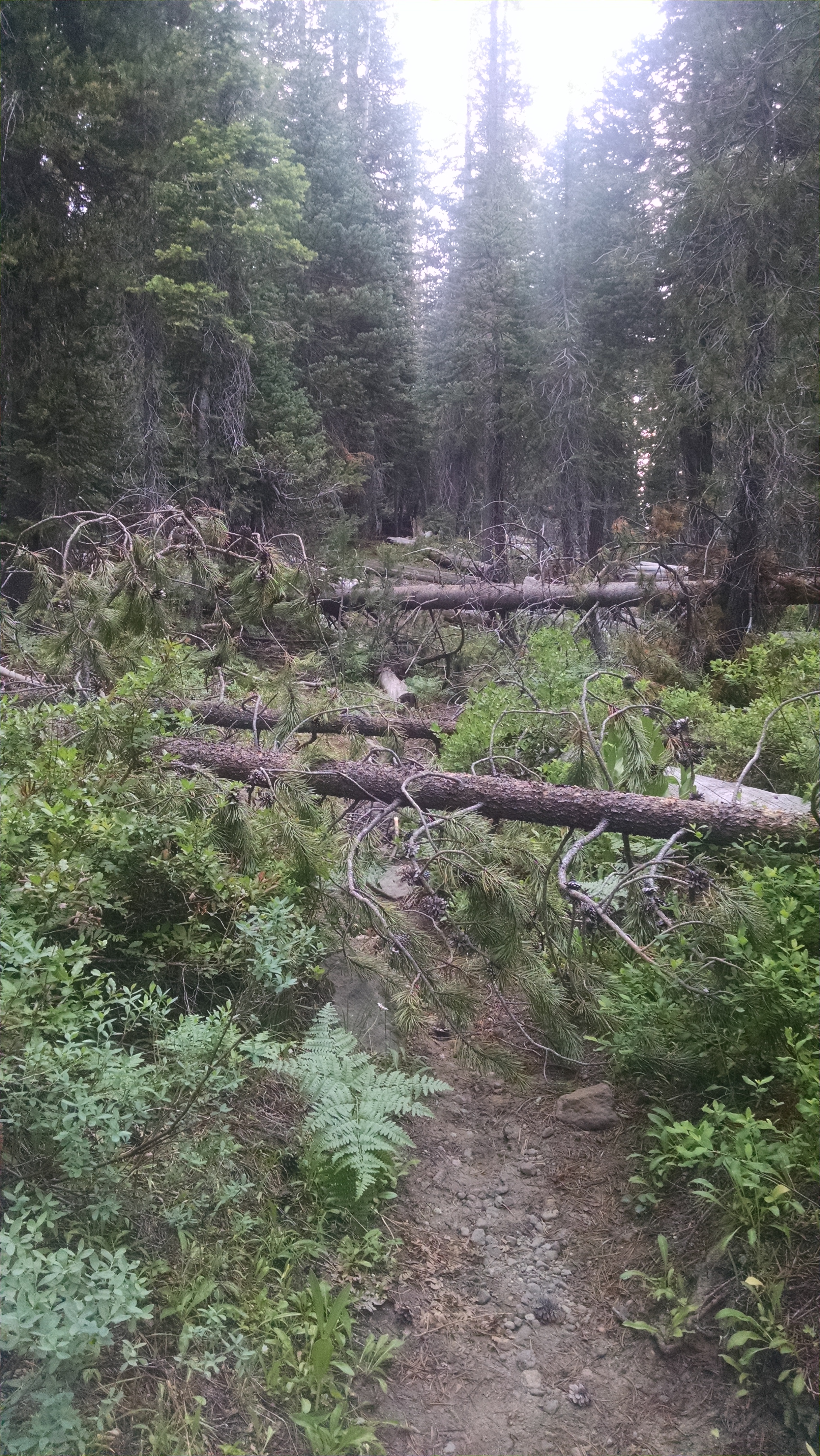
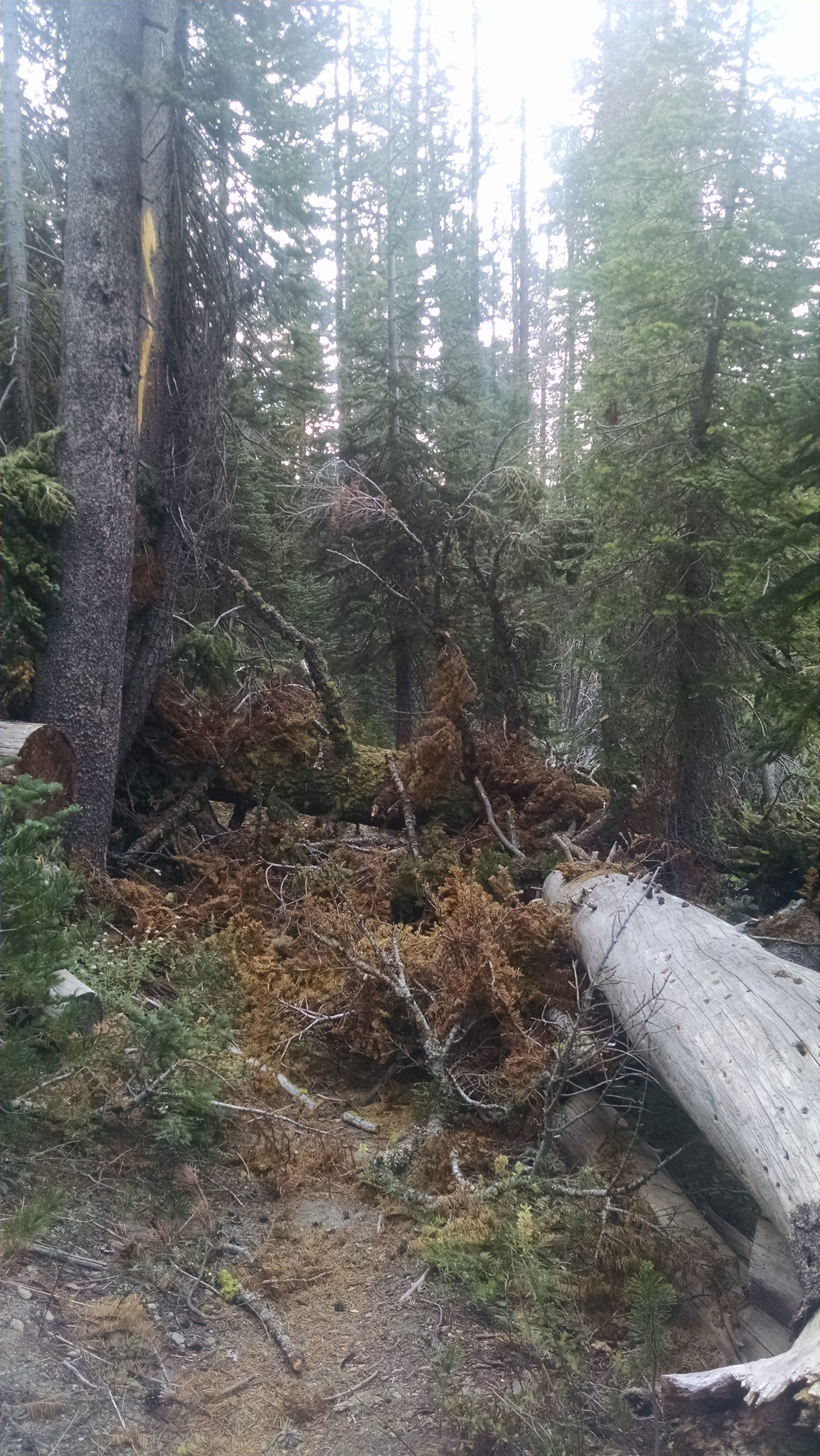
When I was in the Devil’s Post Pile area a bus driver told me that a couple years ago a freak storm knocked down thousands of trees. It took an actual act of congress to approve an exception to use power tools to clear the trail. Apparently this area has a pathetic congressperson, because the number of downed trees is crazy, and they do not appear to be doing anything, powered or otherwise.
I am not sure what caused these tree blow downs, but I am pretty sure the mosquitoes had something to do with it. Every time I am stopped by a jumbled pile of logs and branches where the trail should be, I hear a buzzing which can only be translated as “well while you’re figuring out that puzzle, let me quickly test your blood pressure.”
Obstacle Course
The good thing about mosquitoes is they keep you moving. The terrain is not nearly as tough as the Sierra and although the trees are nice, there is nothing particularly spectacular requiring me to stop. I just keep walking. At the Lassen Lava Tube parking lot I get water and make an early dinner. I am entering a 30 mile waterless stretch. I push up to a camp on a dry ridge, making it a long 29 mile day.
I am fascinated by the idea of a falcon perched on my arm. On command he would soar then swoop, knocking a pigeon from the sky. He would return victorious to re-perch on my arm. But what I really want is a bat hanging under my arm. On command he would soar then swoop, consuming a million mosquitoes near my camp. He would return victorious to cling painfully under my arm. To all you animal trainers looking for new markets, you’re welcome.
After downing a couple of hotel breakfasts and packing up, Terri drives me to the same trailhead we hitched to so long ago. But this time, I get to head north.
It is a shock to jump from freezing on Whitney to baking in the nineties in Chester. Where water in the Sierra was everywhere, now I have to be more careful, consulting the northern California water report.
Even with a late 8:00am trail start, I manage to get in 21 miles. I am not sure if BLT, Klutz and Mountain Goat are ahead or behind. I do not catch them at any rate.
I camp by a stream and enjoy the white noise of the running water. I miss Terri, but it is good to be back on the trail.
I wake thinking of Terri and finally ending this flip-flop. I feel very fortunate to have had such awesome Sierra weather, views and water, but I am frankly tired of explaining how I am heading to Canada by hiking south.
I believe it is technically the Sierra Mountains. It is not the Sierras. It is not the Sierra’s. It is the Sierra. After hiking from one end to the other, up and over all the PCT passes, it is difficult not to think of it as plural. Also, after falling in love with it all over again you might excuse me for being a bit possessive. It is hard to describe the jagged granite escarpments, frosted with snow and sprinkled with enough majestic trees to provide contrast and perspective, but not so many as to block the incredible vistas. In fact, just locate your electronic thesaurus and press and hold the superlative generator button. Whatever it spits out will most likely apply.
Today, however, the air is filled with smoke. There is clearly (or the opposite of clearly) a fire somewhere north of Crab Tree Meadow. But this is a northbounder’s problem and for this one last day I am a southbounder. I must look like a fireman rather than a thru-hiker, because every question I get is about the fire, as if I just walked out of the flames carrying a baby. I don’t have information to provide and I am trying to get to my own flame/baby.
Flip-Flop Over!
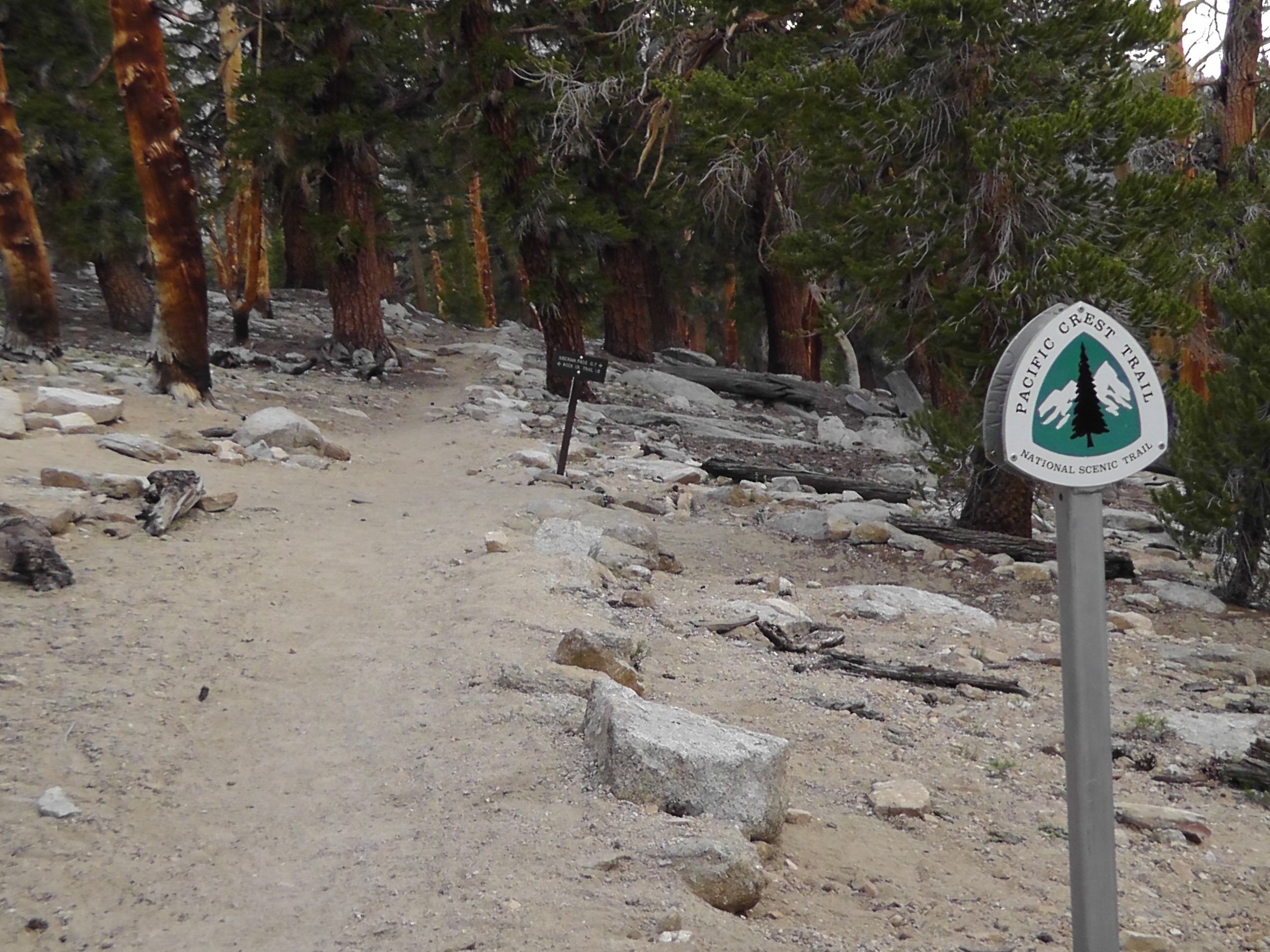
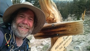
I can hear coyotes saying goodbye, at least that’s what the howling sounds like to me. As I reach the Cottonwood Pass trail split I realize I am officially more than half way done with the PCT. I take a quick selfie at the signpost, and begin my race towards Terri. It is the longest 7 miles of my life.
The last time I went down this trail it was snowing, hailing, sleeting and raining, depending on my elevation. Water was seeping out of every rock and running down the trail. This time it is totally dry. Desert dry. Not even the seasonal streams are running. When I finally see Terri coming part way up the trail I hug her and steal her water bottle at the same time. My bottles have been empty for quite some time. In the car she asks if I would like another water bottle. Oh, please. I drink a chocolate milk, an iced coffee, a mango smoothy and later a Dr. Pepper.
Terri had stayed at a hotel in Lone Pine and arranged for a late check-out. That meant I can shower before the long drive. She also brought clean clothes for me which is great given the hotel only has one washing machine, which is broken. Funny because they aren’t usually broken until after I do a load.
On the drive to Chester we manage to eat several times and resupply food and stove fuel. Terri tries to turn on the radio, but I won’t let her. Maybe she does not want to hear my voice, but I want to hear hers.
Finally we arrive in Chester for a late check-in. I do laundry and trash the place sorting my gear and food. Terri wonders how thru-hikers ever share a room given I have taken over the entire place with just my stuff, which frankly should be very compact and light.
I had set an alarm, but no bother. The four girls camped next door wake me with their headlamps, clanging and loud whispers. Their goal is to leave soon after midnight. I had warned them that would be too early, to which two agreed and two did not. Apparently tie goes to the early climber. Surprisingly there is another group of three already climbing. At least I can see three headlamps zigzagging up into the darkness. After the girls leave I start watching seven headlamps, in my own version of dot watching. Totally awake, I wonder if they all know something about how long this will take. I reluctantly get up and gather my gear. My headlamp is a pathetic little thing which barely lights up my feet. I look over at the half moon which is now setting over the ridge. This may be more exciting than I thought.
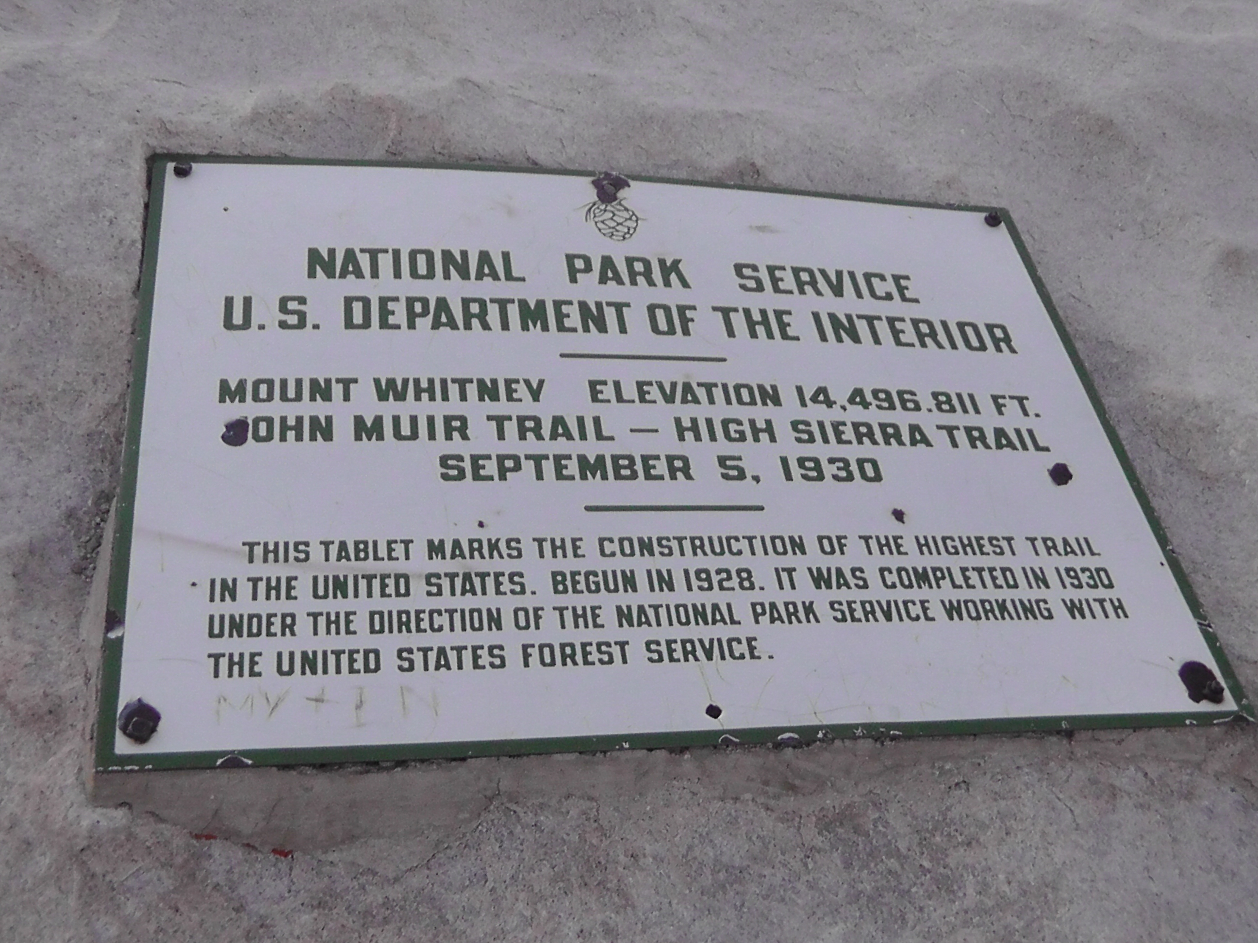
Whitney Plaque
As long as the trail directly at my feet looks like a trail I am fine. But of course occasionally it does not. I lose the trail several times and have to backtrack to find it. A few times this requires my smartphone GPS and Guthook’s PCT map application. It is now so dark that there is no horizon or ridge. The seven dots above me are indistinguishable from the stars. It is very disorienting. There are several scrambles and ledges that Brian would probably describe as “sketchy”, but I simply cry out to myself “You have got to be kidding”. I end up passing the girls, but never catch the first group.
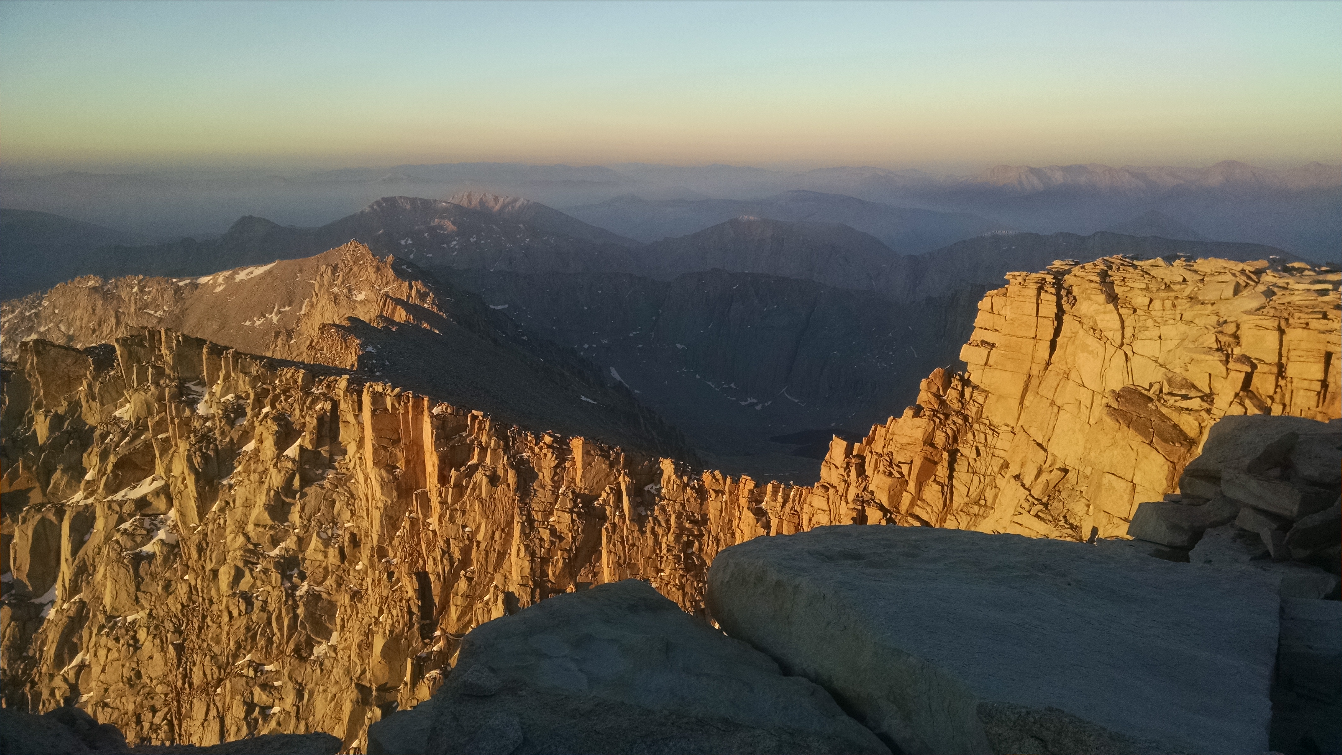
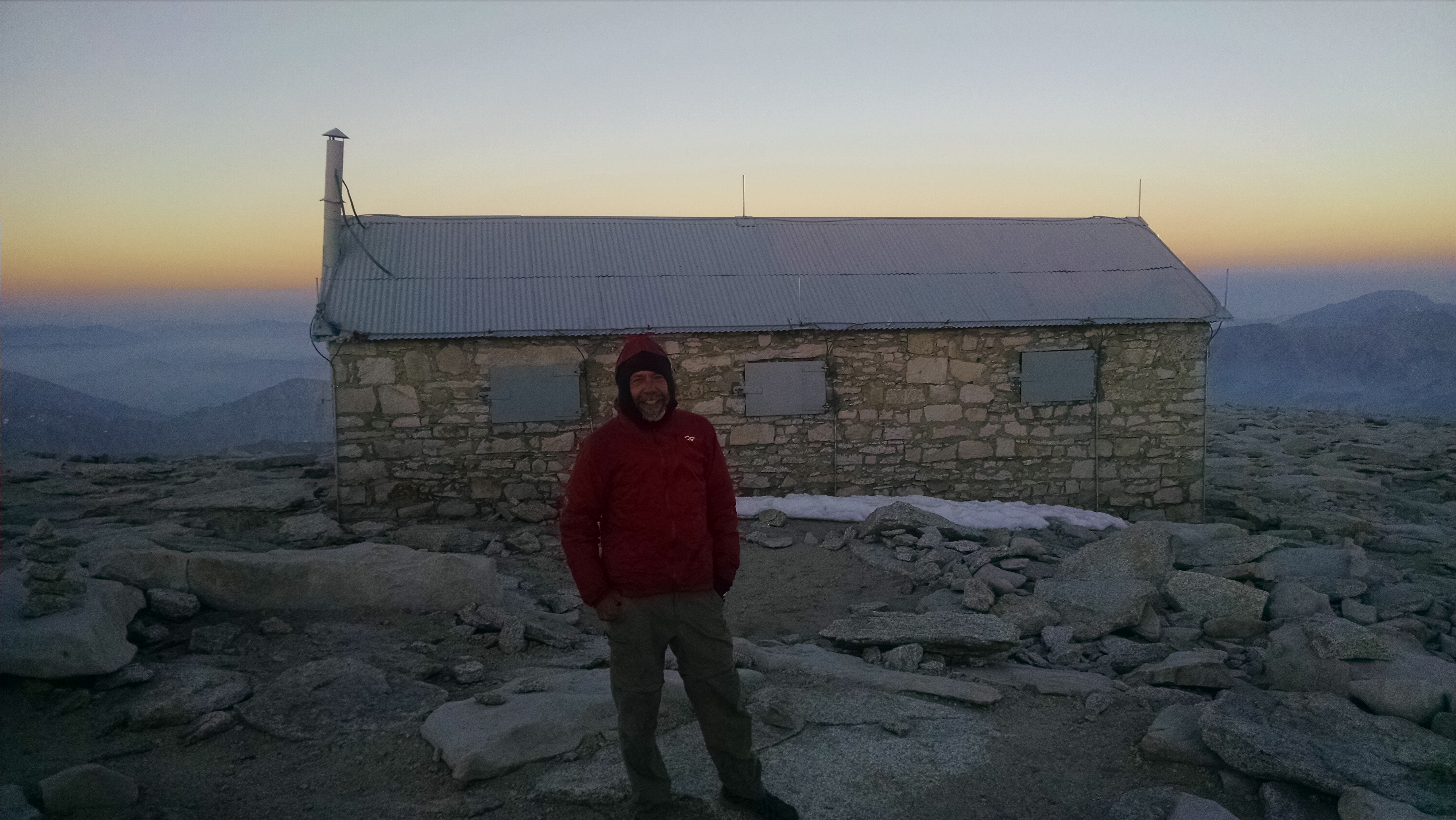
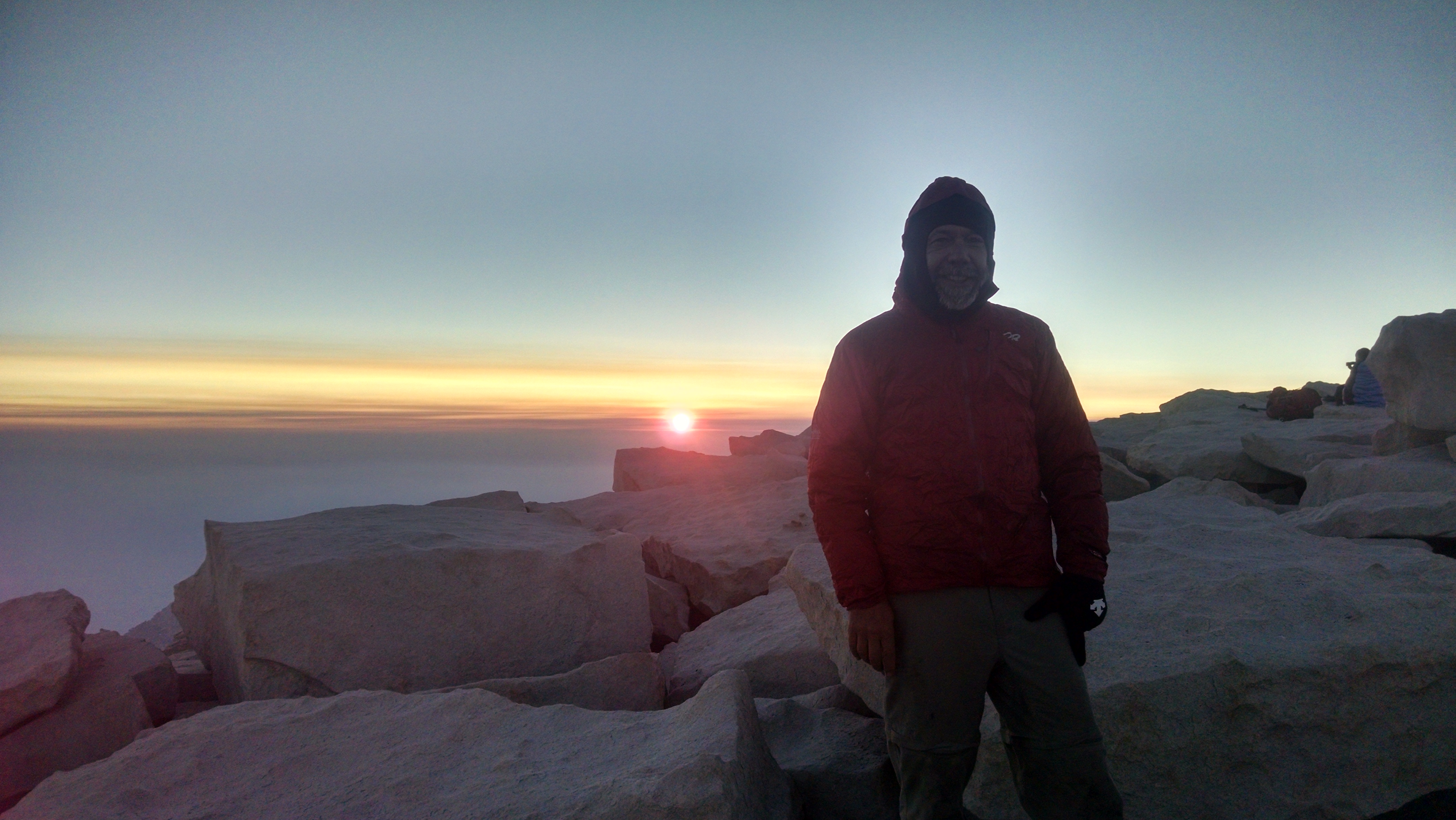
At the top I feel totally vindicated. It is way too early for sunrise, and we are all now freezing in our sleeping bags, in a top of Mount Whitney slumber party. A woman in the shelter comes out saying her friend has altitude sickness and is throwing up all over the place. She asks if we have any anti-altitude sickness medicine. I offer the same advice as on Forester Pass, go down in elevation.
Whitney Hut
After watching the sunrise, eating snacks and taking pictures, I go back down. On the way I see Loran coming up. He is happy and carefree, but surprised to see me. He has been taking his sweet time in the Sierra range of light – swimming, relaxing and figuring we are all long gone.
Whitney conquered, my only goal now is to get into a good position to see Terri tomorrow. I am exhausted from lack of sleep, but I keep pushing. Several times I stop at streams to soak my feet or have a snack, only to fall asleep. I think of them as power naps, but in reality they are lack of power naps. I finally stop and camp about five miles from the Cottonwood Pass trail split.
Today is an awkward day. I am only 16 miles from the top of Whitney, but I don’t really want to summit at the end of the day. Besides, I will have to come back down and the most logical camp is Guitar Lake which would make a 21 mile day. Loosely paraphrasing Churchill – today that is something up with which I will not put. I decide to shoot for a sunrise summit, which means staging at Guitar Lake and starting my climb under headlamp at around 2:00am. It’s a fine plan, but leaves me with only an 11 mile day today.
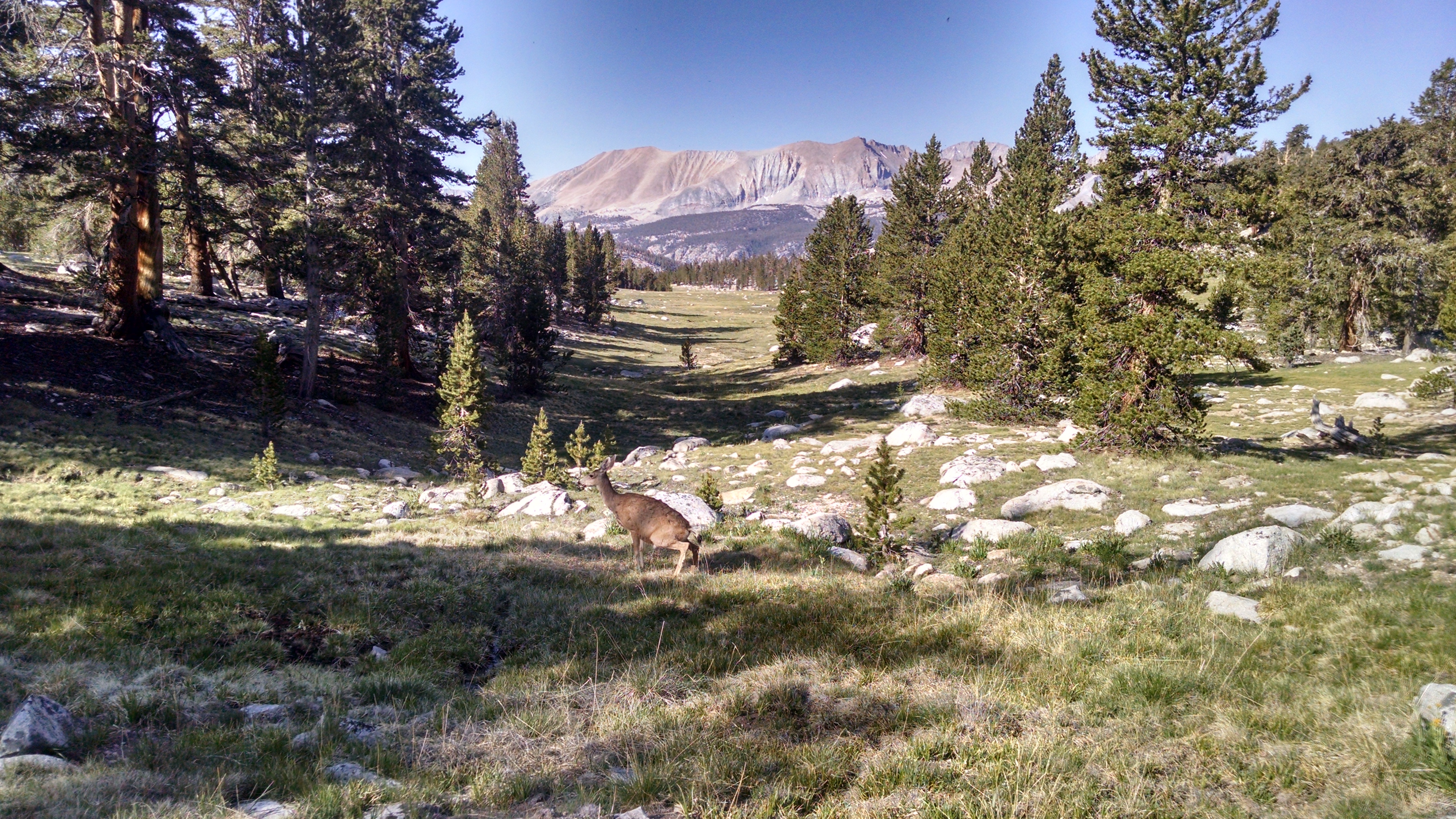
I decide to take it easy. Moving fast you sometimes miss things. Today I will really look around, check out the animals, and what the heck, look for a bear. I stop to watch a baby marmot. He lets me get too close, so his mom whistles so loud the little guy almost jumps out of his fur. When I stop moving, the deer come much closer. One seems almost irritated at my still presence, but instead of running she looks at me and defecates. This may be a typical deer reaction or just a more general female reaction to my thru-hiker smell.
Defecating Deer
I am not sure what the natural selection advantage is for the log to look like a bear, but there clearly must be one. Looking for a bear I see hundreds of these log-bears. The resemblance in shape and color is uncanny. I suppose it is also possible that bears have evolved to look like these logs.
Even at my slow pace I eventually reach Guitar Lake. There are others here staging for a sunrise summit. It may be an early stream of commuter headlamps up the five mile hump. The only debate seems to be what time to start to see a spectacular sunrise, but not be at 14,505 feet too early and freeze to death in the dark. The JMTers are ending their trip, so will be carrying their full packs. I have to return to the PCT, so I can leave back at my Guitar Lake camp the things I do not need, such as tent, bear can, most of my food, etc. The only tricky part is that my tent uses my trekking poles, so if I take them up Whitney I will be leaving a staked pile rather than an apparent tent.
I wake way too early for the 7:00 am breakfast promised by Strider. The 5:00 am habit is surprisingly hard to break. I take another shower even though after yesterday’s I am cleaner than I have been for a week. Taking another one at least helps bring the weekly average up. At 7:00 all the guests gather for a breakfast of coffee, eggs, bacon and English muffins. I pile on as many blobs of butter as I can balance on a muffin. I won’t say exactly how many, just know that Cirque Du Soleil got nothing on me. My circus pants are falling off so I need all the butter fat I can get. It would be politically incorrect and wrong to compare my body to someone from a concentration camp. Let me just point out that I am camping and I have been thinking really really hard about my shrinking weight.
Toward Forester Pass
Strider then drove the three of us going back to the trail today up the 13 windy miles. She told us about the Sierra Big Horn sheep rescue program she is active with. She raises money by helping hikers with resupply packages and helps the science teams to capture, tag, radio collar and relocate.
When I reach the first lake I am surprised and happy to see the family that gave me a hitch to Independence. The girls wave enthusiastically, which is awesome. I hike back over Kearsarge Pass. It is not quite as bad as I had feared, but is still a lot of up. Once over the pass I take the alternate lower trail that goes along the shore of Bull Frog Lake.
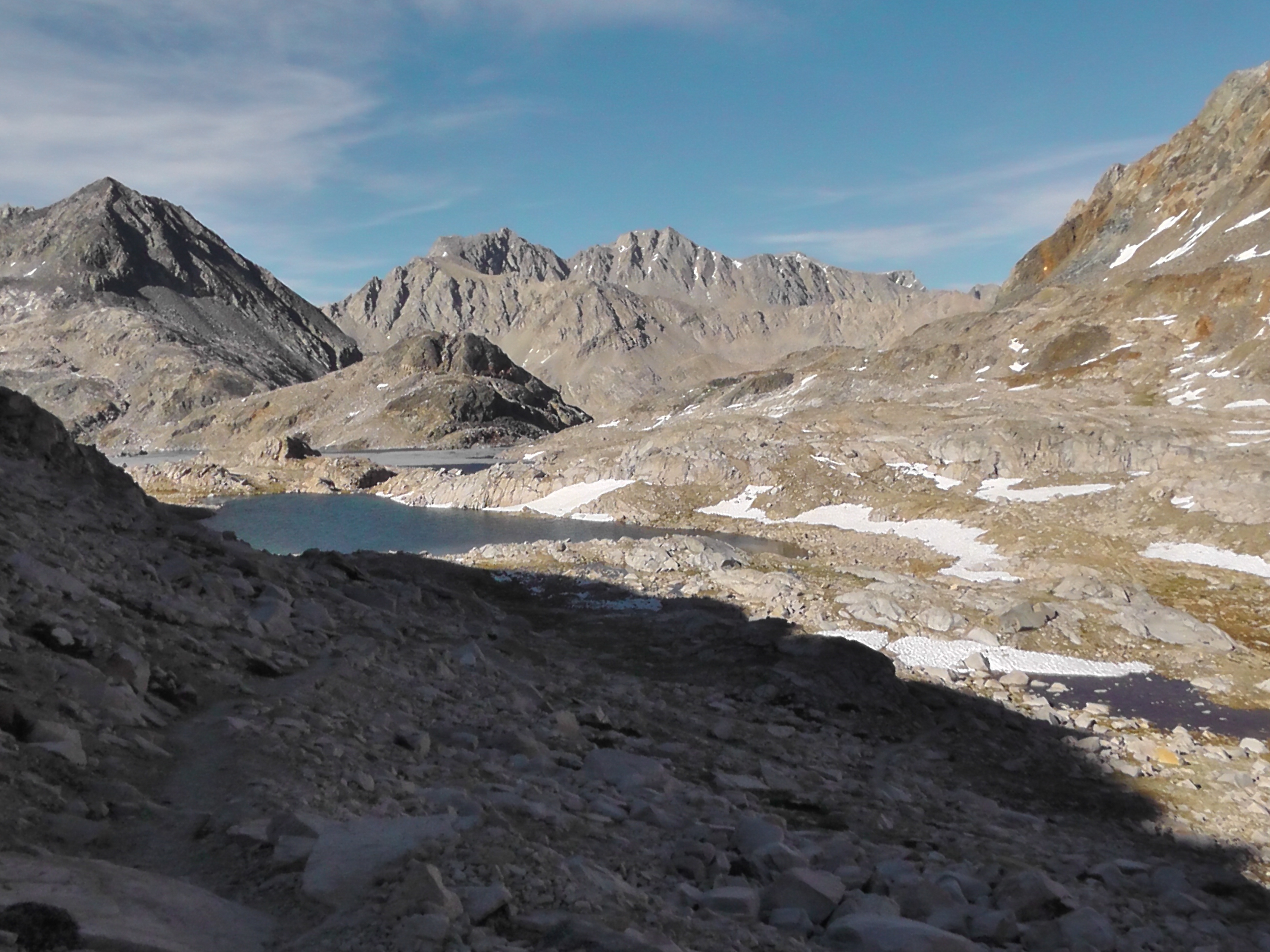
From Forester Pass
Once back on the PCT I aim for Forester Pass. It feels a teensy bit like a nemesis, since this is the blizzardy whited-out pass that sent us on our flip-flop to Chester. On the way up this 13,098 foot pass I meet a group struggling. Several are showing early signs of altitude sickness. One dropped back to lower elevation (smart), but some were still going up (not smart). Their non-affected buddies are now carrying two packs. I advise going down, but they insist they are fine as long as they go slow.
I finally get over the top of this final Sierra pass. All I have left is the Whitney side trip and to exit at Cottonwood. I push on to a decent tent sight with water which makes this a 22 mile day, only 15 of which count as PCT miles.
Standing on Forester PassLooking Back to Forester Pass
DC has mentioned several times how absolutely beautiful Kearsarge Pass is. He also claims it is not a difficult pass because you are already starting at such high elevation. I probably could skip it and push on to Forester Pass, the highest point in the entire PCT, but my food is getting thin and I really want to summit Whitney. Whitney is a side trip which requires an extra day of food.
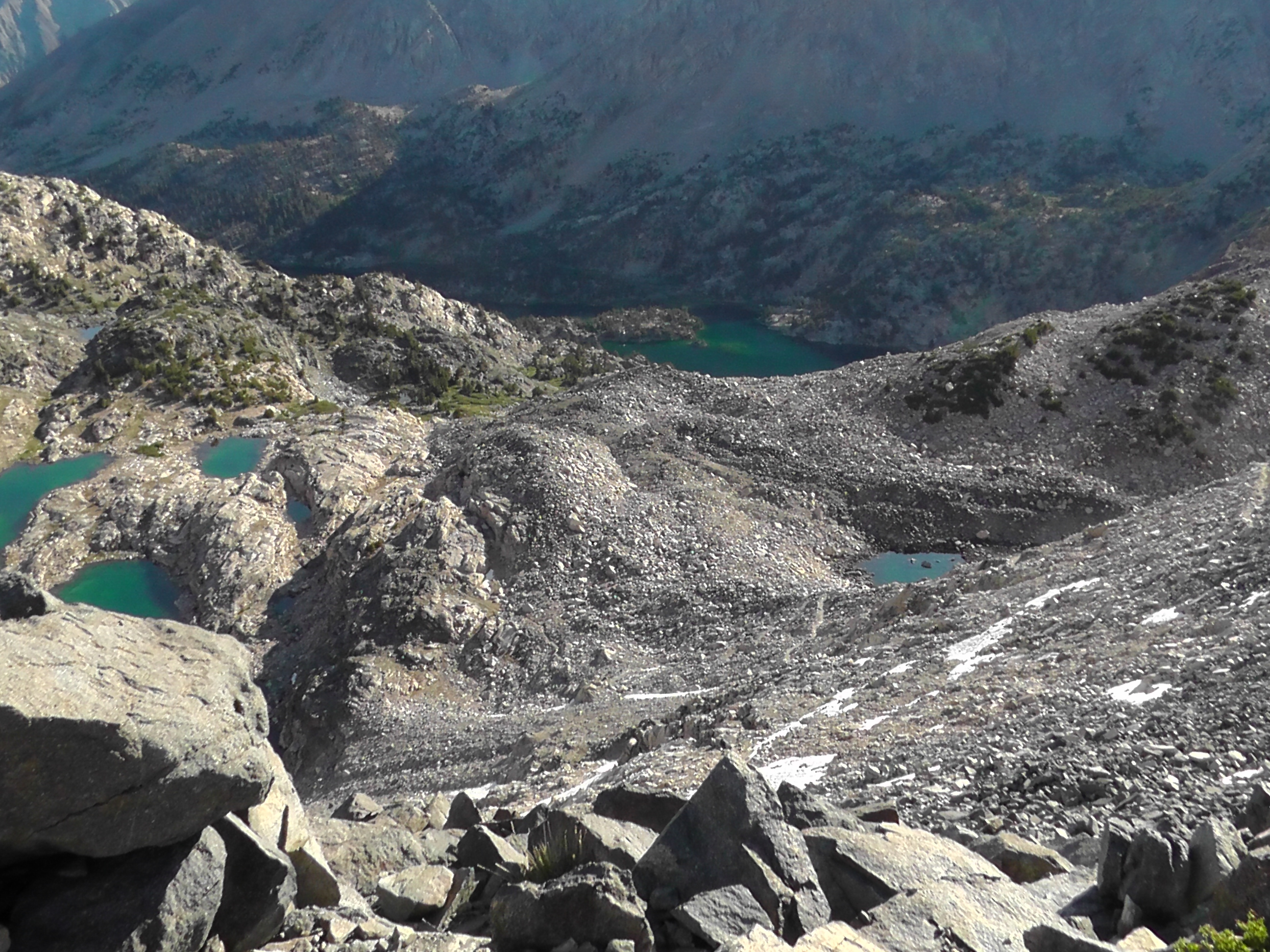
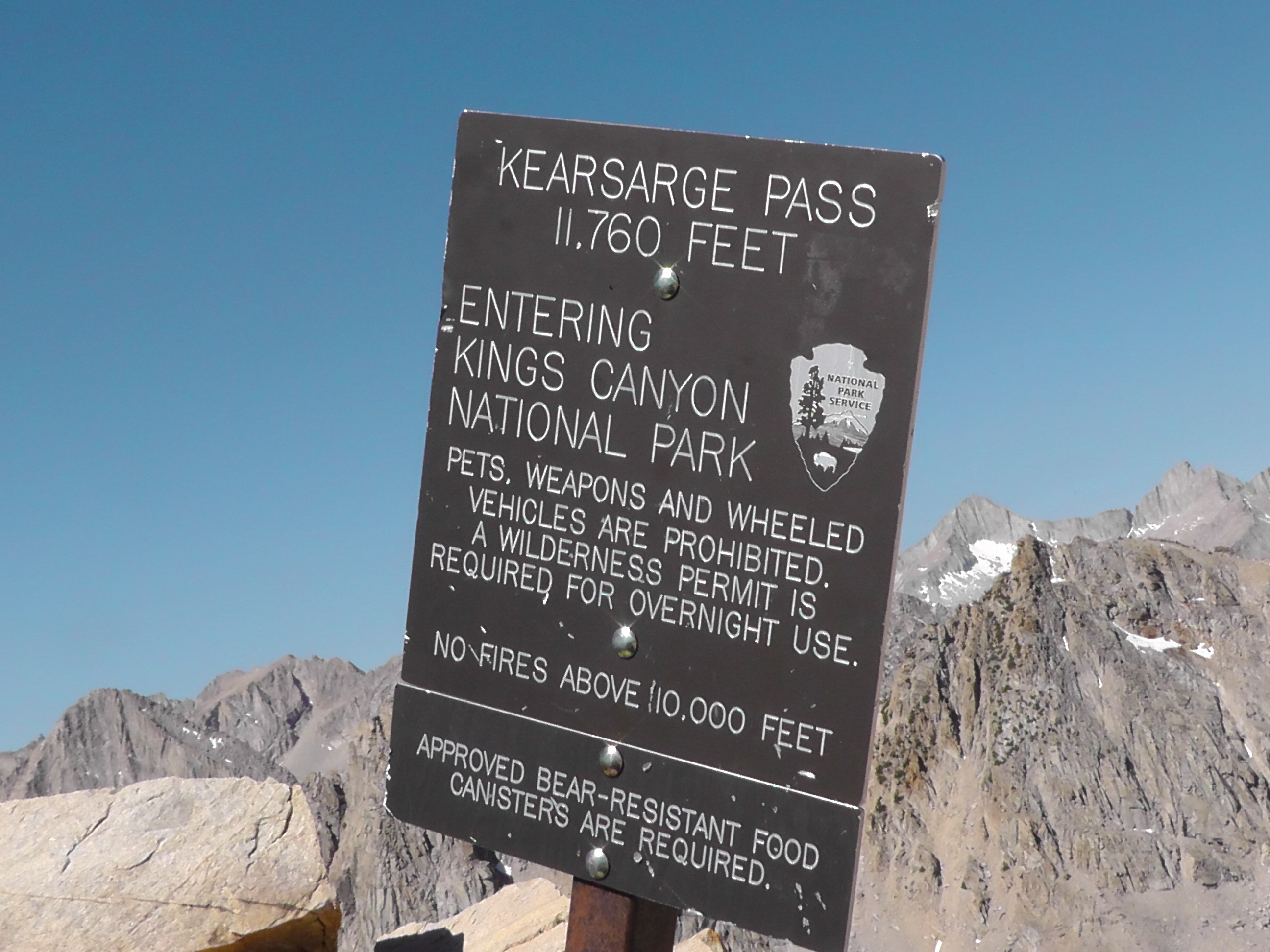
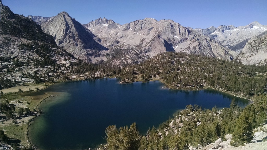
I get an early start and climb Glen Pass while it is still cool. The top of Glen Pass is like a razor’s edge, and I am so grateful not to be doing it in a whiteout blizzard. Kearsarge Pass is pretty easy from the west and the view of Bull Frog Lake backdropped by jagged peaks is as DC promised, quite stunning. Once over Kearsarge the drop to Onion Valley is a bit concerning, only because I know I have to go right back up it tomorrow. At the campground I have to hitch the rest of the way down to highway 395 and the grocery-less town of Independence.
Kearsarge Pass
One of the reasons I love backpacking is I feel so independent. Everything I need I am carrying myself. Those that know me well, know that I prefer not to have to depend on others. I usually want to do it my way and pay my own way. That is not to say that I have not benefited from the gracious giving of others. I have and I am truly grateful. It is just that usually those moments are part of an ongoing and at least somewhat reciprocal relationship.
On the trail I am having to learn to live in dependence of others. Acts of kindness, such as my 15 mile ride with a southern California family to Independence, are not reciprocal. I have nothing to offer other than my smell, my self-centered stories of trail life and my humble thanks. I understand the concept of pay it forward and hope I will honor that spirit. But for now I have to get comfortable living in dependence, something still way, way outside my comfort zone.
In town I find a gas station and binge on chocolate milk and Fritos, which I pay for thank you very much. I check out the local accommodation options. I pass on the hostel like bunkhouse and spring for a small private bungalow at the Mount Williamson Motel, run by a woman whose trail name is Strider. There is no laundry in town, so I hand wash the worst of my things in the stink, I mean sink. A taco truck provides me a long lost from my menu carnitas burrito.
Tomorrow will be a long day just to get back to where I was yesterday.
When I wake the mosquitoes are gone so I can finally do my duty. Perhaps they are attending a union safety meeting – “Remember, the hands and face are the most dangerous. Target the ankles or the back of the neck.” Or perhaps they are preparing for hike naked day, which has got to be better than Christmas.
As I pass streams of hikers on my way towards Pinchot Pass, at 12,104 feet of elevation, hike naked day is a complete bust. And by that I do not mean bare breasted. It is possible that my fantasy switch is flipped the wrong way and I am passing naked hikers that I imagine are fully clothed. But I doubt it.
From Pinchot Pass
On the way down the other side I finally encounter a couple in the buff. They are laughing and giggling awkwardly enough that I imagine they are real. Later in the day I encountered another naked male hiker. Although my sample size is small, it seems the men willing to hike naked are particularly well endowed.
After a very long down, I begin the long up towards Glen Pass. Just shy is Rae Lakes, which I had been told I should try to camp at if possible. When I arrive acrobatic trout are jumping out of the water to catch bugs in the air. It is quite fun to watch, so I stay.
In order to bag another pass I face a long Sierra day. At least 21 miles to get to a campsite on the other side. It is a long yet beautiful slug up the 12,047 foot Mather Pass. The marmots at high elevation are like big fat house cats. They chase each other, but not too fast. When startled they hide behind a rock and peek out like a cat hides behind a piece of furniture when someone new shows up. You just want to scoop them up, cuddle them and scratch them under their chins.
Bay to Breakers is a semi-serious race/parade/party in San Francisco. People dress up in wild costumes. Some appear in nothing more than running shoes and green hats. One group I love dresses up as salmon and runs the race upstream, against the normal flow of traffic. The last few days I have been feeling like those salmon.
On way to Mather Pass
I have officially found the PCT herd. I am heading south against the flow. When flowing with the traffic you only see an occasional PCTer. But now I am knocked off the trail by one every few minutes. I also realize I have become a PCTest. They all look alike to me. They sport trail runners, dirty girl gaiters, shorts, quick dry shirts, floppy hats, bright colored sun glasses, tiny packs with Zrest pads strapped on and oh yes they are rocking a ZZ Top beard. The only difference with the ladies is they are more likely to wear a skirt and their beards are not as full. Watching them one after another, they no longer seem real. They seem like criminal artist renditions of what a thru-hiker is purported to look like.
In this section of trail the PCT and John Muir Trail (JMT) overlap. PCTers tend to go north. Most JMTers go south. Heading south I am often mistaken for a JMTer. You can sense an arrogance and pecking order from the PCTers. Day hikers are the lowest. Section hikers are slightly more respected. JMTers are more legit than section hikers, but really just PCT wannabes. Occasionally someone picks up some kind of vibe, or smell and says “Are you a PCTer? But you’re going south?” At times I am embarrassed to be associated with the snobs, so I pretend to be a JMTer.
The campsite I had targeted is packed with tents. I decide to go further, but the stream crossing is blocked by a naked woman. I return awkwardly to some other women to wait out the bathing. One woman mentions tomorrow is hike naked day, so she guesses this is just an early freebie. For those that don’t know, there is a thru-hiker tradition to hike naked on the Summer Solstice. When my sister first heard of it she offered to be a trail angel providing sun screen, but only the spray on kind. Luckily for everyone I am not one for this type of tradition. Other freer spirits however may make for an interesting tomorrow.
I eventually find a private site. Settled into my tent, I really need to go to the bathroom, but the cloud of mosquitoes convinces me to hold on until morning.
I wake to realize I still have no new subjects in my land. I also however have no mosquitoes, which allows me to squat on my throne for the morning constitution without being eaten alive. It is possible they are tired of left overs. Given the ravaging their relatives have given me, there is not a spot on my body which could be called fresh meat. Where they have gone I am not sure, but I can imagine.
OK, what did you get?
A+.
Me too, A+.
Same here, everywhere I drill, it is A+.
This is terrible.
Isn’t A+ good?
This is not your inflated elementary school English grade. A+ is terrible. We want O-, the universal donor.
So positive is bad and negative is good?
Of course, we are mosquitoes.
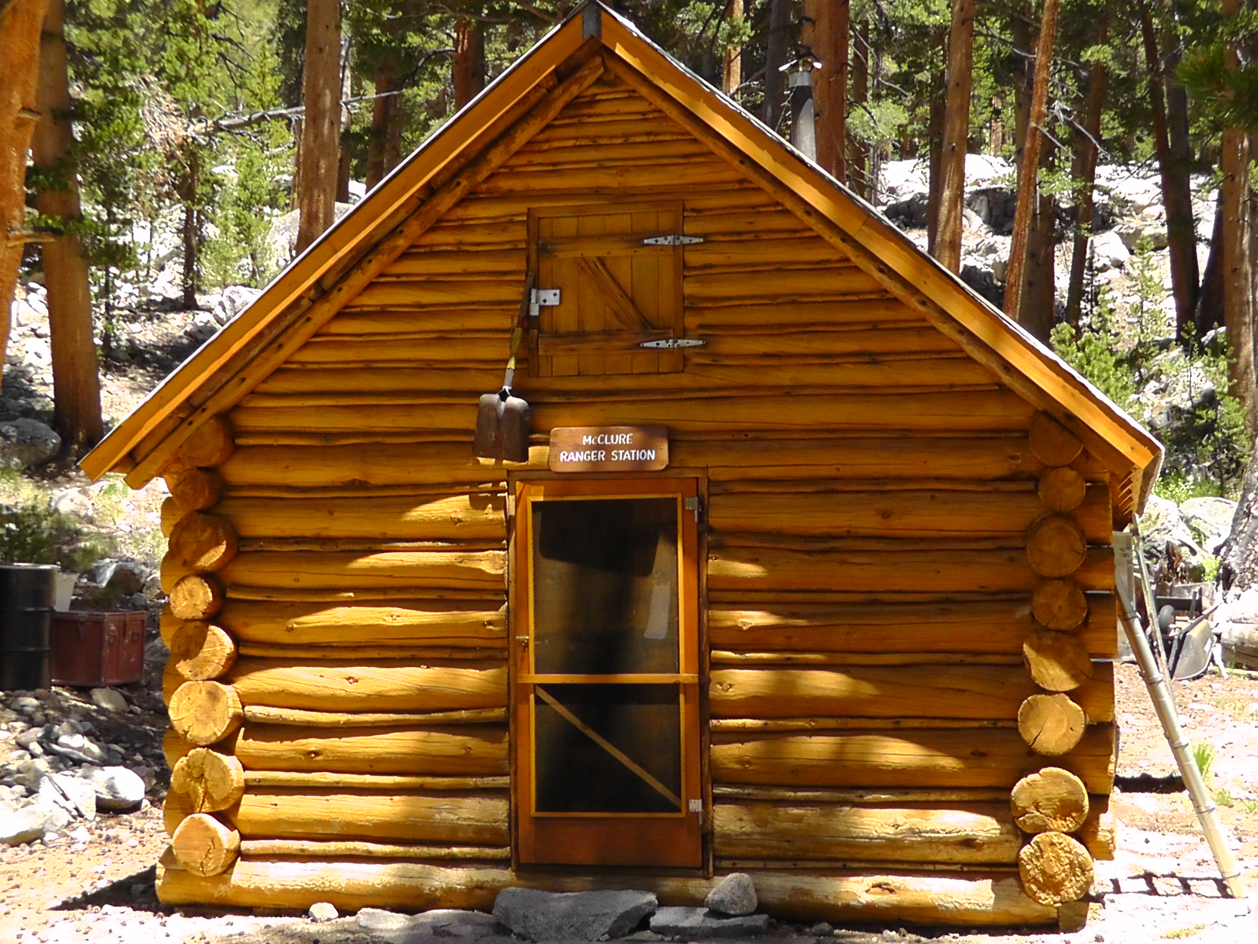
McClure Ranger Station
After a long hike down, I pass the Muir Rock, and enter the Evolution Valley. The Evolution Creek crossing is famous for its treacherousness. I realize I never have pictures of the wild ones, because I put all my electronics is plastic bags and dry sacks in case I fall.
I stop at the McClure backcountry Ranger Station. The ranger seems less than happy because a bunch of dignitaries are riding in on horses tomorrow, then the next day riding up to Muir Hut for some anniversary celebration. He tells me the snow on the pass is pretty much gone.
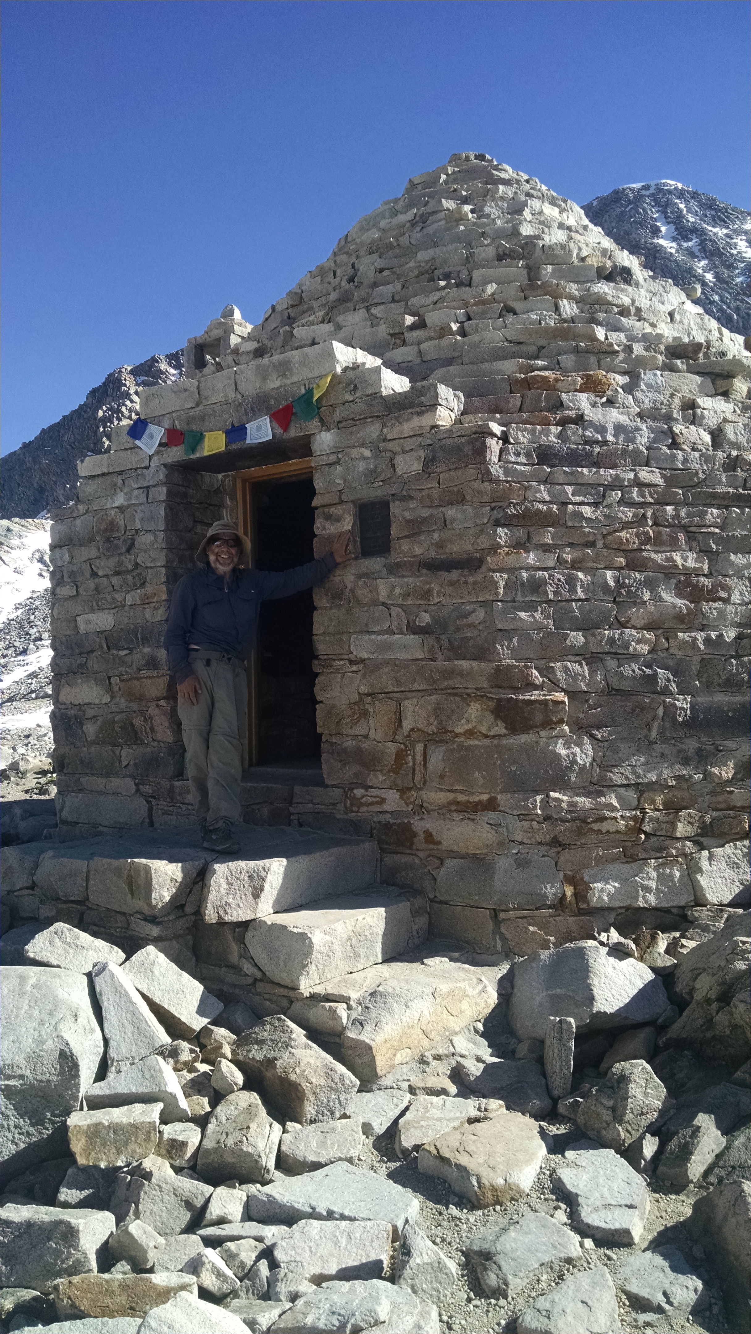
Muir Hut
Unless I push extra hard today I will not bag a single pass, which doesn’t seem right. I set my sights on the first campsite after Muir Pass, which makes for an over 27 mile day. I believe that is a marathon carrying a pack over a 11,978 foot pass. On the way I pass beautiful lakes on both sides of the pass and take a few quick pictures of Muir hut.
Down at the campsite I discover where all the mosquitoes have gone. The drilling begins again as I filter water. I dive into my tent to hide.
The mosquitoes are particularly bad. I packed up quickly, then confirm plans with BLT. There is a campsite at Marie Lake in about 21 miles, just shy of Selden Pass. He points out that if we push we can go over the pass and camp on the other side. When BLT mentions two distances, he almost always does the furthest. He is still eating. I am usually slower than the youngster, so I start out confident he will eventually catch me.
I first have to get over Silver Pass, at 10,781 feet. On the way I enjoy views of Chief Lake and Warrior Lake. Just beyond the saddle is aptly named Silver Pass Lake. The lakes and streams are plump with plump trout, made so by the clouds of protein filled mosquitoes, who make stopping to admire the plump trout impossible.
Silver Pass
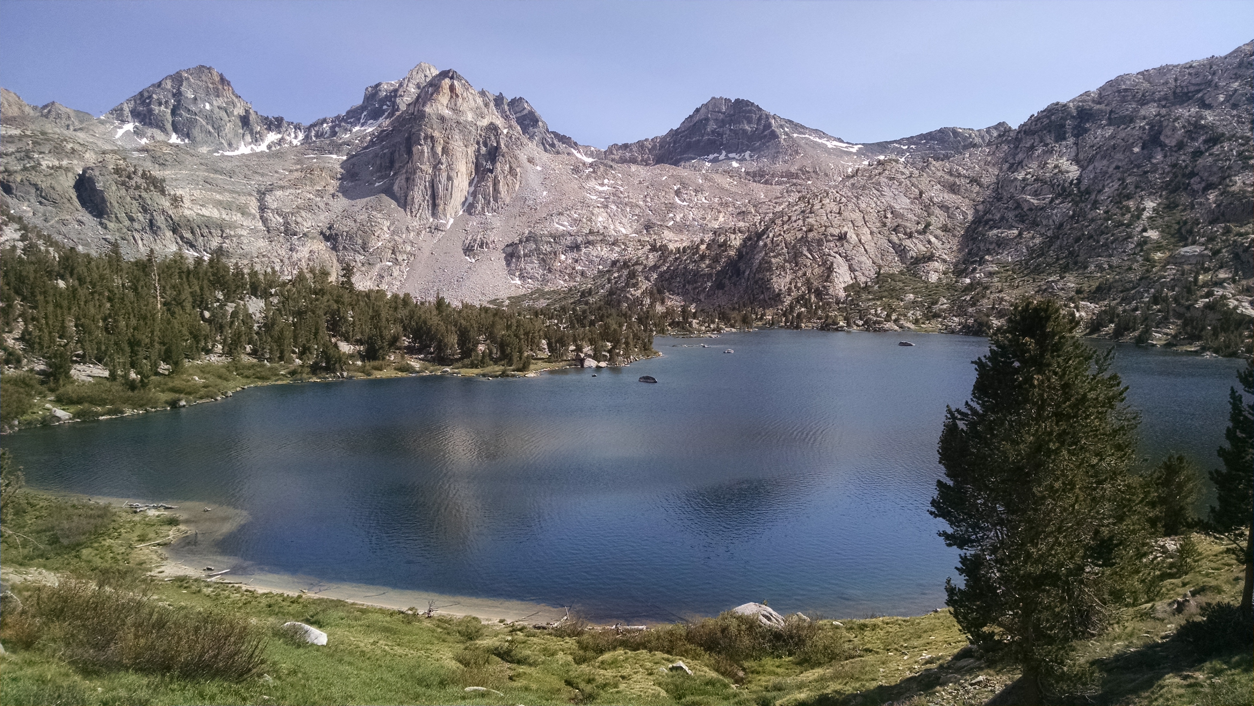
I reach Marie Lake and there is still no sign of BLT. If I stop for any length of time, I will have to setup my tent to hide from the mosquitoes. I imagine the second I do, BLT will round the corner and want to push over Selden Pass. So I keep walking, up and over Selden Pass at 10,877. I pass Hart Lake and Sallie Keyes Lakes, all boiling with trout.
I eventually set my sights on a campsite advertised as big enough for 10 tents. I figure I will at least camp with someone, if not BLT. When I arrive the site is huge, but no one is here. I setup, eat and lord over my new found land, just not my people.