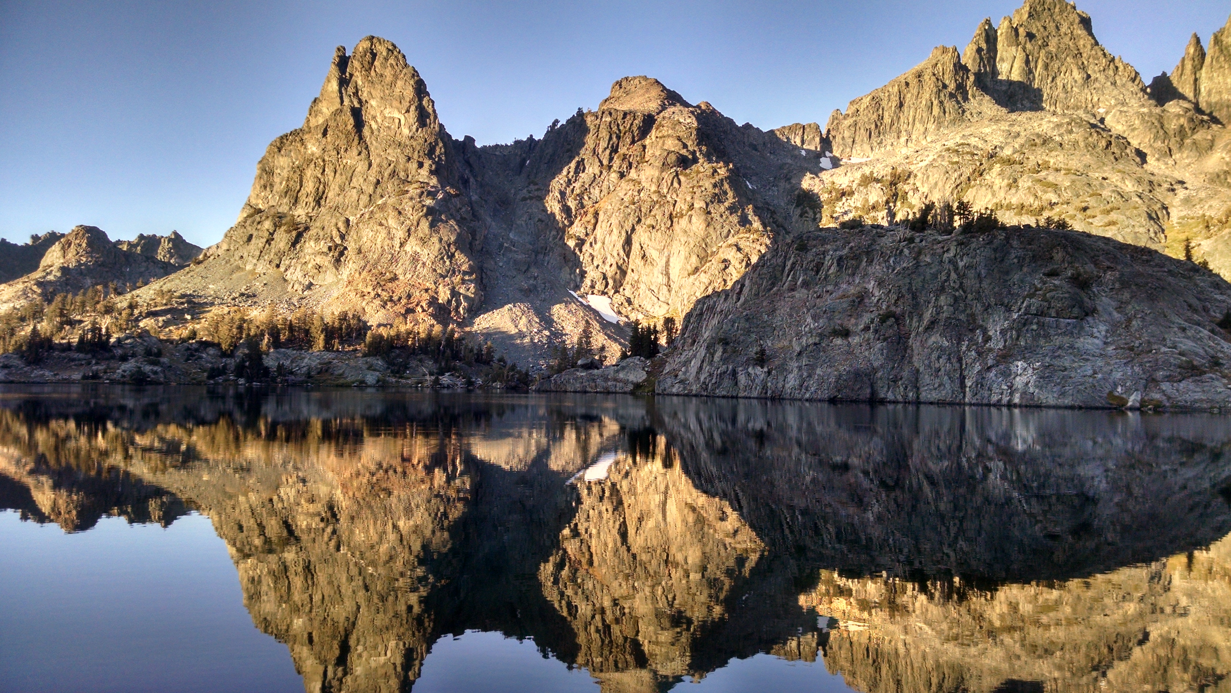
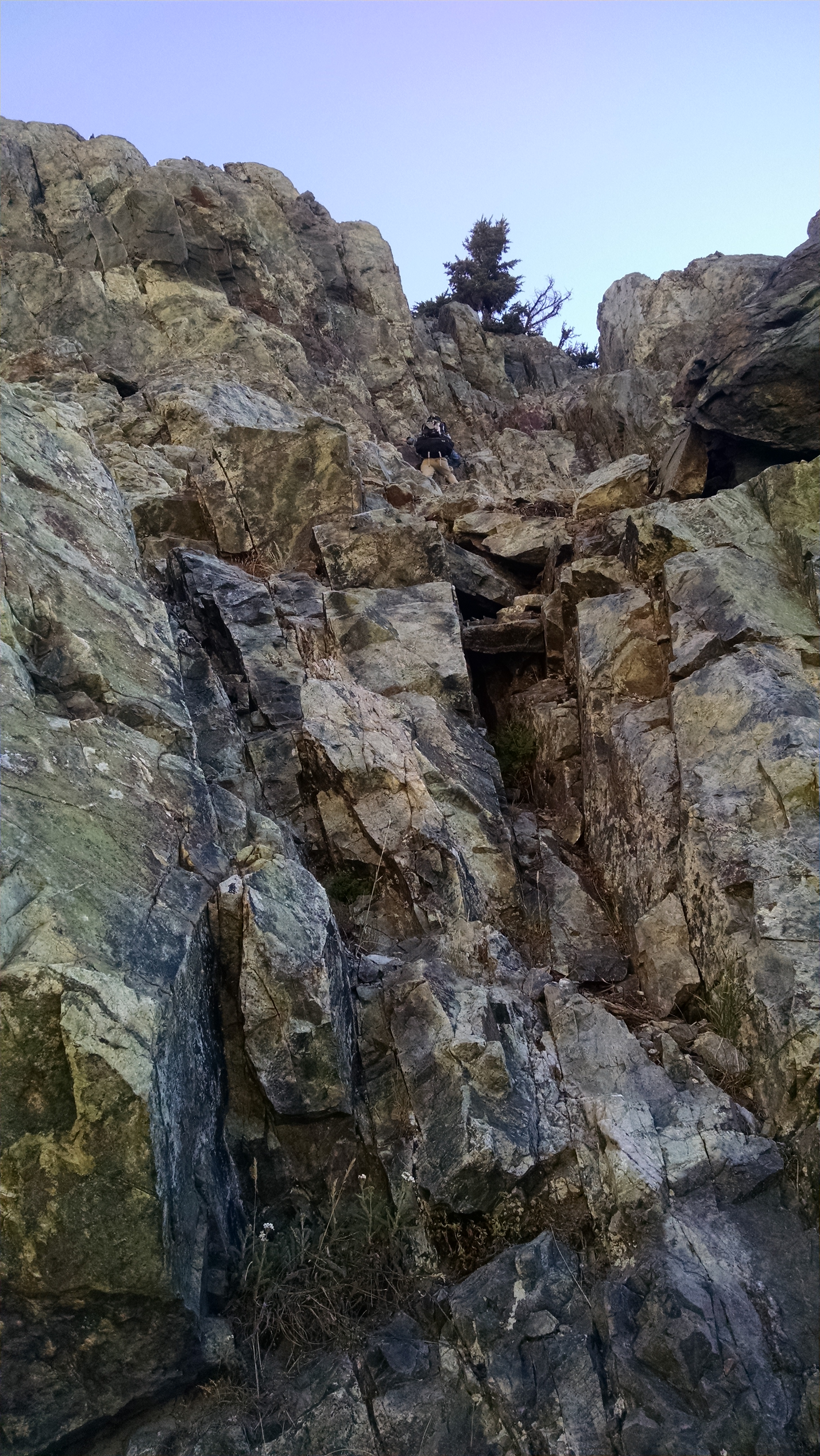
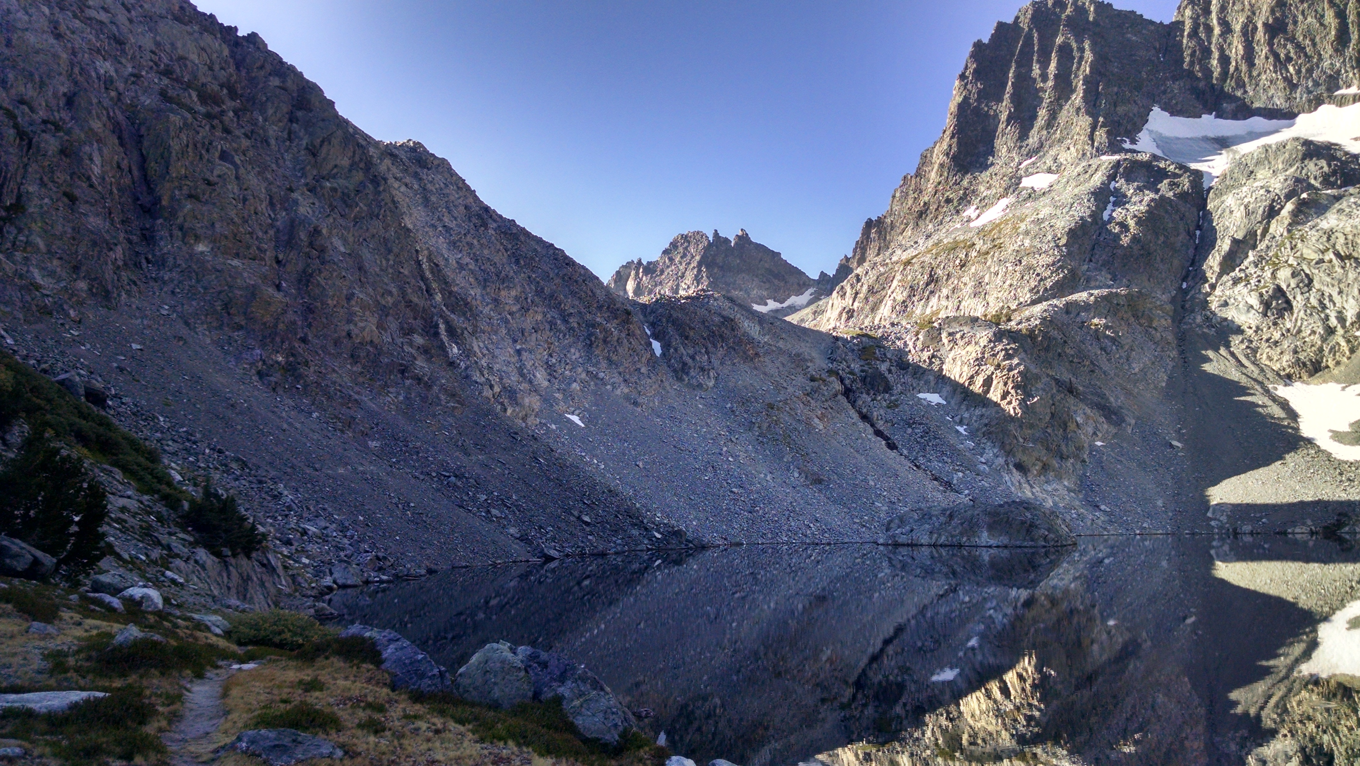
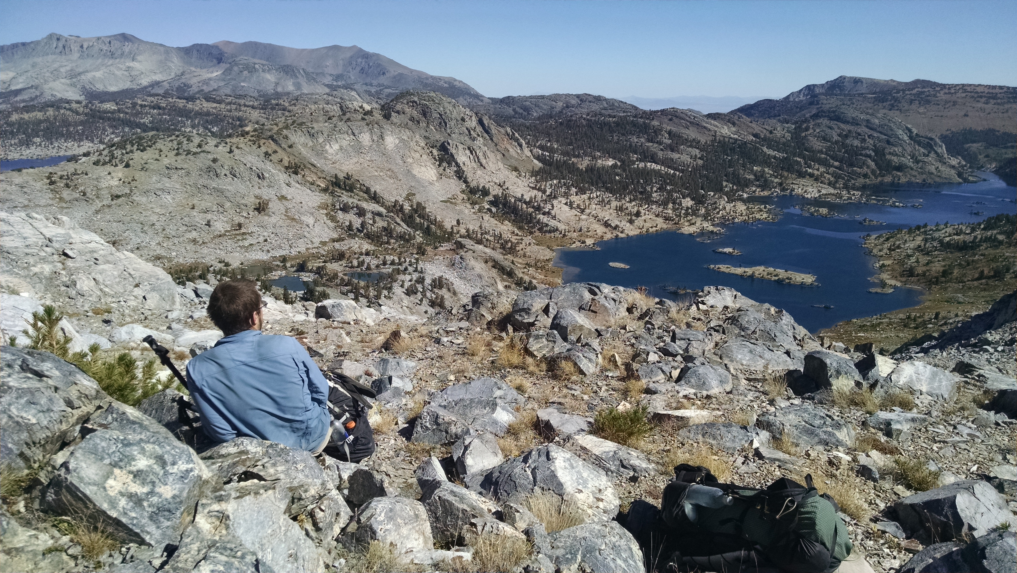
SHR Day 19 – Sky Pilot Col (31), Stanton (32)

Cascade Lake to Spiller Creek

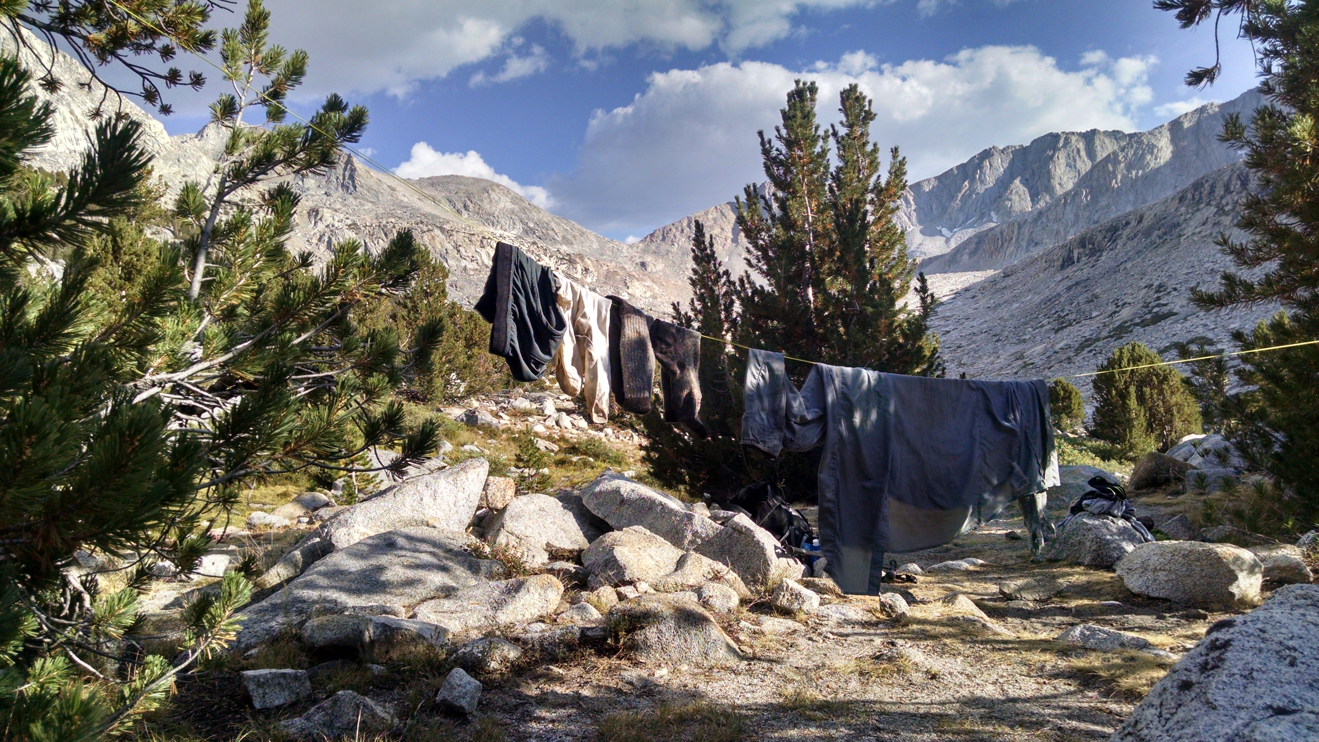
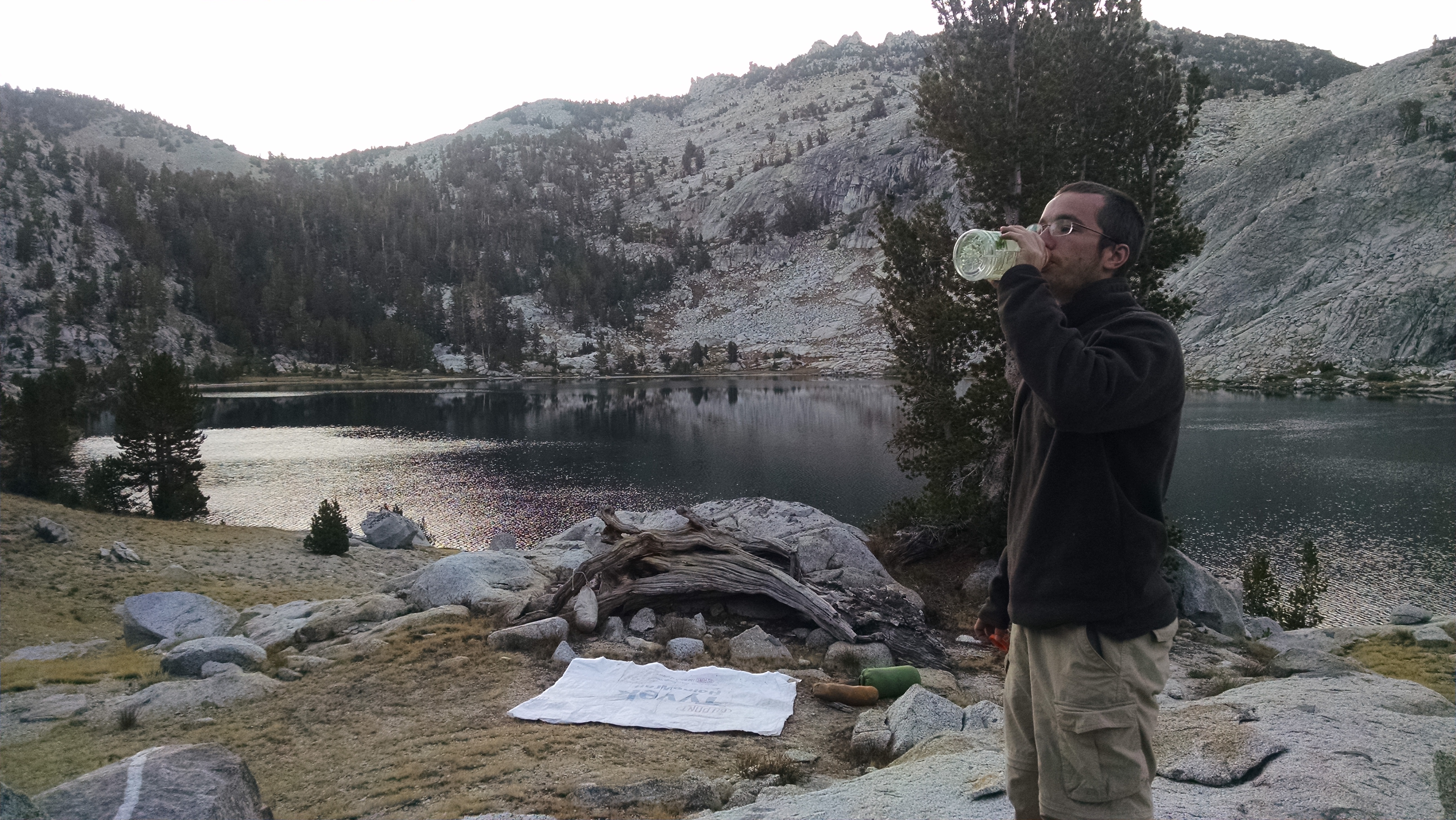
We wake as we knew we would, cold and wet. The melted snow is now frozen water, on the ground, on our tents, and condensed inside our tent. Our water bottles are frozen. The stars are still out, which is a good sign our closest one will also appear and begin drying us out.

We stay hidden in our frozen tent caves until actual sun rays reach us. We slowly move things around, brush them off, and position them appropriately for the sun god. It is 9:30am by the time we get going, and we have to stop for non-frozen water to filter, so it is closer to 10:00am when we start our assent of Sky Pilot Col.
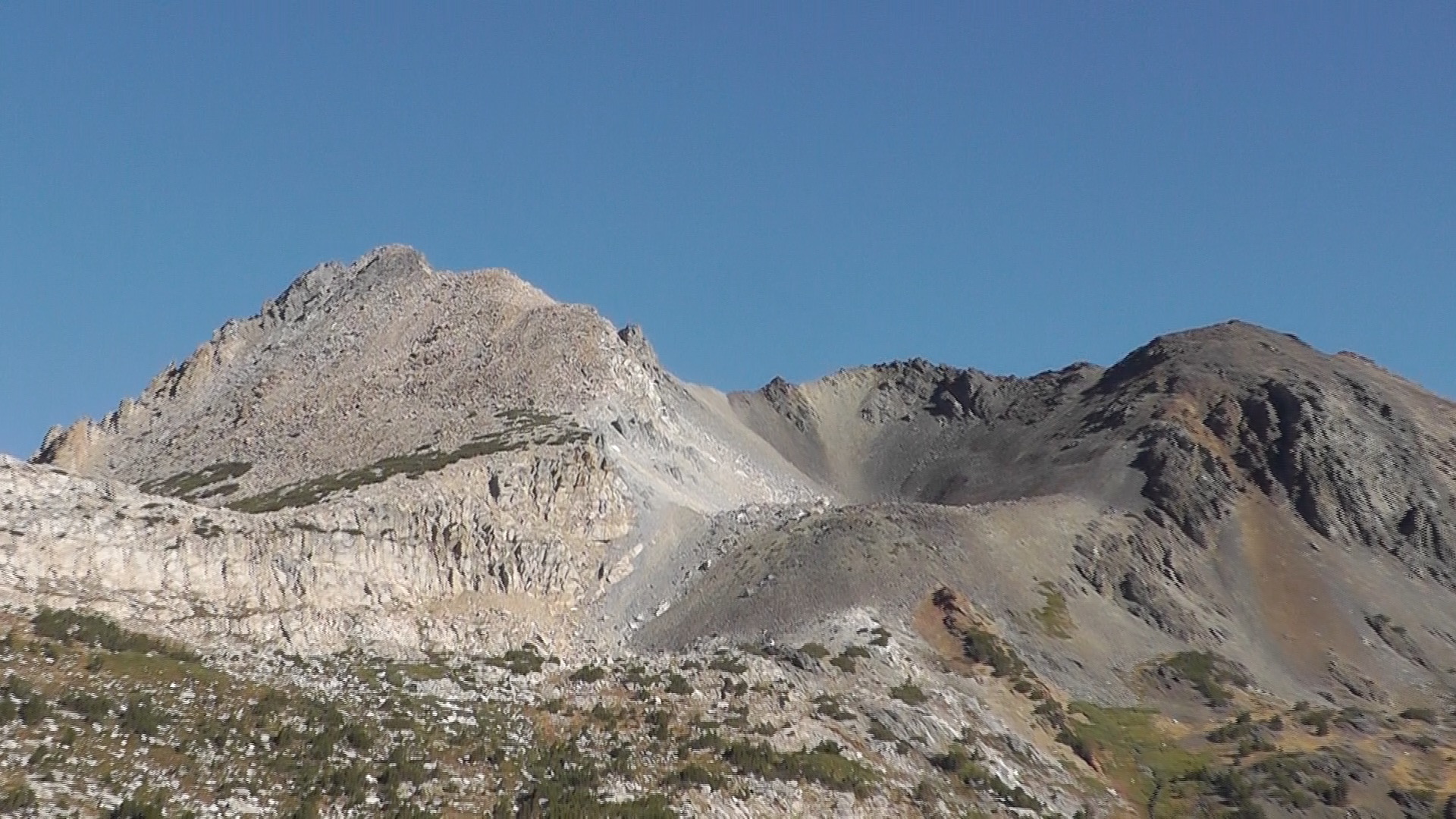
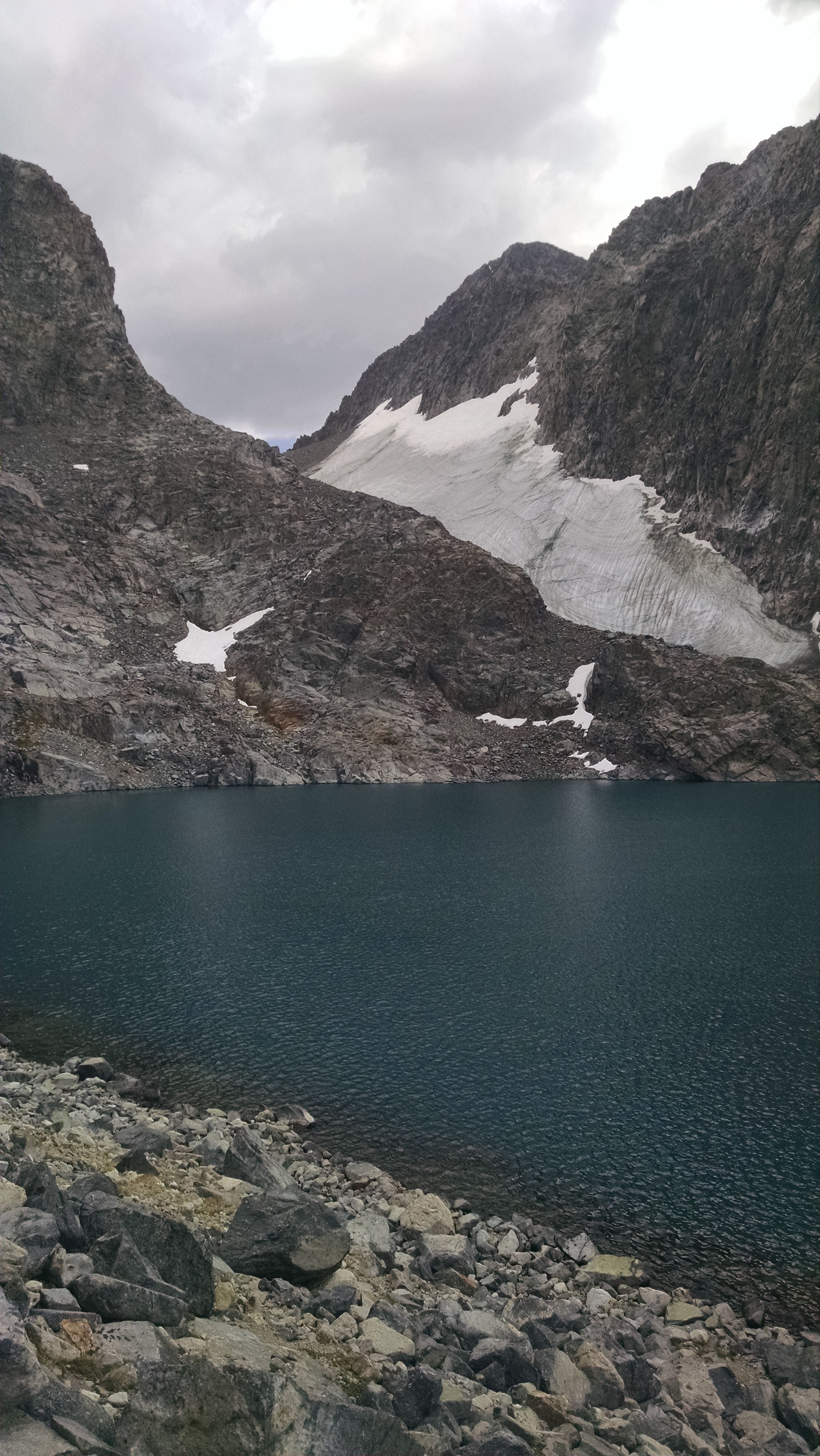
Sky Pilot Col
Sky Pilot Col

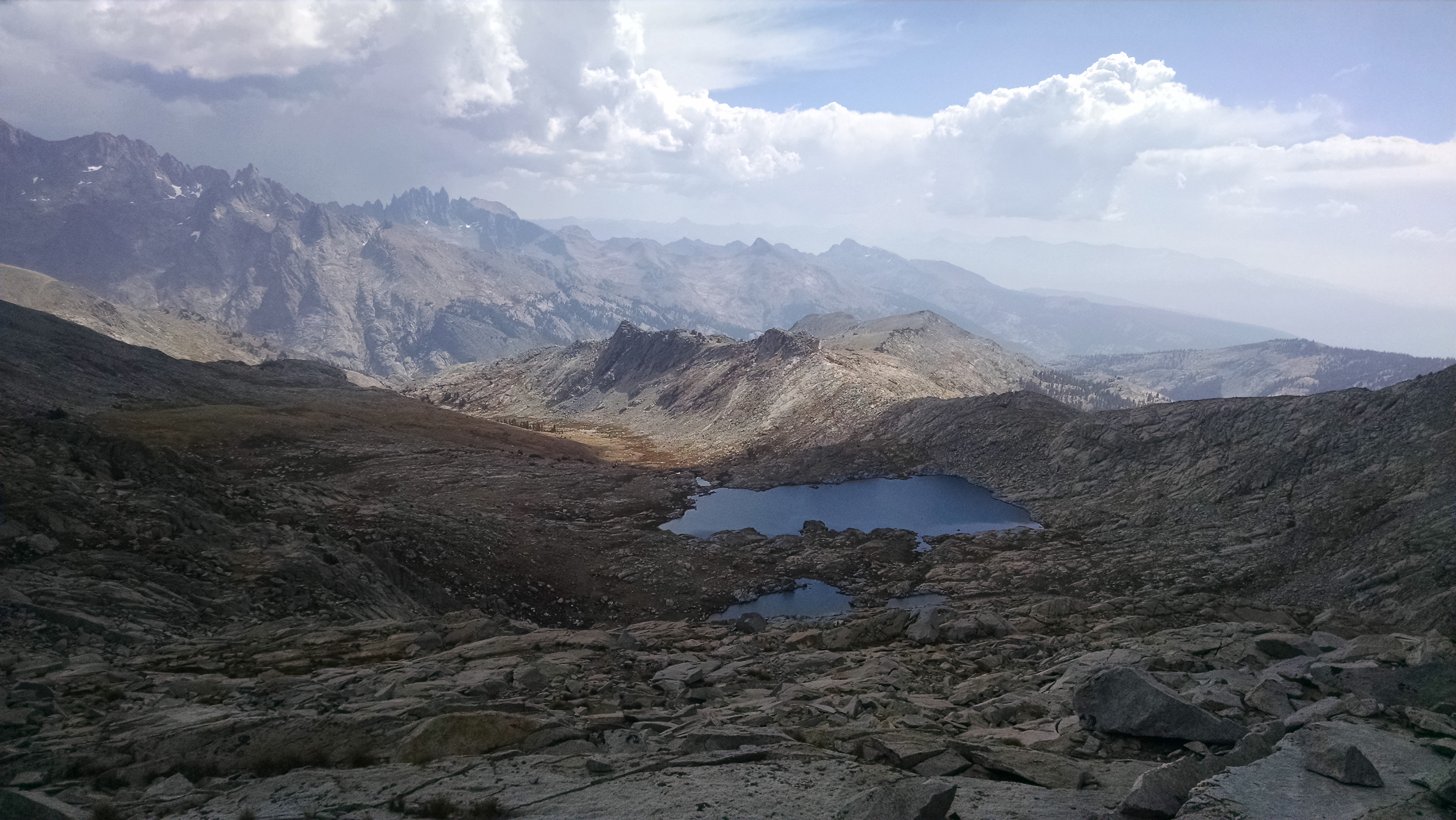
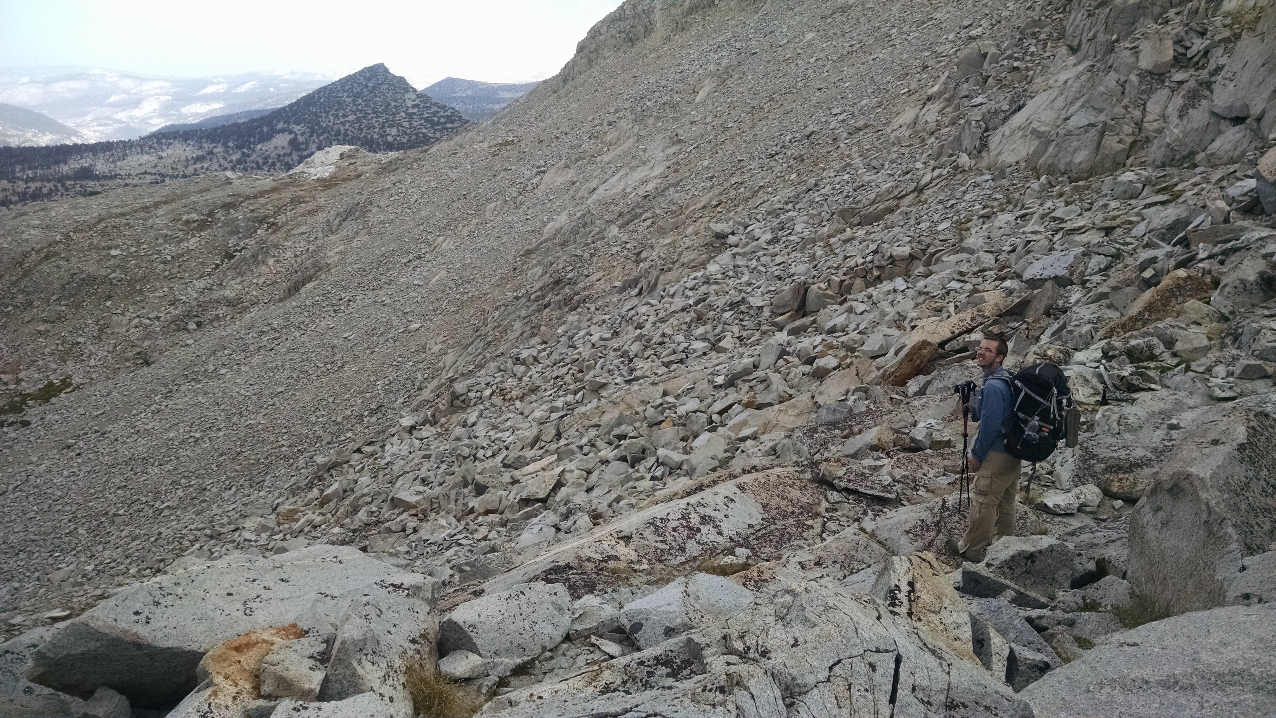
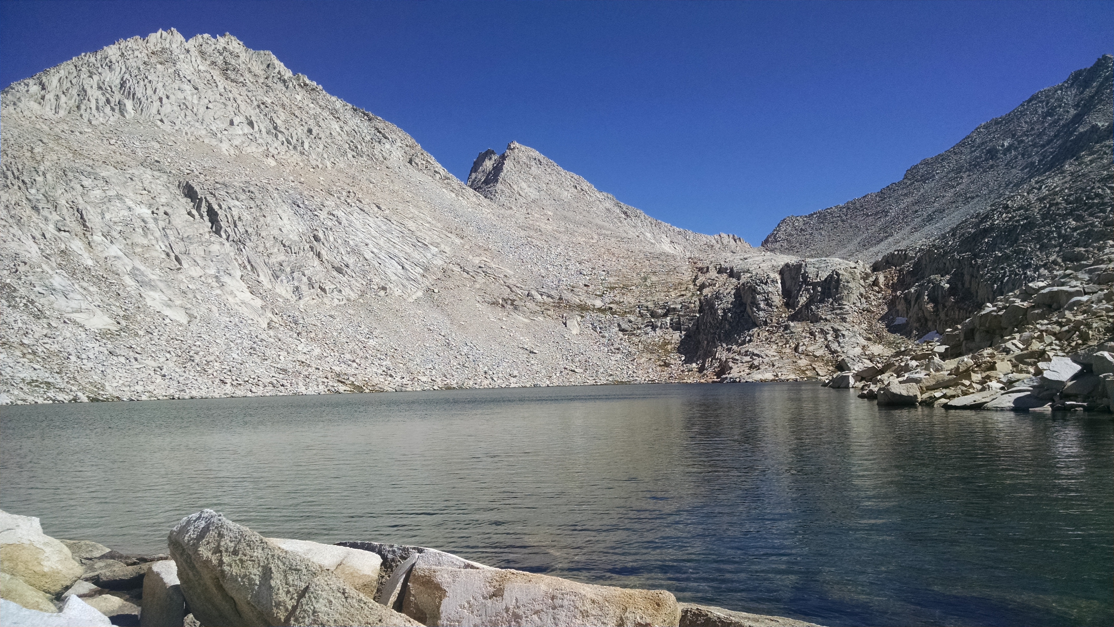
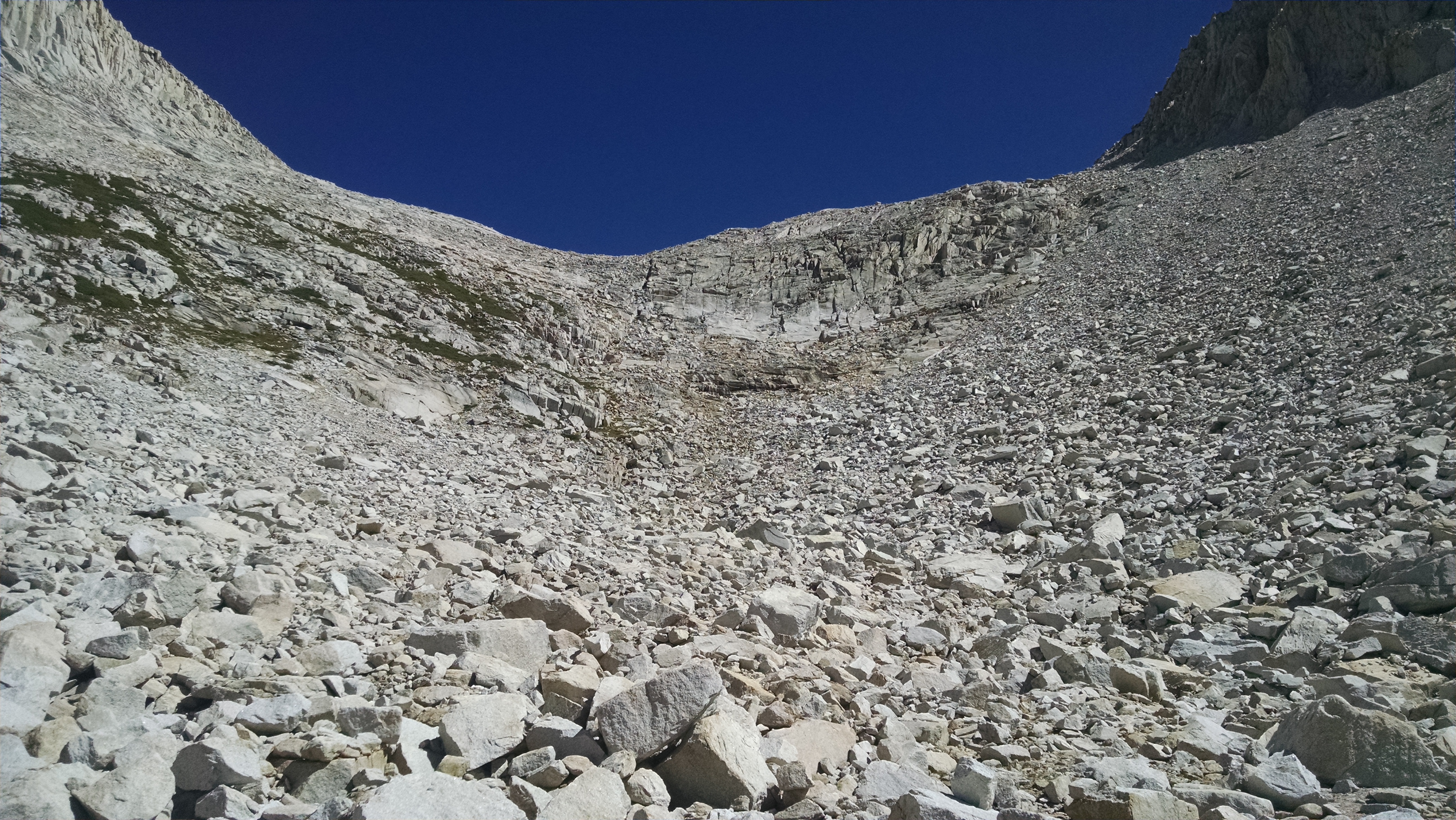
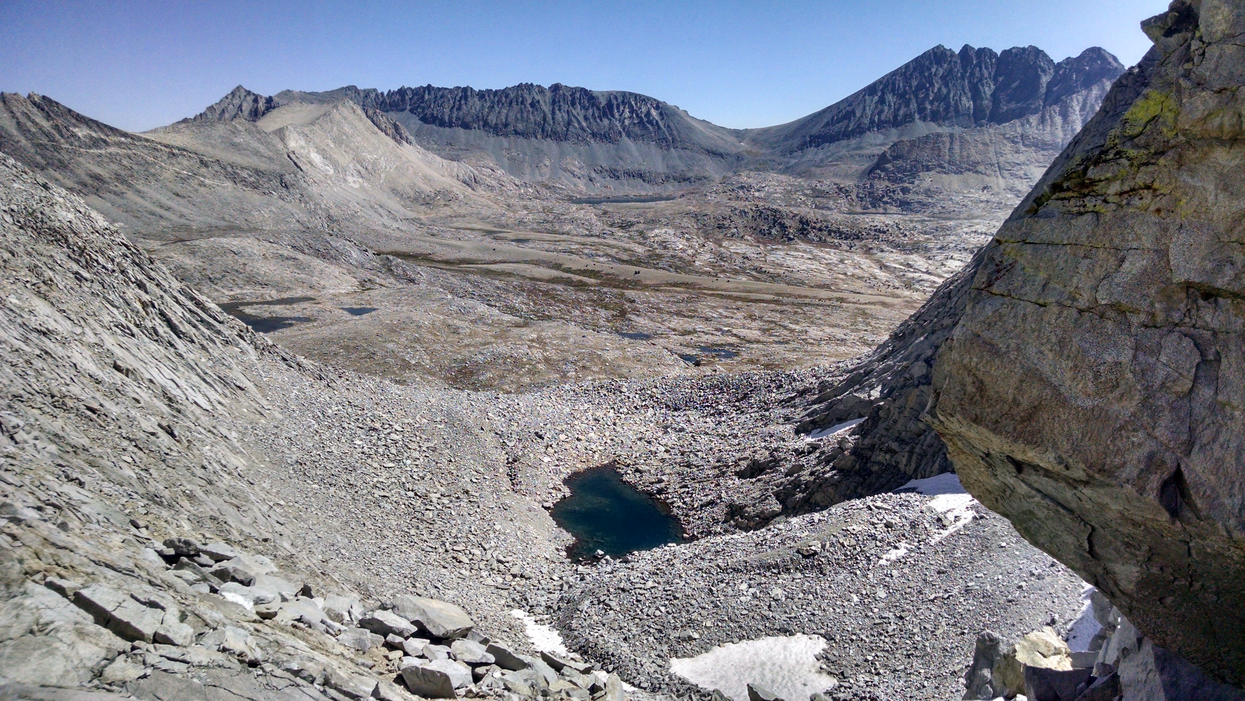
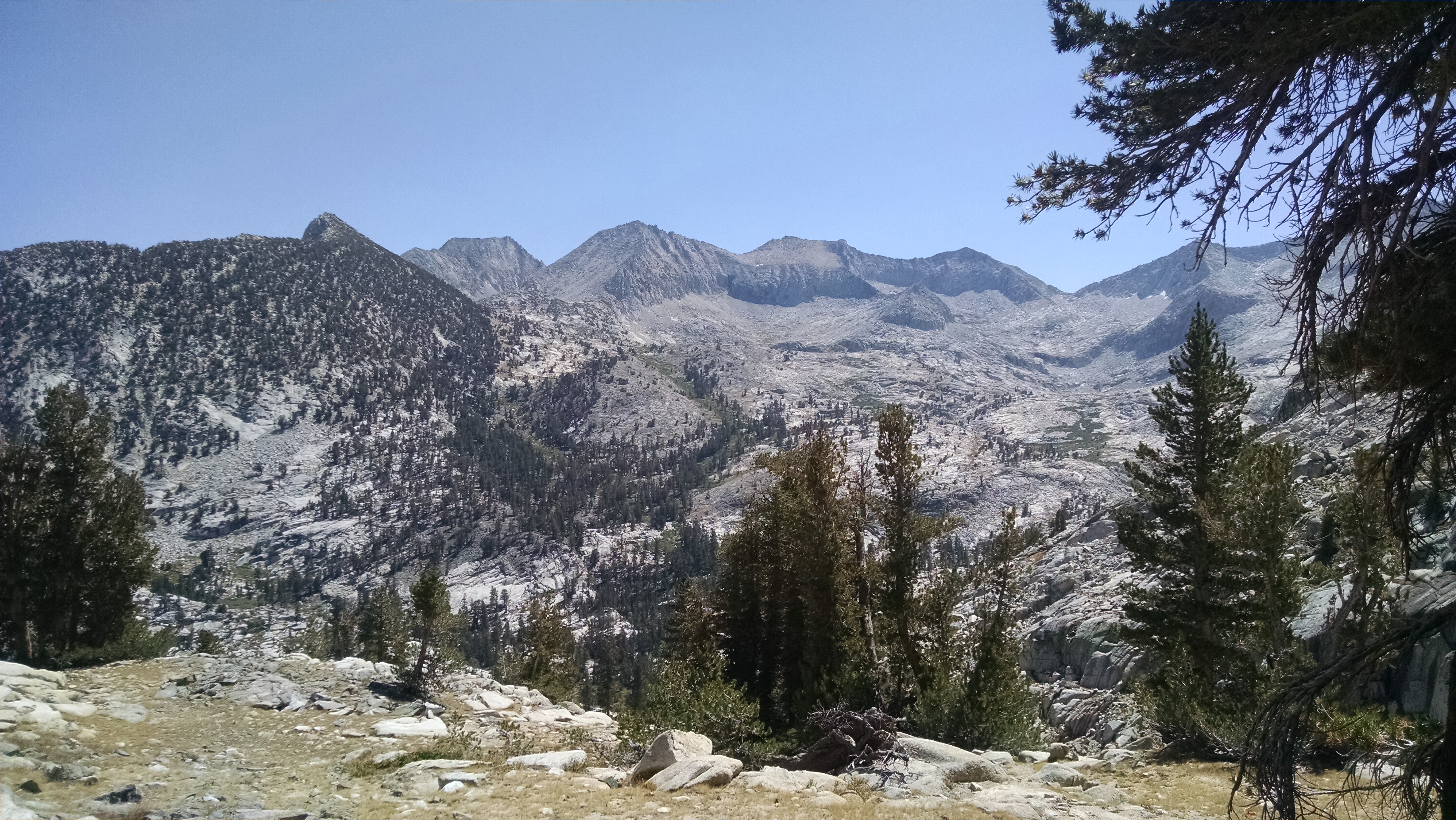
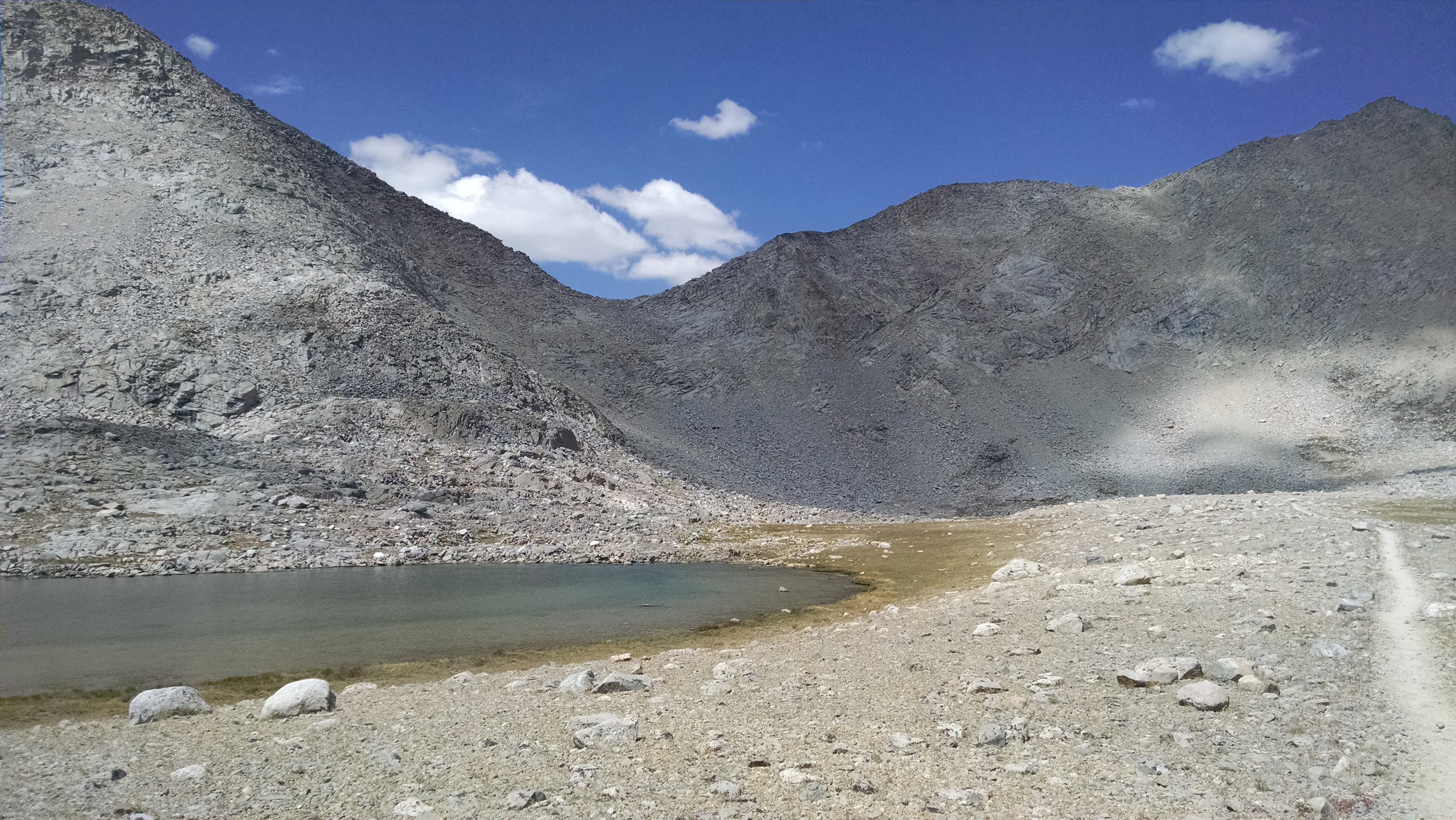
Sky Pilot Col feels like a triple by-pass. First we scramble up to a tarn. Second we scramble up nasty talus blocks, which keeps getting steeper. It is like the sloped wall in American Ninja Warriors. Third we scramble up loose scree, which keeps getting even steeper and looser. The ground is so unstable, each step forward involves some sliding backwards. There are times we slide further backwards than we stepped forward.
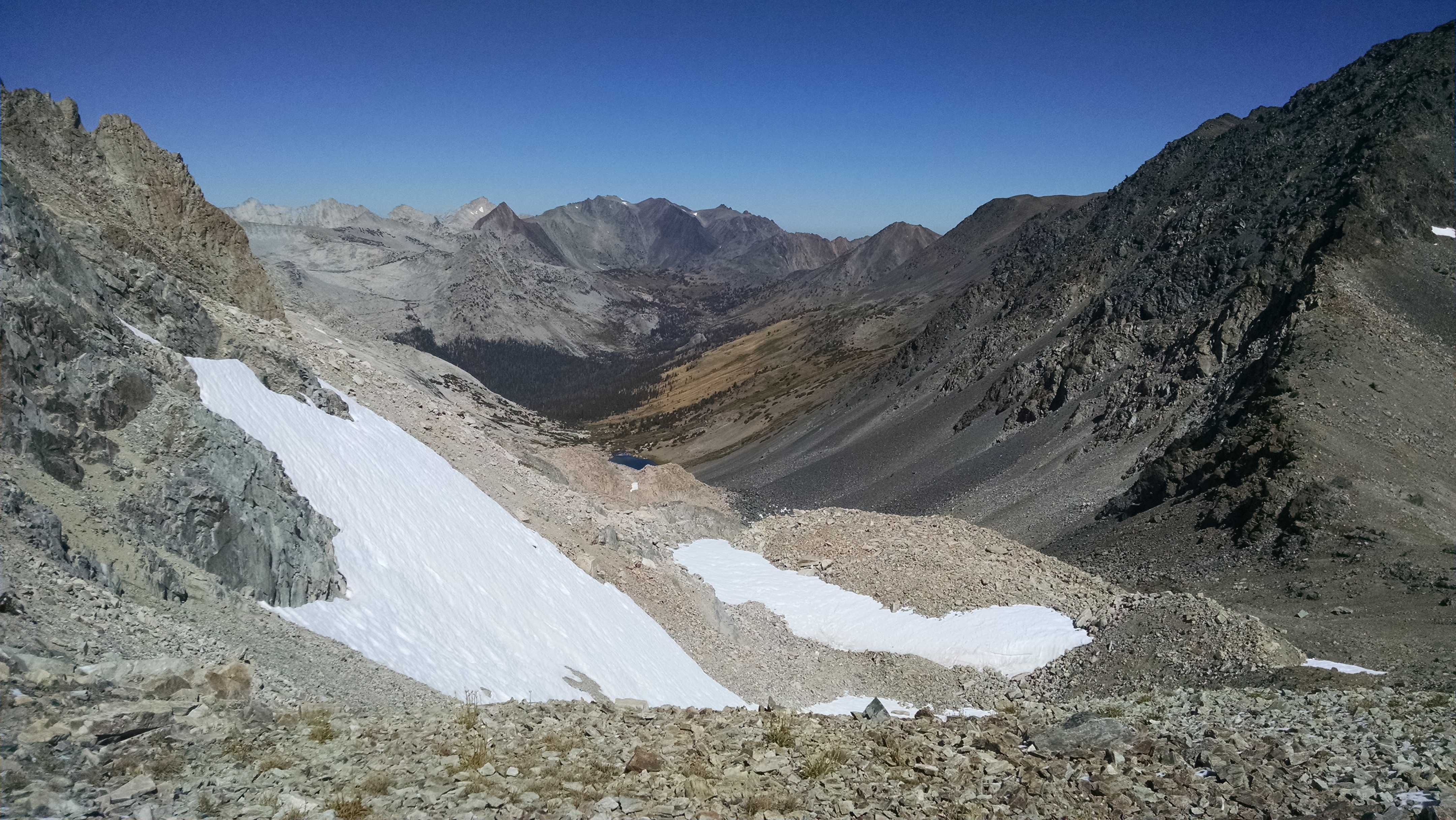
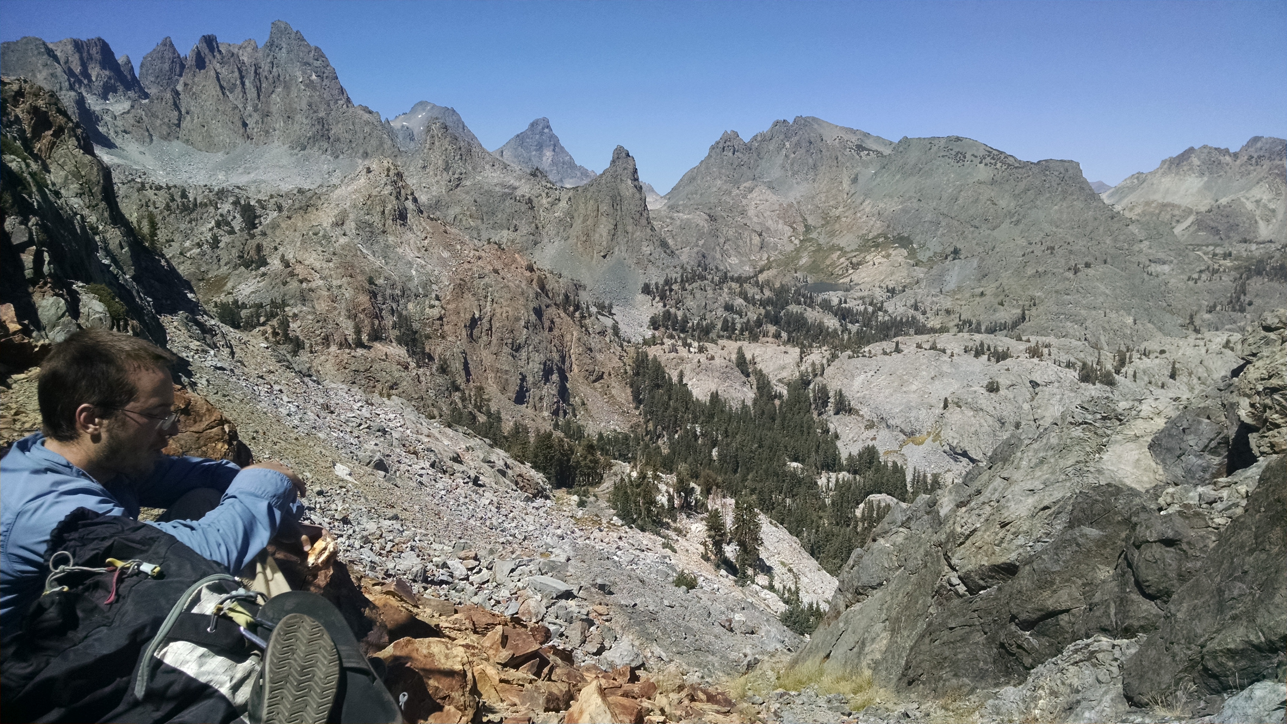
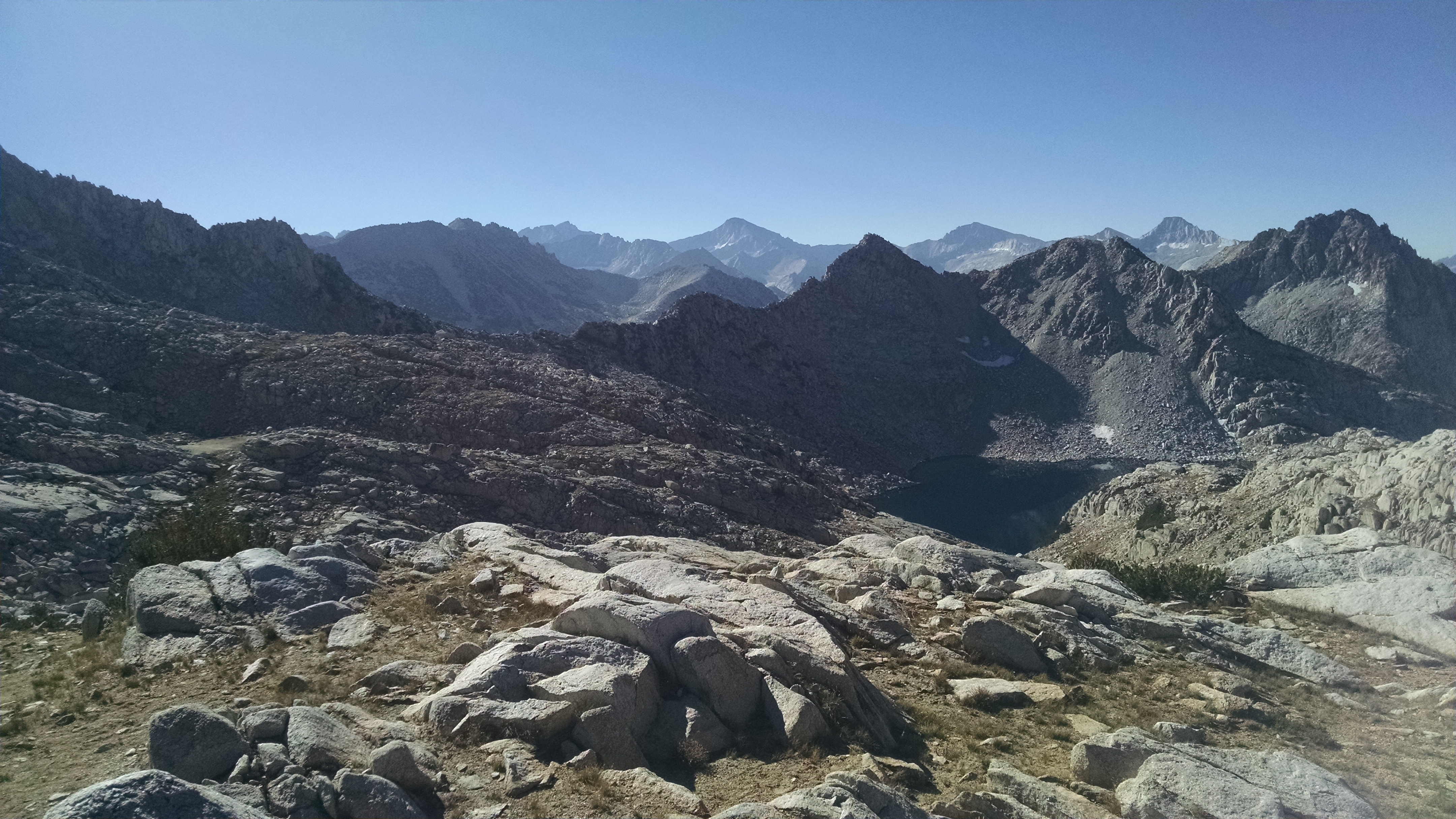
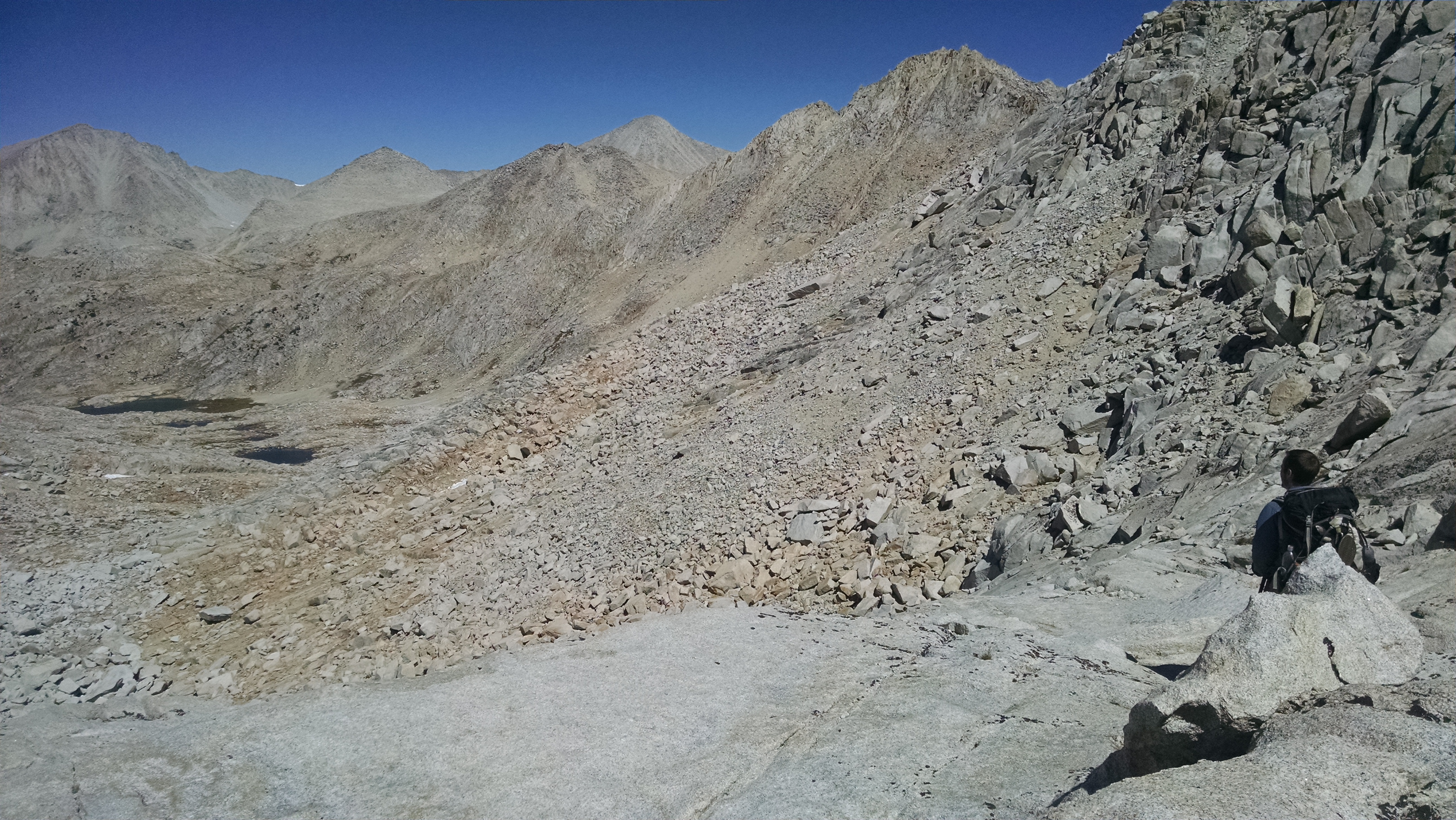
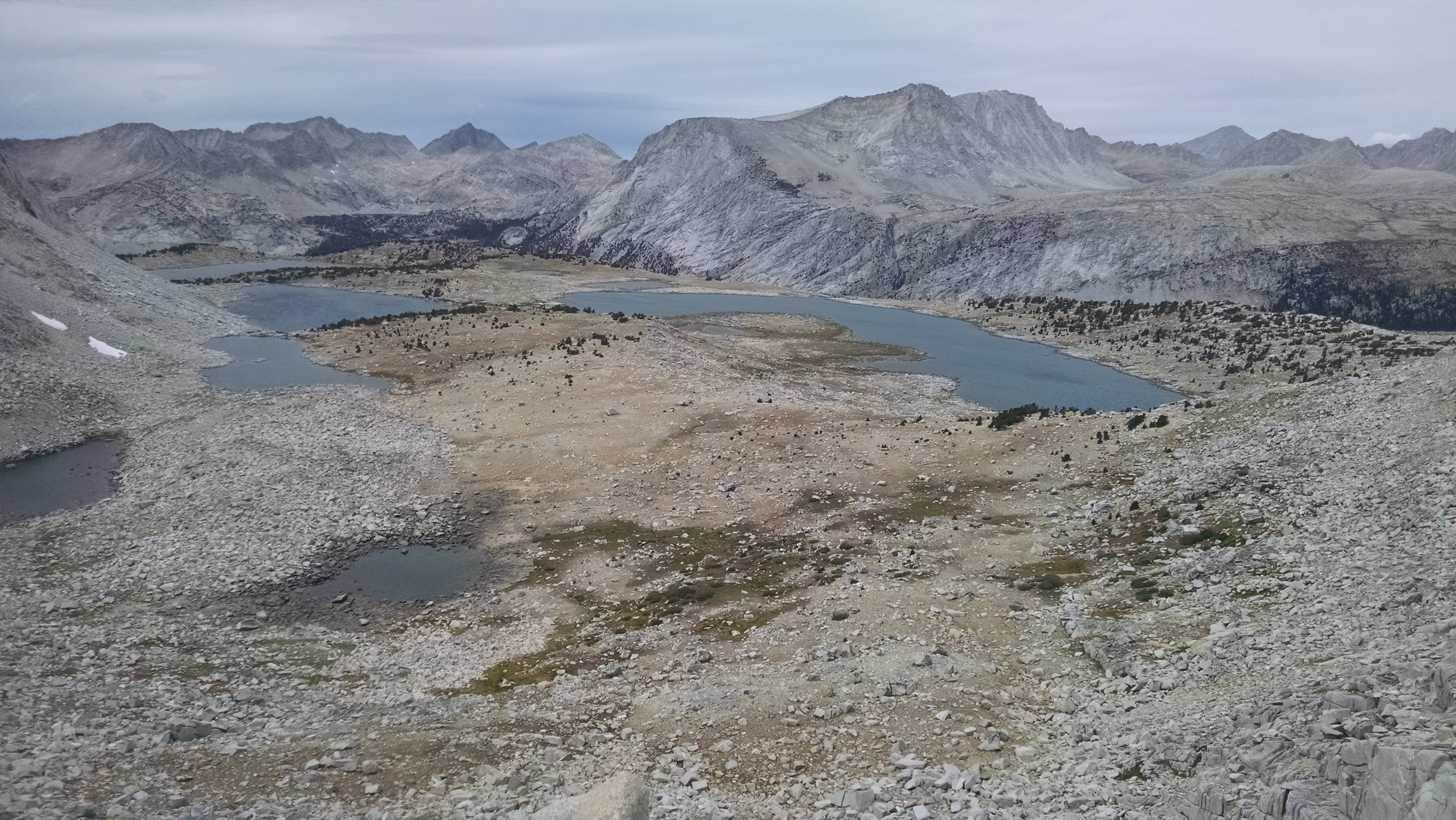
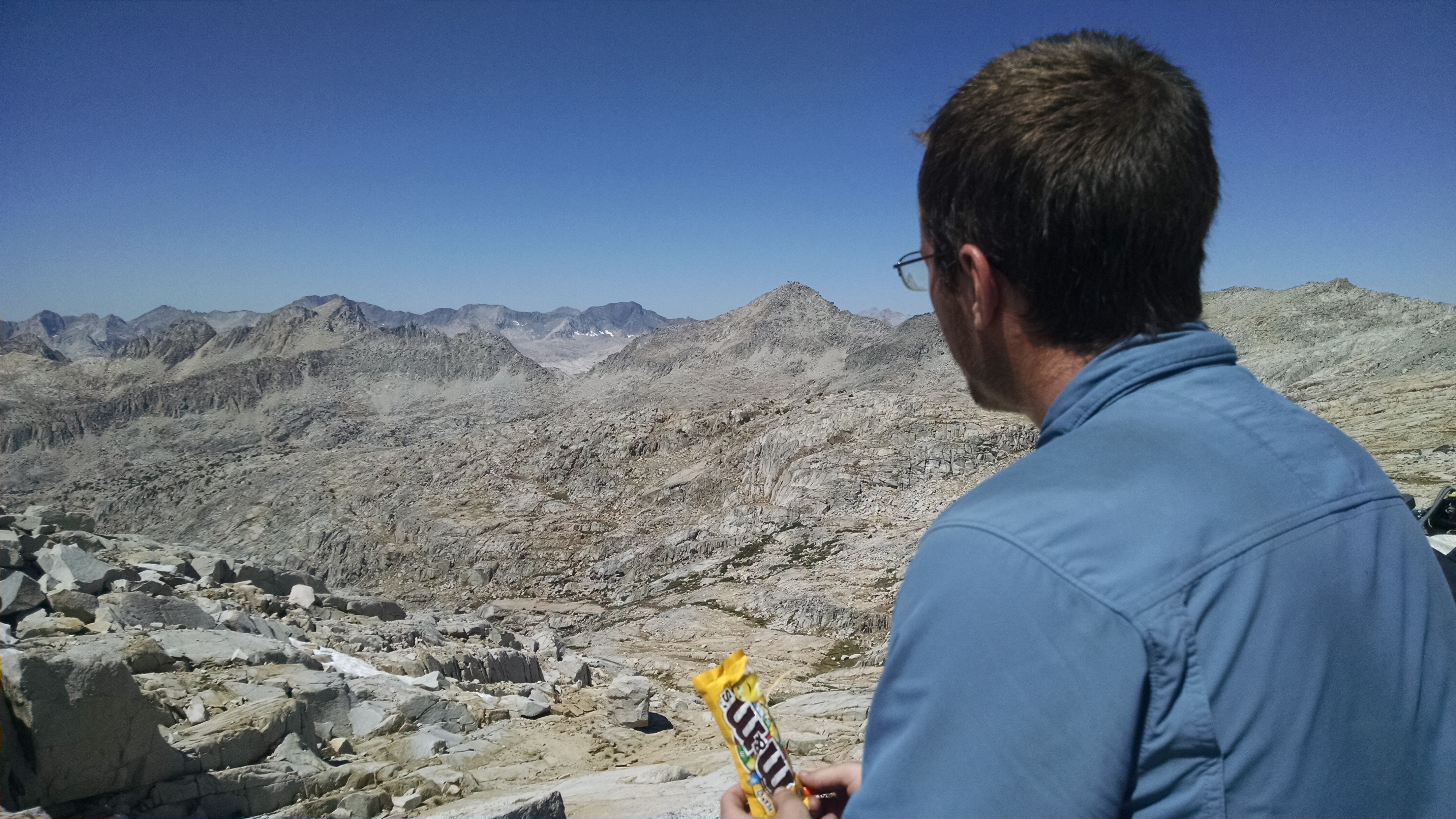
Looking forward from Sky Pilot Col

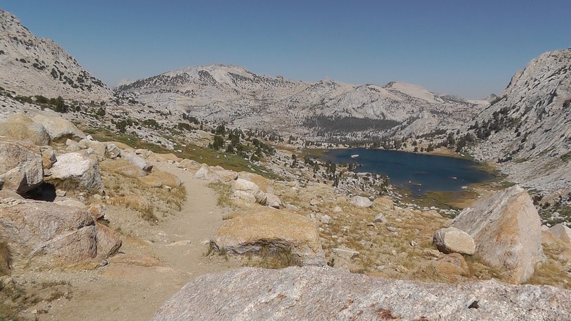
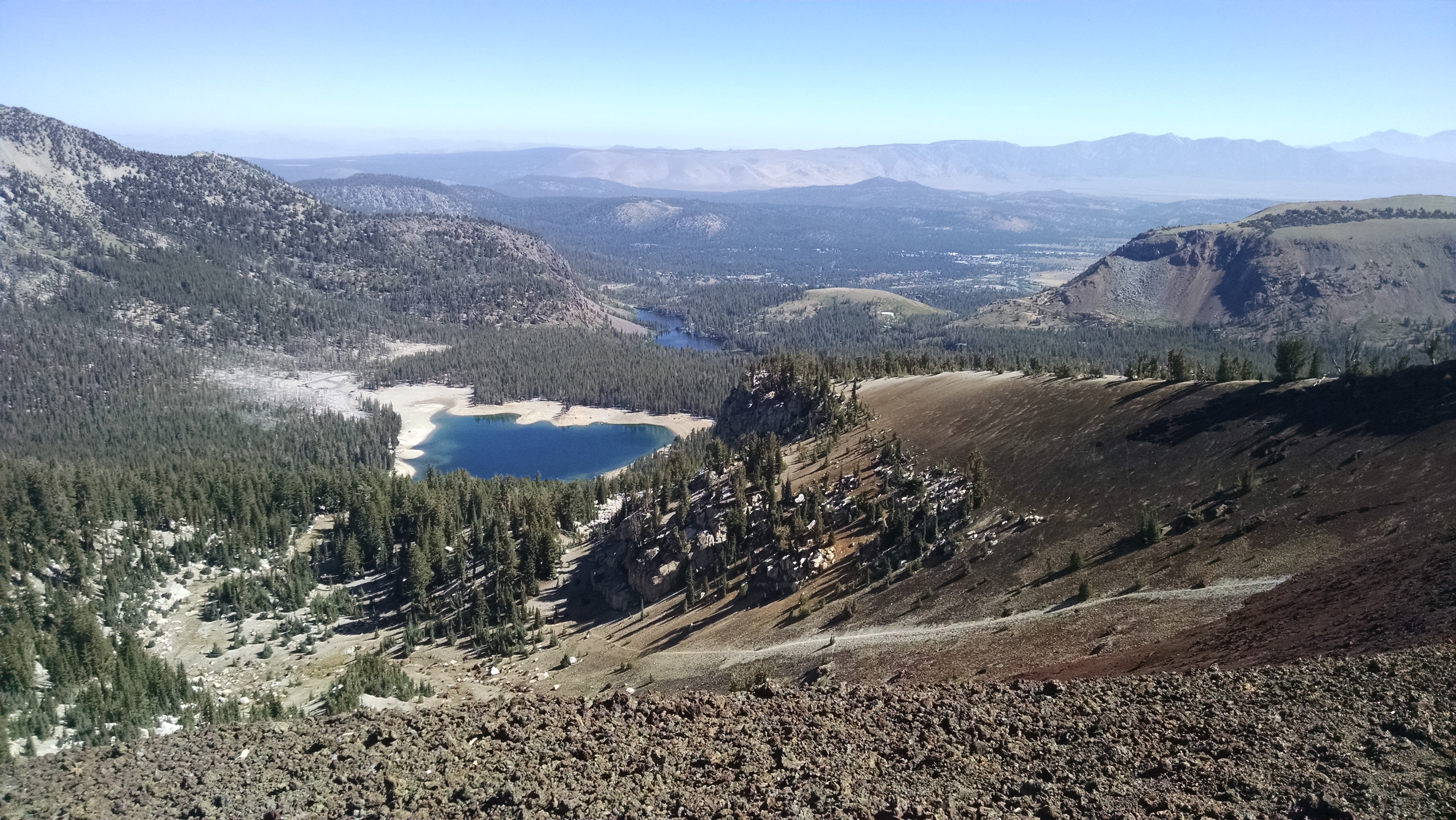
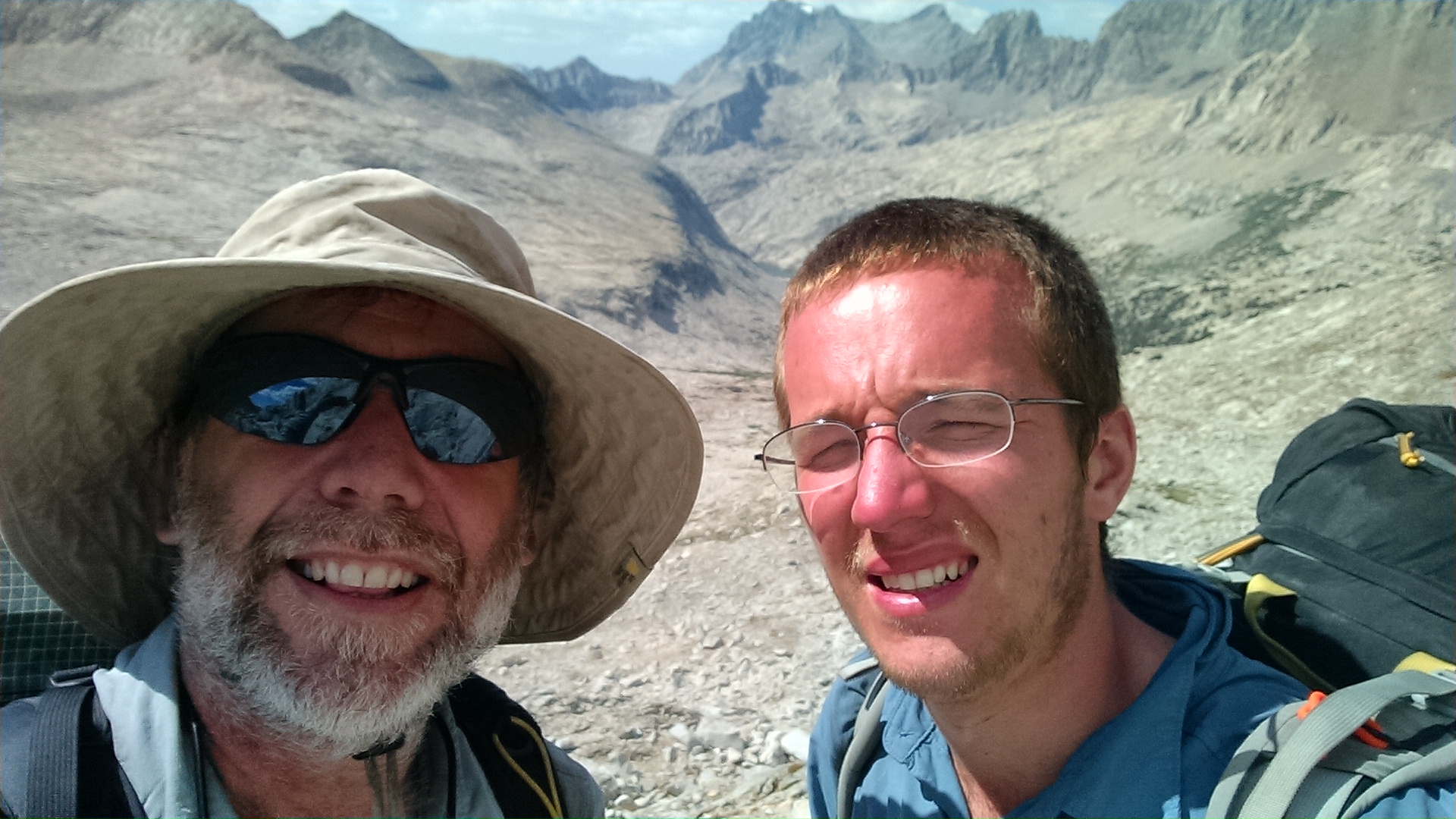
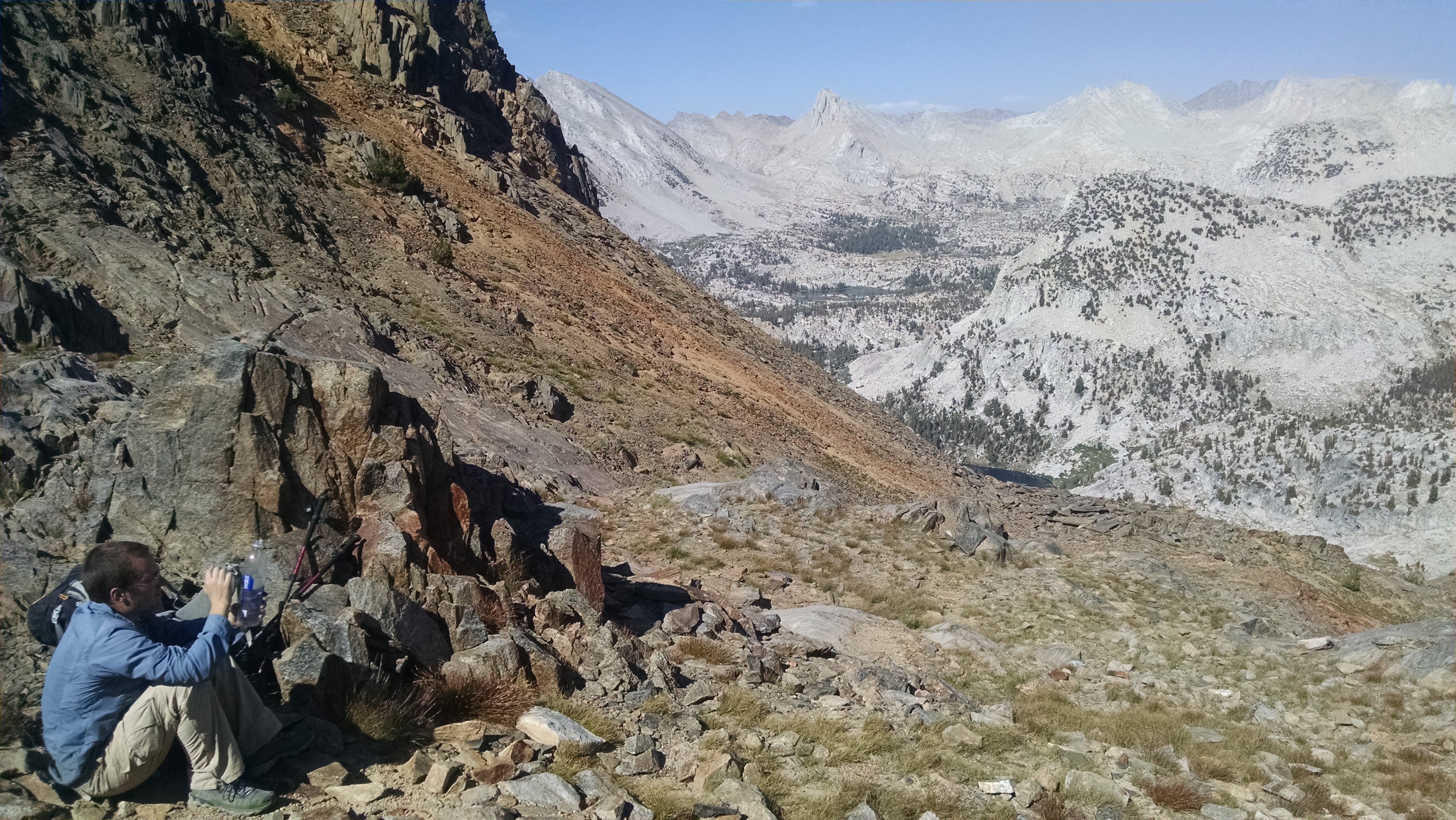
The view at the top is amazing, but even more amazing – my phone starts dinging with messages from Terri. I didn’t even know I was not in airplane mode. I try to call, but that fails. The few text messages that went through made it seem we were on track to be picked up tomorrow. It sounds great, though frankly, we have lots of miles and elevation left to do to make that happen.

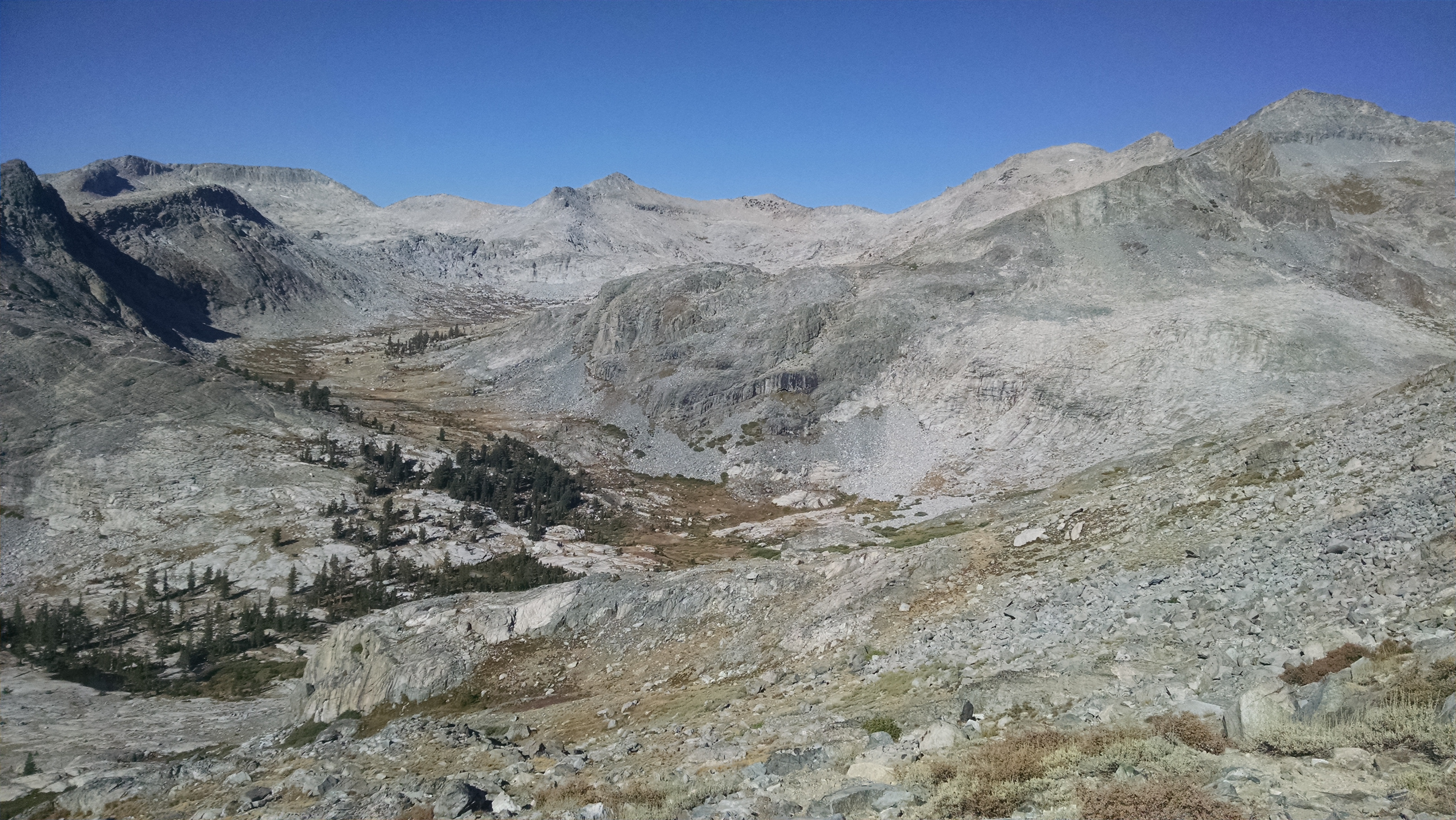
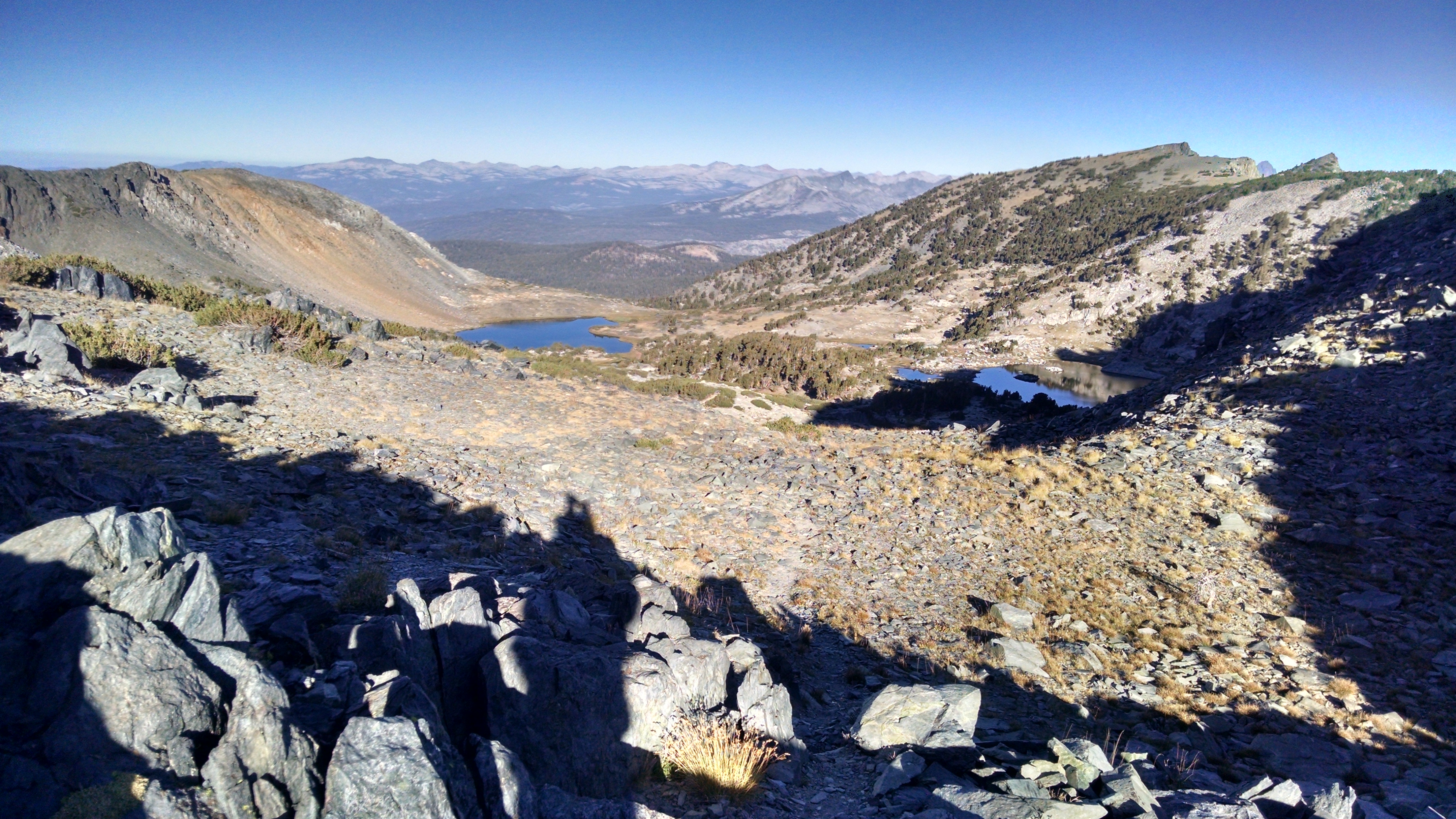
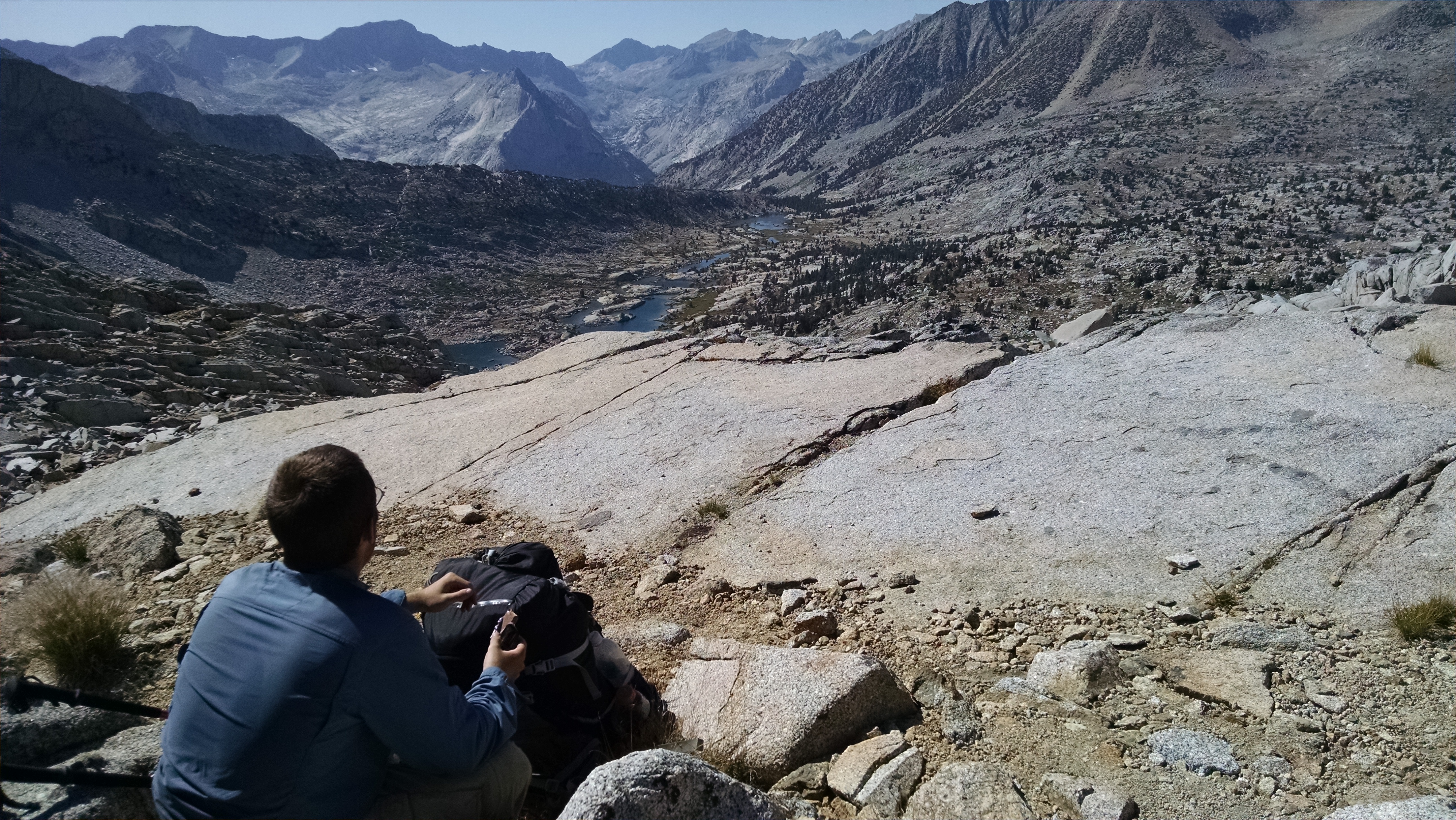
The trip down from Sky Pilot Col was crazier than the up. The down can only be described as a series of bone chilling avalanches. Each step was a complete mystery. It could be a normal step on reasonably stable scree, or it could be the beginning of a Mister Toad’s wild ride, as a large section of rock appears to liquify and make a run for it.
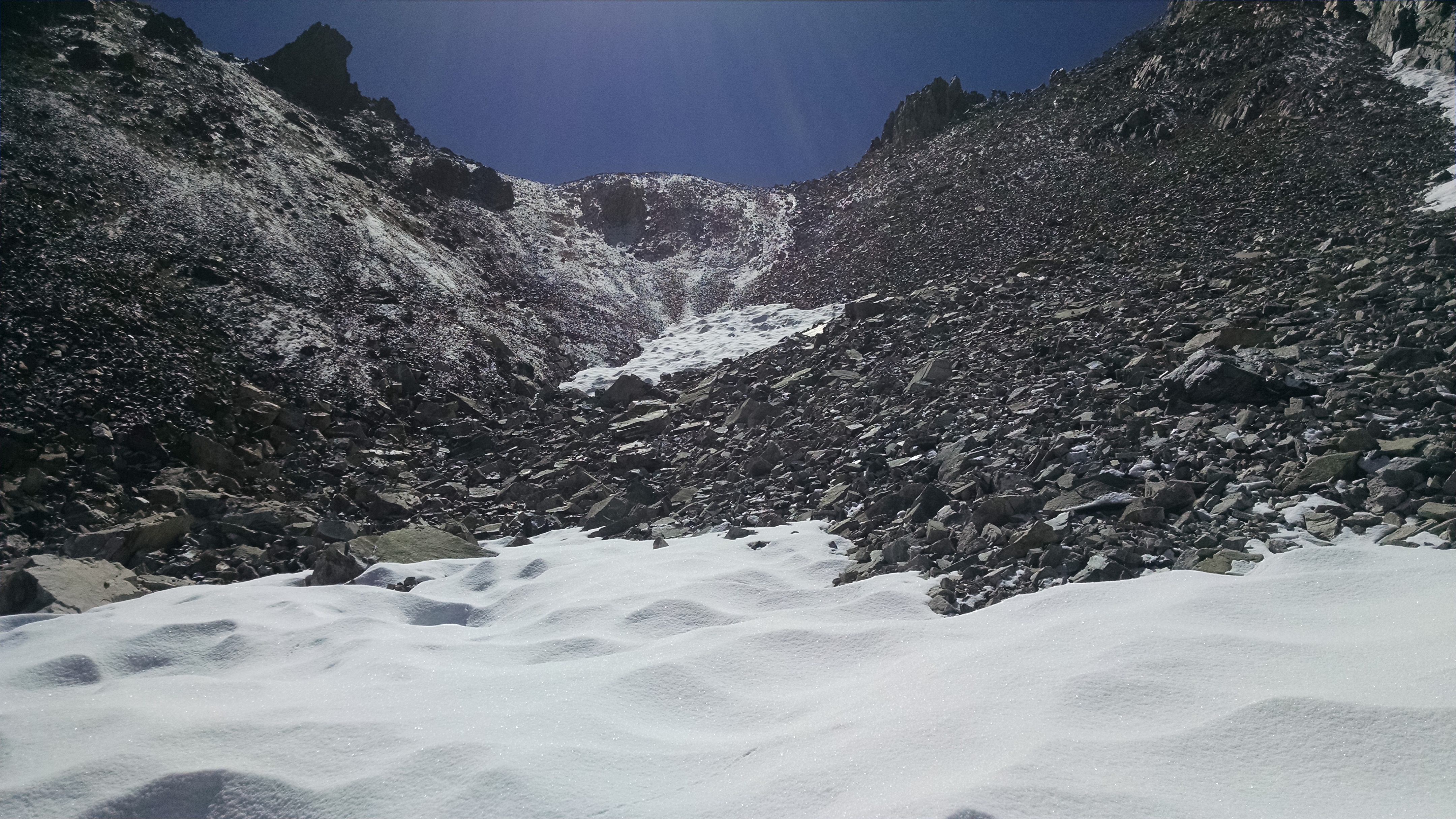
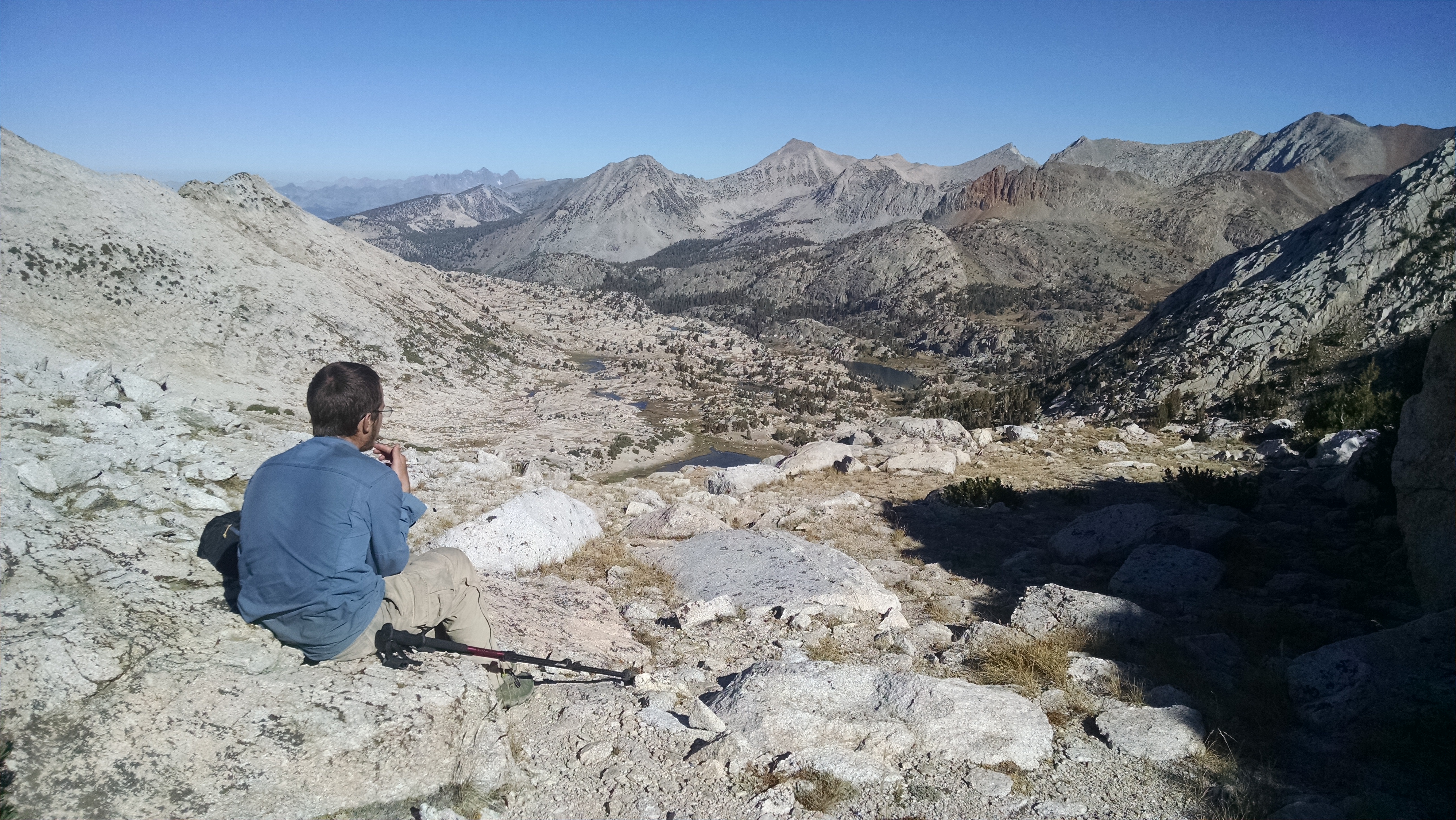
Looking back at Sky Pilot Col

The steepness eventually becomes more reasonable, and the avalanches less frequent. Instead we faced miles and miles of miserable boulder and rock hopping. It seems like we are killing ourselves, and yet have so little mileage to show for it.

We eventually reach Shepard Lake, where we take a break and snack. We continue down towards Virginia Canyon. The journey is through mazes of willows, and eventually a not so pleasant crashing through the forest. Each step down is made more painful because, as soon as we reach the bottom, we will cross the creek and climb right back up over 1,400 feet of elevation.

The climb up out of Virginia Canyon for me is miserable. The forest is steep and thick. We are constantly zig zagging, trying to get over logs, around brush, and over rocks. You really can’t see the forest for the trees, and the maze offers no feeling of progress. I need to stop for physical and mental breaks. I can tell Kevin is worried we will not be making the necessary miles to get out tomorrow.
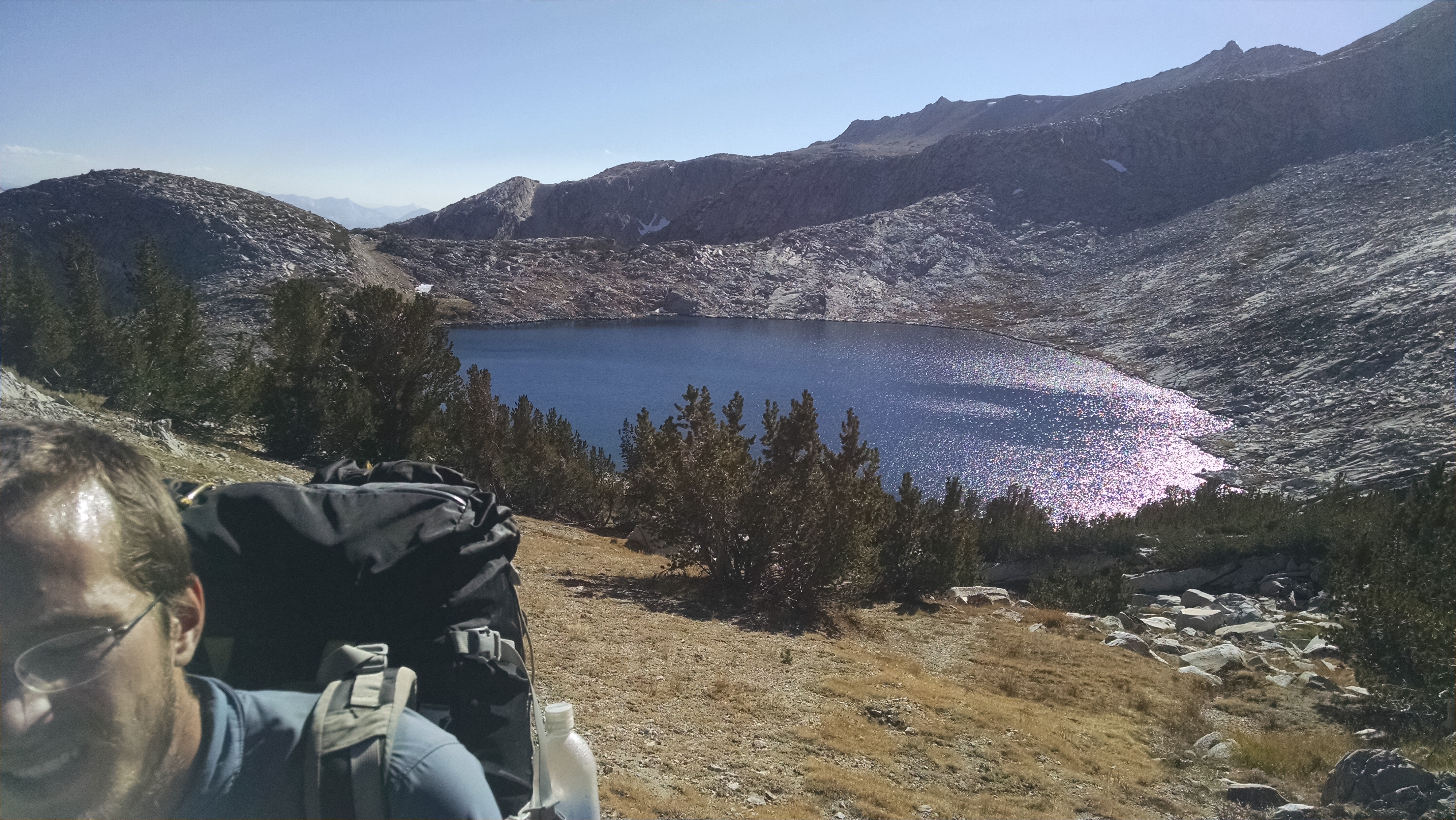
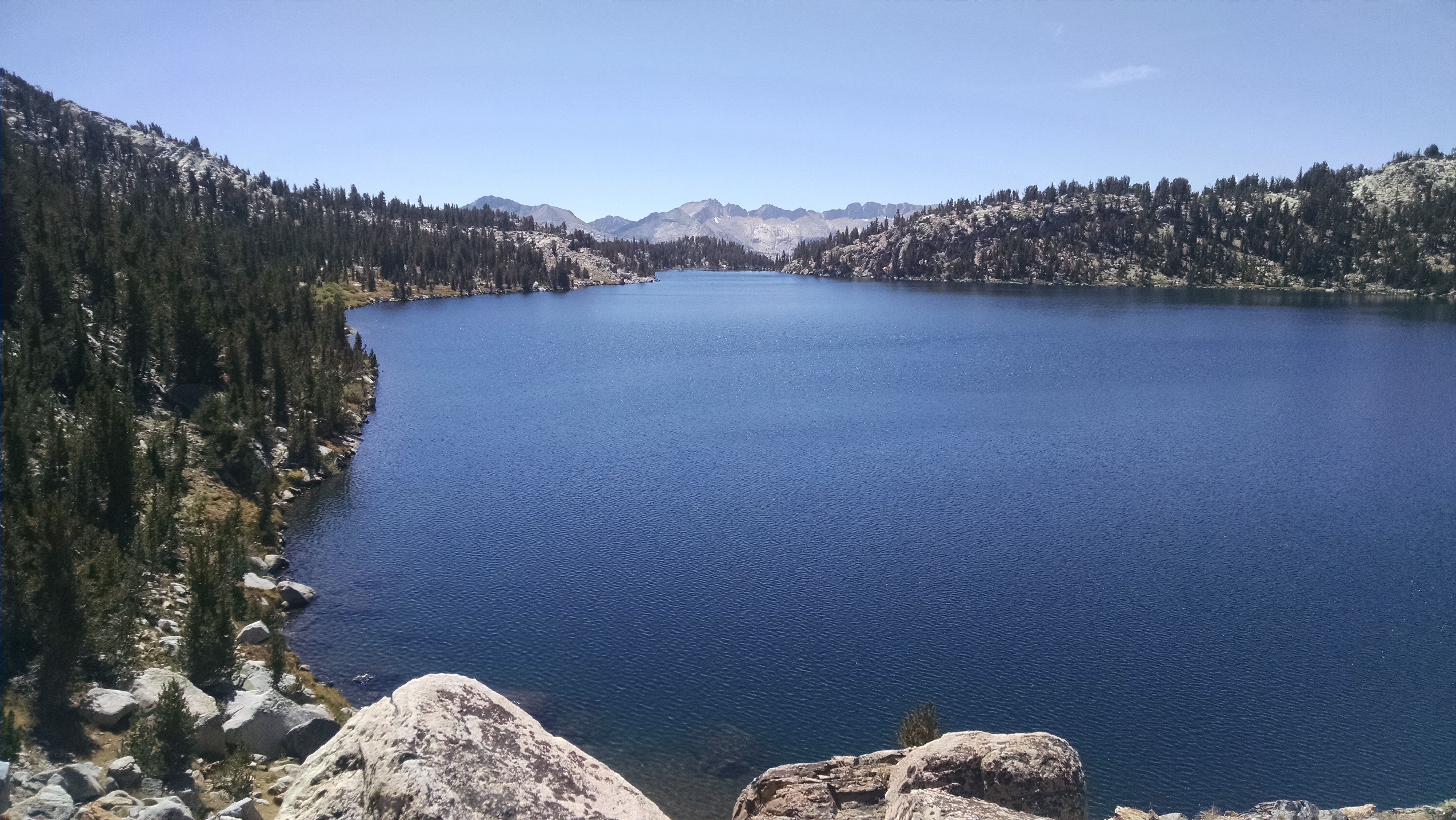
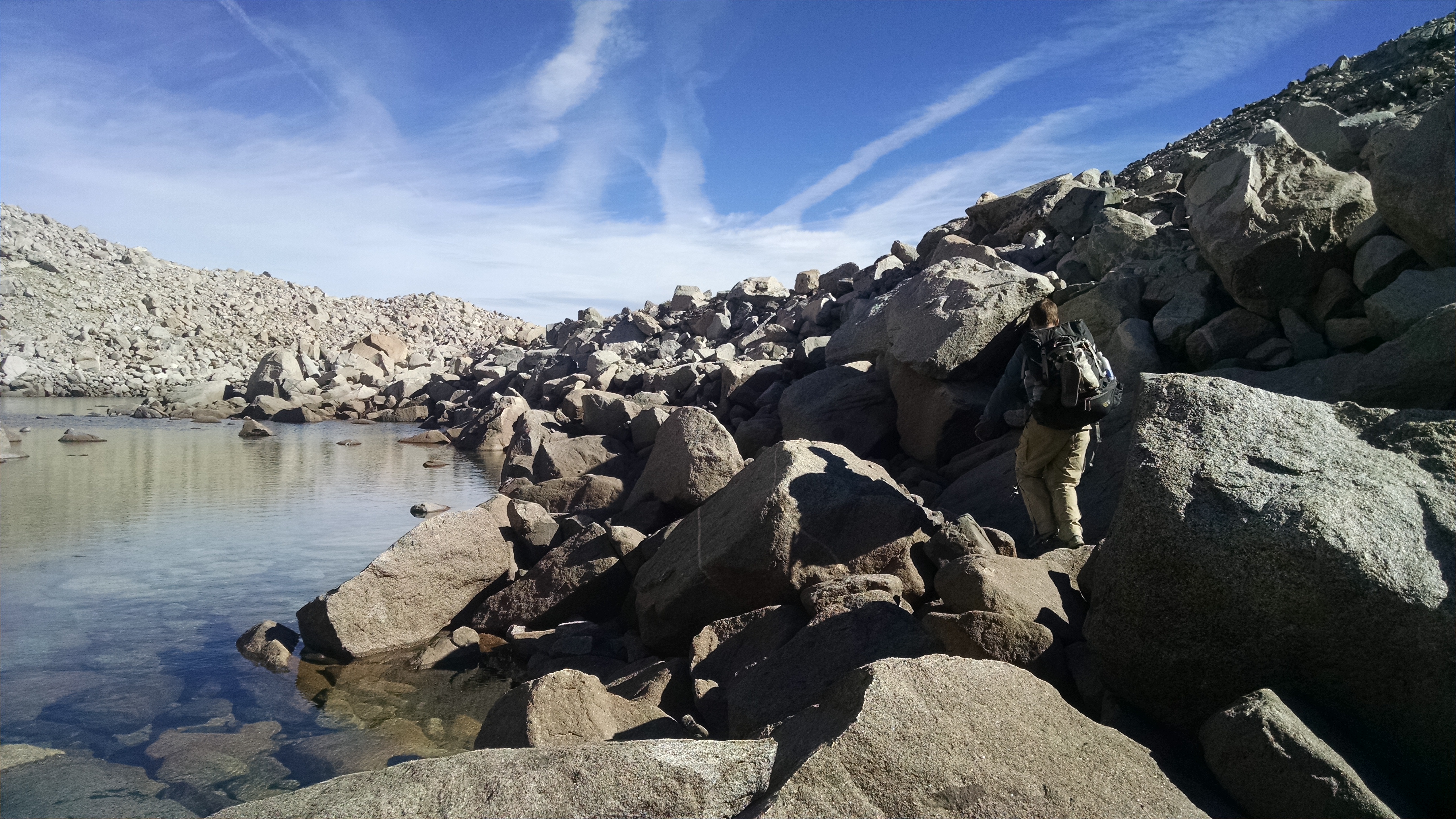
Soldier Lake
Soldier Lake

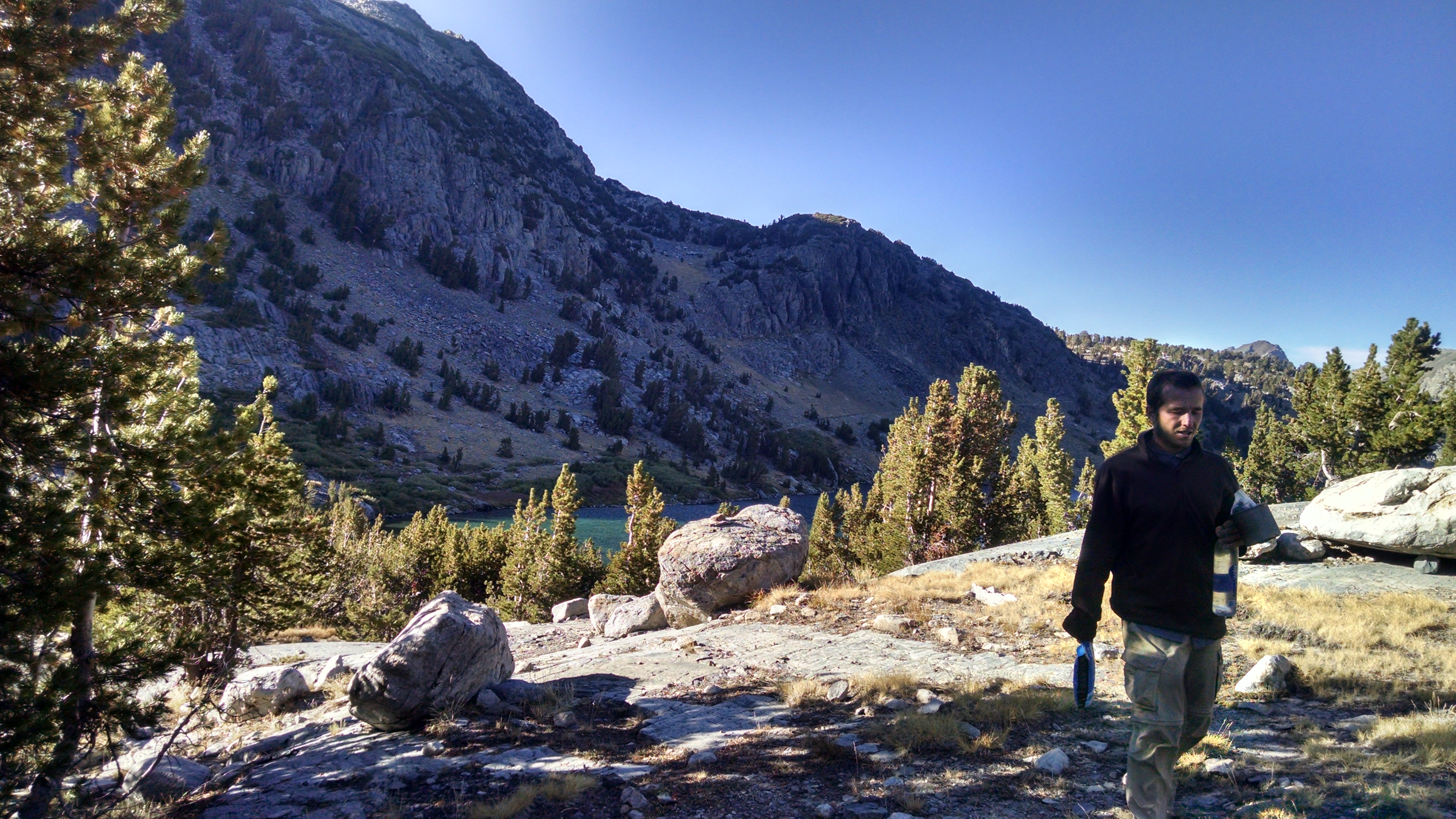
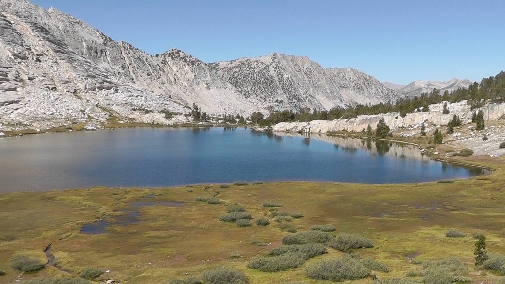
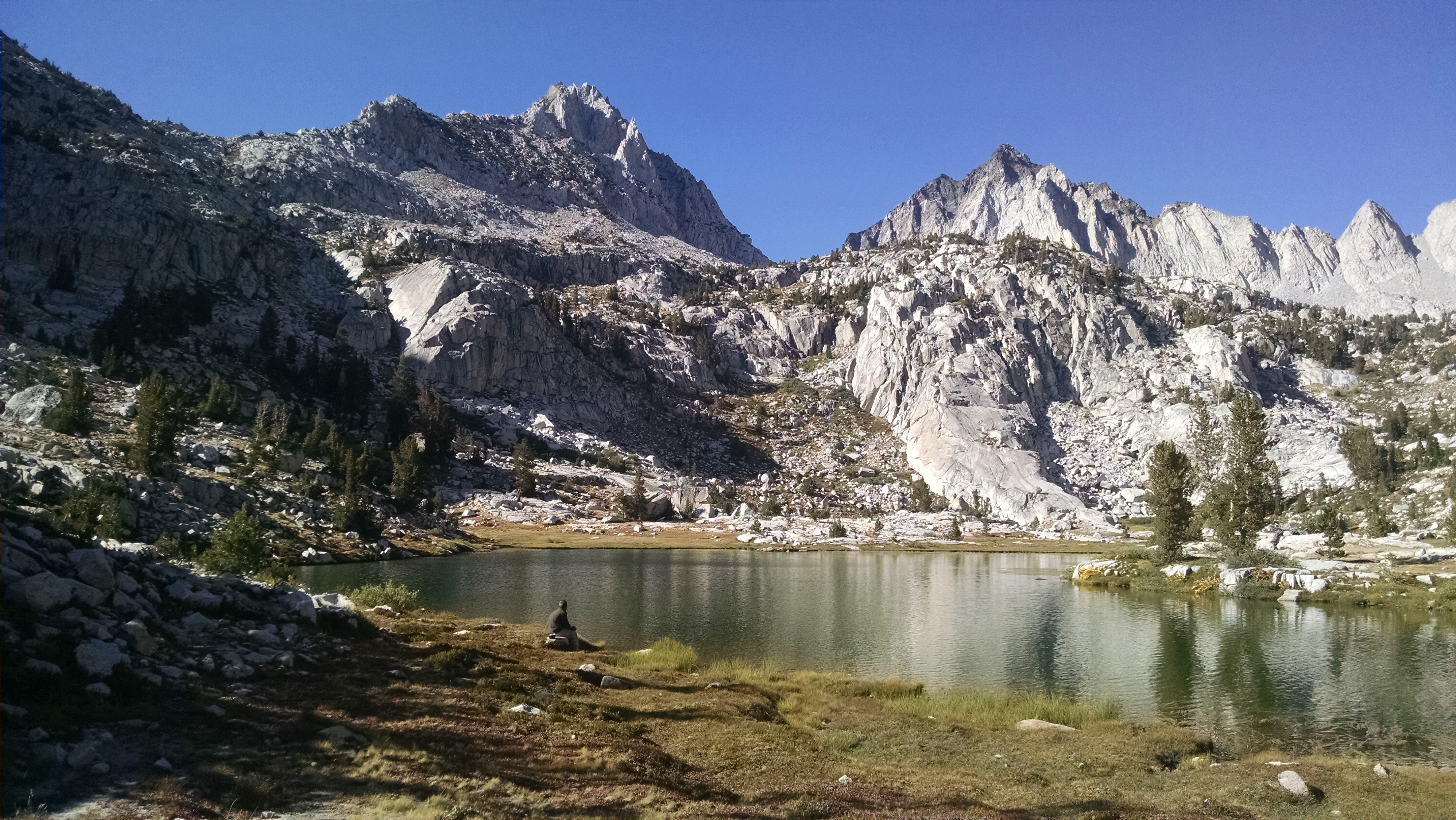
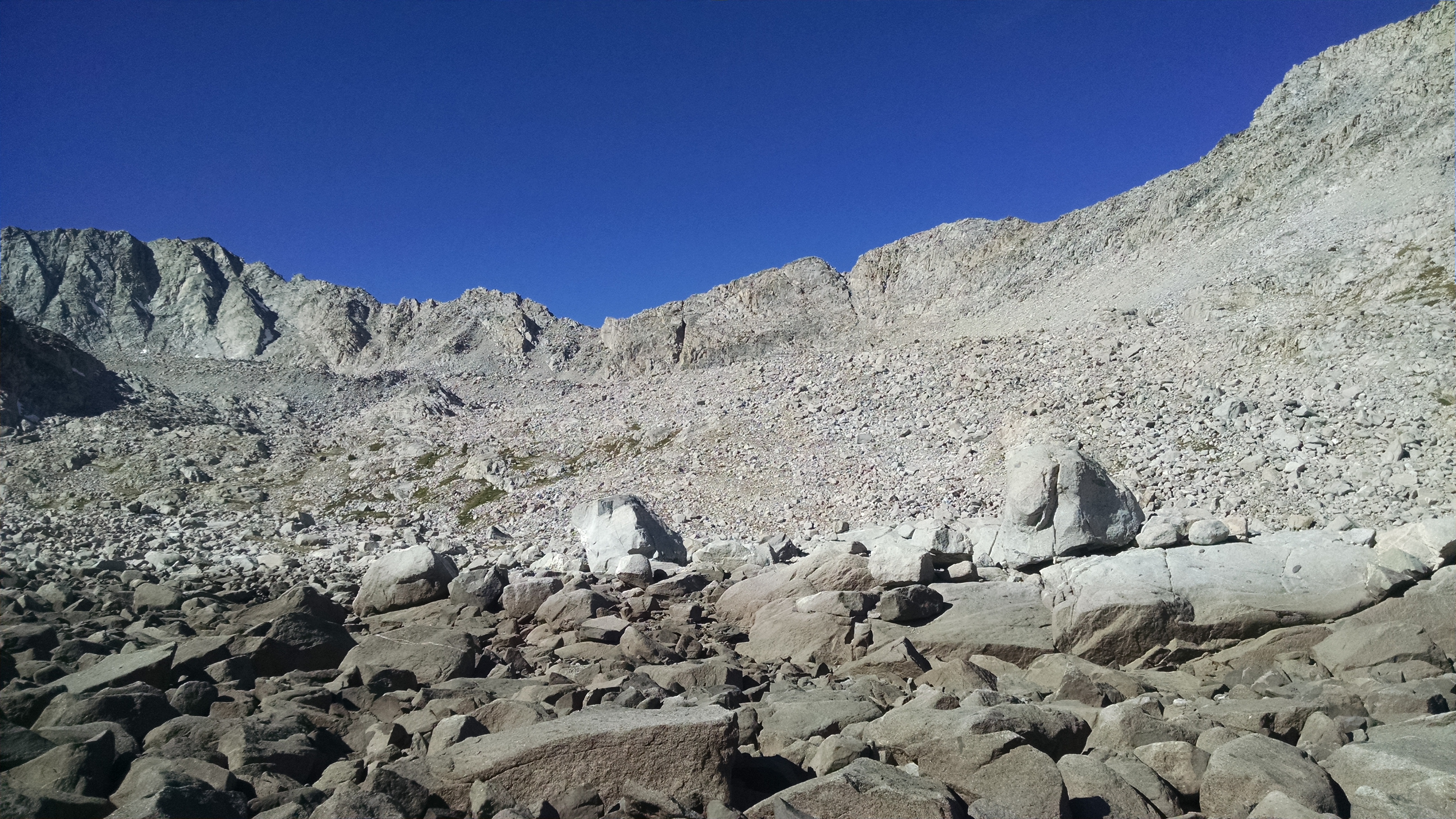
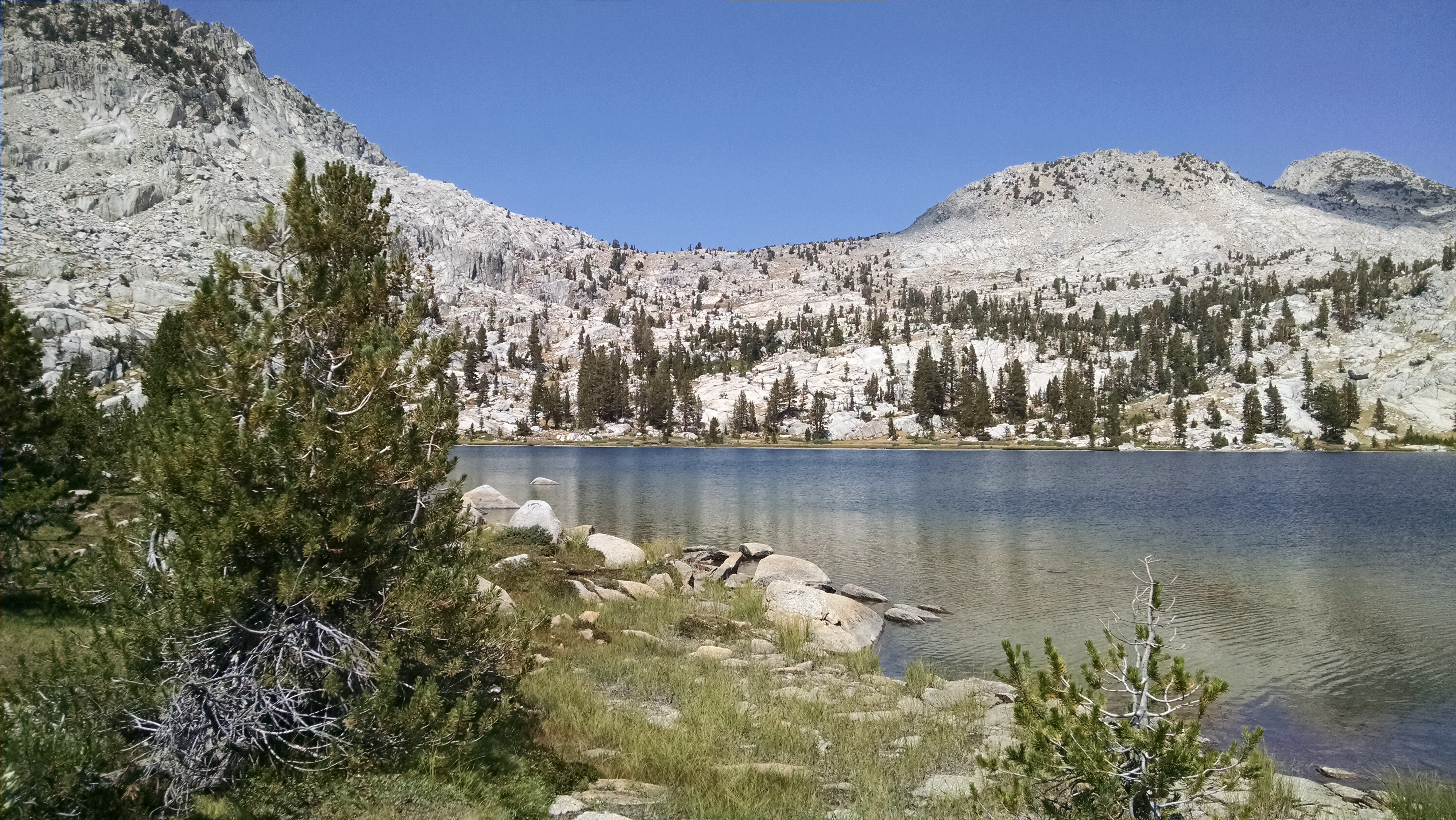
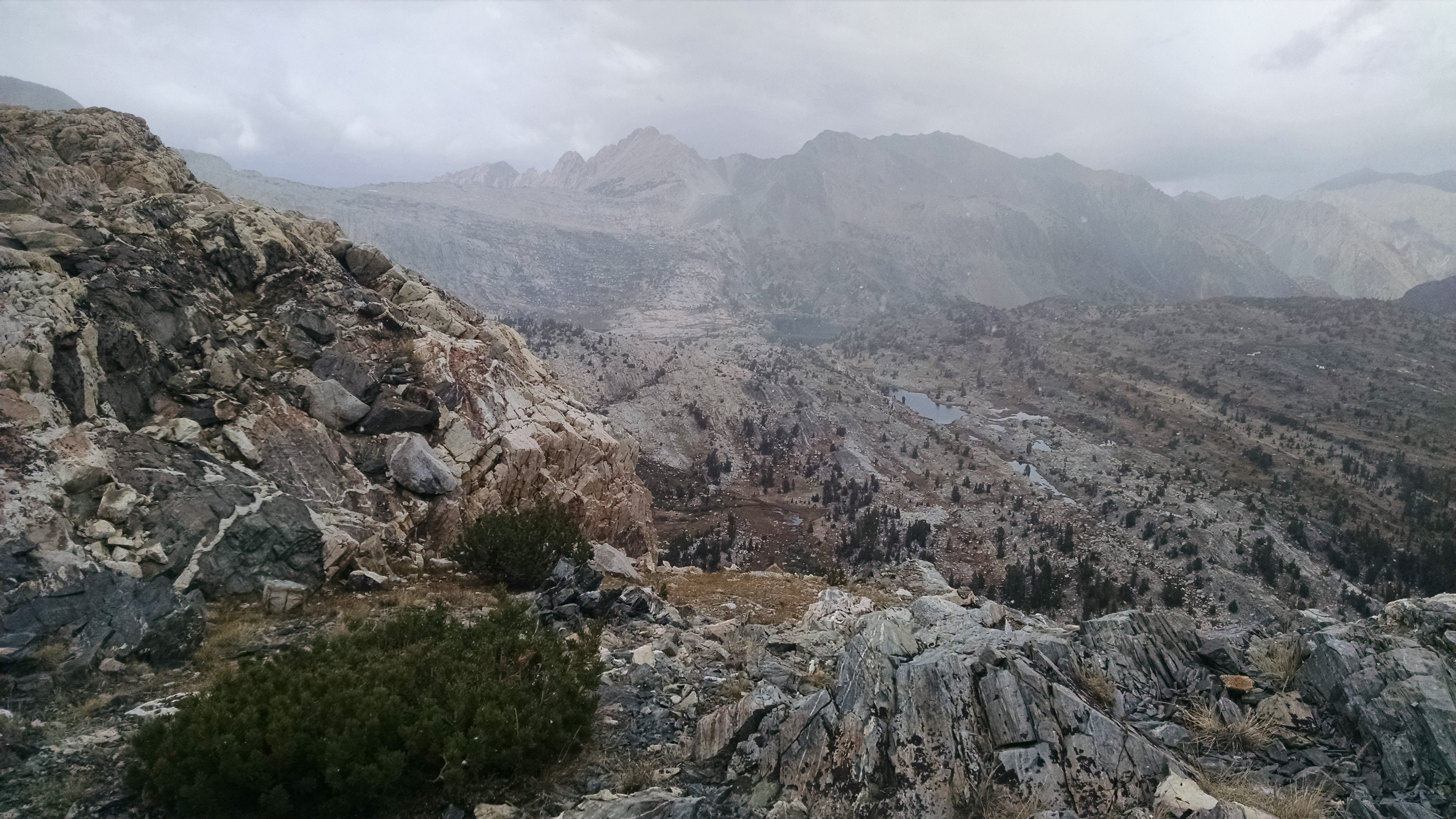
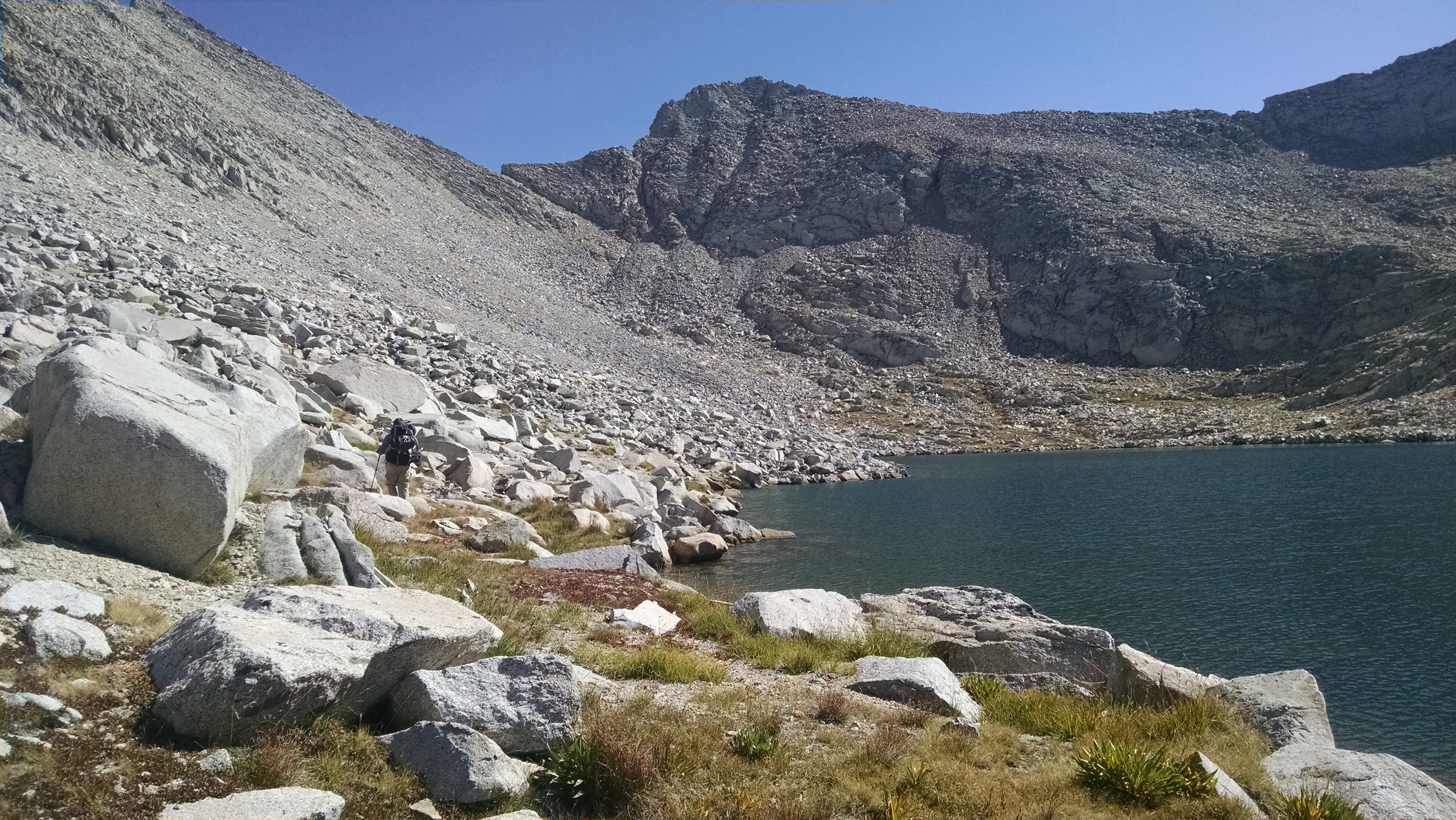
We eventually break out into open granite and I get a second wind. We press up to Soldier Lake, where we fill a water bottle and move on up past Grey Butte. We are now staring across at Stanton Pass. It looks ridiculously steep, with impassible cliffs, but given that this is our 32 pass, and we felt the same way about most of them, we just shrug our shoulders and press on. We dip down to a tarn, where Kevin fills a bottle, and we start up. Our GPS waypoints indicate we should move right, but Kevin likes the look of a ramp/ledge on the left. We traverse to it, and eventually slide into place a little above the pass, but perfectly.
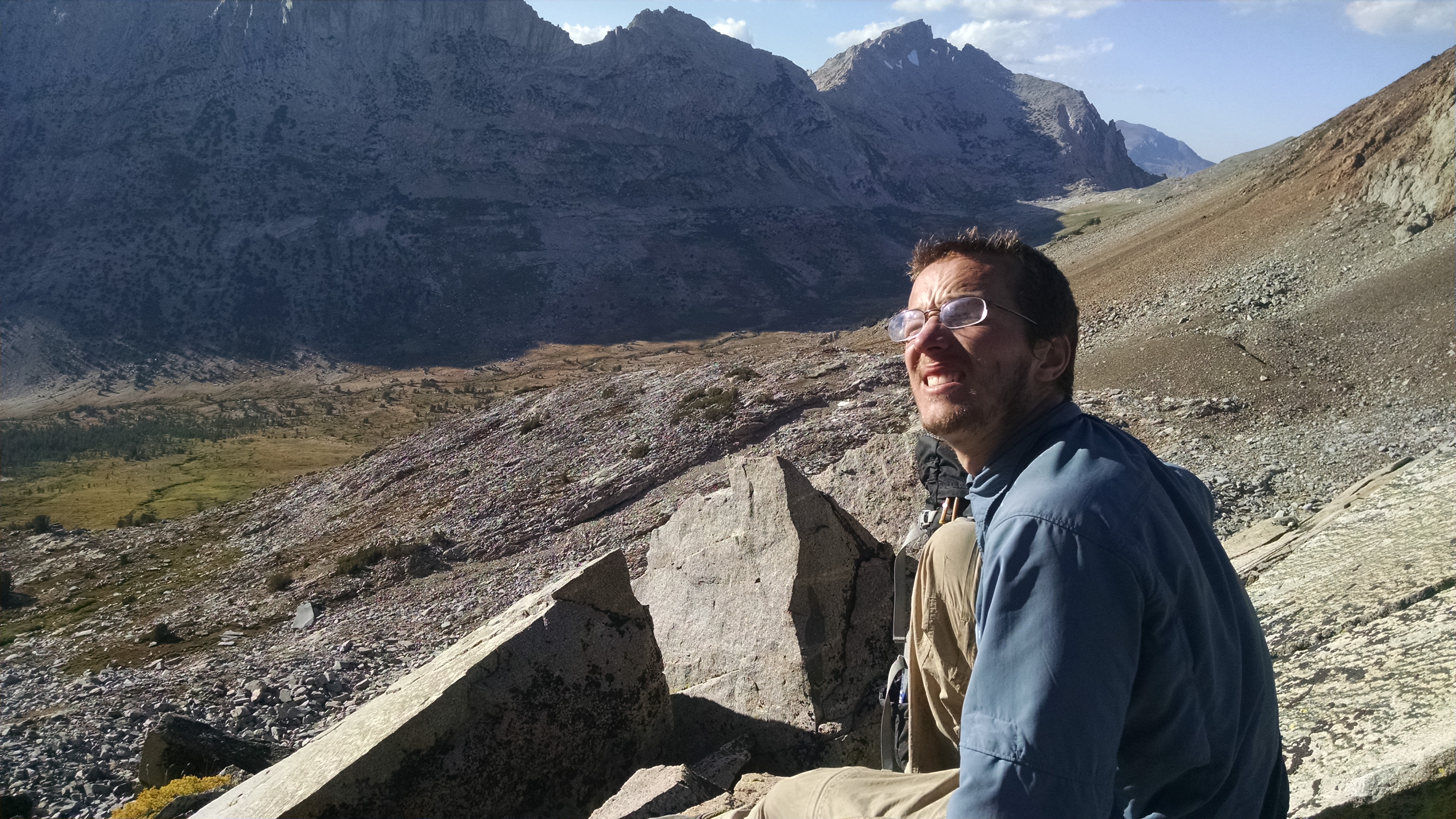
Stanton Pass to Spiller Creek

From Stanton Pass, we can now see Spiller Creek, our goal for the night. Like most passes, the down side seems way worse than the up. There are several “you have got to be kidding” moments. At one point, Kevin falls, flinging one of his trekking poles on an amazing flight. The slope eventually un-slopes a bit, and we struggle the rest of the way down, with Kevin reminding me it is past his mountain bedtime.

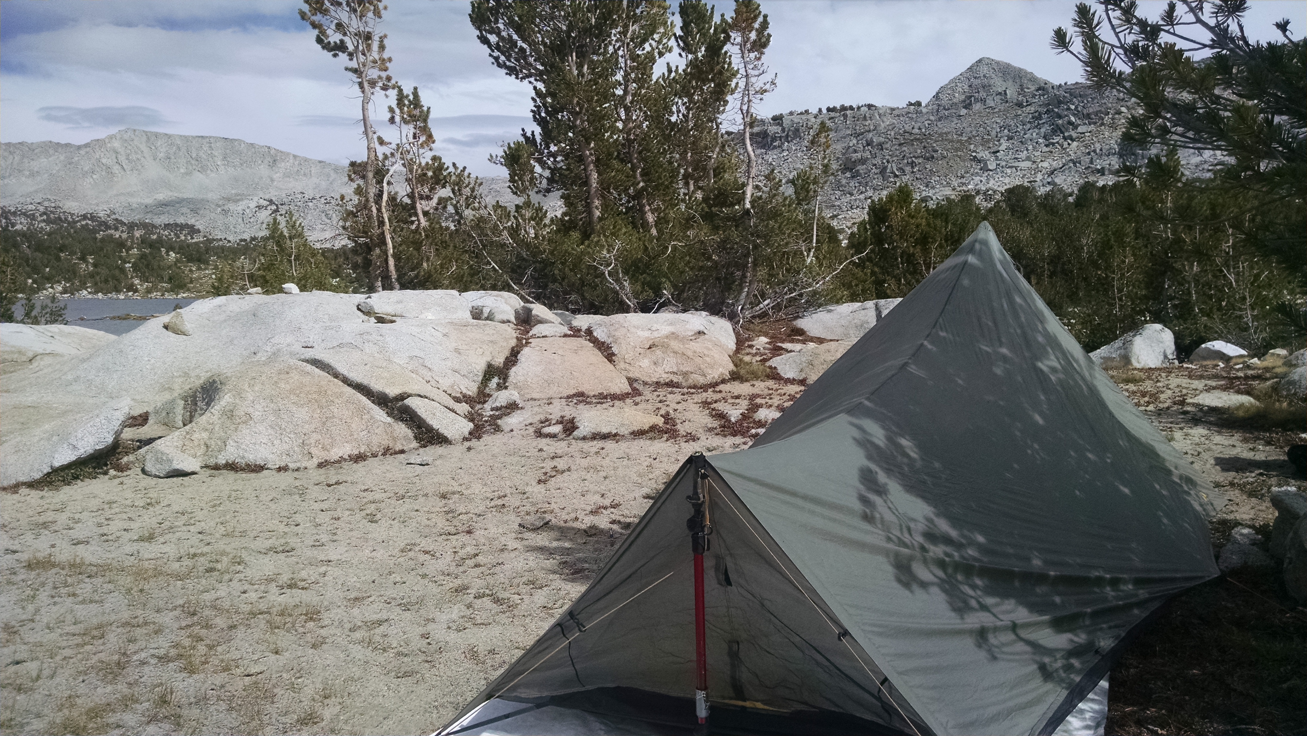
We crash through brush and willows, and find a flat spot in the valley. We setup camp, cook, and retire to bed, knowing we have only one more pass, and we should be done by tomorrow.
SHR Day 18 – Mine Shaft (29), Spuller-Maul (30)

Tuolumne Meadows to Cascade Lake

We again wake in total darkness. Getting any early jump in September is difficult. I pack up and visit the flush toilet one last time. After consuming muffins we purchased yesterday at the store, we now need to get back to the trail. Roper warns of a potential river ford, which given the drought is probably not a problem, but we road walk just in case. The lack of any walking space next to the road, makes it more exciting than the wilderness.

We reach the Gaylor Lakes trailhead and head up. Across a meadow we see a huge black bear. This time there is no confusion with a dog. If the bear stood up, he would look exactly like you’d expect a Sasquatch to look.

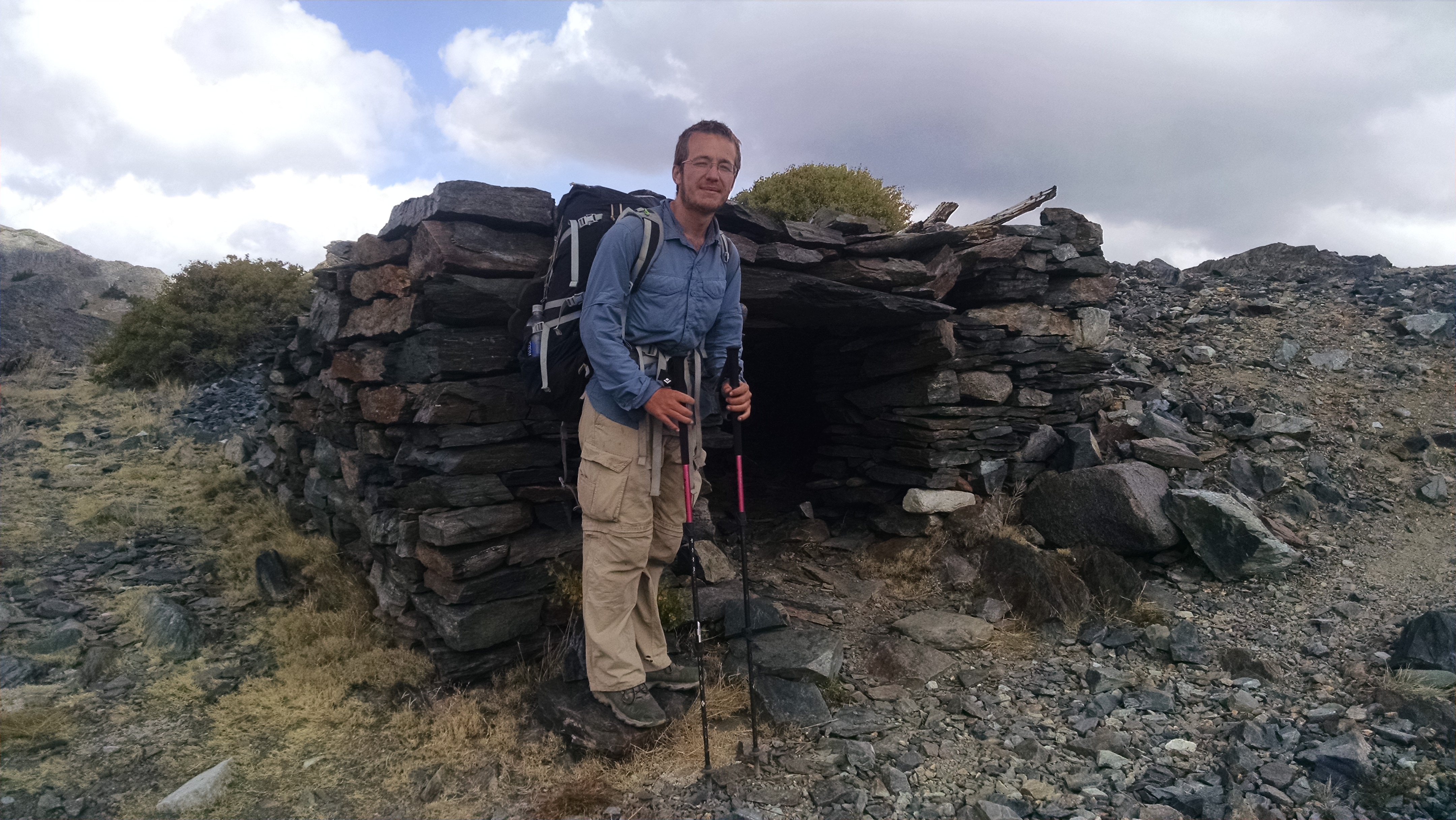
Great Sierra Mine
Great Sierra Mine

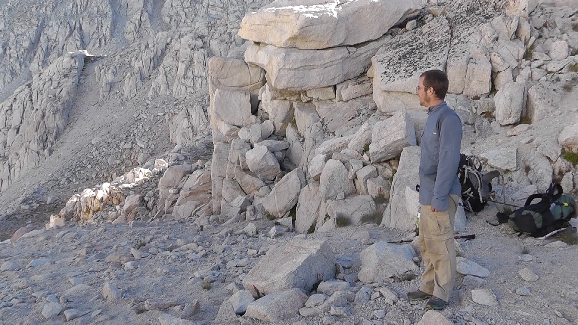
We next work our way up a steep slope to the ruins of the Great Sierra Mine. Rock structures, in somewhat disarray, are scattered about. The walls are extremely thick, which according to Roper means they worked the mine in the winter as well. We go over Mine Shaft pass.

Dark clouds are forming around us. The 40% odds are starting to seem low.

To avoid dropping all the way down to Fantail Lake, we make a massive traverse left, across unstable talus. We then drop down a wacky chute to Spuller Lake. It begins to snow off and on, and the storm is clearly catching up to us from behind. We consider pitching tents and hunkering down, but it is only noon. We agree to push on to Maul Lake and consider our options before facing the Spuller-Maul Pass.

After a snack, we figure we have nothing to lose, other than our lives, so up we go. The snow gets serious, pelting bean bag stuffing, sleet, and fluffy flakes. It is as if Mother Nature is trying to get our attention, but we are not listening.

Spiller/Maul Lake Pass

At the top of the pass, it is clear going down the other side without a flying squirrel suit is not possible. We travel up and to the left, until we find a class 2 chute of talus we can negotiate down. The sky is darkening and the snow intense-ing. We pass by Conness Lakes, and scramble over a small saddle towards Cascade Lake. It is so stormy now, we cannot even see the lake, nor anywhere to camp. We duck into a small rock cave, to wait out the worst, and consider our options. No longer moving, we are now cold, so we snack, change into rain gear and add layers.

At a brief break we pitch our tents, but it starts snowing again. There is an inch of snow now on our tents. Once set, we return to our dry rock cave and cook Indian Curries with rice. The snow stops again, and we slip into our tents. We are well satisfied with today’s milage, but realize breaking camp tomorrow may take longer than usual.

SHR Day 17 – Vogelsang (27), Tuolumne (28)

Lyle Fork to Tuolumne Meadows

I wake in total darkness and begin packing up. I am hoping to get an early jump on what seems like a long day. Kevin, however, seems less concerned. My packing does not seem to disturb him in the least. He eventually comes around, and we are on the trail by 6:30am.

We begin a long upward traverse along spectacular cliffs overlooking Lyell Creek. We are salmon headed up against a sea of Conservation Corp trail workers, coming down to work the Isberg Pass Trail. We eventually come upon their massive encampment, with comically large everything: huge tarp buildings, pots I could climb into and bathe, giant hanging ladles. It reminds me of Buster Keaton cooking in the galley of an huge abandoned ship. Well, I doubt it would remind anyone else, but it does me.

Vogelsang Pass
Vogelsang Pass

We then drop down the zig zaggy switchbacks to Lewis Creek. We snack, with me dreading the long up towards Vogelsang Pass. It takes several more snacks, electrolytes, and Kevin’s patience to get me to the top. After a brief rest, we meander down and over the gentle Tuolumne Pass.

From Tuolumne Pass, the rest of the day is a long, long down by Rafferty Creek. The creek, however, is missing one key ingredient: water. The down is easier on me than the up, but the trail has a nasty design. Every 10 or so feet, there is a massive granite block/drop. I am sure it is designed to prevent erosion, but it is momentous and painfully jarring on my internal organs, which it turns out is most of them.

We drop down into Tuolumne Meadow, and join the PCT/JMT for a march to the campground, and more importantly, the Post Office, store, and hamburger joint. The hamburgers are mediocre at best, but our standards are pretty low. Both our packages are at the PO, so we will have food for the next leg, and a SPOT so Terri will know when and where to get us.

We are now trying to sleep in the $6/person backpackers campground. A ranger is doing his best to host a rousing campfire program about trees, which to us, is way more noise than we actually want. He just told the crowd there is a 40% chance of thunderstorms the next few days. I really do not like this chipper ranger.

Tomorrow we start the final leg of our trip, thunderstorms or not.

SHR Day 16 – Blue Lake (26)

Twin Island Lakes to Lyle Fork

We wake with tents and sleeping bags wet with condensation, making for a slower than usual start. We climb up and around the higher Twin Island Lake, to the outlet. We head southwest around a steep ridge, then head northwest, trying to gain elevation towards an unnamed lake. The steepness of the side slope and required gain is more than I expected. I can feel myself struggling. Today just might not be my day.

Bench towards Blue Lakes Pass
Bench towards Blue Lake Pass

After a snack and break at the lake, we have another massive side slope, where we target a notch on the ridge. It is a mindless talus and scree traverse. The views down into Bench Canyon are spectacular, with one problem; we have to figure out how to get down there. The GPS waypoints make it look like a straight shot, but it isn’t.  We zig zag down loose talus to the bench. Down like this is not the long gentle down you feel like you earned after a grueling up. This was a grueling down.

The bench is relatively flat, so we enjoy a reasonable stroll through beautiful country. The creek is fairly dry, and big trout are trapped in short runs and shallow pools. Kevin again is sure we should give them purpose by eating them.

Blue Lakes from Blue Lakes Pass
Blue Lake from Blue Lake Pass

We then hump it up a much steeper incline to Blue Lake. Black clouds are again forming in the classic Sierra thunderstorm manner. I would love to rest at the lake longer, but we push forward to avoid being caught in lightning, on the treeless pass, holding metal trekking poles. Roper describes this pass as “remarkably easy,” which we seriously doubt staring at it. The boulder hopping and granite slabs seem straight up. Within a half hour, however, we are standing at the top, remarking, if only to give Roper his due.

Talus below Blue Lakes Pass
Talus below Blue Lake Pass

As we scramble down from Blue Lake Pass, it begins to rain. Talus boulders are hard enough to hop dry, but when wet, the fun really begins. We now hear thunder, and the rain thickens, then hardens into out right hail. At the bottom is a small lake and a couple of good sized granite blocks. We set up a temporary refuge under the rocks. We keep our packs and clothes relatively dry, as we make a tortilla wrap lunch. Birds keep flying to our rock shelter entrance, then squawking when they see us. This must normally be their thunderstorm shelter. The thunder and hail are strong enough to keep us hunkered in place for about an hour. This is not helping us with my aggressive mile schedule for the day.

We repack all our gear in plastic compactor trash bags, put on rain pants and jackets, and head out in it. The sky has lightened where we are, but where we are headed it looks like all hell is breaking loose. We plow along a broad plateau, above a very steep cliff line. We push forward, knowing at some point we have to drop down. Kevin, who is well ahead of me, startles what he thinks is a large dog, but I am sure is a small bear. There is, after all, a lot of bear scat around.

We give up on finding a logical way down, and begin illogically plowing down a steep covered forest. Half walking and half falling, we make it to a valley floor. We are suppose to cross the faint Isberg Pass Trail. My GPS shows us right on it, but we never see it. We search wide in both directions, far beyond what we assume is the margin of error. We then track via GPS to the top of the chute where the trail should be, but still can’t find it. Skurka warns us not to go off the trail, which only adds insult to injury. We follow various social trails in multiple directions, but none make sense. Standing on a cliff edge, Kevin sees a clear trail far below, but how to get there is unclear. We have to go back up, and do some serious traversing to finally reach it. By the time we zig zag down the now totally easy trail, we are spent. Far shorter on miles than we had hoped, we find ourselves at a reasonable flat spot near water. It is camp.

Tomorrow we will have to do some serious trail miles to make it across to and over Vogelsang, and down to Tuolumne.

SHR Day 15 – Whitebark (23), Overlook (24), Glacier Lake (25)

Minaret Lake to Twin Island Lakes

Minaret Lake
Minaret Lake

Kevin wakes feeling much better, and we get an early jump on the day. We round the Lake’s east and north shores, then head up a light social trail towards Cecile Lake. Roper instructs us to head for a crevice on the right side of the natural damn. We aim even further right and scramble a much longer and higher class-3 chute, which actually positions us even better to round Cecile Lake. The talus blocks are tedious, but passable.

Chute to Cecile Lake

From the outlet of Cecile Lake we drop down a steep traverse of talus to the right, towards Iceberg. The social trail is completely wiped out by rock slides, but the general idea of what we need to do is clear, and we do it.

Traverse from Cecile to Iceberg Lake

After rounding Iceberg Lake, we begin what is a convoluted route around the massive Mount Ritter and Banner Peak. West of Ediza Lake, we head straight for Ritter. As if juking it, at a tarn we turn 90 degrees, and traverse up and over Whitebark Pass. The north side is again steep talus, which drops us into a bowl above Garnet Lake, but requires us to climb back up an unnamed pass overlooking Thousand Island Lakes.  We push down the pass, and walk northwest along the shore of Thousand Islands, where we then pivot 90 degrees, now heading southwest up towards Glacier Lake Pass.

Garnet Lake from Whitebark Pass

We break for a tortilla wrap of salami, cheese, and Fritos, which is amazingly good. The canyon towards Glacier Pass starts gently. We come upon thee beautiful bucks, with decent racks. As we reach higher, the grass reverts to massive talus blocks, and we aggressively boulder hop, passing a couple of women hikers along the way.

Lake Catherine
Lake Catherine

Over the pass is Lake Catherine, where I thought we might camp. The campsites are not good, and Kevin is up for pushing on to Twin Island Lakes. We rock hop around Lake Catherine to the outlet, where the world drops off significantly. To avoid cliffs, we stay right and navigate various ramps and ledges, with occasional class-3 mini chutes. We then start a long traverse towards Twin Island Lakes. Black clouds roll in, and it begins to lightly rain. I am not crazy about the steep slope on now wet stones, but it never rains too hard, and we eventually make it.

We are exhausted, but need to setup camp, filter water, and make dinner. On and off it rains as we work our chores. We have Mac & Cheese, which Kevin kicks up with garlic salt, chopped salami, sliced Jarlsberg and parmesan cheese.

As we lie in our tents, it continues to rain lightly.

SHR Day 14 – Nancy (21), Inconspicuous (22)

Mammoth Lakes to Red’s Meadow to Minaret Lake

The Mammoth Lakes Cab is to pick us up at 7:15 am. We wake in time to pack and make another dash to Schat’s Bakery across the street. We share cinnamon rolls and a lemon poppy seed muffin. I am pretty sure it is not as good as the Schat’s in Bishop, but it is way better than the one that does not exist in the wilderness.

Our cabby races us back to that Schat’s-less wilderness, in a van clearly in need of struts. We plod up the seven miles of trail before reaching Superior Lake, our exit for more cross country fun.

As we filter water at the lake, we are confused. We can see two passes, a major saddle to the left, and a minor player to the right. It appears from distant patches of packed sand/scree that both have been climbed. Roper’s description favors the left saddle, but Skurka’s maps and GPS waypoints suggest the right. Roper’s looks harder than Andrew’s, but since Roper designed the High Route, we go with his.

From Nancy Pass
From Nancy Pass

The willows and brush make scrambling up the real Nancy’s Pass one of the most frustrating yet. Controlled falling through brush on your way down from a pass is one thing, but trying to throw yourself up it is quite another. The heat, the bushes, and the steepness is taking its toll. We curse Andrew for taking the easier pass, and we curse Nancy, well just because.

Kevin is starting to feel poorly. We are not sure if it is heat exhaustion from Nancy, something he ate, or something he didn’t eat (Ben & Jerry’s milkshake). After the pass, we take more breaks and travel slower. We pass over the “Inconspicuous Saddle.”

We reach our primary goal of Minaret Lake, but decide to pass on any bonus miles. Kevin rests in the shade, while I pitch my tent and filter water for both of us. Some neighbors, large men who clearly arrived via the Minaret Lake Trail and not the cross country route over Nancy Pass, have decided to go skinny dipping. To be clear, skinny is not the right term, and this dipping is not helping Kevin feel any better.

We cook Indian curries, which you might not have picked for someone feeling poorly, but the curries are our heaviest dinner, so they are the first to go.

Kevin pitches his tent and retires early, hoping to feel better in the morning. I am hoping he does so too.

SHR Day 13 – Zero Day

Mammoth Lakes Zero

I wake and shoot across the street to Schat’s Bakery. I capture and return with a bear claw and apple fritter. It is merely a stall tactic, until we can get to a breakfast cafe for four-egg omelets and hash browns.

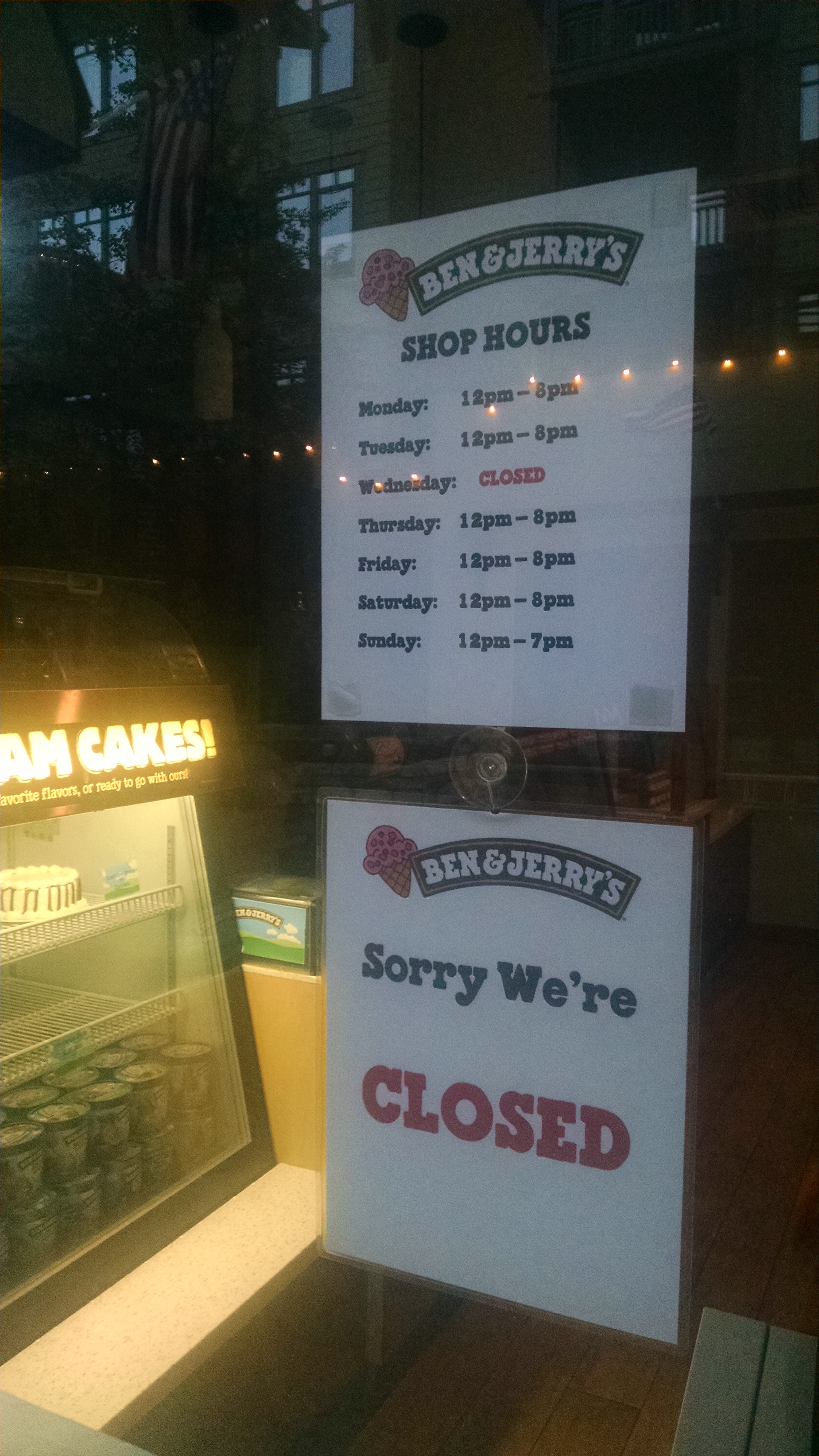
Ben and Jerry's closed again!
Ben and Jerry’s closed again!

Terri has agreed to purchase a SPOT replacement at the REI in Dublin, then ship it general delivery to the post office in Tuolumne Meadow. Assuming that all works out, she should be able to track our last leg of the trip, and pluck us from the wilderness on re-entry.

We sort our food, make a few additional purchases, and relax with the television satiating our intellectual hunger like Saccharin cures a sweet tooth.

After having passed 20 passes, I am beginning to understand the High Route. Completing the High Route is a lot like touring the hilly city of San Fransisco. That is, if while touring San Francisco, you avoid the cafe-lined streets, and instead climb over all the medium size buildings. You scramble up fire escapes, walk on window ledges, and hang from rain gutters to pull yourself onto the roof. Oh sure, the crowds are thin and the views are spectacular, but the views from the ground were pretty cool too.

We arrange a cab pickup for tomorrow morning, later than we want, but as early as we can get. We go back out for a light taco dinner, and to collect those evasive Ben & Jerry’s shakes. The tacos are great, but B&J closes 4 minutes before we get there. You have got to be kidding!? We hit a local shop and grab a pint of caramel ice cream, and talk about the ones that got away.

SHR Day 12 – Mammoth (20)

Duck Lake to Red’s Meadow to Mammoth

We wake early, with pizza on the brain. The climb out of Duck Lake is pleasant, but we are changing out of our jackets before we reach the pass. From there we travel along the Sierra Crest for the first time on the High Route. Views to our right are of the eastern Sierra, to the left the western. The ridge is relatively open, with mostly brush and loose slate to navigate.

Deer Lakes
Deer Lakes

We hump it up a small pass and drop down on Deer Lakes. We were warned that this is our last water until Red’s Meadow, so we camel up, and carry a liter each.

From the lake we follow a steep pack trail back up to the crest. Cruising along the top of our pumice filled world, we can see down into Mono County. Eventually we can see Mammoth Lakes. I quickly check for cell coverage, and have it for the first time on the trip. I call Terri, and she reports that Eric did call with news about the SPOT and our actual well being. Nice going Eric!

Mammoth Lakes
Mammoth Lakes

Huge cliffs to the north require that we traverse left to a steep sand slide, down a wide chute. Each step involves placing your foot forward a few feet, then sliding a few feet more. It gives that sensation you get when walking on an airport moving sidewalk, each step propelling you further and faster than it should. We have no idea how someone could walk back up it.

We eventually rejoin an actual trail at Mammoth Pass. We practically fly down, gliding through the massive tree blow down I referenced in my PCT blog. Kevin had never seen it, and it really is quite startling. The shortcut to Red’s Meadow was anything but, but we get there just the same. I am shocked to see the Eastern Sierra bus. It turns out that today is the last day it is running. We quickly grab our mailed package, and purchase our $7 round trip ticket. We will not get to use the return portion, and are warned the one-way cab fare back will be $75. Ugh. Oh well, Mammoth here we come.

We catch the local bus and trolley to the same Motel 6 Dish Cloth and I stayed in during my PCT thru-hike. We order a pizza delivery, because while washing our clothes, we have nothing to wear.

I call around to all the sporting goods stores, but no one has a replacement SPOT. Without one, I am not sure how Terri will know when to pick us up in Twin Lakes. We also need a replacement Sawyer Squeeze bag, but strike out there as well. We finally hike to a Ben & Jerry’s for shakes, only to discover they are closed on Wednesdays.

We fall asleep knowing that tomorrow will be a relaxing zero.

SHR Day 11 – Bighorn (18), Shout-of-Relief (19)

Laurel Lake to Duck Lake

Because of mosquitoes, I had closed up my tent flaps tight, and now wake up paying the price in condensation. I pack up everything wet.

Bighorn Sheep Pass from Shout-of-Relief Pass

We finally agree on what Roper means by “Leave this body of water near the two massive granite blocks adorning its northwest shore and ascend precipitous, grassy slopes,” so we climb with some level of confidence. It is the ultimate grassy stair stepper, but we reach the top of Bighorn Pass in less than an hour. Our next pass, Shout-Of- Relief, is at a similar elevation, but way around an “S” shaped contour. Traversing to keep elevation is tricky, and a few times we get cliffed out and have to scramble hand and foot up ridiculous terrain I doubt Roper intended. Nonetheless, in about another hour we are standing at the pass, but Kevin refuses to shout, either in relief or agony.

On Shout-of-Relief Pass

We then scramble down, keeping to the left of several lakes. The drops involve a mix of granite slabs and steep thick forest. You quickly realize there is no perfect route, and you measure success by movement. Don’t admit your routing mistakes, just keep going quickly.

We eventually crash our way into Horse Heaven and an actual trail. We now race down to Tully Hole, where we filter water and enjoy snacks. We rejoin the John Muir Trail for about six miles. The first, of course, is straight up exposed switchbacks.

Because of the whole SPOT situation, and the fact we have neither showered nor done laundry in 10 days, we decide to zero in Mammoth. The bus from Red Meadows is no longer running, so we will have to figure out transportation when we get there late tomorrow. In the mean time, Kevin keeps listing toppings he wants on his pizza.

Virginia Lake
Virginia Lake

We push by Lake Virginia and Purple Lake, on our way to Duck Lake. Camping is not permitted within 300 yards of the lake inlet. In Roper talus field measurements, that would be something like 3 miles. There are lots of people here, and flat spots are at a premium.

Duck Lake
Duck Lake

Tomorrow we again leave the trail and will reach the actual Sierra Crest for the first time, at Mammoth Pass. Kevin, however, will be more interested in a Sierra crust at a Mammoth pizzeria.

SHR Day 10 – Gabbot (17)

Lake Italy to Laurel Lake

Last night I read to Kevin that Roper considers the Lake Country as the easiest of the five sections. For example, “The hiker will experience occasional talus, but only for a few hundred yards at a time.” We can use a little easy, as we attempt to get to Reds Meadow early, make some calls and start the Obama-like “we lost our SPOT” apology tour.

I wake later than normal, but given I have no SPOT to remember to turn on, we can make up some of the time.

Gabbot Pass
Gabbot Pass

We round the north side of Italy Lake, past the toe, and press up what should be gentle granite slabs. Gentle is not exactly how I would describe it, but we eventually reach the top of Gabbot Pass. As promised by Roper, the view is not much, as the pass is boxed in. We do see, however, a small plane flying along our route, lower than anything we have previously seen. We assume it is my dad, sitting in the seat next to the head of Search and Rescue. Oh, why did that SPOT fall off?

Lower Mills Creek Lake

On our way down from the pass, we question Roper’s measurement skills. Clearly these jumbled talus fields are way longer than advertised. We pass Upper and Lower Mills Creek Lakes. The steep trip down to the Second Recess is a complete disaster. We crash through impossibly thick brush, willows, and Quaking Aspens, though we are clearly doing most of the quaking. We cannot even see our feet, but if we don’t push on hard enough, the brush throws us back up the hill. We can see from broken branches and occasional footprints that others have gone this way, but they were clearly not the top of their class, and likely rode to school in the short bus.

We eventually reach a light use trail that improves with time. We reach the bottom at Mono Creek, then work our way up the Laurel Lake trail. I am not sure what it is about switchbacks, but some trail builders have clearly never heard of them. The first mile or so is straight up, through exposed manzanita. Kevin is patient, but I am bonking. It takes a Snickers and liter of water to drag me up.

Laurel Lake
Laurel Lake

After the trail eventually levels out, we pick up steam and make it to Laurel Lake, which is boiling with fish. Kevin is sure catching and adding them to our bean burrito diner, would give new meaning to their lives.

We pray Eric and Jorge have kept their promise and called Terri and my Dad with the good news – that we are alive and doing fine. Otherwise, I may get killed.

SHR Day 9 – Feather (15), White Bear (16)

Elba Lake to Lake Italy

For some strange reason, Kevin and I had been discussing a theory that one reason we have become an obese society is that we no longer allow ourselves to be cold. Well last night we did our best to bring down the weight average, because we froze all night.

We wake as if in little snow globes. When we touch the side of our tents, flakes of frozen dew and condensation fall onto our sleeping bags. We pack up frozen, knowing as we hike it will melt into a wet mess. We wear most of the clothes we have, including useless and freezing gloves. Alas, we press on down through a thick forest, towards the sound of a cascading falls. By the time we reach it, we are overheating and have to strip. It is amazing what a difference a half hour makes.

We work down to a little used trail going up to Merriam Lake, which both Roper and Andrew Skurka describe as a steep trail. They are right about steep, but I think fall line is more accurate than trail. We are rewarded for our effort with three bucks. After smelling us, however, they wander off.

Feather Pass
Feather Pass

We work our way by a few lakes, including La Salle, before facing our primary task: Feather Pass. Roper’s descriptions often frustrate me. “Ascend a headwall via an obvious cleft” causes a fair amount of discussion, but little agreement on exactly what it means. We stare at a jumble of rocks and cliffs. We push on, unclear.

Looking down from Feather Pass

After reaching the top, we are further enlightened with “Careful routefinding in this short section pays off; otherwise you may encounter a few class 3 dropoffs.” I am pretty sure that sentence can be randomly inserted into any paragraph in his book, to the same effect.

The boulder fields seem to go on forever. We eventually work our way through Bear Paw and Ursa lakes.

At a rest, I realize my SPOT tracking device is no longer attached to my pack. I had double strapped the SPOTs carabiner to different parts of my pack in case one ripped. The carabiner is still securely attached, but not the SPOT. We of course have no idea when it came off, nor where it is now. Ironically, my wife and parents know exactly where it is, and probably assume I am still attached to it. I hope they realize since we did not press the emergency button, we are fine, but we have no way to tell them.

We come upon two hikers, Eric and Jorge, who will be back in civilization (cell phone range) by tomorrow night. I give them Terri’s cell number and my Dad’s home number with instructions to tell them the SPOT fell off, but Kevin and Rick are fine.

Looking back at Whitebear Pass

We press on, full of guilt, but with no ability to do anything about it. After White Bear Pass, we push on to Lake Italy, a lake Roper describes as ugly. Kevin and I think it is just fine. If Roper wants to see real ugly, he should join me when I try to explain to my wife how I lost the SPOT.

SHR Day 8 – Snow-Tongue (13), Puppet (14)

Frances (“11092”) Lake to Elba Lake

Looking back at Snow Tongue Pass

We wake early to start our climb of the dreaded Snow-Tongue Pass, always described in the top three most difficult. The south facing side is deceptively easy, at least relatively. We trudge up rather quickly. At the top of the pass, the straight down chute can only be described as: “Shoot no!” Higher to the right is a slightly less insane chute, which can be described as: “Well shoot, we came this far.”

Because of the loose rock, only one hiker should go at a time, and I guess my time has come. I begin down what can only be described as a series of slightly controlled avalanches. Hand holds, trekking poles, foot holds, everything is tried, and occasionally some work. I move left into another chute, out of the direct fall line, giving Kevin a chance to try his luck in the first.

Things seem to be going fine, until I hear a huge crashing rock slide, and massive boulders scream by on their free fall journey to the bottom. I yell for Kevin, but he cannot hear me. I yell several times, and eventually the sound of the careening boulders dissipates, and I can hear Kevin. His attention is heightened, but he is fine. At the bottom we stare back, wondering how anyone climbs up this side.

Boulder Field Below Snow Tongue Pass

The avalanches are now over, but the seemingly endless miles of talus boulder hopping has just begun. We get into a rhythm, bouncing slightly under control from boulder top to boulder top, hoping not to slip between, twist an ankle or crush a femur.

We continue to drop down towards Wahoo Lakes. Will this ever end?

We eventually break through and make a descent into, and a climb out of, Humphrey’s Basin. As open as it seems, we cannot see the lakes we are instructed to go between, because they are above us. Roper’s tip is not quite as helpful as it might have been. Once past Mesa Lake, Roper instructs us to climb a wedge to the northeast. Although the views are spectacular, it leaves us hanging, trying to figure out how high we have to climb to find a safe ledge back west to Puppet Pass. Having to come down in elevation to get to the pass is a little frustrating, but we make it alive, which is a clear plus.

Puppet Lake from Puppet Pass

The north side of Puppet Pass looks just a little too much like Snow-Tongue Pass. It is steep! There are black clouds all around us, so we are motivated to move on. As we descend, however, we realize what a difference stable talus can make. We do not experience the rock slides and avalanche rides from the previous pass.

We scramble down past Puppet Lake, and drop further to our targeted camp at Elba Lake. We are early, but if it is going to rain, we want our tents set up first.

Camp near Elba Lake
Camp near Elba Lake

While filtering water Kevin drops his bottle lid, which magically travels into a deep rock crevice. When he shows me the problem I say, “Well we aren’t getting that out.” Kevin replies, “Your dad would not give up so easily.” He is right. I go get his tent poles from camp, and after some prodding, manage to free the cap. Thanks Dad, for the motivation.

The clouds are blowing in and out, unsure of what they are going to do. But we know what we will do… sleep soundly.

SHR Day 7 – Muir (12)

Le Conte to Lake “11092” Frances

We wake and return to our trail Stairmaster. Muir Pass is our first target. Roper describes it as the only place on the entire High Route where you cannot see any trees or plants. This of course means every time we walk by a tree or plant, we know we are not anywhere near the pass, nor can we even see it from here.

There are hordes of people enjoying the landscape, so it is clear we are on a major scenic trail. Mindless “How are you doing?”s are responded to with equally mindless “Great, isn’t it beautiful?”s.

We pass beautiful Helen Lake, named after one of John Muir’s daughters. Later we will pass not nearly as beautiful Wanda Lakes, named after another of John’s daughters. She must have been the one with personality.

Muir Hut
Muir Hut

At the pass, we knock on the Muir Hut door, but John isn’t there. We were secretly hoping it had been converted to a Pizza Hut, as we are now starving most of the time.

We push on down the trail, with down being the key word. We stop at Evolution Lake for a rest and snack. We are about to leave the trail to traverse 3 miles to the lake known by its elevation”11092″, or as Roper refers to it, Frances. What Roper describes casually as a traverse across various ramps, turns into a thick forested obstacle course jungle of guesses and second guesses.

Lake Frances below Snow Tongue Pass

We eventually reach the lake, though the scramble is much more physically and mentally exhausting than anticipated. We have dinner to the sounds of howling coyotes at the base of Snow-Tongue Pass. Snow-Tongue is one of the scariest on the trip, and the coyotes are just setting the mood.

SHR Day 6 – Bishop Pass Back

Long Lake to Le Conte Canyon

Dropping Into Le Conte

It is surprisingly windy and cold below Bishop Pass. We hit the trail by 6:30am, wearing more clothes than usual when walking. We push hard through the granite Stairmaster, reaching the top by 8:00am. The views are awesome, but we now face an elevation drop from about 12,000 feet down to 8,700. The steep decline is easy on the lungs, but devastating to the knees and ankles. A huge inviting water slide parallels us down the incline, but ends in a giant log jam, which puts a sudden end to our fantasy ride.

At the bottom, we turn right on the John Muir Trail, and head back up. Our time in lower elevation is quickly ended. We enjoy plenty of mule deer and cascading water. We stop for an hour to soak our feet, and rinse out our salty sweat coated shirts. It is a silly venture, because we have plenty more up today, but it feels awesome, if only for a while.

We find an early camp, set up, pump water, and cook. Tomorrow we will tackle Muir Pass.

SHR Day 5 – Bishop Pass Out

Dusy Basin to Parchers Resort to Long Lake

Yesterday, hiking along Dusy Basin on a mishmash of social tails, we expected to cross Bishop Pass Trail, but never did. Confused, this morning we push on thinking we have got to cross soon or we have gone too far. Well, we have, and we have to double back. Not a great way to start an otherwise beautiful morning.

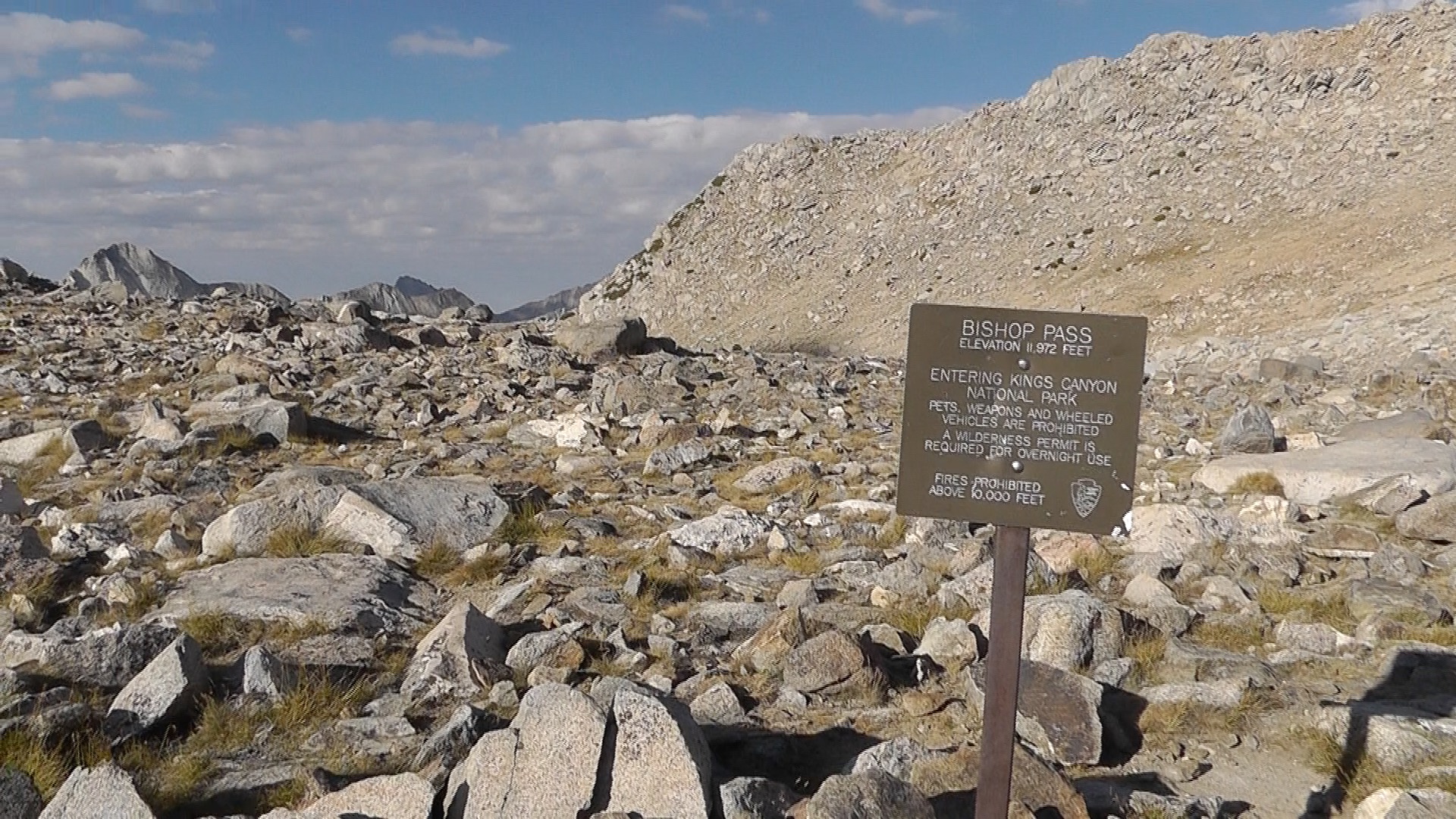
Bishop Pass
Bishop Pass

We hump it over Bishop Pass (which is a resupply side trip, and not one of the 33 SHR passes). We then make the long journey down towards Parchers Resort and our waiting package. The trail feels longer and steeper than expected, but it is probably just my feeling of dread that we will be hiking back up this tomorrow.

We pass beautiful lakes, then make a miserably hot road walk to Parchers. They have our package. From the looks of it, they either wrestled it away from a bear, or backed over it with their truck. It has our next 8 days of food, so we take it with a smile.

We are too late for the breakfast buffet, but the guy says we can still have it if we want, because he hasn’t put it away yet. Kevin is not convinced that being left on the counter way past its time should be the leading selling point. As we check out the spread, the ratio of food to salmonella is not in our favor. Instead we examine the store/refrigerator. Clearly the fish here are better fed than the people, as there is a wider variety of bait worms than anything else. We choose a soda and ice cream bar, plug in our electronics for a sip of energy, and sort our food.

With no reason to stay at Parchers, we push back toward the pass. Every step is one we will not have to make tomorrow. We meet a woman carrying a handful of leashes and walking two loose dogs. She tells us she is looking for a third dog, who has wondered off. She keeps yelling at the other dogs to stay close. I am not sure what she thinks the dog-less leashes in her hand are for. She then mumbles, “Well I guess I would have heard her squeal if she had been…” her voice trails off. On that note, we also trail off, beginning to understand why the missing dog made a break for it.
We stop early at Long Lake, leaving the rest of Bishop Pass for tomorrow.
SHR Day 4 – Cirque (9), Potluck (10), Knapsack (11)

Palisade Lake to Dusy Basin

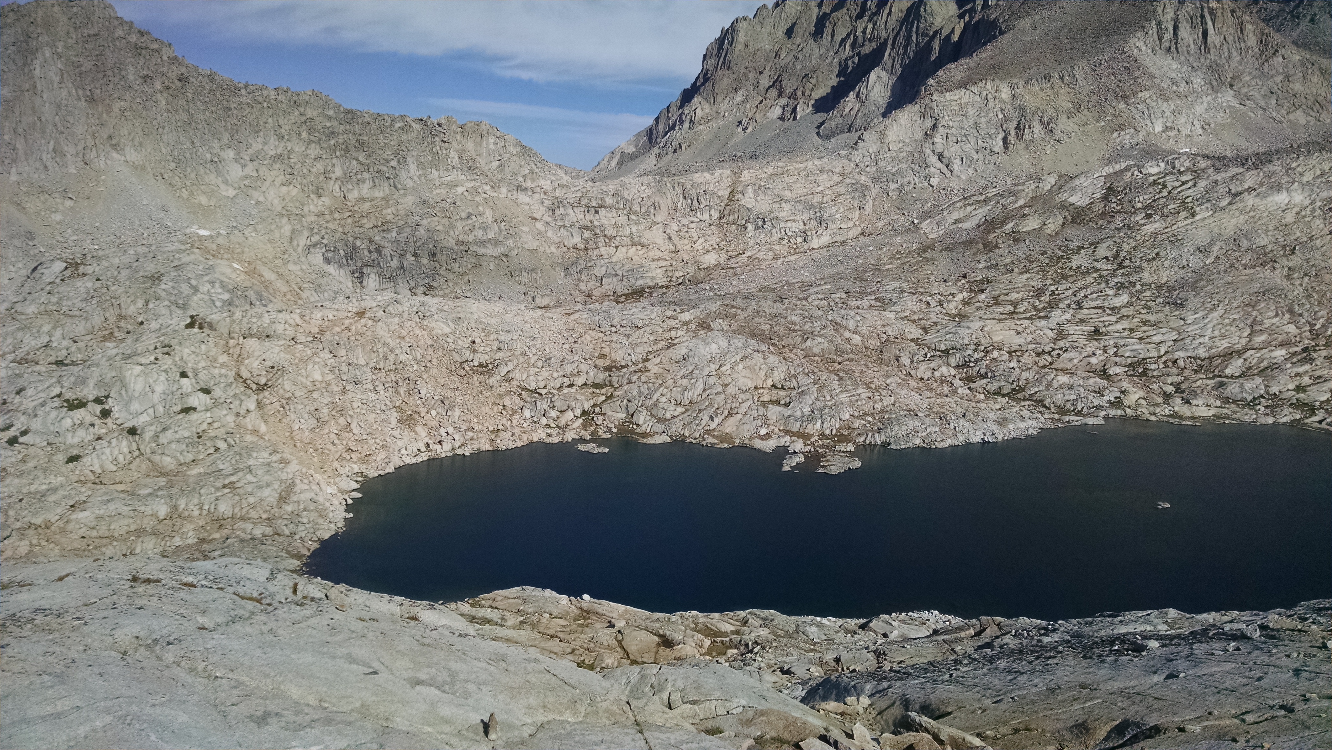
We wake, have breakfast, and enjoy a little more actual trail. We move above and along the trout filled Palisade Lake, looking for our trail exit and climb up Cirque Pass. We follow a social trail for a bit, then lose it completely. Our scramble up is massive. We keep looking back at the Palisades Lakes, impressed with our progress. We pass one tarn, then finally reach another. Surely we should be near the top, but we are in fact only half way.

Potluck Pass viewed from Cirque Pass

From the top of Cirque Pass we stare across to Potluck Pass. Every sentence starts and ends with, “You have got to be kidding.” We read Roper’s notes over and over, yet nothing makes sense. What is he talking about?! We can see how to get down from this pass to the lake, but after that, the up looks like impassable scree with impenetrable cliffs at the top. We press on, totally unsure.

While at the bottom, we see southbound hikers on a cliff. They zig zag down seemingly impossible ledges. We watch to learn and reverse their magic tricks, but then they get stuck. Seemingly cliffed out, they are now stalled. We decide to get higher up the scree on the left than where they are stalled, before moving on to the invisible ledges. The scramble up the slippery and loose sand-rock is frustrating and heart pounding. Unsure what is above, or how far we need to go, we toss our poles up and keep climbing. Between the hand holds and foot holds, we need at least one of them to be working at all times. We finally scramble on the ledges to the right and zig zag to the top. Perhaps because of our route, or inability to comprehend Roper’s instructions, we agree this was far scarier for us than Frozen Lake Pass.

From Potluck Pass we traverse and try to maintain as much elevation as we can to reach and go over what is described as an inconspicuous pass. We then drop way down to the largest Barrett Lake. We are told to go around the east and north sides of the Lake, which we dutifully do, but continue wondering why we should not go around the closer south side. The social trail around the far side of lake more than makes up for the extra distance, but the cliffs guarding the outlet are the real reason for the recommendation.

Kevin’s ankle has been bothering him. We rest at the smaller Bartlett Lake, soaking our feet and enjoying snacks.

Looking at Knapsack Pass

Looking up at Knapsack Pass, we can see obvious and relatively easy ramps way off to the left. But to reach them, we would have to descend, and frankly we are not in the mood. Instead we scramble hand and foot over boulders, as though we are climbing a crazy cubists stone ladder. Our trekking poles are completely useless, and frankly in the way. I am not sure anyone else has ever taken this particular route, but we were to the top much faster than expected.

Looking down on Dusy Basin

Our drop down to Dusy Basin is relatively easy. At every turn another ramp magically appears, right when we need it. Instructed to stay high to avoid the boulders and willows, we make the long and tedious walk passed the chain of Dusy Lakes. We target the final one, which is closest to the Bishop Pass trail, our resupply exit tomorrow.
SHR Day 3 – Frozen Lake (7), Mather (8)

Marion Lake to Palisades Lake

We wake a half hour earlier than yesterday, but the other father and son team beat us out. Which, based on their 12-day schedule, they needed to do.

After a quick Pop-Tart, we work our way into Lake Basin. We are targeting an “L” shaped Lake, but the way seems ridiculously steep. We hold left and hump it up a non-Roper route, which ends up on a passable ridge. Our unauthorized maneuver, however, probably changes our angle for Roper’s next instruction. We make towards the lower right of the pyramid peak, which should put us in line with a talus lake, but we do not see it. We can go way right to a chute we think is below the unnamed lakes, or we can hold our line up what appears an easier approach from below Frozen Lake. We take the easy route. Once around the ridge we realize it is not so easy, and we are cliffed out. Rather than admit our mistake we push right and up a steep ridge, requiring hand holds, and cursing. What could be a disaster ends up great, as we slip back into our easier route just above the cliffs.

Frozen Lake Pass
Frozen Lake Pass

We are higher than the unnamed lakes, but crest nicely right near Frozen Lake, which is clearly a lake, but far from frozen. Frozen Lake Pass looks absolutely ridiculous. From our vantage point it is clear no human should attempt it. We hear, and eventually spot about half way up, the 12-day father and son team. Realizing we now have no excuse, we finish our snack and push on. We zig zag over loose talus blocks, sending several on adventures of their own.

I had read a previous article about someone who reached the top of Frozen Lake Pass, and was so frozen with fear, he refused to pass over and down the more difficult side. As we watch the father and son team enter the final chute, we wonder if they too will return shaken.

Looking Down From Frozen Lake Pass

When we do finally reach the chute ourselves, I see the top of a hat moving at the pass crest. Oh my goodness, they are either taking a longer rest at the pass than we expected, or the pass really is un-passable. At the top we are greeted by a completely different south bound hiker. The father and son had passed on, and since we do not see them piled in the nasty talus below, we assume they did so rather successfully. The way down from this pass is awkward, unstable, and avalanche prone; but none the less doable. Doable is becoming a key phrase for us. Enjoyable, not so much.

At the bottom of the pass, I err and keep us too far left, pushing us to a wall of cliffs, rather than the flat Greater Basin we should be crossing to the John Muir Trail (JMT). We backtrack and find a ramp down, but it is too late. Kevin has more learning fodder for me, and uses it subtlety, yet effectively.

Mather Pass
Mather Pass

The JMT up and over Mather Pass is like walking on gentle carpet. We shoot to the top without stopping. It makes me embarrassed to have ever thought these were difficult on my PCT hike. Until doing High Sierra trail-less passes like Frozen Lake, I did not really know the meaning of difficult.

Rick and Kevin on Mather Pass
Palisades Lake Camp and Laundry

At Palisades Lakes we find a reasonable campsite by a stream. We clean our clothes and selves by swimming in a swirling pool, make an early Pad Thai dinner and retire.

SHR Day 2 – Gray (4), White (5), Red (6)

Glacier Lake to Marion Lake

Upper Glacier Lake
Upper Glacier Lake

We wake at upper Glacier Lake, then work our way down by the lower lake. From there we drop dramatically down to Glacier Valley. Roper advises us to stay left to avoid a cliff, which we heed, if only to be polite. We follow various ramps in the lodgepole pines. I think a ramp just means angled ground not quite as nasty as a cliff. It seems everything takes longer than it should.

We make our way to States Lake, where we see plenty of mule deer and delicious looking trout. There is a social trail to Horseshoe Lakes, which makes the travel and route finding quite easy.

At Gray Pass, I mess up. Gaining elevation is so difficult that I am very reluctant to give it up, which it turns out is not always a great idea. After walking high around a massive cliff, I cannot imagine that the pass we are aiming for is now below us. Luckily I have brought my son, who is more than willing to remind me of my mistakes. How else will I learn? Even with my blundering, we make it down to the top by noon.

North from Grey Pass to White Pass

From Gray Pass to White Pass requires a long steep down, and an even longer steep up. Exhausted, we make it to the top by 3:00pm.

To get from White Pass to Red Pass, Roper advises we climb even higher, then traverse across and down towards Red Pass. It is a long tedious down through miserable talus. We then climb up the last bit, arriving by 3:30pm.

Red Pass to Marion Lake

From Red Pass we can see our evening’s goal, Marion Lake. Again, we plod down through loose talus. On the way we encounter extremely tame (borderline annoying) grouse, obviously on the wrong pass. Kevin and I both slip several times during our descent. Kevin rips his pants. We follow Roper’s advice and descend the left chute, which is surprisingly steep but doable as long as you’re willing to be part of a rock slide. I played the part of a rolling stone. The end of the chute looks like it drops you directly into the water, which Kevin proclaims less than ideal. It turns out there is a tiny ledge trail around the lake. We arrive at Marion Lake by 5:00pm. We pitch tents, filter water, and make mashed potato and tuna wraps.

Another father and son team arrive behind us and setup camp. They are also attempting the SHR, but have only allocated 12 days. We feel pushed trying it in 20. We wish them well, and doubt we will see them again.

Tomorrow is Frozen Lake Pass, one of the more difficult of the trip.

SHR Day 1 – Copper Creek (1), Grouse Lake (2), Goat Crest (3)

Roads End to Glacier Lake

We wake in Clovis at 4:00am, load up the car and head for Kings Canyon. Even in the dark we can feel the bark beetles destroying the forest. Logging trucks and wood chippers are parked along the road. Free anniversary day or not, there is no one at the gate as we enter the park. We arrive at Roads End, use a seated toilet one last time, and say goodbye to Terri. A little before 7:00am, we head up the monstrous climb to Copper Creek pass.

In his guide book, Roper describes the various trees and ecosystems passed on this steep climb. We pretend to care, but focus on moving rather than being moved. We rest occasionally, but manage to keep up a reasonable pace.

We only encounter a few descending hikers, including a condescending ranger. She asks to see our permit. If you have ever made a purchase at Costco, Walmart, or Fry’s Electronics, you know the feeling. It’s that awkward moment when the security employee asks for and stares at your receipt. What exactly is the employee looking for? The true test is that you can actually produce a receipt at all, and after that the terse stare and head nod is simply for show. In the ranger’s review of our permit, she stares politely for the appropriate amount of time, but does not notice that Kevin’s red ULA circuit, described on the permit, is now a much larger black Mountain Hardware.  I am pretty sure she is thinking about what she is going to have for dinner.
I ask the ranger about any stretches with limited water, but she is not familiar with the route, so instead recommends we simply carry a lot. She then asks if she can answer any more questions. I politely fail to point out that to answer more she needed to have answered a previous, which she had not. We smile and wish her well.

Grouse Lake Pass
Grouse Lake and Grouse Lake Pass

By noon we reach the summit and turn off trail for the first time. We scramble up a semi-social trail to Grouse Lake. We see a lake, but not a single grouse. We rest for about an hour before tackling Grouse Lake Pass. Roper describes it as easy, which says more about his skills than ours. At the pass, we try to follow his instructions to traverse and stay high. We are not sure he would be proud of our route, but we manage to make it up to Goat Crest Saddle.

The route down towards Glacier Lake is steep and we are tired. We followed Roper’s advice to stay left, but with so little snow on the pass this year, there may have been an easier way. At Glacier Lake we are spent. We have completed about 11 miles, and probably 8,000 feet of climbing. We pitch our tents, have Indian curries and rice, and collapse in bed. Tomorrow, like every day on this trek, will be a big day.

SHR Day 0 – Preparation

Zero Trail Miles

Sierra High Route
Sierra High Route

Tomorrow my son Kevin and I begin our trek on the Sierra High Route. We hope to complete it in 20-ish days, in time for Kevin to return to college. This mostly off trail route, parallel to and higher than the John Muir Trail, was designed by Steve Roper. You can read all about it on Wikipedia, or better yet in Roper’s guide book, not surprisingly called: Sierra High Route. The significant details are:

  • Start at Kings Canyon, Roads End
  • Hike north about 200 miles
  • Climb over 33 major Sierra passes
  • Exit at Twin Lakes, above Bridgeport

Unlike previous adventures, this one is not about the trail. It is about the passes. Attempting the route is a bit like participating in the American Ninja Warrior. Each pass presents a different physical or mental challenge, and you cannot move on to the next challenge, until you pass the current one.

The challenge passes, in order of appearance from south to north, are: Copper Creek (1), Grouse Lake (2), Goat Crest (3), Gray (4), White (5), Red (6), Frozen Lake (7), Mather (8), Cirque (9), Potluck (10), Knapsack (11), Muir (12), Snow-Tongue (13), Puppet (14), Feather (15), White Bear (16), Gabbot (17), Bighorn (18), Shout-of-Relief (19), Mammoth (20), Nancy (21), Inconspicuous (22), Whitebark (23), Overlook (24), Glacier Lake (25), Blue Lake (26), Vogelsang (27), Tuolumne (28), Mine Shaft (29), Spuller-Maul (30), Sky Pilot Col (31), Stanton (32), and Horse Creek (33)

We are staging in Clovis California. I have just finished guiding a Fitpacking trip that included the Rae Lakes Loop in King’s Canyon National Park. I came out at Roads End, the exact same trailhead where the Sierra High Route (SHR) starts. I spoke to a ranger on the way out and begged for our SHR permit. They normally only give it out between 1:00 and 4:30 the day before, or after 7:00am the day of. I reminded him that the climb out of the canyon is over 6,000 feet, and we will want to start as early as possible. Luckily, he is scheduled to hike up Copper Creek trail on the same morning. He smiled, said “You’re right,” and issued the permit.

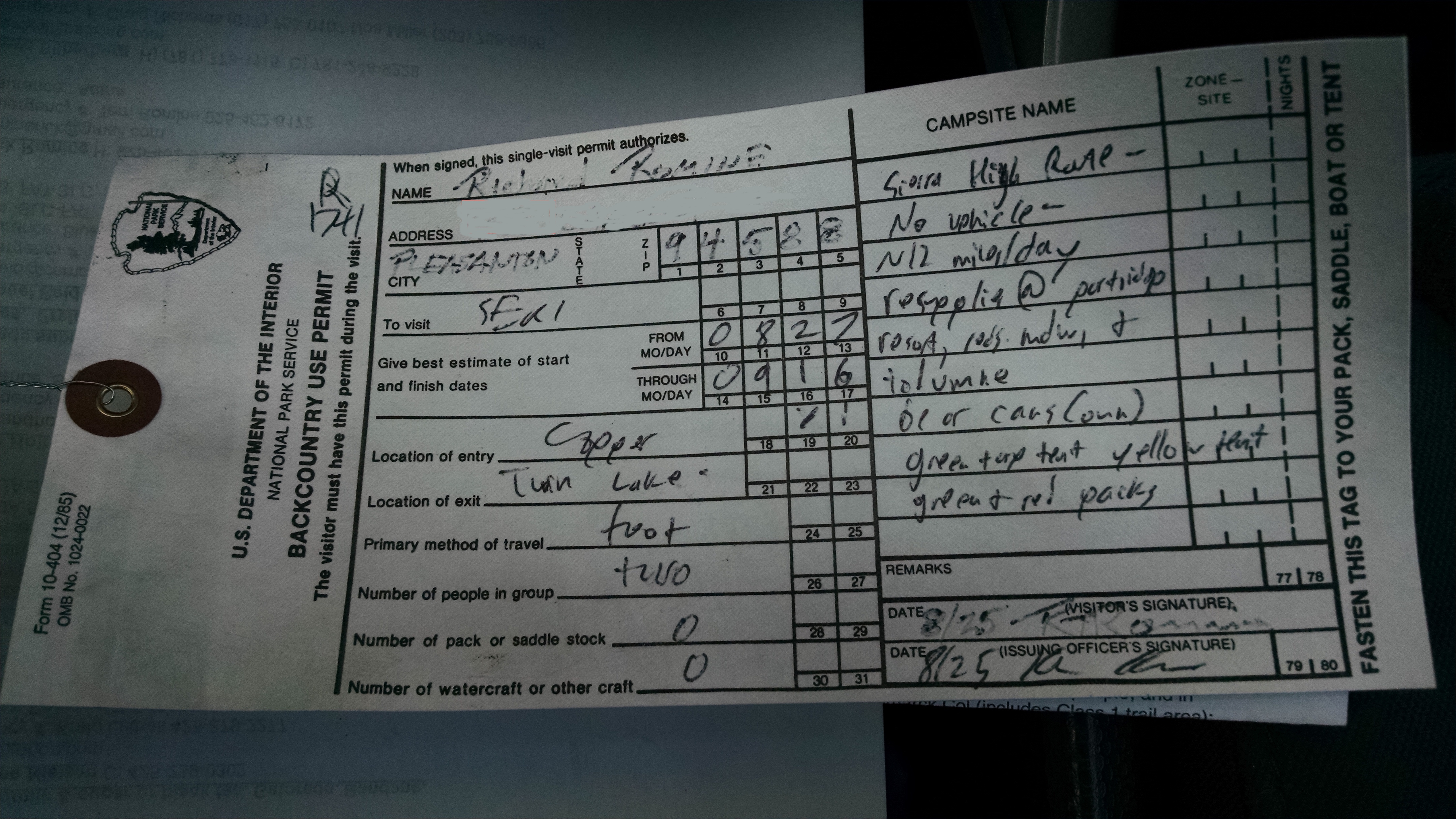
Sierra High Route Permit

Before the Rae Lakes trip, I tried my best for some “pay it forward from my PCT trip” karma by picking up two hitch hiking backpackers. They were a father and son team completing the Sierra High Route in the southern direction, opposite of our northern plan. The father was wearing a green ULA Circuit pack, exactly like mine. The son had a red ULA Circuit, exactly like Kevin’s. They were very healthy looking Canadians who said the trail had beaten them. They were making only about 5 miles a day in the talus and boulder fields, and had to jump off the High Route and on to the John Muir Trail several times. They said they would have needed 30 days or more to complete it. I was not very happy hearing their stories, and almost sorry I picked them up.

After Rae Lakes Loop, I do not have time to go home. My wife Terri rents a one-way drop Enterprise rental car and drives Kevin to Clovis. I do laundry, then pack gear and food for the first five days.

If there is one thing important to bring on a backpacking trip, it is probably a backpack. Kevin appears to be doing everything he can to break the Canadian bad karma by leaving his new red ULA Circuit at home. Too far to go get, Kevin decides to simply carry my “too large for this kind of trip” guiding backpack. To reduce some of the weight, I remove the top part of the pack, known as the brain. Kevin apparently has already reduced his own brain weight.

Tomorrow, Terri will drive us to the Copper Creek trailhead in our car, which I had driven here for the Rae Lakes trip. In celebration of the National Park Service 100 year anniversary, we are hoping they waive the $30 park entrance fee.

Follow me on the trail.