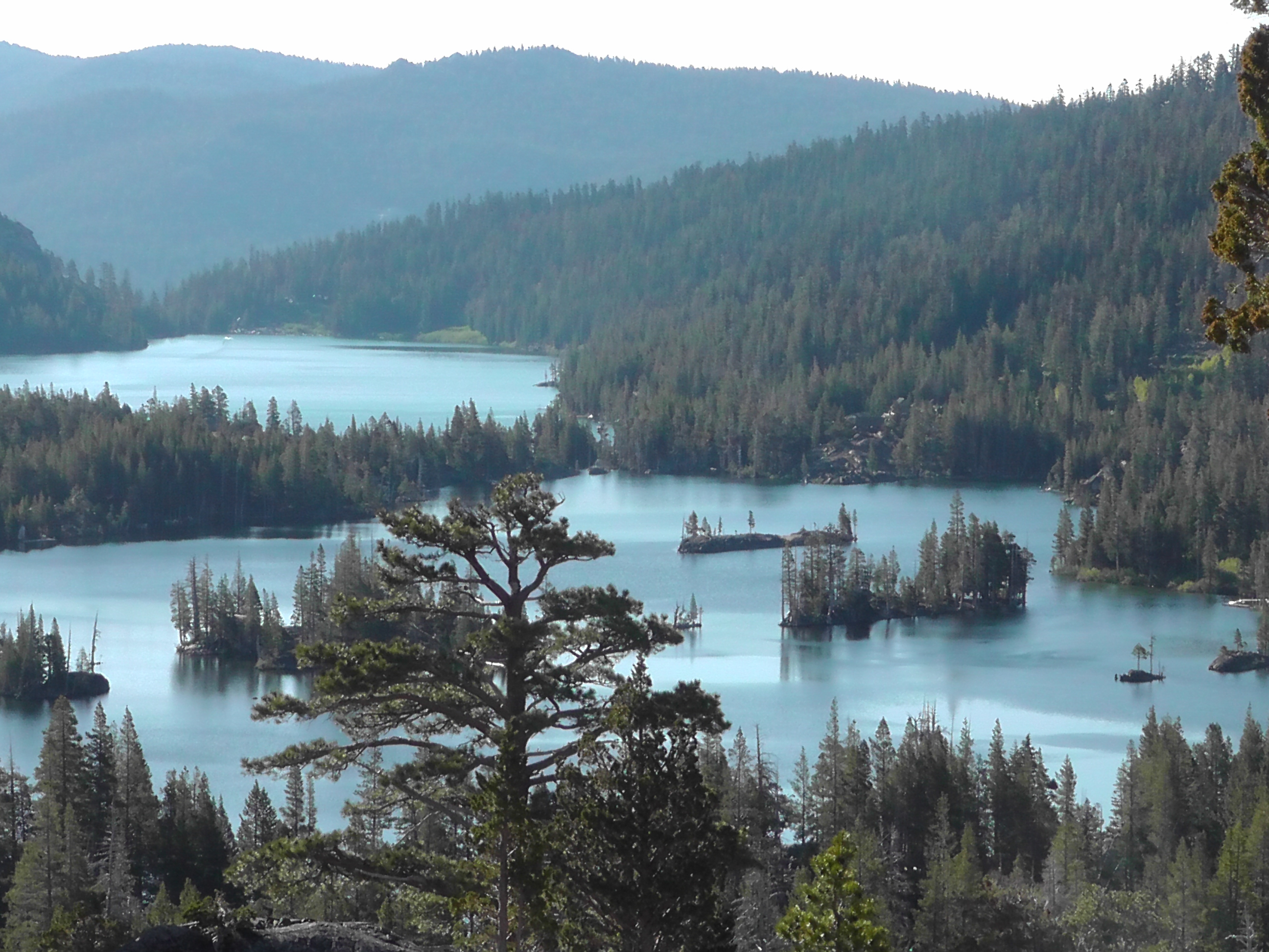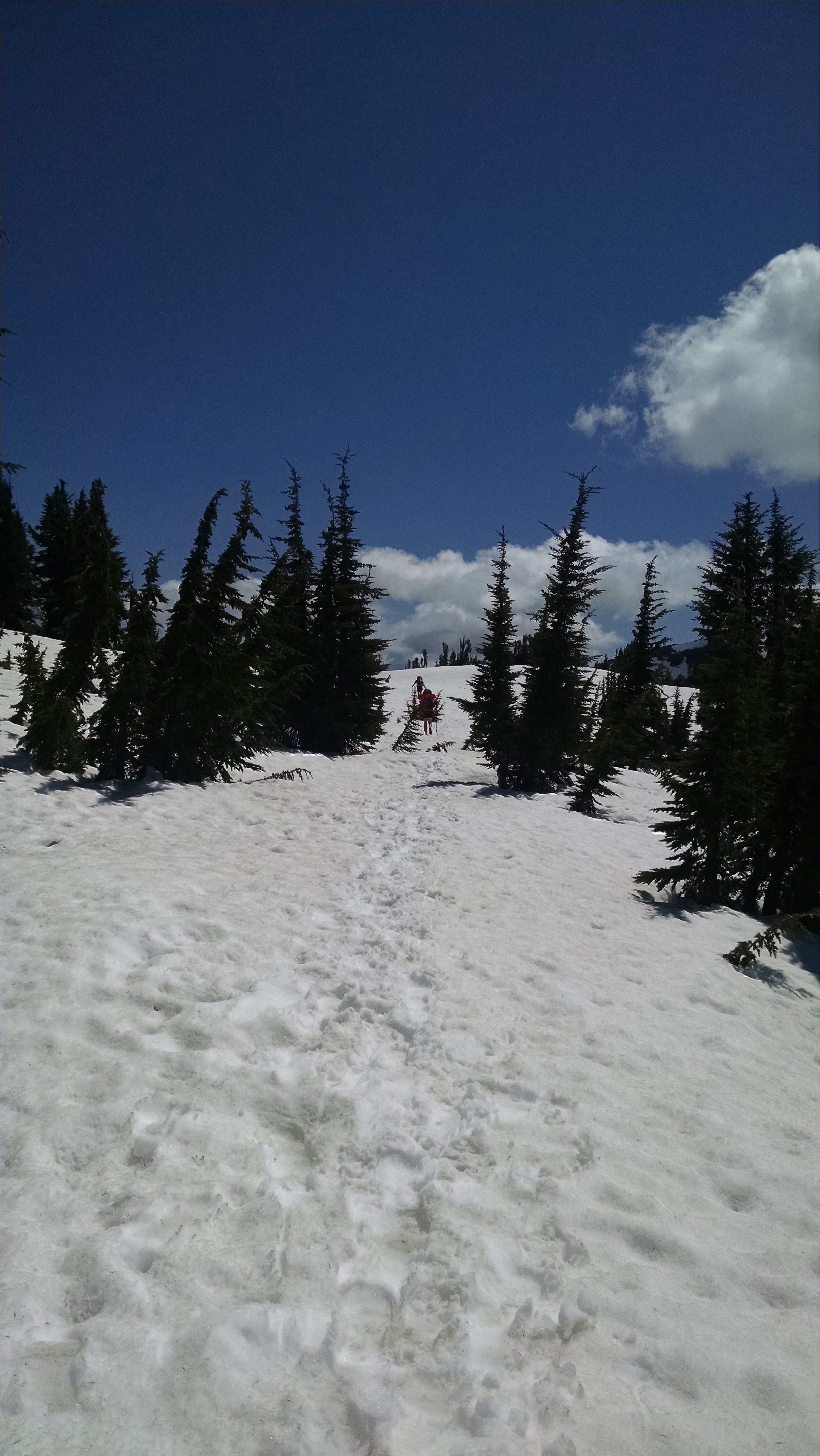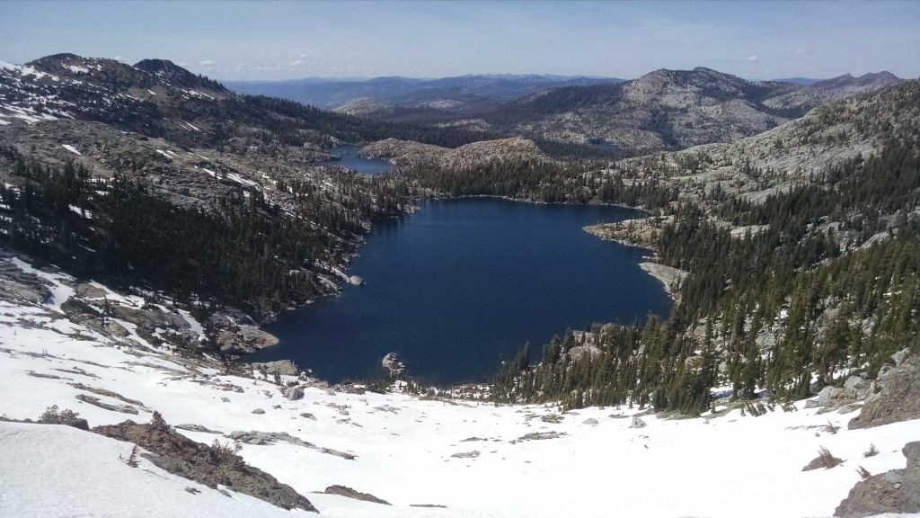
Day 79 – Mather Pass

Mile 835 to 813

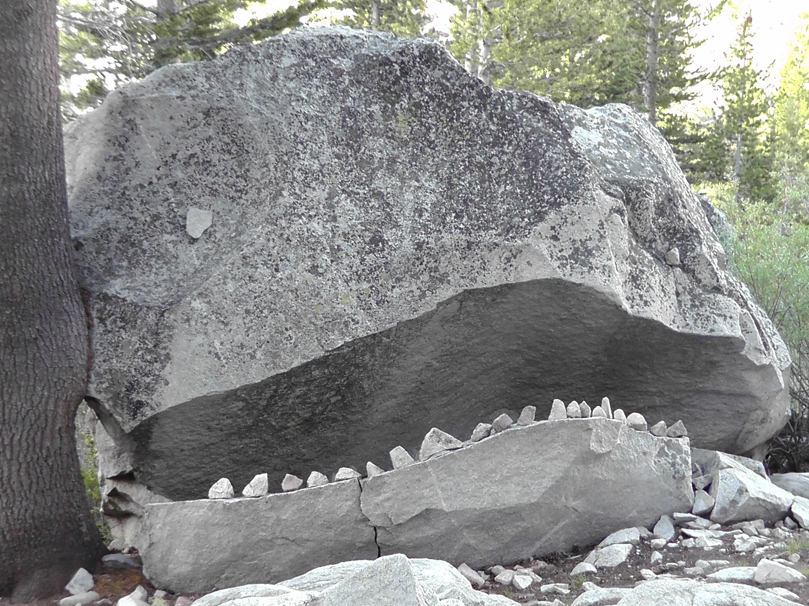
Rock Face
Rock Face

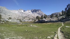
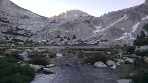
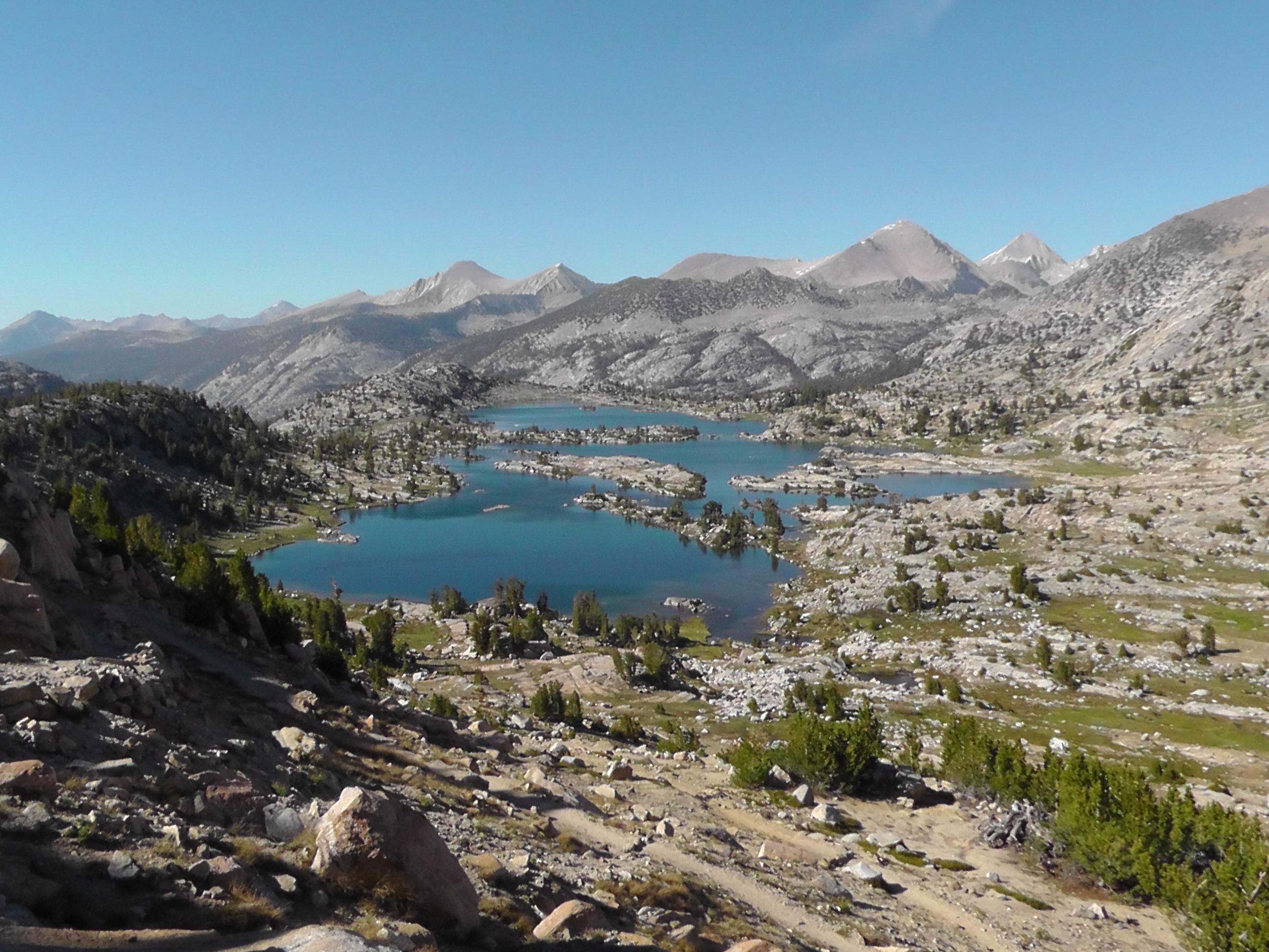
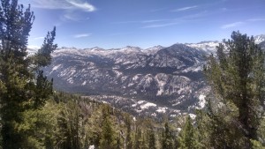
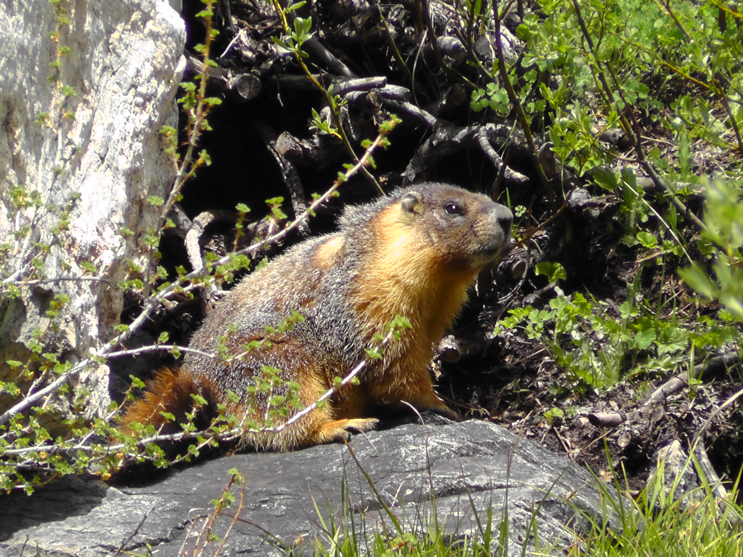
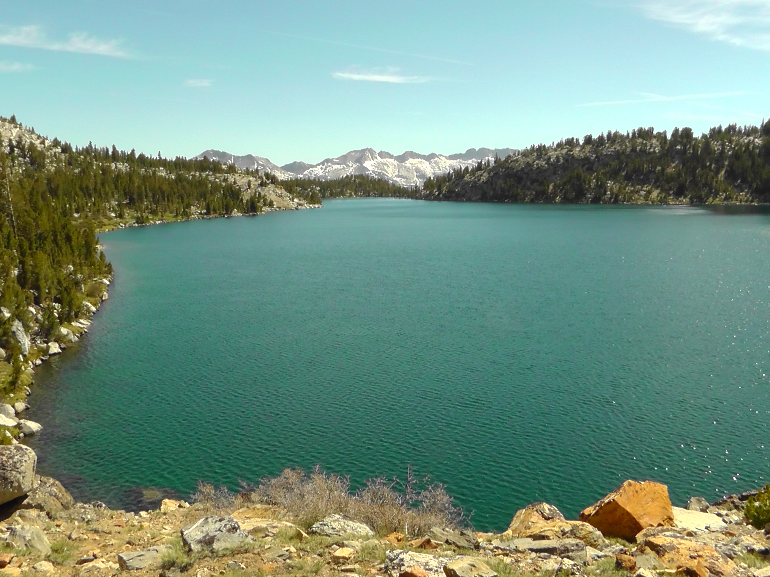
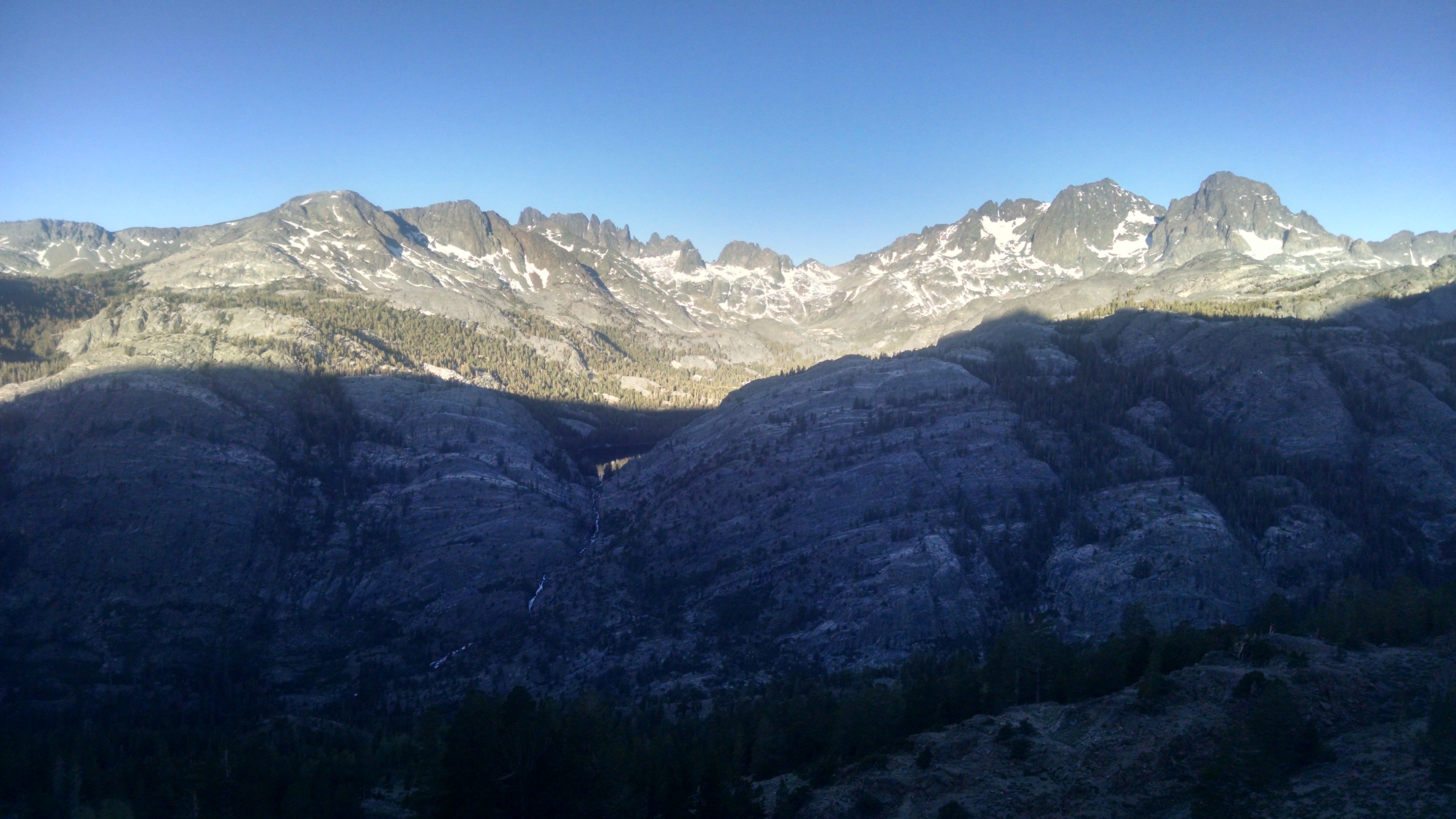
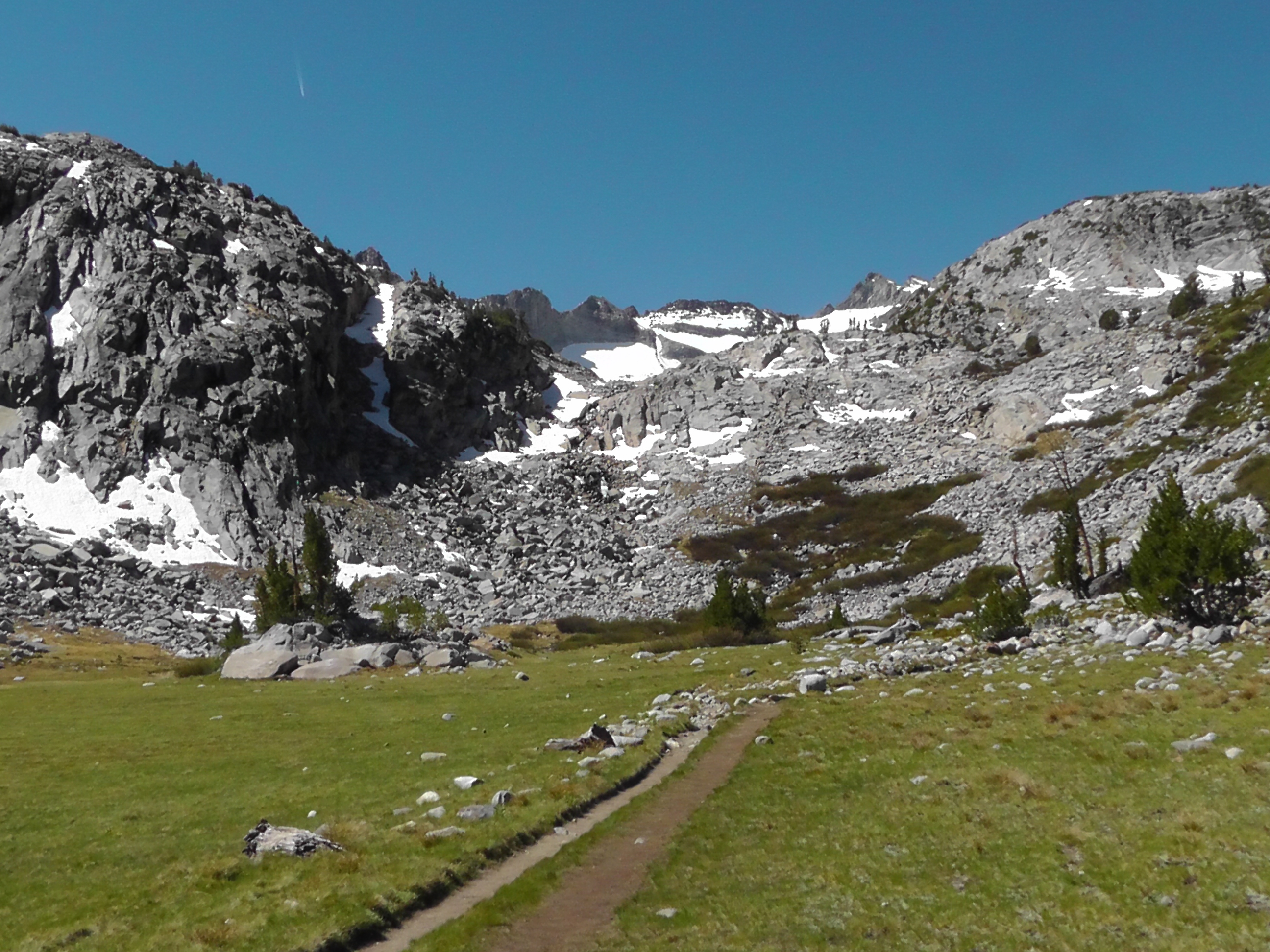
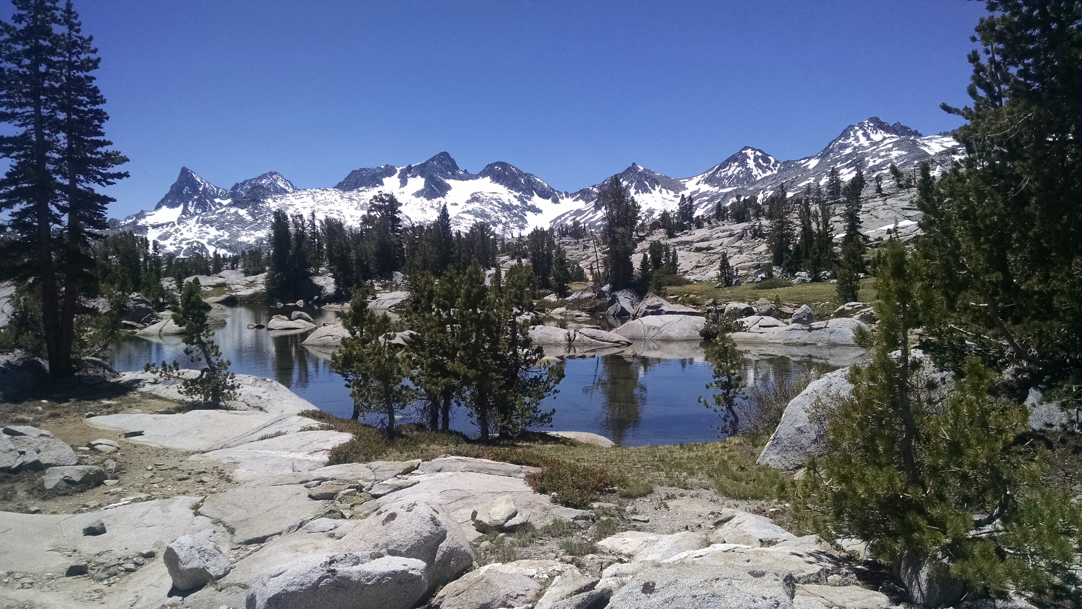
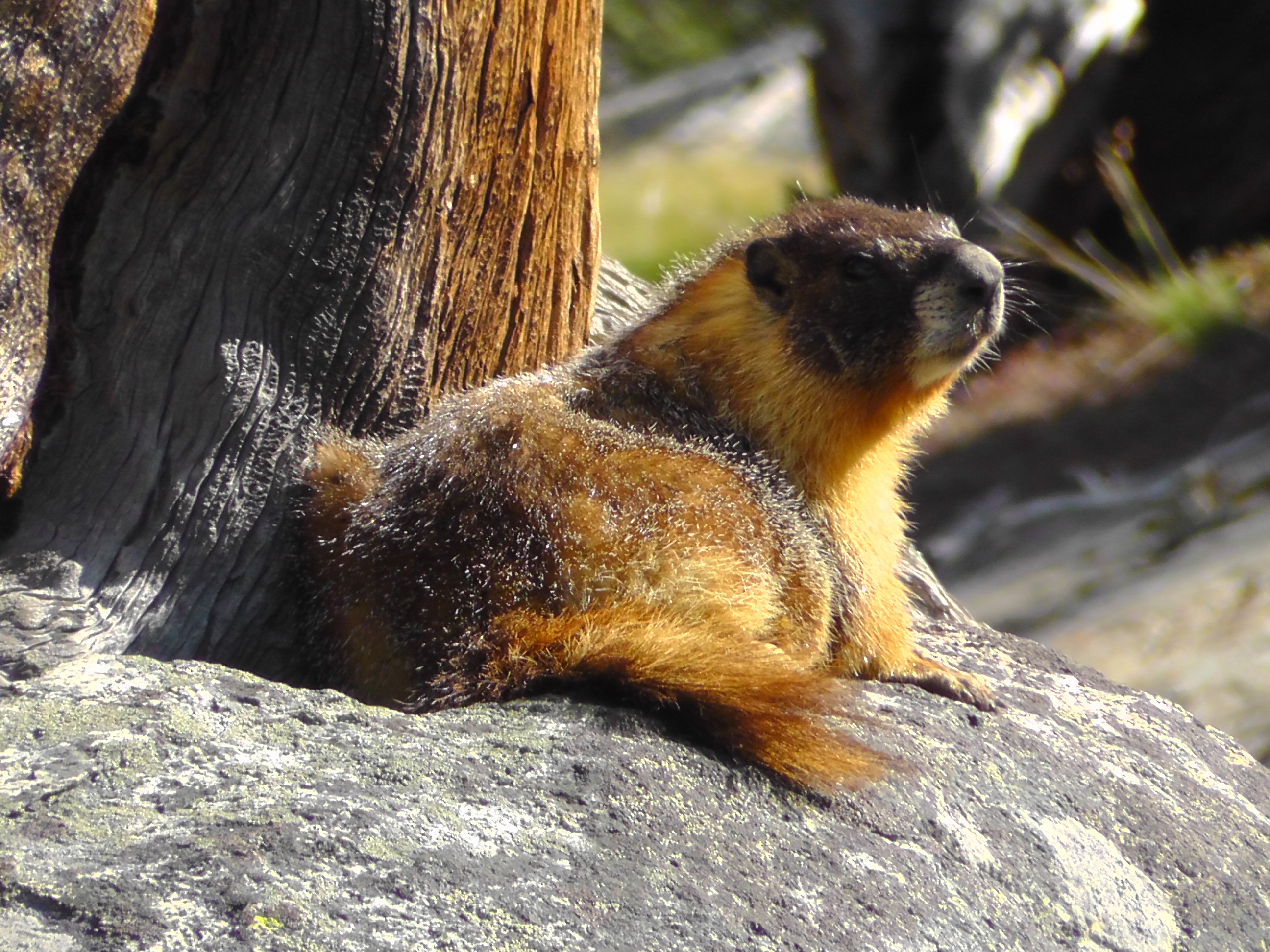
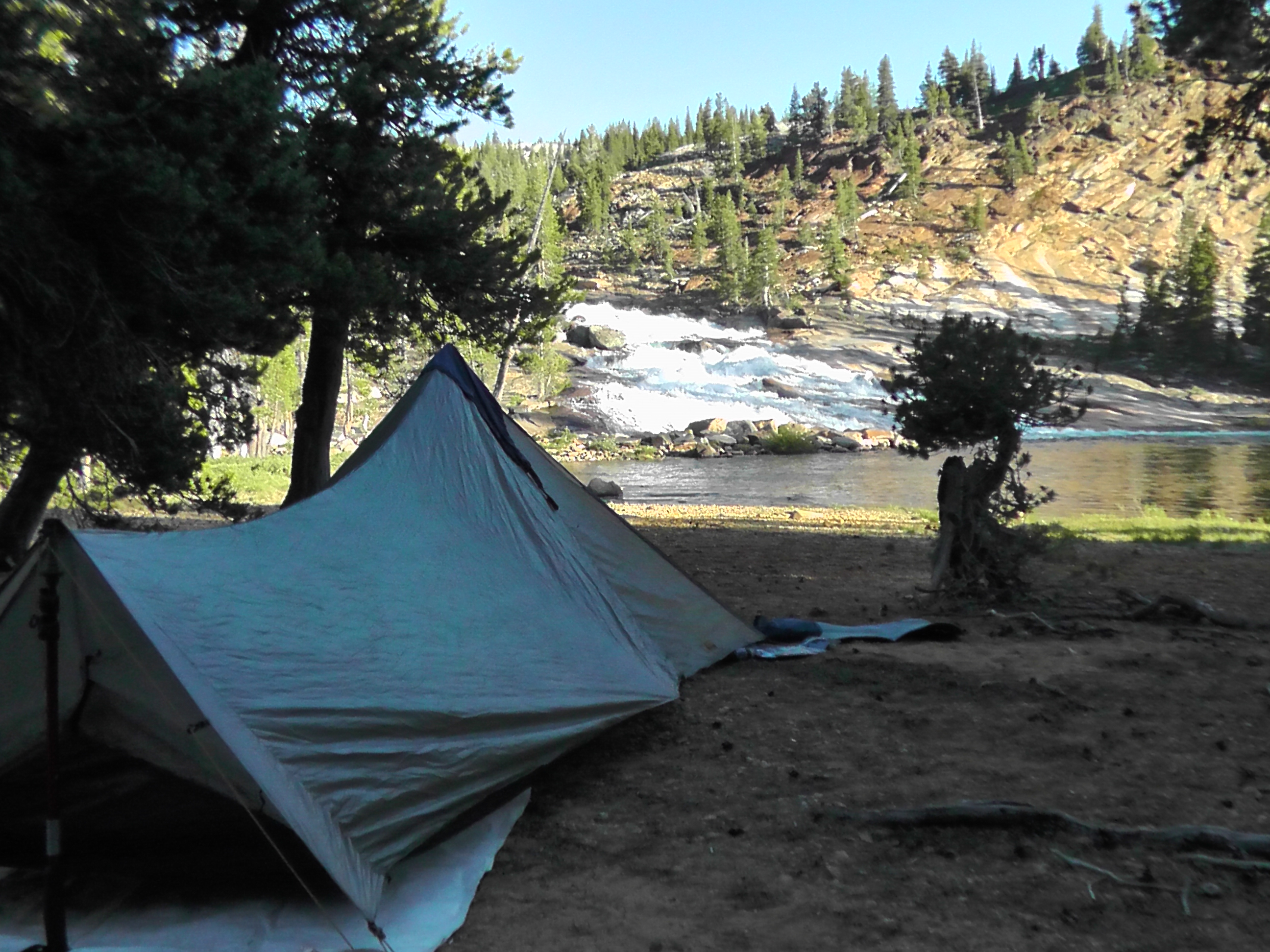
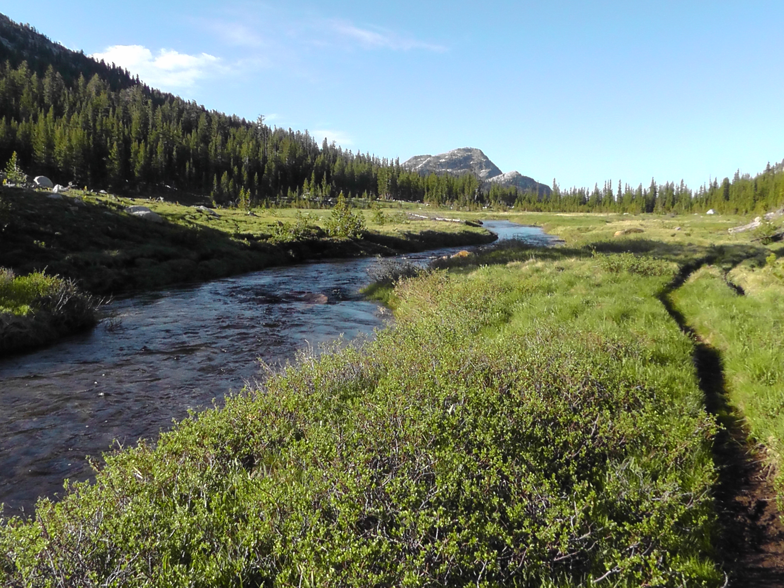
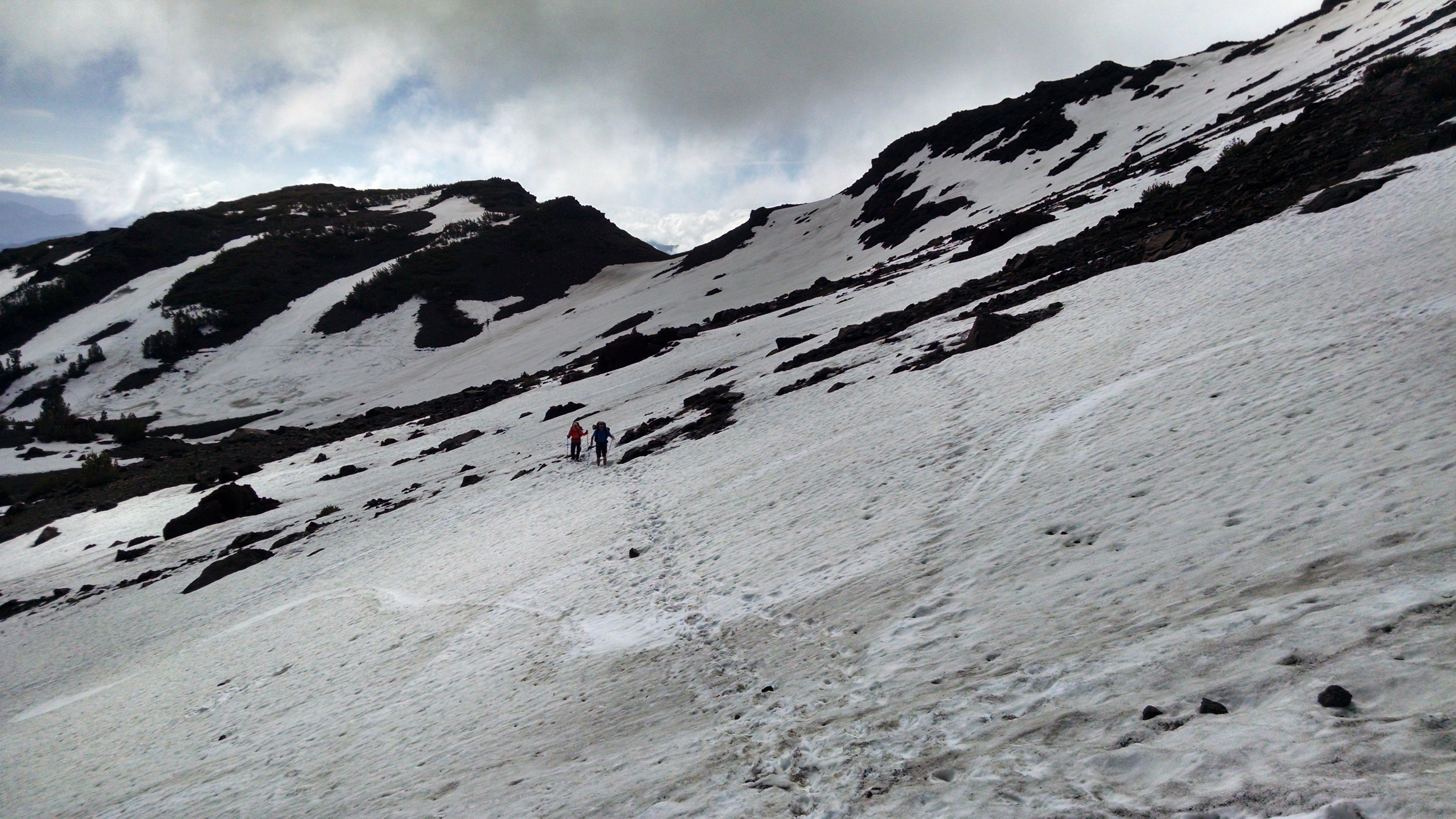
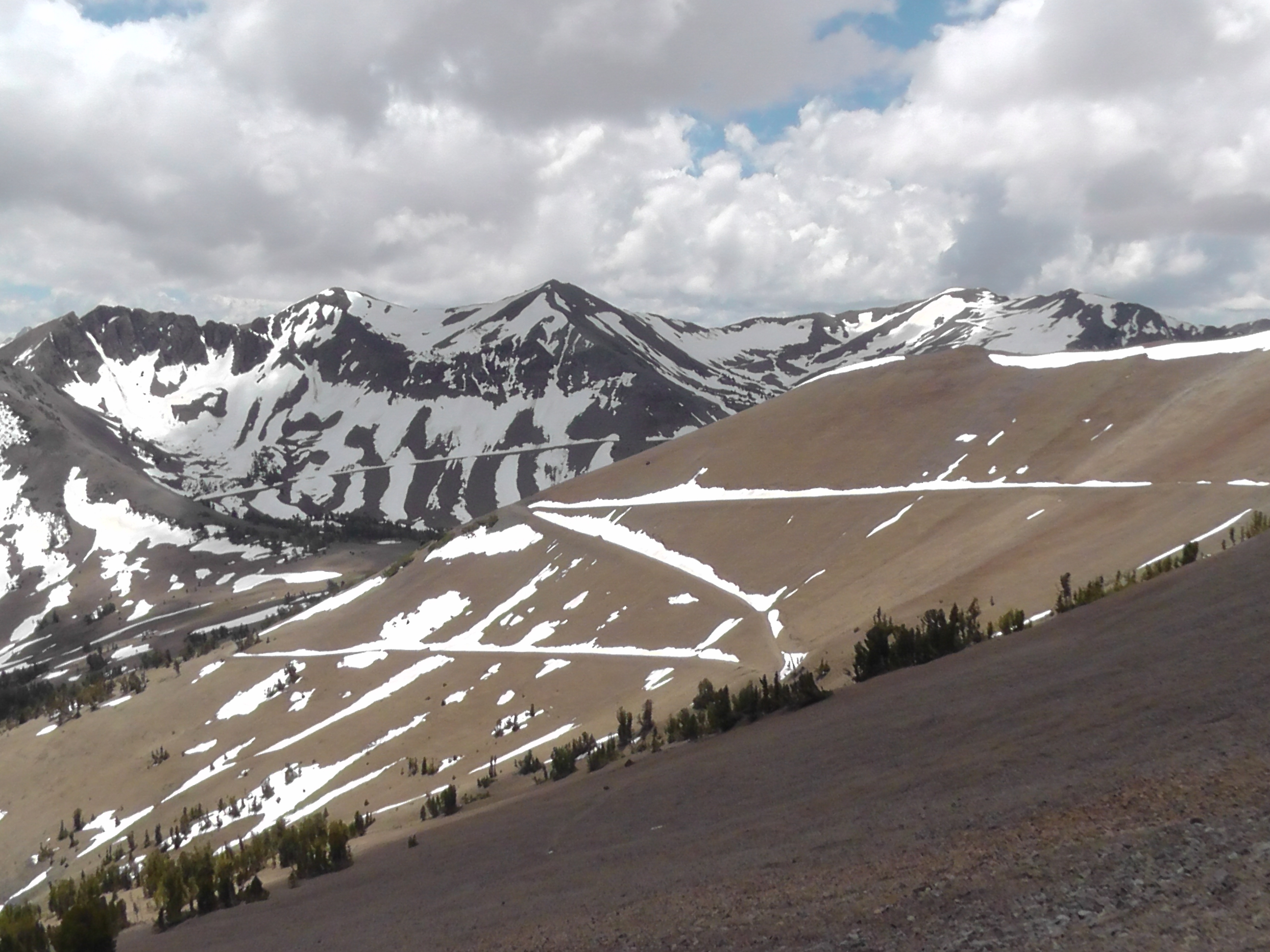
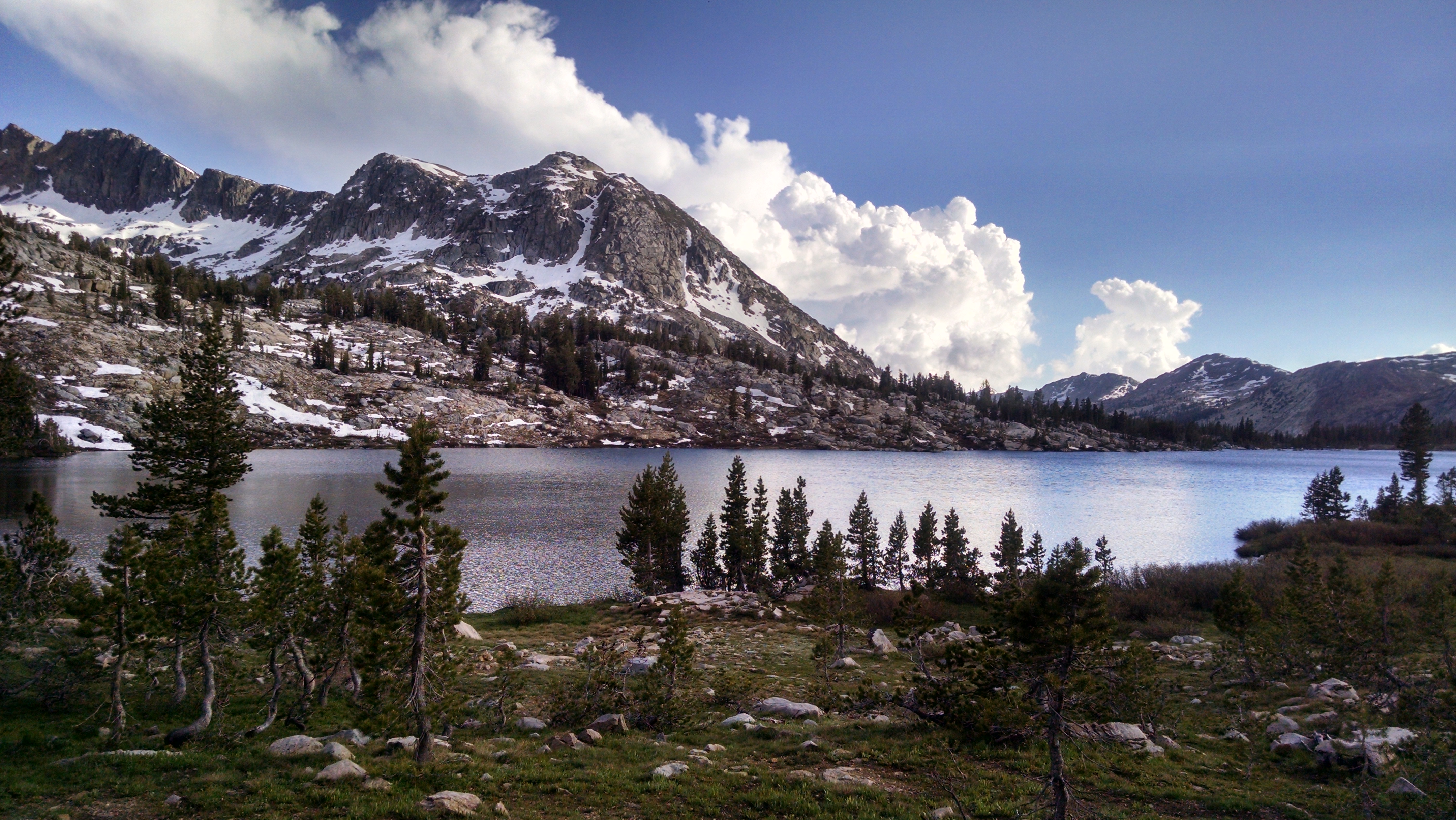
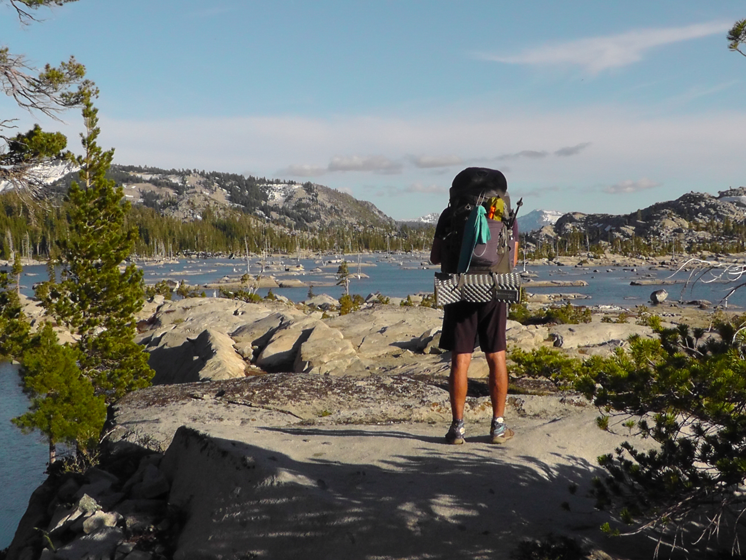
In order to bag another pass I face a long Sierra day. At least 21 miles to get to a campsite on the other side. It is a long yet beautiful slug up the 12,047 foot Mather Pass. The marmots at high elevation are like big fat house cats. They chase each other, but not too fast. When startled they hide behind a rock and peek out like a cat hides behind a piece of furniture when someone new shows up. You just want to scoop them up, cuddle them and scratch them under their chins.

Bay to Breakers is a semi-serious race/parade/party in San Francisco. People dress up in wild costumes. Some appear in nothing more than running shoes and green hats. One group I love dresses up as salmon and runs the race upstream, against the normal flow of traffic. The last few days I have been feeling like those salmon.
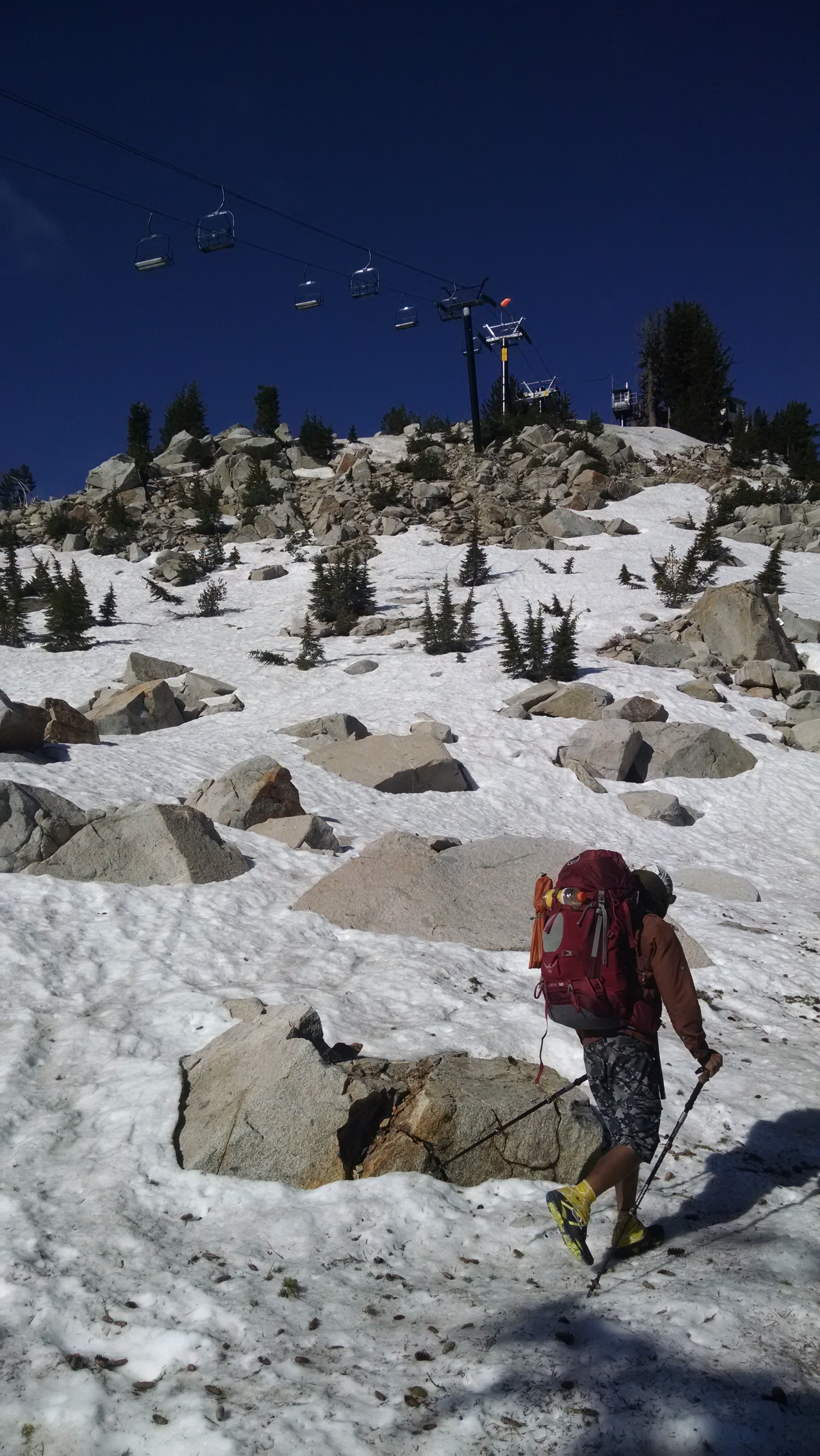
On way to Mather Pass

I have officially found the PCT herd. I am heading south against the flow. When flowing with the traffic you only see an occasional PCTer. But now I am knocked off the trail by one every few minutes. I also realize I have become a PCTest. They all look alike to me. They sport trail runners, dirty girl gaiters, shorts, quick dry shirts, floppy hats, bright colored sun glasses, tiny packs with Zrest pads strapped on and oh yes they are rocking a ZZ Top beard. The only difference with the ladies is they are more likely to wear a skirt and their beards are not as full. Watching them one after another, they no longer seem real. They seem like criminal artist renditions of what a thru-hiker is purported to look like.

In this section of trail the PCT and John Muir Trail (JMT) overlap. PCTers tend to go north. Most JMTers go south. Heading south I am often mistaken for a JMTer. You can sense an arrogance and pecking order from the PCTers. Day hikers are the lowest. Section hikers are slightly more respected. JMTers are more legit than section hikers, but really just PCT wannabes. Occasionally someone picks up some kind of vibe, or smell and says “Are you a PCTer? But you’re going south?” At times I am embarrassed to be associated with the snobs, so I pretend to be a JMTer.

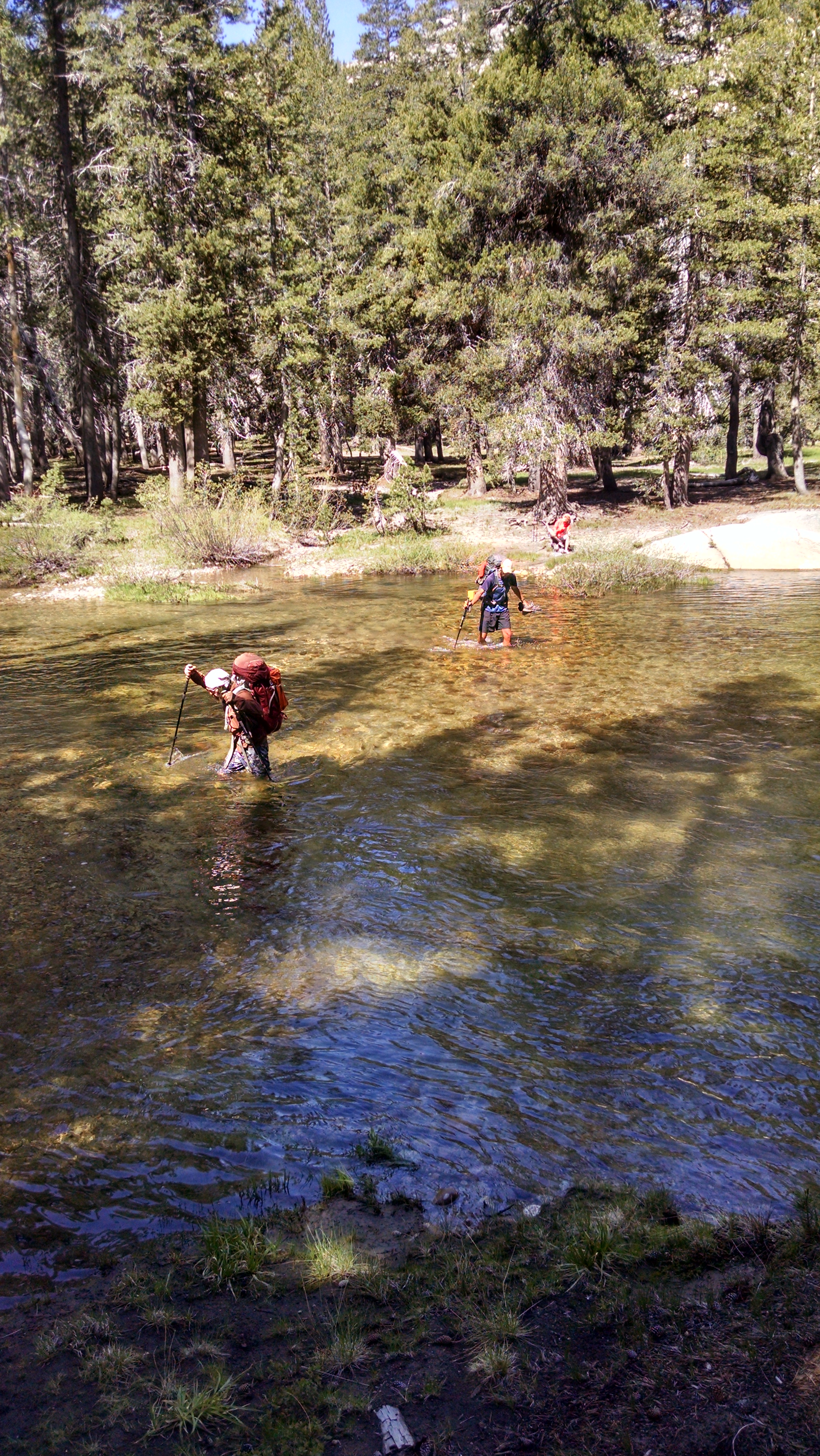
The campsite I had targeted is packed with tents. I decide to go further, but the stream crossing is blocked by a naked woman. I return awkwardly to some other women to wait out the bathing. One woman mentions tomorrow is hike naked day, so she guesses this is just an early freebie. For those that don’t know, there is a thru-hiker tradition to hike naked on the Summer Solstice. When my sister first heard of it she offered to be a trail angel providing sun screen, but only the spray on kind. Luckily for everyone I am not one for this type of tradition. Other freer spirits however may make for an interesting tomorrow.

I eventually find a private site. Settled into my tent, I really need to go to the bathroom, but the cloud of mosquitoes convinces me to hold on until morning.
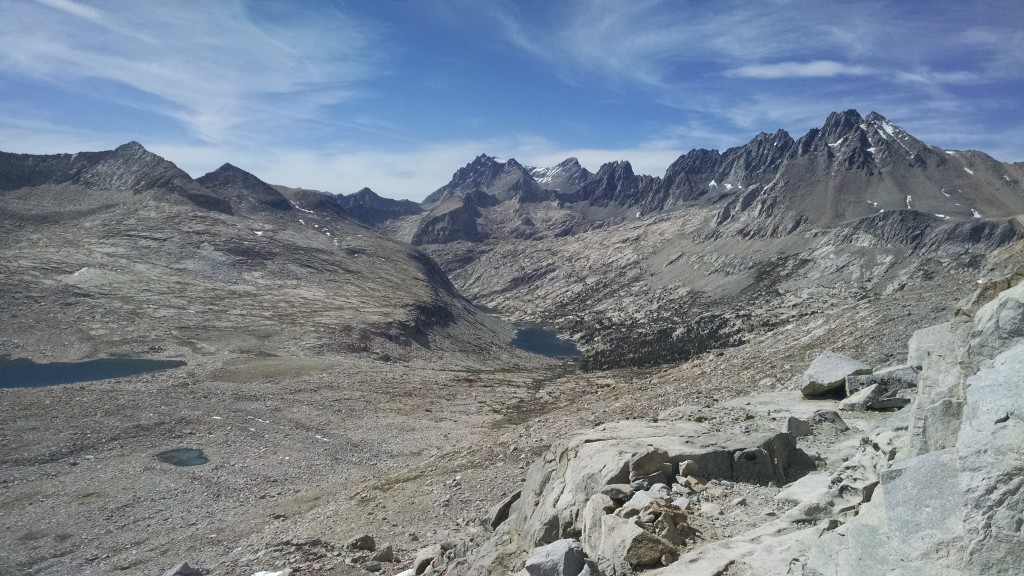
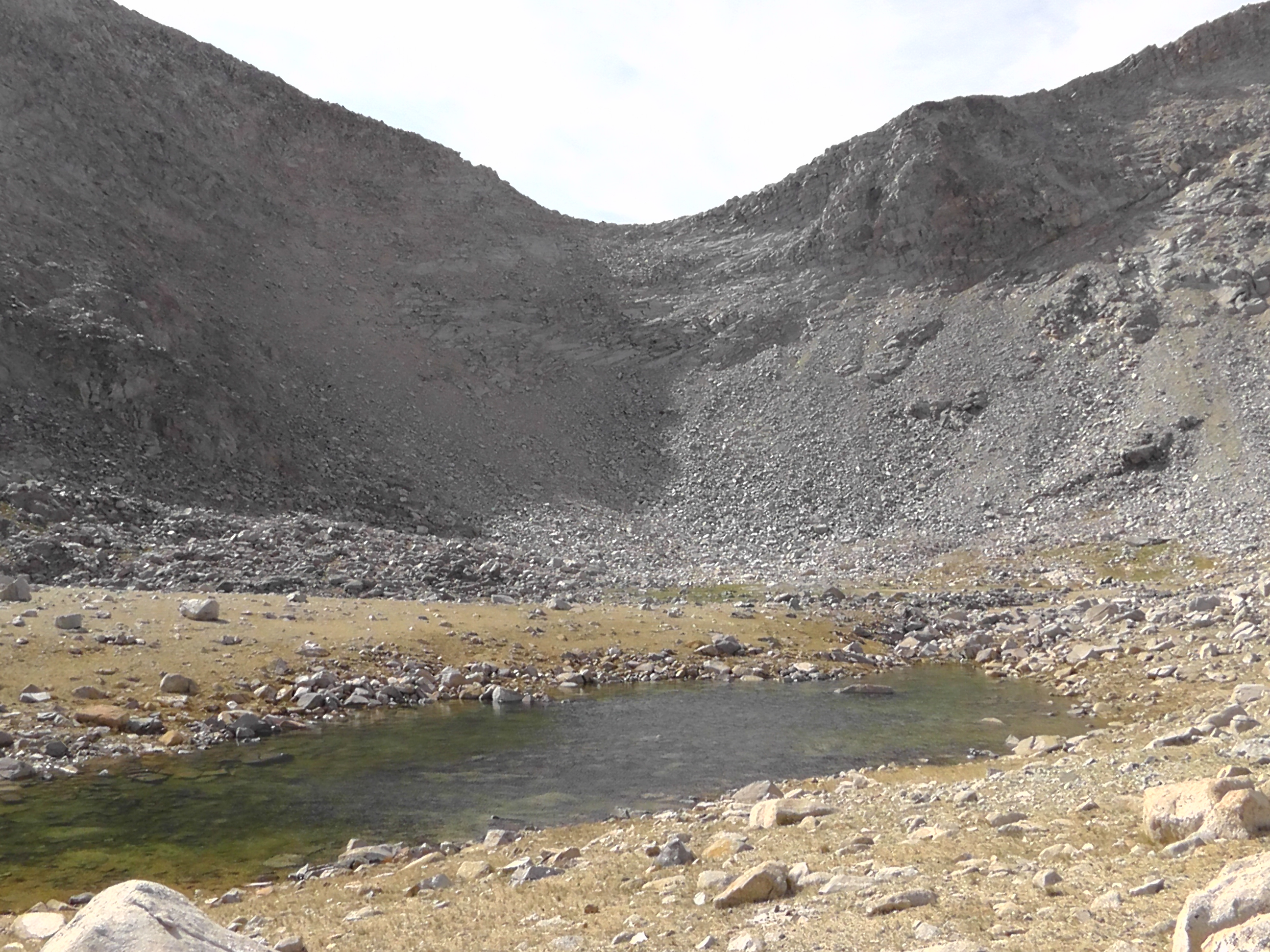
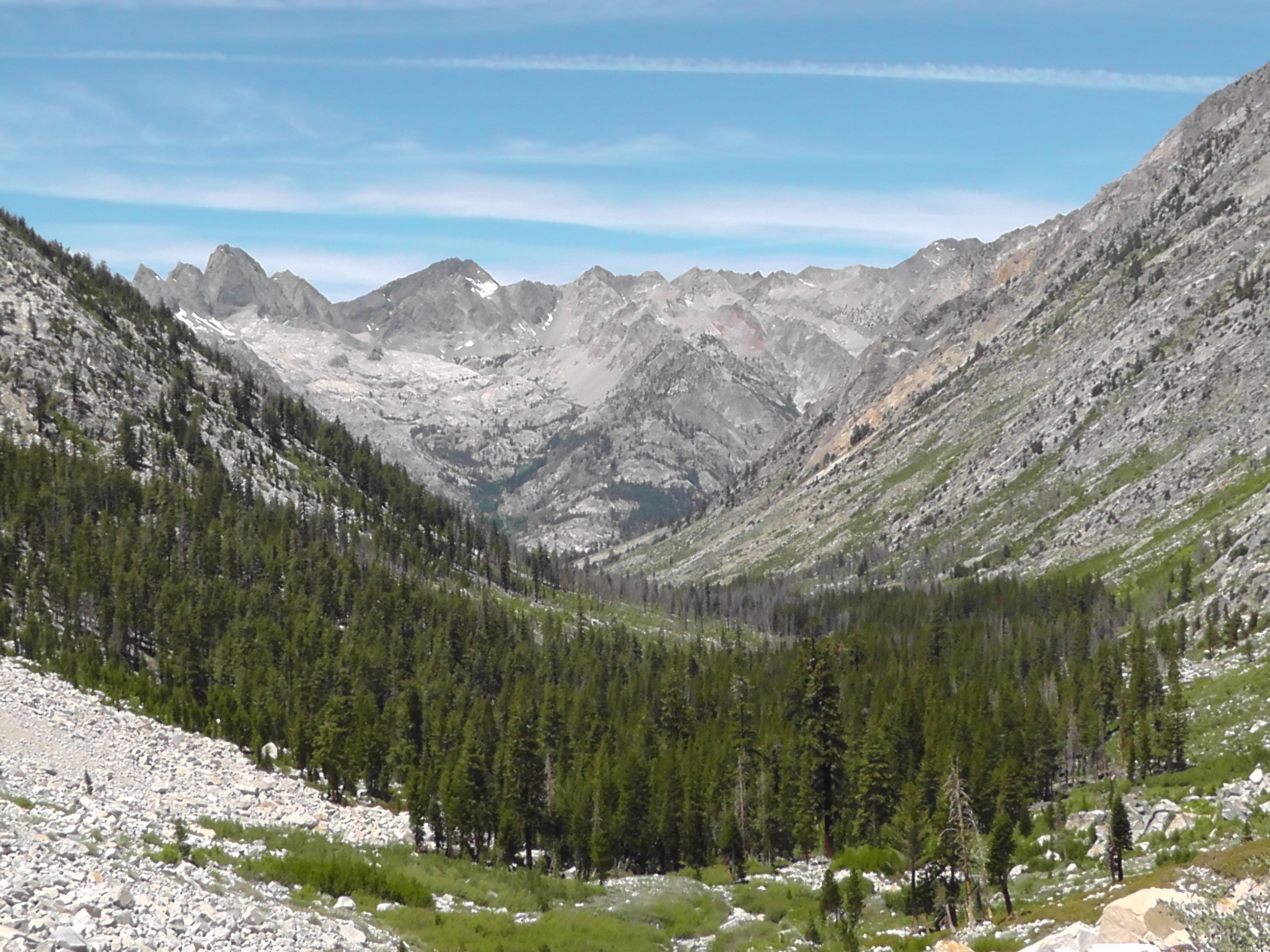
From Mather Pass
From Mather Pass
Looking Back At Mather Pass

Day 78 – Muir Pass

Mile 862 to 835

june19creek
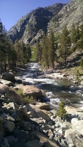
Kings Canyon

I wake to realize I still have no new subjects in my land. I also however have no mosquitoes, which allows me to squat on my throne for the morning constitution without being eaten alive. It is possible they are tired of left overs. Given the ravaging their relatives have given me, there is not a spot on my body which could be called fresh meat. Where they have gone I am not sure, but I can imagine.

OK, what did you get?
A+.
Me too, A+.
Same here, everywhere I drill, it is A+.
This is terrible.
Isn’t A+ good?
This is not your inflated elementary school English grade. A+ is terrible. We want O-, the universal donor.
So positive is bad and negative is good?
Of course, we are mosquitoes.

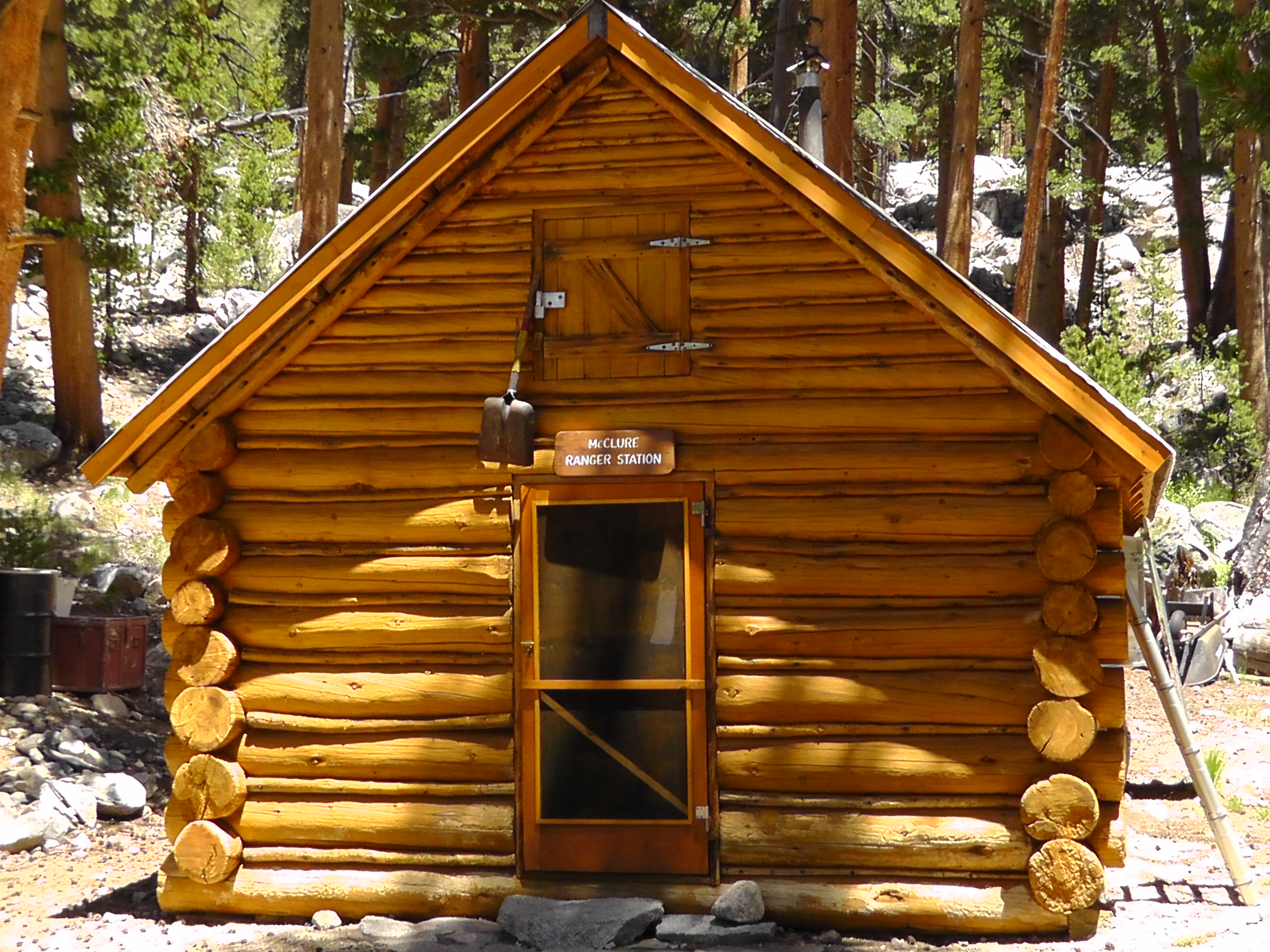
McClure Ranger Station

After a long hike down, I pass the Muir Rock, and enter the Evolution Valley. The Evolution Creek crossing is famous for its treacherousness. I realize I never have pictures of the wild ones, because I put all my electronics is plastic bags and dry sacks in case I fall.

I stop at the McClure backcountry Ranger Station. The ranger seems less than happy because a bunch of dignitaries are riding in on horses tomorrow, then the next day riding up to Muir Hut for some anniversary celebration. He tells me the snow on the pass is pretty much gone.

june19muirhut
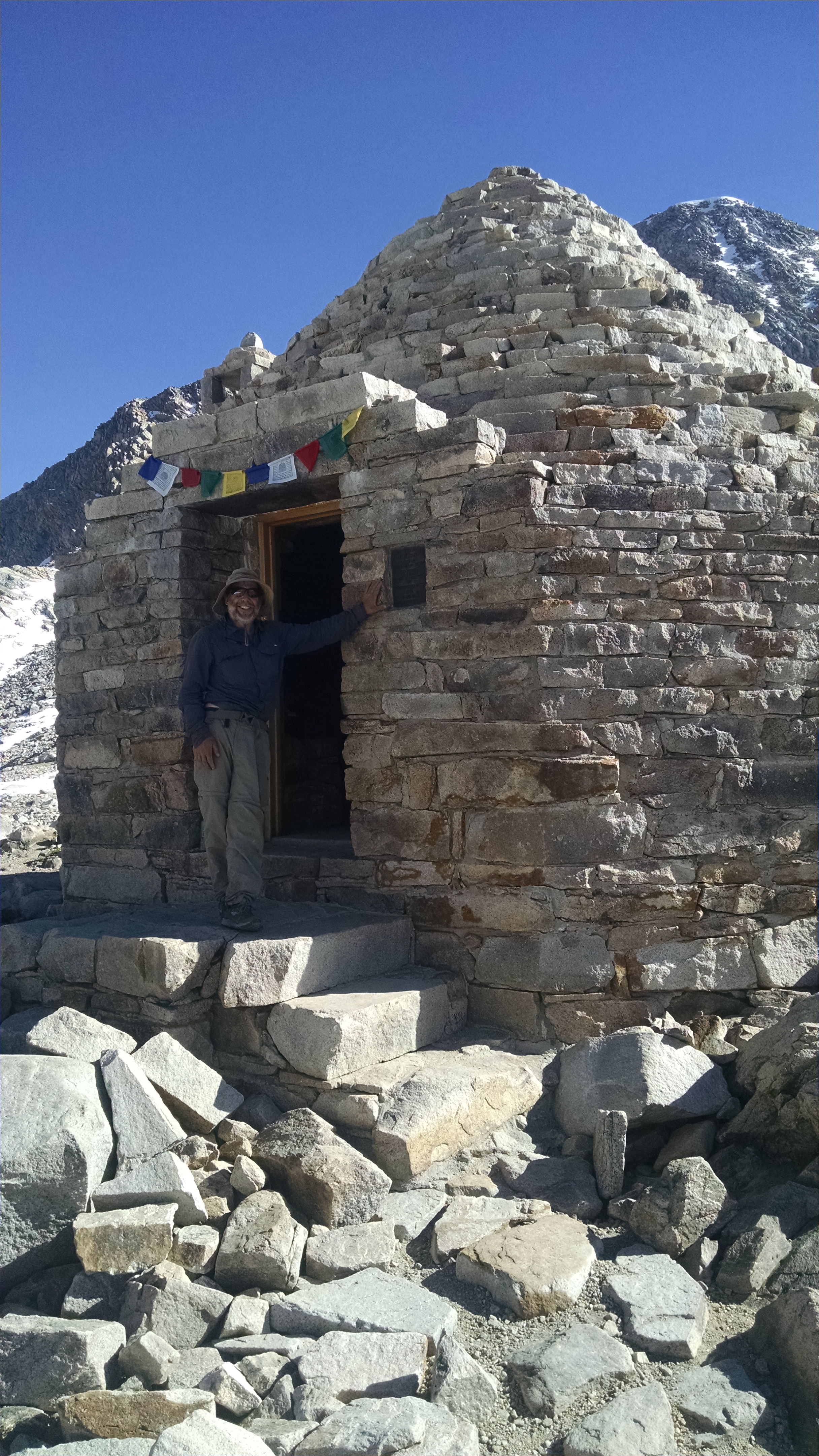
Muir Hut

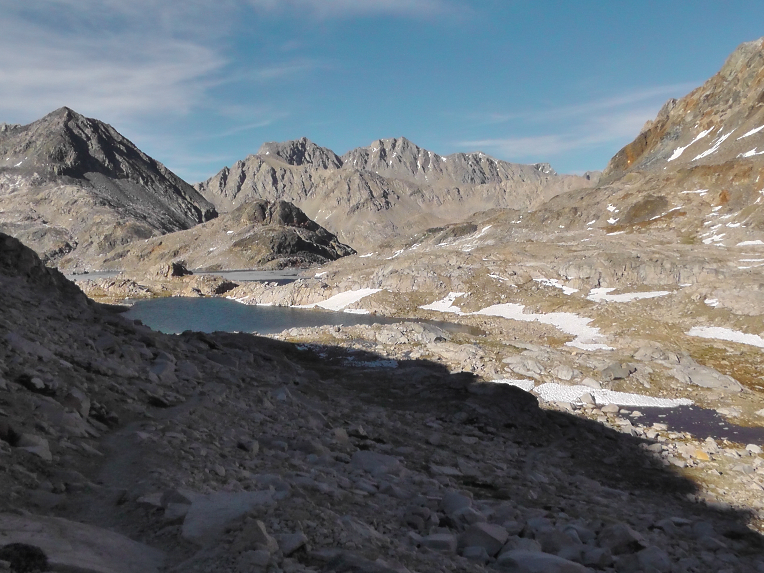
Unless I push extra hard today I will not bag a single pass, which doesn’t seem right. I set my sights on the first campsite after Muir Pass, which makes for an over 27 mile day. I believe that is a marathon carrying a pack over a 11,978 foot pass. On the way I pass beautiful lakes on both sides of the pass and take a few quick pictures of Muir hut.

Down at the campsite I discover where all the mosquitoes have gone. The drilling begins again as I filter water. I dive into my tent to hide.

From Muir Pass
From Muir Pass

Day 77 – Silver and Selden Passes

Mile 887 to 862

Up Silver Pass
Up Silver Pass

The mosquitoes are particularly bad. I packed up quickly, then confirm plans with BLT. There is a campsite at Marie Lake in about 21 miles, just shy of Selden Pass. He points out that if we push we can go over the pass and camp on the other side. When BLT mentions two distances, he almost always does the furthest. He is still eating. I am usually slower than the youngster, so I start out confident he will eventually catch me.

I first have to get over Silver Pass, at 10,781 feet. On the way I enjoy views of Chief Lake and Warrior Lake. Just beyond the saddle is aptly named Silver Pass Lake. The lakes and streams are plump with plump trout, made so by the clouds of protein filled mosquitoes, who make stopping to admire the plump trout impossible.

Silver Pass
Silver Pass

I reach Marie Lake and there is still no sign of BLT. If I stop for any length of time, I will have to setup my tent to hide from the mosquitoes. I imagine the second I do, BLT will round the corner and want to push over Selden Pass. So I keep walking, up and over Selden Pass at 10,877. I pass Hart Lake and Sallie Keyes Lakes, all boiling with trout.


I eventually set my sights on a campsite advertised as big enough for 10 tents. I figure I will at least camp with someone, if not BLT. When I arrive the site is huge, but no one is here. I setup, eat and lord over my new found land, just not my people.

From Selden Pass
From Selden Pass

Day 76 – Miss Terri

Mile 906 to 887

Back in the Wilderness

I wake at the normal 5:00am, which is a little early given the bus will not pick us up until 7:30-ish. At least that is the story I got yesterday from one of the trolley drivers. The normal busses do not start until 9:00, but an out-of-service bus heading up to Mammoth Resort will pickup anyone who looks like a backpacker. I am pretty sure I can pull that part off. At least so far I have not been mistaken for a clean room scientist or a runway model.

For breakfast I eat leftover pizza, minus the ants, with orange juice and a banana. At 7:00 BLT arrives. He did not make it back to the trail yesterday and is willing to test the out-of-service magic bus theory. We wish DC a quick recovery and trail rejoin.

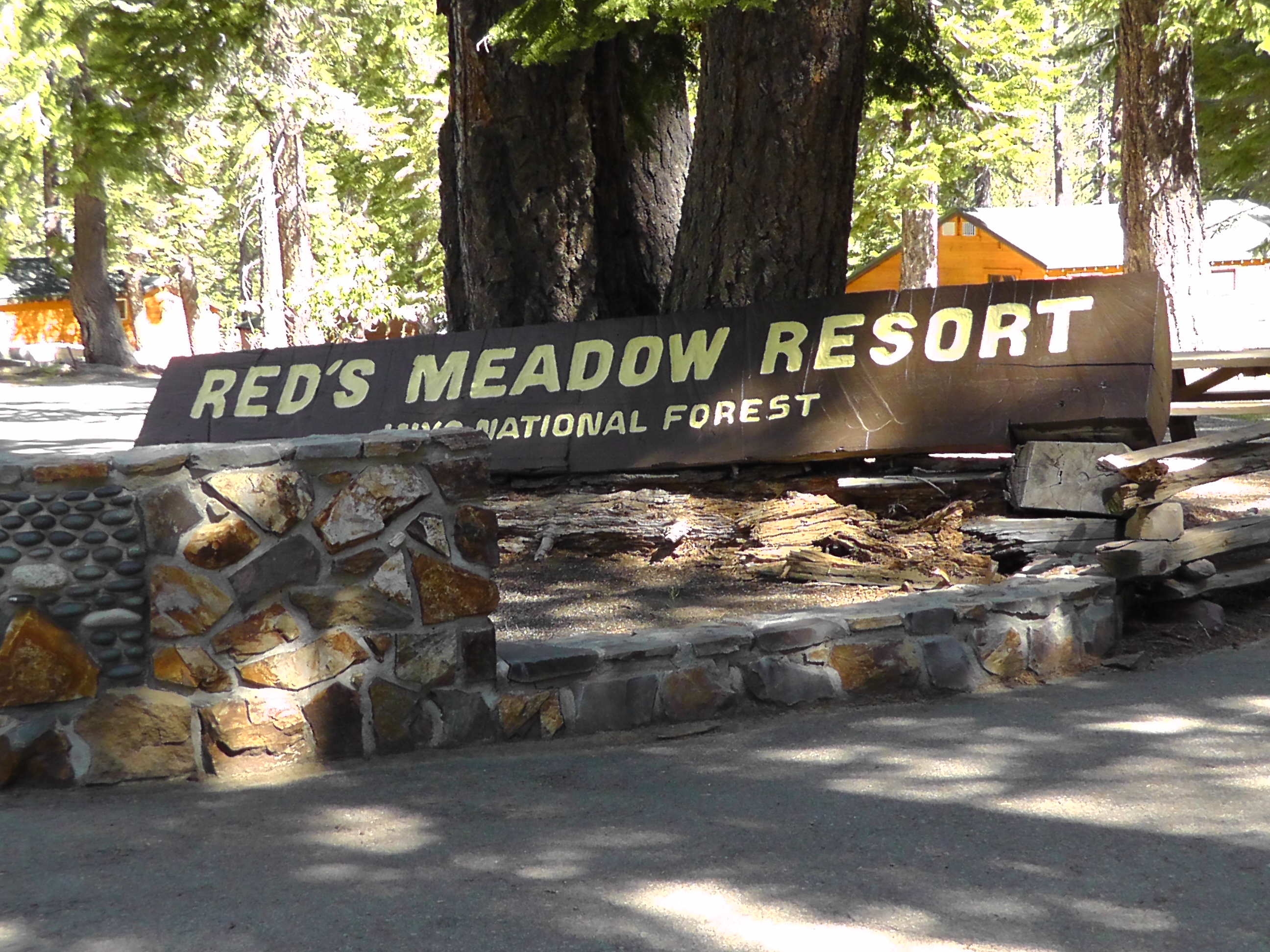
A bus does pass at about 7:30, but the driver goes way out of his way not to make eye contact. I am more aggressive with the next one, stepping into the street waving my trekking pole. This driver stops and takes us to the resort where we immediately jump on the other bus to Reds Meadows. BLT hangs around Reds to eat and drink some more. I get on the trail by 9:00. Today is pretty much up hill all day towards Silver Pass.

This section is 120 miles (more if you count the long exit at Kearsarge Pass) with no cell service, no road crossing and no resupply. It is again like being on the far side of the moon.

Marmot
Marmot

Every day I miss Terri. I miss her when I wake and she is not here. I miss her when I have a meal alone. I miss her when I see a marmot, a pika, or a fawn and I can’t share it with her. But I really miss her on long service-less sections like this where I can’t text or call her. I remember when we said our vows: “I do.” Then I remember when she came to the trail with Advil. When she hugged me, I said “I smell” and she said “Yes, you do.” I am hoping there is similar love in the “You do” as in the “I do”, because it’s all I got.  [Terri’s editor’s note to self: more unspoken thoughts]

BLT catches me at about 2:00. We target a camp just short of our daily 20 mile goal. It seems reasonable given our late start. After setting up, out of nowhere Loran appears. Well actually he just walked south on the trail and into our camp, but it seemed like from nowhere. Unfortunately the mosquitoes are so bad that we hide in our tents and there is very little visiting.

Lake
Lake

Day 75 – Ridiculous Thoughts

Mile 920 to 906

Morning View from Camp

I wake in my ridge top shelter overlooking the valley and jagged peaks. I am a little over 13 miles from the Reds Meadow Resort and the $7 shuttle to Mammoth started running a few days ago. I get an early start and push hard. The elevations are relatively easy.

Before I started this thru-hike, I wondered what thoughts would fill my head for hour after hour, and day after day. What would I discover about myself? What revelations would I have? I was prepared to have occasional petty and ridiculous thoughts, but the quantity and persistence of them is surprising.

Devils Post Pile
Devils Post Pile

I understand there is a lot of research showing just how little our conscious mind controls our decisions. We apparently have a lot less free will than we think. Setting that aside, even my conscious thoughts are at war over decisions. The X part of my mind is constantly saying no. It is the control freak of my freaky mind. The Y part of my mind lacks any sense of self control and is constantly asking “why?” followed usually by “not.”

Y: Hey, I’m hungry, why don’t we eat the Snickers.
X: It’s not time. We have only 6 snacks to eat today. We have to spread them out.
Y: Great. Let’s spread the Snickers now.
X: We started hiking at 6:00am. We will eat the Snickers at 8:00am.
Y: It’s 7:53. Close enough.
X: We need to wait.
Y: Why?
X: If you had your way, we would eat everything before 11:00. We need discipline.
Y: Remember yesterday? You forgot to look at the watch, and we didn’t eat the Snickers until 8:09am.
X: So?
Y: We have a credit. In fact, with the credit we are 2 minutes behind.
X: It doesn’t work that way.
Y: What if we open the peanut M&Ms, and just eat the red ones now? We could eat the rest later. Our average would be 8:00 am.

A mind is a terrible thing to waste on my waist.

Reds Meadow
Reds Meadow

At Reds Meadow I buy a root beer and hop on the bus to Mammoth Resort, then a trolley to the town of Mammoth. BLT, Klutz and Mountain Goat are scrambling in Mammoth to resupply and get back to the trail. Given the time I arrive, the things I need to do and the bus schedule, that clearly does not work for me. I check into Motel 6 and figure when DC arrives he may want to share a room. Besides, it will allow me to watch the Warriors in game 6 of the NBA finals. I do laundry and plan for the 120 mile leg from Reds Meadow to Kearsarge Pass. Yes, that will take at lot more food then I usually carry.

DC arrives, agrees to share the room and we go out for a quick burger. I resupply at Von’s while DC dials for a dentist and does laundry. I think his laundry is more successful. The dentist search will have to continue tomorrow. By then, I expect to be on a bus back to the trailhead. I may see BLT, who is still in Mammoth, perhaps stealth camping.

Day 74 – Alone Again

Mile 942 to 920

Up Lyle Canyon
Up Lyle Canyon

At 4:45 am I hear the bear box open and close and the normal zipping, crunching and snapping of someone packing. I guess BLT really is going for big miles. I hear footsteps walking away. I rise to go to the bathroom and notice BLT’s tent is still there. Packing in the dark he must have forgotten it. I race to catch him, but can’t find him. I can’t believe I am going to have to carry it. When I go back to our campsite I realize he is still in his tent. So much for his early start.

I pack and leave before DC and BLT, but I am at least a half day behind Klutz and Mountain Goat. The first 9 miles are a gentle slope up Lyle Canyon. It reminds me of the time we hiked Lyle Canyon with the boy scouts and came upon a group of about 20 naked Germans. They seemed quite natural in the a la natural.

Lake Below Pass
Lake Below Pass

I climb two passes, Donohue and Island. The views are spectacular, but I earn them with sweat equity. Although I ask northbounders about Klutz and Mountain Goat, I never get consistent answers. Observations range from they are an hour ahead, to they are three hours ahead, to I did not see them at all. I never catch them and have no idea where they are. BLT finally catches me at about 5:00 pm, after I have set up camp. Though he agrees my site has an awesome view, he pushes on still trying to get his 30 miles. He wants to be a couple of miles from Reds Meadow Resort. I am happy being within 13 miles. DC is still somewhere behind, holding his aching tooth no doubt.

Snow Peaks
Snow Peaks

Day 73 – Tuolumne Meadows

Mile 948 to 942

I wake early and pack up to go. The “Cheese Burger” bird is calling and we are only 6 miles from Tuolumne Meadows. Dish Cloth is slow to get around, and by slow I mean BLT and I have to wake him. He was up much of the night with a pounding tooth ache. He is close to overdosed on Ibuprofen. Finding a dentist is now on our todo list.

Into Tuolumne Meadows

We hike along spectacular cascades and by the Tuolumne Falls. We enjoy more marmots and the biggest jack rabbit I have ever seen. With the right saddle I could have ridden it to town. We also run into Cougar, a northbounder I have not seen since Big Bear. She says, “I remember you. You were hiking with Brian and Bri. You’re Rick, right?” Most hikers are way better than I am at remembering names, real and trail.

At Tuolumne I grab some high calorie snacks and talk the store manager into getting my resupply package from the post office, even though it is officially closed on Sunday. Thank goodness he has a key. BLT has never been to Yosemite Valley and Dish Cloth wants to get pain meds and antibiotics at the clinic, so we jump on the free backpackers bus for the two hour ride. We relax, celebrate not walking, enjoy the views and plug our electronics into the bus AC outlets. Life is indeed good.

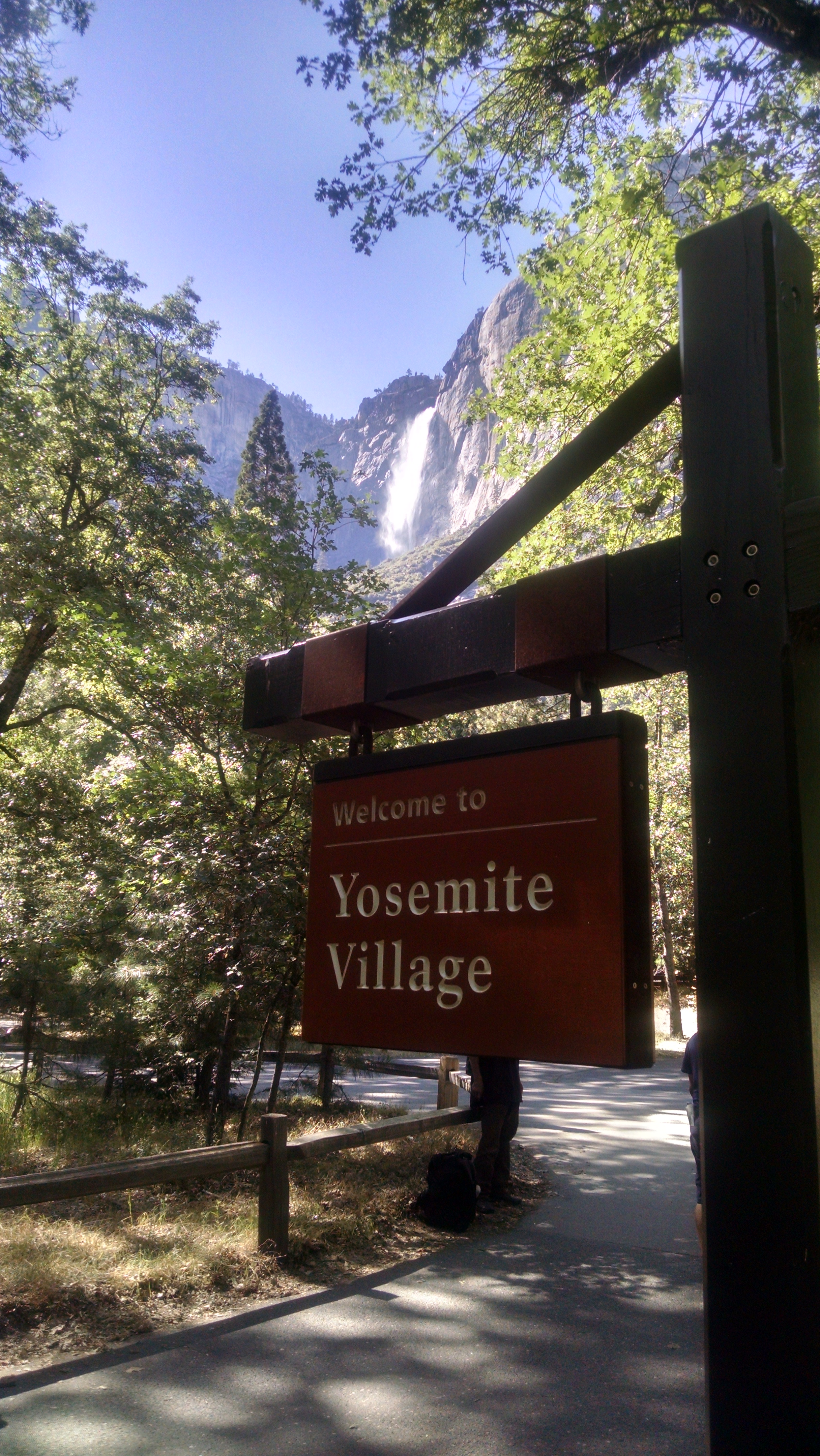
Yosemite Falls
Yosemite Falls

I remember a time when a friend of mine visited Yosemite and decided if you stood in the right place you could turn your head 360 degrees and see all the highlights. I don’t mention John’s name, in order to protect the Zahara family, but the story has become comic lore in our family. In fact so much so that my oldest son Daniel, obviously monitoring my SPOT location and realizing I am in the valley, texts “Doing the 360 spin tour?”

After a quicker than normal spin tour of the valley highlights, we return to Tuolumne Meadows with other thru-hikers on the $9 YART bus. On the message board is a note to us that Klutz and Mountain goat pushed on down the trail at 2:00. They were a half day behind, now they are a half day ahead.

You cannot trail camp within 4 miles of the trailhead and it is already 7:00 pm. We pay $6 each to stay at the backpacker’s campground, but our plans are clearly diverging. BLT wants to push big miles tomorrow, so he will have a short hike to Mammoth the next day. Big miles means 30 miles. I am not doing 30 mile days in the Sierra. DC has to wait until the store opens at 9:00, then will start hiking much later than I will start. When DC gets to Mammoth, he may have to zero a day or two to get his tooth fixed, or extracted.

So starting tomorrow all 5 of us will be hiking in the same direction, but not on the same schedule. We may meet again on the trail, or at a resupply town, but who knows. So it goes on the trail. You drift in and out of each others lives.


Day 72 – Glen Aulin

Mile 971 to 948

Dish Cloth wants to be within striking distance of Tuolumne Meadows, so we set our sights on Glen Aulin. It is a high Sierra camp 5 miles from Tuolumne Meadows, but 23 Sierra miles from us. Sierra miles seem to be significantly more difficult than normal miles. The passes are steep, the terrain rocky and wet, the elevations high, and the mosquitoes active. Several of the lakes are boiling with trout. I would love to stop and wet a line, but the mosquitoes are screaming something that sounds to me like “Come back in August!” Even the deer by the lake are twitchy from the clouds of ear biters. I almost offer them some of my Deet, but frankly I need it.

I run into a northbounder who warns me of a ranger ahead checking for permits and bear canisters. He just got a $125 ticket for improper food storage. He is not happy, but frankly got off easy. I have heard of much larger fines and hikers being escorted out of the park.

Carefree Marmot
Carefree Marmot

After a couple of passes, BLT and I lose Dish Cloth. He is back there to be sure, but we have not seen him. For the last few miles into Glen Aulin, BLT loses me.  I am tiring, plus I stop to video a mother grouse and her adorable three chicks. Later I video a marmot, who seems to be blocking the trail, demanding what I have no idea.

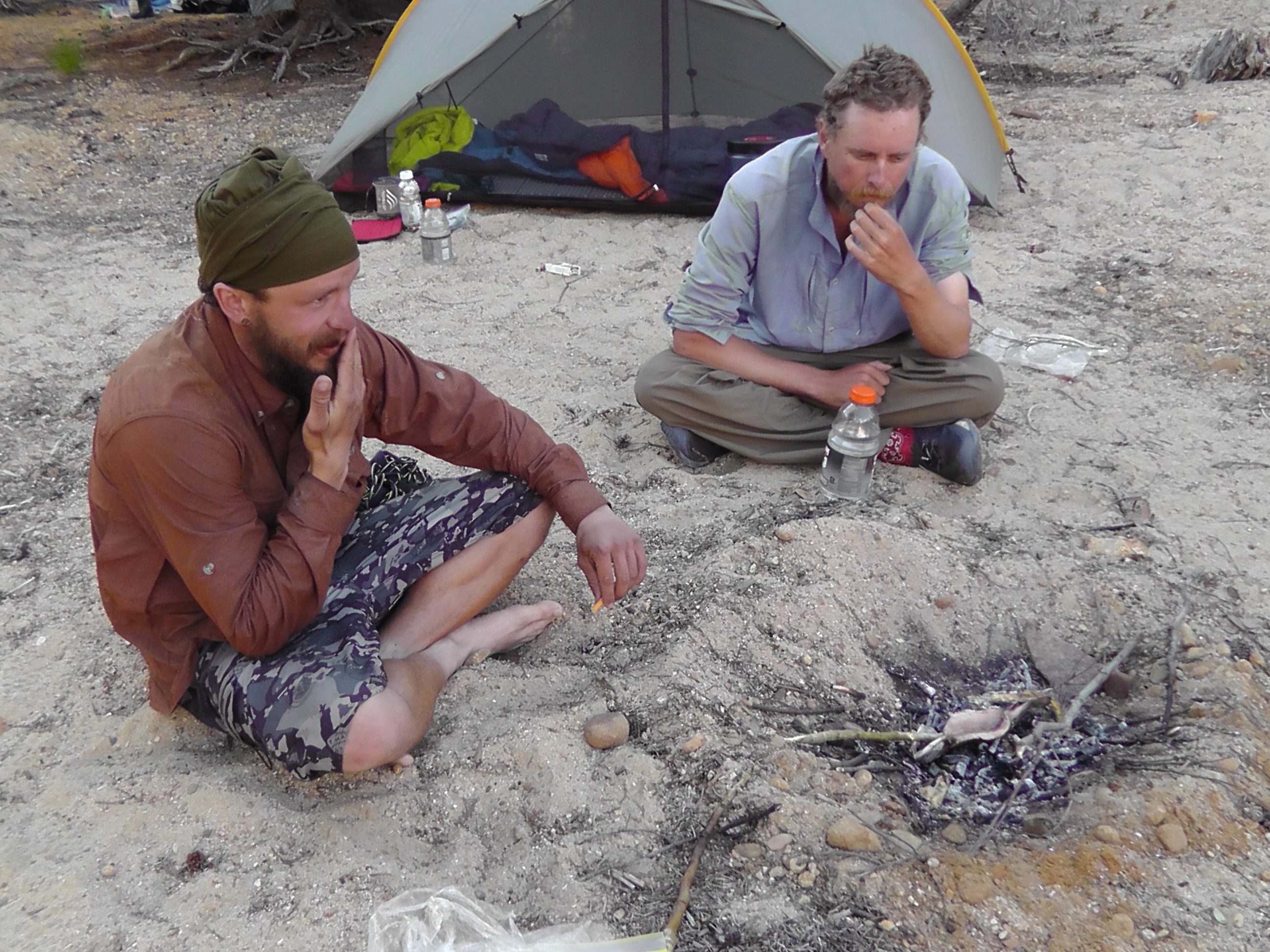
When I arrive at camp BLT is grinning from ear to ear. The guy setting up the high Sierra camp, which will open in a week, has given BLT some fresh caught and cleaned trout plus a loaf of bread made by his girlfriend. Yes the biblical fish and loaves clearly comes to mind. BLT and I setup our tents then swim very briefly in the freezing river. Eventually Dish Cloth shows up. He is now determined not to recommend more than 20 miles a day in the Sierras.

BLT and DC Cook Fish

While cooking the fish in a fire made in the sand, the ranger shows up. She wants to see bear canisters, permits and points out that fires should be in existing rings. The fish and bread are shared by several thru-hikers, including some northbounders. I am not sure we could have feed the masses, but we did pretty good. We fall asleep on the beach by the river, to the roaring sound of the massive cascade.

Glen Aulin Camp
Glen Aulin Camp


Day 71 – Moving Day

Mile 996 to 971

No Stopping
No Stopping

I had been warned that the 15 miles below Dorothy Lake are the worst for mosquitoes. One northbounder said he just ducked his head and ran the entire way. Another said it was bad, but not as bad as other places. It is like the passes. Each time l ask which pass is the worst, l get a different answer. I think wherever you happen to be during the worst of the storm is the worst pass. Similarly, I don’t think mosquito misery is determined by location, but environment. If the ground is wet, the air warm, and the wind calm, then that is the worst mosquito location. The next 15 miles, and even more it turns out, meet that mosquito perfect storm, well, perfectly.

Leaving Dorothy Lake I see a Pine Marten scurrying around a log. No time to stop my scurrying, because the mosquitoes are just warming up. This is moving day. Keep moving or you risk being sucked dry and looking like the empty casing left behind after a dragon fly nymph crawls up a water plant and transforms into its flying form.

Constantly moving helps put on the miles, but makes bathroom stops quite difficult. It seems strange to pray for the near hurricane winds I experienced in Patagonia, but its about the only thing that will knock these suckers off their game.

Wet Trails
Wet Trails

The constant moving makes staying together difficult. No one wants to slow for others, let alone stop and wait. Today there are lots of tricky water crossings, but determining the best action requires stopping to think, something we no longer are willing to do. No time to even take off shoes and socks, I plow through water up to and over my knees.

After 25 miles, I catch up to BLT and DC. We quickly setup tents and dive in for protection. Klutz and Mountain Goat must have setup a camp somewhere behind us. How far, we have no idea.

Day 70 – Into Yosemite

Mile 1017 to 996

I wake to the sound of no rain, a very welcome non-sound. After another cowboy breakfast we start the painful process of hitching back to the trailhead. There is no Terri or Daniel to take us. We are back to depending on the kindness of strangers. Apparently today, no one at the lodge is that kind of stranger, so we hike a mile to the highway to try our luck there.

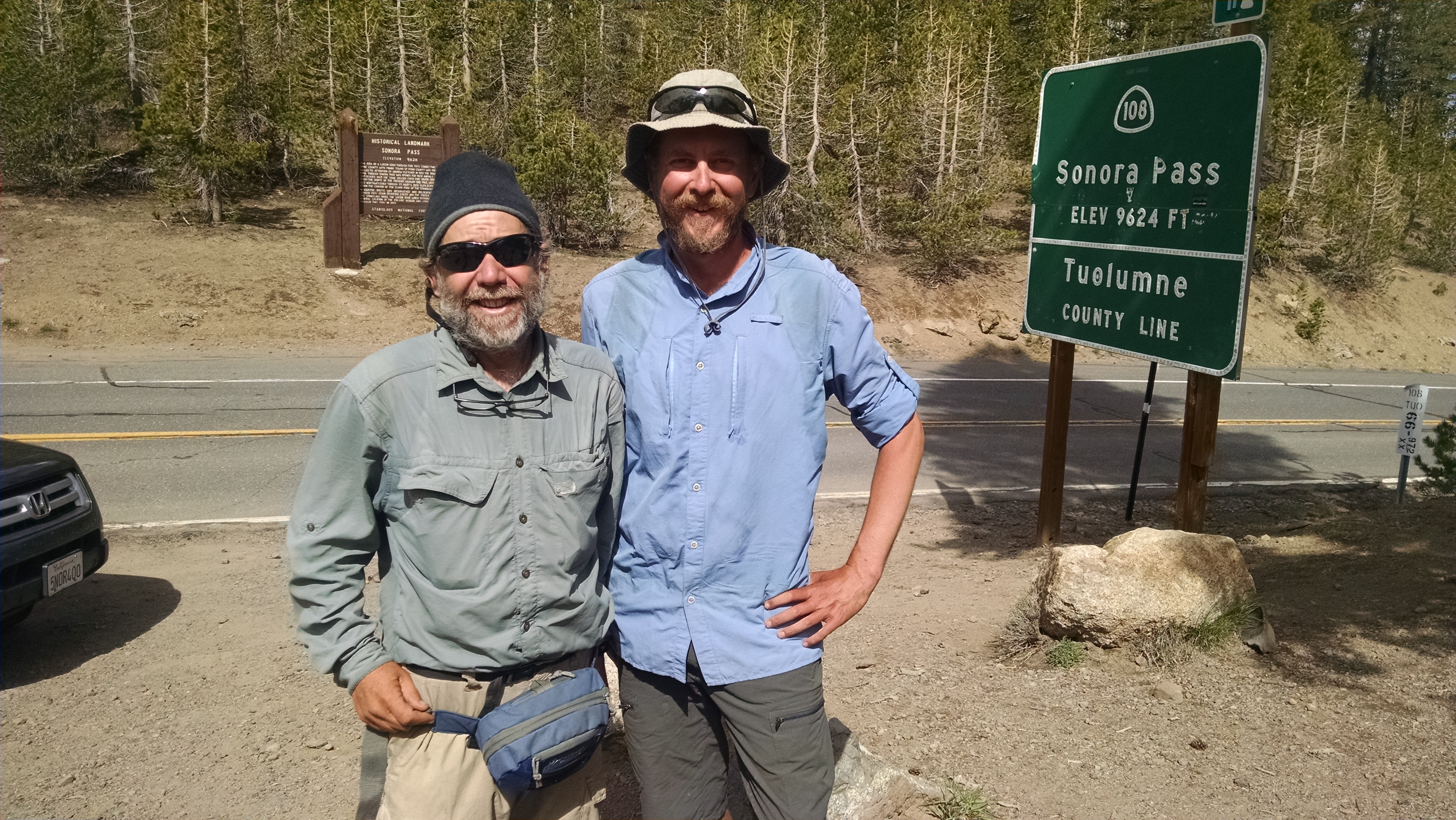
Sonora Pass
Sonora Pass

After what seems like an hour, a tiny sedan stops and four thru-hikers with packs climb in, like clowns getting into that tiny car at the circus. Only today not all the clowns fit, so Dish Cloth and I are left behind. Eventually a pickup truck stops and offers us a lift, if we are willing to ride in the bed. It is full of ice chests, propane tanks, fishing gear and who knows what else. Everything is soaking wet, but we smile and say thanks as we climb in. The ride from below 7,000 feet to 9,600 is freezing cold. At Sonora Pass we are anxious to get going, if only to thaw our blood.

PTC? Seriously?
PTC? Seriously?

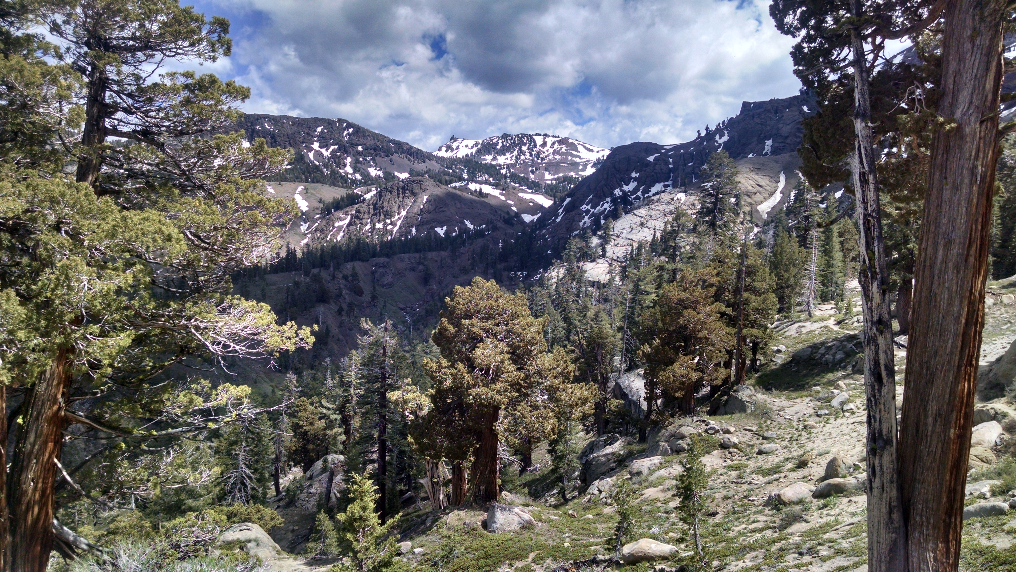
Most of the trail is covered in snow, but it is not as bad as we expected. All the rain from the day before may have helped melt the thinner spots. Dish Cloth, Klutz and I use GPS and stick close to the original trail route. BLT, Mountain Goat, and Loran decide to push straight up to a lower pass. We make good time up to and along the ridge, but there is no sign of the others. Their makeshift adventure leads them to cliffs and dead ends. They eventually double back and follow our prints in the snow.

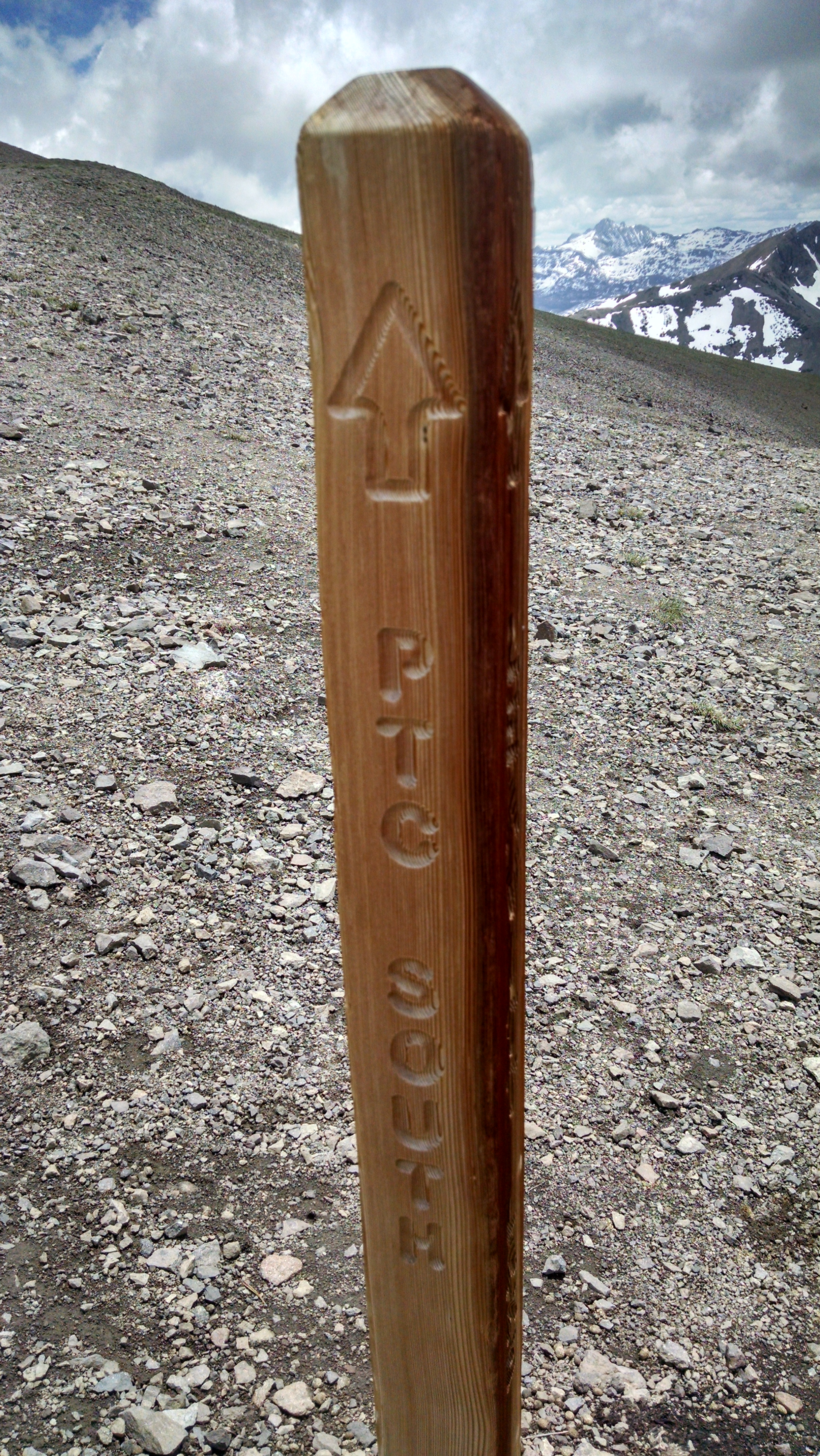
Along the ridge we get a good laugh at the PCT sign which mistakenly says “PTC”. After the ridge, we drop into Kennedy Canyon. There are several significant water crossings, some we can rock hop, but others we just wade. The mosquitoes are out in force. We practically run to keep from being eaten alive. We push on up and over Dorothy Pass to Dorothy Lake. We are now officially in Yosemite National Park. We share our camp with deer and marmots, both of whom seem very interested in licking our urine. I guess they crave the salt, which is why deer lick fishing pole and trekking pole handles. It is truly wild in the wild.

Down from Sonora Ridge
Dorothy Lake
Dorothy Lake

Day 69 – Zero Rain

Mile 1017 to 1017 (zero)

The rain stopped during the night, then started up again in the morning. We yell to each other from our tents, “What are we doing?”  We have a quick breakfast and pack up. We are either hiking up the massive Sonora Pass snow climb in the rain, or we are hitching back to Kennedy Meadow North.
When voting on whether or not it is safe to proceed, it is not simply majority rules. If it were, we would be hiking. Klutz is very uncomfortable heading directly into a storm. She is miserable when cold and wet, and the chances of being able to dry out are slim to none. We go to the highway to hitch back down. Dish Cloth and Loren arrive. They just hitched up to join us, but are quite happy to hitch back down. The forecast for today is 80% rain, which seems silly since it is 100% raining. Tomorrow’s forecast is only 20% chance and even less the following day. We split into two groups to hitch back.
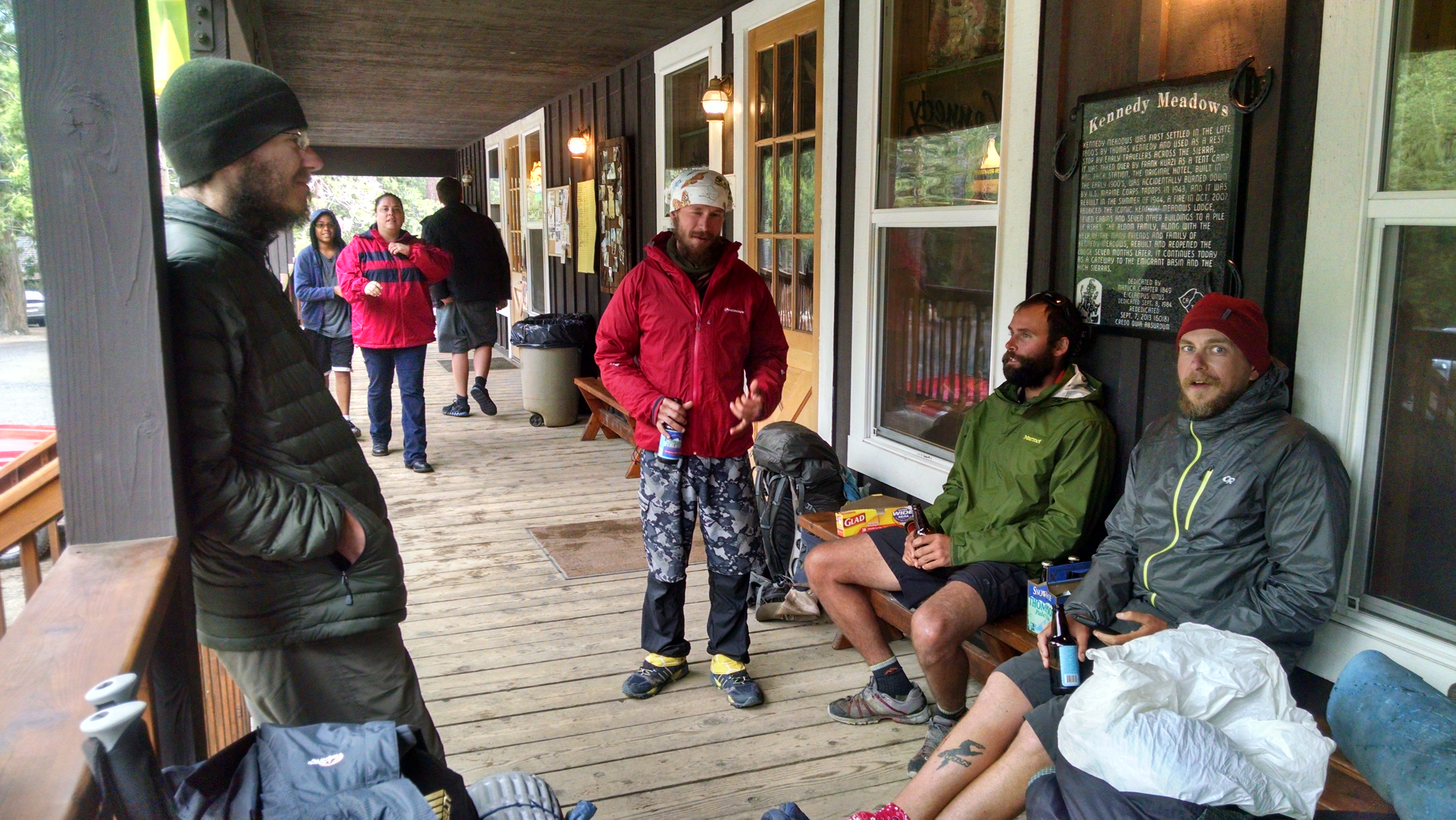
Porch Gang at Kennedy Meadows North

Back at Kennedy Meadows we relax on the porch, stare at the rain and toast Klutz’s better judgment. I load up on calories, ordering the cowboy breakfast and later a chili burger and fries. We rent a tiny cabin and cram in 6 hikers. It makes the cost reasonable, but tent and sleeping bag drying space is at a premium. Everyone here, including the workers, is tired of the rain. We can only imagine how wet, sloppy and miserable the snow climb/crawl/swim will be tomorrow.

This next stretch has extremely limited (meaning nonexistent) cell or wireless service. Any updates to this blog will be significantly delayed. The current plan is to get to Tuolumne Meadows, pick up a shipped resupply box and push on to Mammoth Lakes. Based on our food, we need to be making about 20 miles a day. Weather will be the most critical determining factor.

Day 68 – Sonora Pass

Mile 1024 to 1017

Pushing up the Pass
Pushing up the Pass

Terri and Daniel are scheduled to meet us at Sonora Pass. There is only 7 miles between me and my family. Unfortunately there is also a big climb and about 3 miles of snow.

We get an early start to avoid the softer snow. It is no where near as bad as what BLT went through the evening before, but it does give us a taste of what’s to come. Our shoes are wet and we occasionally posthole up to our knees, especially near the rocks. Rocks have a tendency to heat up in the day, melting the snow around them. When you punch through near a rock it can be quite surprising how deep your foot can go.

We have heard of many hikers getting their legs bloodied in the process, and of one hiking alone that got his leg stuck so long that he almost gave up and pressed his emergency beacon. I hear a blood curdling scream behind me, thankfully followed by laughter. Klutz has postholed practically to her waist.

Rick and Dish Cloth
Rick and Dish Cloth

After making it over the ridge, it is smooth sailing for the next 2.5 miles. I am practically running to see Terri and Daniel. Daniel has hiked part way up the trail, so he gets the first big hug. Soon after Terri gets the next. Terri had previously met Klutz and Mountain Goat, but now she gets to meet Dish Cloth (Towel, Rag, or other various ways I have screwed up his name).

At the car we gorge on delicious trail magic. Daniel has cooked ribs, which he serves to us like pulled pork on buns. Terri has a cooler full of strawberries, grapes, Starbucks iced coffee, Dr Pepper, full fat chocolate milk, apple juice, and water. We all pass on the water, given that is all we ever get to drink.

Daniel drives us from 9,600 feet down to Kennedy Meadows North, which is below 7,000 feet. We meet up with BLT, Loran, and other thru-hikers. We shower, do laundry, resupply and eat. We are not sure how everyone will fit in the car back to the trail. BLT takes a ride from some women with a dog.  While there, an exciting thunderstorm rolls through. A car arrives covered in hail. Loran and Dish Cloth decide to stay at Kennedy Meadows North for the night. Daniel and Terri drive Klutz, Mountain Goat and me back to 9,600 feet to find BLT.

When we arrive he sticks his head out of his tent, quite glad to see us. It is beginning to rain, so we quickly unload and say our goodbyes. Terri and Daniel are trying to get back within radio coverage for the Warrior’s game, and we need to pitch our tents and dive into cover. Tomorrow we have a huge snow climb, and we are praying for better weather.

The Gang at Kennedy Meadows North

Day 67 – Drafting

Mile 1041 to 1024

In auto racing and cycling, drafting provides a physical advantage. Tuck in behind someone and let them do more of the work. I am not convinced that backpacking provides much opportunity for physical drafting, but there appears to be emotional drafting. When you are hiking within eyesight of someone, it can keep you moving. If they can keep going, well then clearly I can too. They made that switchback without stopping, surely I can.
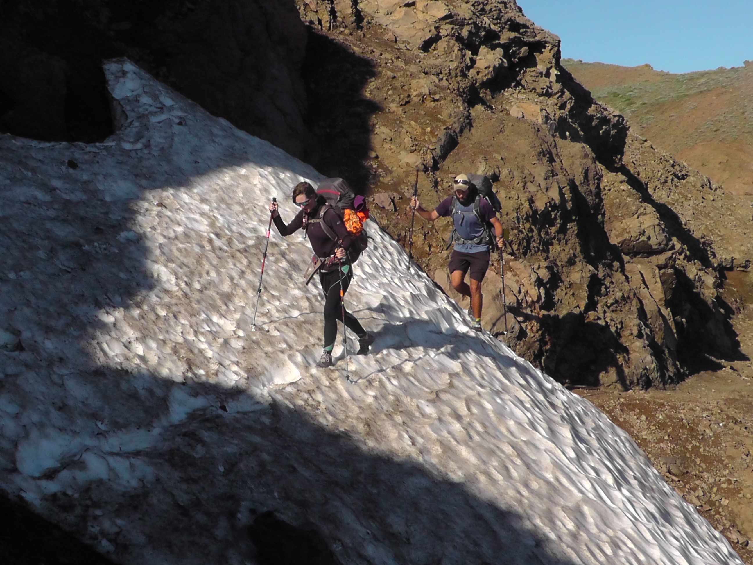
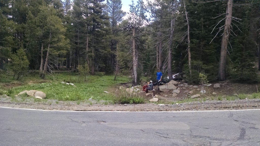
There is, however, an opposite effect that can happen when the distance between you continues to grow. He was just there. Am I really going that slow? I am never going to catch him. Oh come on, he has to go to the bathroom at some point. I think of this as drag racing. The opposite of drafting.
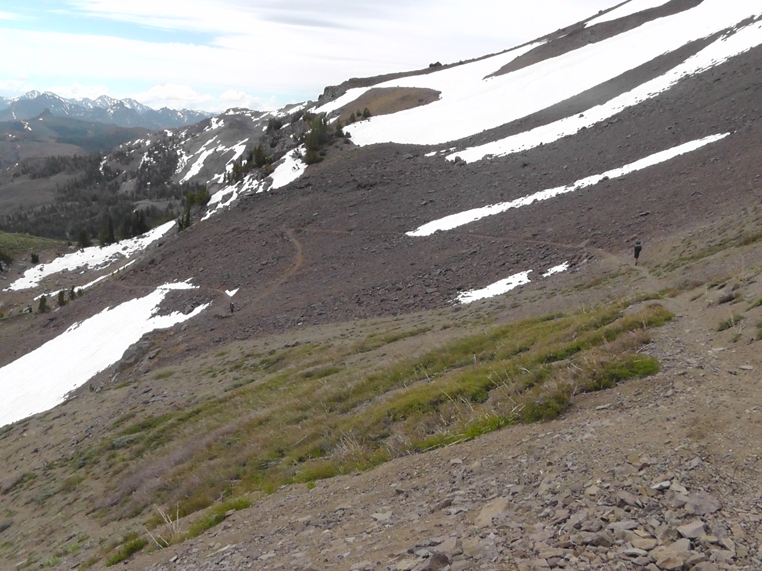
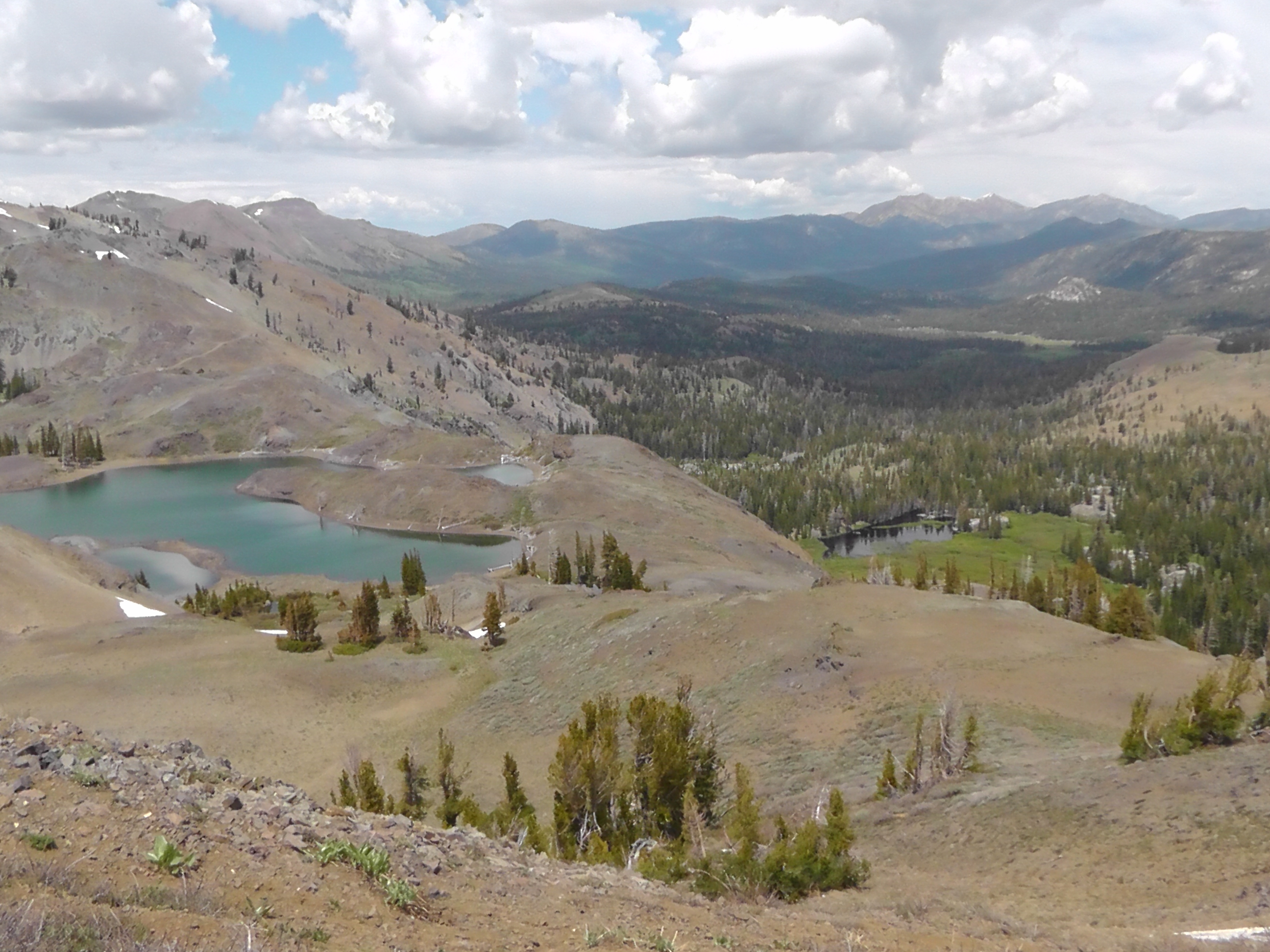
For backpackers, drafting or drag racing are mental. I am convinced thru-hiking is 80% mental. I think most people who meet me think I’m 100% mental, so I feel well positioned for this activity.

june8bltanddc
BLT and DC

There is no rain during the night, which makes it much easier to pack. It is Dish Cloth’s birthday. We set our sights on a tent site in a little over 17 miles. It will not get us as close to Highway 108 as we had hoped, but it will position us to hike the last 7 miles before the 3 miles of snow gets too wet and soggy. We have quite a lot of elevation change today and much of it steep.

We continue to meet more familiar faces, including Hot Mess, her mother GBH, and later Flash. We are very relieved to find that the rumors of Flash’s death on Foerster Pass were greatly exaggerated He appears relieved as well.

Again, we are not setting any speed records. BLT hears about a prime rib dinner at Kennedy Meadows North, and pushes on to the highway tonight. The rest of us stick to the original plan, knowing that Terri and Daniel we be monitoring my SPOT location in order to time their arrival at highway 108.

We are camped next to the muddy Carson River, which provides relaxing white noise. Clouds have been forming, but so far no thundershowers.

Day 66 – Reunions

Mile 1063 to 1041

Snowy Mountains
Snowy Mountains

Although the stars finally make an appearance late in the night, in the morning everything is still wet. The rain soaked the tent on the outside and the condensation did the same for the inside. I will need to find time to dry everything in the sun, but l can’t wait for that now. Everything gets packed up wet. I feel luckier than “7”, a northbound thru-hiker who managed to set his tent in a depression, which is now a fairly decent sized pond.

Today our goal is another 20 miler. We are trying to position ourselves for yet another 20 on Monday, and then an early arrival on Tuesday at highway 108. We hope to meet my wife Terri and son Daniel to help us resupply. The challenge is that there is a lot of snow before the highway. We want to camp as close as we can, but not in the snow.

Snow Traverse
Snow Traverse

We have increasing snow traverses on the north side of the mountains. We cross Highway 4, which is the same highway our cabin is on, about an hour to the west. Before the flip, I had envisioned getting picked up here and taken to our cabin for some R&R. Given the crazy snow at Sonora Pass (108), we actually need more help there.

Because we are about half way from where we jumped to Chester, we are starting to see Northbound hikers we know that pushed through – Rymond, Tinkers, Oatmeal, Whiskers, and more. It is fun to see them and share stories, but it significantly slows us down.

We camp by Asa lake. The mosquitoes are not as bad as feared, and we are hoping for a reprieve from the thundershowers.

Crossing Highway 4
Crossing Highway 4

Day 65 – The Truly Mocking Bird

Mile 1082 To 1063

The mocking bird is misnamed. It is really more of a mimicking bird. It has a talent for reproducing the songs of other birds, and like me, seems to posses an unnatural fondness for the sound of its own voice.

Snow Drift
Snow Drift

There is however another bird, a truly mocking bird of the cruelest kind. It is the Mountain Chickadee. Thru-hikers, when traveling at higher elevations such as Mount Laguna, Big Bear, or the Sierras, are subjected to its haunting mocking call. Oh sure, your grandmother may have taught you to recognize its call as “chick-a-dee-dee-dee.” And there are times when that’s exactly how it sounds. But there are other times when this cruel creature mocks thru-hikers in a manner reminiscent of a test in the Hunger Games. Once you know what this little bird is actually saying, you can never get it’s mocking call out of your mind. You will hear it over and over again, torturing you. The call of this little monster is clearly and unmistakably – “A Cheese Burger!”

I did not invent this claim of cheese burger. In fact, at a rest break I mentioned the haunting cheese burger bird to a thru-hiker. He immediately turned to his buddy and said “See, I told you that bird was saying Cheese Burger!”

The Chickadee could just as easily say “Brussels Sprouts” or “Blood Pudding”. But no, this little mocker clearly understands the power of words.

Vista
Vista

Our goal today is 20 miles. There is a tent site at Lilly Pond in 19 and change, which is close enough. We continue to traverse minor snow drifts, foreshadowing the significant snow we expect at Sonora Pass in a few days. The forecast again is for afternoon thunderstorms, yet we seem to be struggling to keep moving. It seems when we set a lower goal, we manage to live down to it. At highway 88 (Carson Pass) the visitor center volunteer rangers provide trail magic, in the form of apples and soda. We enjoy the magic, but it seems to be slowing us down rather than speeding us up. We see dark clouds around us all day, but nothing actually dumps on us.

It is Mountain Goat’s birthday, but we are actually celebrating crossing the 1,000 mile mark. It seems strange because the miles were counting up before the flip, but going south we are now counting down.

We do make it to camp in time to setup before the rain. Every time I come out of my tent it rains. When I go back in it stops. This happens enough times that I start believing I am the rain maker. We can see lightning, but so far the worst of the storm appears to be passing us to the west. By 8:00 it is our turn. It is raining pretty hard and continues for about an hour.

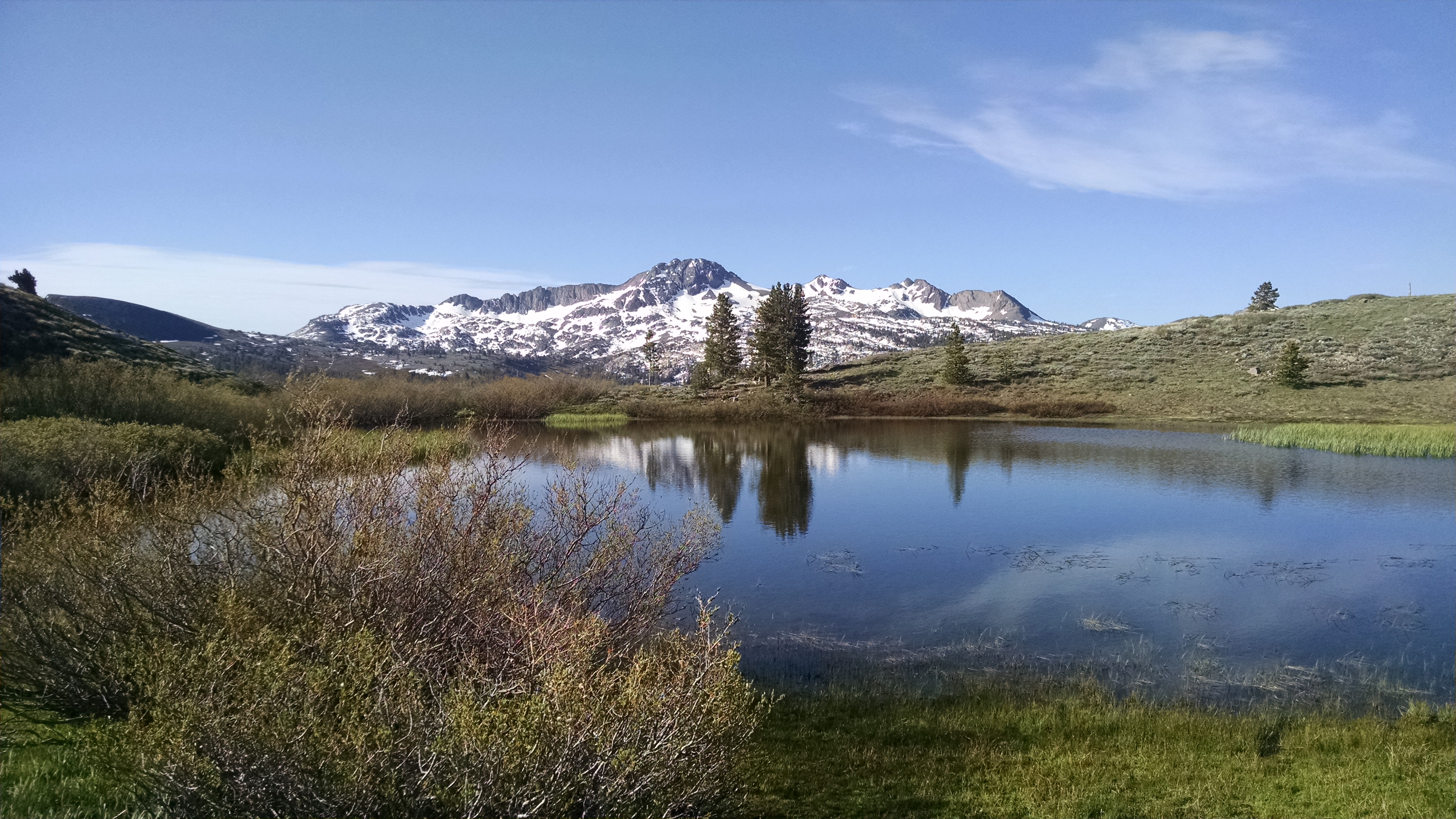
Lake reflection
Lake reflection

Day 64 – Thundershowers

Mile  1091 to 1082

I wake in a good mood. Last night we watched the Warriors beat the Cavs in game one overtime. We eat as much as we can of the cinnamon rolls and cherries, then check out. We take another death-walk down highway 50 to catch a bus to Stateline, then a second bus back to the outfitters. I grab a sausage biscuit and some coffee at McDonald’s, and scramble across the street to hitch to the trail.

An English woman, whose son just completed his Wilderness First Responder certification and is today in Search And Rescue (SAR) training, picks us up. She tells us that during the last snow storm he went backcountry skiing, crossed his tips and broke both bones in his leg. He had to coach his buddies through his own splinting and evacuation on a snowboard. She hopes that giving us a ride to the trail will bring good karma to her son when he needs it next. Perhaps I should change my hitch sign from “To Trail” to “Free Good Karma”.

Afternoon thundershowers are in the forecast. Our goal is to make 9 miles to a tent site by a small lake and get setup before the rain. We have a brief climb, then meander through trees and patches of melting snow. My shoes and socks again are soaking wet. Unlike the desert, there is water everywhere.

Mules
Mules

When we arrive at the lake there is a couple on mules, who have ridden in from highway 88. They ask BLT to take several pictures of them, wish us a safe journey, then ride off. I’m pretty sure the mules thought we were jackasses, since we were carrying our own load.

We set up tents and cook an early dinner just in time. Dark clouds roll in, bringing exciting lightning and thunder. The time between flash and bang quickens. Our elevation is over 8,500 feet, but so far we experience no snow or hail, just a good solid rain. Anything that melts the snow is welcome, but anything that adds to it is not. I can feel the temperature dropping. It feels nice to be in my down sleeping quilt, just a little strange to be here before 5:00 pm. This could be a long night.

Lake
Lake side camp

Day 63 – Gearing Up

Zero

Pine Cone Resort
Pine Cone Resort

Today is a day to resupply and hide from the rain. We death-walk the highway to a breakfast place that turns out not to exist. Instead we grab a quick java at a coffee bar, then hike a trail back to Stateline. We skip the Nevada casino buffets and walk to a breakfast place in California, where the special is cream cheese stuffed French toast with fresh strawberries. We resupply at a dollar store and Safeway, do laundry and plan our next week.

Because it is a zero day, I figure this is a good time to share my gear and typical packing process, for those with interest in such topics.

I wake in my Z-pack 10 degree sleeping quilt. Because of mosquitoes, I am in my Protail Tarptent rather than cowboy camping. I pull my hiking pants and shirt from my cuben fiber sleeping quilt stuff sack, which I used as a pillow.  I change from my sleeping base layer into pants and shirt, and put on my Darn Tuff socks and Brooks Cascadia shoes. I crush the quilt into the stuff sack. I let the air out of my NeoAir xlite sleeping pad and roll it up. I stuff the clothes I am not wearing (base layers, socks, sock liners, underwear, gloves) into a yellow stuff sack. My toiletries go in the light blue stuff sack – toothbrush, tooth paste, toilet paper, hand sanitizer, toe nail clippers, tiny pocket knife, Imodium, Band-Aids, etc. In my bright blue stuff sack go the electronics, extra batteries, cables, plugs, external batteries, etc. I push everything to the front of the tent and climb out.

After breakfast I pack up. I stuff my shirt pockets with today’s snacks. First into the backpack is my BearVault canister, standing upright. It is filled with all my remaining dinners, snacks, and breakfast. Next to it I tuck my empty Ursack, which I use to protect food and trash from rodents and bears. Also stuffed next to the canister is my Pocket Rocket stove, my Neoair sleeping pad, and my mess kit. The mess kit is a titanium pot in a homemade cozy, inside that is a titanium mug in another cozy and a tiny sponge. That makes layer 1.

For layer 2 I insert a trash compactor bag, and fill it with the things I do not want to get wet. Sleeping quilt, toiletries bag, electronics bag, down jacket, rain jacket and clothes bag. I tie the bag shut with a red wire tie. The pack cover clips shut.

In the side pouches I put my IsoPro fuel canister and SmartWater liter water bottles. The back mesh pocket contains my Sawyer Squeeze water filter, Instaflator air pump for sleeping pad, SeaToSummit long handled titanium spoon, tiny towel, and various items like drying socks.

I brush out the tent, then remove the trekking poles which double as tent poles. They need to be resized back to 120cm, my preferred trekking pole length. I remove the stakes and stuff the tent into its stuff sack. The tent gets wrapped up in a small closed cell pad and strapped to the top of my pack. I shake off and fold up my Tyvek ground cloth. It is attached to the back of the pack with bungee cords built into the pack.

In the right pack belt pocket I have my smartphone, in the left is my headlamp, iPod nano and digital recorder which I never seem to use. My fanny pack has my video camera, batteries and extra SD cards. Around my neck hangs sunglasses and reading glasses. The entire ensemble is topped off with a ridiculously large sun hat.

I am probably missing a few items, but you get the general idea. It turns out you can survive for 5 months with a lot less stuff than you think.

And, oh yes. In my pants pocket is a plastic ziplock bag, containing my homemade Tyvek wallet, credit cards and cash. This last item seems to resolve everything else.

Day 62 – Echo Lakes

Mile 1098 to 1091

Aloha Lake in the Morning

Although l had feared wind, I have a surprisingly calm night. My tent is completely covered with lethargic mosquito-looking bugs, which thankfully are not. It is almost pathetic how easily I can flick them off. After hiking a brief incline, l head down to and along Echo Lakes. It is a resort community and there are cute boat-access only cabins. This entire stretch from the Desolation Wilderness to highway 50 is designated as no camping. Frankly, if you did, you would be in someone’s cabin yard.

Echo Lakes
Echo Lakes

Highway 50 is very busy, with cars and trucks moving fast. We hitch for an hour with no success. Klutz has a list of trail angels and I start dialing for saviors. I work through the entire list – mostly answering machines, an occasional I would love to help but I am in Florida right now, or Texas, or whatever. One Mike would love to help, but is in the middle of baking bread. Robert is out of town, but wants to help us anyway, so he offers us a 50% discount at a place he owns, the Pine Cone Resort in Zephyr Cove. It has a kitchenette, WiFi, cable TV, hot tub, sleeping for 6 in various beds and couches, and is close to Safeway and the post office. All this for two nights, including tax and fees, for $113.01. Divided by 5 of us, that’s $22.60, or $11.30 per night per person. Sweet!

Eventually another trail angel named Mike agrees to pick us up. He has to drive home, change cars, then drive 20 minutes to where we are. All this to drive 5 smelly strangers to a South Lake Tahoe outfitter.

On a side note: whenever we hitch a ride, we apologize for our smell. The typical reaction is: “Oh, I have smelled worse.” This actually means, “Yes, you smell terrible.” The problem with knowing the code is that you can also read what is NOT said. For example, a “Sorry for our smell,” which instead triggers: “lt’s all part of thru-hiking,” really means: “Yes, I have never smelled worse!”

After getting a few things at the outfitter, and feeding our faces, the reality of our accommodation choice becomes clear. It takes two buses, with a layover at Stateline, to get to Zephyr Cove. The bus driver takes us a stop too far, and we have to hitch back to the Pine Cone Resort. The “close” Safeway and post office is actually a mile death-defying road walk down highway 50. The magnet on the fridge is for a pizza joint that has been bought out by Domino’s, and they no longer actually deliver here because “We are in the middle of nowhere”. Luckily the local bar has decent food.

On a positive note, the place is quaint, has coin laundry and we can watch the Blackhawks win game one of NHL finals.

Day 61 – Dicks Pass

Mile 1122 to 1098

Richardson Lake
Richardson Lake

Today I leave camp early, knowing I will face significant snow going over Dicks Pass. It is over 9,000 feet high and approaching from the north means we are going up the unmelted side. What I did not realize is how many fantastic alpine lakes we will pass on this day. Before the pass is Richardson, Velma, Fontanillis, and Dicks.  After the pass we will visit Gilmore, Susie, Heather, and eventually Aloha.

Dicks Pass
Dicks Pass

The snow traverse going up Dicks Pass is over a mile. It is afternoon so the snow is soft and wet. We follow the tracks of others and only posthole occasionally. Though our feet are freezing, we laugh at how clean our trail running shoes now look. Near the pass are ski tracks from someone who clearly had a fun run down to Dicks Lake.

The other side is a long snowless traverse, with spectacular views of the rest of the lakes. We also encounter a fat, lazy marmot, who cares not the least that we are there.

We eventually tire of walking and begin looking for a campsite. We overshoot some of the better ones, and are now shore walking the spectacular island-dotted Aloha Lake. It is lined with snow and very exposed. We are warned by some young backpackers that it gets extremely windy near this lake. We walk until we eventually find a small clump of trees, which we hope will block the wind.

Looking down from DIcks Pass
Looking down at Dicks Lake
Aloha Lake
Aloha Lake

Day 60 – Ski Resorts

Mile 1144 to 1122

Resort climb
Resort climb

I wake to the sound of high gusting winds, but my tent is fairly protected in the trees. After a standard Pop-Tart and coffee breakfast, I hike 3 miles and discover where BLT and DC camped. They are up in a nasty exposed area, where they hardly slept from the howling wind and whistling tents.

We hike up and down several times, ranging from 7,000 feet to 8,500 feet elevation. We pass through Squaw Valley ski resort and home of the Winter Olympics. Later we pass through Alpine Meadows ski resort. We have to navigate several significant snow traverses, but it is the wind that creates the biggest challenge. Although the views of Lake Tahoe are breathtaking, the wind gusts threaten to blow us down the mountain and into the crystal blue water.

After getting water at the stream, we set up camp among the trees. We are joined by another thru-hiker Barefeet or Bearfeet, I am not quite sure. He is also flipping the Sierras south from Chester. He has been joined for this section by his father, and they manage to squeeze two tents in the tiny remaining flat spot.

Lake Tahoe
Lake Tahoe

Follow me on the trail.