Category Archives: Uncategorized

Day 56 – Sierra City

Mile 1195 To 1188

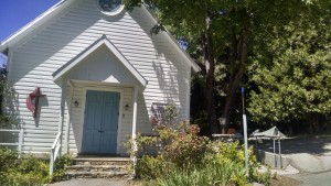
Methodist Church
Methodist Church

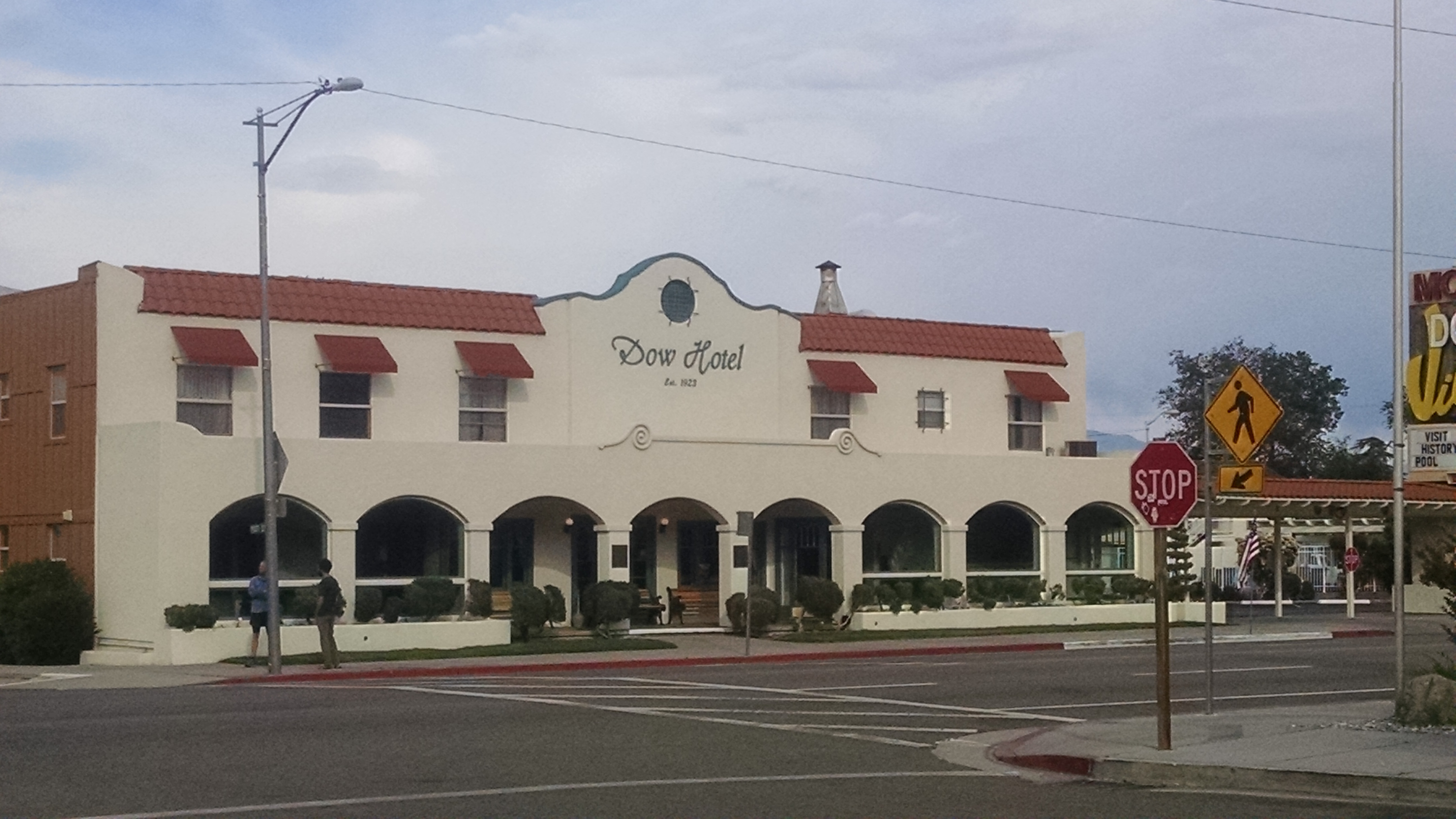
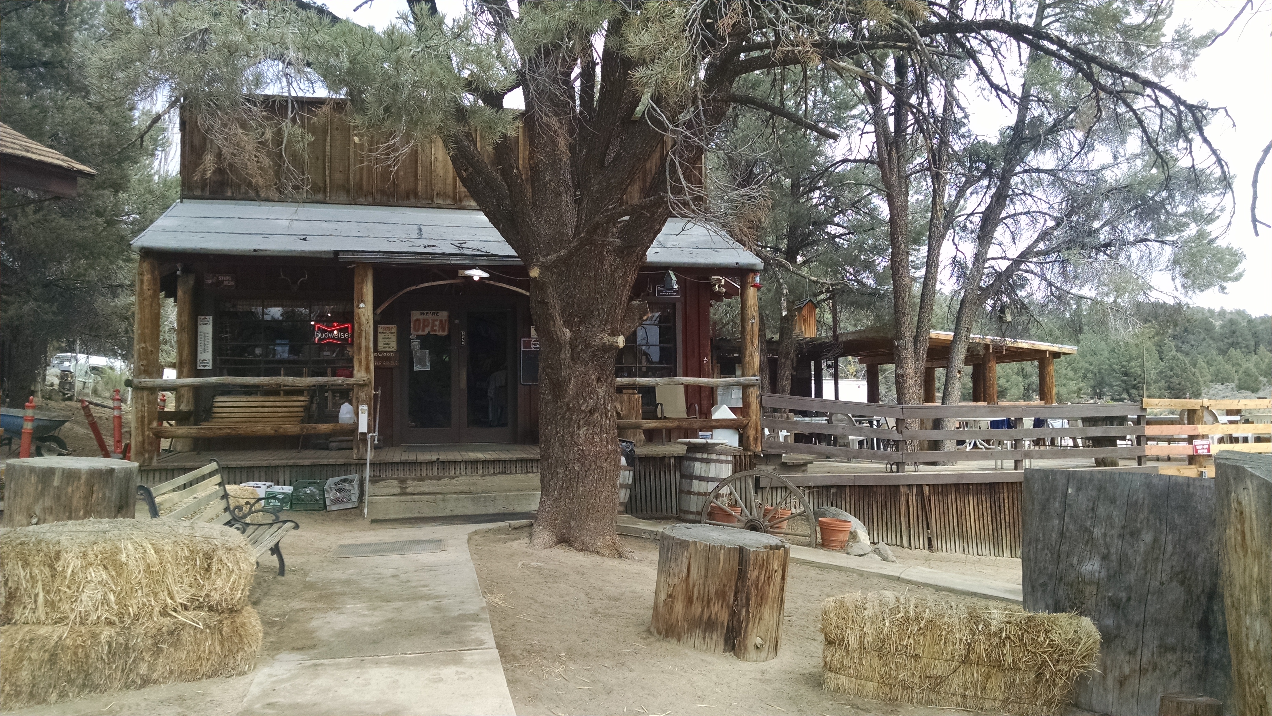
I try to sleep in, but of course cannot. The Red Moose restaurant does not open for breakfast until 7, which is like backpacker’s 10. I walk to the general store, which will not open until 11, to access their WiFi. Verizon is the only cell service and you have to stand in certain places, and perhaps make certain faces, to get it to work. The people are very hiker friendly, but their lifestyle is Mayberry RFD, and their technology may be from the same era. The guy we meet eating at the restaurant is the same guy who raises the town flag, runs the post office from 10 to 2 and repairs the public toilets. I know because I see him do all three.

The general store sells an odd variety of items, some backpacker friendly, some not. For example they have Snickers bars, but no Pop-Tarts. They have a massive quantity of Pasta Sides, but only one flavor. If you resupply for a week from here, you will have chicken flavored noodles every night. They do however have a grill, and make a one-pound burger rightly called the Gut Buster. They also make mean milkshakes of all flavors, so all is not lost.

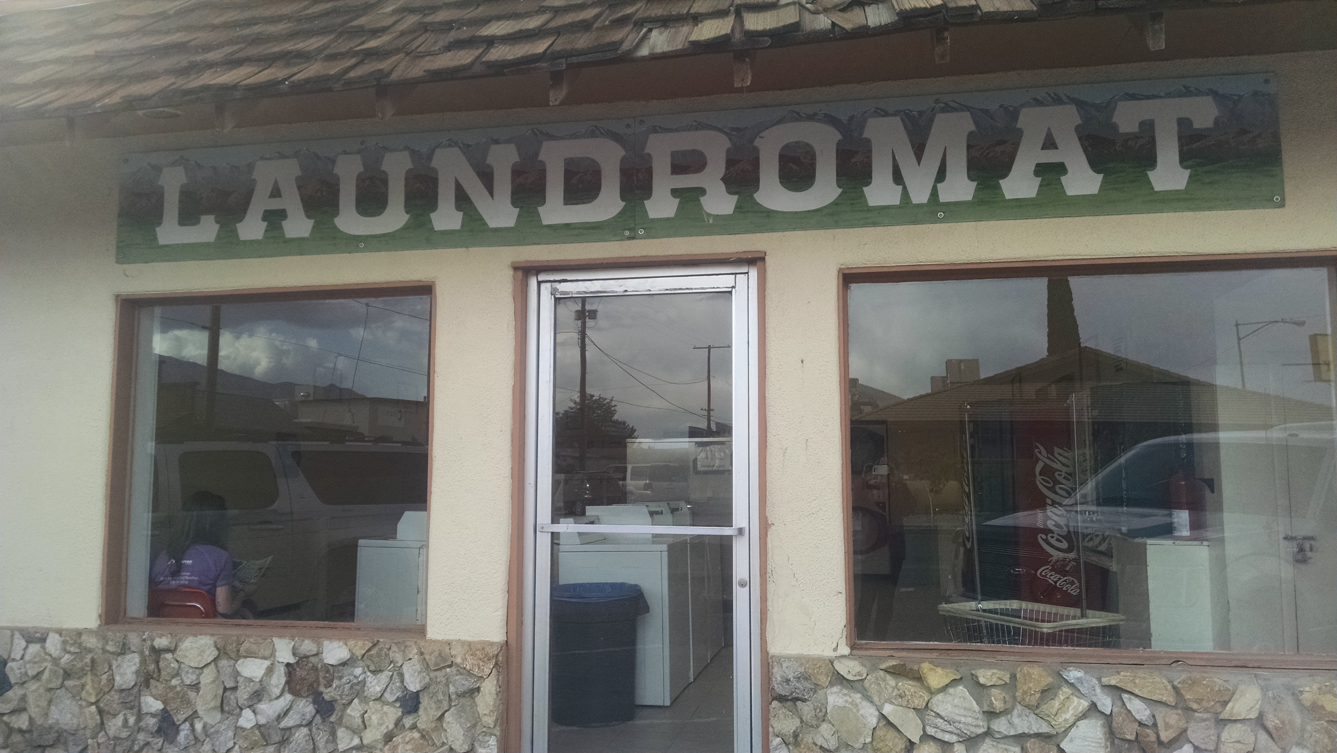
We decide to nero here rather than zero. There are only cold showers, one working machine at the laundry and no way to get a decent variety of resupply food. Klutz and Mountain Goat want to explore Truckee, so we resupply for two days and hitch out of town. A very nice guy drives us the mile and a half to the trail. While driving the windy mountain road, mid-sentence he suddenly stops talking and stares. I fear he has narcolepsy and is about to die in his sleep. It would have been more fun if we were in the town fire truck, plus the first responders would already be here.
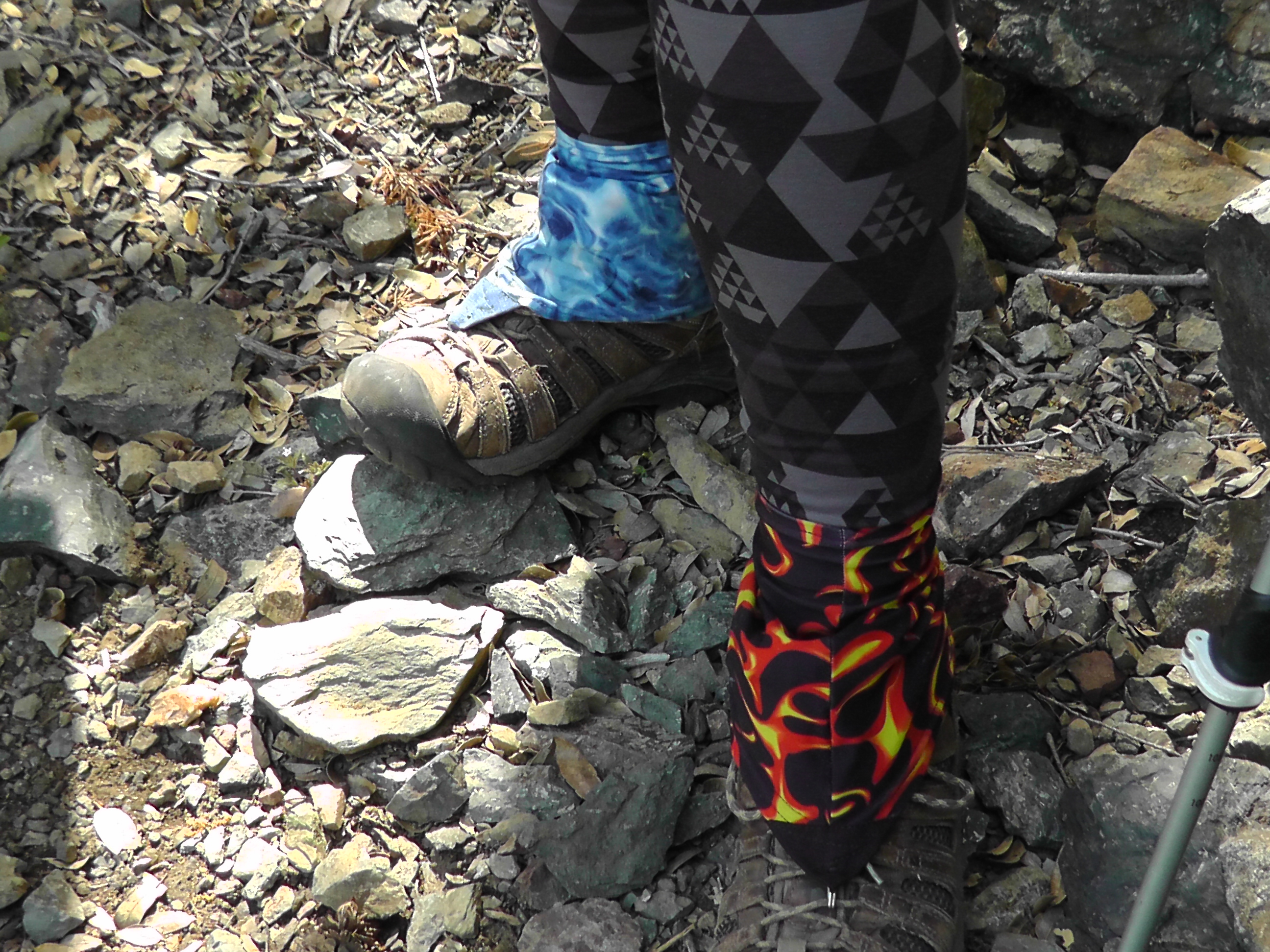
Mis-matching Dirty Girls

The hike out of town climbs quickly. We shoot for the top of the pass, which is just a little over 7 miles. On the way I meet MoBetter who is wearing mismatched Dirty Girl gaitors. I take a picture for Brian and check that off the scavenger hunt list. The funny part is she had been looking for me. She was told by someone way back in Big Bear that Rick had this on a scavenger list and that she needed to find me.

Dinner is quick and light. After Gut Busters we are not very hungry. I have crackers, peanut butter and a Baby Ruth.

While we are relaxing in our tents, a massive brown colored black bear crashes through our camp. Being on a high pass, we are on a bear highway. He seems not at all interested in us, our food, or our personal smell. After he goes, Klutz begins to imagine every sound as a bear. She calls me over to listen to growling, which I assure her is a bird, either an owl or a grouse. She seems relieved, but frankly I was disappointed. Repeated bear growling for no apparent reason is something I have not heard in the wilderness. I fear that as soon as I fall asleep and start snoring, she will call out for me to come listen.
Day 55 – Dot Racing

Mile 1221 to 1195

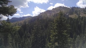
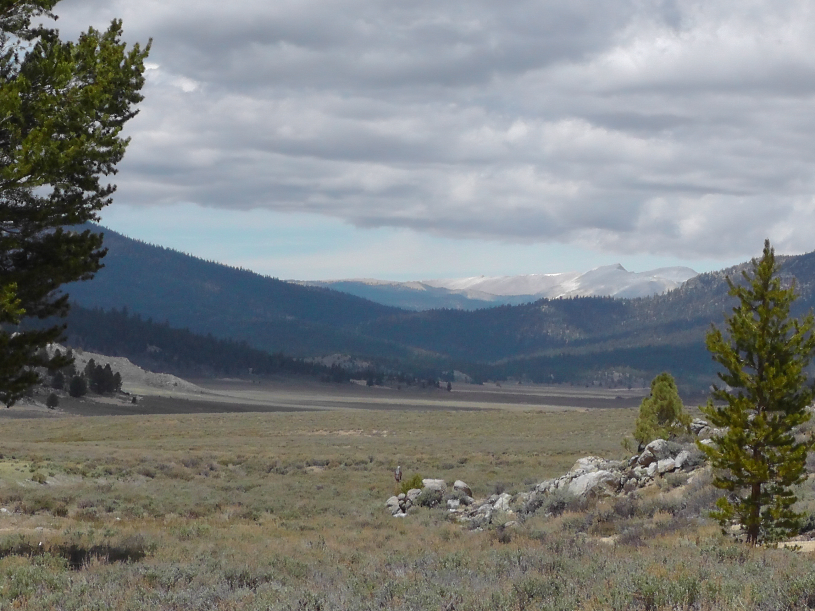
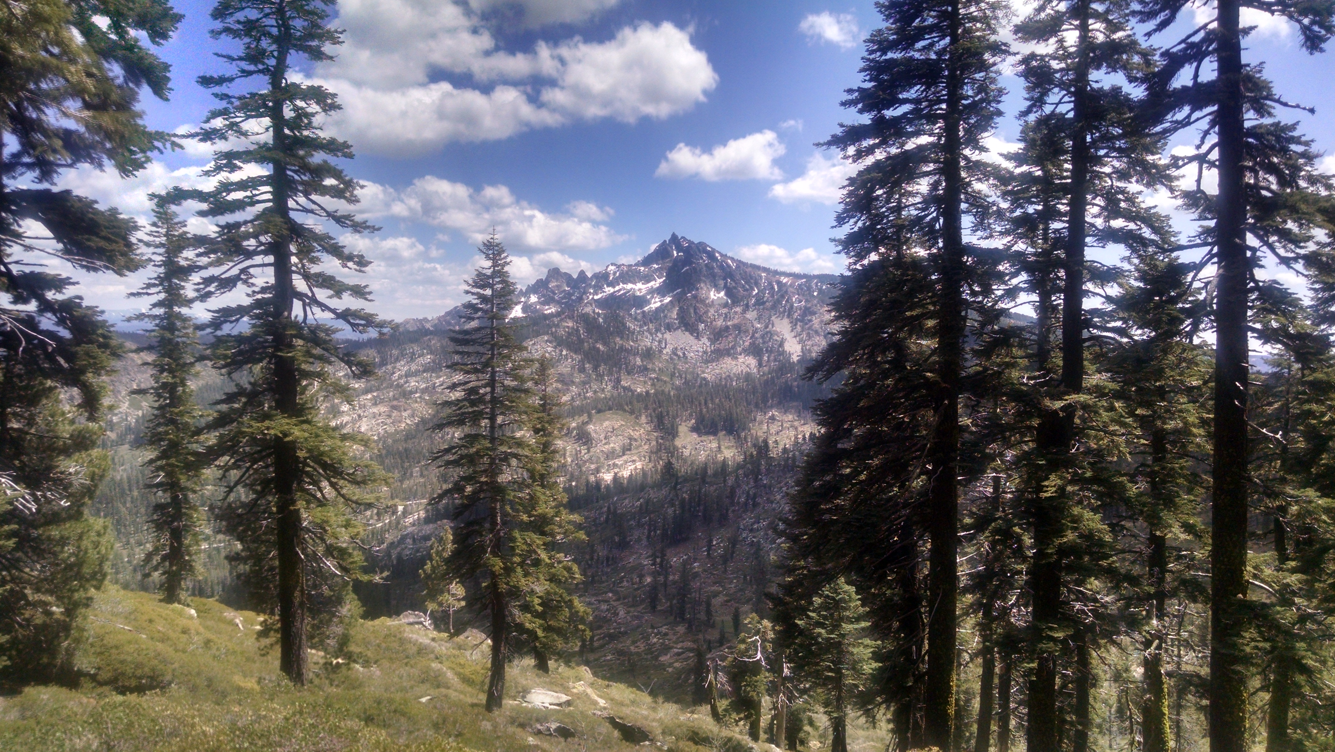
Typical view
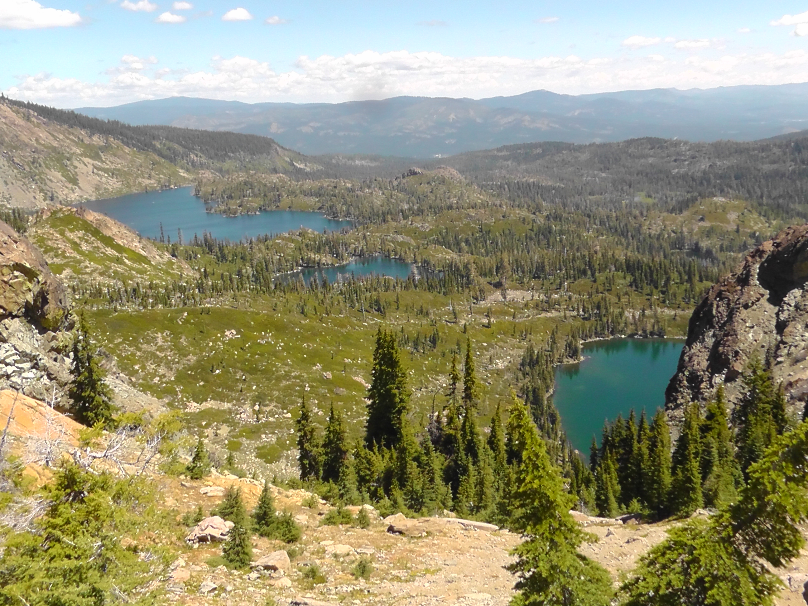
View

We wake 26 miles from the road to Sierra City. Our goal is to hike about 20 miles, then nero into town the next morning. Plans, however, do not always work out.

I am still amazed that Terri found me, following a tiny dot on her cell phone. It’s got me thinking about dots. Anyone who has been to a professional baseball game in the last 10 years has probably seen some form of dot racing. Three colored dots, one red, one white and one blue, race around a track on the scoreboard, with fans randomly rooting for their favorite. What causes a dot to speed up or slow down is completely unknown to us. The whole thing is ridiculous, but we watch anyway, and in the end two-thirds of us are disappointed for no logical reason.

Hiking, I sometimes feel like one of those dots. On my GPS maps I appear as a red dot. On the elevation profiles I appear as a blue dot. On the SPOT map I appear as a black dot. And just like dot racing, watching gives little to no indication of why I speed up, slow down or stop completely.

If you happen to see my racing dot suddenly appear to crash into a guard rail, it may be I am simply tired or lazy. It may, however, be one of many other reasons. Downed trees are blocking the trail. A large rattle snake refuses to give way. Bodily functions are being tended to. Water is being filtered at a spring. A deer is demanding to be photographed. Other hikers are being grilled for news. The correct trail at a trail split is being determined. Snacks are being snacked. A snow field is being navigated. A spectacular view requires attention. A water report is being read. A turned ankle is being yelled at. You get the idea.

Today, my dot stops to fix a rip in my pant leg. I drop my pack, unzip my pant leg, take out my sewing kit, thread a needle and stitch away. So the next time you wonder what that darn Rick is doing, remember that he may actually be darning.

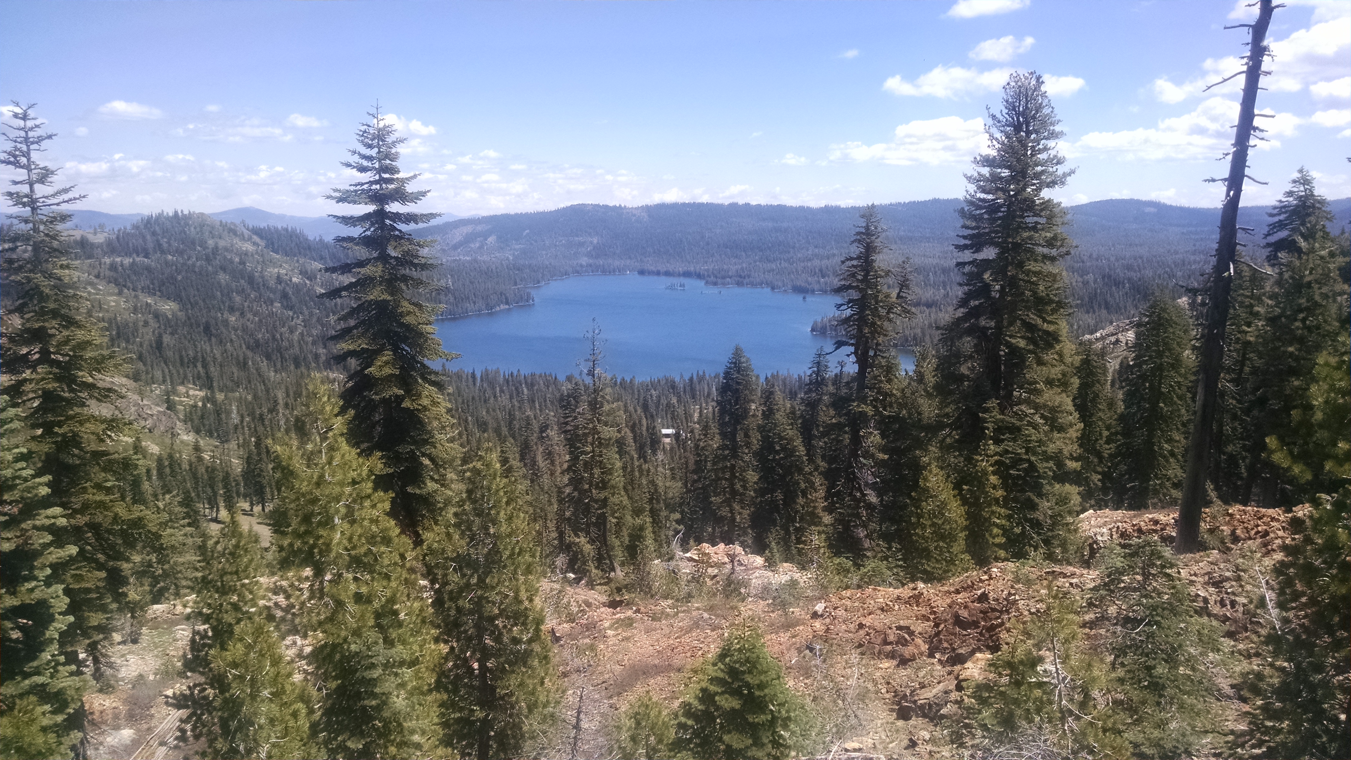
Lake Views
Lake Views

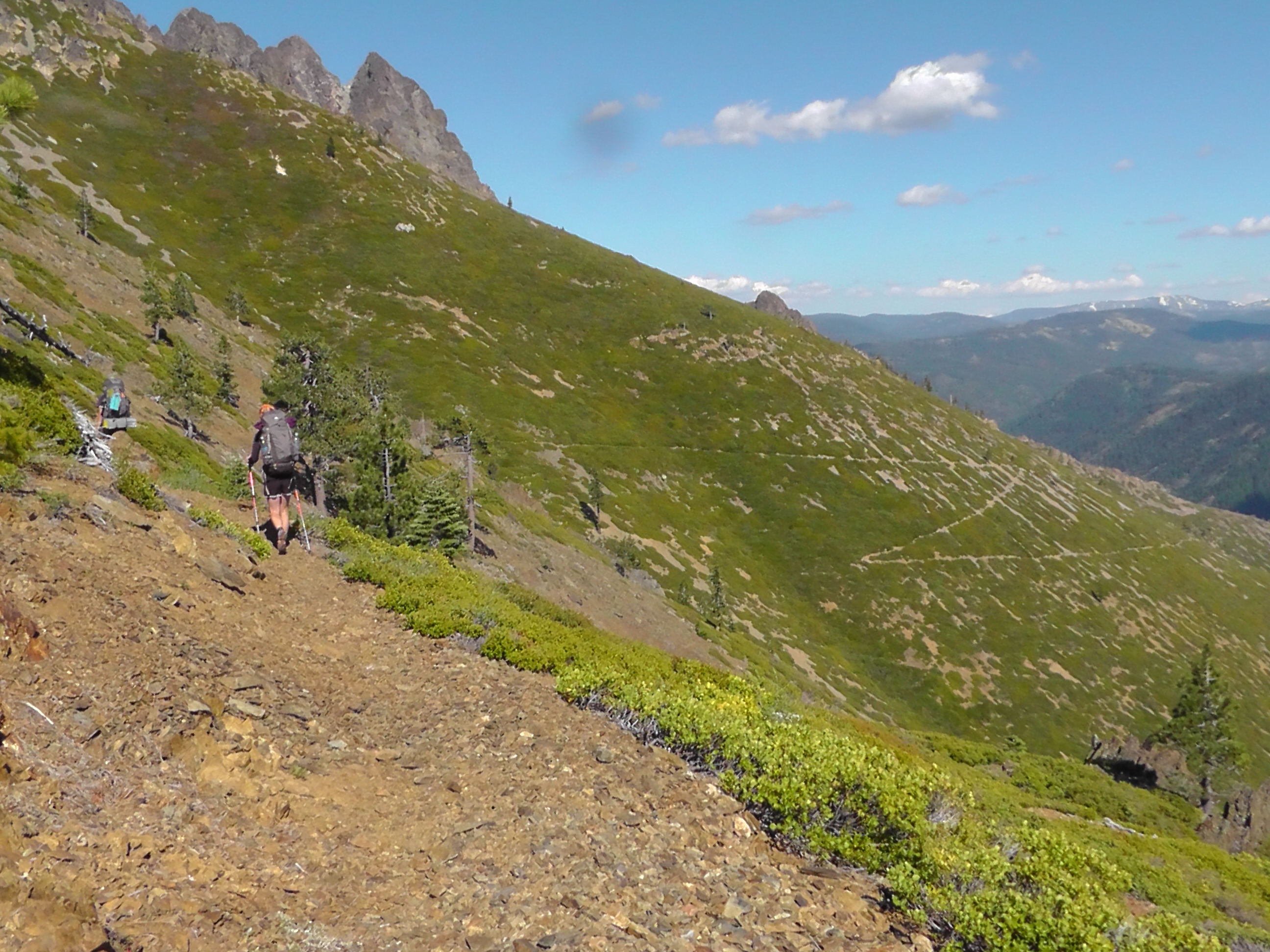
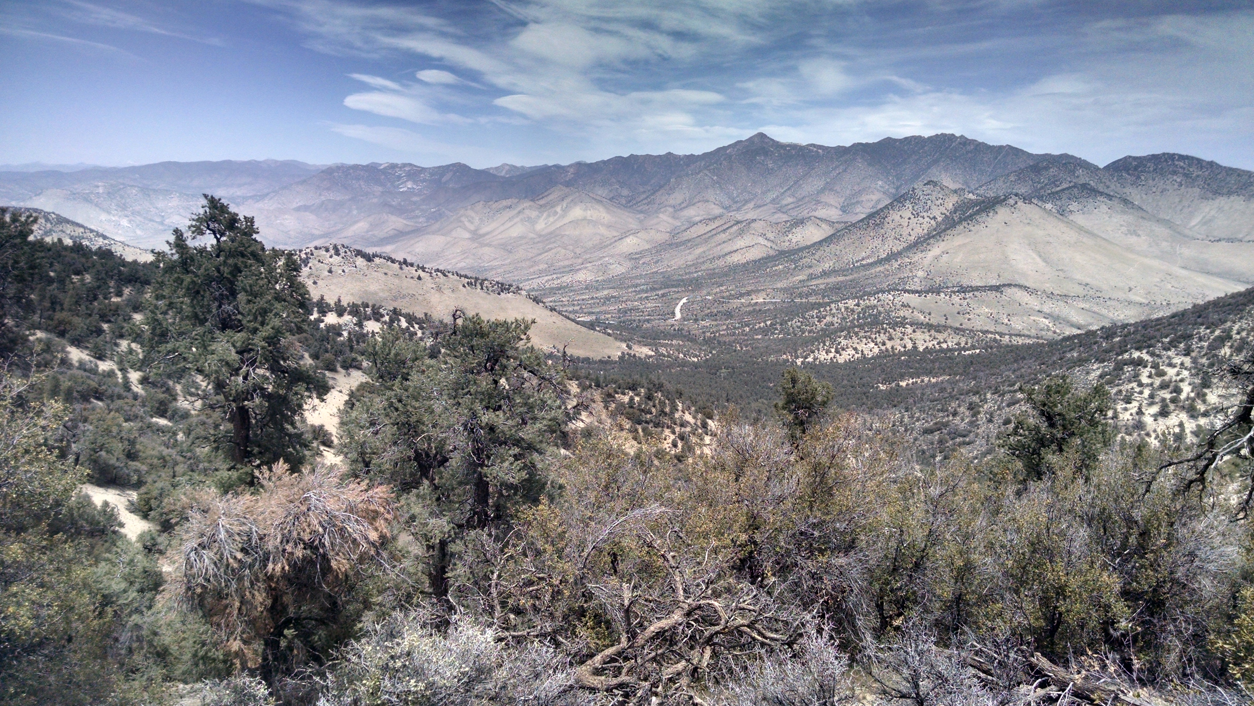
Today my dot is slowed by probably the most spectacular views of the entire trip. Given the combination of high bluffs, rock outcrops, the Sierra Buttes, the lookout tower, 360 panoramas and crystal clear lakes, it’s a wonder my dot moves at all.

My dot is also delayed by news from northbound hikers Crow and Ladybug. They jumped from Lone Pine to Echo Lake, the furthest south we have heard from. They came through snow and soaking trails. The north sides are clearly the worst, but seem doable. We still have not heard of hikers coming through from further south.

Sweeping Switchbacks

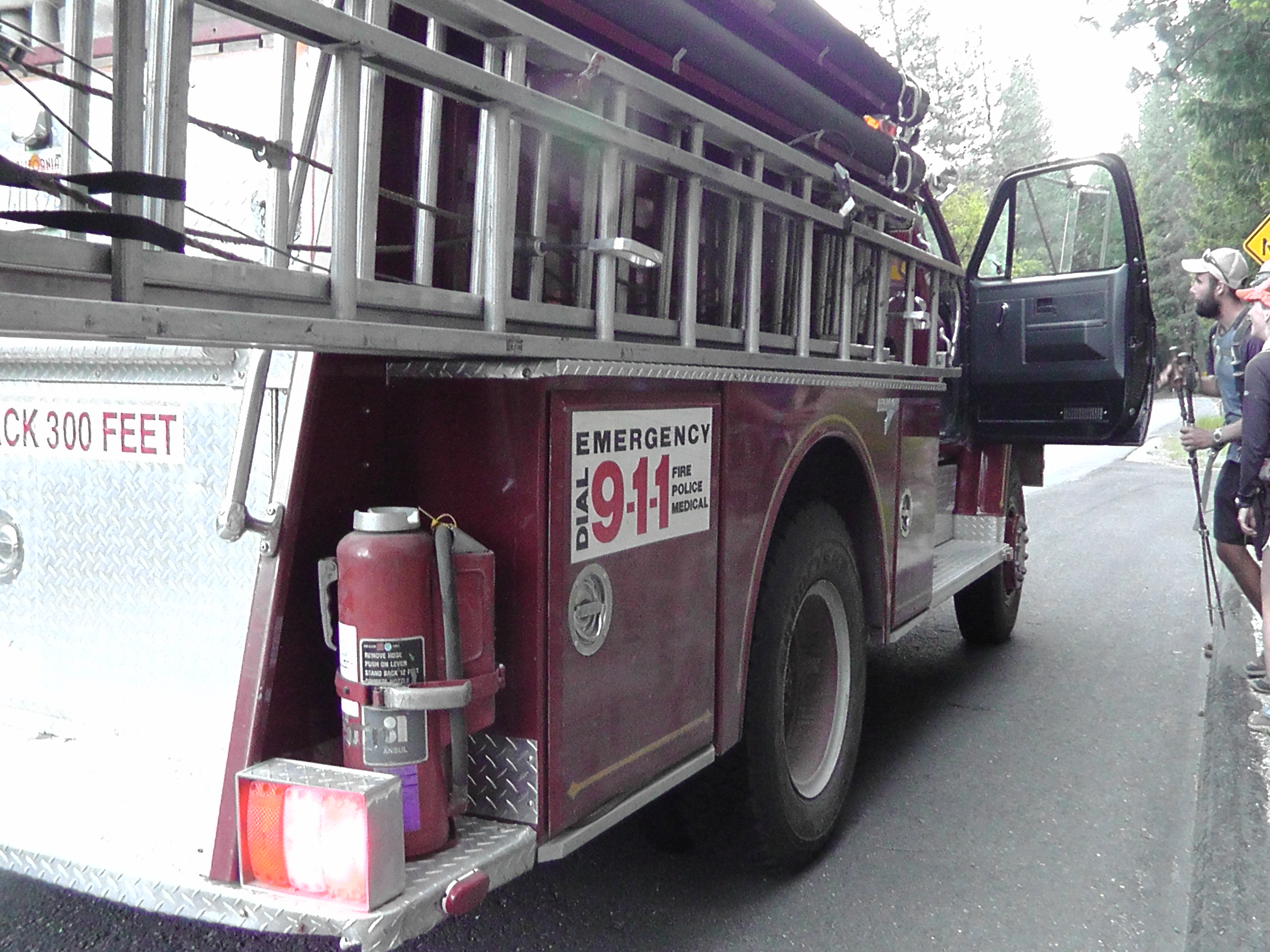
After 20 miles, our search for a campsite is now in vain. We are on a massive downhill of huge sweeping switchbacks, through treeless brush. The views again are dot stopping, but there is no where to camp. We hit the road at 26 miles and fail to acquire a hitch. A fire truck stops, but could not fit all three, so we just keep walking the mile and a half to Sierra City.  We camp at the United Methodist Church, which provides a grass area for tents, bathrooms, a picnic table and a power cord to charge electronics. Everything in town is closed by the time we arrive. We will check out Sierra City tomorrow.

Firetruck stops for hitch

Day 54 – A Dream

Mile 1241 to 1221

Was I Dreaming?
Was I Dreaming?

I wake as if in the final scene of the final episode of the Bob Newhart Show, except that neither Terri nor Susan Pleshette is lying next to me. What the heck just happened? Was it really just a dream? All night there was a haunting screeching in the wilderness. I thought it was my heart crying for Terri’s return, but the other thru-hikers said a hoot owl kept them up all night. I still have not completely ruled out the former explanation. If not for the half-eaten bag of cherries, and the now full bag of ibuprofen, I would have no tangible evidence she was even here.

In addition to my coffee and Pop-Tarts, I ask Mountain Goat and Klutz to help me finish off the cherries, which are fabulous.

We climb and drop several times between 5,000 and 7,000 feet. Every northbounder I encounter gets the same grilling: Where are you coming from? What do you know about the Sierra passes? Are people getting through? The problem is that most are thru-hikers who skipped the Sierras, and are still heading north after jumping to Truckee. In other words, it was bad when they skipped, and they have no new information. We are worried we did not jump far enough, and that we will be postholing in the snow very soon. We are even trying to slow down, hoping every day of sun will help the melt. We hope to get news in Sierra City of a better quality than we got in Kennedy Meadows, which was completely wrong.

We camp near a creek, not far from Country Mouse and Shadow. Right or wrong, they are on the same schedule we are. BLT and Dish Cloth finally catch up and join the encampment. We build a fire, tell stories and wonder what lies ahead.

Day 53 – Trail Magic

Mile 1260 To 1241

I wake to a stiff knee and pop some Ibuprofen. I am hoping the trail and the pain will not be a repeat of the last two days.  Although the tent is wet, I take time for a Starbucks Via coffee. I even treat myself to two Little Debbie’s. I am clearly giving myself every chance at success.

The trail starts with a couple of miles up. My knee feels surprisingly good. After some meandering ups and downs, the trail drops from 6,000 feet to 3,000 feet in seven miles. It was a huge down that broke me, then a monster up that did me in. Today, however, on this mountain rollercoaster I am holding my own. I would like to think that after two days, and about 50 miles of hell, my body has realized my determination and called off this painful nonsense. Arrogance and ignorance are dangerous friends. Instead, I am going to say it is trail magic and thank my lucky stars.

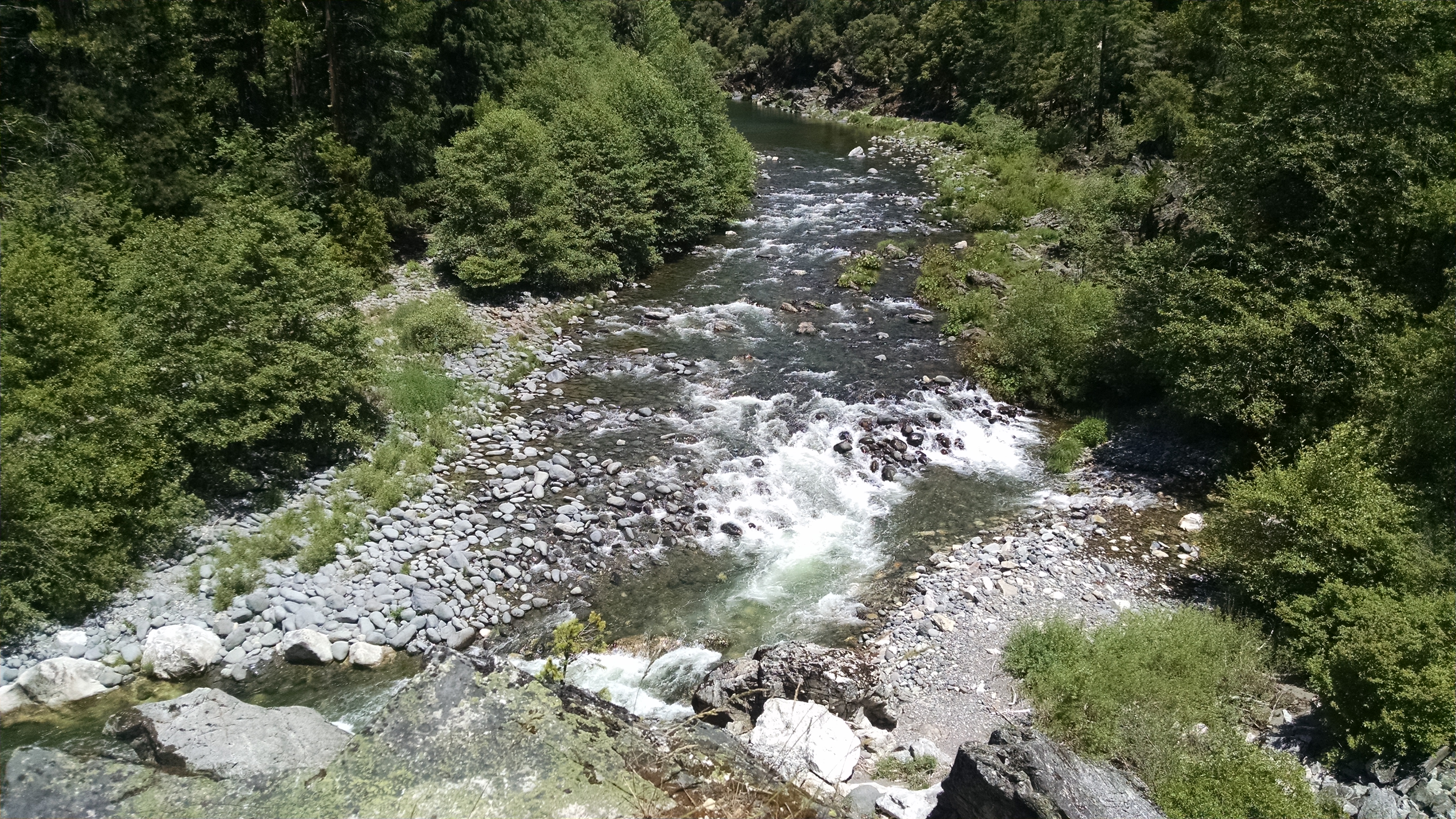
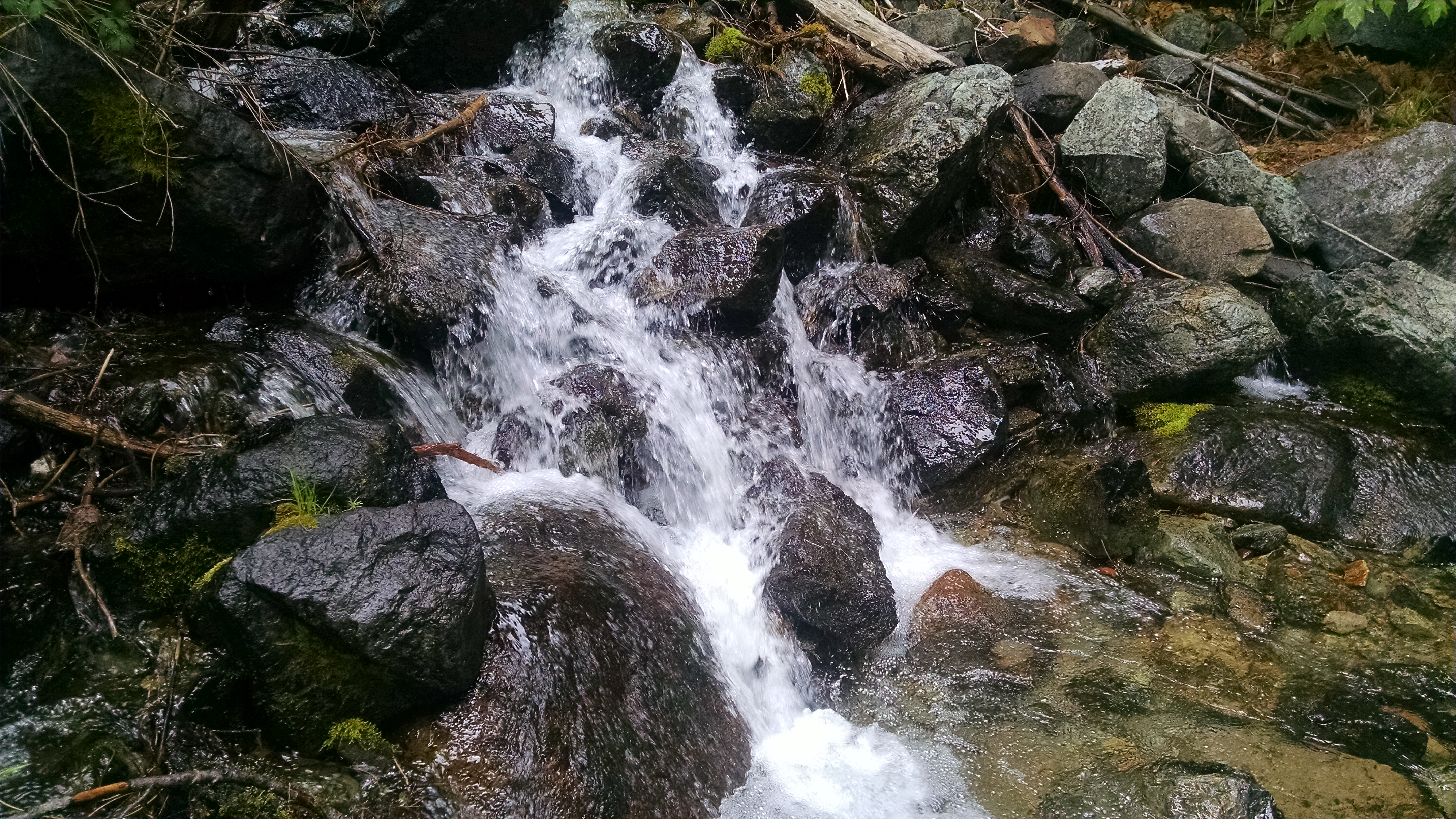
Clear flowing water
Clear flowing water

We stop to dry out our tents and bags by the river. I even soak my feet and rinse out my socks. It is better than any resort spa, just me and clear flowing water.

As we hike up a 2,000 foot climb, we encounter father and son fishermen, loading their truck. When they ask for and hear our story, they feel compelled to offer us apples, water and Cliff bars. They have instantly become trail angels by providing us trail magic. They also tell us of their own adventures by the river, involving multiple bear encounters. Based on the size of the scat we have been seeing on the trail, it is a very large male indeed.

After crossing several dirt roads, Klutz, Mountain Goat and I find a flat spot to pitch our tents. Country Mouse, Shadow, and Beaver later setup camp on the other side of the trail. I cook and eat dinner, again hiding from the mosquitoes.

Then real magic happens! Out of nowhere, someone is rattling something in a bottle and asking for Rick. I peer out my tent, and there standing before me, with a bottle of Advil, is my wife Terri. She has not seen me in over 50 days, and after having read the draft post about my knee, she drove 4 hours to provide some trail magic. Using my SPOT beacon, and some remote support from son Daniel and brother in-law Tom, Terri was able to track me down. She parked the car on a remote dirt road, and using her Android phone GPS and my check in coordinates, she hiked in to find me.

I hike with her back to the car and return with magic to share with everyone: orange juice, cherries, chocolate milk, Coke, and other random items. Everyone is totally amazed at the effort and ingenuity to track me down. But mostly they just smile and chomp on handfuls of cherries.

As quickly as she arrives, she disappears. She has a long ride home, and this little side trip was not really in her schedule. I would give up all the trail magic for one more hug. The whole thing is like a crazy dream. I will wake tomorrow unsure if she was really here.

Trail Angel Terri
Trail Angel Terri

Day 52 – Knee High

Mile 1284 to 1260

I wake early and pop some Ibuprofen. I slept in the knee brace. I am not sure it helps, but at least my placebo is in place and ready for action. Again no time for coffee, just snacks and go. I climb and cross the railroad tracks. So this is where all that rumbling and whistling was happening throughout the night.

may24backtobeldenThe climb is steep, and full of switchbacks. I start at about 2,000 feet and within 5 miles I am over 6,000 feet. My knee is screaming at me. It is warmer than it has been and there is sweat, and probably tears, streaming down my face. At a saddle I eat a Snickers bar laced with Ibuprofen. It is my new favorite treat. I continue up and over 7,000 feet.
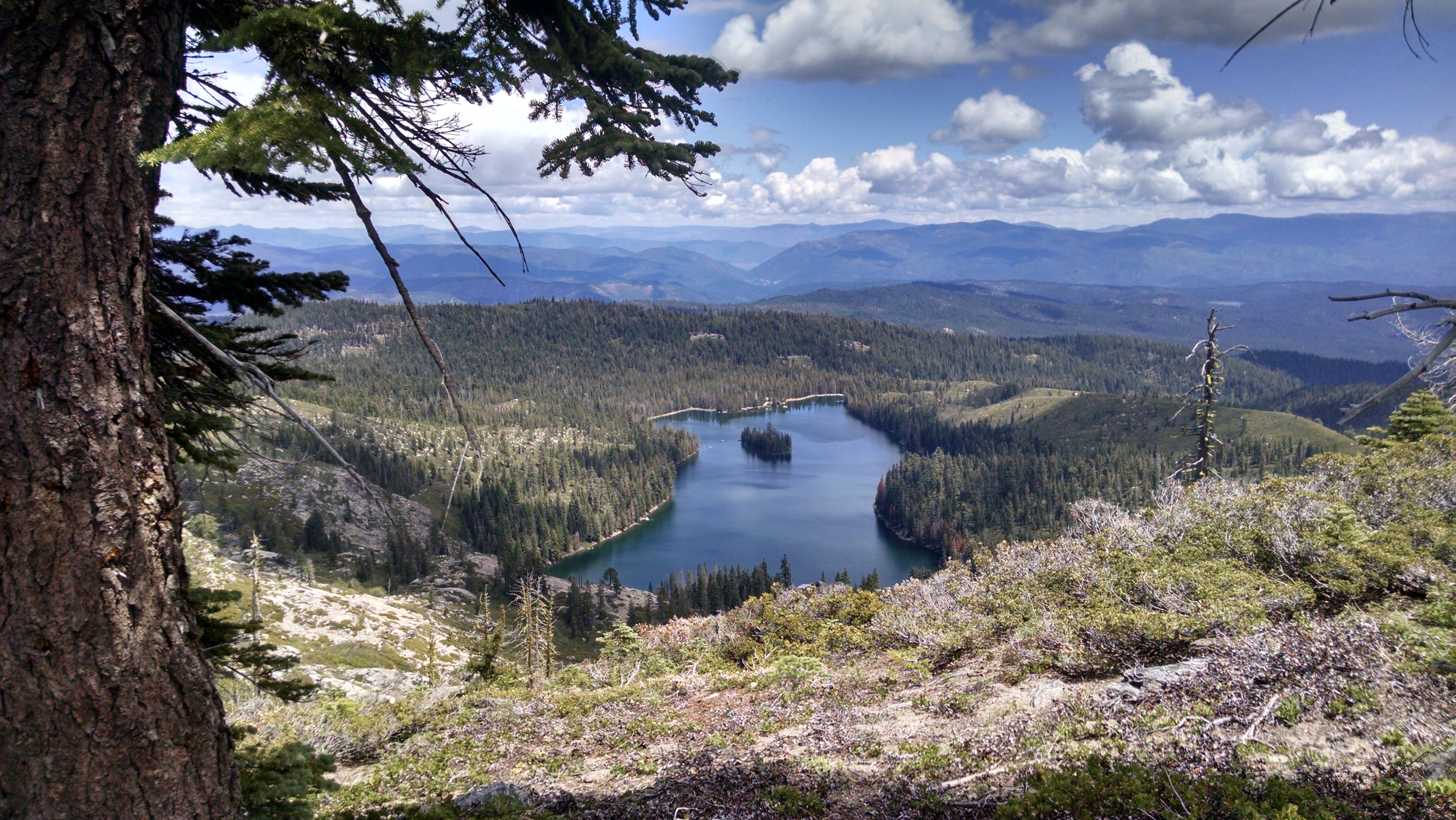
At the top I am rewarded with a more gentle tread and meandering elevations. The views back towards Belden are amazing, but not as amazing as the views the other direction.

I am walking along high bluffs, looking down on a series of tree lined lakes. I almost forget how much pain I am in. But I don’t. For the first time other than impassable snow, I can understand why people leave the trail.

Since we have 6 days of food for this 140 mile stretch, our goal is 23 miles. Because I am painfully slow today, I do not take many breaks. BLT and Dish Cloth were last seen heading to breakfast in Belden. Klutz and Mountain Goat stop for lunch and to dry gear. In my slow steady pace, I reach the 23 miles first. There is really no good place to set up a tent, but the light drizzle of moisture and the fog of mosquitoes encourage me to do so anyway. I hide in my tent and cook dinner by reaching my arms out under the netting.

Eventually Klutz and Mountain Goat arrive and set up camp. We do not ever see BLT or Dish Cloth. They are probably camped somewhere behind. I take more Ibuprofen and fall asleep.

Lake View
Lake View

Day 51 – Belden

Mile 1309 to 1284

I wake several times in the night. It is raining pretty hard. At our normal get up time it is still raining, and no one is moving. We each eventually pack everything we can in our tents. We are waiting for a break in the rain, or a break in our ability to deny our aching bladders. For me they both come at about the same time.

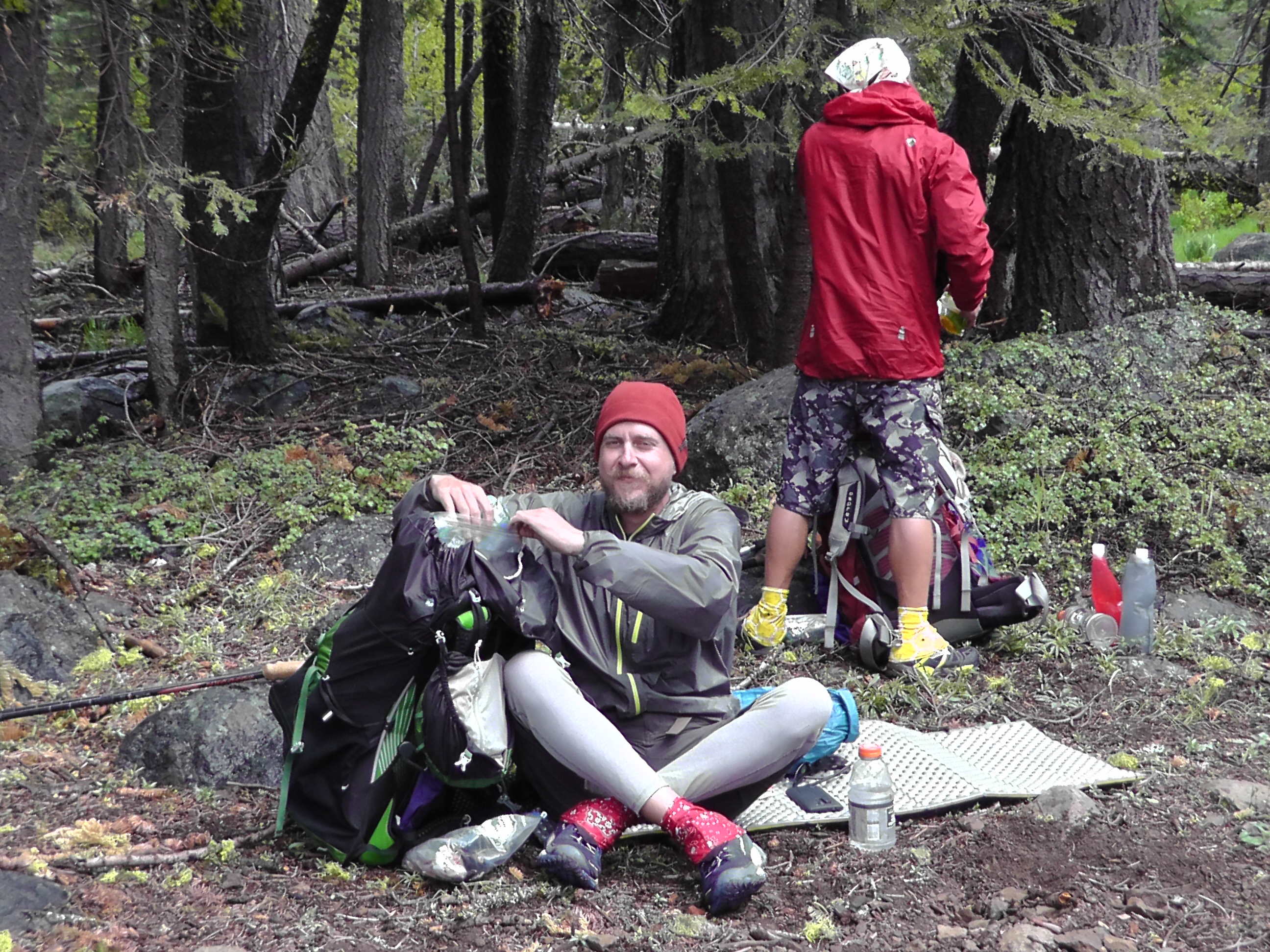
DC and BLT on Break
DC and BLT on Break

No coffee this morning. I just cram down some junk food, dried nuts and dried fruit. I pack the tent up soaking wet, hoping to have sun and time to dry it later. We trickle out into the mist and drizzle. I hike most of the day alone. BLT and Dish Cloth are stronger and far ahead. Sometimes when they stop to smoke I catch up, but it doesn’t last long. Klutz and Mountain Goat are not far behind me, yet far enough that I do not see them even once the entire 25 miles.

Although it is beginning to sound silly, today was the worst obstacle course yet. The trail was littered with fallen branches and trees, but now we have added an amazing number of seasonal stream crossings. The streams are all in season, and my aching body is cross. The streams occasionally stayed in the stream beds, but frankly seemed to prefer going down the trail. The brush is so thick that at times the trail is just an endless carwash of wet branches. I am soaked from head to foot and there is no lineup of guys with chamois to dry me.

Water Obstacles
Water Obstacles

The worst of the day, however, is my left knee. It is killing me. I am taking serious quantities of vitamin “I” (ibuprofen) which is helping, but I don’t really like taking it and I am not carrying that much. The 14 miles of downhill to Belden has done me in. I made it, but I am really worried about tomorrow, which is a boatload of up.

I have a burger at the Belden resort, and buy an elastic knee brace. I have about as much confidence in that as I do a rabbit’s foot, but they were out of those and vitamin “I”, which is what I really wanted.

There was never time to dry the tent. We are stealth camped in wet tents, at the bottom of the climb. Tomorrow is going to be my hardest day.

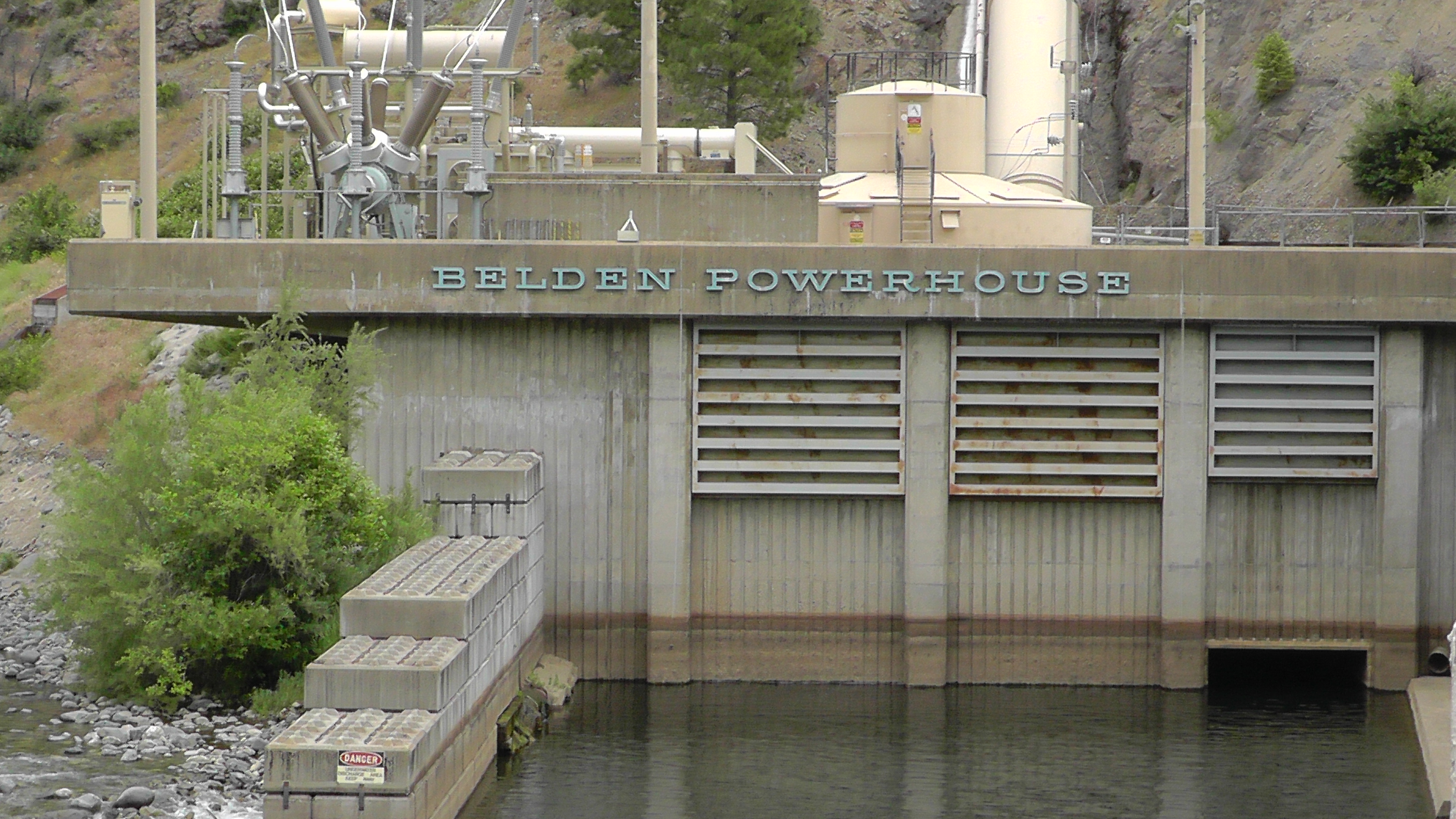
Belden Power
I need some Belden Power for tomorrow.

Day 50 – Southbound

Mile 1328 to 1309

Hiking Obstacles
Hiking Obstacles

We enjoy our last Chester breakfast buffet then check out of the hotel. Five of us head to the highway to hitch the 8 miles to the trail. We put Klutz, the only female, in front. Sexist yes, but it also works. A truck with a second bench seat pulls out of the gas station and stops. It is a retired Vietnam vet who has come to our rescue, and amazingly he has room for all five of us and our packs. On the way he shows us X-rays of his foot, where a disease caused by agent orange has destroyed his bones. It looks as though his bones have all been replaced by rods and pins. We thank him for his service and the ride.

It is great to be hiking again, though strange to be headed south. The pine needle covered forest floor feels great on our feet. This section of trail has been little used, and is littered with branches and fallen trees. I thought earlier sections were obstacle courses, but they got nothing on this section.

Trail Midpoint, not Trip Midpoint

We arrive at the halfway post. It is supposed to be halfway between Mexico and Canada, though the trail mileage has been recalculated and adjusted, so it is not exactly in the right place. For us it doesn’t matter. We are headed south and have not yet completed this section. For us the post is just a reminder that we are not getting to do the trail in the order we had hoped.

We encounter several northbound hikers, but none that made it through the high passes. These are thru-hikers that also scrambled out of the storms and have skipped the Sierras. They all had stories of whiteouts and freezing blizzards. Instead of doing this section south, they plan to hike from Tahoe north to Oregon, then come back and do this later.

Morels
Morels

One of the hikers mentions that there are plenty of morel mushrooms ahead. BLT has experience with mushrooms and gathers a full bag of them. The rest of us pass, preferring to risk our lives with pre-packaged Pasta Sides and instant mashed potatoes.

We arrive at a suitable camp, and pitch our tents just as it starts to rain. The rain is on and off. BLT cooks his mushrooms, while we practice both CPR and digging shallow graves with little poop shovels.

As soon as we are done with dinner, it begins to rain with a vengeance. We are still glad to be out of the snow and freezing temperatures. We hope for sunny days ahead, to dry our gear and to begin melting the snow now blocking our passes.

Day 49 – Chester

Zero

I wake and graze the breakfast buffet off and on from 6:00 am to 9:00 am. Klutz and Mountain Goat work with the local Post Office to figure out how to bounce their supply box, that is now in Susanville. It contains rain gear and maps they wanted, but will have to do without for now. The local sporting good is infested with heavy cotton clothing, suitable only for car camping. Oh well.

We figure out our food requirements, and supplement from the local grocery store. It will be strange heading south, but we are anxious to walk in any direction. It will, however, be fun to run into northbound hikers we have not seen in a quite a while.

BLT and Dish Cloth make it back from the rental return adventure. I watch the Warriors squeak past Houston in game two. They will have to win two more without me. Tomorrow we are back in the wilderness, with little to no cell service and Internet access.

Day 48 – Flip-Flop

Lone Pine to Chester

We wake early to catch the 6:15 am bus to Bishop. There is no one at the hotel desk to check us out. We search everywhere, but we are going to miss our bus. I eventually leave a note telling them to charge the room to my card and send a receipt via email.

Walking in Bishop
Walking in Bishop

The bus to Bishop is small and frequented by locals, including school kids, but it gets us there. One mile further and the incessant country music would have finished off several of the thru-hikers. We walk to the Best Western to speak firsthand to some hikers who made it through Forester Pass. Their stories are scary and do not sound at all fun. It reinforces our decision.

Ben picks us up and takes us to Enterprise office. Everything is great until I ask him for the address of the Susanville office where we should drop off the car. It is then Ben realizes that the Susanville office has closed. Yesterday Ben quoted me a one-way drop he now can’t deliver. We can drop the car in Reno, but the bus from there to Susanville is $22 x 5 of us. To make it worse, it does not run on the day we need to go. That means we would need a hotel in Reno.

Eventually we figure out we can drive the car all the way to Chester (near the trail), have someone drive back to Reno, drop the car, then somehow get back to Chester via buses or hitches. For all the hassle this creates, Ben knocks our rental down to a $100. We are not exactly sure what we are doing, but we are moving again, at a disorienting speed.

Our first goal is the next In And Out Burgers, which is not until Carson City. Our drive takes us through rain and hail.  Once the burger mission is complete we roll to the Susanville post office, hoping to pickup Klutz and Mountain Goats supply package. No such luck.

It is raining in Chester when Klutz, Mountain Goat and I check into a Best Western. BLT and Dish Cloth drive the car back to Reno. BLT has an aunt they hope to stay with, return the car in the morning, then get back to Chester via any means possible. We will probably have one more rainy zero day awaiting their return.

Best Western in Chester

Day 47 – Recovery Plan

Zero – Lone Pine

View from Lone Pine
View from Lone Pine

Thru-hikers have come down from the mountains to Lone Pine like ants come into your kitchen during the rain. They are everywhere, and seem to wander aimlessly. When these hiker ants meet they rub virtual antennas, exchanging what little information they have about the trail. We hear many stories from those who turned back. We also hear tales of a few who made it through. Ryman, who is a couple of days ahead, texts that he made it, but was miserable. He did not sleep the last two nights, freezing in the snow. Over Forester Pass was a complete whiteout. He has no idea how he would have made it without his cell phone GPS. He came out at Kearsarge and is not sure he wants to go back in.

Some hikers are planning to wait out the storms before going back. The forecast is not good. Many are worried about gobbling up their budget in hotel and restaurant expenses while waiting. Even with financial means, waiting around is torture. Hikers want to hike.

Others are planning to skip forward and come back for the Sierra later. A few, discouraged, are getting off the trail for good.

We decide to do a flip-flop. A flip-flop is when you hike the entire trail in one season, but not in the normal order. We will skip forward and hike back this section going south. Our goal is to enjoy the Sierras after some melt, rather than just survive them now. The question is how far north to jump so the passes are passable coming south. Our first thought is Reno/Truckee. After doing the math, we realize we would probably hit the northern snow passes too soon. Chester is near the mid way point of the PCT, which creates a nice sense of symmetry. We hiked the first quarter of the trail northbound. We will flip-flop the next quarter southbound. When we finish, we will flip back to complete the final half northbound again. This allows us to keep moving and still finish our trip when we cross the Canadian border. Now we just have to figure out how to make it happen.

A bus runs up highway 395 to Reno, but is $89 for each of us and does not run on Wednesday. We check car rentals. Only Enterprise will give us a one-way drop. We are told we can go from the Enterprise in Bishop to the Enterprise in Susanville for under $200. Split 5 ways, this seems like a deal. The only catch is that the Impala has an engine light on, which they are pretty sure is just the result of a light not being reset after an oil change. Perfect for hiker trash. I book the reservation. Tomorrow morning we will take a local bus from Lone Pine to Bishop, then meet up with Ben from Enterprise.

Our flip-flop planned, we relax. We go out for breakfast, visit the Lone Pine Movie Museum and find hikers to fill up the car. Our flip-flop party will be Klutz, Mountain Goat, BLT, Dish Cloth, and Rick.

Day 46 – Bail

Mile 743 to 750

Snow Trail
Snow Trail

At sometime after midnight I poke out my head and see stars. It is a great sign. There is clearly snow on the ground, but clear skies mean sun, and sun means snow melt. One of my water bottles is frozen, but the one in my tent is not. I go back to sleep.

When I wake at six there are dark clouds moving in. I have three more exit trails that all lead to a road to Lone Pine. I scout high on a ridge above my tent to see what weather is headed my way. It is not good. I hike back to my camp. Water I pour into my pot is freezing to the sides. It would make great ice cream, but I am trying to make coffee. As I finish my ice coffee, Klutz and Mountain Goat arrive. They were camped about a half mile back. We agree to meet up at the last exit trail in about 7 miles to make a decision. They move on, to keep from freezing.

I pack up in cold and freezing snow. I follow their snowy footprints. By the time we reach Cottonwood it is snowing really hard and even worse where we are headed.  If hikers were not able to get through a few days ago, now has got to be much worse. What we need is information. How long will this storm last? Has anyone gotten through? Can we purchase better gear and make it? There are no answers up here. It is decided. We head down the Cottonwood trail. It snows harder and harder as we walk. There is no second guessing.

Hitching
Hitching

We arrive at a campground looking like rats that crawled from the sewer. Before I can even use the pit toilet, three cars pull up. Two had committed to giving rides to other hikers who were down the road. The pickup took the three of us. I told them they were sent to us from heaven. Later that day we talked to a Danish thru-hiker who waited over 3 hours for a hitch. And that was the 2nd car she had seen. It is a long, steep windy road from close to the highest point in the US to the desert floor of Lone Pine. Our saviors explain that they have sold their home and replaced it with a travel home. They are visiting every national park in the country.

We check into a hotel, grab fast food, and do loads of laundry. At the outfitters people are returning rented crampons. They had tried for two days straight to make it to Whitney. Professional guides returned saying drifts were over 10 feet thick.

NOTE: We are also told that a body was being recovered on Forester Pass. It is believed to be a thru-hiker wearing shorts.  Flash, who is ahead of us, is known for wearing shorts. I did not include this rumor in my blog at the time, for fear of upsetting my parents.

Clearly, we need a new plan.

Lone Pine Hotel
Lone Pine Hotel
socalGmay18laundry
Clean Clothes!

Day 45 – Snow Bawling

Mile 720 to 743

socalFmay17viewToday is strategy day. Guitar Lake is at the base of Whitney, at least from the PCT side. Tonight I want to be close enough to Guitar Lake that I can make it there in one day. It is about 45 miles away. If I split the difference I need to do about 23 miles. At about that distance there is a campsite next to a water source on my map. I target that.
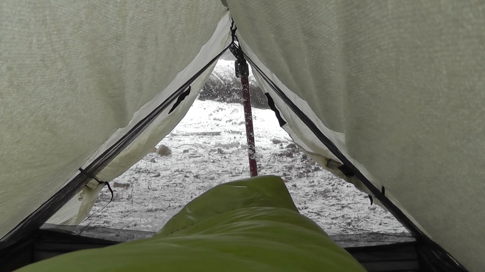
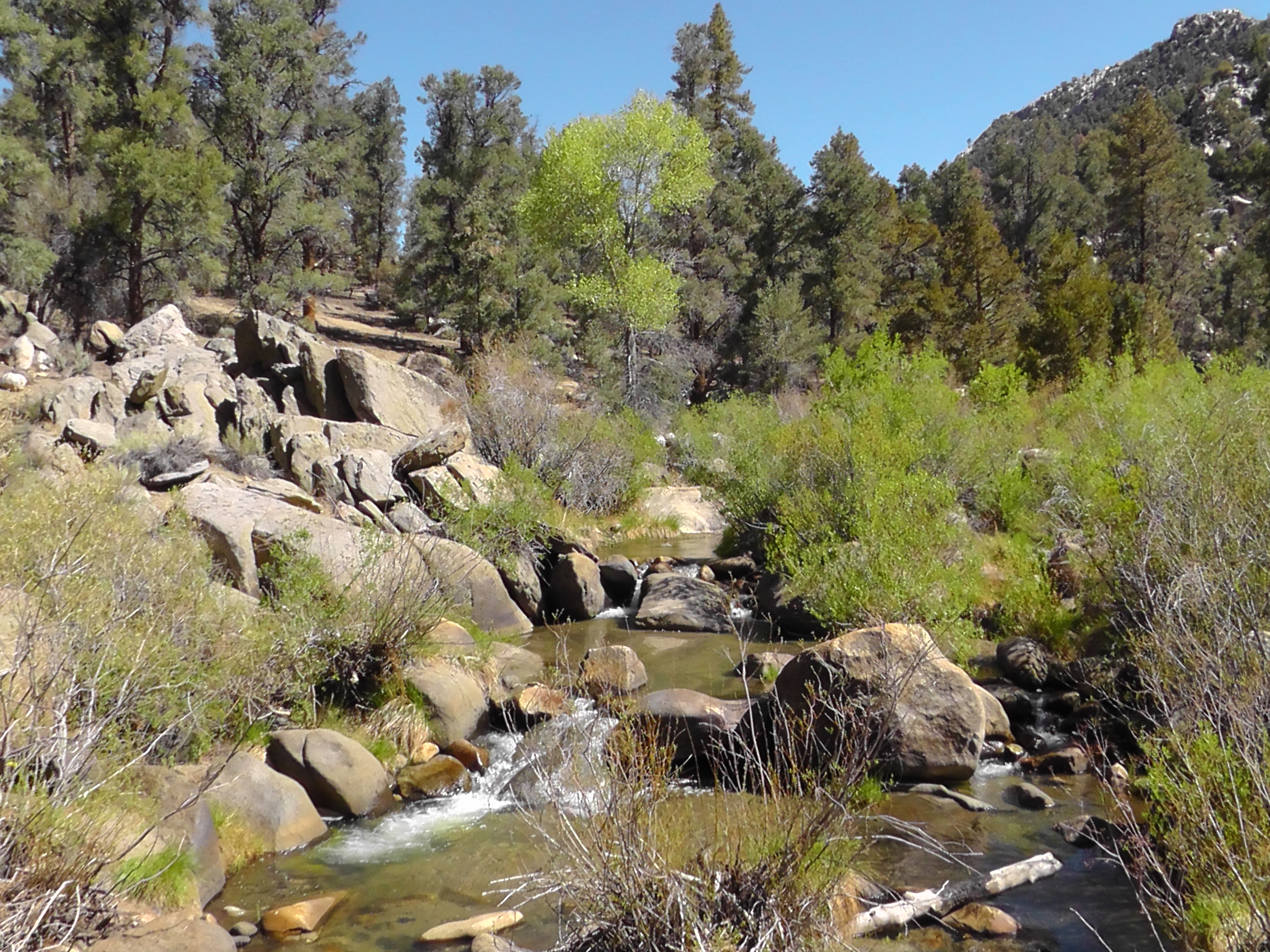
There are several steep climbs, but more threatening is the weather. Dark clouds dropping significant precipitation are all around me.  It lightly snows, but not much is sticking. I meet a southbound section hiker. He tells me that yesterday PCT thru-hikers were turning back at Forester Pass because of too much snow. Forester Pass is over 13,000 feet, the highest point on the entire trail. It is a steep and narrow chute. This is a serious problem. Based on my current schedule, I should be at Forester in 3 or 4 days, depending if I climb Whitney as a side trip. I am hoping that 3 to 4 days of melting might be enough to break it open. But there is little to no sun.

Whitney is at over 14,500 feet high. If snow is a problem at 13,000 feet, Whitney may be a no go at 14,500. I am okay with skipping Whitney. It is a side trip, not really part of the PCT and I can do it some other time. But Forester Pass I have to get through or I am sunk.

Cottonwood is a side trail to Lone Pine I may have to use as a bailout. I am not sure how many zeros it may take for Forester Pass to clear.

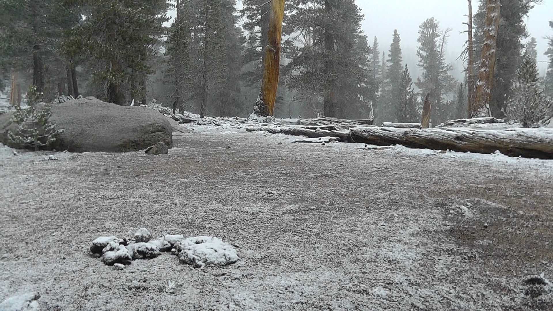
I make it the 23 miles. Other than the section hiker, I have not really seen anyone all day. I set up my camp and quickly make instant mashed potatoes. As I lay here in my Tarptent it is cold, snowing hard, and it is sticking.

Snow sticking
Snow sticking
Snow From My Tent
Snow From My Tent

Day 44 – Dark Side of the Moon

Mile 702 To 720

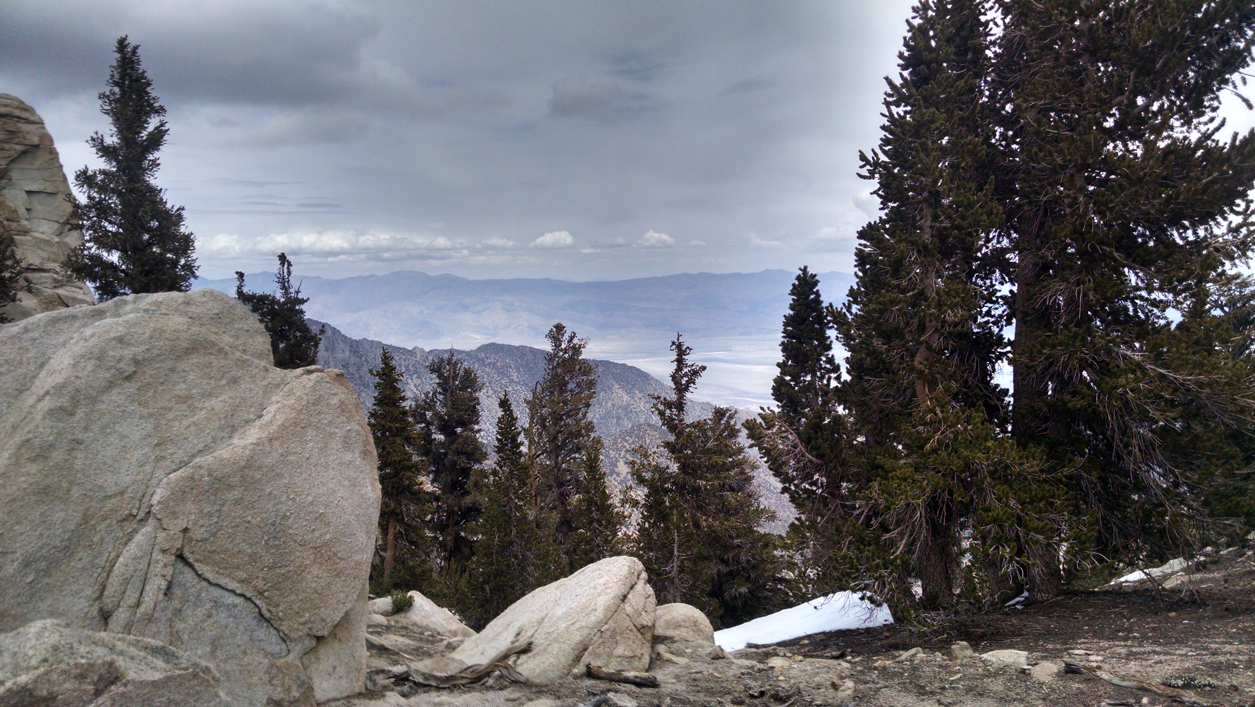
Sierra Water
Sierra Water

I wake to a wet tent and a damp sleeping bag, but the rain has stopped. I drag my gear up to the store’s covered deck, then find a tree to hang my tent and bag to dry. I make a significant contribution to the hiker box and I did not even open the other box of shoes and food Terri had sent (there was a slight mixup on which shoes I wanted). Because it was sent priority mail and I did not open it, it can be “bounced” to another address. I decide to just bounce it home.

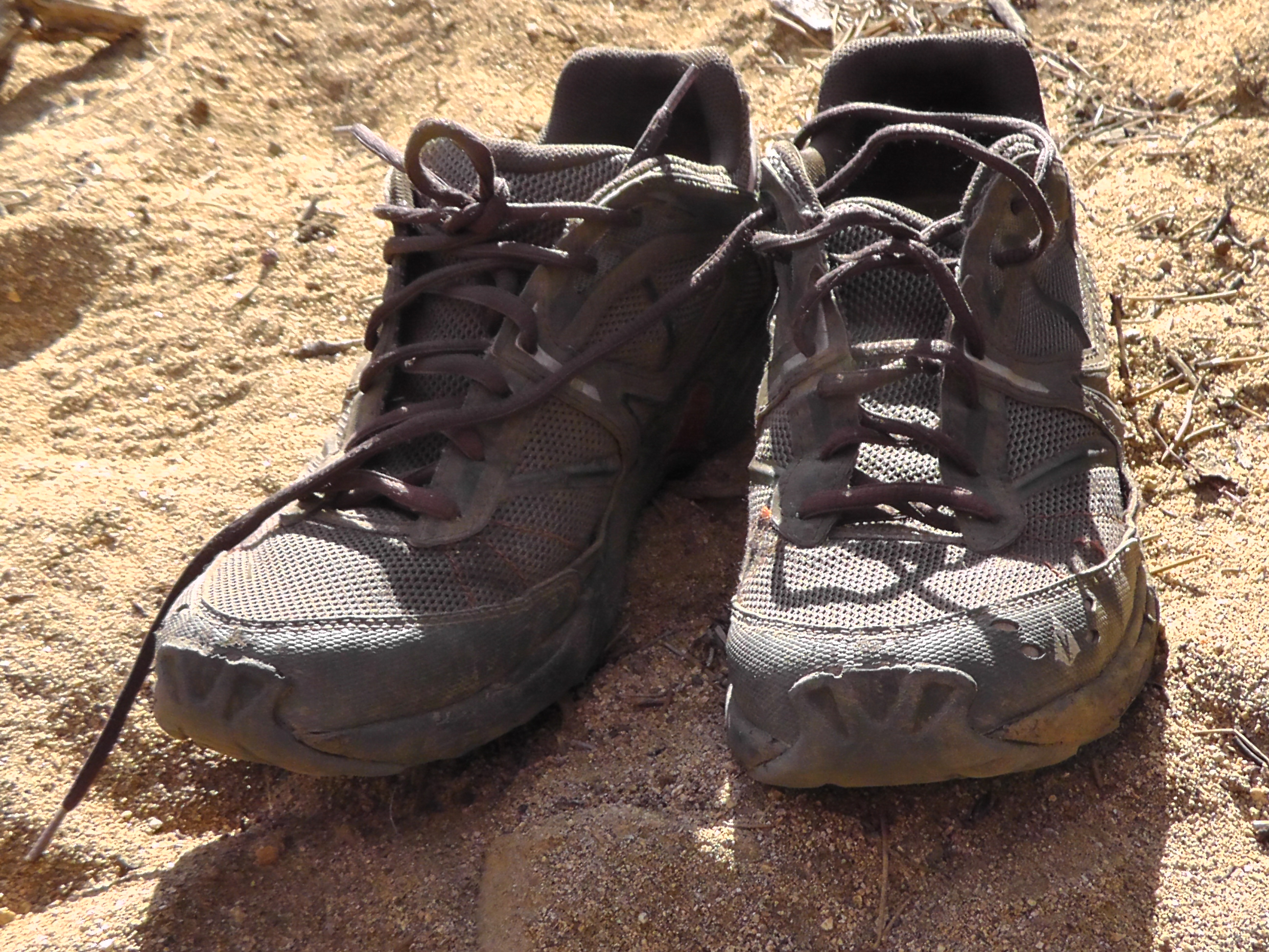
I say goodbye to my old shoes that carried me these 700 miles. They still have some tread so I toss them in the hiker box. The smell, however, makes me feel a little guilty.

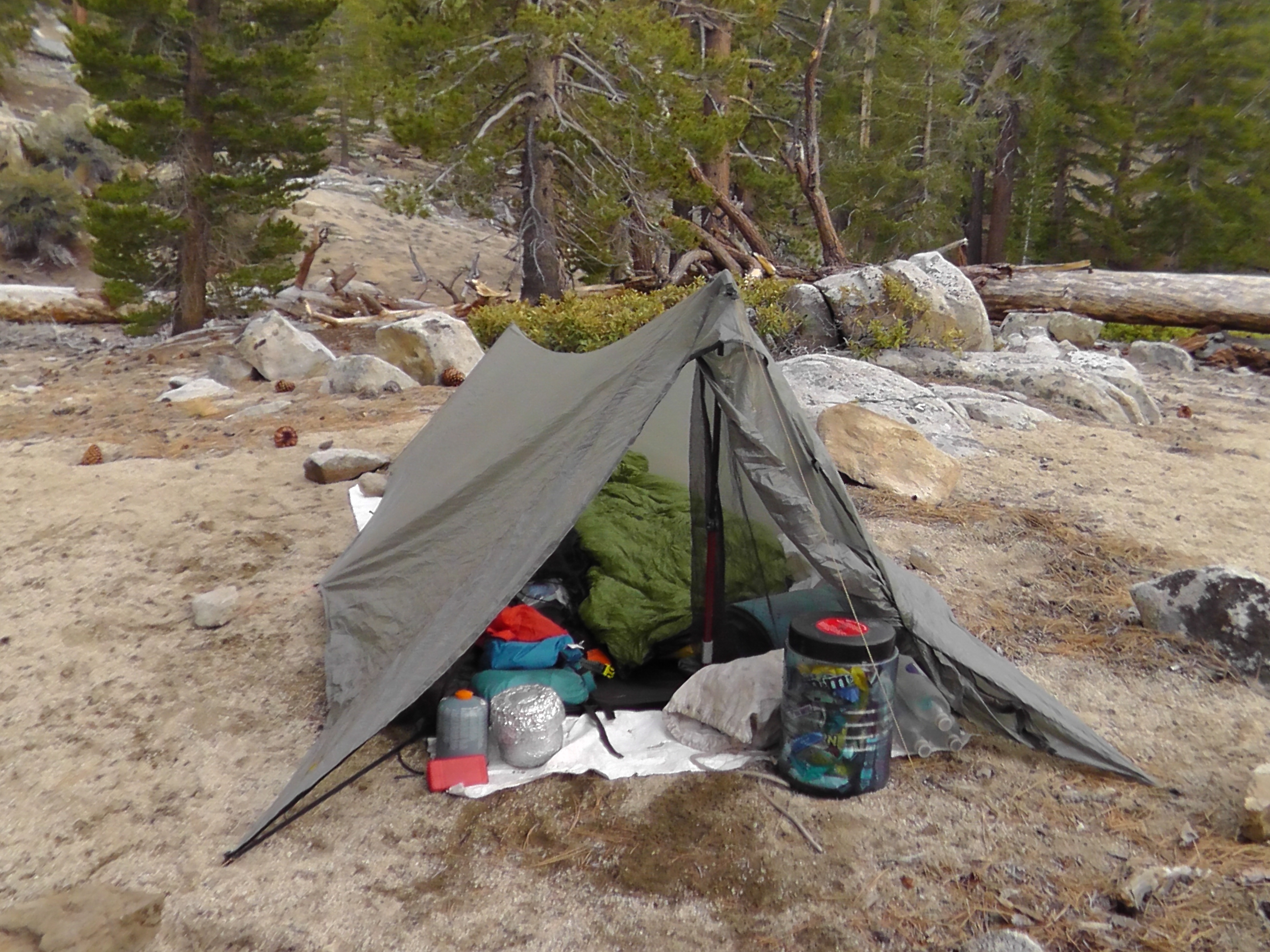
I get a lazy start on the trail, an embarrassing 8:00 am. I plan to do fewer miles because of the storm and don’t want to end up on a windy snow covered ridge. The climb is relatively easy, and the sense of finally being in the Sierra quite pleasant. There are even streams with significant water.

Storm Break
Storm Break

I am beginning to feel a bit like an astronaut circling the moon. The first part of the trip I was under the watch command of my sister, brother in-law and parents. Eventually I will be far enough north that my wife will take over. But right now, starting after Tehachapi and continuing through the Sierra, I am on the other side of the moon – in complete radio darkness. There is no cell service and no internet.  I tap out blog entries every night, but they go nowhere – well, even more so than usual.

I walk alone almost the entire day. There is really little sign of the storm. It is hard to image that a couple of days before people were turning back, unable to continue in the snow, rain and freezing wind. Eventually Klutz and Mountain Goat catch up to me. We seem to be between the bubbles. We camp near each other. Tomorrow we will push to even higher elevations. Perhaps the storm effect will be more clear over 10,000 feet.

Bear Canister Now Required

Day 43 – As I Layover

Zero Day – Kennedy Meadows

In William Faulkner’s book As I Lay Dying, an entire chapter consists of one sentence: “My mother is a fish.” I never understood the book, let alone that chapter, but it has me thinking. Every night I roll out my insulated pad and sleeping bag. I take off my shoes and socks, climb in bed to reflect on the day and peck out drivel on my droid. The senses that surround me are overwhelming. I decide to write my own book titled: As I Lay Lie-ing.  The first chapter will simply read: “My feet are dead fish.”

Kennedy Meadows General Store

I spend the morning sorting food and realizing I have way too much. My bear canister arrived stuffed with food. Terri, when sending my new shoes, filled every nook and cranny of that box with even more. The problem I have noticed is that my backpack does not have enough nooks and crannies to match. Instead of buying burgers and pancakes like most, I am trying to eat at much of my food as I can. The locals here are not helping. They are having a happy hour and bring out tons of snacks: veggies, chips, cheese, crackers, artichoke dip and sliced meats. After snacks they offer up a full burrito bar with slow cooked beef, beans, cheese, salsa, guacamole and sour cream. Its a crazy amount, all free and they keep telling the hikers to have more. They did tell us we were lucky to be early in the season. When the herd arrives, it will be hotdogs and chili.

While not eating I am trying to figure out the Sierras. The forecast we are hearing is storm today and tonight, but clearing out sometime in the morning. It is good that we may not be walking in snow, but we will likely be walking on it. Postholing is what you do when your feet break through the crust layer and penetrate deep into the snow. Since we are wearing trail runners and not boots, it will likely be a very cold and miserable walk. I am taking 6 to 7 days of food. If the weather cooperates that will be enough to get to Independence, with a side trip up Mt Whitney.

It is very strange, but no other thru-hikers have arrived at Kennedy Meadows. There are lots of folks we know not very far behind us. They must have hunkered down during the storm and stayed put today.

Goodbye Old Friends
Goodbye Old Friends
Setup before the storm


Day 42 – Last of the Desert

Mile 681 to 702

700 Mile Marker
700 Mile Marker

I wake later than usual. The other Ricks seem in no hurry. I have a nice breakfast of granola, another smashed Little Debbie and coffee. I pay my respects to the pit toilet and saddle up. Just as I do, it begins to snow. Not a snow that sticks and builds, but a cold blowing flurry that melts on contact. I climb up and over a pass towards Kennedy Meadows. It snows for about two hours. I much prefer it to rain and it is quite beautiful. The rest of the day is a battle to maintain the right temperature. In clouds and wind, I stop and put on my jacket. The clouds blow past, I overheat, stop and take off the jacket. Wait, cloud blows over, now put on gloves. No, sun back, take off gloves, open jacket. It is a game I play for the entire day, only there seems to be no winning.

Break in Weather
Break in Weather

The dreaded 700 miles of desert now ending seems to have gotten a bad rap. Sure there are parts with flat sand walks through cactus and creosote bushes. There are also some brutal climbs up treeless and waterless mountains. But most had spectacular vistas. And many were mountain oases with trees, such as Mt Laguna, Idyllwild, San Jacinto, Big Bear and even parts of Tehachapi.

I am now approaching Kennedy Meadows, gateway to the Sierras, the land of snow and water. Unfortunately, both are falling from the sky right now. Tomorrow is predicted to be worse.

At the General Store I wait forever for the staff to retrieve my bear canister and other packages. They are understaffed and certainly no competition for Wrightwood in terms of service to hikers. But frankly, I am in no hurry and my phone and external battery are on the charger. There is no cell service and no internet. It seems so isolated.

I plan to zero tomorrow, hoping to miss the worst of the weather. I quickly pitch my tent before the rain. I thought I could do laundry here, but they only have a clothesline to dry which makes laundry in the rain pointless. Trying to keep clothes dry is more important than trying to stop the smell. Other hikers tried to push on, but were turned back by too much snow. From here the trail quickly climbs over 10,000 feet, not a great place to be in a snow storm.

I sleep reasonably well through the cycles of light rain and snow. Tomorrow is a zero to rest, resupply and figure out how to make it through the snowy and getting snowier Sierras.

Approaching Kennedy Meadows
Not a problem with storms coming.


Day 41- Periodic Table Water

Mile 654 to 681

Late last night I begin to see hiker headlamps. Not again. I thought we pushed past their reach. Then I realize the night hikers are moving where there is a 1,000 foot drop. These phantom headlamps are gracefully defying physics, moving high above the canyon. My stunned facial expression must have resembled Buckwheat from the Little Rascals. Slowly my brain began to recalibrate my reality. Those were not night hikers, but car headlights way off on Highway 178. My brain had forgotten how to process car speed and assumed people moving that fast had to be close, even if there was no ground to support them. My parents are already convinced I am losing it, and this is not helping my side of the argument.

Joshua Tree Spring
Joshua Tree Spring

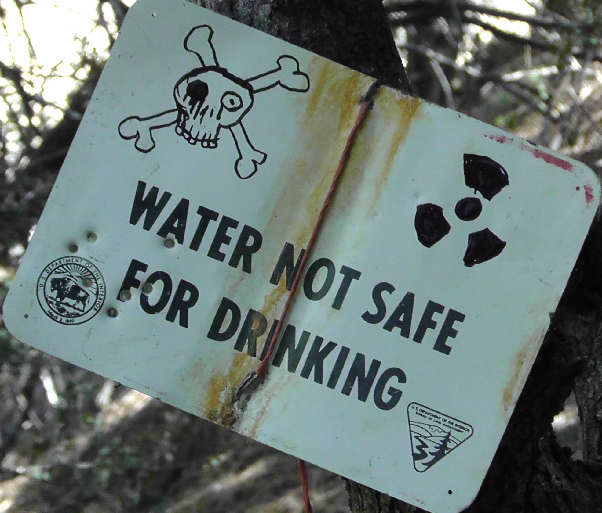
I get an early start, heading to water in about 10 miles at Joshua Tree Spring. According to the water report it is flowing well.  Also according to the water report, it contains unhealthy levels of Uranium. The report goes on to offer words of encouragement. It turns out this is the only spring formally tested, so it is likely not significantly worse than the others we have been drinking from. Furthermore, the unsafe levels are only a concern when consumed over a lifetime. Given I am drinking uranium I am not sure how long my lifetime will be. On the bright side, the spring should be easy to find, as I suspect the nearby bushes to be glowing.

I drink it anyway
I drink it anyway

I hear a weather report from a hiker that storms are coming, which means we may get backed up at Kennedy Meadows. It is getting cold and the wind is crazy on the ridge. I push on further than normal and am rewarded with lower elevation, warmer weather, a spring and a campsite with a picnic table and pit toilet. Two other thru-hikers join me, both named Rick. We are three Ricks camping together, never forgetting each others names.

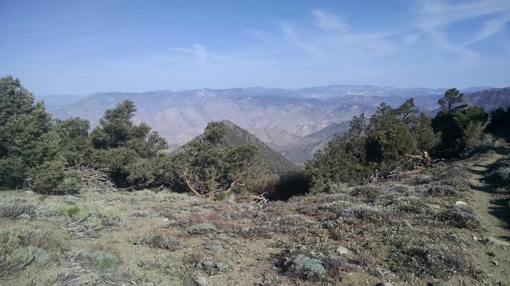
Typical View
Typical View

Day 40 – Cache and Carry

Mile 631 to 654

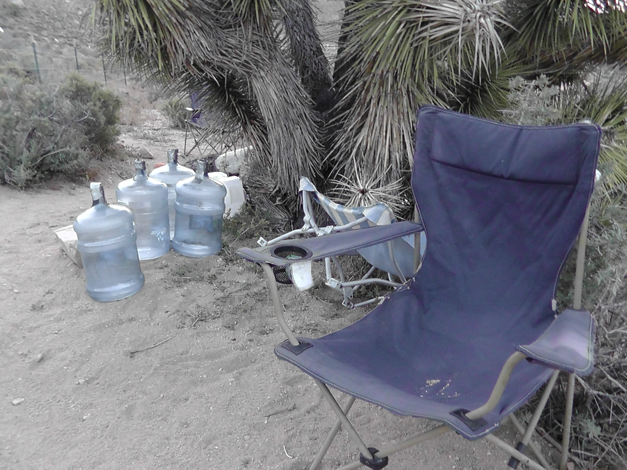
Water Cache
Water Cache

At 11:30 last night a centipede of headlamps winds its way down the trail and into our camp. It looks like commuter traffic returning from a hard days work. On the trail, for those eight night hikers, that’s exactly what it is. The headlamps are now all pointed at the depleted cache. What little there was got rationed between the hikers that were here. The water report warned not to count on it, and it was right. The headlamps disperse to various random locations, drop on the ground and eventual go out.

It raises an interesting ethical dilemma. Given that a cache is always limited, how much do you take? Is taking the first liter different than taking the last? Why? Anything you take is depriving those behind you. Is a water cache a socialistic system, to those according to need?  The ones with the greatest need are most likely the ones who didn’t carry as much as they should. There are hundreds more coming that will similarly claim to need it.

I was once told that before winter you should put away your hummingbird feeder because it encourages them not to migrate and they become totally dependent. If you insist on keeping it, you have a responsibility to never stop or they might die. Land managers face a similar challenge with water caches. A cache not constantly maintained is more dangerous than no cache at all.

Walker Pass
Walker Pass

I wake surrounded by various colored night hiker sleeping bags – a blue one over there, a red one by that bush, some green ones by the trail. I sneak away before 6:00 am and begin a steep climb. It’s 20 miles to water. Yesterday the trail was sand that killed my feet. Today the trail is packed and smooth. The weather is cool and I crank out the miles.

At Walker Pass campground I hike to the spring and filter water. On the way back I meet trail angels setting out magic: donuts, peanut butter, bread, bananas, and avocados. I enjoy it all, but especially the donuts. Rather than wait for the night hikers to wake us at 11:30 again, four of us hump it up a steep climb and camp on a windy ridge.


Typical View
Typical View


Day 39 – Bar None

Mile 609 To 631

Burned Trees
Burned Trees

I again wake to awesome stars, then panic and touch my bag. It is damp, but nothing of biblical proportions. In fact, I am pretty sure I hear Noah putting away his tools. Today lack of water is the problem. The water report says the Kelso Road cache is no longer maintained and neither is the one at Robin Pass. We resign ourselves to the miserable side trip to Willow Springs at 11 miles.

The hike begins in burned out trees. There are so many trees blown down that it feels like the Pacific Crest Obstacle Course – over some, around others, and even under a few. This section clearly needs maintenance, but nothing bars our progress.

We meet a couple of southbound section hikers. They are worth their weight in gold because they have current information about where we are headed. They tell us they walked by two water caches, but could not remember exactly where. They must be Kelso and Robin.

PCT Log / Journal
PCT Log / Journal

When we arrive at Kelso there is a small cache. About a half dozen partially used 2.5 gallon jugs are spewed about. There is one unopened which Smiley, who we just met, took to his beast of a pack and brought back empty. I don’t even have enough storage capacity for 2.5 gallons. “I get thirsty,” he says. We top off our liter bottles and move on.

Since the southbound hikers were right about Kelso, we decide to skip Willow Spring and hike on through. We drop below the tree line and it really feels like a dry barren desert. We are lucky it is not nearly as hot as it could be.

There are towers in the distance. I turn on my cell phone and am surprised to see 4 bars.  I quickly try to call my wife Terri and the bars suddenly go away, as if to say “Who us? Oh no, we were just stretching.” What is the point of those bars? If they were power bars or ice cream bars I could eat them, but these are totally useless. Three bars walk into a cell phone. The cell phone asks “Are you staying long?” “Only until Rick tries to make a call.” Ugh!

When I get to Robin Pass the water cache is almost completely gone. There are empties everywhere with one 5 gallon jug about 1/3 filled. I top off a few liter bottles, but cannot take what I want. There are five hikers I am traveling with coming behind me, and they need water too. This will have to last us for tonight’s dinner, tomorrow’s breakfast and the next 20 miles. The southbound hikers told us only of two caches, and we have now seen them both.

As I am lying here writing this a beautiful bobcat comes out from a bush and enters my cowboy camp. He freezes two feet from my two feet. We stare at each other. He seems puzzled by my presence, but not afraid. We have a moment. He moves towards Rum Monkey’s cowboy camp. Rum Monkey is not noticing, so I wave my arms. Nothing. I make pointy ears with my hands. Nothing. I snap my fingers and point at the cat. Nothing. I whistle softly and Rum Monkey lifts up his head and looks at me. The Bobcat bolts, never to be seen by Rum Monkey.

View
View

Day 38 – Water World

Mile 588 To 609

Drying "Yard Sale"
Drying “Yard Sale”

I awake to a clear sky filled with awesome stars, which belie what has really gone on in the night. A flood of dew so torrential that it would convince Noah to start working on his ark, has drenched everything I own: my sleeping bag, tarp, clothes, electronics, food bag. Did I mention everything? If I wait for the sun to dry it I will miss walking in the cool morning, which is the reason to rise so early. After coffee, a smashed Little Debbie cinnamon roll and granola with powdered milk, I pack up everything soaking wet. At some point today I will have a break and a “yard sale” where I will spread it all out to dry.

Robin Spring
Robin Spring

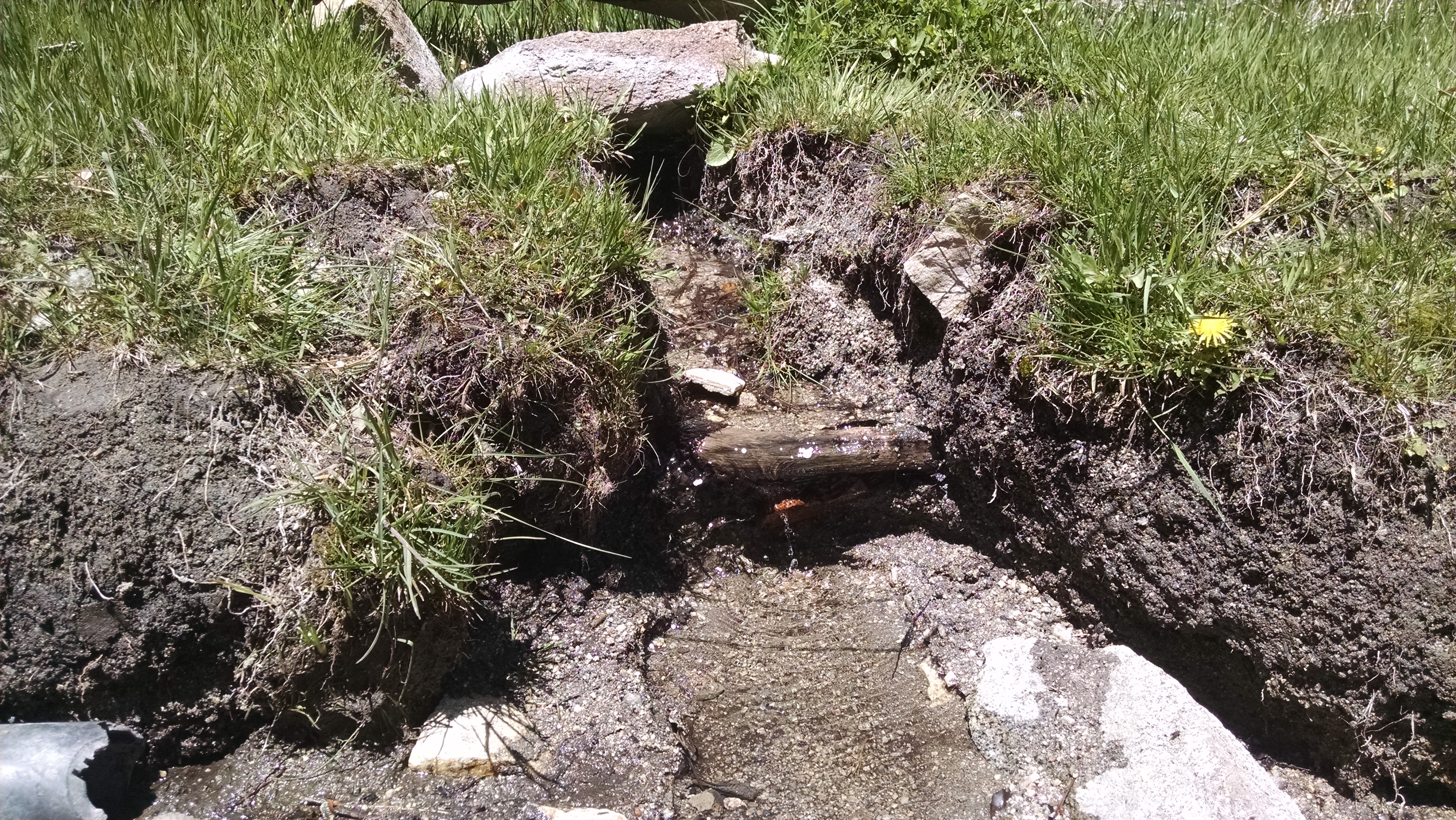
For four miles we march through the burn area. We even start seeing our old friend the poodle dog bush, who seems to love it after a good fire. We break back into trees which are green and scenic, but even more important, cool and shady. When we reach Robin Spring it is a most pathetic trickle. I have to break open my pack and get out a small pot to catch the water and pour it in the filter bag. There are cow pies everywhere. Yum. We do not take too much, because there is another water source in 7 miles.

The water at Landers Campground is the best we have seen. It is crystal clear and has excellent flow. We decide to camp here. Our next stretch is a water challenge. On the PCT the next water is 43 miles away. We could load up here then cover the ground in two days, with one dry camp. About 11 miles in there is an alternative trail, which adds a mile, but more important, a lot of elevation loss and regain. I prefer the first option, but Todd is pushing the second. He drinks more water than I do, so I think we will be doing that one.

500 Mile Marker
600 Mile Marker

Day 37 – Transit

Mile 566 to 588

Looking Back at Tehachapi

I called Kern Transit last night to find out the bus schedule back to the trail for this morning. I was told the trail is not a scheduled stop, but if I ask the driver he will. I was also told the bus picks up by Kmart at 4:20am, 6:08am, 8:58am, and 9:28am. I preferred the 6:08, but that might mean missing breakfast. I asked the women in the hotel lobby what time I can get breakfast. The hot food will not be out until 7:00, but they start setting up the other food at 4:30am. Perfect. Food at 5:00, bus to trail at 6:08.

I wake to discover I have kicked a pillow off the bed, knocking the cell phone charger cable out of the wall. The phone I thought was fully charging overnight is now at about 30%. ARG! Good grief, what a blockhead! I proceed to the breakfast area where the only thing out is coffee. I drink a cup as I watch a man start to setup. He brings out a bowl of fruit. I take a banana and eat it. He brings out a tray of pastries. I grab and eat a bear claw. He brings out microwavable egg like McMuffins. I zap one and eat it. He brings out milk. I make cereal. Frankly, if he opened a can of Friskies for his cat I would eat it, the Friskies I mean.

We hike to the bus stop where a woman is waiting. She is expecting a bus, but not a bearded man with sticks and a pack, so she jumps out of her skin. She is waiting for the bus to Lancaster. When we mention we are going to the trail, she says we want the same bus. As I look at the schedule at the stop I realize the woman at Kern Transit read me the weekday schedule, not the weekend schedule. It is Saturday and there is not going to be a 6:08am bus, or even an 8:58am bus. The next Saturday bus is 9:25am, a full three and a half hours from now. When I ask the woman what time she thinks the Lancaster bus is coming she says, “Oh I can never figure out that schedule. I just come sit and wait.” When I point out it will be three and a half hours, she just sighs, as if she is waiting for Godot. There is no “I guess I will go get coffee,” no “I can go home and come back in three hours,” no anger or frustration. Just a resigned sigh and a smile.

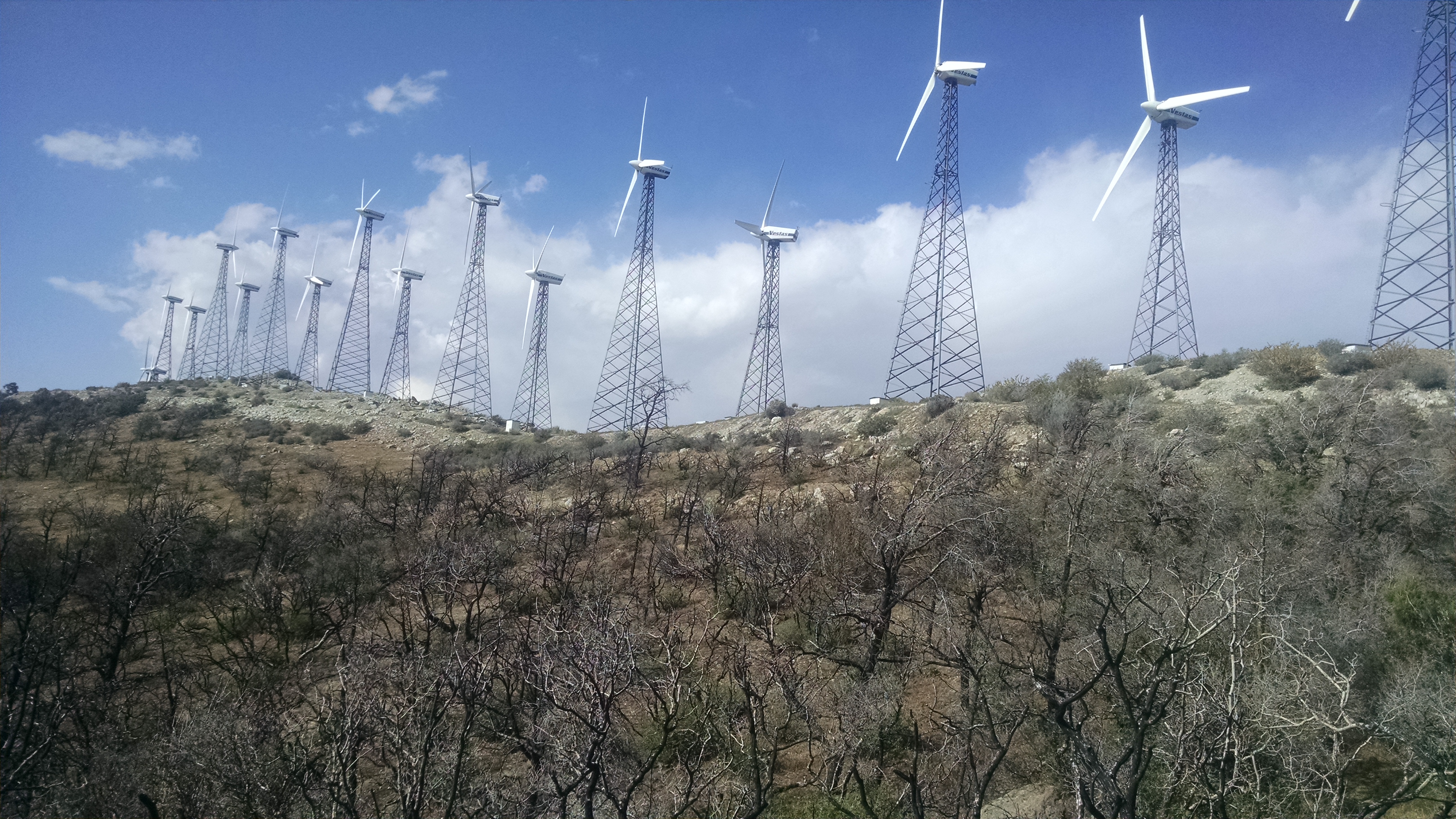
Todd and I head to the main road to hitch. Traffic at 6:00am on a Saturday is pretty light. Not a single car is heading our direction. For kicks I hold up my “To Trail” sign to cars heading in the opposite direction. A pickup truck whips a u-ie and the driver says hop in. A business manager from a turbine maintenance company just dropped his kid at practice and was heading to get coffee. He decides coffee can wait and rescues us instead. I know I should not continue to be amazed at such kindness from strangers, but I am.

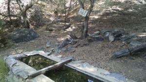
Buggy Water Trough
Buggy Water Trough

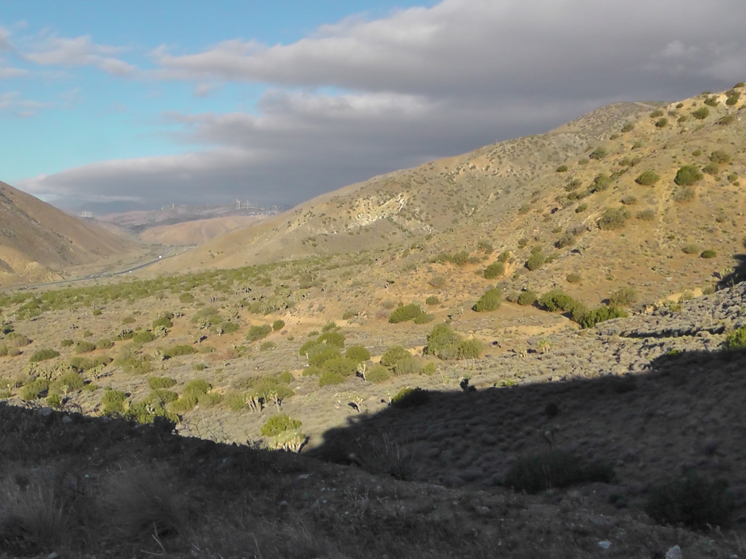
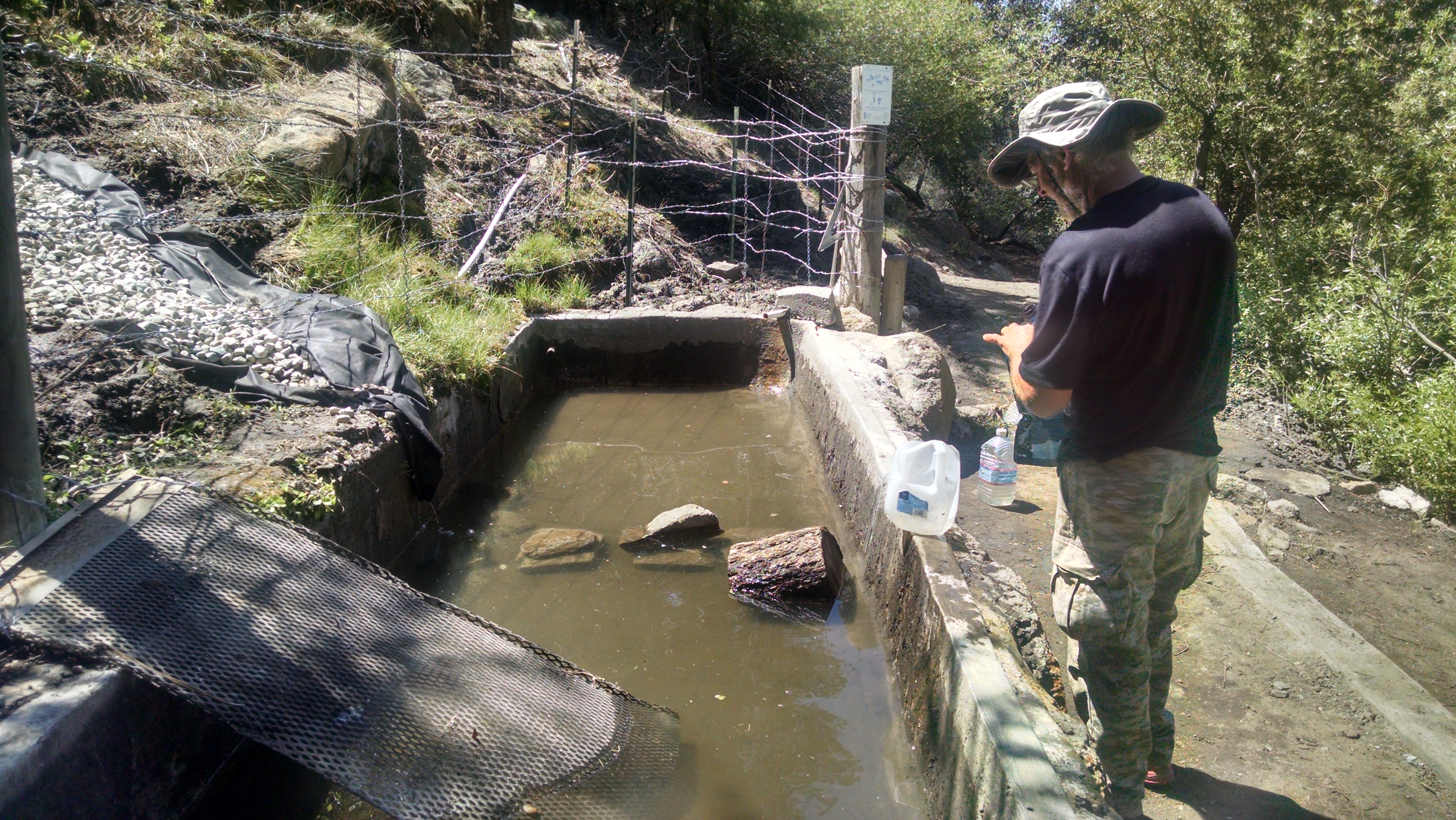
The hike from the highway is steep, but we are blessed with freezing cold winds which frankly make it pleasant. The descent on the other side turns to rocky rutted fire roads through more wind farms. It is getting hotter and not nearly as nice. Our first and only water for the day is 17 miles in. It is a buggy concrete trough, from which we filter and drink. We take about 4 liters. Our next water will not be for another 18 miles which we will not reach until tomorrow.

We enter an ugly burn area. We hope to get through, but end up camping on a exposed ridge. The wind on the ground is not too bad, but the turbines above are spinning like crazy all night.

Wind and Burn Area
Wind and Burn Area
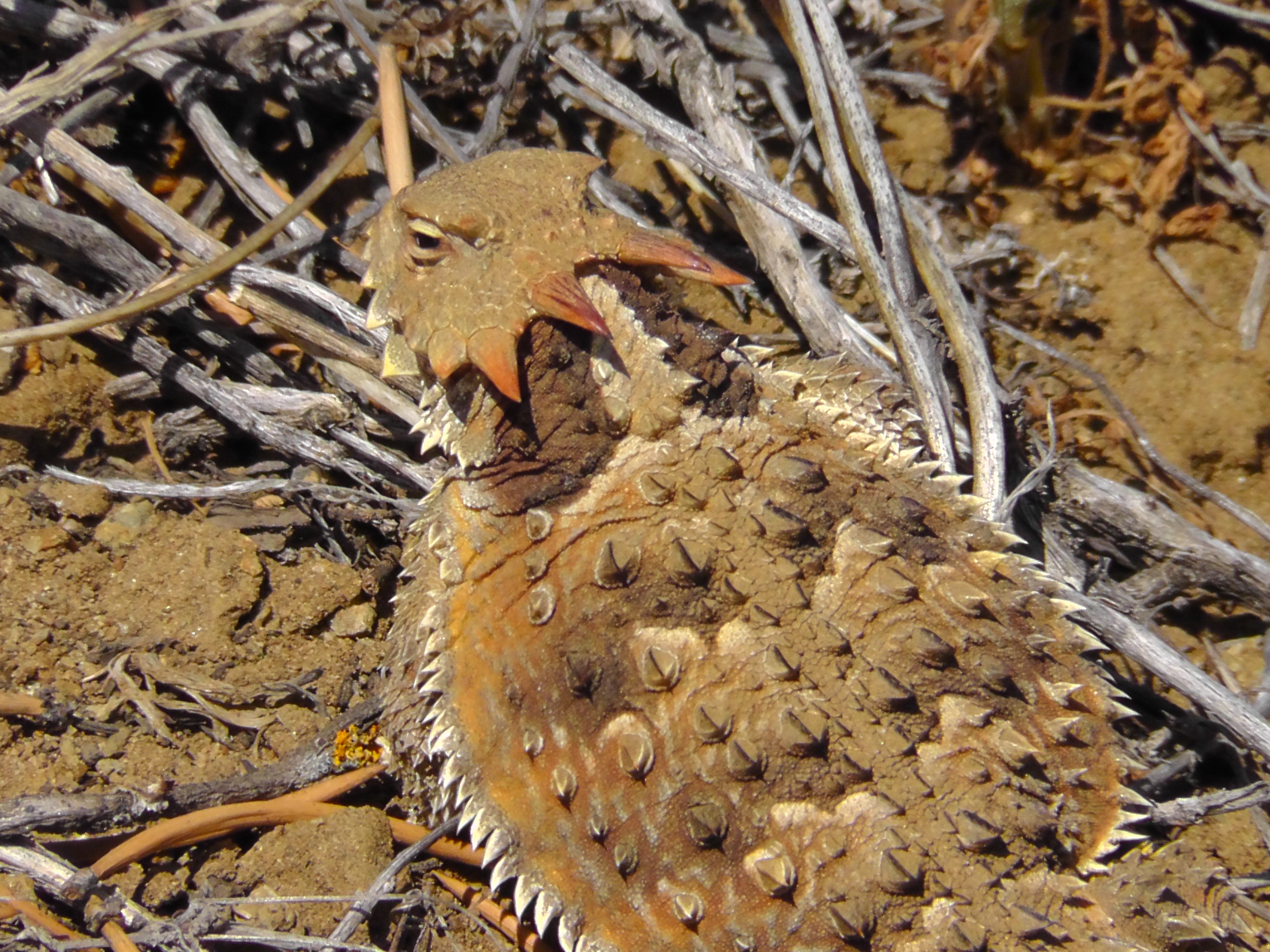
Horned Lizard
Horned Lizard