Category Archives: Uncategorized

Day 36 – Blogging

Zero

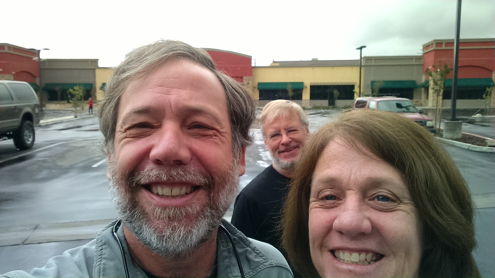
Rick, Susan and Todd

Even in a hotel I wake with the sun, ready to get a jump on the 6:00 am to 9:00 am breakfast buffet. It is nothing spectacular, but plenty of coffee and calories and I indulge in both. Susan helps with last minute transportation, including a trip back in time to a Kmart, where I replace my fraying camera “fanny pack”, a term which continues to keep the British in stitches. Susan takes some pictures, offers hugs goodbye, then heads home to be there in time for Frank Kellogg’s memorial service.

Since I have some down time, I decide to describe the process of blogging from the trail with my Droid Max smart phone and a WordPress application. The application uses a built in tiny software keyboard. Let me set the stage.

After setting up my cowboy camp (I have only used a tent 3 times on this trip) and finishing my meal and assigned chores, I pull out my Droid. I hop in my sleeping bag and prop my head up on my backpack and anything else I can find. If I lean to the side even slightly, the application switches from portrait to landscape, even though I am clearly wanting portrait. As the sun sets it gets cold fast and I wonder why I did not purchase the gloves that work with a touch screen. My warm gloved left hand holds the phone. My freezing right hand stabs the screen in traditional Columbus style typing: seek, find, and land.

The screen is very well lit. So much so that it attracts every nat, mosquito and moth within miles. The hummingbird moths are particularly startling and entertaining. Rest assured by the time the entry is drafted, more insect eyes have seen it than human eyes ever will. They also create a lot more buzz.

The Google keyboard was clearly modeled after a puppy. It is highly excitable and eager to please. If I type the letter H, it randomly suggests words that start with H. Hog? Happy? It even suggests H? as if to take credit for what I have already done. If I add the second letter, like HI it might jump in with Hike? His? Or Hiccup?

If I spell a word incorrectly, it says something that seems to mean: accidentally select this and I will permanently add this misspelled word to the dictionary. “But it is wrong,” I yell at the keyboard! “But since you have added it to the dictionary, now it will be right,” counters the keyboard. “Don’t you want it to be right master?”  “Yes, but this isn’t,” I yell at the keyboard. “Keyboard can tell master is unhappy. Keyboard feels shamed and will now go into a system folder and chew up random files.”

Now if Google keyboard had been modeled after a cat, as I type it would simply turn away, mumble that no one cares what I write, and proceed to lick itself.

Because my spelling is so atrocious, Google keyboard really struggles. Sometimes it starts guessing strings of words, because clearly what I am typing can’t possibly be a single word. For my first attempt at Tehachapi, Google suggests “teach a pie”, which I struggle to imagine making sense in any context. You can see how quickly we frustrate each other. There are even times we exchange words we later regret. At least I do. If, when reading an entry, you think there really is a better way of saying this, I probably think so too, but lost that battle with the keyboard.

Entries are stored locally, and can only be uploaded when I have data service. In the southern section this has been surprisingly common, but the next sections are much more isolated. It is likely there will be long stretches without updates. You should still be able to track my location and physical progress, but you may have to wait to see blog updates. Just rest assured, I am still out there under the stars, pecking out drivel with my frozen finger.

Tomorrow we will enjoy the end of the rain and snow, and begin to walk again.
Day 35 – Tehachapi

Mile 562 to 566 (Nero)

Somewhere inbetween
Somewhere inbetween

We wake to the continuous howling wind and realize yet again why these monstrous turbines were placed on this particular pass. No bother. Today we are heading just 4 miles downhill to highway 58, where we hope to find sister Susan and her Camry coach waiting to whisk us to town. When we arrive her car is there, but she has wandered up the wrong trail hoping to meet us. If not blocked by an aggressive cow, who knows where she would be.

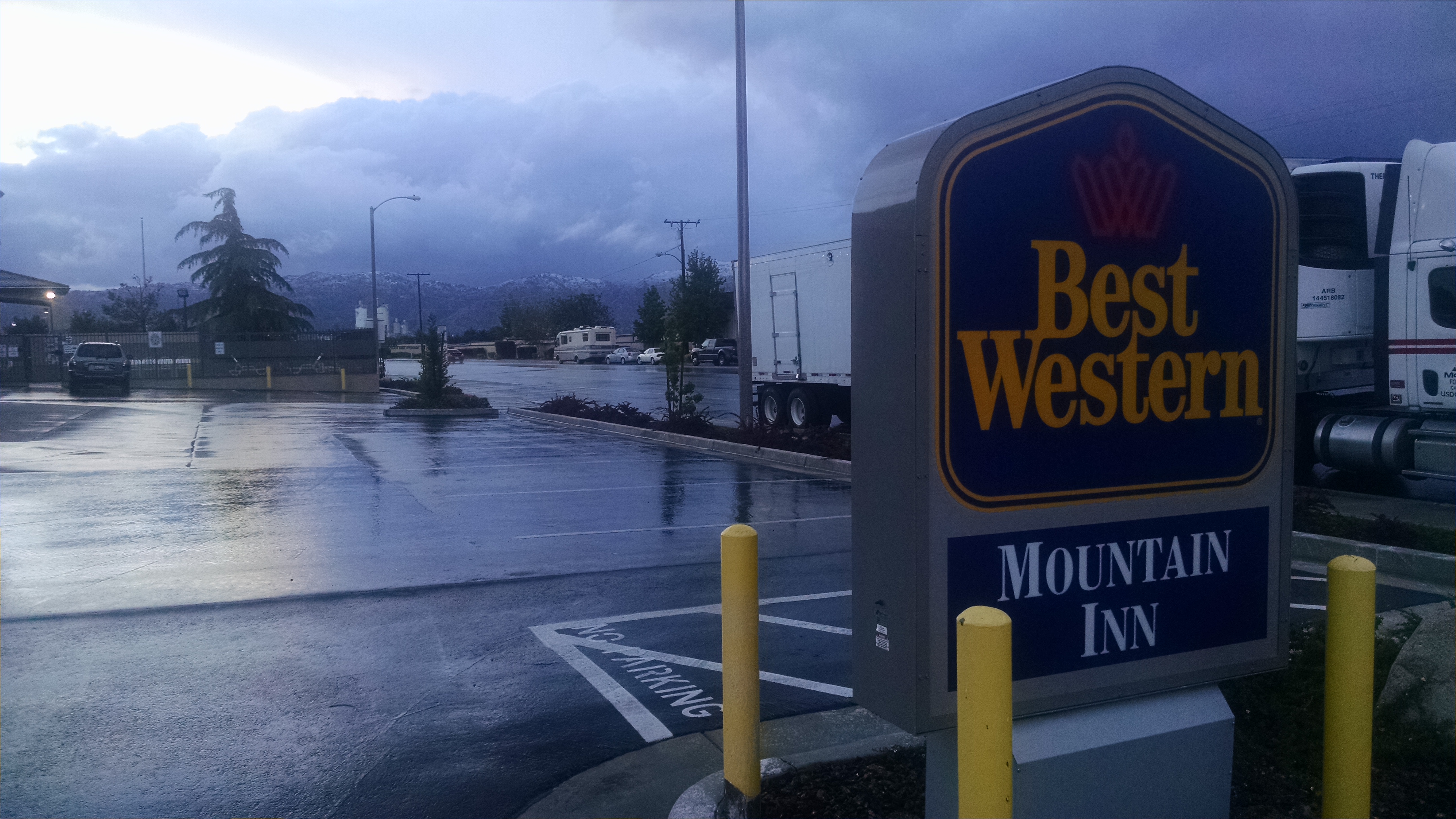
We pick up Whiskers, another thru-hiker, and make our way to town. It is predicted to rain today and tomorrow, so our zero day tomorrow is well timed. We have breakfast at a cafe, pick up Todd’s resupply package at the post office and check into the Best Western. Shopping at the grocery store is like a thru-hiker reunion. Everyone is there scrounging for Snickers bars and other supplies for the 7 or so days it will take to get to Kennedy Meadows.

As the temperature drops, the rain turns to hail and snow in the hills around us. We are very glad not to be out there in it. We watch local news hoping to find weather information, only to realize how little we have missed the negative drivel known as the evening news. We turn to an air disaster movie marathon and fall asleep.

Hotel in Storm
Hotel in Storm

Day 34 – Wind Farm

Mile 541 to 562

Barren
Barren

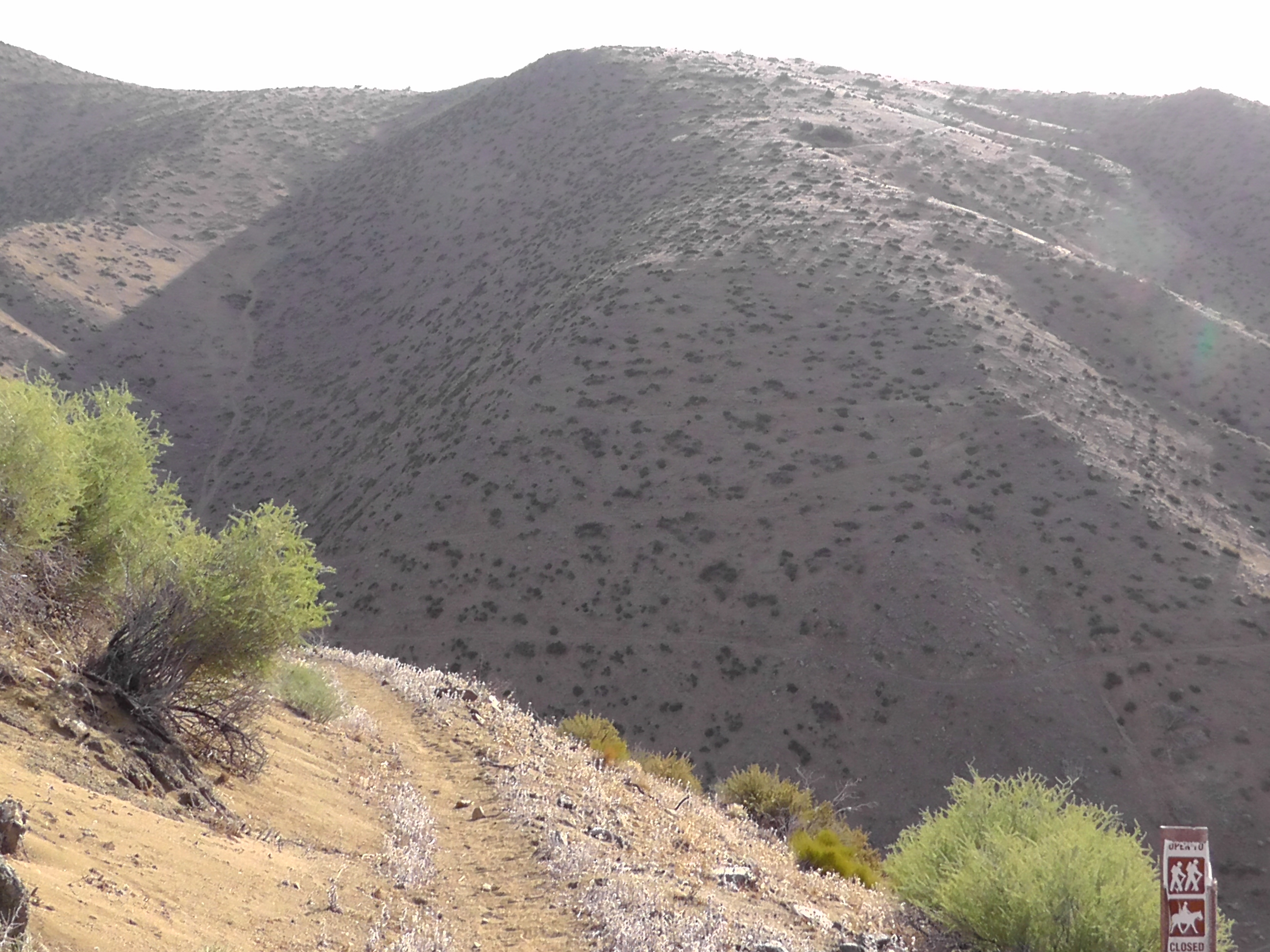
I wake before the sun, but seem to be slow getting around. The wind is blowing everything every which way, and I have to filter water. The stream trickle is so small I have to scoop it with my coffee mug and pour it into the filter bag. I filter and carry 4 liters, enough for today and tomorrow morning if necessary. The first major climb is treeless and barren. Part way up nature makes a surprise but serious call, and I have to scramble off trail in search of a location to answer. I fall behind the group and spend the rest of the morning catching up.

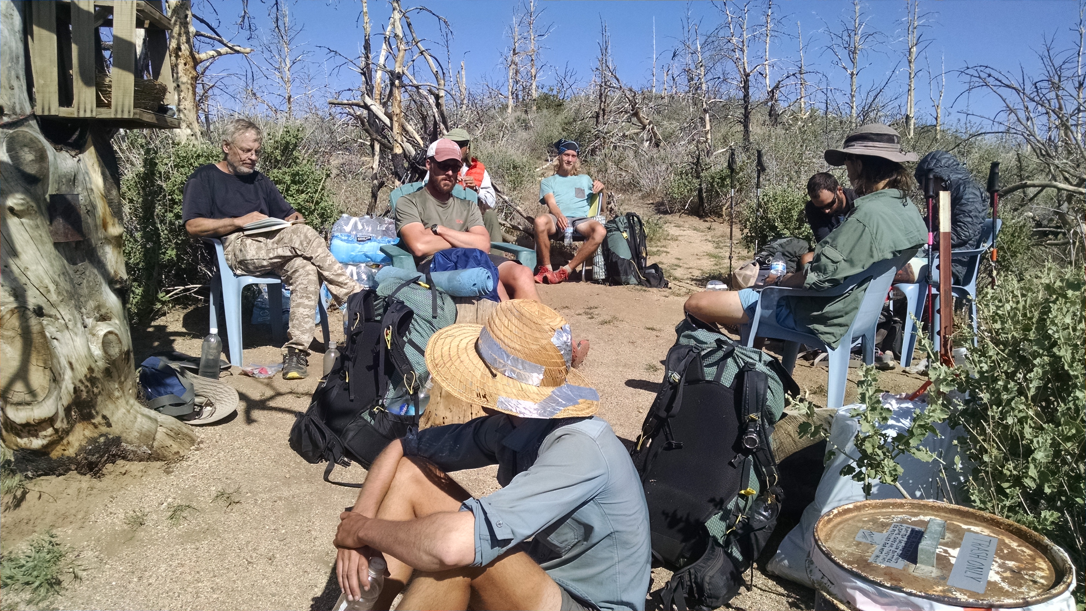
At the top of the 7 mile climb I find the group in chairs at a water cache. I could have gotten away with carrying about a liter instead of four. Ugh.

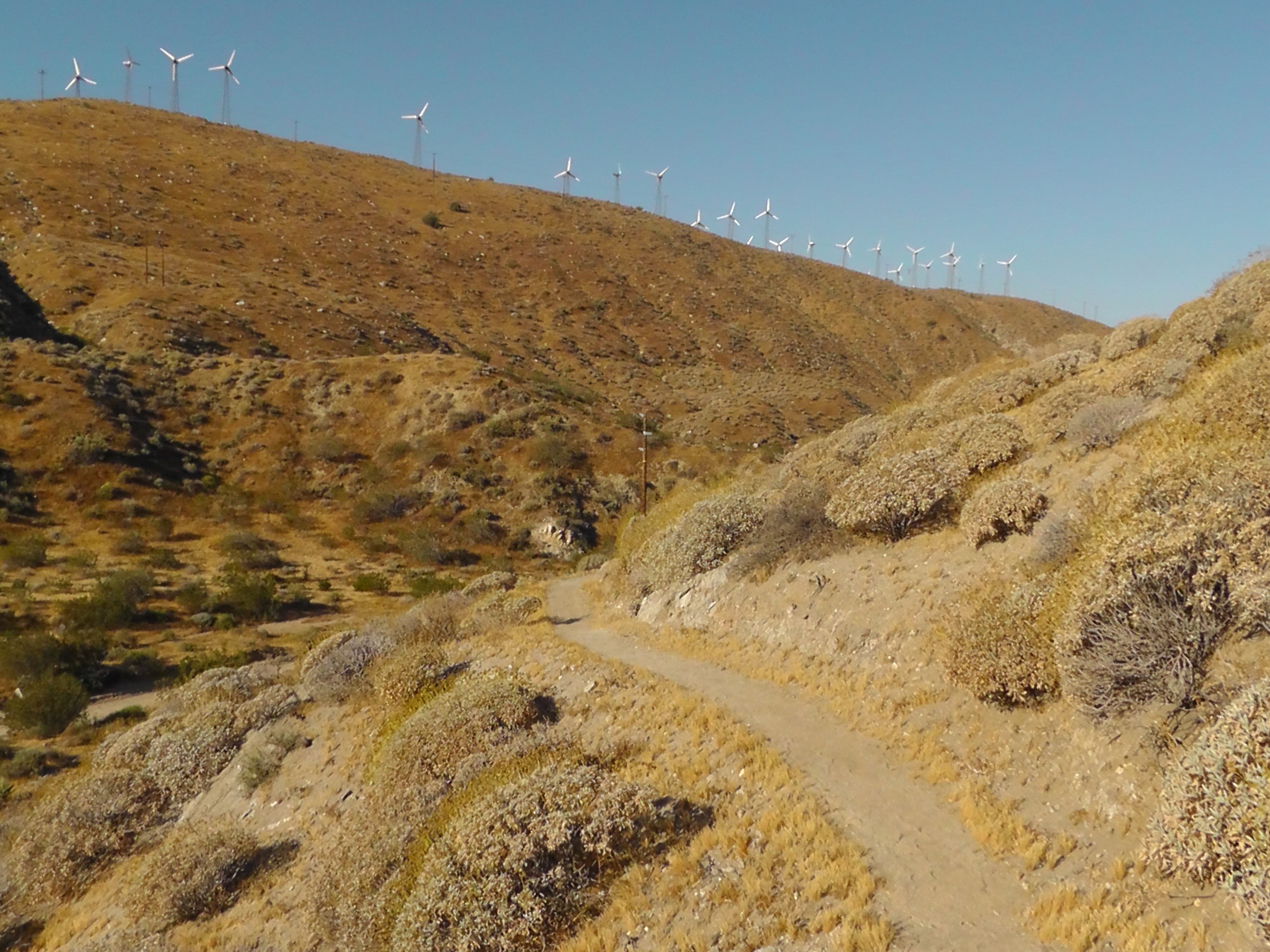
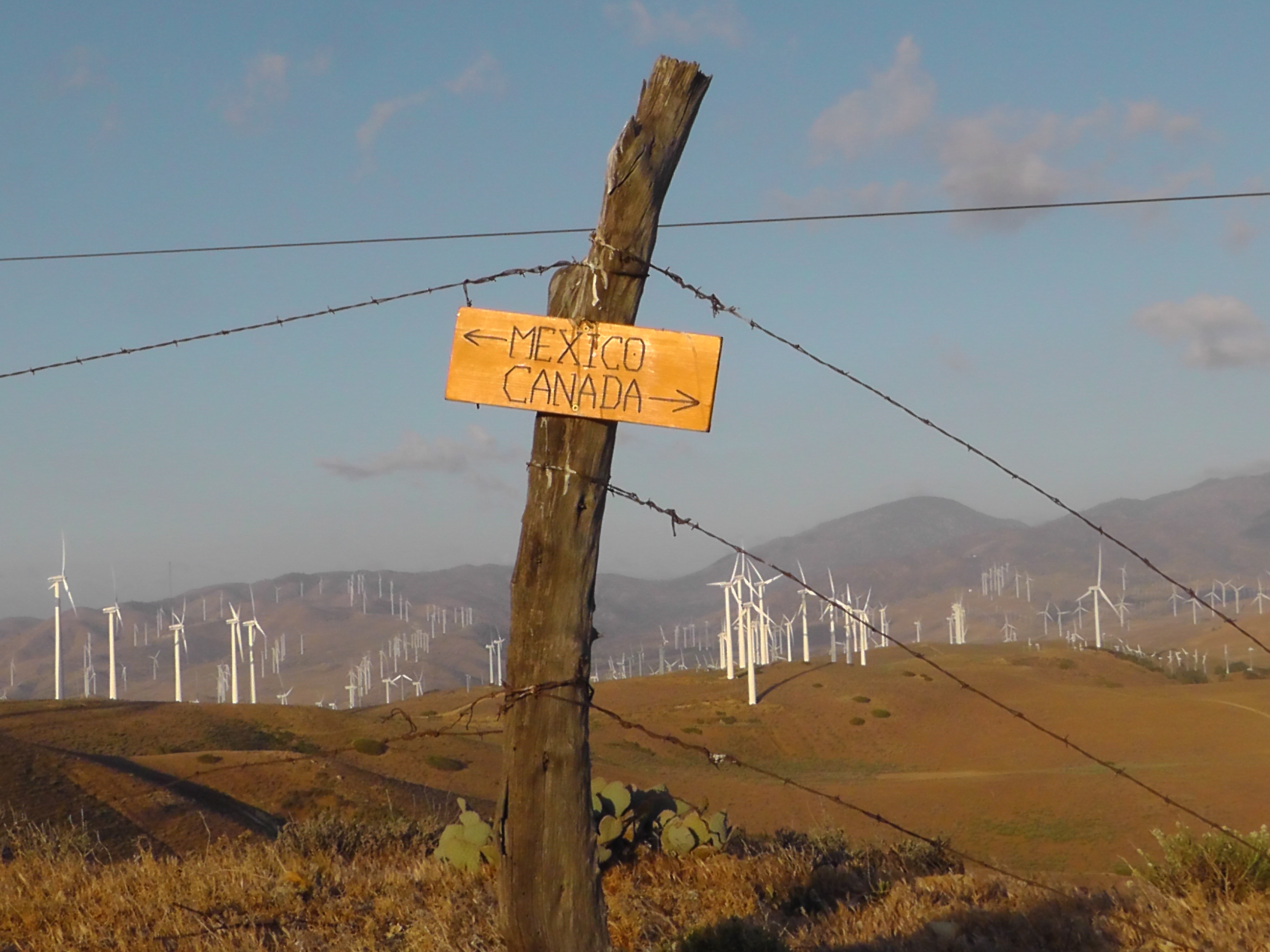
We work our way through miles and miles of turbines. The wind repeatedly blows my sun hat off, which deploys like a parachute with the cord around my neck. After being nearly choked out several times, I switch to a beanie, which looks ridiculous in the desert, but keeps my balding head from burning and my neck from strangling.

Our goal today is to be within striking distance of Highway 58, where we hope to meet my sister and trail angel Susan tomorrow morning. I rest midday in the shade, then press on. We find a couple of small bushes high on a ridge, in the middle of a wind farm. It is blowing hard, and surprisingly cold. We are surrounded by fast spinning turbines. If any of them blast raptors out of the sky, which they are known to do, we will wake up covered in feathers.

Water Cache
Water Cache

Day 33 – Aqueduct

Mile 517 to 541

Open Aquaduct
Open Aquaduct

The door to my Hiker Town bungalow does not latch and the wind bangs it open and closed all night. I am just thankful not to be cowboy camping, with desert sand blowing all in my face. I get up early to take advantage of the kitchen. I make and consume 4 servings of four-cheese instant mashed potatoes for breakfast.

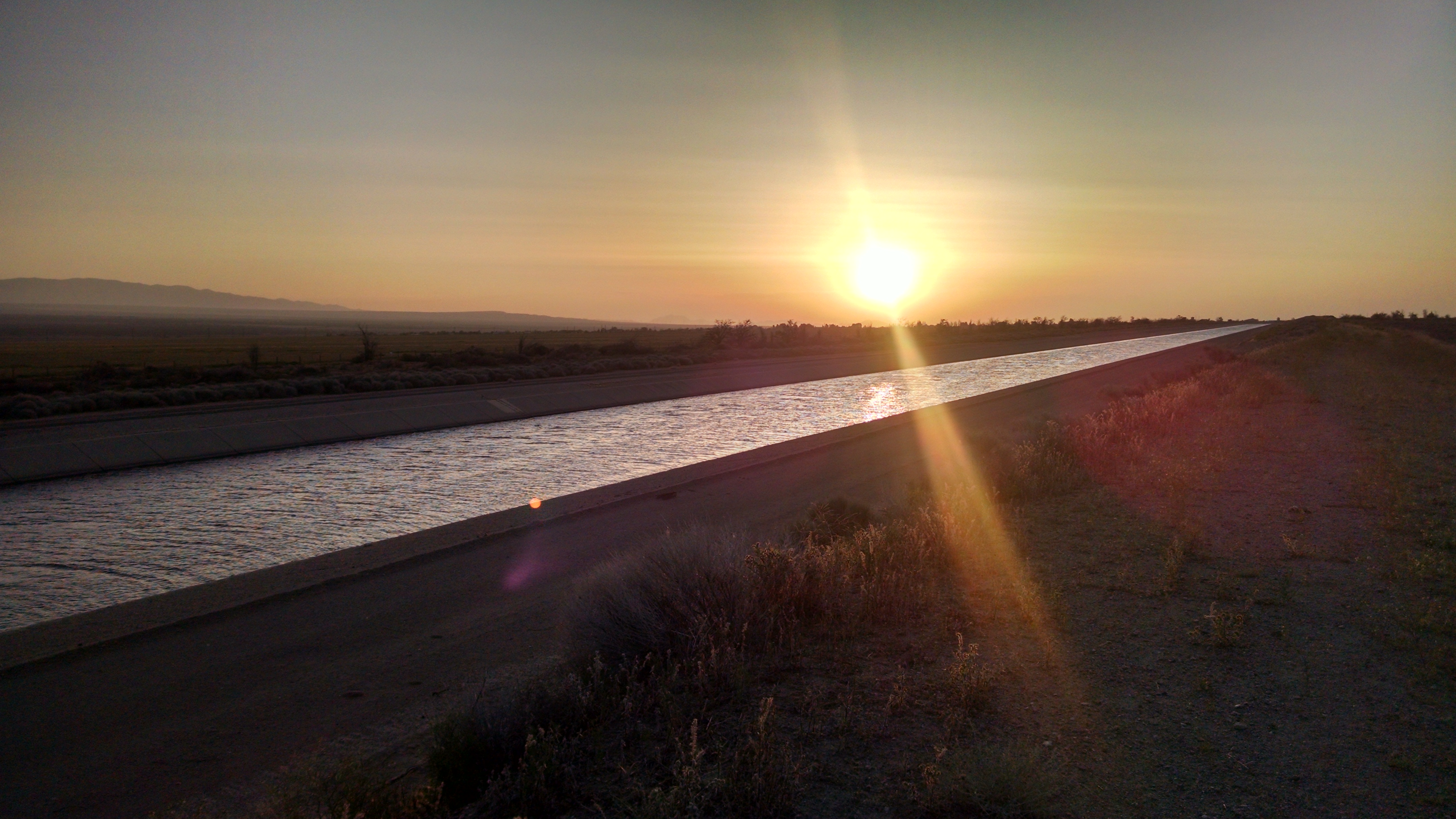
We leave Hiker Town before sunrise to walk the aqueducts. The first is open water and we wish we had a canoe. I chuckle at a warning sign that says I “may” drown. Apparently, after serious consideration, permission to drown has been granted.

Closed Aquaduct
Closed Aquaduct

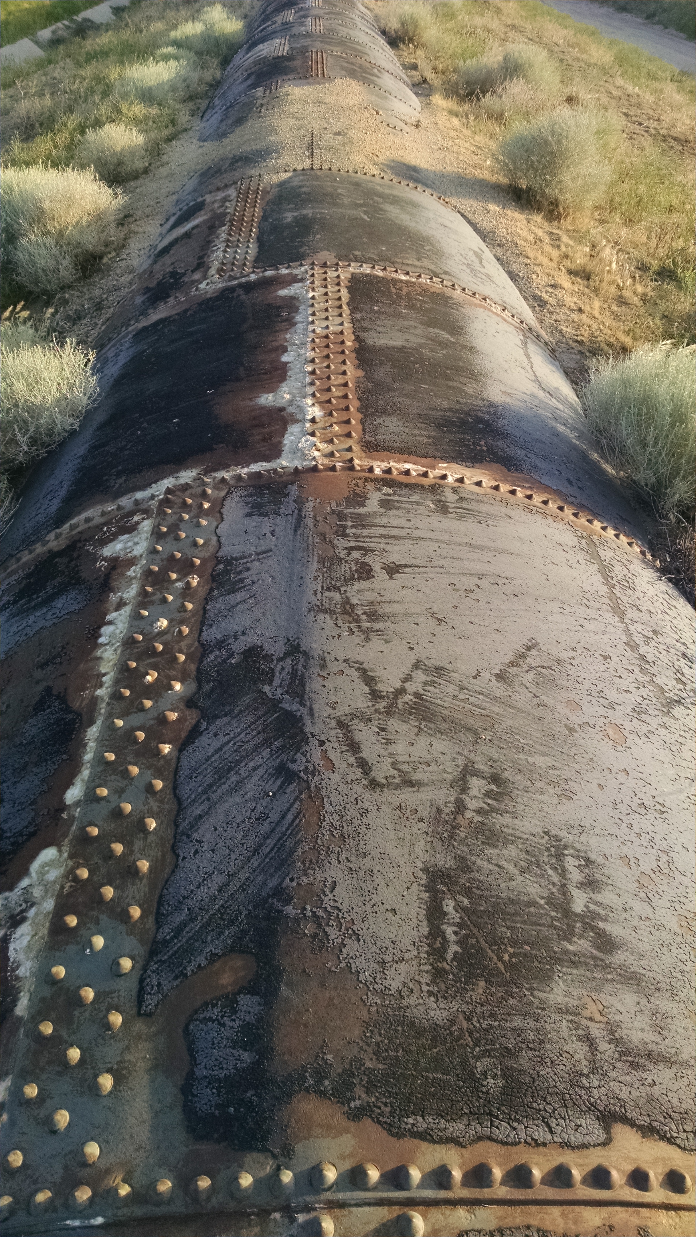
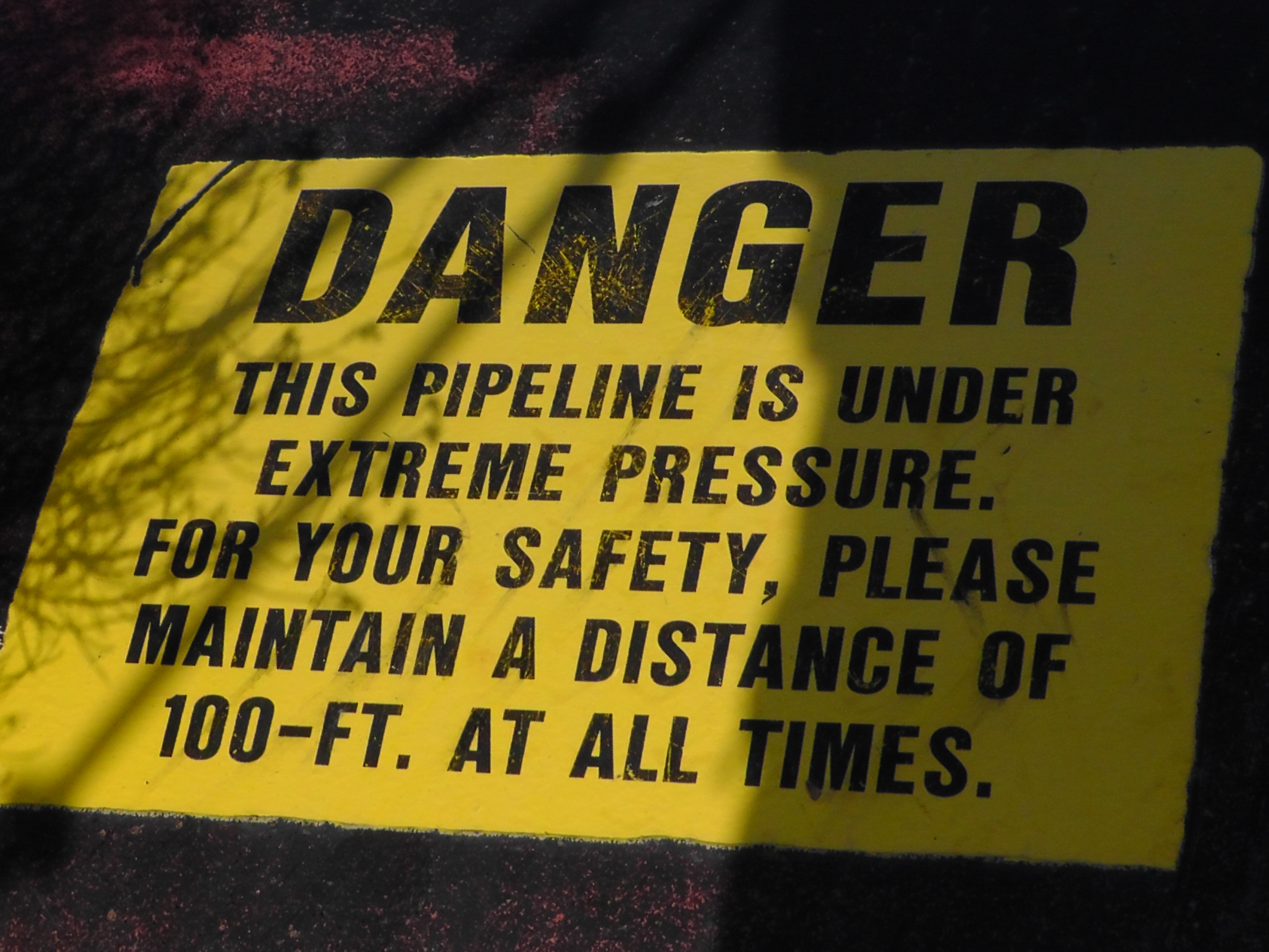
The second is a buried pipe, which I hike directly on top of for miles and miles. Eventually I come to a sign painted on the pipe that warns it is under extreme pressure, stay 100 feet away. We are fenced in by local property owners and we could not be 100 feet away from the pipe if we wanted. We wonder if we may die from an explosion, or perhaps that permission paperwork is still being processed.

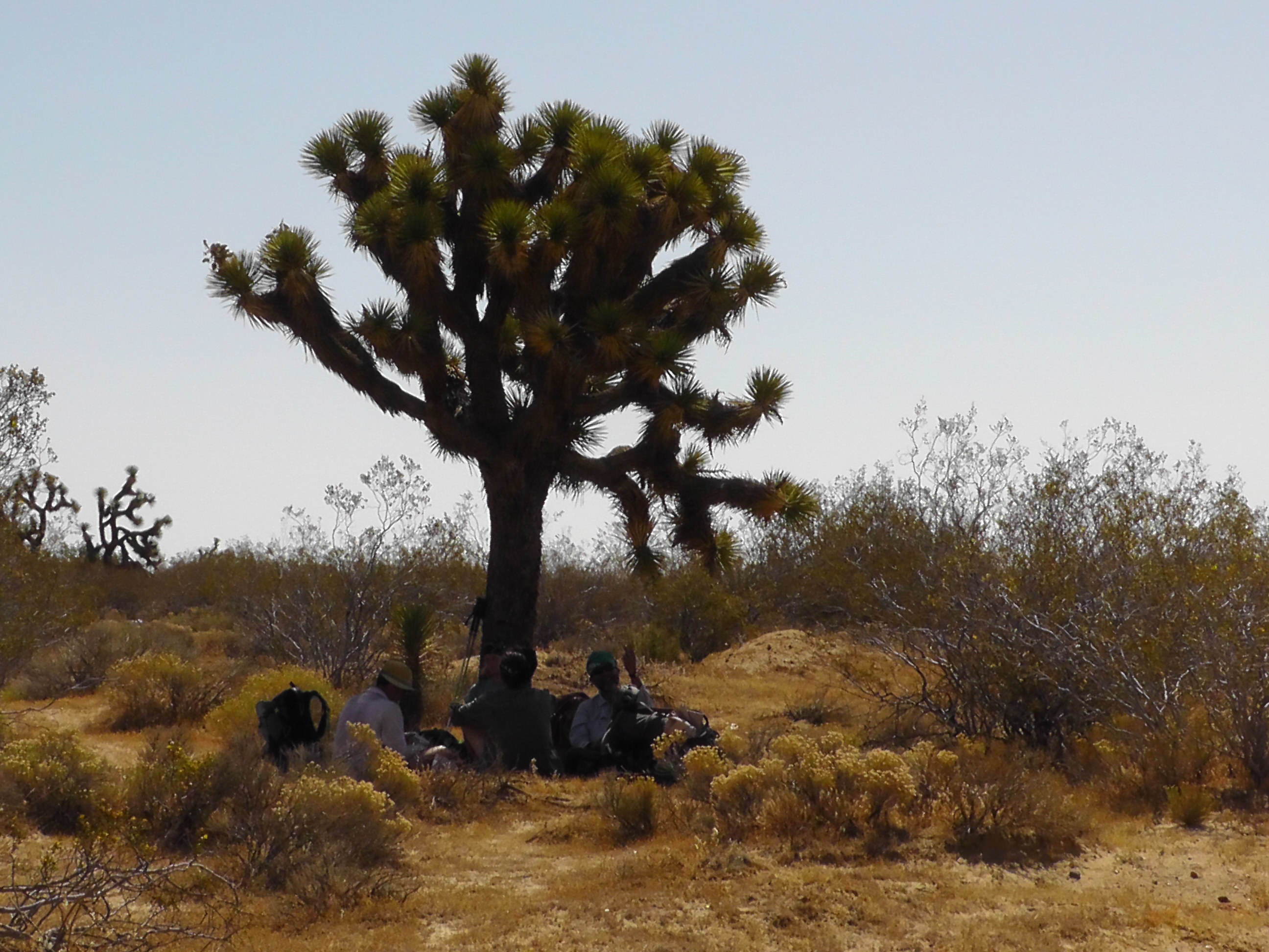
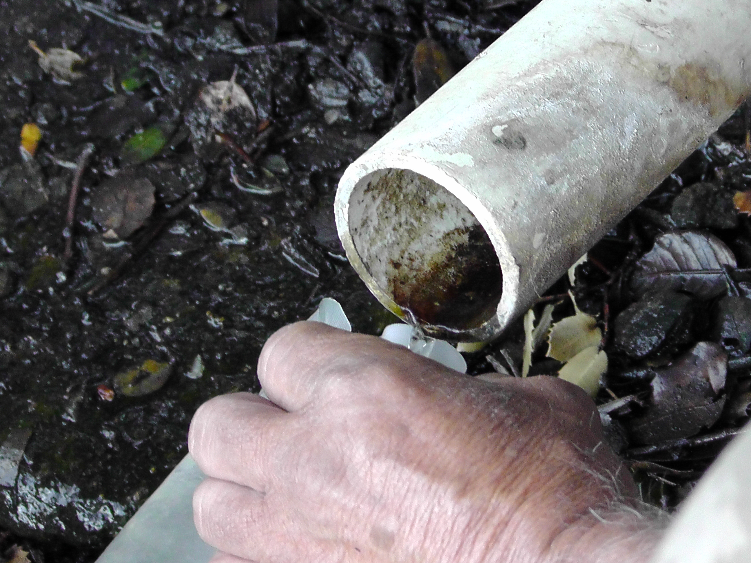
Although we are walking next to and directly on top of enough water for all of Southern California, we have no access to any of it. There used to be access holes where PCT hikers could lower a scooper, but those have all been sealed. Our next water source, a leaking plastic blue drum, is 16 miles away. Most of the hike is flat, through sandy aqueduct access roads, surrounded by shrubs and Joshua trees.

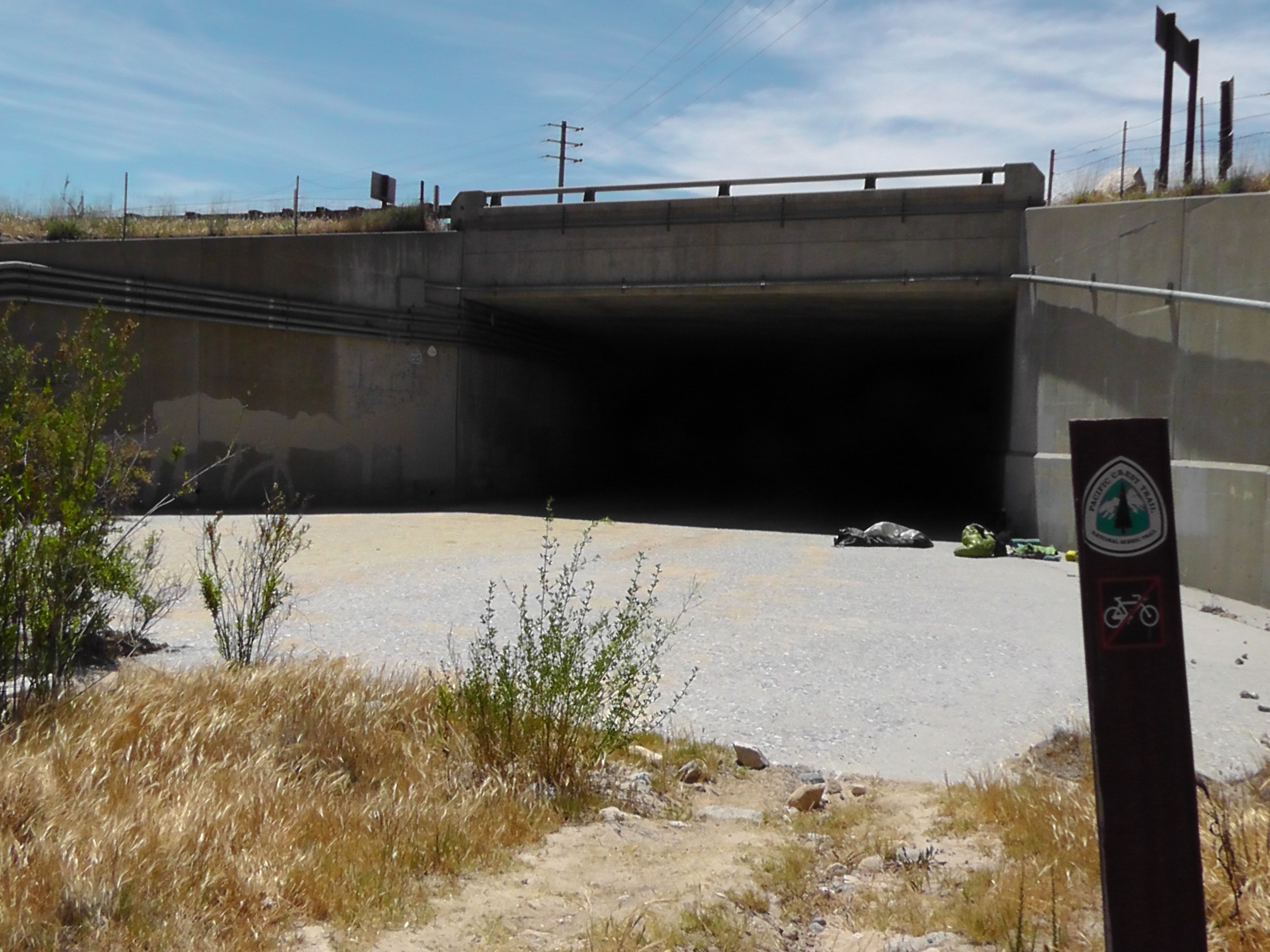
After getting water, we snack and sleep under a bridge in true hobo fashion. There are eight of us, and we look like a homeless encampment, minus the shopping carts. We are resting up for a big windy climb through a massive alternative energy windmill farm. Again there is a warning about no trespassing because of extremely dangerous wind turbines and underground power lines, and a special note saying open to PCT hikers. Apparently our permission to die has been granted here as well.

We stop to camp at a tiny trickle of oh so yummy seriously needs to be filtered water. There is no more water for the next 28 miles, unless someone has set up a cache, but those are difficult to count on. So I guess we may actually die.

Under Pressure
Under Pressure
Joshua Tree Shade
Joshua Tree Shade

Day 32 – Hiker Town

Mile 478 to 517 (road reroute)

Road Walk
Road Walk

I pack up in the dark. We decide to do the road walk to Hiker Town, and I want to beat as much of the heat coming off the asphalt as possible. We are complaining about the heat, but frankly we are very lucky. Most seasons are much hotter. The Anderson’s offer a pancake breakfast, but we are heading out too soon. The coffee, however, is fabulous.

Everyone that stays at Casa Luna has to have their picture taken in front of the banner. Someone asks Terry to be in the picture, but she declines. Her husband frames the picture and counts down. When he gets to 3, Terry spins around and moons the entire group. In the split second that everyone reacts, he snaps the picture. Some are laughing, some are shocked, some are turning away. Every picture, of every group of thru-hikers, all season long, season after season, is taken this way. Terry laughs and says, “Now you know why it is called Casa Luna.” She gives hugs to everyone and drives us back to where we last left the trail.

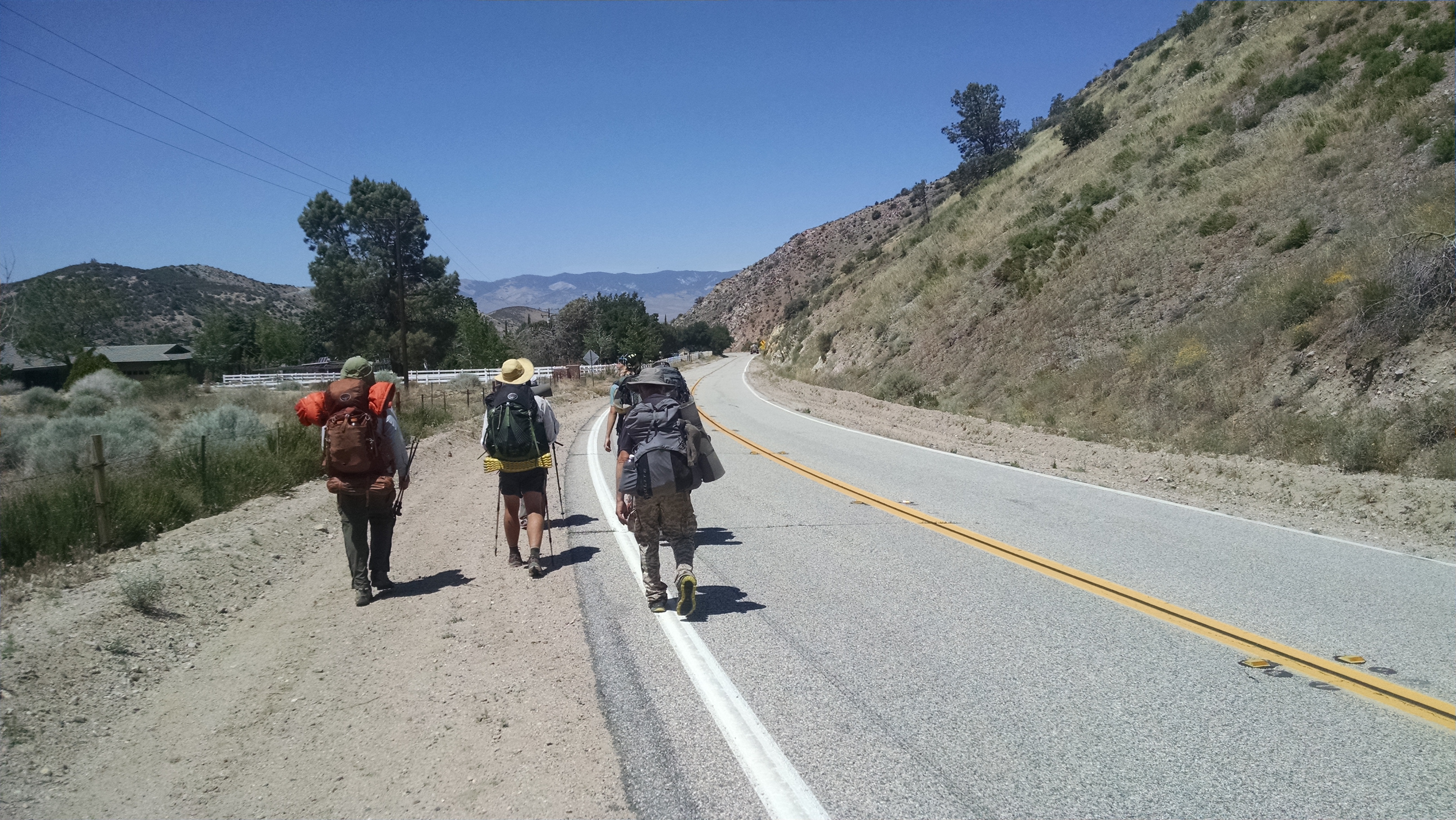
We hike as a fairly large group, jumping out of the road whenever a car rips by, but otherwise we hog the pavement. The road is tearing up my feet worse than any trail. We make one convenience store stop for junk food, but otherwise it is a death march to Hiker Town.

Hiker Town
Hiker Town

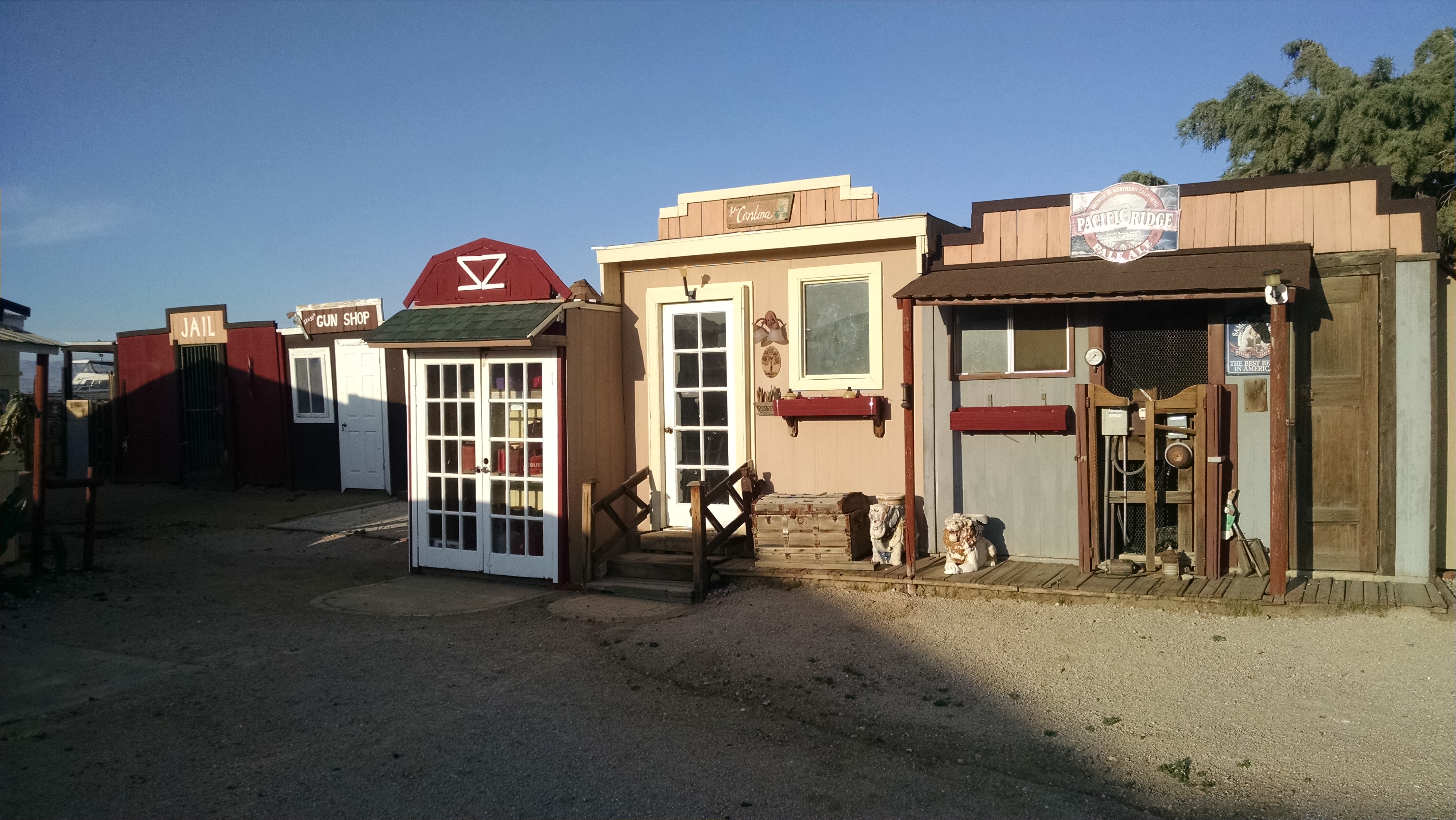
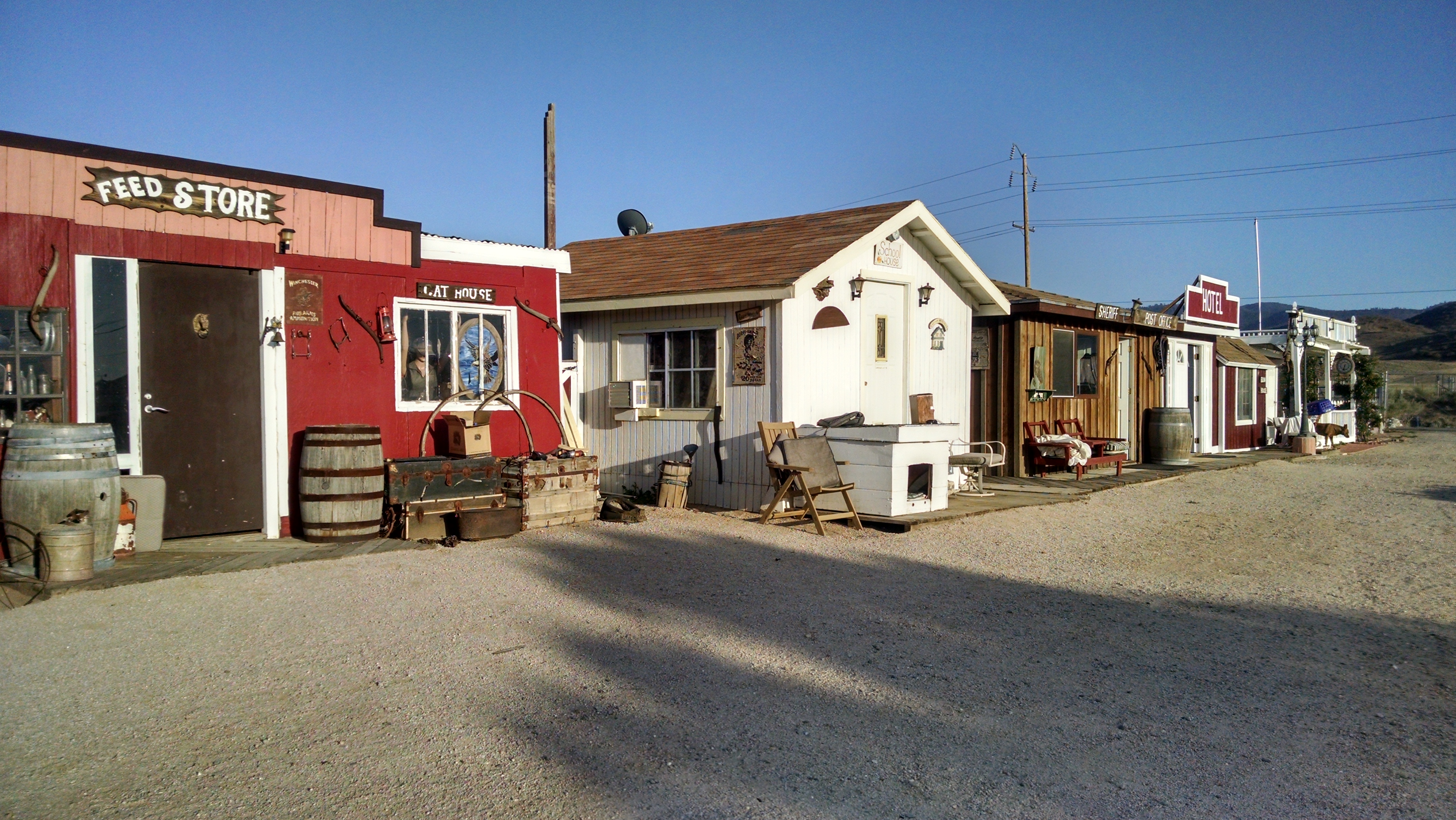
Hiker Town is an interesting “hostel.” It is made up like a tiny ghost town with little stores, a post office, a jail, etc. Many of them are little bunks you can sleep in. There are also trailers and a common garage area with couches, kitchen, bathroom, shower and laundry. Hikers here are preparing to face the ironically waterless aqueduct march. There is water cached 16 miles out. After that, nothing for over 40 miles. In fact, there is none there either, but there is a road to hitch to Tehachapi.

Hiker Ghost Town
Hiker Ghost Town

Day 31 – Hippy Day Care

Mile 462 to 478

The Anderson’s run Casa De Luna, also know as the Hippy Day Care. It is 16 miles away, fewer miles then we normally target, but it is hot and they provide thru-hiker comfort. It’s exactly what we need.

From the high ridge there is a long sweeping down. I try to enjoy it, but across the valley I can see a monster up. Sometimes it looks so far away I catch myself thinking, “Is that a road?” But then I can see tiny backpackers, carrying tiny backpacks, way off in the distance. Numbers is carrying a reflective sun umbrella which can be seen for miles. The flash is depressingly far away.

Water Pipe Drip
Water Pipe Drip

I am carrying a lot of water. Too much it turns out. Our first source is a trickle from a plastic pipe stuck deep in a pathetic spring. It takes forever to fill my Sawyer water bag and filter. As we press on we come upon a hidden oasis of shade, chairs and bottled water. Bummer. Why was I carrying so much? Later another hidden cache. And even later another one. This is ridiculous. A hidden cache only helps the totally unprepared and reckless. The prepared, who carry the correct amount, are made a laughing stock. If I didn’t, however, the caches would not have been there and you would be reading my obituary instead of this gripe.

Truck Hitch
Truck Hitch

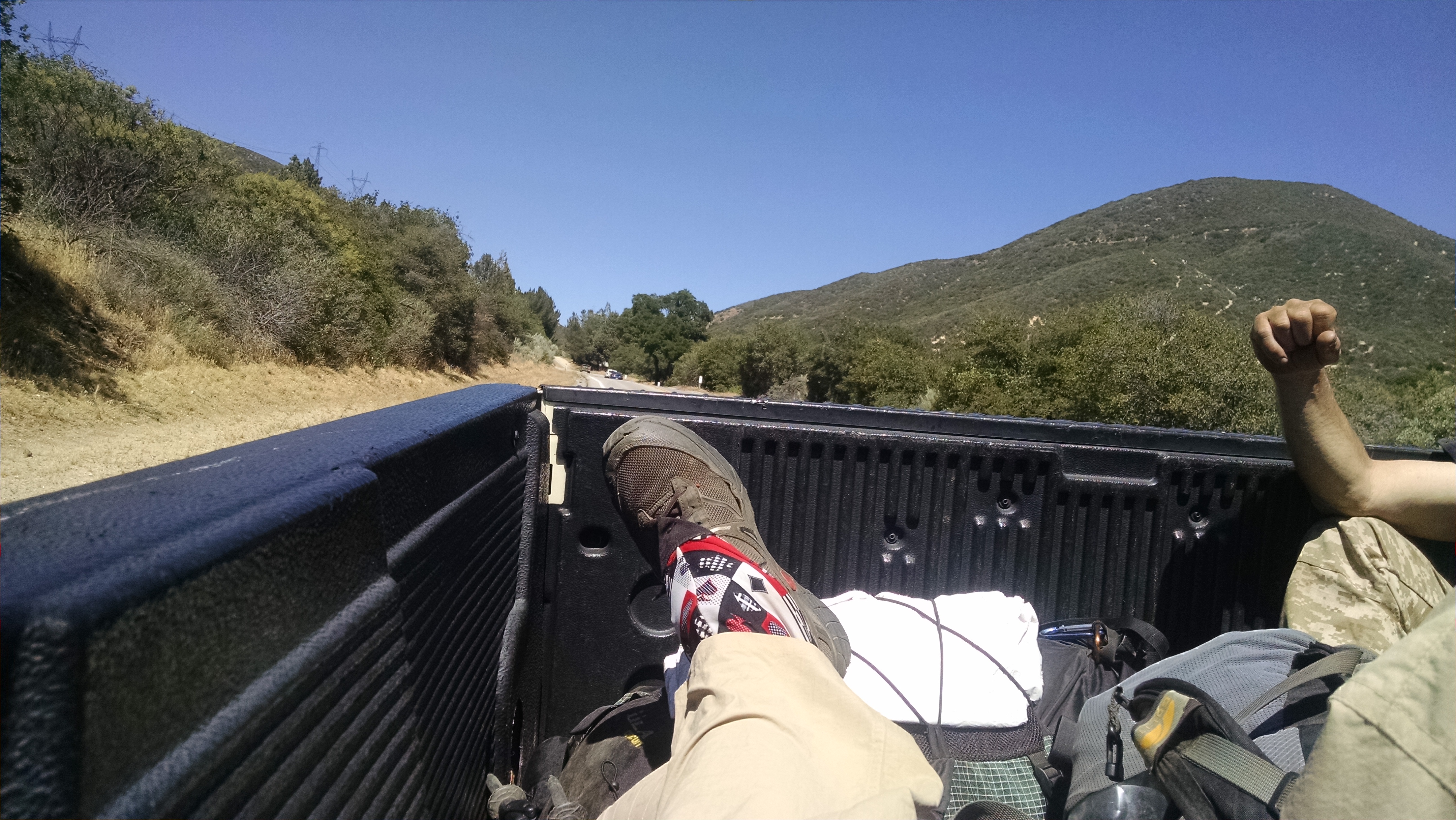
At the highway we try to hitch to the Anderson’s. The first car to stop is an unmarked Sheriff with two officers inside. What are we doing they ask, now with their lights on. “We are trying to get to the Anderson’s, we are thru-hikers.” Well I might as well have said “We are here for your women and children, we are from another planet.” Eventually, after explaining the entire movie plot of Wild, one says “All the way from Mexico, huh… Your feet must hurt.” They decline to offer us a ride, which given the cage in the backseat, we are fine with. A few vehicles later we are riding in the back of a pickup truck, hoping our friendly Sheriff does not notice.

Required Hawaiian Atire
Required Hawaiian Attire

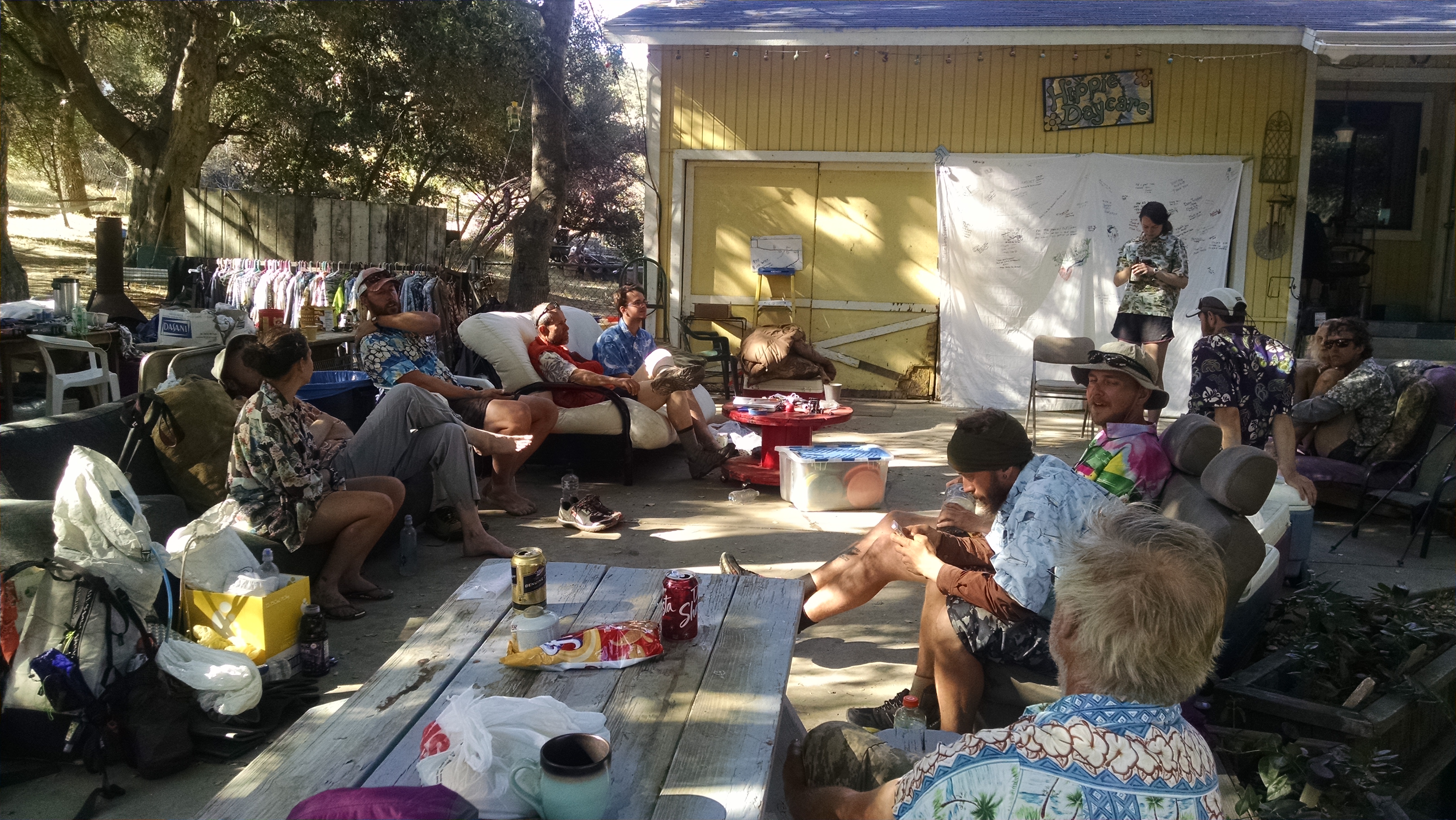
When you arrive at the Anderson’s everyone is sitting out front in Hawaiian shirts, the required attire. There is a long, slow building to fast, clap for each new arrival. The first thing you must do is pick out a Hawaiian shirt from the rack, then have a beer or soda. There are camping areas in the back, portapotties, showers, battery charging stations, rock painting, and lawn bowling (with bowling pins and bowling alley balls). The one serious rule is: do not let the dog out.

I help make dinner by setting up the propane powered industrial size stove, and cooking Nacho cheese. Every night is taco salad with all the fixings, and every morning is pancakes and coffee. About 40 hikers are here tonight and it will be like this every night for several months. We are like Monarch butterflies, or perhaps more like locusts. The numbers this year will be record setting.

Tomorrow we face another reroute, and everyone is trying to figure out which of the three road walk options to take. None of them are official, so it is up to us to decide. The one with the most road miles also has the most water. The one with the most trail miles has something like 38 miles with probably no water. We sleep on it and will decide in the morning.

Hippy Daycare
Hippy Day Care

Day 30 – Agua Dulce

Mile 444 To 462

The KOA is full of cub scouts and boy scouts. Last night was their loud movie night, projected on a giant sheet and definitely cranked to 11. The grass area is full of thru-hikers who normally go to sleep with the sun. It is funny watching the party age beer drinkers grousing about being kept up past their bedtime by a bunch of 8 year olds.

It has been very hot and I want to beat the heat up the big climb. I start packing up in the last of the setting moonlight. I make instant coffee and chomp on the last slice of cold pizza. It is delicious. As I pack up my stove, I notice a stream of ants on the table. What are they doing? They appear to be headed towards the pizza box. When I shine my light on the pizza, I see a massive crowd of angry ants wondering what monster just ate half their friends? I remember the time my brother Rob ate ant infested Almond Roca. We laughed and laughed about that. Somehow this time is not quite so funny. Todd tries to give me the trail name “Anteater,” which I graciously decline.

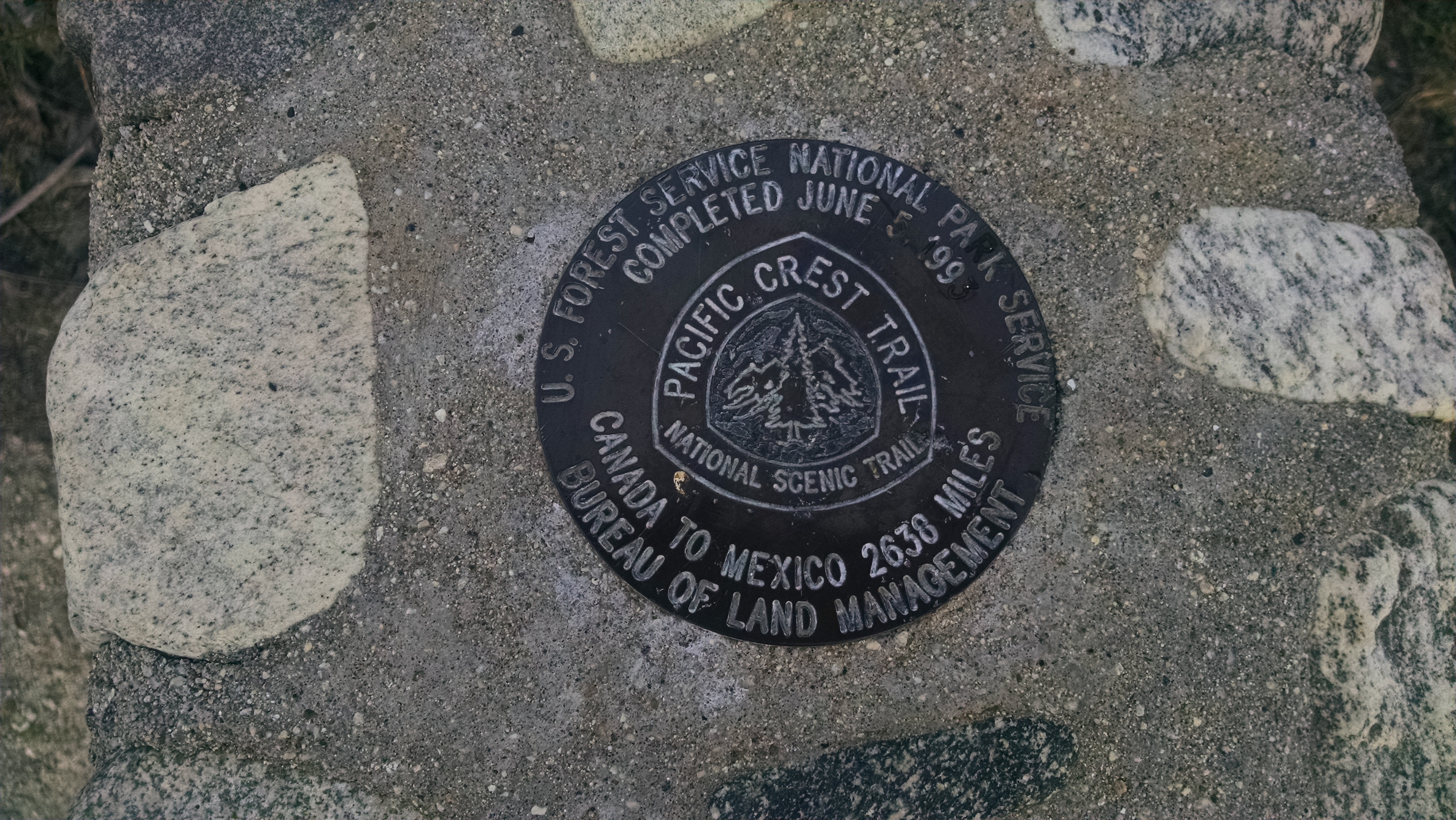
PCT Gold Spike
PCT Gold Spike

Leaving the KOA we pass the PCT golden spike monument. I guess this is where the final trail connection was made. On the way up the hill I keep hearing strange haunting sounds, but not clearly enough to know if they are coming from down in the valley, or just in my head. Todd reminds me there is some wild animal shelter and they even have Michael Jackson’s old leopards or similar cats. He said he thought the noise was the animals being fed, or someone playing adult videos way too loud.

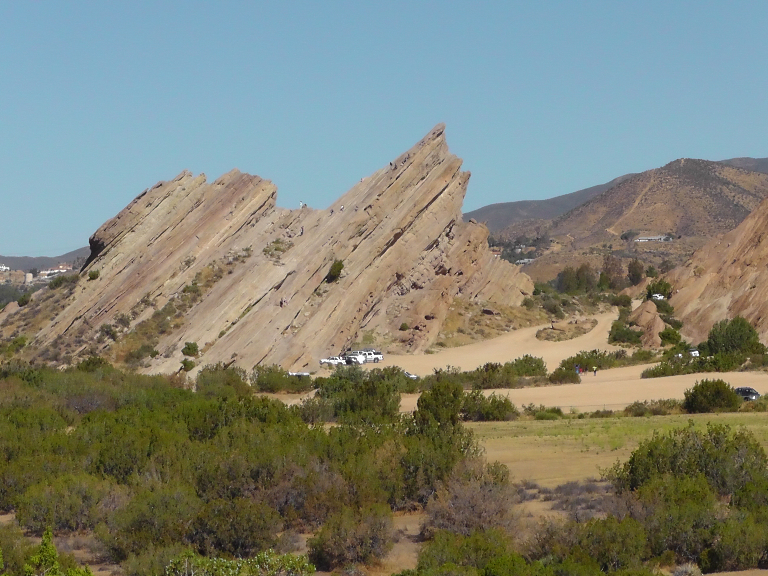
Tilted Vasquez Rocks

We hike under Highway 14 and through and around the amazing Vasquez Rocks. If not on a mission, this is definitely a place to rock scramble on massive tilted formations.

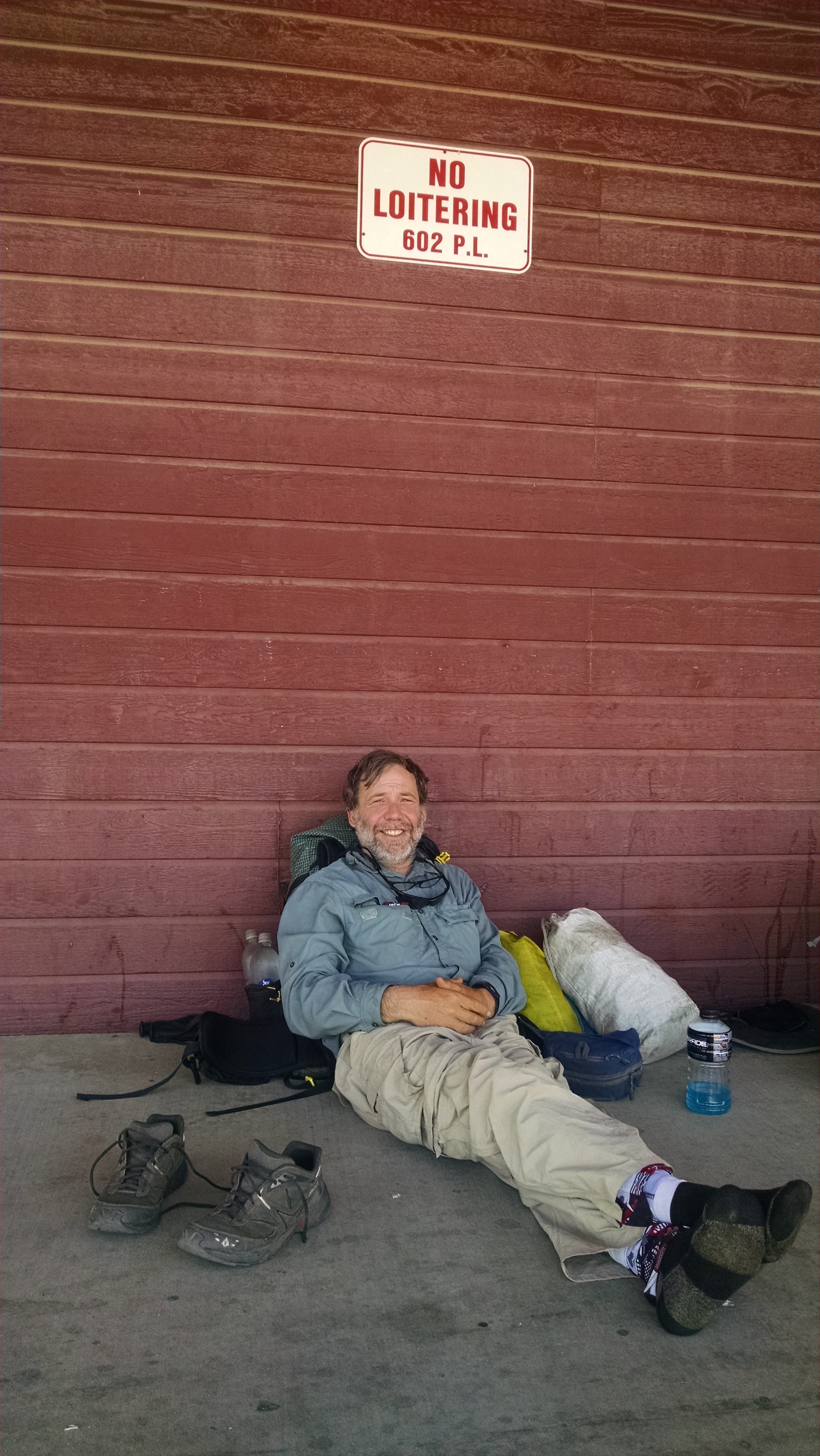
In Agua Dulce I have a great meal, resupply food, then chill at the grocery store for about 4 hours in front of the no loitering sign. It is just way too hot to hike, and being well below the tree line, there is no shade in sight. At 4:00 pm. I start to hike. It is still hot, but not like it was at 1:00 pm. Several hours of walking later, I crash at the top of a ridge, where about a half dozen other thru-hiker’s are huddled. It may be my last cell service for a while. I do not even cook, but just eat bars and globs of peanut butter. I try to sleep, cowboy style, under the full moon.

Loitering Schmoitering

Day 29 – KOA

Mile 430 to 444

I wake at 1:30 am, only to remember how stupid I am. I plug the phone into the charger again and set it next to, but not in, my sleeping bag. I pray for Lithium forgiveness and fall back asleep. I wake at five to find one of the blue lights on my external battery off, meaning 1/4 of the power went somewhere. Did it go in my phone, or just leak all over my Tyvek ground cloth? I press the button on my cell phone and almost cry for joy when I hear the annoying “Droid” as it powers up. The greatest news is that no one has to know I do not know my wife’s cell number.

Snake Blocks Trail
Snake Blocks Trail

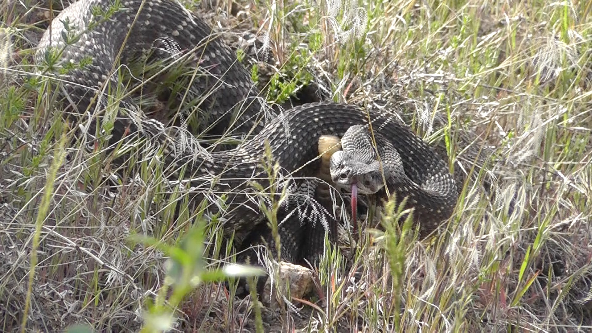
We press on towards the Acton KOA. It is much hotter today, and we are feeling it. On the way I come upon a group stopped dead in their tracks. A huge agitated rattlesnake is blocking the trail and there is no way around. The group has been here for over ten minutes. I take some video, then encourage the snake across the trail, feeling very brave.

A few minutes later a racer snake rips down the hill and ends up between my legs, and on my foot. As I complete my stride, the poor snake goes flying. I think the snake and I shared a moment of excitement neither of us will soon forget.

My plan was to resupply at Agua Dulce, but most hikers are instead heading to the KOA. It is the last chance for a shower and laundry for awhile. I will still need to resupply some food as we walk through Agua Dulce, which has an actual grocery store. I mostly need snack bars. Todd has shipped a resupply to KOA and has way too much. His left over Pasta Sides and instant potatoes will tide me over. I am not sure if the grocery store will have a medium sized fuel canister, so I purchase a huge one here. I do not look forward to carrying the monster, but at least I can cook. Tonight, however, we order pizza, a large Canadian bacon and pineapple, which we feast upon.

Day 28 – Poodle Dog Bush

Mile 407 to 430

Today is Todd’s birthday, so I give him one of my prized Starbucks VIA instant coffees. We have been hiking together the last couple of days. Hiking together means you keep passing each other and you end up at the same camping/tenting area.

It is strange that there are hundreds of hikers in the same section, heading in the same direction, and you rarely see them. If they are faster than you, they pass and you may never see them again. If they are slower than you, you pass them and may never see them again. The person with the perfect pace for you maybe a few miles ahead, or a few miles behind, and you never even know they are there. There are some places where hikers bunch up, like Paradise Cafe, Cajon Pass McDonalds and at water sources when they are few and far between. Lately we have been bunching up at decent campgrounds.
Poodle Dog Bush
Poodle Dog Bush

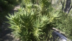
Today we face yet another trail reroute. This time for Poodle Dog Bush. For those that do not know, Poodle Dog Bush can cause extremely nasty rashes similar to Poison Oak, Poison Ivy, and Poison Sumac. You may notice those each contain a key word of warning. Whoever named this Poodle monster did so irresponsibly, almost encouraging you to pet it or at least let it brush up against your leg. I am not sure how many types of poodles there are, but the namer also felt compelled to clarify the “dog” kind. Then, as if required by legal counsel, added “bush”, so as not to mislead you into thinking it is an actual “dog.” I probably would have left the “dog” part out completely.

The official PCT routes around the Poodle Dog (not a real dog) Bush section. Todd and I, however, after surviving the dangerous Highway 2 road walk decide to take on these poodle puppies. We are after all, men. Yes men that got kicked off the trail by frogs, but men none the less.

After surviving the fierce poodles, we press on to Messenger Flatt’s campground, a popular bunching place. We catch up with Dish Cloth, Numbers, Hot Mess, and a bunch of other hiker names I fail to remember.

After dinner my smart phone goes completely dead. No problem. I hook it up to my charged external lithium battery. Problem. Still dead. I let it charge for about an hour. Nothing. Still dead. Maybe it does not like the cold. I tuck them in with me in my down sleeping bag. After another hour, still nothing. Panic. All my layers of stupidity rise to the surface. I am no longer carrying paper maps. They have to be mailed and picked up, and I never looked at them. I have no water report. I cannot blog. I cannot communicate with Terri regarding Sierra resupply shipments. I cannot even call Terri on someone else’s phone because I do not know her number. It is on my dead phone. I do not know my son’s number, my dad’s number, my sister’s number. I am a complete idiot. The number I do know is our old land line that, after a zillion years, we just got rid of.

As I wallow in my stupidly, I start thinking about the lithium battery in my sleeping bag, frantically trying to charge my stubborn phone. Aren’t these the batteries you cannot take on airplanes because they overheat and burst into flames? PCT News headline: Retard burns to death trying to charge lithium batteries in a down sleeping bag.

Day 27 – Recalculating

Mile 384 to 407 (plus reroute)

Too Late!
Too Late!

Many AT hikers claim the PCT is easy because it is graded for horses, and therefore not as steep. Today I am hiking a portion of the trail that would piss off any horse. The grade has to be 30%, and I am pretty sure that is not a passing grade.

Most of us have experienced a reroute. We are driving along following our GPS when the road is blocked and we have to find another way. The GPS, clearly miffed at our insubordination, says “recalculating” and suggests another route.

The same thing happens on trails. The most common closure is caused by a fire, either one actually burning (reasonable) or a previous one that so damaged trail it is no longer passable (this really should have been fixed by now).

Endangered Species
Endangered Species

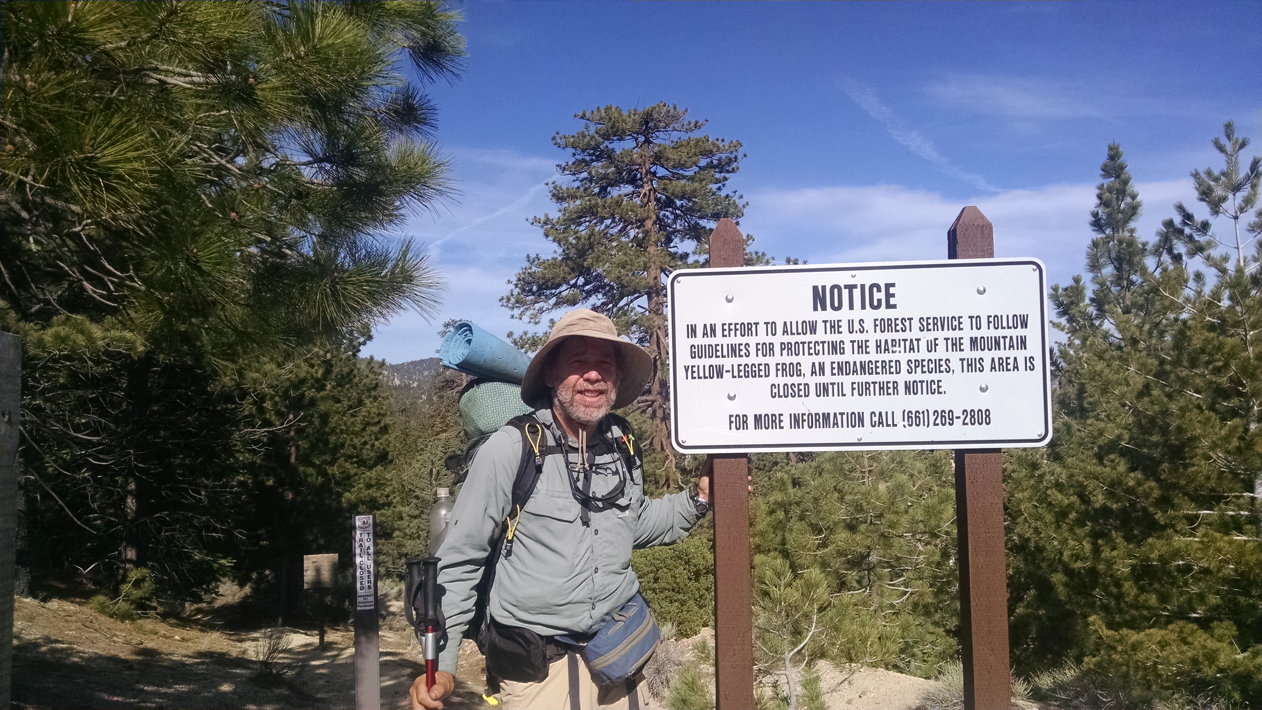
Today’s trail closure, however, is caused by endangered frogs. Now before you say anything, I know what you are thinking. If enough endangered frogs can actually blockade the trail, then perhaps they are not as endangered as we think. Further, if a lack of frogs in this area is the problem then why can’t thru-hikers be part of the solution? Give us handfuls of endangered pollywogs to plant like Johnny Appleseed. Like most of my ideas, this one goes no where, and we have to deal with a reroute.

Last year’s official reroute was a 2.5 mile road walk, then about another 3 mile hike down the Burkhart Trail to the PCT.  Because of the book and movie Wild, this year’s number of thru-hikers could approach 2,000. A road walk of even a couple miles would look like a million homeless man march. Jessie Jackson would show up, stand in the front and protest the underrepresentation of people of color.

To avoid a road walk, this year’s official reroute is over 20 miles long, on multiple not well maintained trails, to get around a tiny three mile section of PCT trail closure. Suffice it to say I have not met a thru-hiker yet opting for the extra 20 miles. We walk the 2014 official route.

By the time I make it to Sulfur Springs camp I have walked over 24 miles. My feet feel and look like ground hamburger meat.

Day 26 – Baden Powell

Mile 369 to 384

I have a great breakfast at a cafe, then head to the hardware store to be there when they open. I am told the truck arrived late and they have not had time to unload the totes, so my lithium batteries are somewhere in the mix, but who knows where. Four women proceed to rummage through all the crates, apologizing constantly, but never giving up. They eventually resort to turning crates over in the aisles and spreading merchandise all over the floor. This goes on for an awkward amount of time, when suddenly a woman cries out as if she has just found the final gold Wonka wrapper. This town is too hiker friendly to believe.

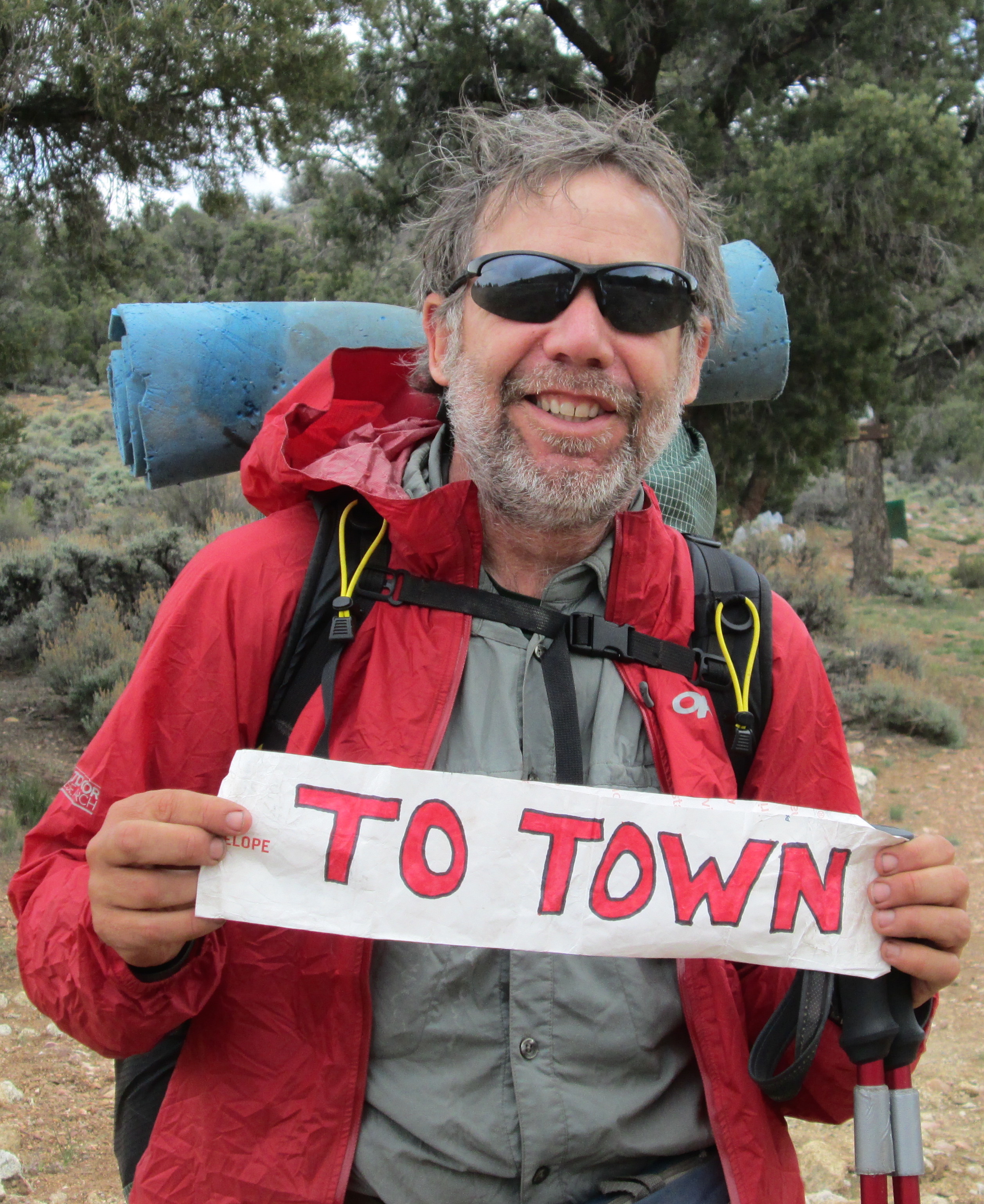
In the parking lot, before I can even raise my “To Trail” sign, a Prius pulls up and the driver says hop in. Don is a retired school teacher from Thousand Oaks where Terri and I once lived. He swifts me back to the trailhead. I am not sure if the nicest people in the world are drawn to live near trails, or if trails actually make people nice. When I get home I am going to build a trail through my backyard.

I have been fairly active in scouting. I was in a troop with my brother and our dad was the scoutmaster. In Pleasanton my three boys were scouts and I was the scoutmaster. Aside from a few political and social issues the organization has struggled with, I think it provides a great service to young boys. And it all started with Baden Powell.

Mount Baden Powell
Mount Baden Powell

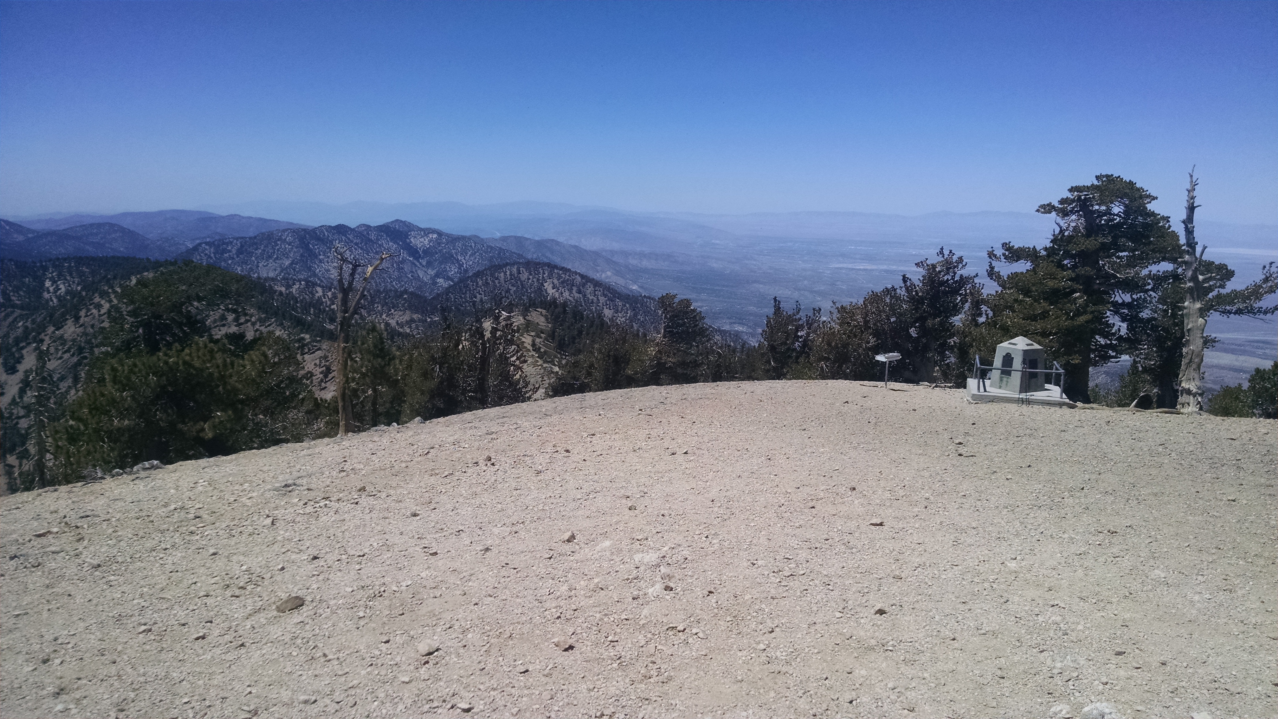
Today I am climbing the mountain named in his honor, the 9,383 foot high Mount Baden Powell. The grade is extremely steep and there are a zillion switchbacks. I know because I count them. Halfway up I begin to think of other ways we could have honored the man. The Baden Powell National Scenic Prairie for example. Or the Baden Powell Gently Sloping Downward Trail.  Or the Baden Powell Water Slide and Theme Park. Instead I continue to climb the Mount Seriously Did You Want To Kill These Boys Baden Powell.

The view at the top is fantastic. I would love to be standing with Brian, just as I stood with my dad next to this very monument. I was probably all of 13 years old when we backpacked the Silver Moccasin Trail.

I push on to Little Jimmy campground, with pit toilets and picnic tables. Having gotten a late start this seems like a great place to crash. Besides, I am pretty sure I camped here before with Dad.

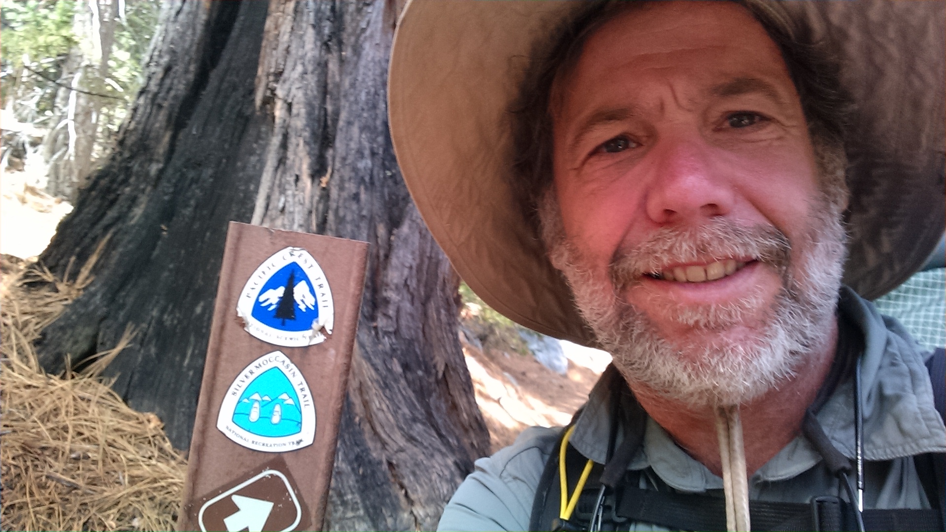
PCT / Silver Moccasin Trail


Day 25 – Wrightwood

Mile 352 to 369

socalDpass
Morning View

To avoid getting stepped on, I rise early and get going. I was passed in the night by two hikers, whom I now find asleep next to the trail, in positions no better than mine. Sometimes the trail does not give you a place to sleep, but you squeeze in anyway. The vistas back on the pass are fantastic, but I earn them with a lot of up.

The tread of a trail is sloped outward so water will run off in sheets, decreasing damage from erosions. On a meandering trail, the slope changes often enough that you hardly notice it. This trail, however, hugs the same side of the mountain for miles and miles. The 1 to 2 inch out slope, usually so innocuous, is now out right tortuous. It is like walking with a limp for hours and my muscles protest formally, possibly in a letter to the UN. I fantasize about a hydraulic heel, which automatically adjusts to the topo contours. Necessity may be the mother of invention, but right now she is just a mother.

To distract my mind from the pain I remember a story from Deep Creek I forgot to mention. I stop to pull some Peanut M&Ms from my pocket (which is not the part worth mentioning) when I hear a blood curdling cry for help from a girl. I quickly drop my pack and flip into certified Wilderness First Responder mode. I spin around trying to locate the girl. She cries out again and I realize it is coming from a bush high on the upside of the trail. She must have fallen from a higher switchback and though exhausted I am trying to figure out the best way to reach her. There is yet another desperate wail, when a bobcat quickly darts out of the bush and goes back in. Suddenly it is all becoming clear. The bobcat is already rendering assistance. No, no, wait, wait. Is that really the sound of a bobcat in heat? The wailing continues.

Resigned to a new role, I quickly switch from Wilderness First Responder to wilderness videographer and pull out my camera. The second the camera is out the wailing ends. After an inordinate amount of time, I give up and put the camera away. The wailing begins immediately. I pull out the camera and it stops. This continues back and forth until I realize whoever the participants are, they do not want the event videotaped, not even just for the audio. As I walk away I wonder why bobcats in heat so clearly mimic a crying little girl. This role playing must be working for at least one of them.

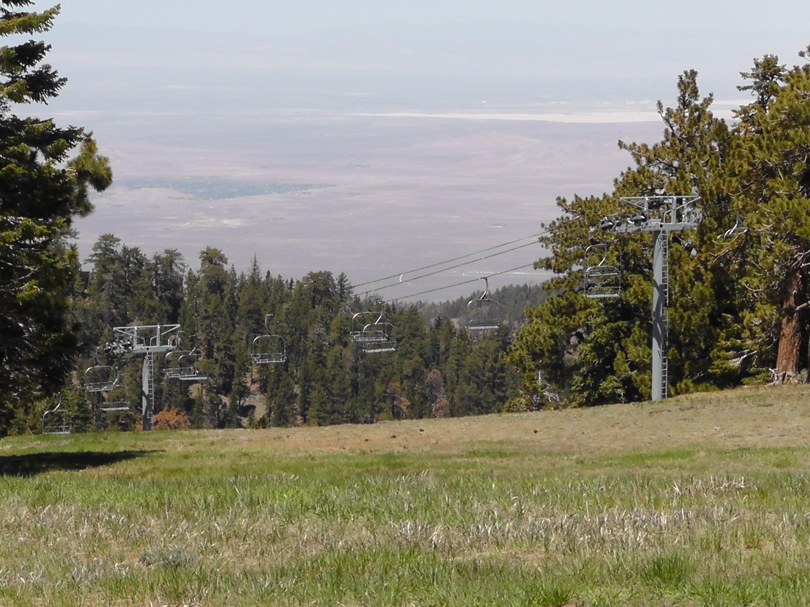
Wrightwood Ski Resort

I push on past the snowless ski resort and eventually end up at Inspiration trailhead, where I hope to catch a hitch to Wrightwood. Good news. There is a crowd of people and three cars. As I approach they cheer and then fist pump the rare thru-hiker sighting. I think it odd that the three cars are identical, then realize they are all wearing Latter Day Saint pins. Suddenly I feel like the one making a cold call as I pitch the idea of giving me a lift. Apparently since I am not wearing a pin, the LDS insurance will not cover me. Luckily another car drives by and my good looks and charm stop her. She asks that I get in quietly because she has a sleeping baby in the car. What a country.

Wrightwood is extremely hiker friendly. The hardware store says the AAA lithium batteries are coming in and they will hold some for me. So all is right in the world.

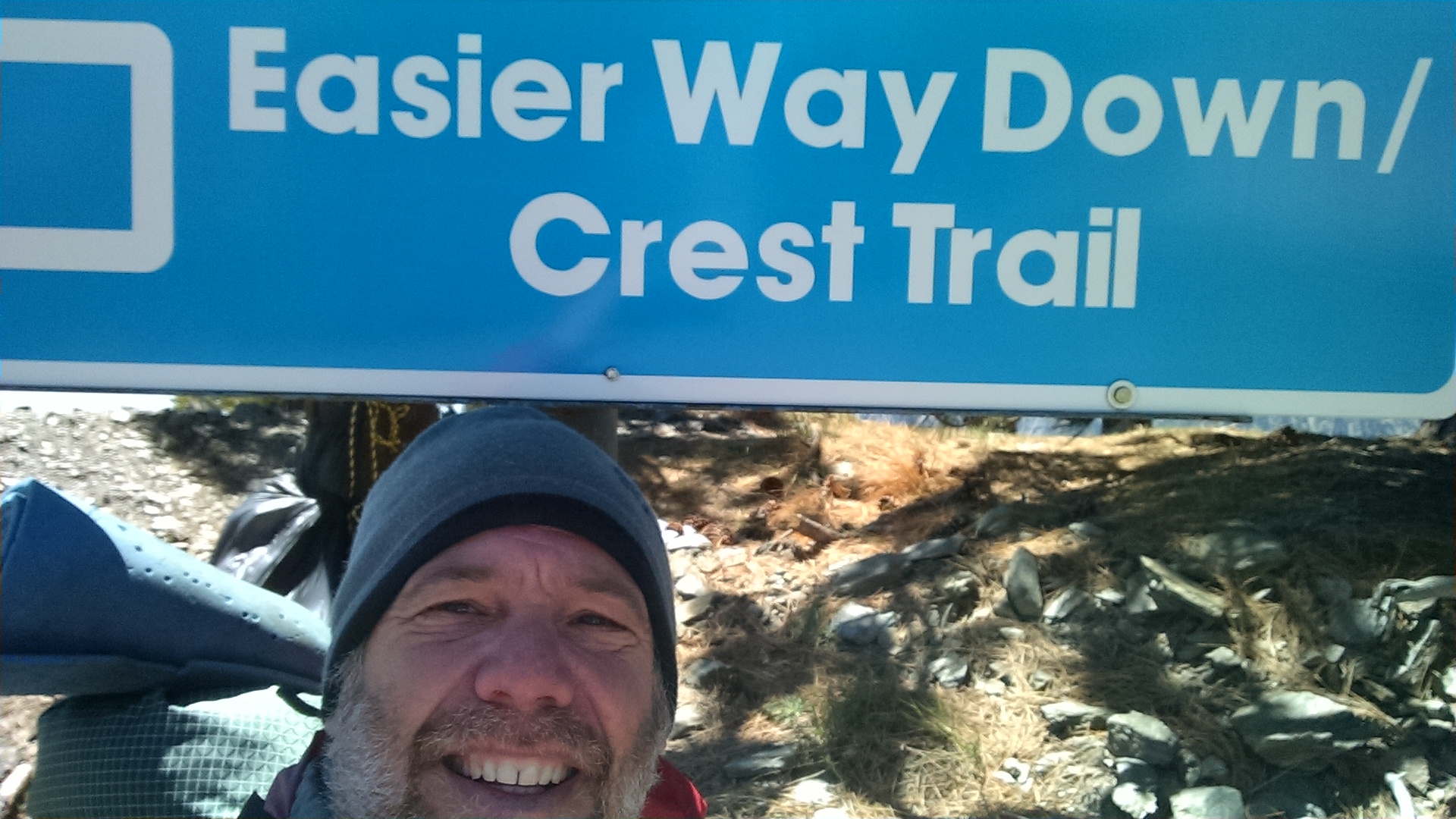
Easy Way?
Easy Way?


Day 24 – Mickey D’s

Miles 329 to 352

Train Tracks
Train Tracks

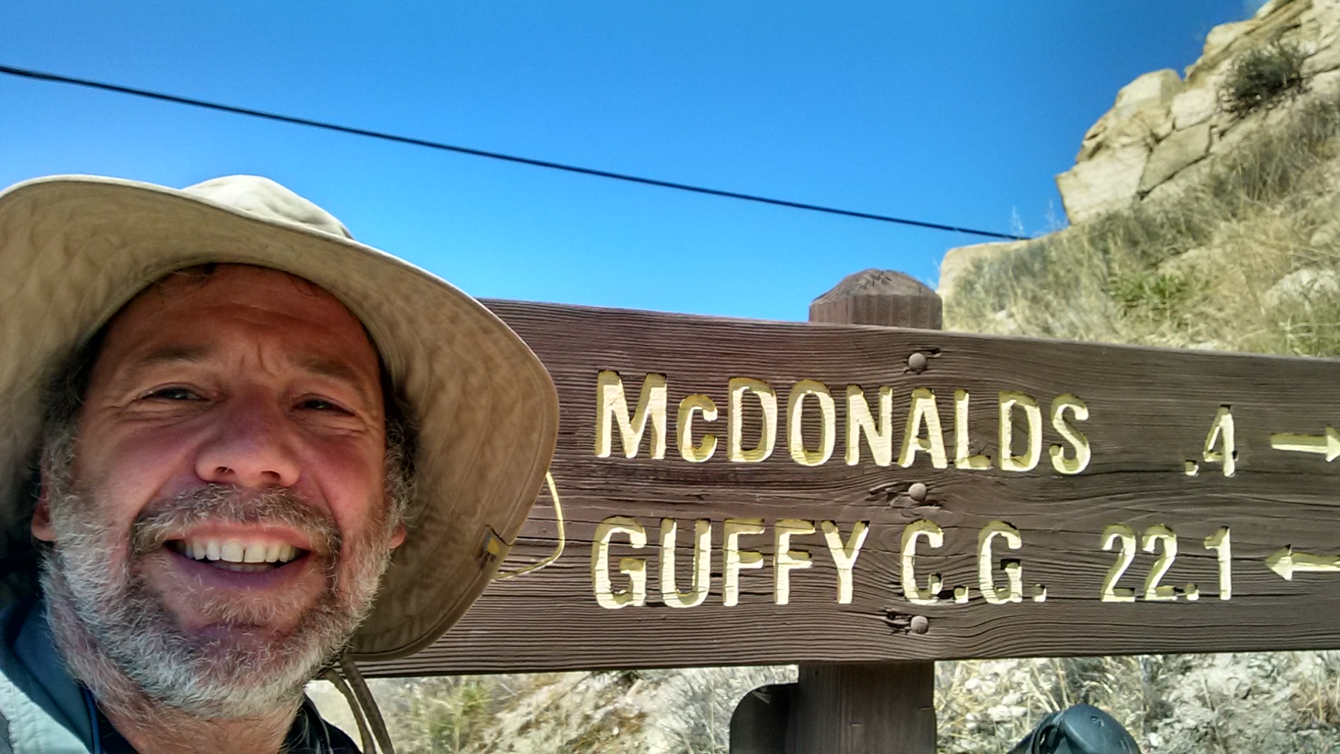
Today I am headed to the Cajon Pass. According to a thru-hiker named Dish Cloth, something like 70% of all freight train traffic passes through this pass. It has to do with imports from Asia coming through ports in Los Angeles and Long Beach. As interesting as that is, it is not the reason thru-hikers are obsessed with Cajon. It is because there is a McDonalds right next to the trail.

Some hikers speed up or slow down in order to hit the breakfast menu. Others target the lunch/dinner menu. Dish Cloth, however, is determined to be eating from the breakfast menu when they roll over to the lunch/dinner menu, so he can keep on going. This is the reason we pack up in the dark and hit the trail by 6:00am. There are 13 miles separating us from indigestion.

The views looking down on the pass are spectacular. The 70% traffic rings true, as there are massively long trains going in both directions, on at least four sets of tracks. With all the honking, I think I am back in India. At least I wish I were, because I prefer Indian to Mickey D’s, but you work with what you got. Dish Cloth and several others are way ahead of me. I’d like to think the menu pulls them stronger, but in reality they are both younger and stronger.

Micky D's
Mickey D’s

When I arrive, Dish Cloth is finishing breakfast and starting lunch. After three sandwiches and a McFlurry, I go under Highway 15, and climb 10 more miles towards Wrightwood. On the way I hear from Terri that Brian and Bri are driving to Pleasanton to work on their game plan. Mine is clear. I keep walking. I never find a decent flat spot, so I drop right next to the trail. I hope night hikers do not step on me. I try to sleep, but the sound of the trains is constant.

Under Highway 15
Under Highway 15

Day 23 – Silverwood Lake

Mile 308 to 329

Both my son Daniel and wife Terri mention that perhaps more than a couple of people are reading this blog. First I feel terrible that so many people don’t have cable. Then I feel even worse because I do not include a sports section or a crossword puzzle. I have, however, tried to provide entertaining word searches by randomly inserting spelling mistakes, punctuation errors, and grammatical crimes against humanity. I may even preposition the end of a sentence with.

Deep Canyon Mouth
Deep Canyon Mouth

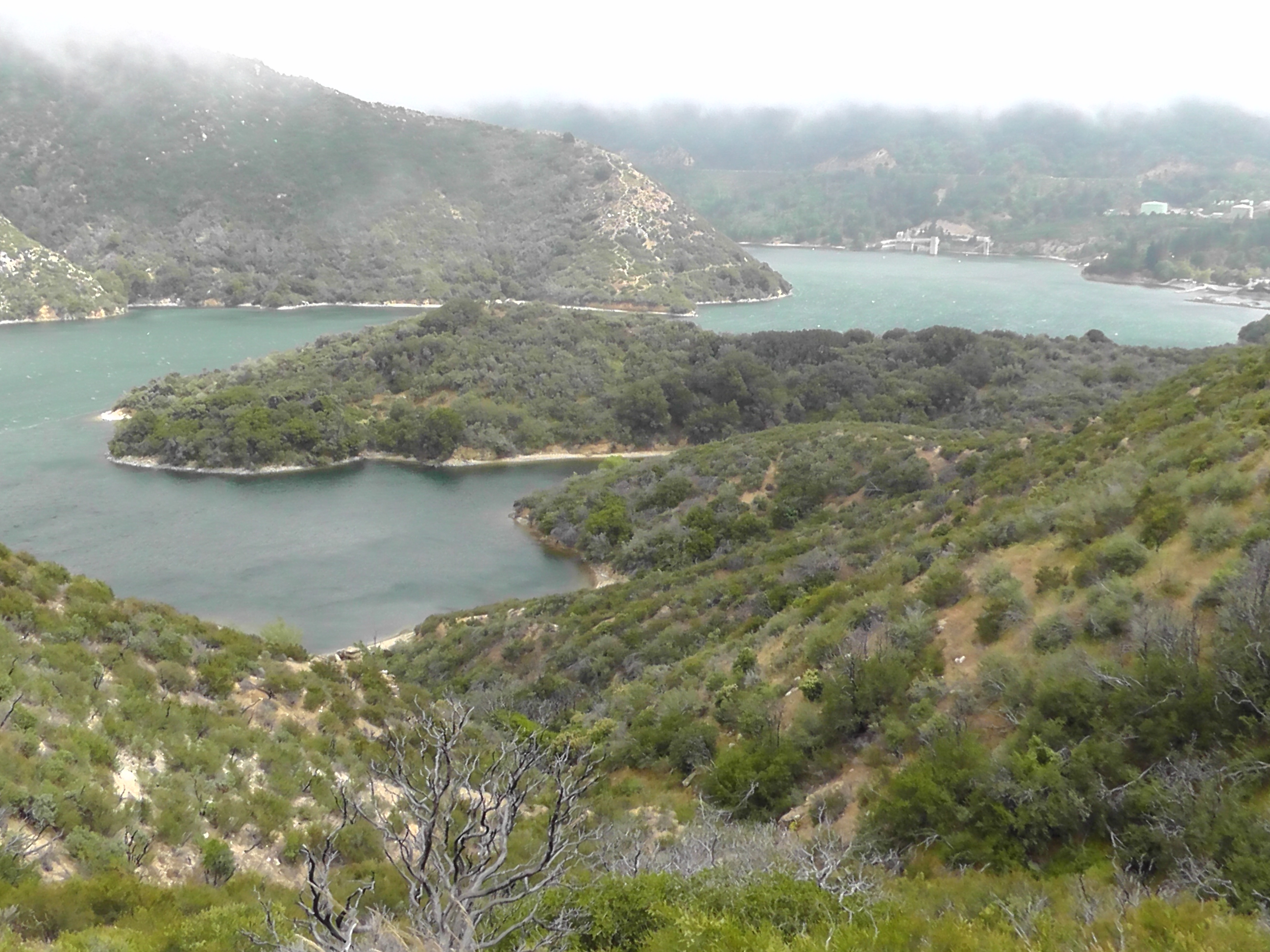
Today I continued my hike out of Deep Creek canyon. The closer I get to the canyon mouth, the closer I get to a hardware store with an amazing sale on spray paint. At least it seems so based on the quantity and quality of LA gangsta graffiti. It is nice to know the inner city folks spend so much time in the wilderness. Past the Mojave spillway, I begin an amazingly beautiful lap around Silverwood Lake. It is windy, cold, and raining off and on, which is frankly preferred to the normal blazing desert sun.

As I walk, I have a vague recollection from my pathetic public education, about a poem that proclaims that so much depends on the red wheelbarrow. My wheelbarrow is green, has a flat tire and two broken handles. I am pretty sure not much is depending on my wheelbarrow. I do, however, like the sentiment but believe it requires a modernizing update. I believe so much more depends on the charged lithium battery. You can use that one if you like, even without proper attribution.

I need charged lithium batteries for my camera, my Ipod Nano, and my smart phone which includes maps, GPS, email, texting, and oh yeah, occasional smart phone phoning. So much depending do I do, that I carry an external lithium battery to recharge my rechargeable lithium batteries.

My Spot beacon, which sends my tracking location to satellites, requires charged non-rechargable lithium batteries. So I have to carry extras. Green lights flashing indicate the device is working, red lights flashing indicate the batteries are failing, and no lights flashing indicate just how much depends on a charged lithium battery. With the Spot hanging on the back of my pack, it is impossible for me to see the lights. It is also annoying, and perhaps frighting, when I approach a hiker to ask “Is my hanging thing flashing?” Today at a rest break I noticed a total lack of flashing. Bummer. That means those of you tracking my location may have been concerned. Perhaps both of you. Rest assured, on this trail it is far more likely to come upon a dead lithium battery than a dead hiker. Probably like twice as likely.

I have determined that the primary reason thru-hiker’s hike is to get to a wall outlet to recharge their lithium batteries. It turns out, so much depends on the wall outlet.

Silverwood Lake
Silverwood Lake

Day 22 – Hot Springs

Mile 285 to 308

You have probably seen a movie trailer or a Twilight Zone where a creepy hitchhiker appears at the side of the road. The driver notices, but keeps driving. A few miles later this same hitchhiker appears again. And again and again, until the driver is totally freaked out. It is happening to me.
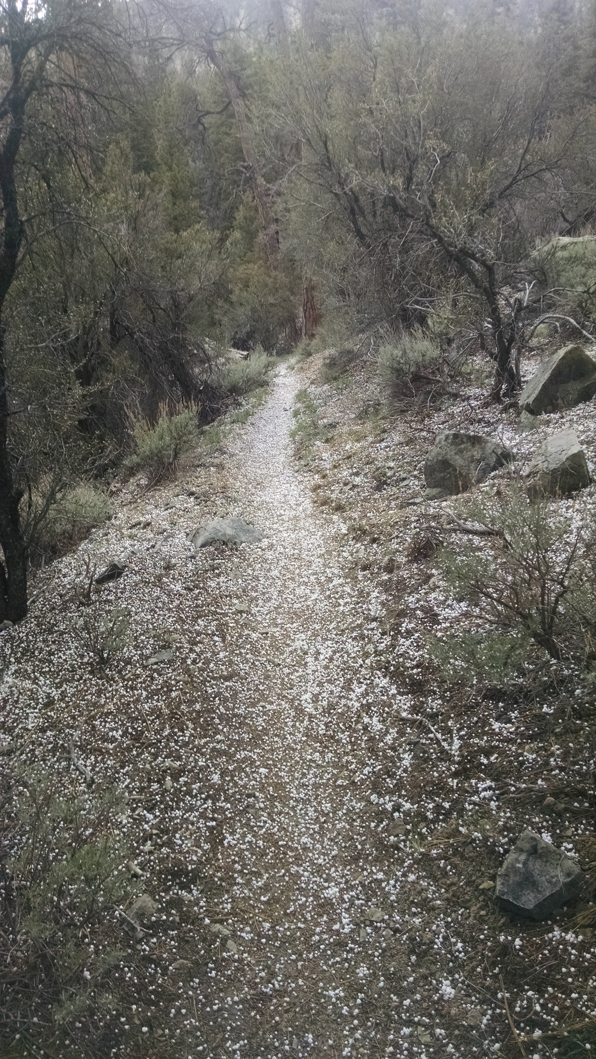
Yesterday I hiked in the snow. There were no footprints in front of me. Then suddenly footprints. They were clearly fresh, but there was no joining trail. Where did they come from? I followed the mysterious footprints for miles, and eventually caught up to a elf like boy and a girl. I asked where they came from, and elf-boy non-answered coyly. The girl said nothing. I raced ahead leaving them in my snow dust. I had not seen them for hours, and that was fine by me. When I finally arrived at camp, there was a corral, a picnic table and a solar toilet, which I used quickly and efficiently. When I exited the facilities, there was the elf couple, sitting at the table waving mockingly as they claimed the site. Resigned, I pushed on to find a flat dirt spot by the trail.

Today I leave camp before anyone else. As I go, I look back and see a tent by the picnic table. Damn elves. After hiking several hours, I turn the corner, and sitting on a log is the elf-boy and the girl. The elf-boy is actually smoking a pipe. Startled I ask how did you get ahead of me? He smiles and says they did a little night hiking.

Hot Springs
Hot Springs

The rest of the day I hike along Deep Creek, which is spectacular, with no shortage of cascades and pools that Brian would love to swim in. I can’t help looking over my shoulder for elf-boy, but I realize how ridiculous I am being. Clearly he is ahead of me, I just don’t know how.

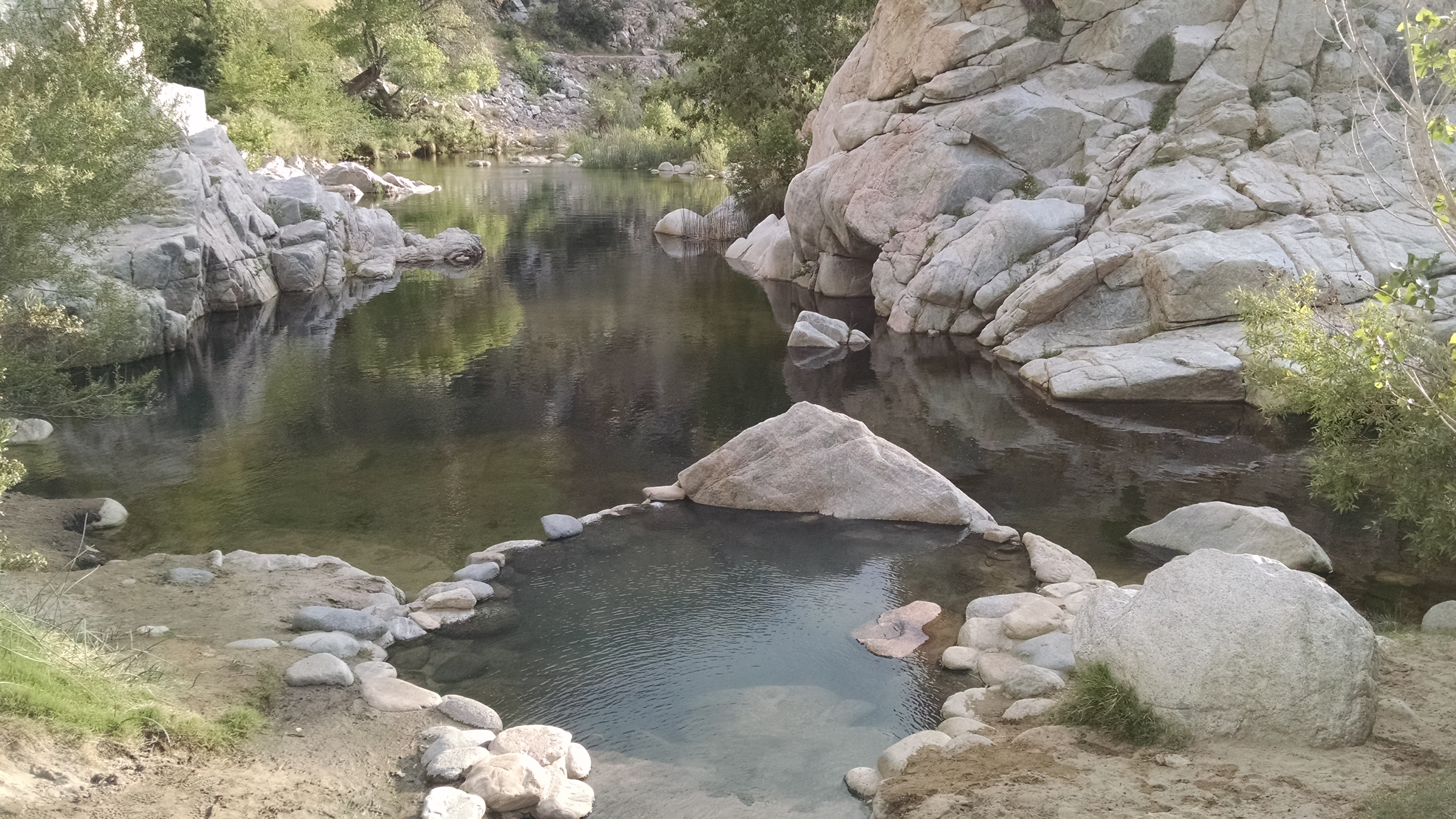
I arrive at the natural hot springs. They are beautiful. They are also clearly the hippie magnet of the PCT. Clothing is optional, and not enough are picking that option. The elf is surely here, I just don’t recognize him without his elf outfit. Right now, as I finish writing this, there is a debate raging between some of the campers. Should we hotbox in my tent or yours? As much as I love a good debate, I am not a participating in this one.

Day 21 – Oh Hail Yes

Mile 266 to 285

Trail Hail
Trail Hail

I rearrange my backpack so the tent is not at the bottom, but in a plastic bag on the side. There is an 80% chance of precipitation, and I do not want to dump my dry stuff in the freezing rain to get to the tent. I shower, have a non Pop-Tart breakfast, hug my parents goodbye and bum a ride back to the trailhead from Susan.

It is sunny for the first part of the day, which gives me a nice jump start on miles. That turns fairly suddenly to a lightning, thundering, hail storm.  Each flash and crack makes me question the wisdom of carrying two metal trekking poles. I reassure myself with mental observations such as: “That bush seems taller than me, I am probably fine.” The hail turns to snow, and it is accumulating. I can still generally make out the trail, only having to backtrack a couple of times. Occasionally the clouds lift, and I enjoy spectacular views of Big Bear Lake.

After 19 miles of storm walking, I arrive at camp. It is raining very lightly as I setup my tent and toss everything I possess inside.

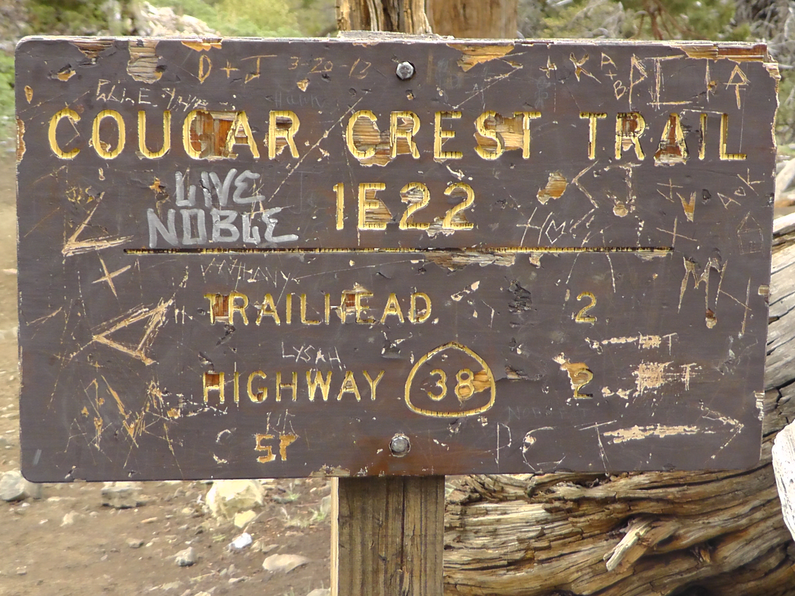
Cougar Crest
Cougar Crest

Day 20 – Zero

Zero Miles: Running Springs

I am fairly certain it was the Indians who first conceived of the zero. Or perhaps the Chinese. Or maybe the Greeks. The point is not that my knowledge of ancient history is completely lacking. The point is that I recognize and appreciate a good zero. And today is going to be a great zero.

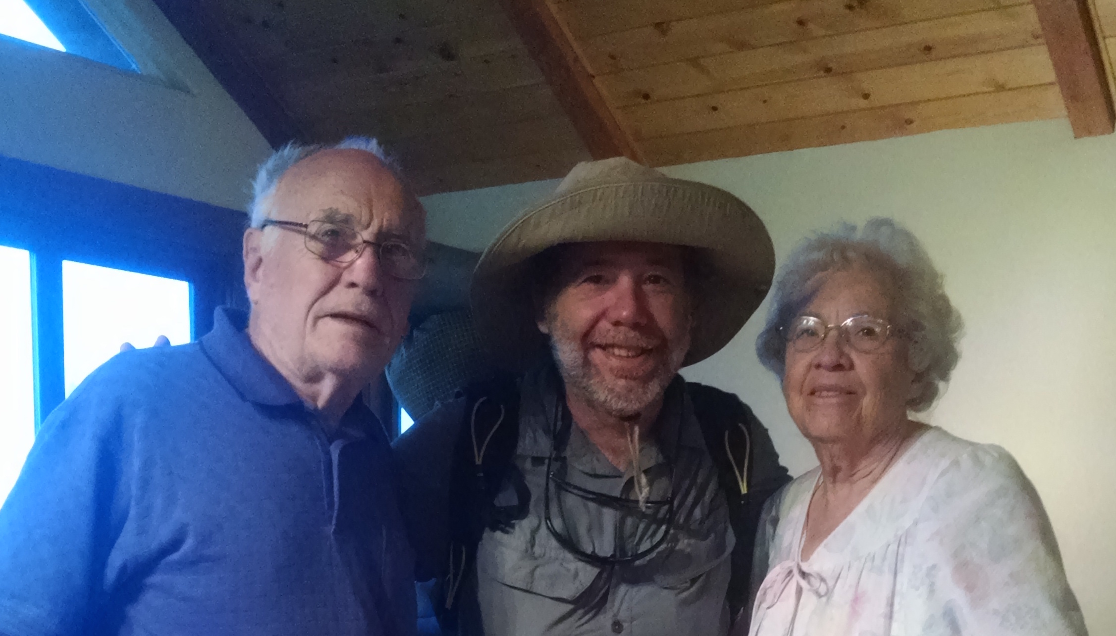
I have seen my parents rebuilt-after-the-tragic-fire cabin, but I had never actually slept in the place. Last night was pretty good. I may have to sleep in this bed again, just to be sure. The thought of spending an entire lazy day with my parents and sister is very appealing. That plus trying to avoid at least one more night out in the forecasted freezing rain.
My Parents
My Parents

My parents continue to stuff and stuff me with protein and fatty foods.  Eggs, sausage, bacon, cheese, steak, ice cream and more. I remember that the California courts have overturned the anti foie gras laws, and I am beginning to wonder if these are related.

The feeders on the deck attract an incredible quantity and variety of birds. With no exaggeration, in less than 30 minutes the following make appearances: scrub jay, Sheller’s jay, grosbeak, mountain bluebird, junco, finch, chickadee, nuthatch, flicker, acorn woodpecker, ringneck pigeon, and dove. Frankly, if a pterodactyl had landed on the railing, I would not have been the least bit surprised.

All the birds are free to partake in the seed and suet, but for some strange reason one bird clearly experiences favoritism. My mother stands, shelled peanut in hand, with the sliding door part way open. She is waiting for the scrub jay.  When he arrives, she waits patiently until he is in position. She tosses the peanut such that he has total advantage. The Shellers jays and acorn woodpeckers lunge in vain. They squawk with pained envy, as if Joseph has just received yet another multicolored coat to wear. Why my mother displays this bizarre favoritism is never explained. Susan and I are beginning to understand why older brother Rob likes peanut brittle so much.
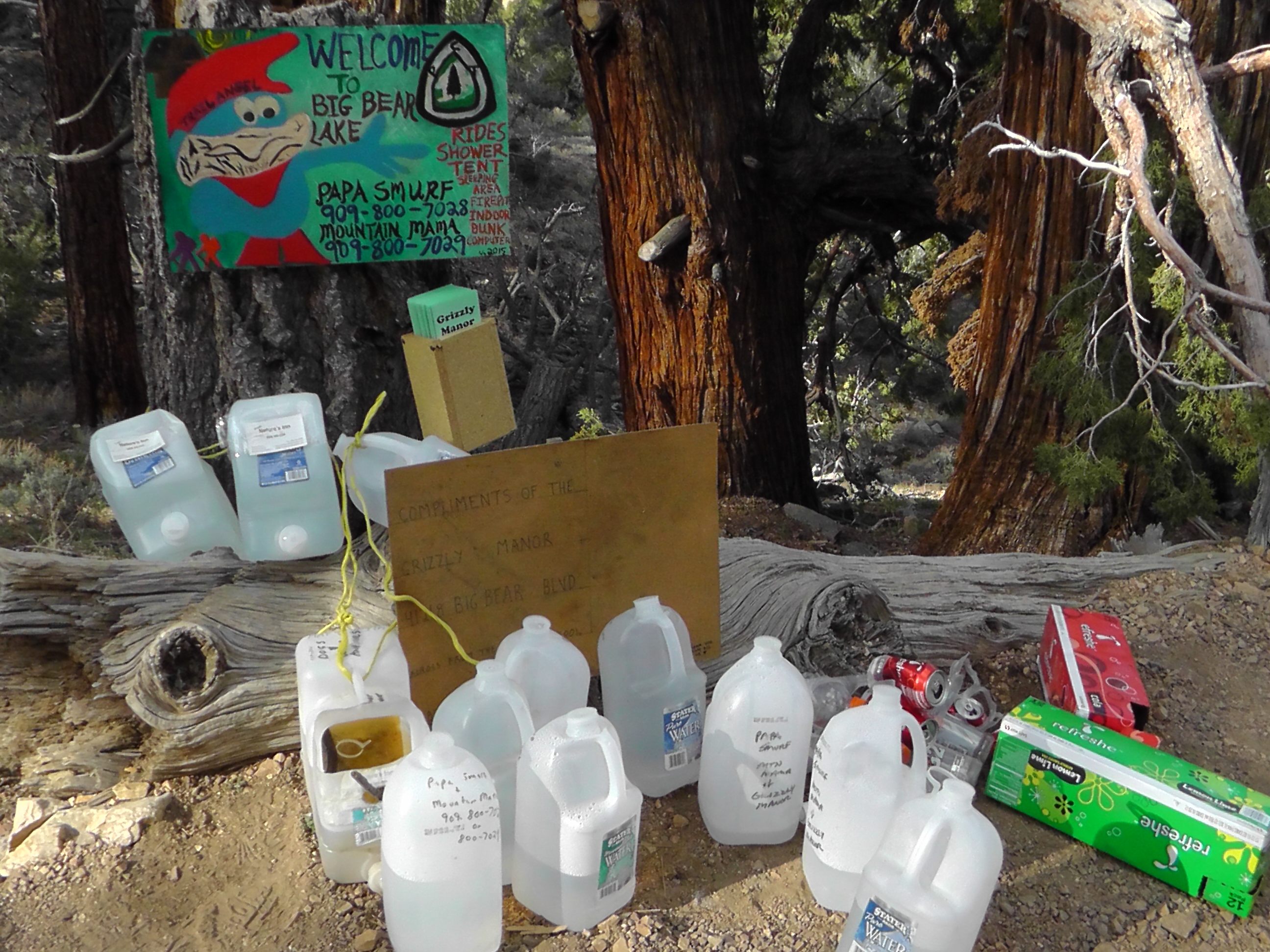
Susan picks up a voicemail from Brian. Bri is somehow in Murrieta, and Brian is pushing up to Big Bear alone, doing 25 miles in his first day. Bri will have a car and be picking up Brian at Highway 18. He is calling to ask if they can get a key to the cabin, presumably to relax and come up with yet another strategy. Whatever it is, it is none of my business. Tomorrow Susan will drive me back to Highway 18, to push on north.
Day 19 – Running Springs

Mile 248 to 266

Take Me Home?
Take Me Home?

I wake at 2:00 am. freezing. The forecast was in the high 20s, and I am feeling it. A backpacker’s stomach is like a furnace, you need to stoke it with calories to keep it warm. I reach instinctively under my head for a Snickers log, only to realize the Ursack is tied to a tree. Damn that bear!

I lie there knowing exactly what I have to do, but dreading all that is involved. I need to find a flashlight. I cannot untie the knot without one. I will have to take off my gloves for the same reason. I need to find my shoes. I need to get out of the sleeping bag. If I get up I am going to pee, because I am not getting up again. I order each step in my head. I then execute my military operation with maximum efficiency, minus the normal downed Apache aircraft. Once I have the Ursack open, I even manage to gnaw a huge chunk of parmesan cheese. In the starlit night, I must have looked like Smeagol from Lord of the Rings cooing over his precious. Back in my bag I load the furnace and sleep until 5:30 am, my normal wakeup time.

While making coffee at 6:00 am, I notice a hiker walking down the trail with his wet sleeping bag draped over his shoulder. It is either a strange religious ceremony, or a futile attempt at drying. I pack up my own soaking wet bag, not knowing he is the last person I will see until I meet my sister at the highway 18 trailhead.

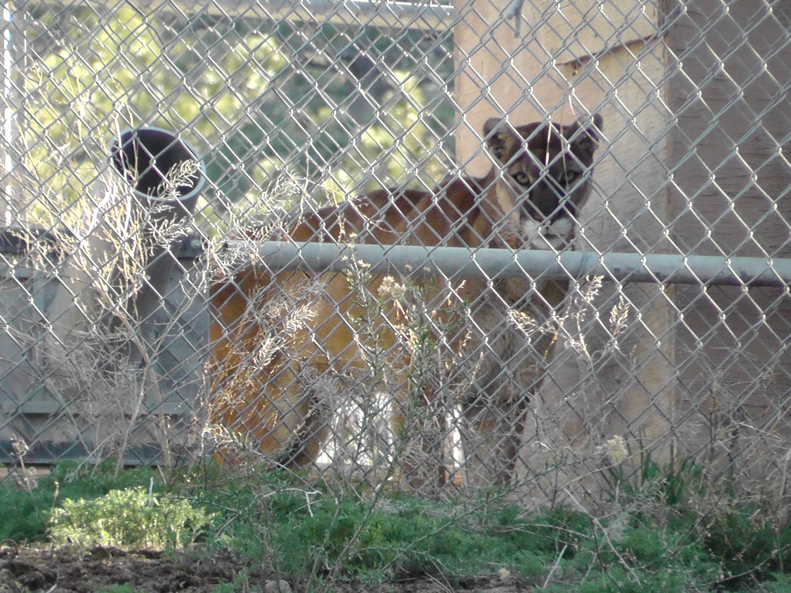
The day of walking is a blur, interrupted occasionally by trail magic caches, which offer empty boxes where soda cans once were. Torture. Speaking of torture, I pass by animal cages for retired Hollywood stars from Predators in Action. I push on to Highway 18.

Hold out your hands. Go ahead, do it. If you are like most of us you will find 10 fingers. Now wiggle one of them. That’s how much of the trail I have behind me. When the trail is 2,650 miles, 266 miles is 10%. It is amazing how much and how absolutely little 10% can seem.

At highway 18 I am greeted by my sister and a glorious Arby’s roast beef sandwich. She takes me shopping for resupplies, then whisks me to my parent’s cabin. I shower, do laundry, sort food and eat, and eat, and eat. Can you say pork tenderloin sandwich? Ice cream with sticky hot fudge? How about warm soft bed? Goodnight.

Animal Cages on PCT
Animal Cages on PCT
Empty Cache Boxes
Empty Cache Boxes
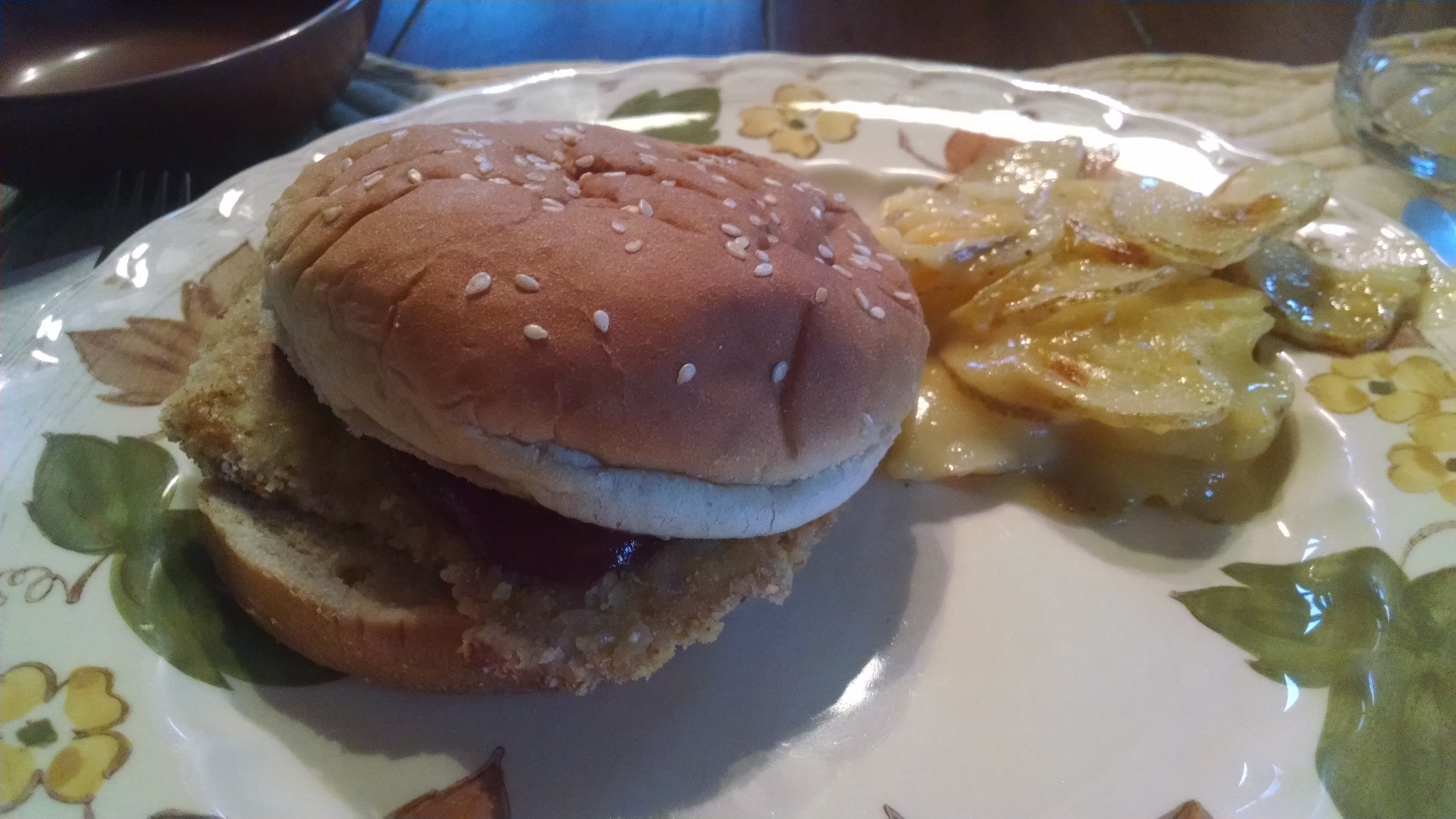
Pork Tenderloin Sandwhich

Day 18 – Magic 18

Mile 229 to 248

San Bernardino
San Bernardino

Today seems like a magic 18 day. It is day 18 of my trip and I am trying to make it to Highway 18. This requires that I average 18 miles a day. While hiking, my wife sends a text which simply says: “Yikes, 18% grade!” She occasionally tracks my location from my Spot, and calculates the elevation profile from her favorite application RidewithGPS. I am so glad she sends the text. How else would I know how much pain I am in? I look down and think my waistline is nearing 18, and I am pretty sure 18 is my new IQ. If only my legs felt 18.

As I approach my target campsite, I begin to notice fresh bear scat. Up to this point, I have been sleeping with my head on my Ursack food bag. Probably not a good idea in bear country. Tonight I find a tree and tie off my bear proof bag. Even if the bear cannot open the Ursack, I cannot really afford for him to carry it off. He probably doesn’t want my crummy food, but he could get $60 for the sack on EBay. I fall asleep knowing I have outsmarted a greedy bear.

Poodle Dog Bush
Poodle Dog Bush
Trail Heart Art
Trail Heart Art

Day 17 – Out of the Abyss

Mile 210 to 229

Trail Up
Trail Up

I get up before the sun and start to make instant coffee in the dark. When you are unsure if you have shaken in enough, and hear yourself saying too much is probably better than too little, stop! Or like me, you will end up putting in an entire weeks worth. Trust me, this coffee concentrate will NOT end up as a happy chapter in the book Mistakes That Worked. Ziggy turns on the patio lights and announces she has made coffee and poured orange juice for us. The day is looking up already.

My sister Susan and I play cell phone tag, trying to arrange a little Trail Angel “pick-me-up” at Highway 18. I think she is competing with her husband Mike, who took care of us in Anza. If it works out, I will end up seeing my parents who have a cabin in nearby Running Springs.

Today I get to test my legs on the uphill. My resupply is Big Bear, so in 56 miles I need to go from the desert floor at around 2000 feet, to the San Bernardino Mountains around 9000 feet. There is also a storm threatening in a few days and I prefer to be in a warm bed in Running Springs when it arrives.

It turns out this section has gotten extremely more difficult than in 2013, at least according to the failing memory of the young guy at Ziggy’s who told me it was a “piece of cake”. Even the snakes seem to be struggling up the trail.

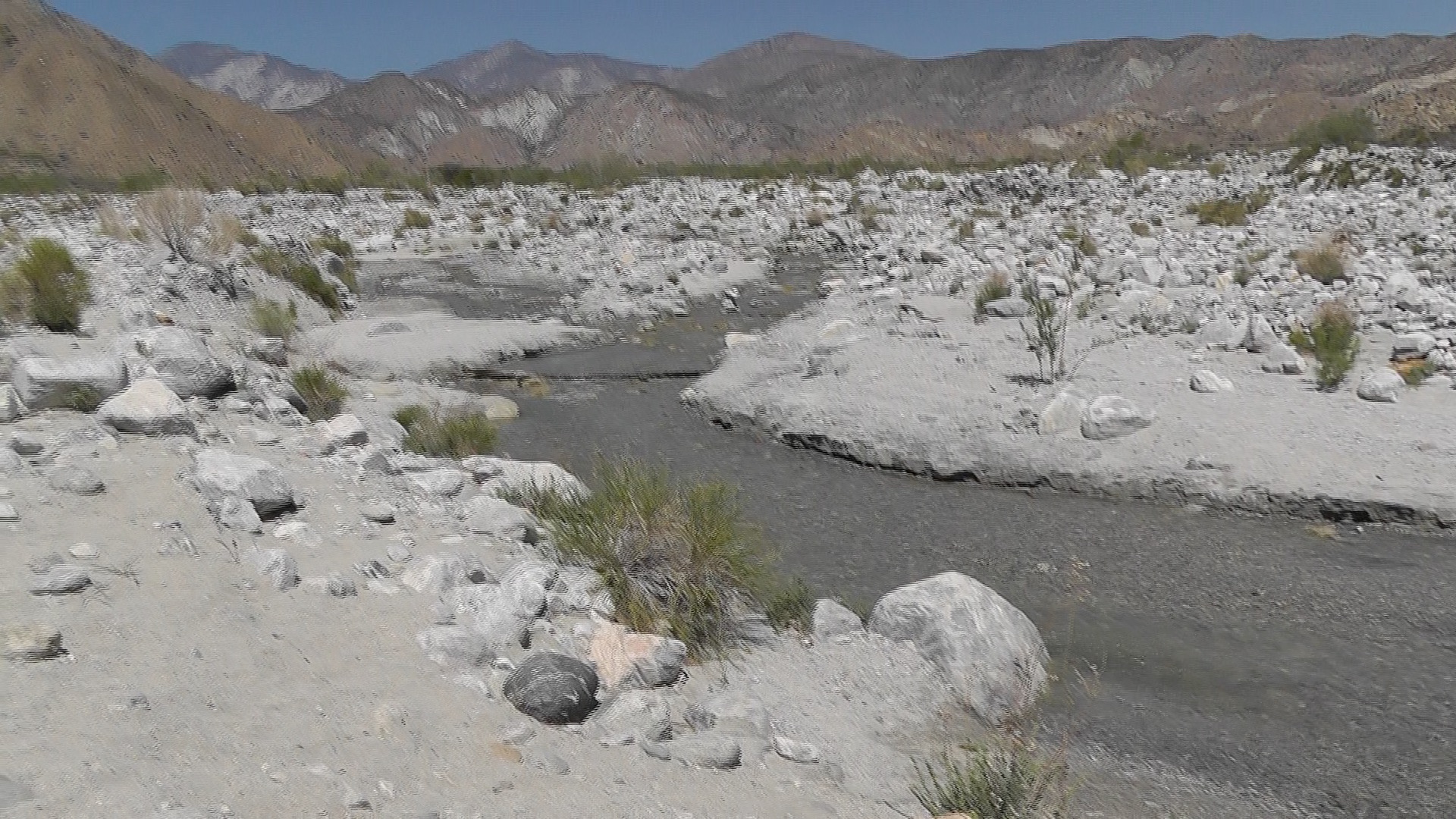
I encounter my first significant water at Whitewater River. Although not enough to run a kayak down, it is enough to soak my feet in and filter to drink, but preferably not in that order.

Eventually I drop not far from a campsite set up by a trail maintenance crew. All I have managed to do is walk and I am totally exhausted. They, however, after slaving all day with picks and shovels in the sun, are laughing and playing Frisbee. I curse their youth and fall asleep.

Whitewater River
Whitewater River
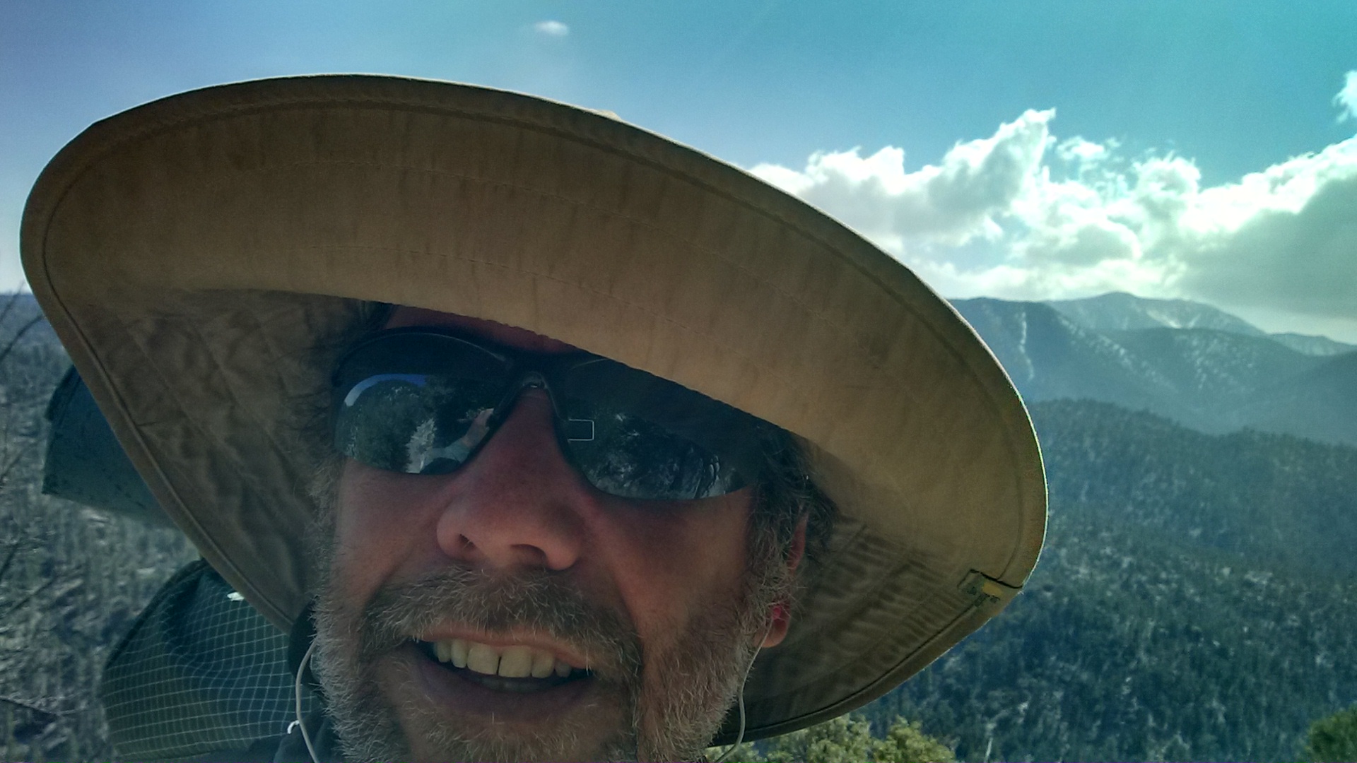
Selfie
Selfie