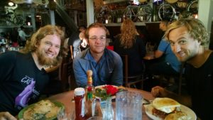
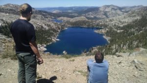
We wake with simple goals for the day: resupply and rest. We start by walking to a breakfast cafe at 7:00am, only to discover it opens at 7:30am. We head back to the Inn to sort our supplies, make shopping lists, and stall. We return to the cafe and stuff ourselves with various egg dishes.
We keep up our miles by wandering the aisles of Safeway and CVS. It takes more trips than it should, but we finally get it done.
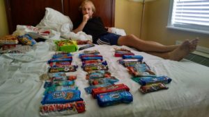
Thru hiking nutrition
We wander through town people watching and killing time. Brian swims again, and we take our sweet time packing.
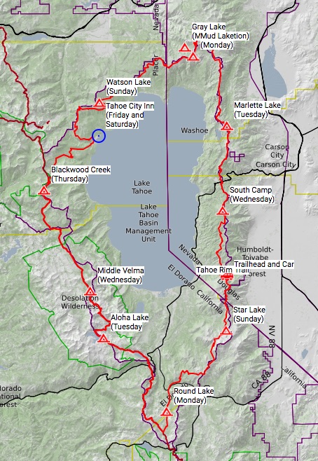
Tomorrow will be a 14 mile waterless trek up to Watson Lake.
Around 3:00am I hear scurrying around my tent. I assume it is a nocturnal rodent, but find my headlamp to rule out raccoons or bears. I see nothing, but take the opportunity to pee, before climbing back under my quilt. The noise returns, and I repeat the headlamp scan. Nothing. Later, I hear the noise right next to my head. This time I can see something next to the mesh above my bathtub floor lining. I push through the sidewall and flick the intruder, who turns out to be a very large toad. I am pretty sure I have never been woken up by a toad, and am glad to have that now crossed off my list.
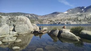
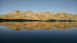
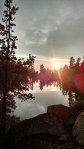
Reflecting lake?
I wake for good before 5:00am and begin packing up in the dawning light. Daniel appears, and we heat water for coffee and oatmeal. Well Daniel has oatmeal. I instead gnaw on a massive sugar grease bomb know as a honey bun.
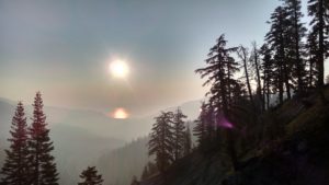
We are on the trail close to 6:30am. The vortex of a city is sucking us in. Like gravity, the closer we get the harder it pulls. Our elevation profile has some up, but mostly down. The fire haze obstructs our view, but not our forward progress.
TRT/PCT split
We have seen several boy scout troops wearing Philmont shirts. After inquiry, we are told the classic scout adventure land has been closed due to their own fires and threats of fire. It seems a Tahoe Rim Trail permit is the fall back strategy for quite a few Philmont bound troops.
In one encounter with a troop going the opposite direction, we are warned of a bridge construction re-route. The last few miles to town are growing by another and we are frankly not too happy about it. On the way we pass a camp for tree climbers and zip liners, where children scream at pitches upsetting to dogs, and reminiscent of what our burning calves are telling us.
Later we reach the Truckee River in time to be tormented by splashing rafters and tubers, who seem to be enjoying this moment more than we. I do find sick humor in a tiny toddler on the shore, who keeps pushing his face into the river and drinking like a dog. I gently point out to Mom that even trail trash like us filter before drinking. Mom smiles, shrugs, and says, “I don’t know how to make him stop.”
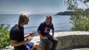
The draw of milkshakes pulls us into town, where we indulge with no more grace than the river drinking boy. Next we stroll to the crowded shore of Lake Tahoe. Dropping our packs, and kicking off our shoes, we stroll fully clothed into the baptismal water. We are born again.
We find and check into the divey Tahoe City Inn, where we shower and start the laundry process. When you need to wash everything you own, it does not leave much to wear to the laundromat. Daniel and I walk through town, dragging a giant plastic bag of hazardous clothing materials, in our long underwear and rain jackets. It is surprising how many people make brief eye contact and say nothing.
For dinner we head to a Mexican restaurant overlooking the lake. The smoke gives a slight reprieve, and we can actually see the mountains on the other side. Knowing we have to climb them on the second half decreases our pleasure just slightly.
We fall asleep early. Tomorrow we will sort gear, buy resupplies, and rest.
We wake before the sun, and make coffee and granola with powdered milk. We pack and re-find the trail by 6:30am. The boys seem to be hitting their literal stride. We are keeping a good 2.5 mile per hour pace. Daniel, however is starting to feel chaffing on his hip. He tapes it, and never slows down, but is clearly feeling some pain.
We cruise past the tree-lined Richardson Lake without even pausing. We have either become completely jaded by beauty, or we are simply on a mission to get in our 17 miles. We do however stop for a trailside lunch at the outlet stream of Bear Lake. With no lakes to swim in on this leg, we settle for setting our bums in the creek. It is surprisingly good.
Blackwood Creek Camp
We hump it up to Barker Pass trailhead, where we find a parking lot with a pit toilet. Daniel is having a better than normal success in this department.
We arrive at camp early, but ready to be done. We set up, filter water, and cook up bean burritos with the last of the Fritos. Brian is exhausted, and falls asleep without having dinner. Perhaps he is saving himself for Tahoe City tomorrow. However, there are about 14 miles of trail between us and civilization.
Daniel forgets today is granola and powered milk day, and instead digs into the cinnamon Pop-Tarts. Oh well, nothing a Via coffee can’t wash down.
Our tents are moisture free, so we do not need a drying stop. In fact, with all these alpine lakes, we hope to stop and do the opposite with our clothes and bodies. We make our way along the island-dotted Aloha Lake, back dropped with a spectacular snow sprinkled granite wall.
Looking back towards Aloha Lake
We turn and skirt along the trail ledge of Heather Lake. Daniel and I admire a monster trout, while Brian curses the monstrous mess of loose rocks on the tread. By the time we reach Susie Lake, we are hot enough to get in. The salts and crud melt off our caked bodies. It is wonderful.
Swimming in Susie Lake
Our biggest challenge today, other than remembering to stop swimming and start walking, is Dick’s Pass. The pass is slightly under 9,400 feet, and we are significantly under that at around 7,800 feet.
At 1.2 miles below the summit we meet a woman struggling mightily. We chat briefly. She mentions that her two daughters are ahead, and their goal is the same as ours, Middle Velma Lake. We offer words of encouragement, yet walk away pretty sure we will not be seeing her at the lake.
Dick’s Lake from Dick’s Pass
We take our own snack and water breaks, but reach the vista overlook of Dick’s Lake in time for a lunch of powered hummus, cheese, and sun dried tomatoes on tortillas. Even after our long lunch, the woman behind us never crests the ridge. Will she ever catch up with her daughters?
We press up and over the summit and set our next swim target – Fontanillis Lake. The trail down from Dick’s Pass is mostly packed dirt, which is like shag carpeting when compared to the loose rock on the upside. We reach the lake and repeat our rinse cycle. Swimming, even briefly, cleans the body and the soul.
Swimming in Fontanillis Lake
We push on a few more miles to Middle Velma Lake. We meet the two daughters of the missing woman. They have come to meet us, thinking my floppy brimmed hat looks like their mother’s. The boys find that mix-up quite amusing. The best we can offer the girls is that their mother was alive, if not doing well, sometime before lunch. They seem less concerned than the situation warrants.
For dinner, Daniel and I share instant mashed potatoes, with Thai tuna, and a sprinkling of Fritos corn chips. I am not sure you will want to try this at home, but out here they’re great!
Tomorrow will be a longer day of 18 miles, targeting North Fork Blackwood Creek. It will be our first non-lake stop on this circle the lake trip.
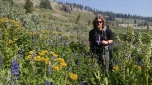
The morning spares us additional rain, but leaves us again packing soaking wet gear. After a quick breakfast, we stroll through miles of wildflowers, which vary from knee high to slightly over the shoulder.
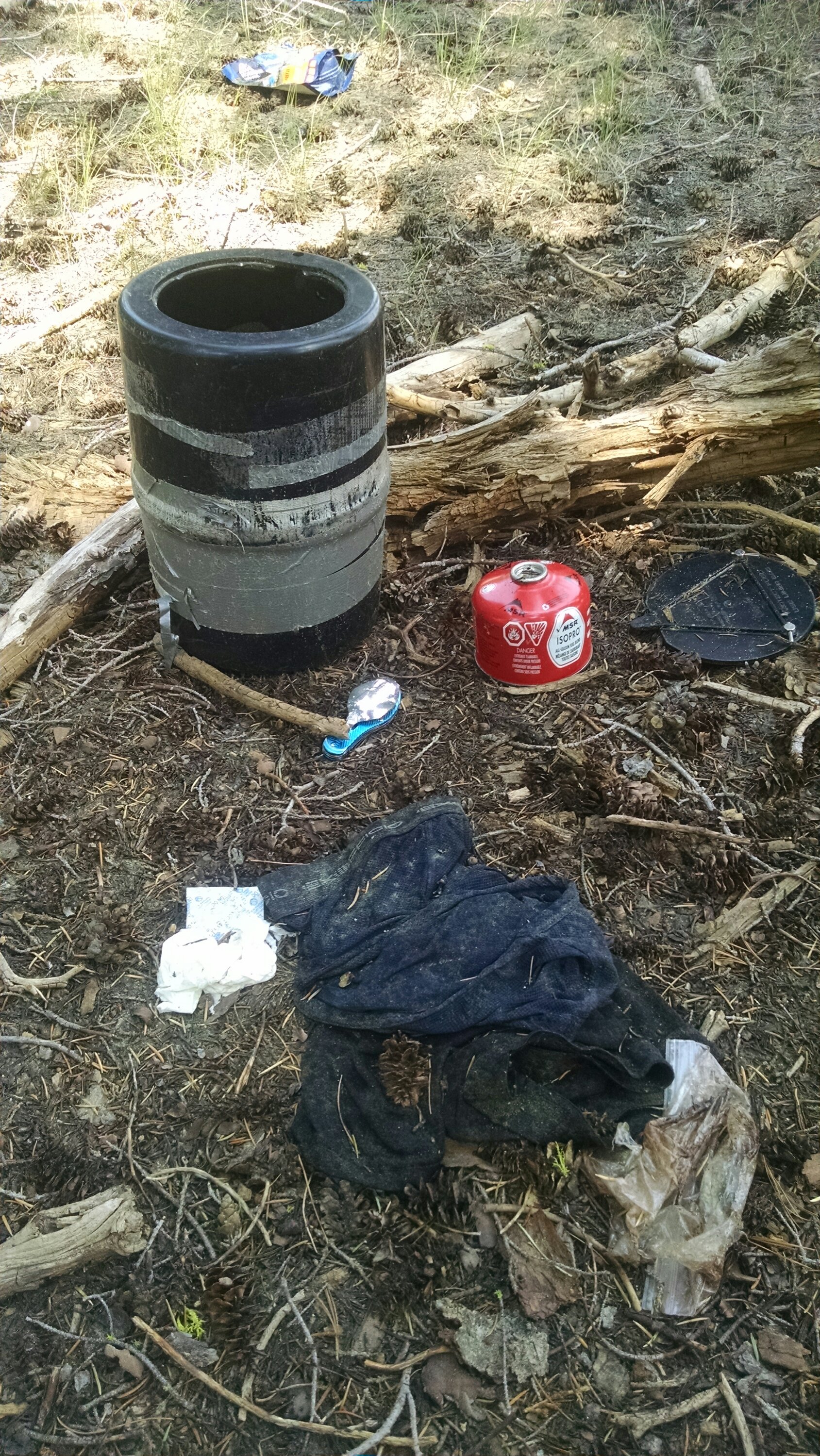
The terrain turns rocky and drier. For lunch we target a guidebook identified reliable stream. We refill water, and spread out gear to dry. While Kevin works on his blisters, I search for a private place to dig a cat hole. What I discover, however, feels more like a crime scene. I find an empty Garcia bear canister, a fuel canister, a swiss-like army knife with spoon and fork attachments, 2 pairs of Exofficio underwear, and a ripped open Mountain House meal pack. Very strange. I snap a picture and hope my phone will not become part of the state’s evidence.
Crime scene?
We push on towards the highway and Echo Lake. At the Echo Chalet we indulge in hand scooped milkshakes, including mango, mango with peaches, and vanilla malt.
There is no public water available at the Echo marina, so Daniel finds a place to capture and filter water from the lake spillway. We do our best to ignore how disgusting the water appears just above it. Our 21.5 mile day is not getting any shorter, so we press on towards Aloha Lake.
Echo Lake milkshakes
The trail is annoyingly rocky but flat along and above the shore of Echo Lake. This is a no camping zone, which makes sense as we hike past lot after lot of water only accessible cabins and homes.
After the water taxi trail split, our path steepens and becomes even more rocky. Kevin is struggling with hip pain. His stretches and twists release incredible cracking and pops, but no actual pain relief. Advil and will power are all we have to get him to the summit.
The trek from the summit to the lake is longer than expected. We arrive at 8:00pm, barely beating the settings sun. We pitch tents and make bean burritos in the dark.
Tomorrow will be a much shorter day, only about 12 miles. We hope to have time to relax and enjoy the plentiful alpine lakes.
I wake to pee in the night and find a crystal-clear star-filled sky. The threat of more rain seems over, but the damage is done. Everything is soaking wet. Inside the tent condensation and contact seepage has significantly moistened my 20 degree down quilt.
We are a tad slow getting around, hoping in vain that our gear will magically dry. Alas, we pack up wet, and head out by 7:30am. We hope to dry things later before the predicted rains return.
The rain has knocked down the Yosemite fire smoke, improving our vistas. The trail becomes more rocky, or technical as mountain bikers like to say. We have plenty of time to discuss it with them, as they pass us in both directions. Kevin knew there would be plenty of mountain bikers, but seems surprised at just how many is plenty. Most are polite and not nearly as annoying as the now threatening clouds.
We break for lunch near a trickle of water, and spread out our gear to dry. Daniel makes us salami and gouda on tortillas, as we squeeze water through our Sawyer filters. Just as our tents and bags approach relative dryness, it begins to rain. We scramble to pack up and begin walking. It rains off and on for the rest of the day.
We stop briefly at Big Meadows campground to enjoy a seated, if pitted, toilet before pressing on 3 more miles. Brian points out more than once that 18 miles is too much for our first full day. He also shares his frustration that we are camping at lakes, but arriving in the rain, and very late in the day.
Round Lake
We find a semi-flat still-kinda-wet site in the trees on the north side of Round Lake. We startle away a doe and her two spotted fawns. Brian, Daniel and I have Indian Curry and rice. Kevin keeps nibbling from his Keto filled bear canister, but claims nausea, which has me worried.
The sky appears to be clearing, and for now our gear is dry. Tomorrow will be an even longer 21.5 mile day, with more significant elevation. If our gear stays dry, I am hoping for an earlier start.
The drive from the San Francisco Bay Area to the Kingsbury Grade South trailhead will be about 3.5 hours. Daniel runs to Jim’s Cafe for takeout biscuits and gravy, and a side of potato wedges with ranch dressing. We eat, pack up, and get on the road before 7:30 am. The forecast is for significant thundershowers, and we hope to start before they start.
We stop in South Lake Tahoe for a pre-hike lunch involving two burgers, a burrito and a salad. For some strange reason the restaurant has bongo drums in the bathroom. We all take advantage of our last flushing toilet, but manage to pass on the drums.
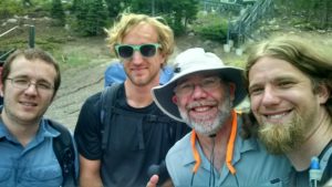
We move the car to the Kingsbury South trailhead, snap a selfie, and head up switchbacks to the actual trail. We turn left onto the TRT, and begin our 12 day clockwise loop. Today’s goal is Star Lake, nine miles ahead.
The trail seems well marked and well used. We pass a variety of day hikers with dogs, and are passed by a variety of faster mountain bikers with GoPro helmets. The views of Nevada require our imagination, given the smoke from the Yosemite fire, and the clouds from the pending thunderstorms. The thunder does eventually come and it drags behind the rain. The storm is persistent but not horrible. After a couple of minor snack breaks, we arrive at the lake and begin scouting out level ground. There are several groups of weekend backpackers, but none doing the TRT.
We pitch our tents in the rain, toss in our gear, and dive in for cover. Brian makes miso soup in his tent vestibule, while we wait out the storm. It eventually eases enough that we can
Star Lake
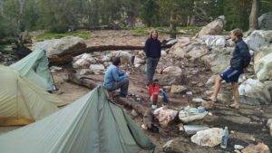
Star Lake Camp
crawl back out and make dinners. Daniel and Brian are still full from lunch.
Tomorrow our goal jumps from 9 miles to 18, ending at Round Lake. The forecast is for even more rain, but we hope having double the time will make this planned double doable.
If you Google TRT, you are as likely to find Testosterone Replacement Therapy as you are the Tahoe Rim Trail. I never considered the correlation, let alone the causation between them. But perhaps I should.
Starting tomorrow, my three sons and I will begin a 170 mile circumnavigation of the largest alpine lake in North America.
I wake in the hut early, with plenty of time to kill. We are not expecting Perry and Steve until 9:00am, and the others are still sleeping. I slink down to the water, remove most of my clothes, and swim in the surprisingly warm Powell Lake. I can feel the crystalized salts melting off my body.
For breakfast we have oatmeal and leftovers. I polish off chunks of cheese, which I chase with spoonfuls of Nutella. Later, I will become civilized.
Steve and Perry finally arrive at 9:30am. They lead us back to the car, but the rest of Steve’s group has already gone. They are now grunting up the trail to Tin Hat Hut, while we are gliding down logging roads to Powell River.
We are earlier than checkin time at the hotel, but our smiles and smells help us get enough rooms to start showers. We are re-united with Helene. She updates us on her her crazy adventures of rain, hail, mud trenches, German’s quitting, and eventually getting lost.
After showers, meals, and laundry, reality begins to set in. The weather forecast is rain for the rest of the week. Coral decides to go with her husband to visit family. Marjie wants to explore day hikes, but no more major elevation and camping in the rain. Helene, my last hope, decides she too has had enough.
Alternative plans are made, flights changed, and good-byes said.
We wake and make our way to the small porch for breakfast, trying not to wake the canoers sharing our hut. We have a quick coffee or tea, and granola with powdered coconut milk. Today is a long climb up to Tin Hat Hut.
View Part Way up Tin Hat
The rain from the day before is still on the leaves and ferns. The overgrown trail gives us the opportunity to dry the forest with our pants. A valiant effort, but a miserable failure. The good news, however, is that the abundant berries are all freshly washed and ready for consumption.
The trail takes us through clear-cut logging patches. This logging is clearly a big part of the economy and history of the Sunshine Coast, but a bit of an eyesore when walking through it. We push on fairly steadily, taking very few breaks. Our goal is to reach the summit by 1:00.
The mountain is a bit of a mystery. It is named after the tin hats worn by loggers, but the mystery for us is that you can’t see the mountain until you are right on top of it. We pass the time shouting out each kilometer marker we pass. Our goal is marker 90, which we finally reach by 12:45pm.
Tin Hat Hut from Summit
We celebrate with sausage, cheese, and Nutella on crackers, but not necessarily all at the same time. We try to orient ourselves, but are frankly overwhelmed by the number of lakes, snow capped mountains on Vancouver island, and the Strait of Georgia. Somehow, even the outhouse by the shelter looks amazing from the summit.
Knowing how far we have to go back to Fiddlehead, we release our grip on the summit, and descend. We begin counting down the KM markers. We meet quite a few people heading up to the hut – one of the canoeing couples (without their canoe), a group of 4 hikers, a man with his dog, a couple of women, then another couple of men. Clearly, it is going to be crowded on Tin Hat tonight.
As we arrive back at Fiddlehead, we begin again to consider how Perry is going to find us. Various logging roads go in various directions, but none of them to the Fiddlehead Hut. We have agreed to sit tight, assuming the car can move, but the hut seems less likely.
I rehydrate broccoli and make soup. We have a nice conversation with locals, and fall asleep wondering when Perry and Steve will get here.
It rains quite hard, not stopping until about midnight. Even cramped, we are happy to be in our island shelter. I heat water for coffee, and we mix powdered milk and granola.
Confederation Lake
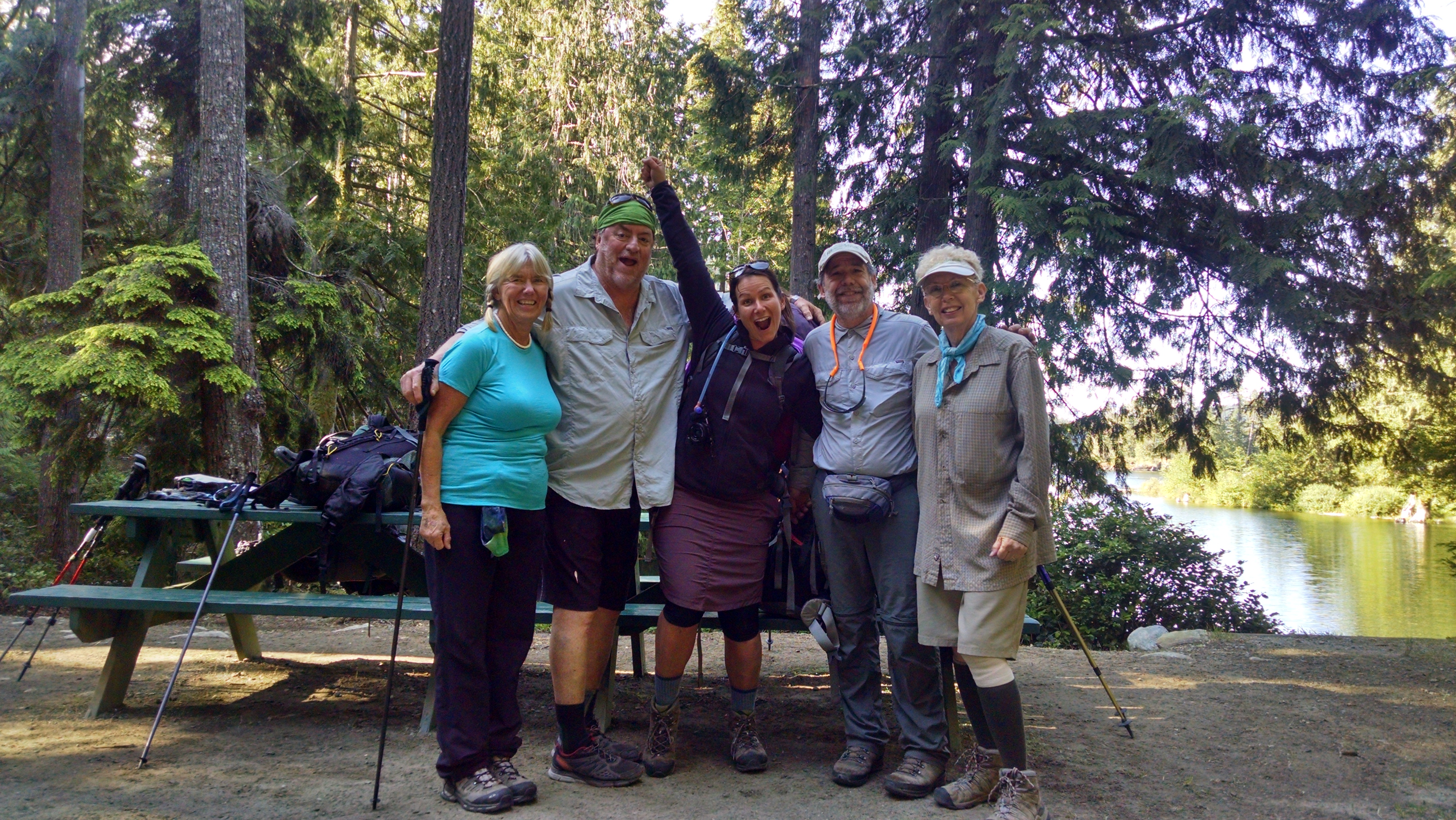
Jim announces he is tapping out. He plans to walk back to the campground and repeat the ladies miraculous cab summons. He offers to take out any extra food and trash. We take a selfie of the group, say goodbye, and begin our now three-party ascent to Confederation Lake.
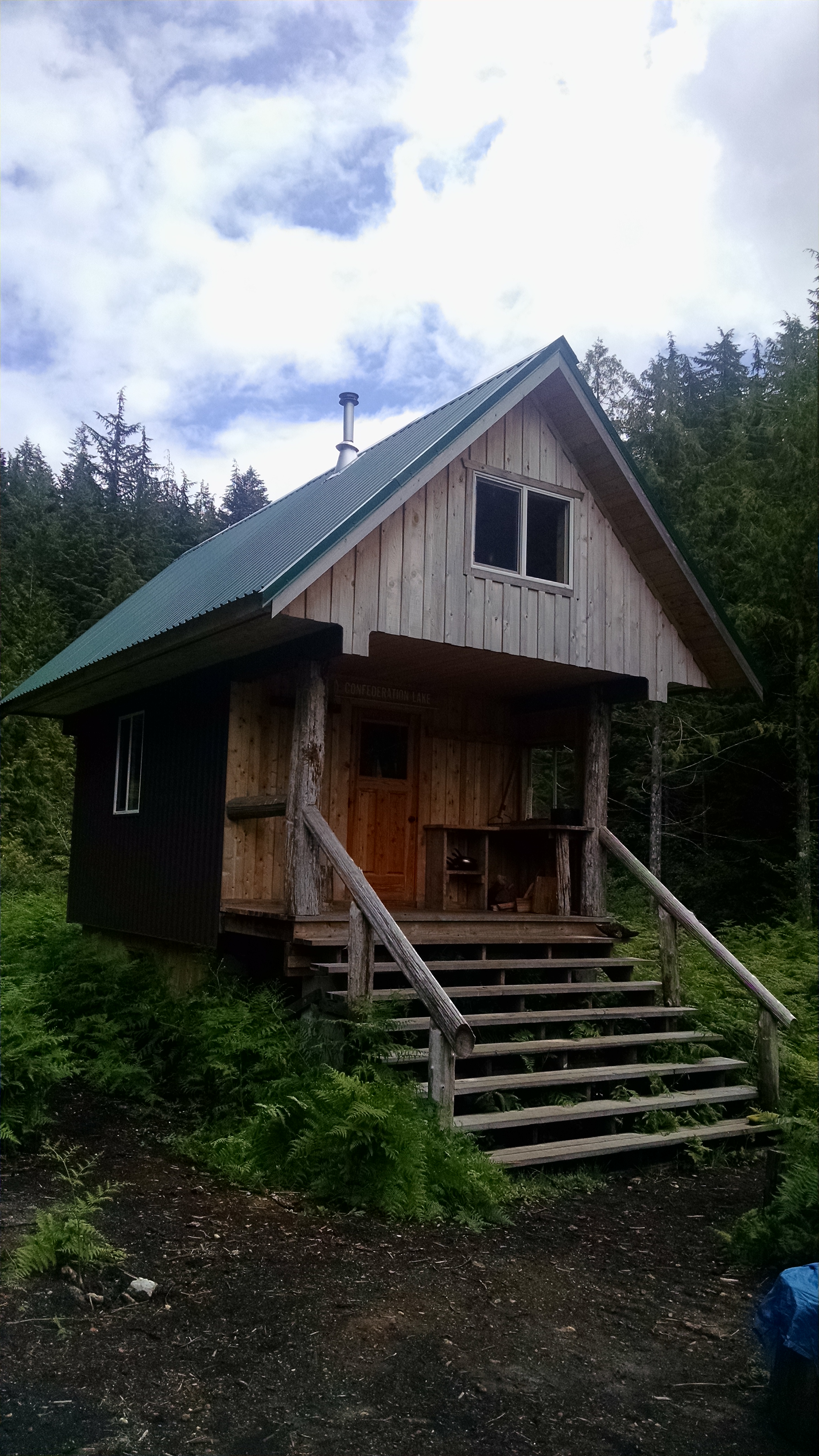
Confederation Lake Hut
The temperature is cool and the trail is relatively well graded, but steep. We make it to the Confederation Lake hut before noon. We have salami and cheese, and admire the lake, the shelter, and our speedy arrival. It is chilly and we quickly begin to cool. The ladies are eager to push on, so we load up and head for Fiddlehead.
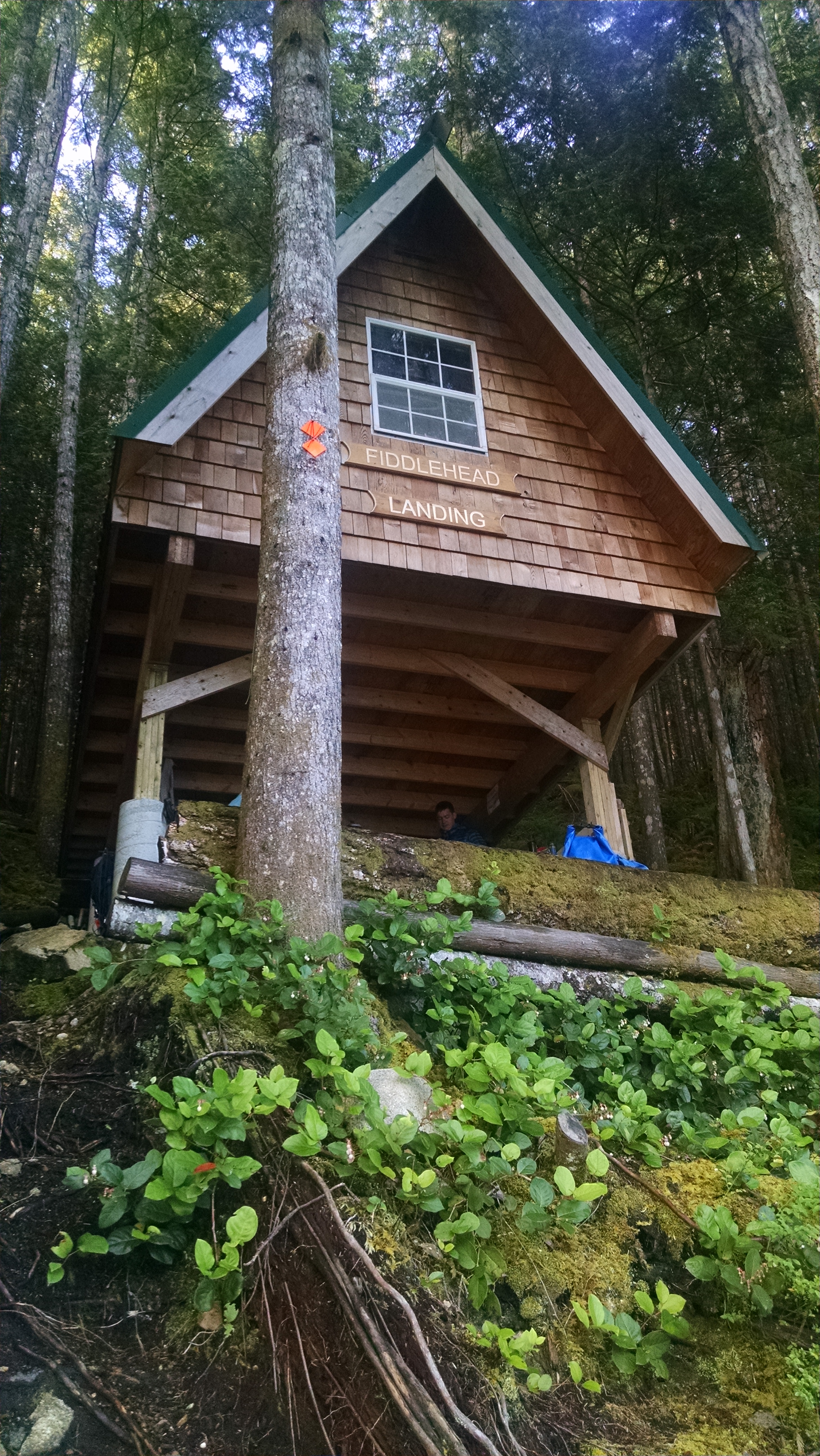
There is a surprising amount of up on this steep trail down to Fiddlehead. We chat to pass the time, arriving a little after 4:00pm. The hut seems setup for water taxi access, and the road on the map is much clearer than the road on the ground. We are not sure how Coral’s husband Perry will be able to meet us, but that is a problem for future us.
Fiddlehead Hut
We have rice with potato curry, and plan tomorrow’s up and back day-hike to Tin Hat Mountain. It is the postcard hut for the entire Sunshine Coast Trail. If we can’t bag the entire trail, we are at least going to bag that postcard.
We share the hut with a couple of best friends, and a foursome of canoers. It’s a tad crowded, but everyone is very friendly and able to share…even their snores.
We sleep until 7:00am, which is something like backpacker’s 10:00am. We have coffee and breakfast rice – a concoction of instant rice with pudding mix, cinnamon, Craisins, and slivered almonds.
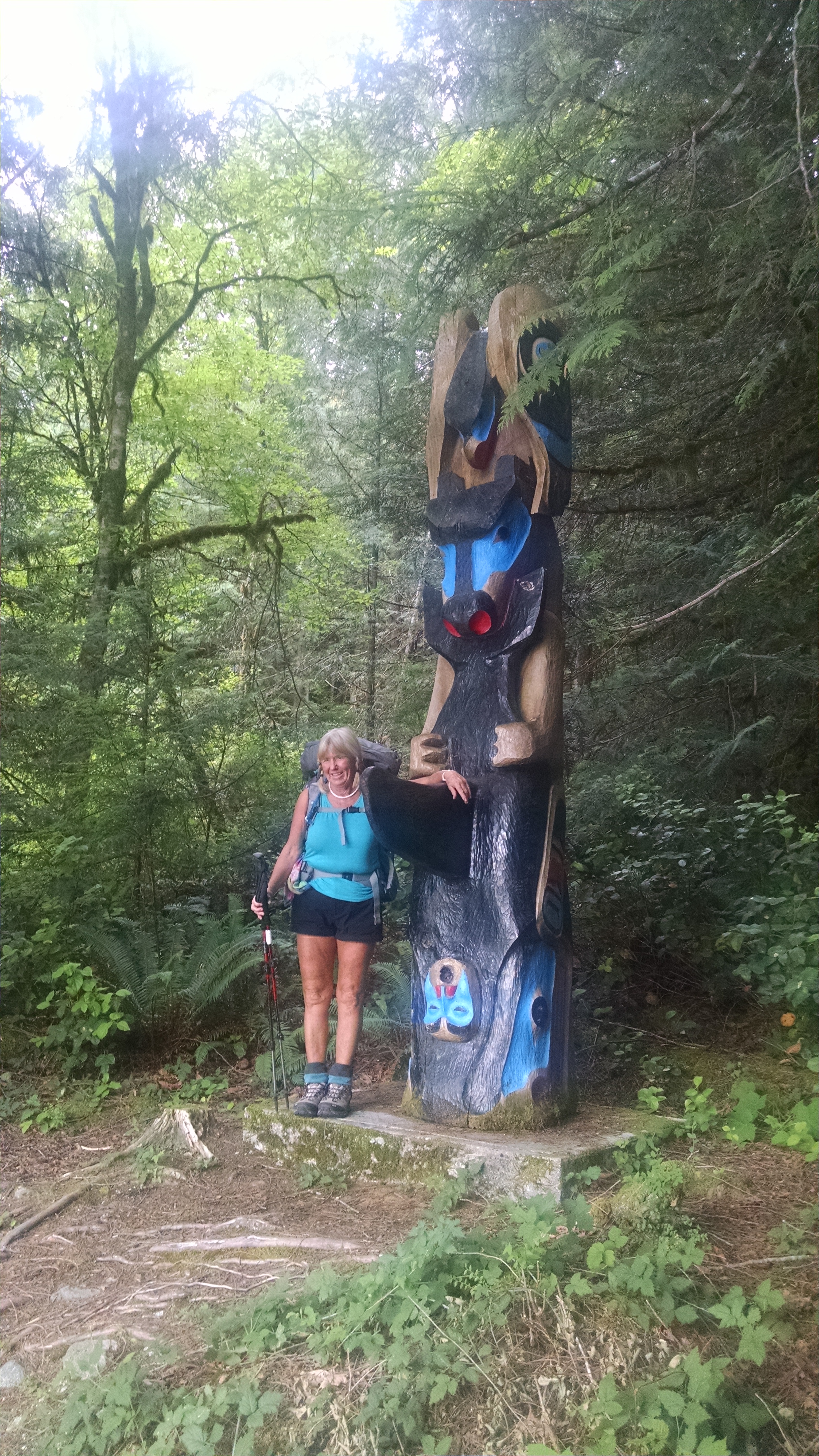
We pack up and beat the rain down the wheelchair accessible trail. There are a few interesting native carvings along the path, which leads us to a bridge to Anthony’s Island. We hope to meet up with Steve’s team, as they double back from Confederation Lake to a different shelter on the west side of Inland Lake.
We find a note at Anthony’s Island shelter that we have just missed the front of Steve’s party train. Holly and a few others pushed on to avoid the rain. Coral and Marjie hike up the trail to find Steve and the rest of his group. They eventually arrive and we share trail tales, and discuss options. They make clear the feared climb to Confederation Lake should not be. Our optimism grows.
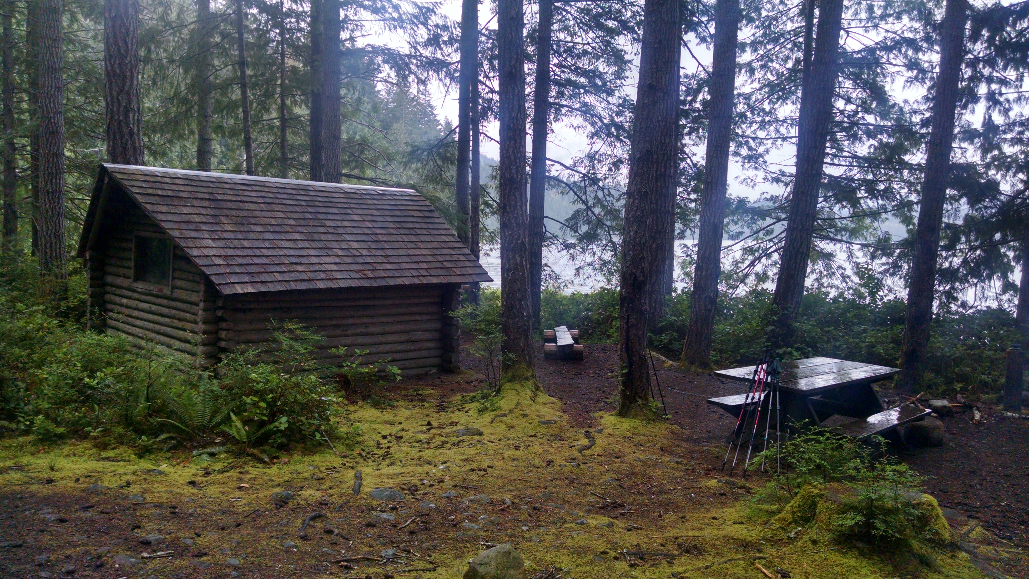
Anthony’s Island Shelter
The forecast is for rain off and on all day, so we four settle into our tiny three platform cabin. The rocky ground has my name all over it. After a lunch of powdered peanut butter & Nutella on crackers, the ladies day-hike back to the campground in search of electrons for Coral’s iPhone. I wander north along the rainy shores, while Jim naps and dreams of drier far off places.
Coral and Marjie return. While their things were getting charged, they figure out how to take a cab from the campground to Powell River for candy, trail mix, and bug spray. Later, Jim is quite intrigued by the ladies’ cab adventure, and asks a lot of detailed questions about the logistics. Hmmm.
I make pasta with red sauce, and we fall asleep, sheltered from the still pouring rain.
We wake to hear Helene’s final decision – she is going on with the Germans. The good news is that someone from our group might make the trail. The bad news is that we have to re-sort food and say goodbye. We take one last group picture before she leaves.
The rest of us will stroll towards a day of rest at Inland Lake. We are officially off plan.
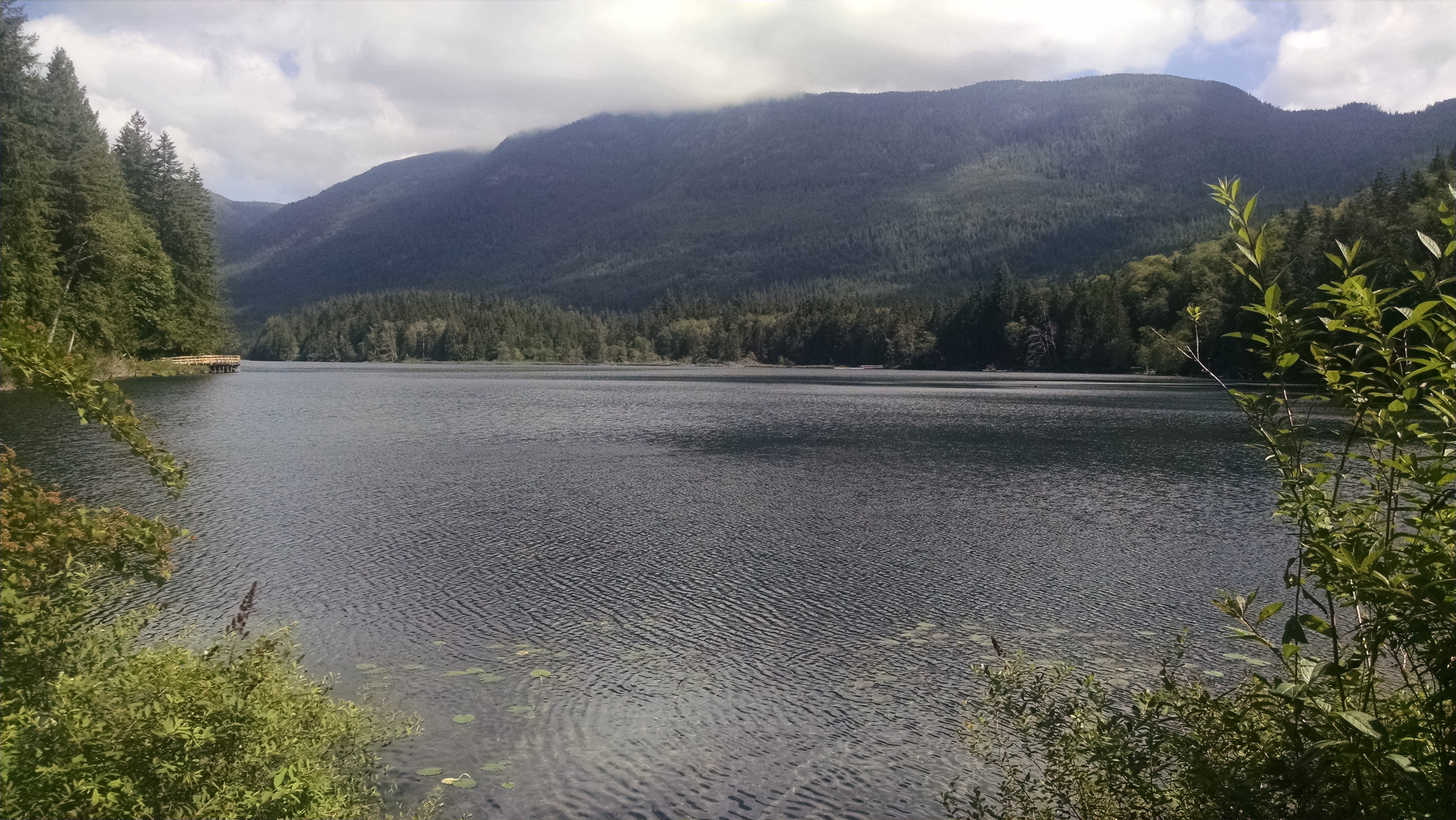
Inland Lake
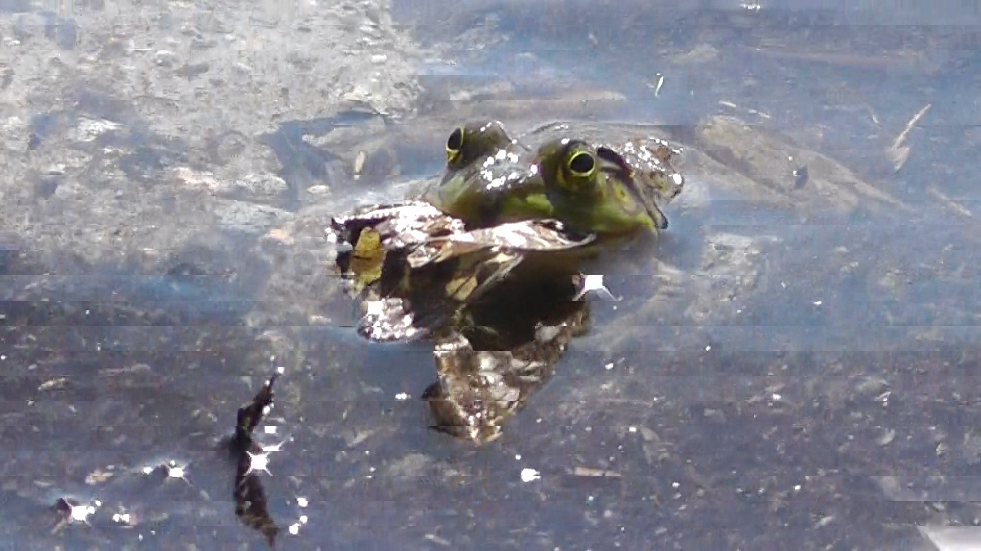
We stop at the car camping campground, borrow a canoe, and paddle and piddle around the lake. We are settling in with the parked RVs, kids circling on bikes, and bundles of firewood for 7 dollars Canadian. The highlight of my day is watching a bullfrog stock, catch, and eat swordtail butterflies.
Coral’s husband apparently misses her, and has agreed to bring in their 4 wheel drive vehicle. He is willing to pluck us out at Fiddlehead in a couple of days. He may even bring Steve’s group in, after their scheduled zero day. It will be kind of like a prisoner exchange. But to make it happen, we have to get up and over the dreaded Confederation Lake pass.
Frog Catches Butterfly
Steve calls via his satellite phone, and reports that the trail up to Confederation is not as bad as feared. Their fast pack was there by 11:00am, and the rest were there by 1:00pm. It appears we could have made it on the original plan, yet my three seem quite happy with their decision.
Tomorrow we will move 3 kilometers down to Anthony’s Island, to stage for our ascent to Confederation lake.
I wake early and make breakfast burritos. We are trying to get an early jump on an 11 mile day. We are learning that STC miles are somewhat longer than normal miles.
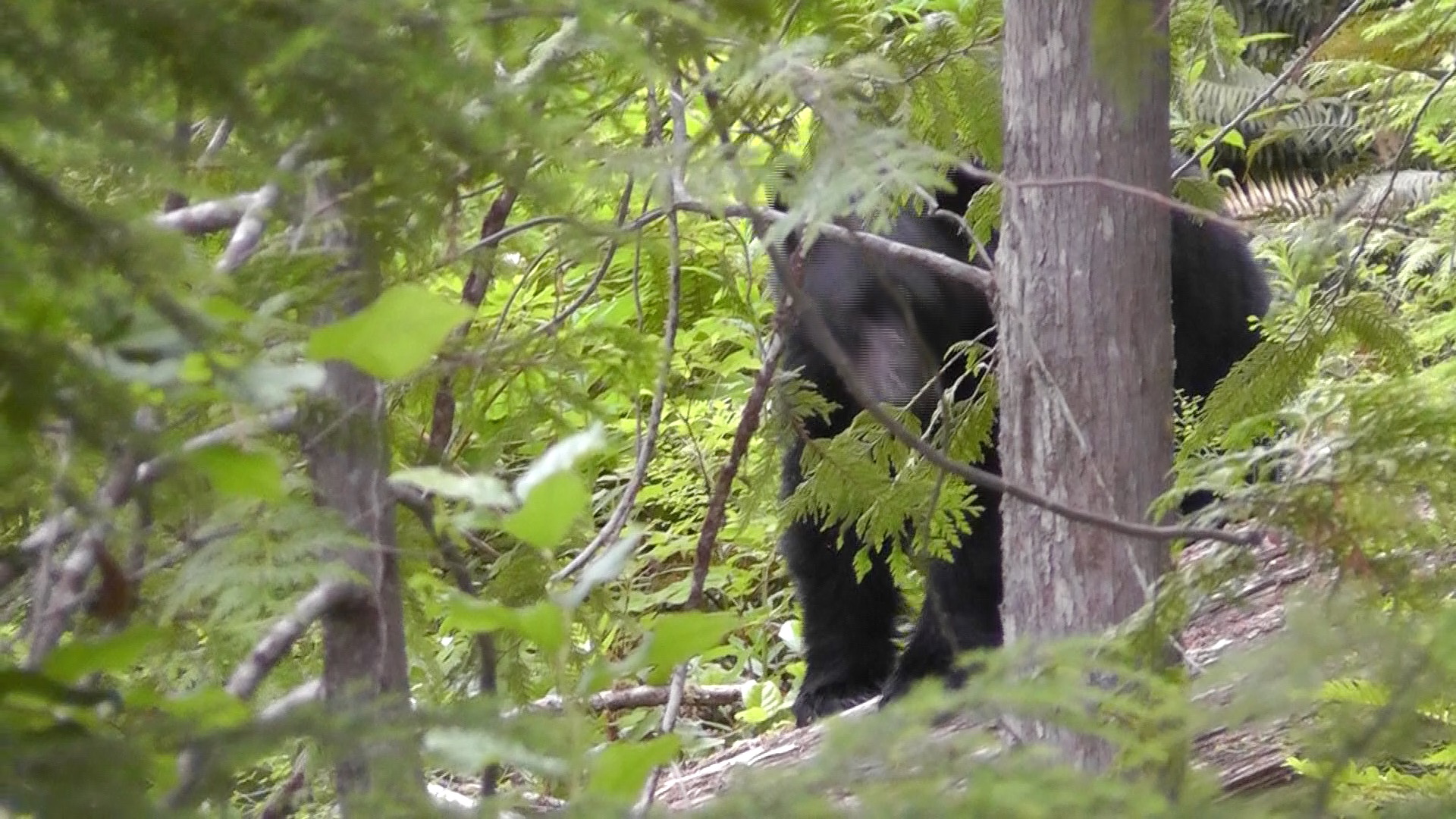
Another Black Bear
As Coral presses through shoulder tall ferns, I hear bear sounds from the bushes. I hurry her along, as the snapping branches are getting loud.
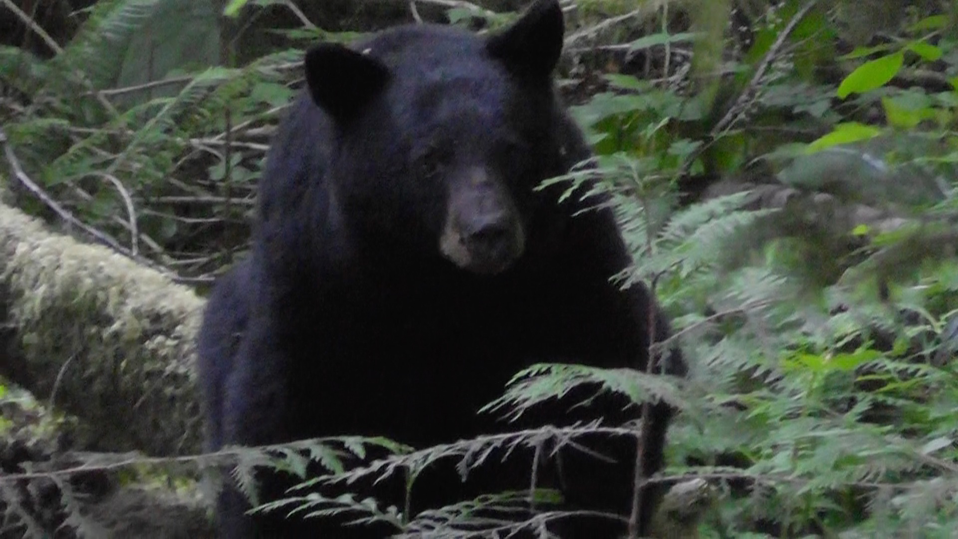
Further down the trail we run into another bear. This one, clearly coming right for us. I guess these guys don’t like us eating their berries. I yell “Hey bear” as Coral bangs her walking sticks. Our presence is now clearly known. Eventually he veers off.
View Near Scout Mountain
We hike up and around Scout Mountain. The views from the top are amazing, but the down is brutally rocky and steep. I feel like I am learning new sailor terms from Jim, or at least hearing them with new found enthusiasm.
As a team, we are fading. We find a note from Steve. His group has fallen back a day, and is now planning to cut back miles and eventually double back for the zero day pickup. It takes us about 11 hours to travel 11 miles. Helene is going strong and can clearly complete the trail, but others have stopped having fun. This is a head game and some heads are no longer in it – not to mention knees and ankles.
We roll into camp by a decent 5:30pm, but the damage is already done. Alternate plans are being alternately discussed.
We wake very early, and have coffee and bagels with cream cheese. We are on the trail before seven, which gives us an hour jump on the previous day. The next few kilometers, along flowing water, are flat, soft and magical. We wonder if this stretch encouraged the group ahead to keep going. It certainly encourages us.
Black Bear
As we meander smiling, Helene hears a noise. Looking around I quickly find a bear. He is quite conflicted between pulling down branches for berries and rubbing his bum on a log. He makes grunting noises, which we conclude are pleasure, if only because we prefer it.
We have a short but steep up section which brings reality back to our day.
Jim does not stop at the shortcut trail split. We do not know which way he went. We have a frantic moment, with me running down one trail, Helene the other, and Coral and Marjie staying put. We are all whistling and yelling for what seems like ages. Jim is apparently in a groove, and does not stop until a spectacular vista. He never even saw the split.
View from Jim’s Overlook
After catching him, I run back to the trail split, find Helene, then we all hike back to the newly name Jim Overlook, in memory of him overlooking the trail split.
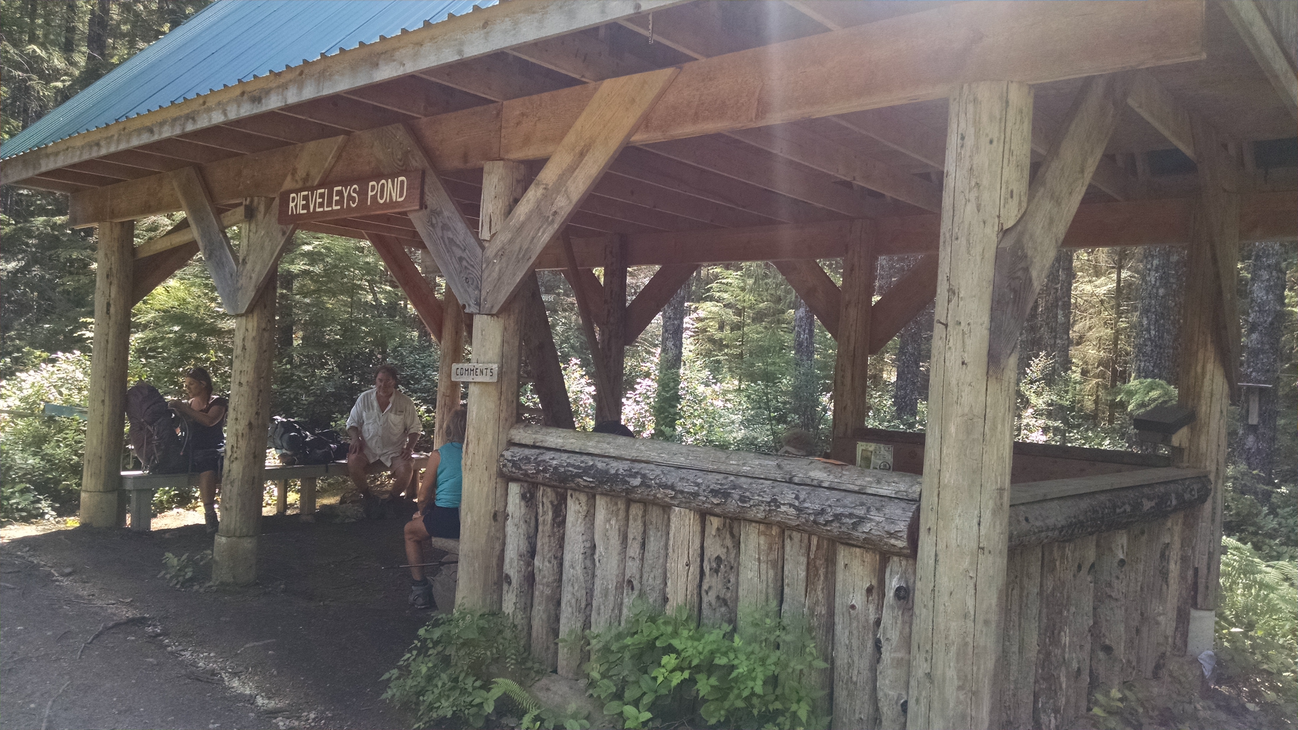
Rieveley Pond Shelter
We hike on to Rieveley Pond Shelter, where we find an encouraging note. The group ahead pushed on. We lounge, filtered water and have rehydrated bean and cheese burritos.
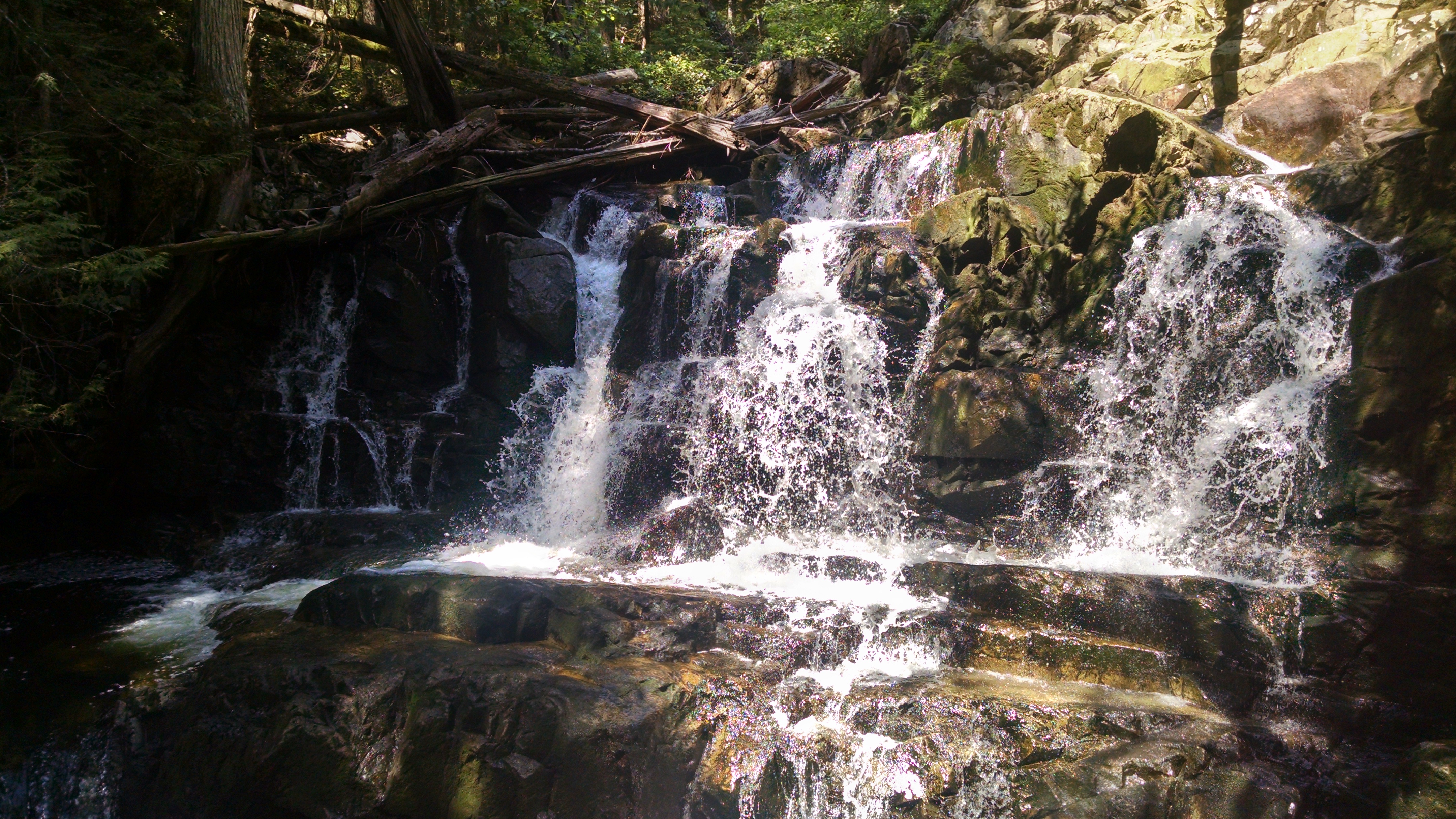
The next few kilometers are quite spectacular, with cooler temperatures, cascading water, and occasion waterfalls. Gorge Falls should be named gorgeous. A dozen people could easily shower under it at the same time.
Every sign we run into indicates Sliammon lake is 4.4 kilometers. We are either walking in place, or this is some kind of sign about the math skills of the sign people. I have a feeling it is a minus sign.
Gorge Falls
We tumble down steep yet incredibly soft tread to the mysteriously warm Large Sliammon Lake. We swim in its warm glory, then make Pad Thai with peas for dinner.
We find no note from Steve, so have no idea how their trip is going. We fall asleep wondering.
Last night was too hot to get under my quilt, so I was eaten alive by mosquitos. I am not sure why the screaming bullfrogs could not have defended me. Flat spot or not, I will pitch a tent, rather than a fit, tomorrow night.
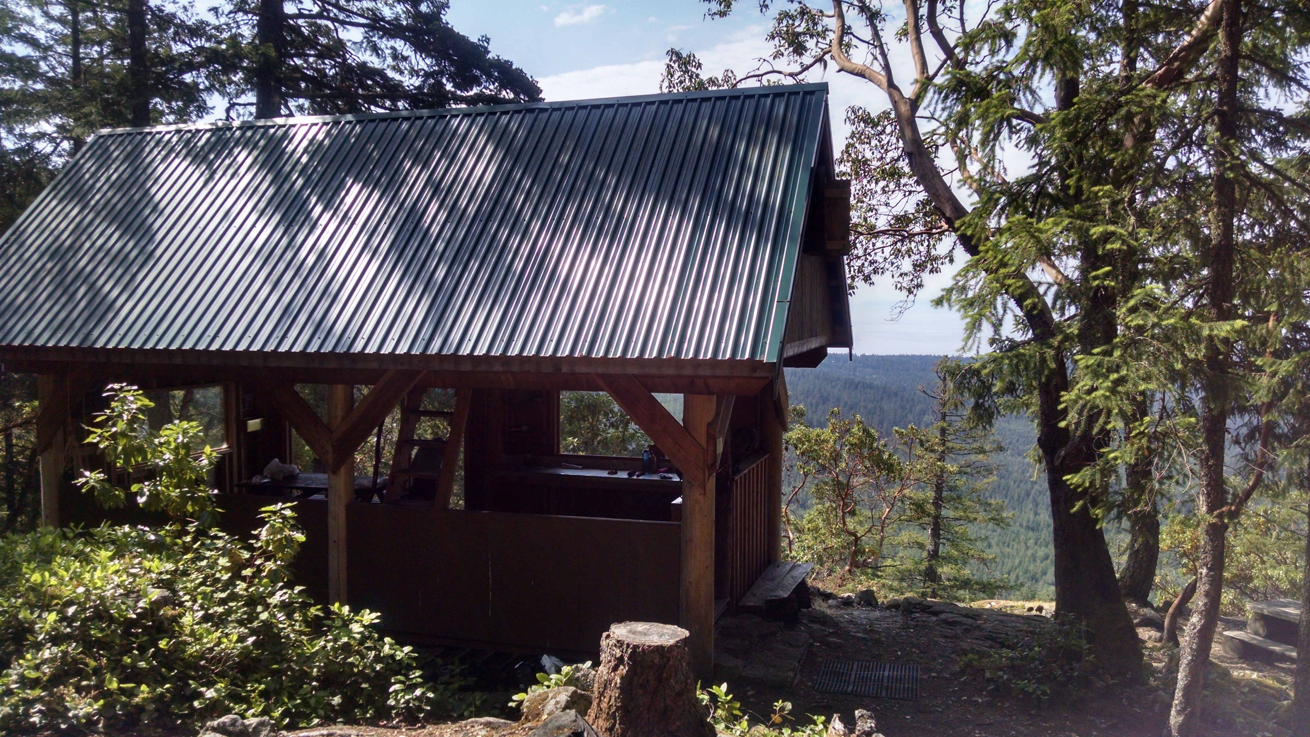
Manzanita Hut
After coffee, hash browns and fake sausage, we soldier on towards Manzanita Hut. The 4 kilometers to the hut are pretty rugged. We think about and feel sorry for the Germans who pushed on last night after dinner. When we do finally make it to the hut, they are still here. They tell us they arrived after 11:00pm. We take pictures and enjoy the great views. They go on ahead, saddled with their “no I can do it without resupplying” monster packs.
Helene’s pack has a curse-able waist belt design, whose apparent hex is the requirement of a hex key. The key’s location is no longer known. We tighten the bolt several times with my pocket knife, but the keyed head is stripping, and we are not enjoying the show. I am unsure how it can possibly last 9 days.
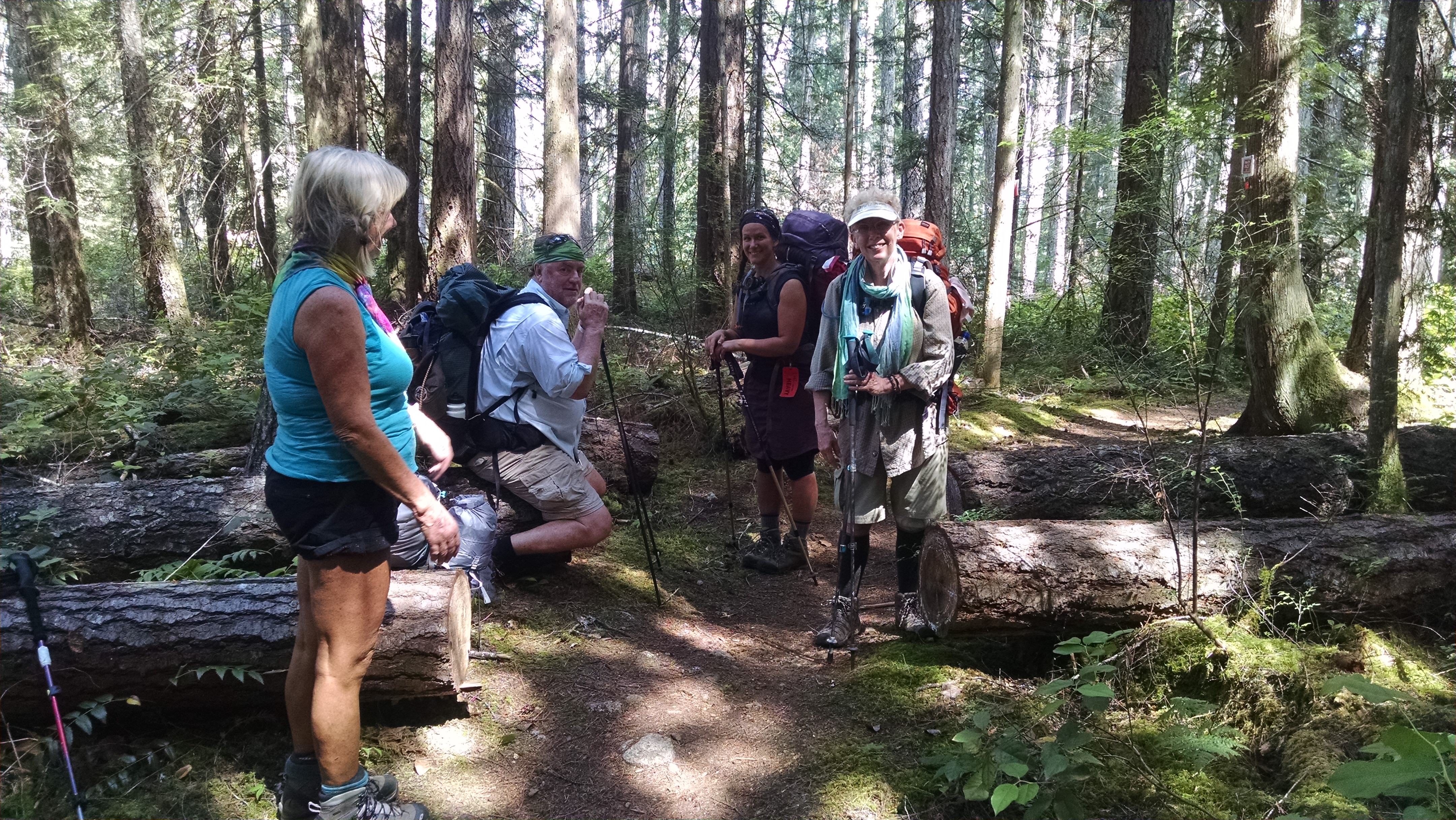
Trail Break
The trail continues to offer us PUDs, or pointless ups and downs. Switchbacks? We don’t need no stinking switchbacks! At on overlook break we find a note from the other Fitpacking group 2 days ahead of us. It ominously states they hope to get to Plummer Creek in the daylight. Given it is light until after 9:30pm, perhaps things are not going so well.
We finally reached camp before 5:30pm and find another note saying they are probably changing their itinerary. Reading these sporadic notes is like trying to follow a reality TV show through Burma-Shave sign posts.
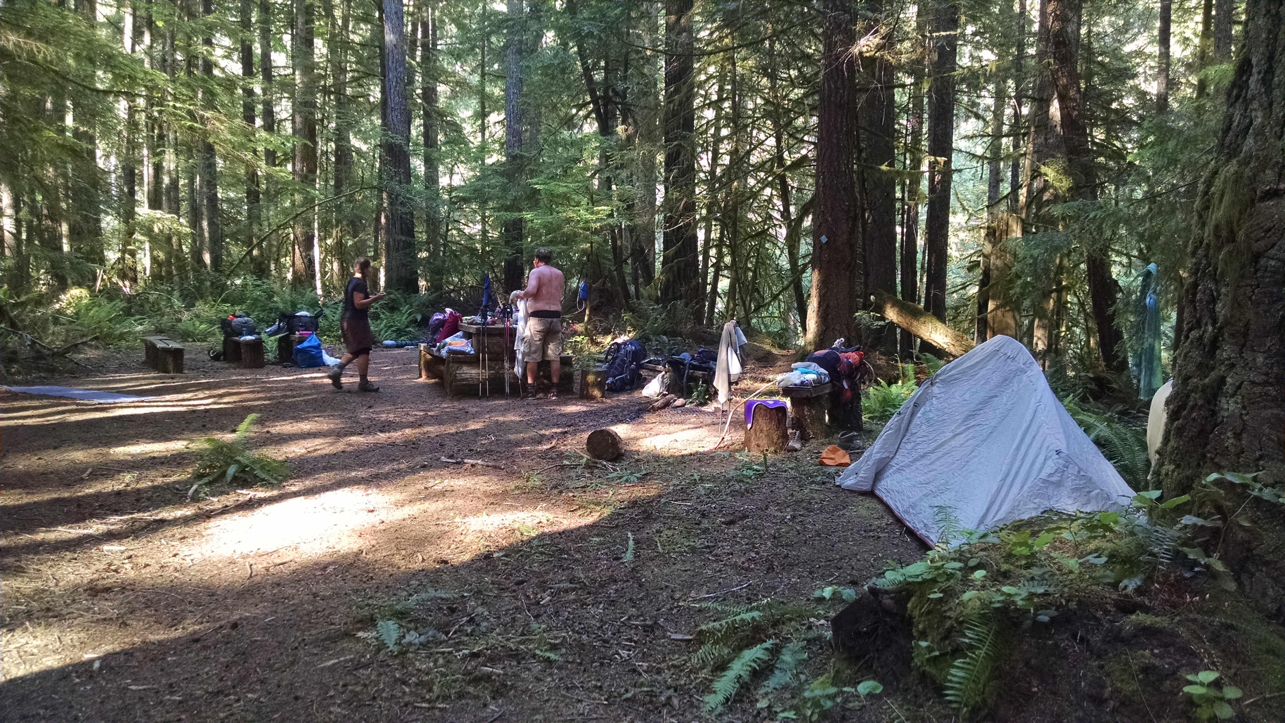
Plummer Creek Campground
The Germans are with us. They had planned to go further, but aching feet do not allow. We filter water to wash down our falafel dinner. Tomorrow we hope to get an early start, attempting to stay on our itinerary.
We wake in the Powell River Town Center Hotel, put our bags in storage, and have a buffet of coffee, microwave cheesy omelettes, and muffins. We await our chariot driver from the Sunshine Coast Shuttle. He arrives complaining that a previous group made him late to the water taxi. We do our best not to disappoint, so we hump it and are on the road by 7:30am. We make Lund in time for our water taxi, but not in time for the renowned Nancy’s Bakery. We can only dream of the glutenous gluttony we miss.
A couple of women pile in the boat with us. I point out an American bald eagle in the distance. The Canadians quickly point out that bald eagles are nothing more than screechy pests, as common and uncivilized as hordes of sea gulls. I reply, quietly, that their Canadian geese poop all over our golf courses. They seem quite pleased.
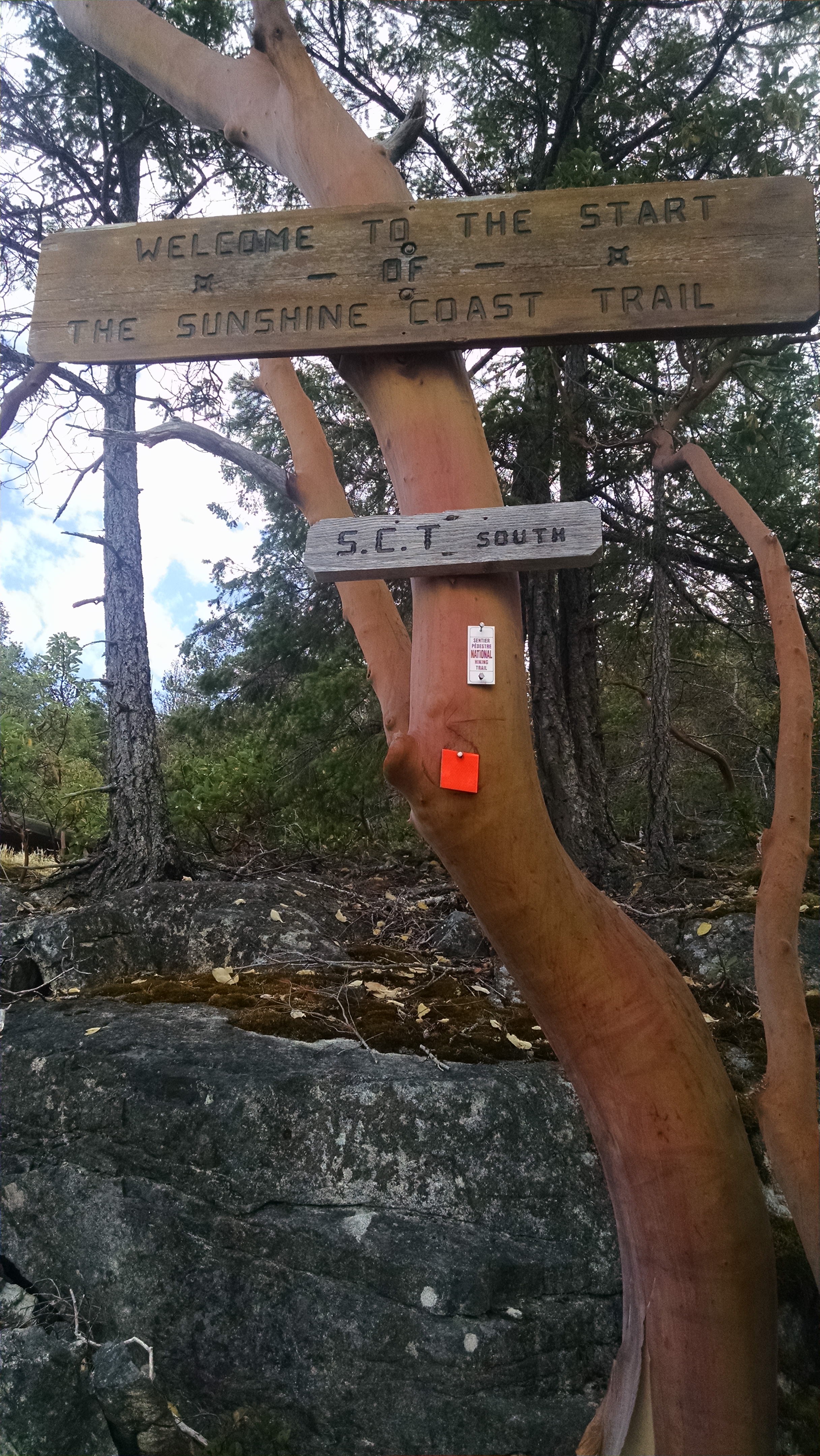
SCT Trailhead
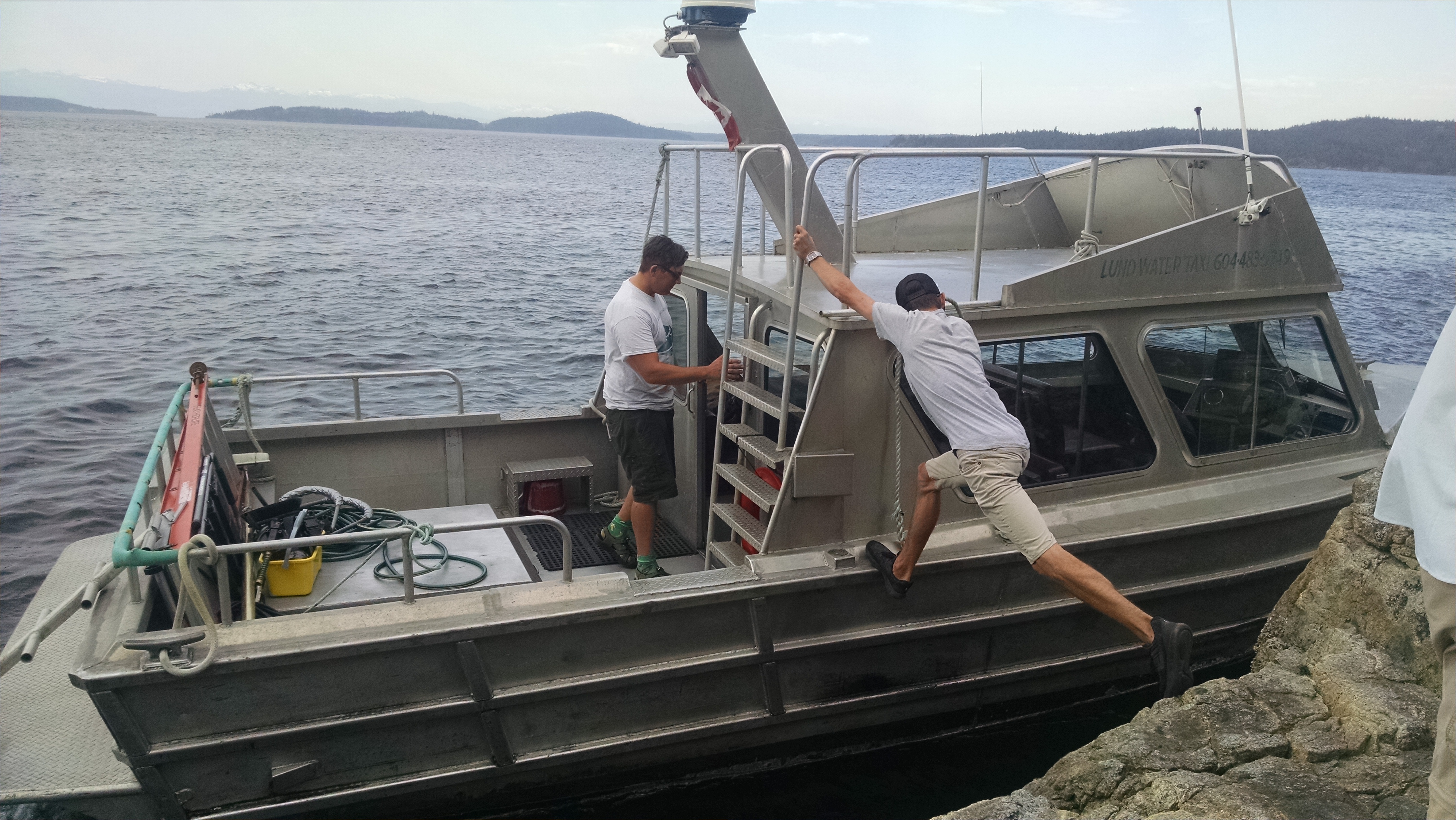
At Sara’s Point, the boat driver wedges his taxi against a large rock, which appears to be flying up and down wildly. As we jump he says “go right,” apparently meaning “go correct,” because according to our map, right is clearly wrong. It takes us a while to overcome this implanted direction bug. Unfortunately, the other ladies do head right, and it is a long time before they realize their mistake and catch back up to us.
It is quite hot plowing through thick tree cover and Jurassic Park ferns. The trail is rocky at first, then gradually becomes more like we expect – soft and meandering. Bear scat appears, but no bear. A German couple, starting an hour behind us, does however see one.
Later, we meet a northbound family walking their neighbor’s dog, which turns and follows us, far away from the neighbor. The dog eventually passes us, and barks in the distance – at what we can only wonder. We feel a tad guilty when the neighbor of the neighborhood dog finally returns, frantically looking for it.
The trail gets rockier and crazier. It turns out that an amazing amount of up and down can happen between contour lines. What appear as flat and easy on the map, is anything but on the actual ground.
Helene hears what she believes is a jaguar, and I insist is a jet ski motor. Later, we come upon a vista overlooking a rock island, surprisingly covered by barking harbor seal-shaped jaguars and jet skis. At least that’s what we tell ourselves so that we can both be right. Or is it left?
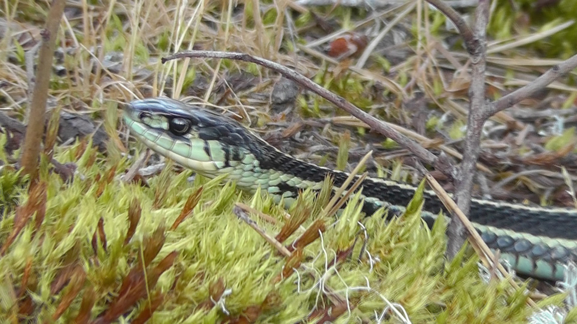
Garter Snake
We finally make it to Wednesday lake. There are very few flat sites on our rocky ledge. And to top it off, the place is swarming with snakes. They are mostly black garters with yellow/blueish strips, though some are very brown. We must step carefully to avoid them. Bull frogs bull-horn quite loudly – so loudly in fact, that the Germans inquire what monster is making that monstrous noise. Unafraid, Marjie and Jim swim in the lake, while I cook veggies and rice.
With little room for a tent, I cowboy camp by a bench overlooking the water. We will have longer miles tomorrow, but an earlier start perhaps.
I am guessing it was a moron named Oxy who christened British Columbia’s Sunshine Coast. British Columbia and sunshine? – in the same sentence? According to Current Results Weather and Science Facts website, the average annual sunshine for the Powell River area is 38%. My first thought – does this include night time? If so, 38% might not be that bad. But alas, as the website begrudgingly reveals, the figure only includes “the usual percentage of daylight hours.” The Sunshine Coast’s claim to fame must not be its weathered name.
Perhaps its claim then is the relatively new 180 km Sunshine Coast Trail (SCT). This trail began in 1992, with the final hut not completed until the spring of 2016. The Sunshine Coast Trail is the under-appreciated step-child of British Columbia’s far more famous, shorter, and yet more honestly named West Coast Trail. After all, the West Coast Trail is actually on the west coast. The Sunshine Coast Trail is seldom in the sunshine, and even less seldom on the coast. It is, however, a trail, so there is that. In fact, the SCT is advertised as Canada’s longest hut-to-hut hiking trail. I assume those 14 huts were built to keep the several inches of daily sunshine from drying out your soaking wet gear.
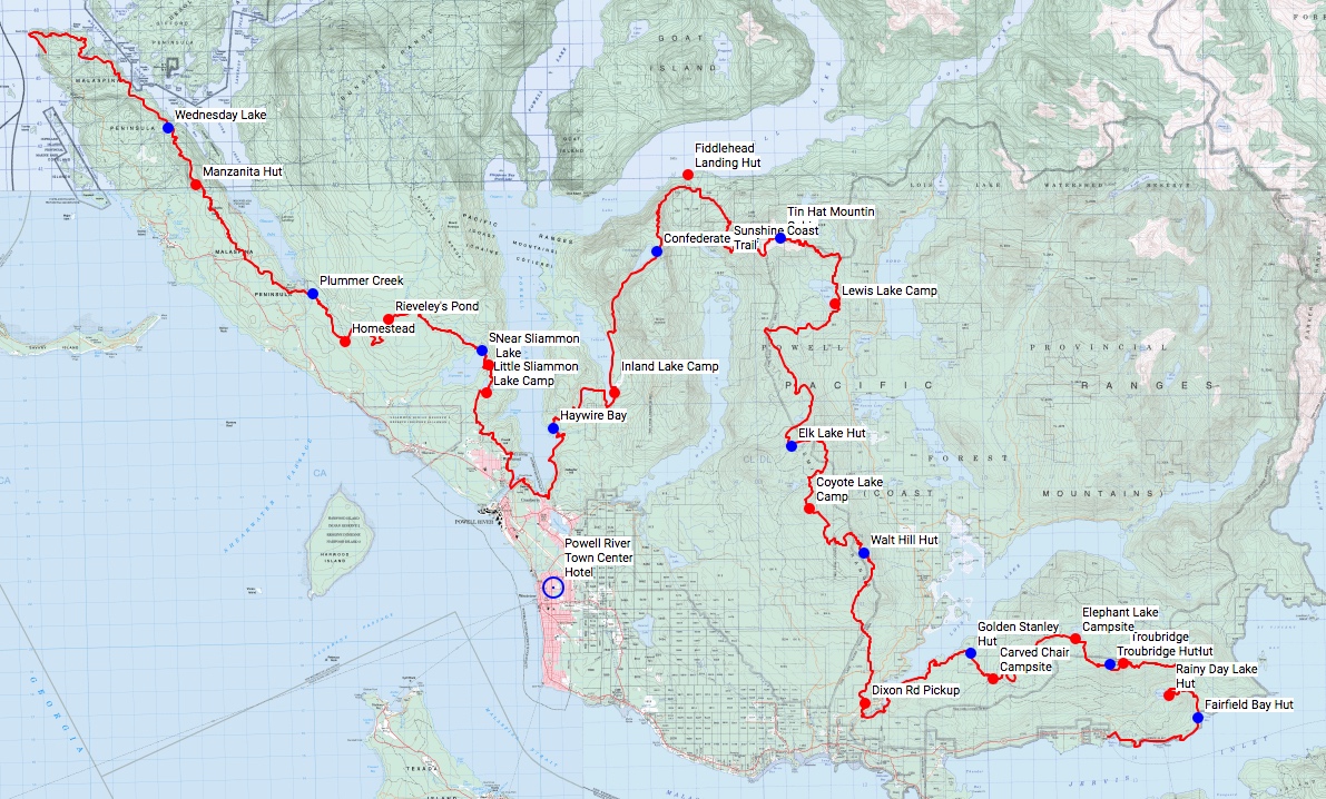
Sunshine Coast Trail
The huts are available free (first-come-first serve) and primarily house local weekend hikers. There are far more section hikers than thru-hikers. Those who do attempt the entire trail, usually start at Sarah Point, and work their way southeast-ish to Saltery Bay.
Getting to the trailhead can be tricky, and may involve a water taxi or car shuttle service.
Starting tomorrow morning, a few of us will start at Sarah Point, and see how far we get.
Last night the stars blazed, and the orbiting satellites vectored in all directions. The half-moon dipped silently into the sea. In the now total darkness, I could clearly see the Milky Way running right through Cassiopeia.
From the Rock to the Finish
This morning I wake to no fog. The wind howls, as it did all night, giving Brian a good test of his MSR Windburner stove. We enjoy Via coffee and breakfast snacks. We slowly gather up our things, not bothering to clean our pots or mugs. We will not be using them again. The car is now so close, yet seems so far away.
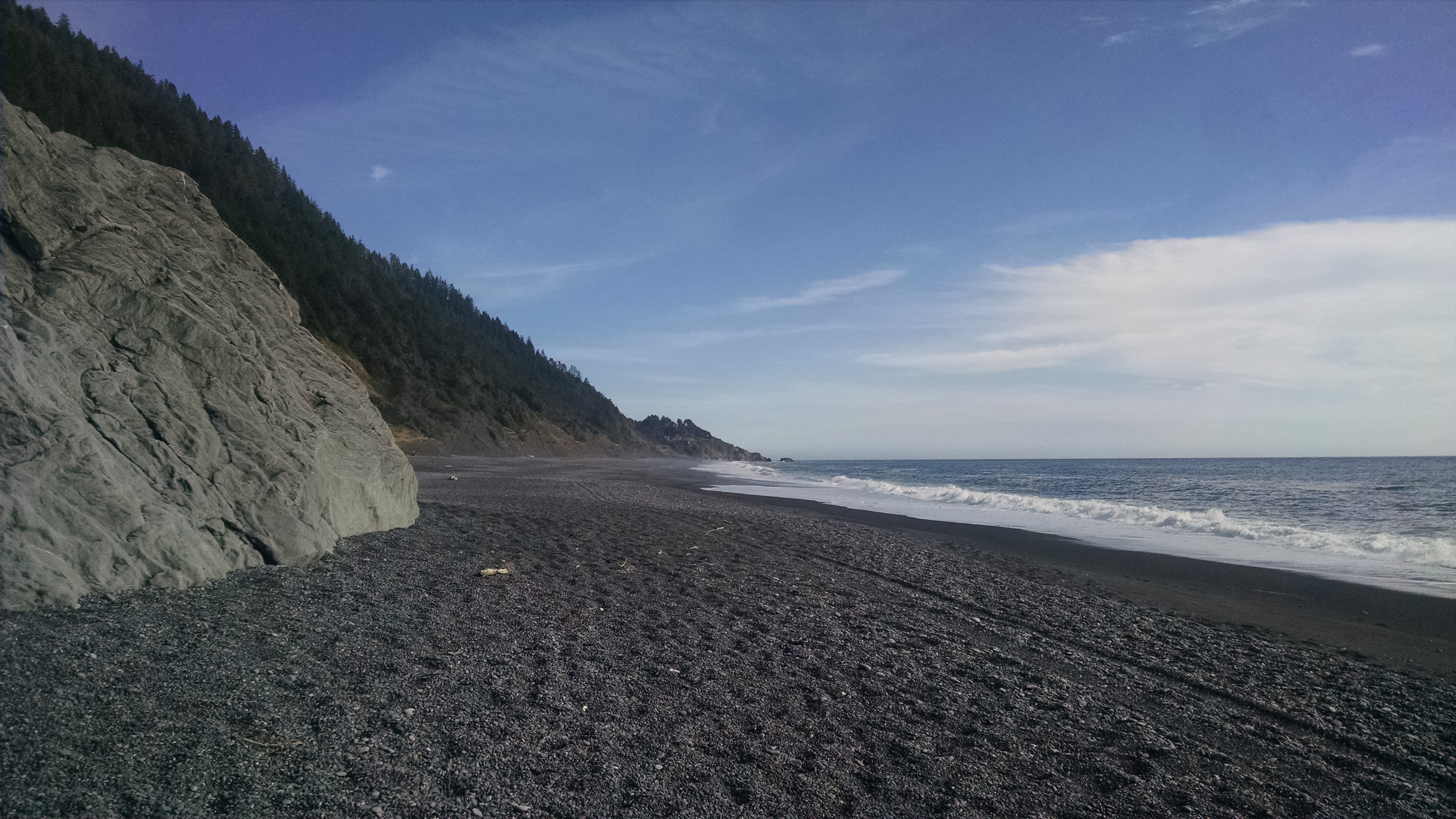
We are the first on the beach, and will clearly beat the guys to the finish line. We again search for that sweet spot of firmness in the sand. Before the impassable impassable, the one impassable even at low tide, we turn up and head to the parking lot.
We throw our packs in the car, and begin the long drive home.
With fewer miles to go, we are in no hurry to leave. We sleep in well past 7 am. Brian makes coffee while Bri and I trade breakfast snacks. I take her cinnamon PopTarts and she takes my smashed Honey Buns. I am not sure it makes much difference, but it feels like variety. During breakfast, a doe tows over her two tiny fawns, making us absolutely fawn at their adorableness. We also try to imagine their tenderness, but leave that discovery to the mountain lions.
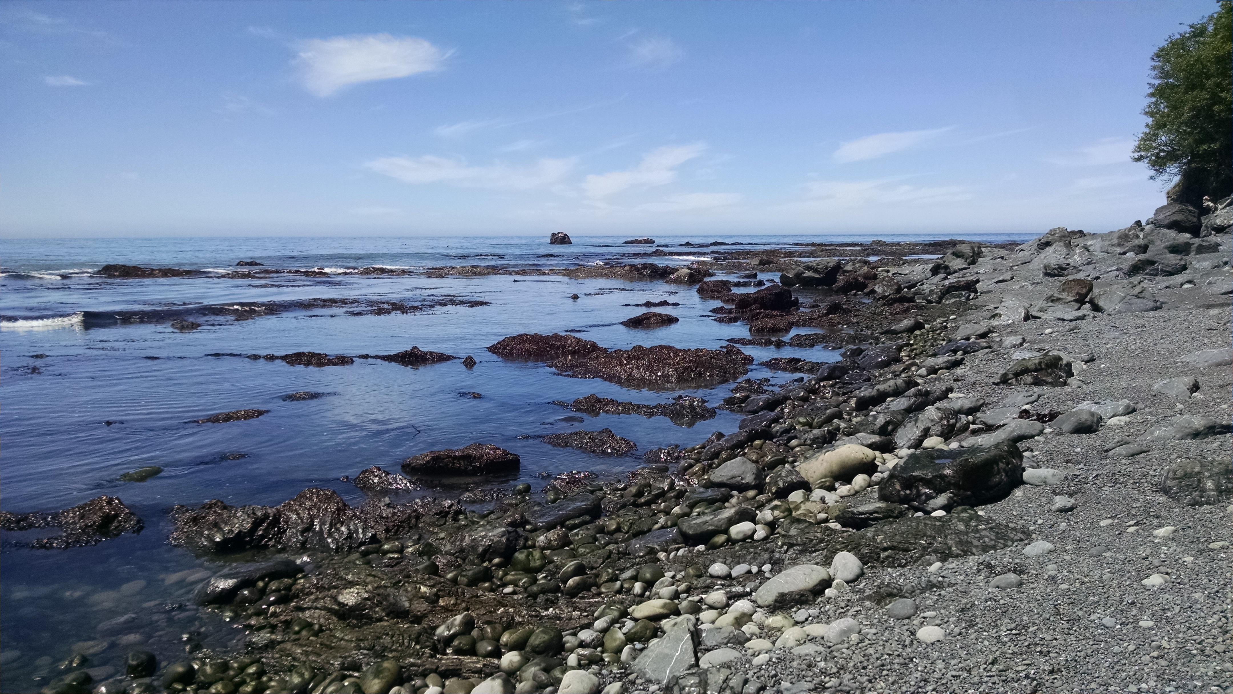
Low Tide Pools
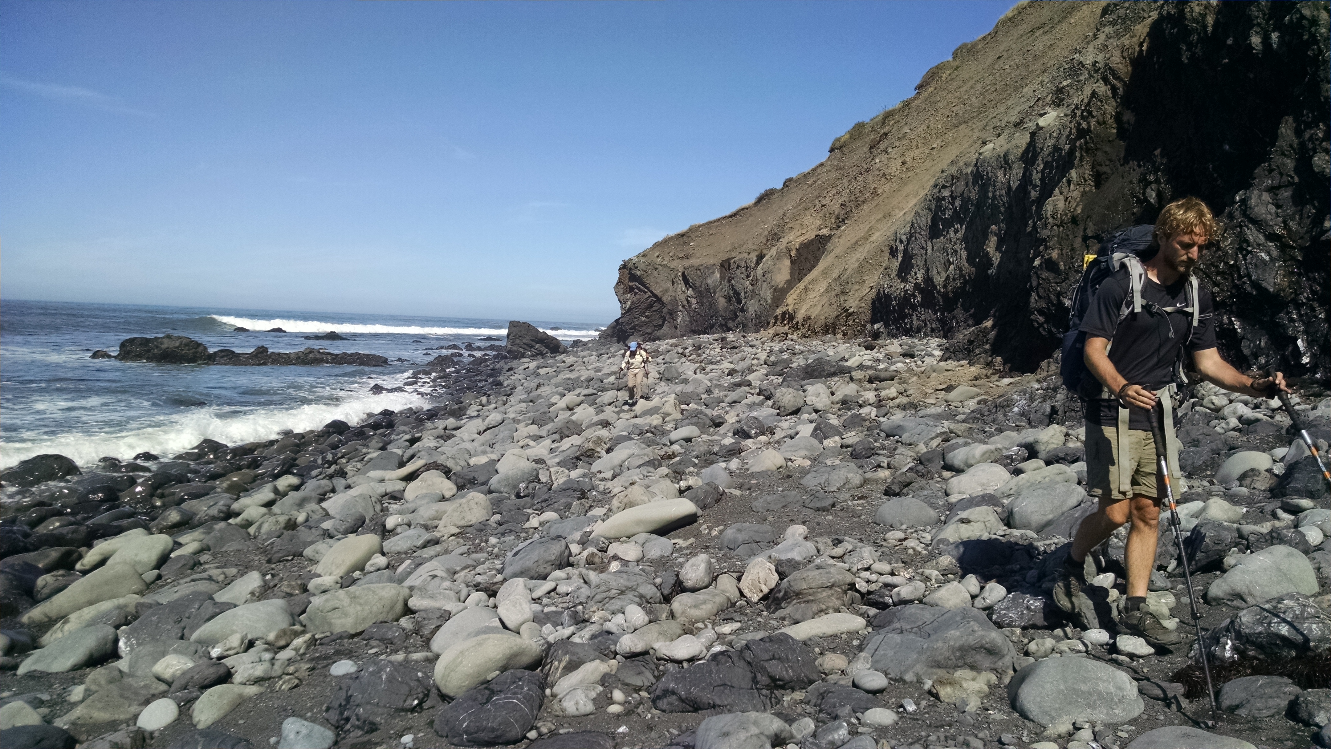
We are probably the last to leave camp. Rather than walking the virgin sand of yesterday, today we follow the zigzagging footprints of those ahead. No bother, the views are still spectacular. We scramble across rocky fields of ankle breaking boulders.
We break briefly at Shipman Creek. The rotting seal puts a slight damper on the otherwise idyllic scene. We continue through the impassable towards Buck Creek. We walk as close as we can to the firm sand by the lapping waves, occasionally chased comically to higher ground. For the most part, we keep our feet dry.
Filtering Water
At Bucks creek we break for lunch. Three guys nicely share the shade. We realize we have been on their same itinerary, camping each night in the same location. They too are looking to spend one more night in the Lost Coast. In other words, there are few options left, and we have competition. The next option is Gitchell Creek. The guys head out before us, to check it out.
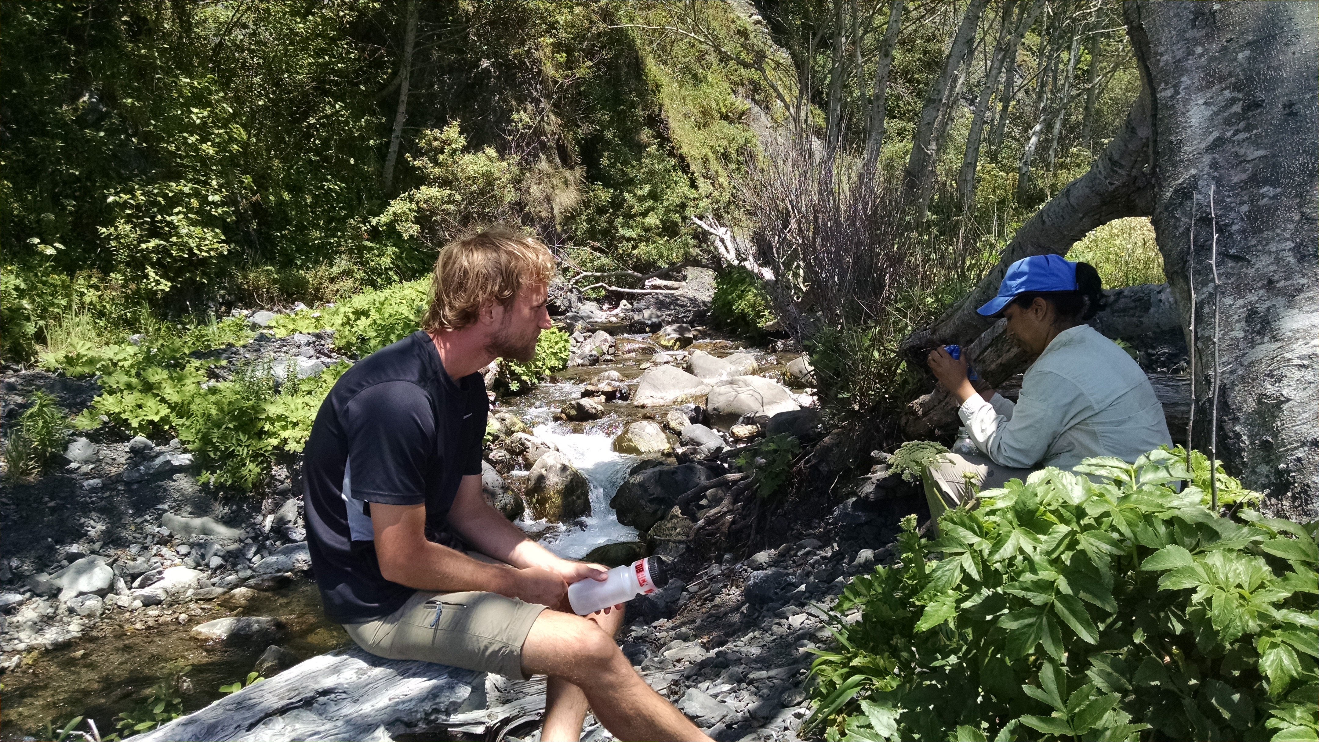
At Gitchell Creek we do not find the guys, but rather a couple taking a late lunch. The couple is also considering their options. There is really only one spot, and they hint strongly they might stay. They suggest we check out Horse Mountain Creek, but we are sure the three guys are well on their way to that spot. We hike to a shady bunch of trees, but find no fresh water. We do, however, find more than enough mosquitoes. Rather than donate blood, we decide to push on.
Horse Mountain Creek seems further than we expect. When we arrive, the guys have already set up in the only decent shady spot. There is plenty of room in the sand, but it is uncomfortably hot in the direct sun. We grab some water and push on to a huge pair of rocks on the beach, where Brian and Bri camped two years ago. There is shade, and we claim it.
Making Dinner
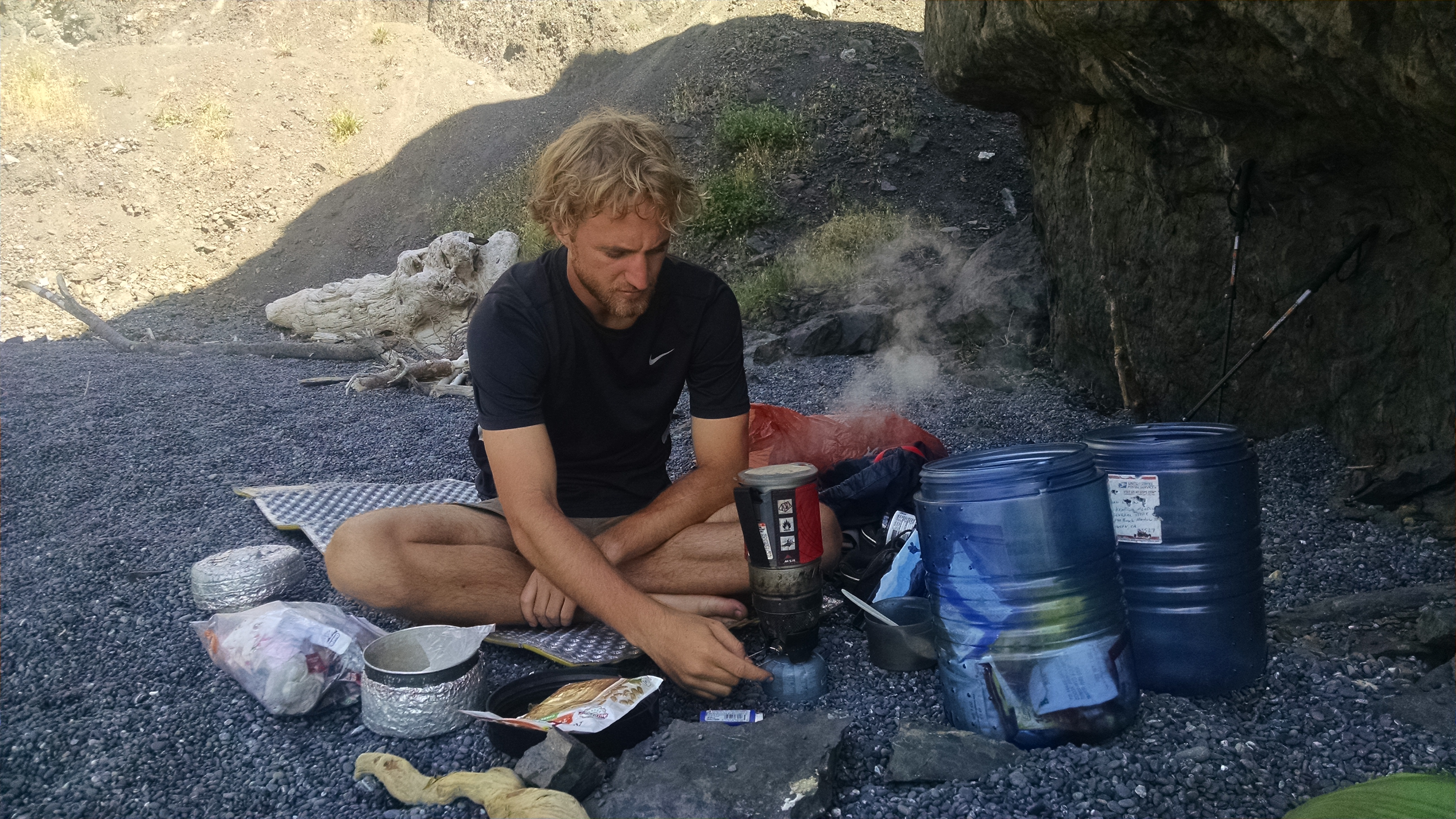
We make awesome bean, cheese, rice, and salsa burritos. I finally get a chance to experience the inner tidal toilet. I know the rule is to deposit human waste by the sea, but it just feels wrong on all counts.
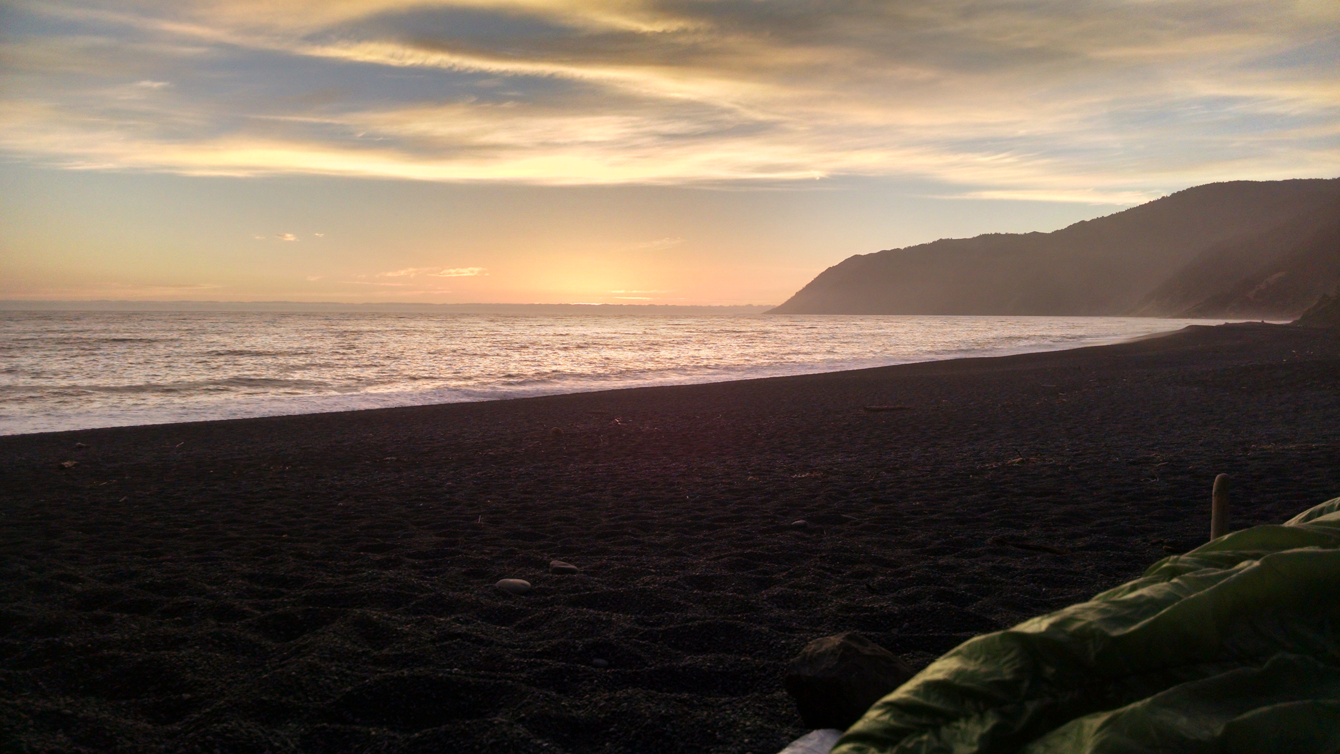
Sunset from my Sleeping Bag
I decide to forgo the tent, and cowboy camp. I am hoping fog does not make me regret my decision. We enjoy an awesome sunset.